The best walks and hikes around Montagny-Sur-Grosne
4.6
(168)
679
hikers
74
hikes
Hiking around Montagny-Sur-Grosne offers diverse landscapes within the Bourgogne-Franche-Comté region of France. The area features hilly terrain with elevations ranging from approximately 283 to 535 meters (928 to 1,755 feet), overlooking the Grosne valley. Extensive beechwood and Douglas fir forests contribute to the natural scenery, alongside agricultural lands characterized by bocage and vineyards. These varied environments provide a range of hiking experiences.
Best hiking trails around Montagny-Sur-Grosne
- The most popular hiking route is Lake Saint-Point – Berthaud Wood loop from…
Last updated: July 11, 2026
4.7
(10)
37
hikers
7.93km
02:21
230m
230m
Moderate hike. Good fitness required. Easily-accessible paths. Suitable for all skill levels.
5.0
(5)
28
hikers
3.84km
01:05
80m
80m
Easy hike. Great for any fitness level. Easily-accessible paths. Suitable for all skill levels.

Sign up for free
5.0
(4)
17
hikers
6.04km
01:40
100m
100m
Easy hike. Great for any fitness level. Easily-accessible paths. Suitable for all skill levels.
3.0
(1)
32
hikers
Easy hike. Great for any fitness level. Easily-accessible paths. Suitable for all skill levels.
4.6
(7)
14
hikers
13.3km
04:01
430m
430m
Moderate hike. Good fitness required. Easily-accessible paths. Suitable for all skill levels.
Get access to more routes and recommendations from other explorers.
Sign up for free
Already have an account?
Our route recommendations are based on thousands of hikes, rides, and runs completed by other people on komoot.
Start today with a free account
Your next adventure awaits.
Login or Signup
Tips from the Community

Small restaurant with a cozy atmosphere 😉
0
0
Beautiful small lake that invites you to swim, not too crowded and warm in summer.
0
0

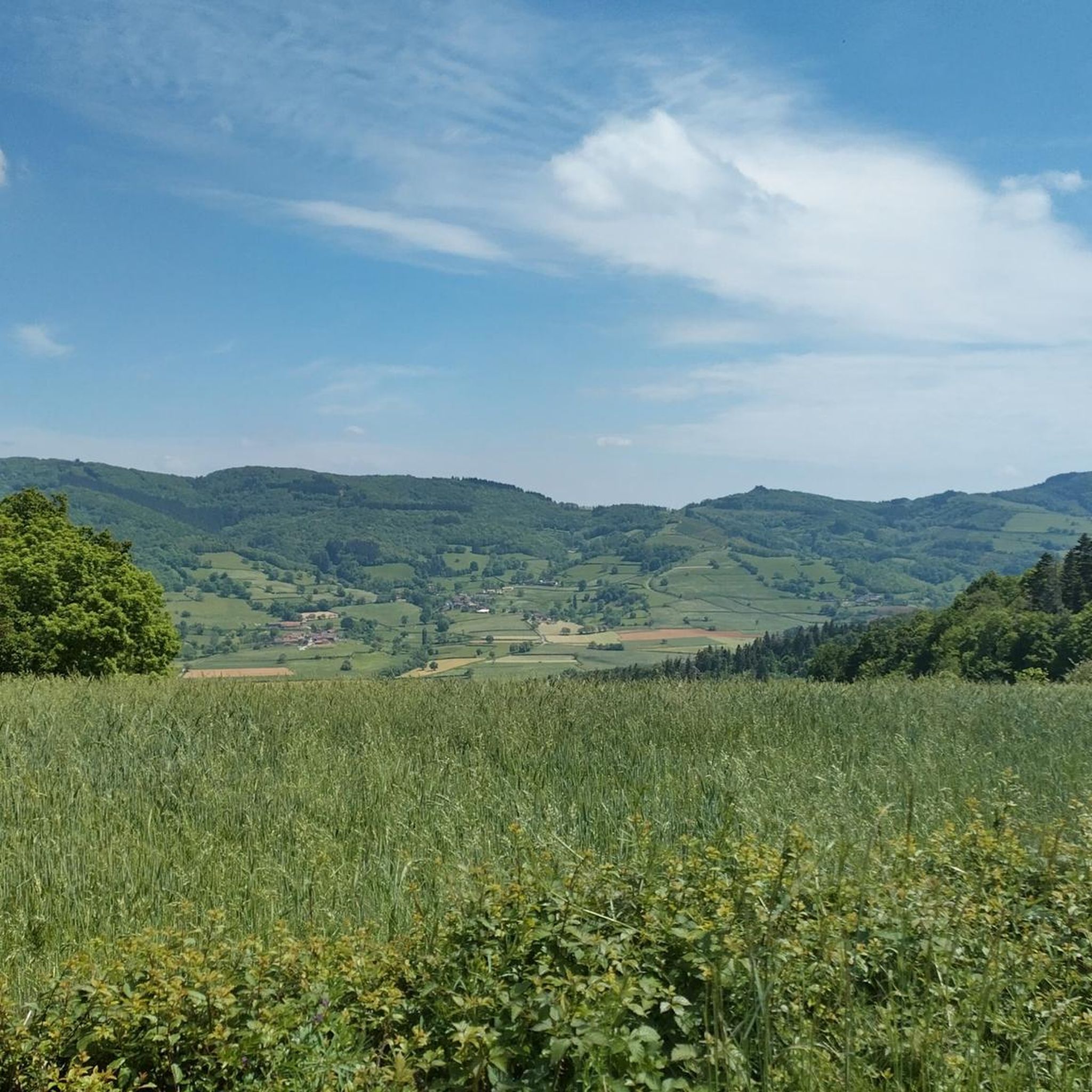
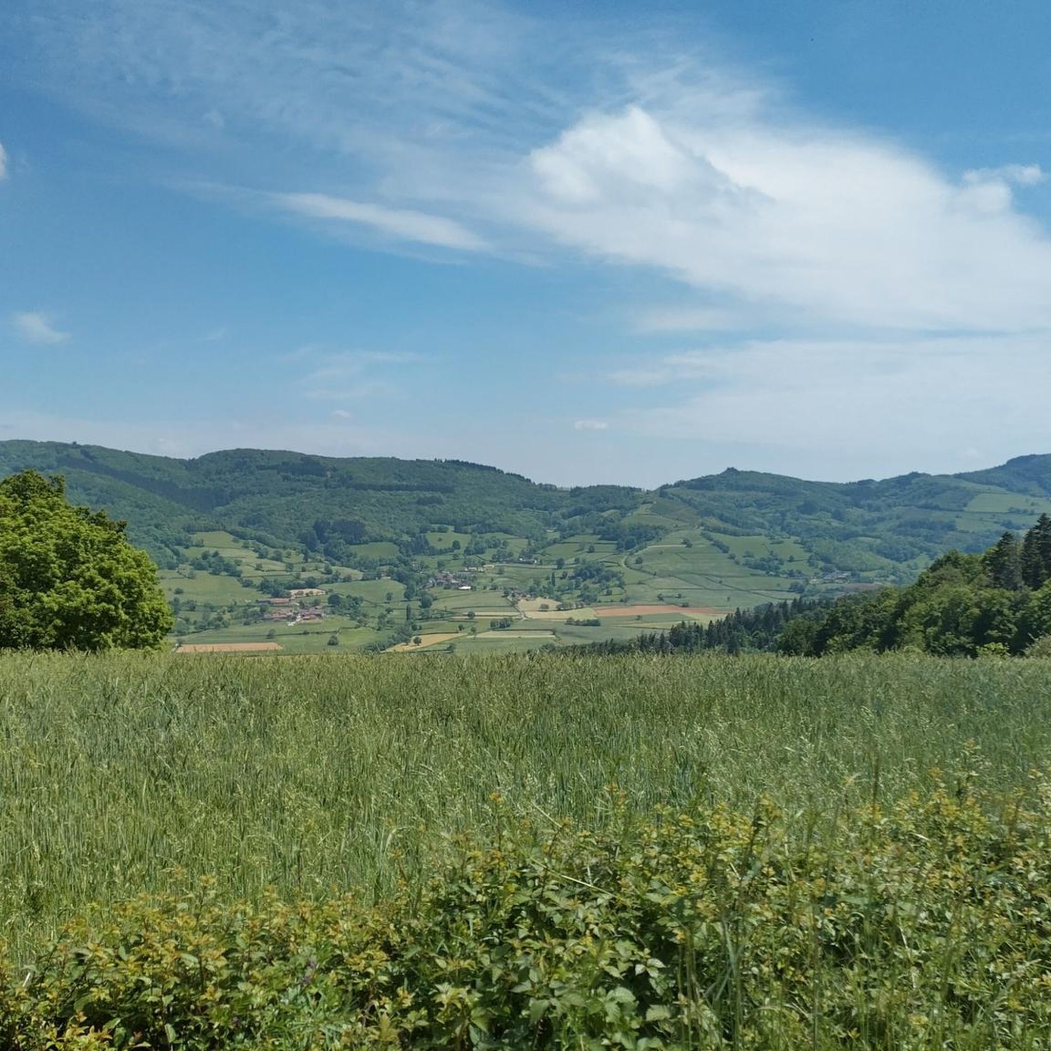
Great landscape panorama at Bois Berthaud, a popular nature and hiking area in Burgundy (France), located in the hills of the Mâconnais or Beaujolais region. The area is characterized by vast, green hill ranges, calf and cow pastures, as well as wooded sections. From the ridges around Bois Berthaud, there is a sweeping panoramic view of the surrounding countryside.
1
0
The lake is located in the French region of Bourgogne-Franche-Comté, in the département of Doubs, at an altitude of around 850 meters. After Lac du Bourget and Lac d'Annecy, it is the third largest natural lake in France. It is a very popular swimming lake in the summer and offers opportunities for kayaking, windsurfing, and stand-up paddling. There is also a popular hiking trail around the entire lake, approximately 20 kilometers long.
1
0
The lake is located in the Doubs department in the French region of Bourgogne-Franche-Comté at an altitude of around 850 meters. After Lac du Bourget and Lac d'Annecy, it is the third largest natural lake in France. It is a very popular lake for swimming in the summer and offers opportunities for kayaking, windsurfing, and stand-up paddling. There is also a popular hiking trail around the entire lake, approximately 20 kilometers long.
1
0

There's a circular trail and many nice, secluded spots. The campsite has a cafe, which is unfortunately closed at lunchtime, but still offers shady seating, toilets, and fresh water.
1
0


For those who want to be on the life journey of Alphonse de Lamartine and discover southern Burgundy.
1
0
Frequently Asked Questions
How many hiking trails are available around Montagny-Sur-Grosne?
There are over 75 hiking trails in the Montagny-Sur-Grosne area, offering a wide variety of experiences. These include easy walks around local ponds, moderate forest trails, and more challenging routes through the hilly terrain.
What kind of terrain can I expect on hikes in Montagny-Sur-Grosne?
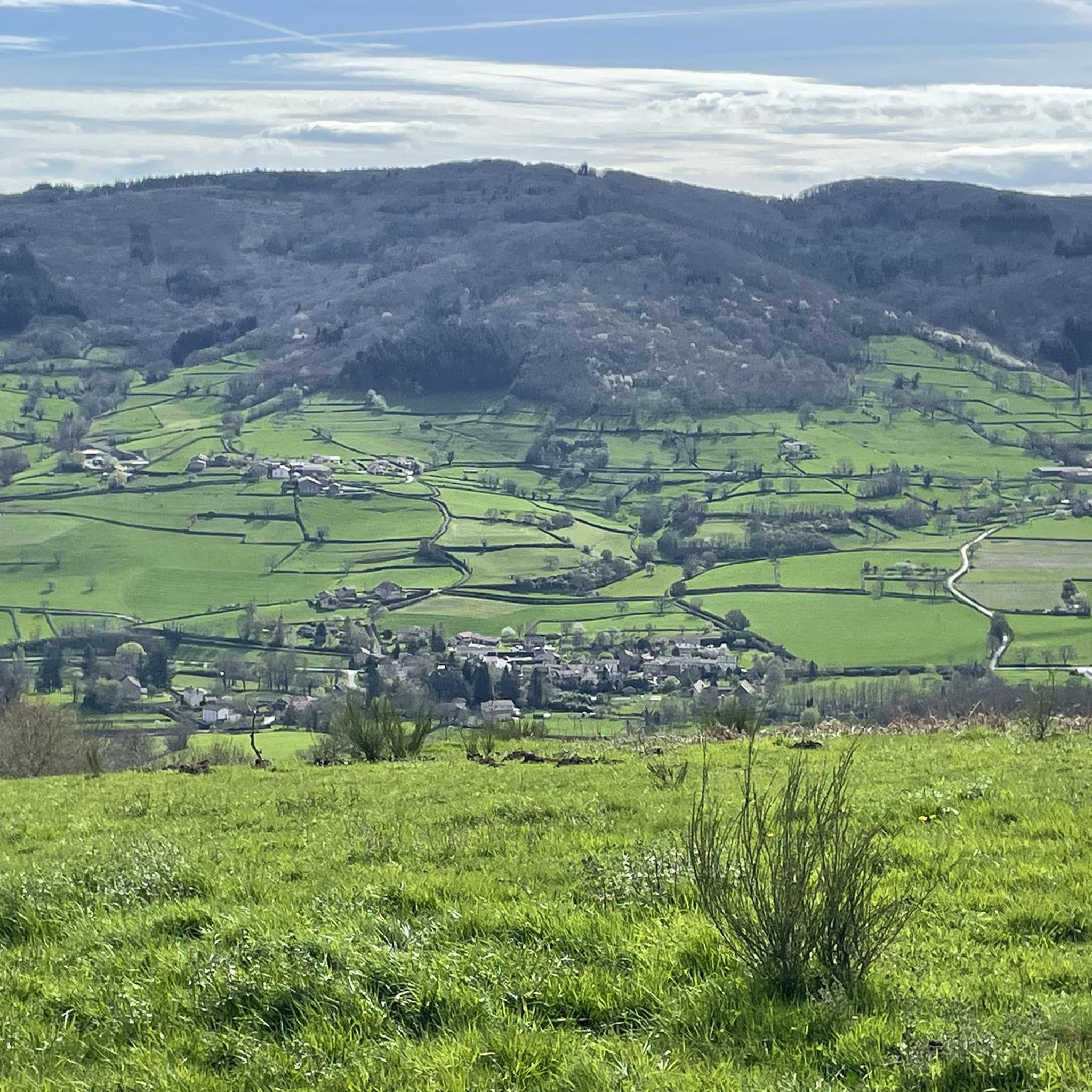
The region features diverse terrain, including hilly landscapes with elevations ranging from approximately 283 to 535 meters, offering pleasant views over the Grosne valley. You'll also find extensive beechwood and Douglas fir forests, agricultural lands with bocage, and picturesque vineyards, especially vibrant in autumn.
Are there any easy, family-friendly walks in the area?
Yes, Montagny-Sur-Grosne offers several easy routes suitable for families. For example, the Vernée-Dompierre Pond loop from Dompierre-les-Ormes is an easy 3.8 km trail, and the Lake Saint-Point loop from Saint-Point is a short 1.9 km option, perfect for a leisurely stroll.
What are some notable landmarks or points of interest to see while hiking?
Beyond the natural beauty, you can explore local points of interest such as the Saint-Fiacre church, a restored bread oven, and a small fountain within the village. The region is also known for its vineyards, and the Montagny Wine Trail offers informative panels about the local wine appellation. Further afield, the Tunnel du Bois Clair, Europe's longest cycling tunnel, is a unique attraction.
Are there any circular walks available?
Many of the trails in Montagny-Sur-Grosne are designed as circular routes, allowing you to start and end in the same location. An example is the Étang de Pézanin loop from Dompierre-les-Ormes, a 6 km trail through forested areas and around the pond.
What is the best time of year to go hiking in Montagny-Sur-Grosne?
While hiking is enjoyable year-round, autumn is particularly recommended. The vineyards of the Côte Chalonnaise offer 'flamboyant and enchanting landscapes' during this season, providing picturesque routes with stunning colors.
What do other hikers enjoy most about the trails here?
The trails in Montagny-Sur-Grosne are highly rated by the komoot community, with an average score of 4.6 stars from over 150 reviews. Hikers often praise the varied scenery, from tranquil forests and rolling hills to charming vineyards, and the well-maintained network of paths.
Are there any longer, more challenging hikes for experienced trekkers?
Yes, for those seeking a longer adventure, the Lake Saint-Point – Trail Near Bourg de Tramayes loop from Saint-Point is a moderate 13.4 km path that explores a larger lake area and nearby forest trails, offering more elevation gain and distance.
Can I find trails that offer views of the vineyards?
Absolutely. Montagny-Sur-Grosne is nestled within the Côte Chalonnaise wine region. Many trails, including the specific Montagny Wine Trail, wind through the vineyards, providing beautiful views of the wine-producing landscapes.
Is public transport available to access hiking trails?
While the region is well-connected for outdoor activities, specific public transport links directly to trailheads in Montagny-Sur-Grosne might be limited. It's advisable to check local transport schedules or consider driving to access the various starting points for hikes.
Are there any trails that pass by lakes or ponds?
Yes, several trails feature lakes and ponds, providing serene settings for your hike. The Lake Saint-Point – Berthaud Wood loop from Saint-Point is a popular 7.9 km trail that offers views of the lake and surrounding woodlands.
Most popular routes around Montagny-Sur-Grosne
Most popular attractions around Montagny-Sur-Grosne

Get inspired with the komoot mobile app


Explore more
Browse the best Hikes in other regions.
