The best running trails around Saint-Léger-Sous-La-Bussière
4.5
(6)
485
runners
89
runs
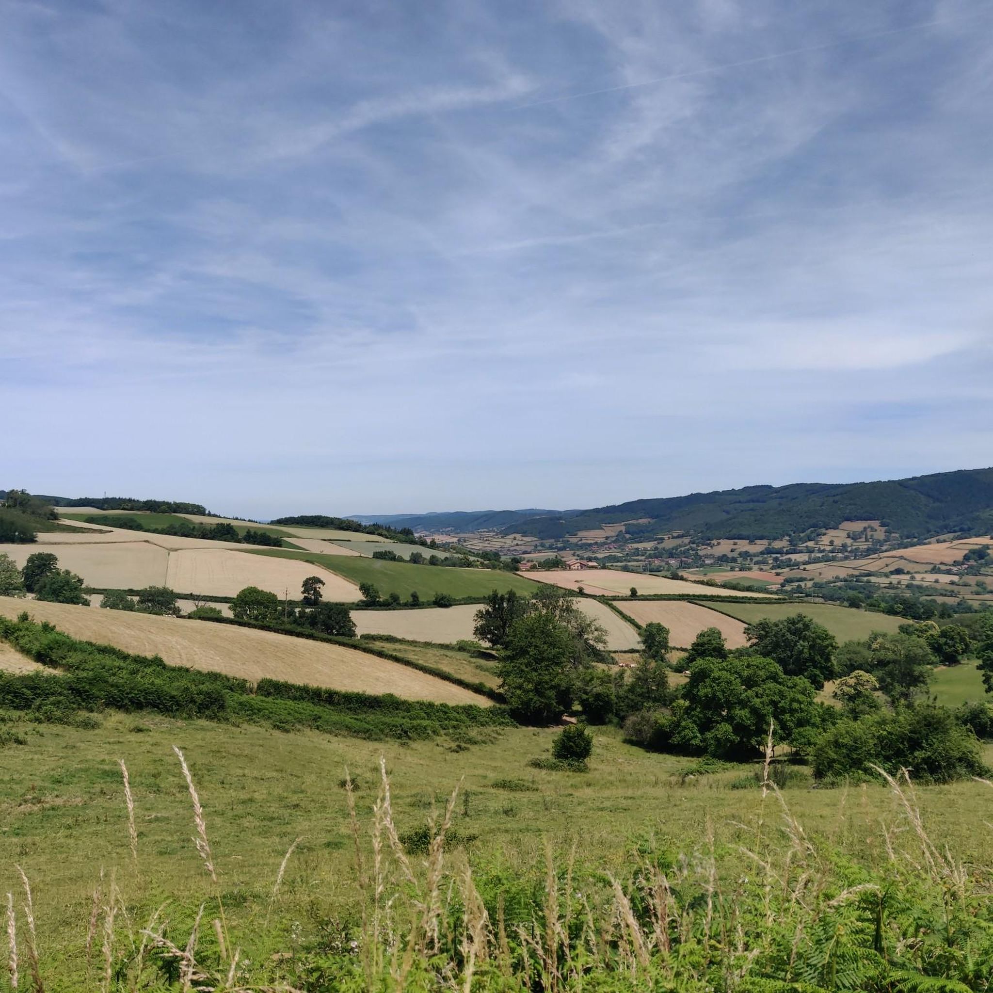
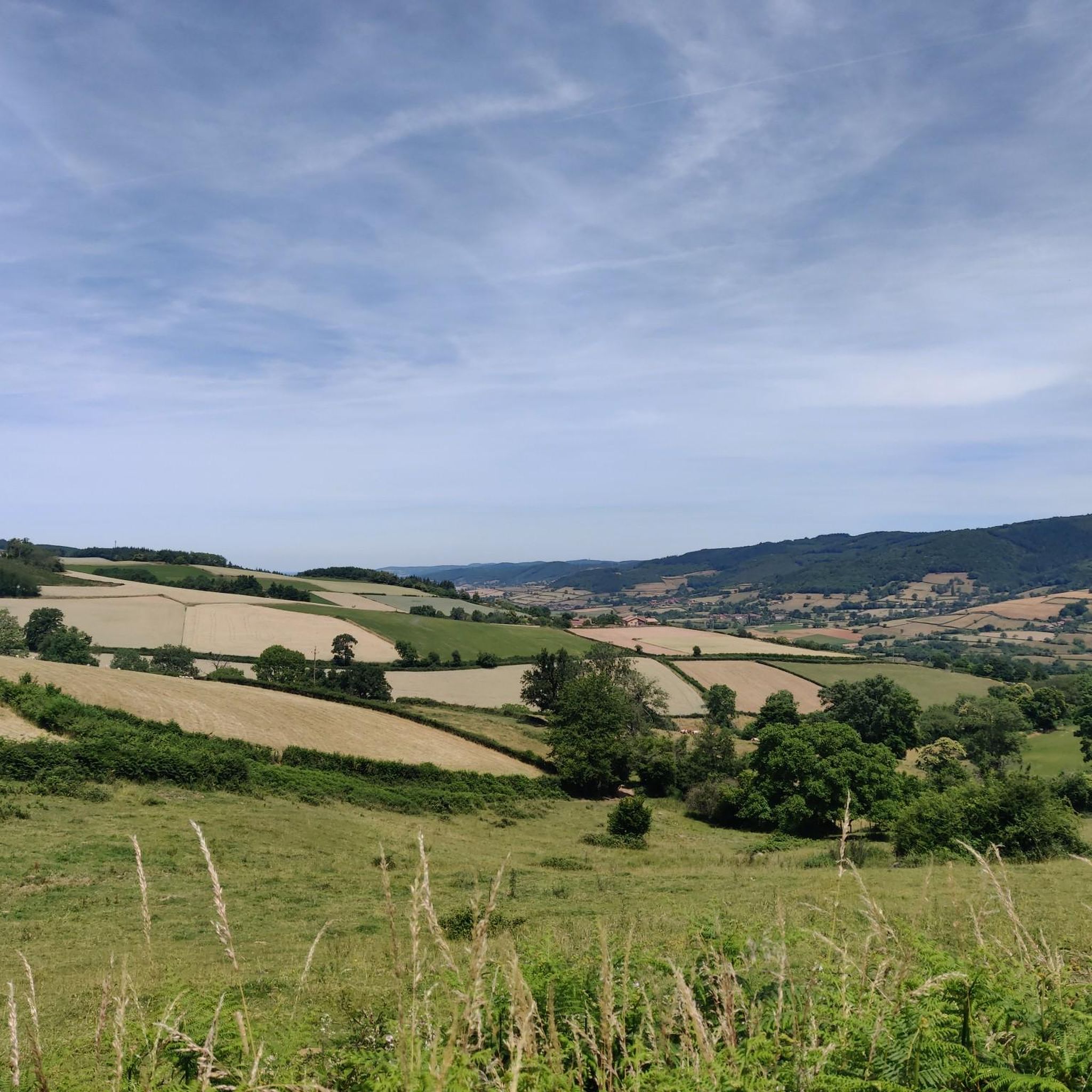
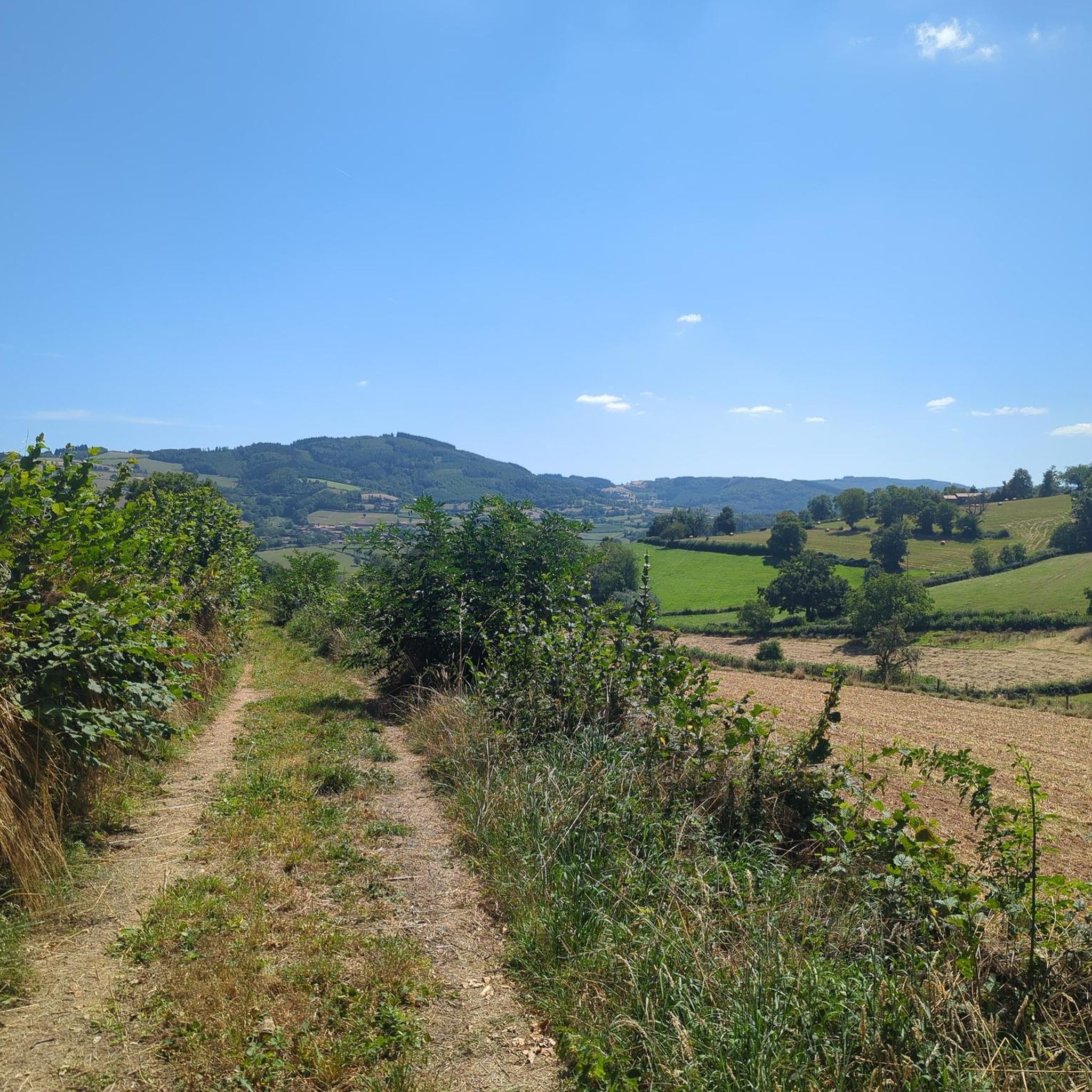
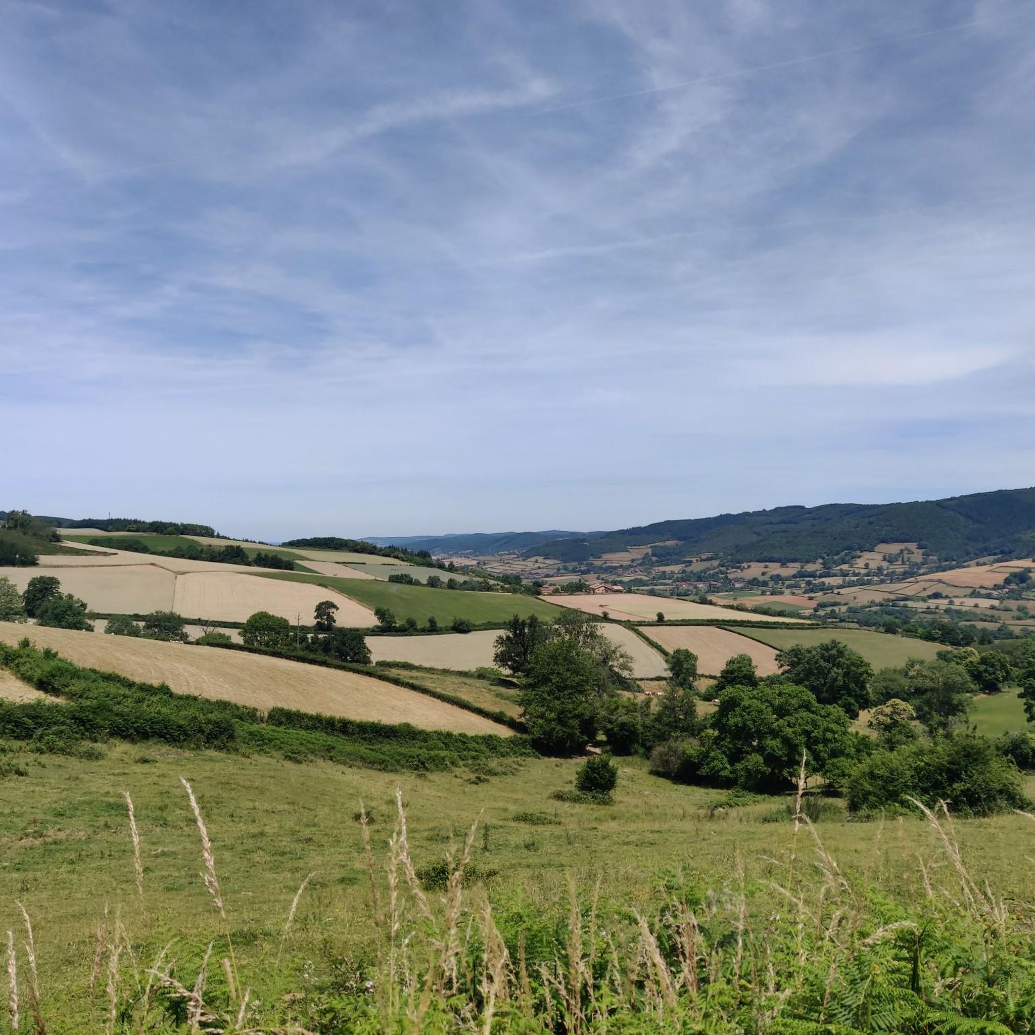
Jogging around Saint-Léger-Sous-La-Bussière offers a variety of routes through a landscape characterized by rolling hills and forested areas. The region features moderate to significant elevation changes, with altitudes ranging from 300 to 550 meters, providing varied challenges for runners. Many running routes traverse natural terrain, including paths around local lakes and through the Montagne de Saint-Cyr area. The Grosne River valley also provides flatter sections for easier jogs.
Best jogging routes around Saint-Léger-Sous-La-Bussière
- The most popular jogging route is Montagne…
Last updated: July 1, 2026
20
runners
11.0km
01:17
280m
280m
Moderate run. Good fitness required. Mostly paved surfaces. Suitable for all skill levels.
12
runners
30.2km
03:46
950m
950m
Hard run. Very good fitness required. Mostly paved surfaces. Suitable for all skill levels.

Sign up for free
6
runners
16.6km
02:07
520m
510m
Hard run. Very good fitness required. Mostly paved surfaces. Suitable for all skill levels.
5
runners
18.1km
02:12
470m
460m
Hard run. Very good fitness required. Mostly paved surfaces. Suitable for all skill levels.
4
runners
15.3km
01:49
370m
370m
Hard run. Very good fitness required. Mostly paved surfaces. Suitable for all skill levels.
Get access to more routes and recommendations from other explorers.
Sign up for free
Already have an account?
Our route recommendations are based on thousands of hikes, rides, and runs completed by other people on komoot.
Start today with a free account
Your next adventure awaits.
Login or Signup
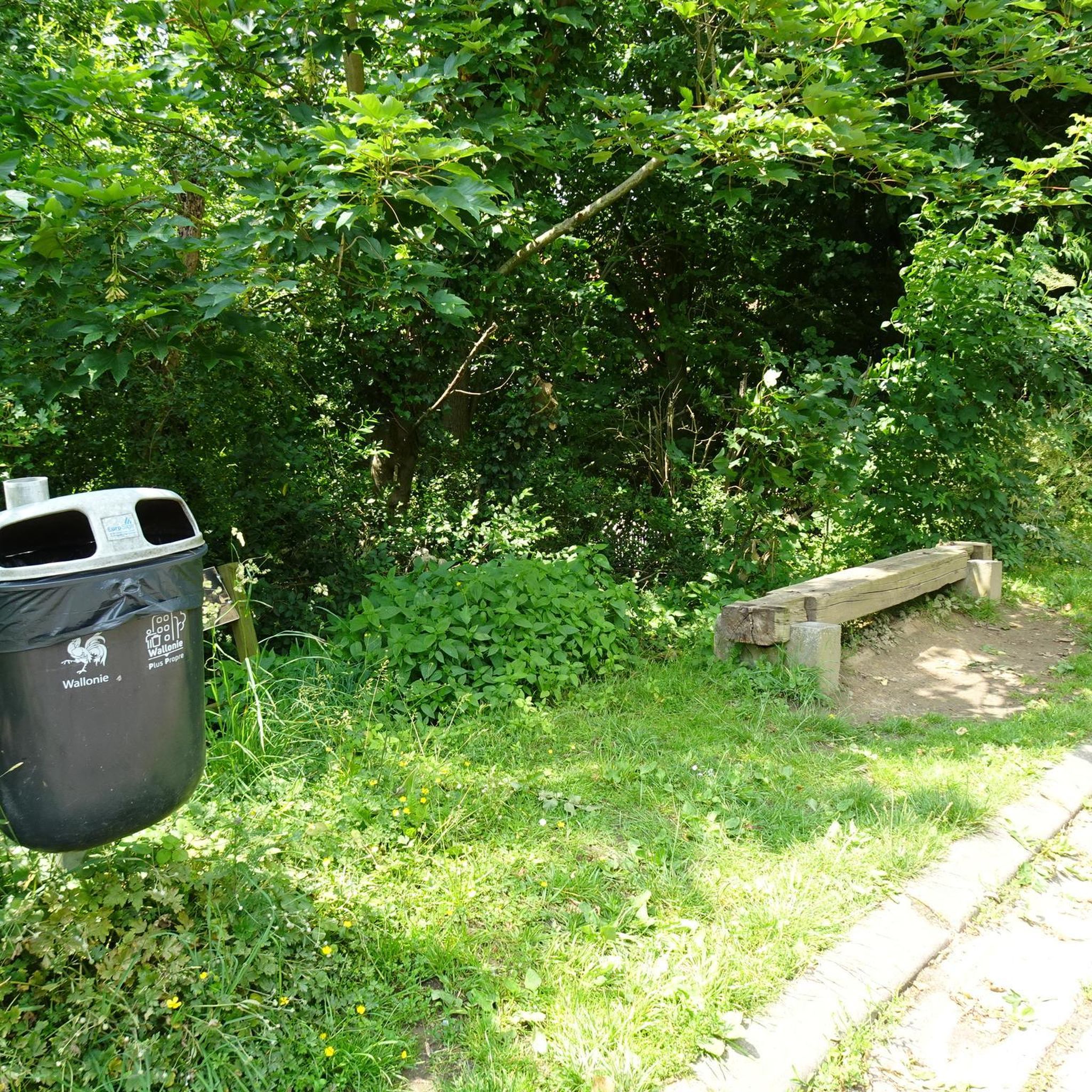
Tips from the Community

The lake is located in the Doubs department in the French region of Bourgogne-Franche-Comté at an altitude of around 850 meters. After Lac du Bourget and Lac d'Annecy, it is the third largest natural lake in France. It is a very popular lake for swimming in the summer and offers opportunities for kayaking, windsurfing, and stand-up paddling. There is also a popular hiking trail around the entire lake, approximately 20 kilometers long.
1
0

Beautiful church of Tramayes
0
0
Nice view over Serrières near the mère boitier signal
0
0

very beautiful church
0
0

Beautifully located lake with a great place to stop for a break...
2
0

Wonderful stage stop on my Camino https://huettemann.eu/de/2023/10/von-cluny-an-die-loire-berndscamino/
1
1

Frequently Asked Questions
How many running routes are available around Saint-Léger-Sous-La-Bussière?
There are over 90 running routes documented around Saint-Léger-Sous-La-Bussière on komoot, offering a wide variety of options for different fitness levels and preferences.
What kind of terrain can I expect on running trails in this region?
The region is characterized by rolling hills and forested areas, so you can expect varied terrain with moderate to significant elevation changes. Many routes traverse natural paths, including trails around local lakes and through the Montagne de Saint-Cyr area.
Are there running routes suitable for beginners in Saint-Léger-Sous-La-Bussière?
Yes, Saint-Léger-Sous-La-Bussière offers a few easy running routes perfect for beginners or those looking for a less strenuous run. These routes typically feature gentler inclines and shorter distances.
What about more challenging running trails for experienced runners?
For experienced runners seeking a challenge, there are numerous difficult trails available. Over 50 routes are classified as difficult, featuring significant elevation gains and longer distances, such as the Montagne de Saint-Cyr Loop, which covers 15.6 km with over 500 meters of ascent.
Are there any circular running routes in the area?
Yes, many of the running routes in Saint-Léger-Sous-La-Bussière are circular, allowing you to start and finish at the same point. A popular example is the Lake Saint-Point – Tramayes loop from Tramayes, offering scenic views and varied terrain.
Is Saint-Léger-Sous-La-Bussière a good place for long-distance running?
Absolutely. The region provides excellent opportunities for long-distance running, with several routes exceeding 15 km. For instance, the Montagne Saint-Cyr loop from Matour is a challenging 30.1 km trail through hilly, forested landscapes.
What scenic views or landmarks can I expect to see while running?
Runners can enjoy scenic views of rolling hills, dense forests, and tranquil lakes. You might also pass by notable mountain passes like Col de la Grange du Bois or Col de la Sibérie, offering panoramic vistas.
Are there any interesting places to explore near the running routes?
Beyond the trails, you can explore charming local villages like Tramayes or visit historical sites such as the Lamartine House, adding cultural interest to your running trip.
Are the running trails around Saint-Léger-Sous-La-Bussière dog-friendly?
Many natural trails in the region are suitable for running with dogs, provided they are kept under control. It's always advisable to check local regulations or specific route details for any restrictions, especially in protected areas.
Are there family-friendly running options in the region?
While the region is known for its hills, there are easier, shorter routes that can be enjoyed by families. Look for trails with less elevation gain and well-maintained paths, often found around the local lakes.
What do other runners say about the trails in Saint-Léger-Sous-La-Bussière?
The running routes in Saint-Léger-Sous-La-Bussière are highly rated by the komoot community, with an average score of 4.2 stars from over 10 reviews. Runners often praise the varied terrain, beautiful forest sections, and the challenge provided by the region's hills.
When is the best time of year to go running in Saint-Léger-Sous-La-Bussière?
Spring and autumn generally offer the most pleasant conditions for running, with milder temperatures and beautiful seasonal foliage. Summer can be warm, so early morning or late afternoon runs are recommended. Winter running is possible, but some trails might be muddy or icy.
Can I find running routes with parking facilities?
Yes, many popular running routes and trailheads in the Saint-Léger-Sous-La-Bussière area offer designated parking. It's common to find parking available near village centers or at the start of well-known trails, making access convenient for runners.
Most popular routes around Saint-Léger-Sous-La-Bussière
Most popular attractions around Saint-Léger-Sous-La-Bussière

Get inspired with the komoot mobile app


Explore more
Browse the best Running Trails & Routes in other regions.
