The best MTB trails around Saint-Léger-Sous-La-Bussière
4.1
(41)
205
riders
34
rides
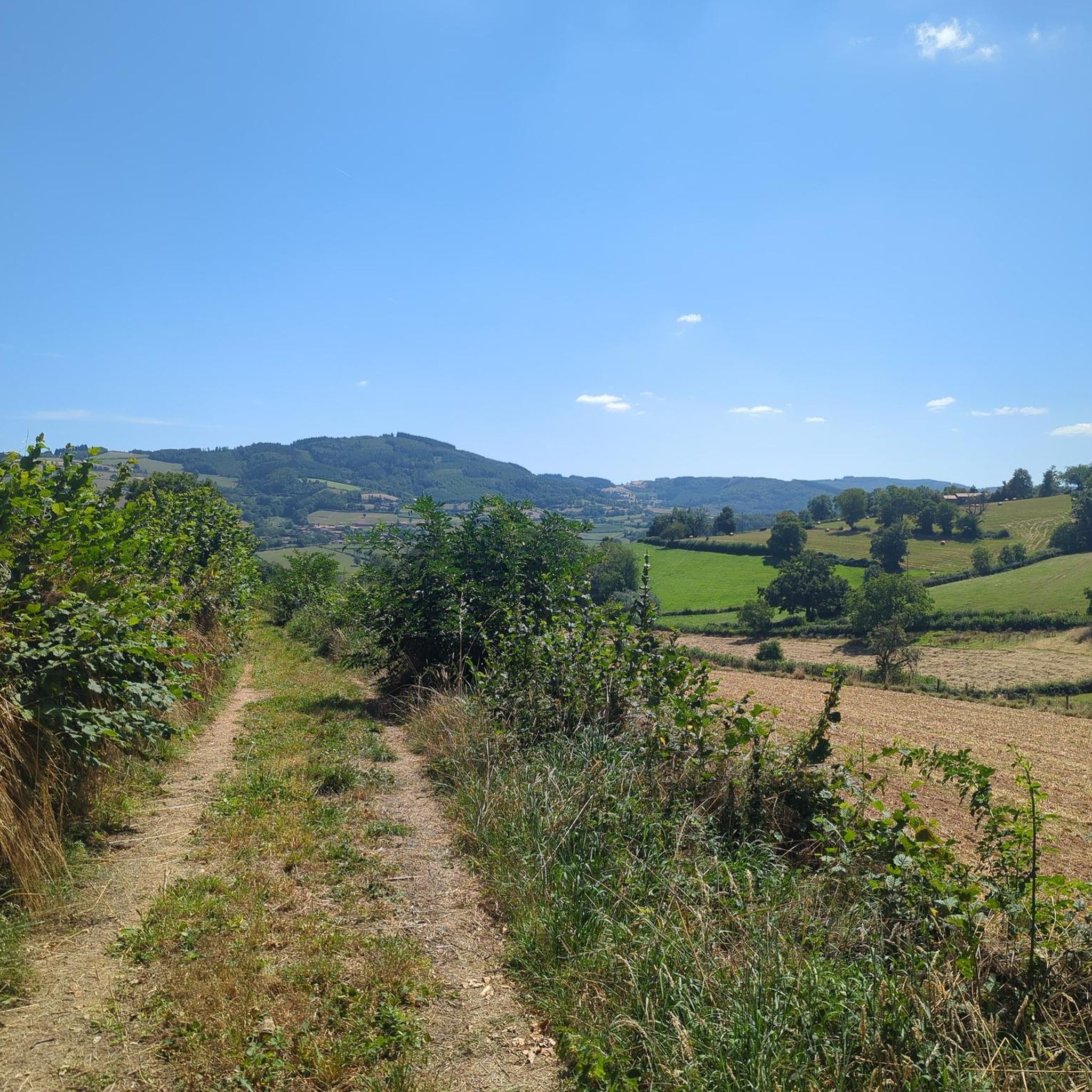
Mountain biking around Saint-Léger-Sous-La-Bussière offers varied terrain with altitudes ranging from 300 to 550 meters, providing a mix of hills and valleys. The area features extensive forests, covering over 100 hectares, which offer shaded trails and natural surroundings. The Grosne River flows through the valley, contributing to the scenic beauty of the region. This diverse landscape supports dynamic routes with both ascents and descents.
Best mountain bike trails around Saint-Léger-Sous-La-Bussière
- The most popular mountain bike trail is The Châtelard viaduct…
Last updated: July 1, 2026
4.5
(8)
31
riders
40.0km
04:01
1,150m
1,150m
Hard mountain bike ride. Very good fitness required. Suitable for all skill levels.
4.0
(1)
5
riders
49.1km
04:11
920m
920m
Hard mountain bike ride. Very good fitness required. Suitable for all skill levels.

Sign up for free
5.0
(3)
5
riders
40.4km
03:52
1,040m
1,040m
Hard mountain bike ride. Very good fitness required. Suitable for all skill levels.
4
riders
32.3km
03:12
920m
920m
Hard mountain bike ride. Very good fitness required. Suitable for all skill levels.
4
riders
27.8km
02:04
600m
600m
Moderate mountain bike ride. Good fitness required. Suitable for all skill levels.
Get access to more routes and recommendations from other explorers.
Sign up for free
Already have an account?
Our route recommendations are based on thousands of hikes, rides, and runs completed by other people on komoot.
Start today with a free account
Your next adventure awaits.
Login or Signup
Tips from the Community

Imposing historic viaduct of a former railway line, built in 1909. The structure has a height of 27 meters and spans the Monsols valley. Today it is a popular destination for hiking and cycling tours.
0
0
Mont Saint-Cyr is located in southern Burgundy (Département Saône-et-Loire) in the municipality of Montmelard and, at 771 meters, is the highest point in the Mâconnais mountains. From the summit, there is a wide panoramic view of the surrounding landscapes of Charolais, Brionnais, and Clunisois. In very clear weather, the view to the east even extends to Mont Blanc in the Alps. On the mountain are the historical remains of a 10th-century monastery that was destroyed during the Huguenot Wars. There is a picnic area in the forest, as well as orientation panels that are helpful in identifying the surrounding peaks and valleys.
0
0
Mont Saint-Cyr is located in southern Burgundy (Saône-et-Loire department) in the municipality of Montmelard and, at 771 meters, is the highest point of the Mâconnais mountains. From the summit, there is a wide panoramic view of the surrounding landscapes of Charolais, Brionnais, and Clunisois. In very clear weather, the view extends eastwards to Mont Blanc in the Alps. On the mountain are the historical remains of a 10th-century monastery, which was destroyed during the Huguenot Wars. There is a picnic area in the forest as well as orientation panels that are helpful in identifying the surrounding peaks and valleys.
0
0
The lake is located in the Doubs department in the French region of Bourgogne-Franche-Comté at an altitude of around 850 meters. After Lac du Bourget and Lac d'Annecy, it is the third largest natural lake in France. It is a very popular lake for swimming in the summer and offers opportunities for kayaking, windsurfing, and stand-up paddling. There is also a popular hiking trail around the entire lake, approximately 20 kilometers long.
1
0

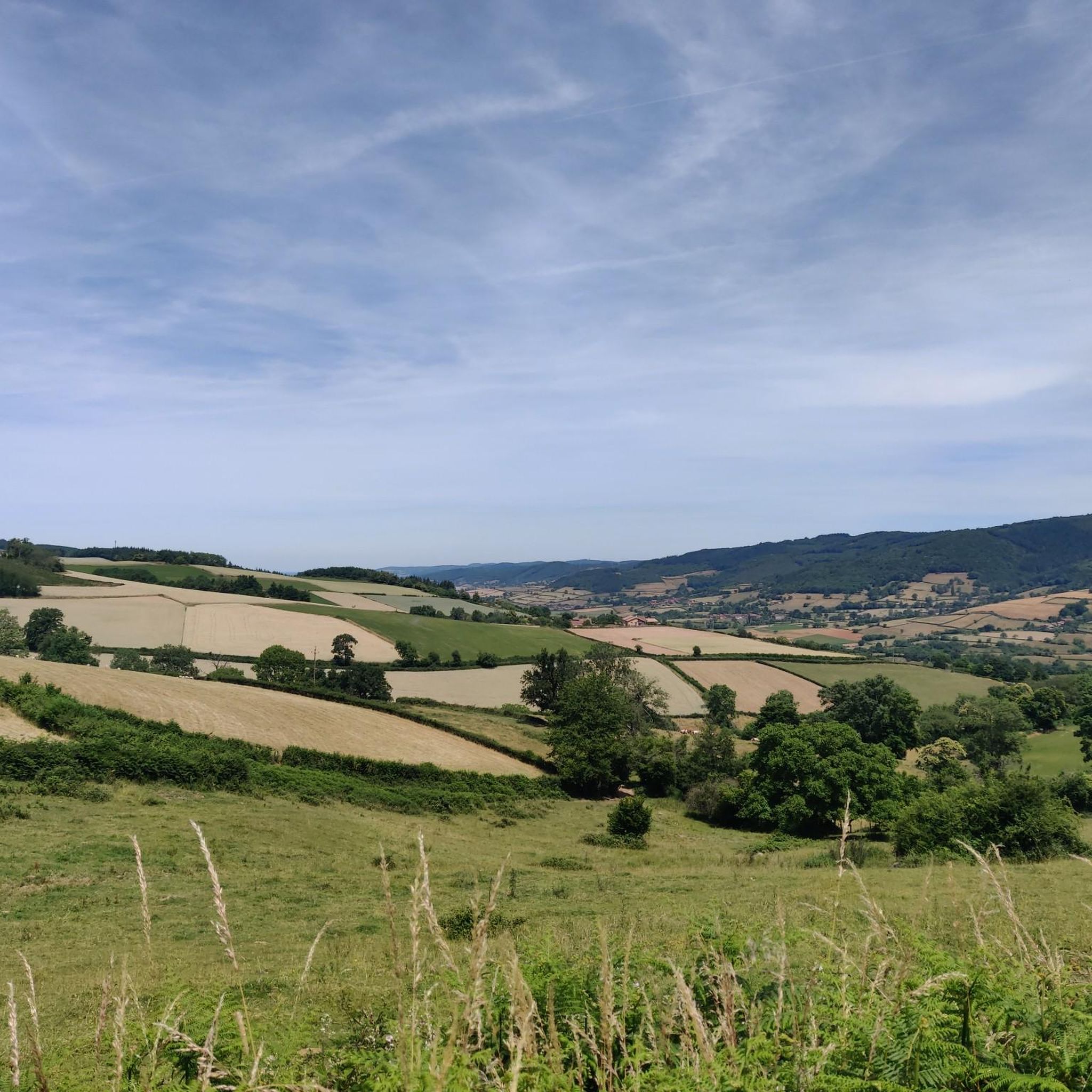
The roof of the Rhône, beautiful view of the upper Beaujolais
1
0
This old railway line is magnificent, all this work for having only been used for a few years.
1
0
cabin in the woods, shame it's not maintained
1
0

Frequently Asked Questions
What kind of terrain can I expect on mountain bike trails around Saint-Léger-Sous-La-Bussière?
The region offers a diverse topography with altitudes ranging from 300 to 550 meters, providing a mix of hills and valleys. You'll encounter dynamic routes with both ascents and descents, often traversing extensive forests that cover over 100 hectares. The Grosne River also flows through the valley, adding to the scenic beauty.
Are there mountain bike trails suitable for beginners in Saint-Léger-Sous-La-Bussière?
Yes, while the area is known for its varied and often challenging terrain, there are at least 2 easy mountain bike routes available. These trails offer a gentler introduction to the region's beautiful landscapes.
Where can I find challenging mountain bike routes around Saint-Léger-Sous-La-Bussière?
For experienced riders seeking a challenge, there are 13 difficult mountain bike routes in the area. One such route is the The Châtelard viaduct – Mount Saint-Rigaud loop from Saint-Pierre-le-Vieux, which is 40.1 km long with significant elevation changes. Another option is the Lake Saint-Point – Tramayes loop from Tramayes, a 49.1 km path traversing scenic landscapes.
What natural features or scenic views can I expect to see on the trails?
You can look forward to riding through extensive forests, enjoying views of rolling hills and valleys, and potentially following paths alongside the Grosne River. Some routes, like the Lake Saint-Point – Tramayes loop from Tramayes, offer scenic views of Lake Saint-Point.
Are there any historical landmarks or attractions along the mountain bike routes?
Yes, the region is rich in history. The local 'Circuit de la Bussière' passes by vestiges of a medieval castle's keep, a 12th-century church with a Romanesque bell tower, and a historic water mill. You might also encounter other points of interest such as the settlement of Tramayes or Lamartine House.
What do other mountain bikers enjoy the most about mountain biking in Saint-Léger-Sous-La-Bussière?
The area is highly rated by the komoot community, with an average score of 4.0 stars from over 30 reviews. Mountain bikers often praise the varied terrain, the extensive forests, and the rolling hills that define the routes, offering a diverse and engaging experience.
Are there any mountain bike routes that pass by castles or other notable structures?
Yes, for example, the Montrouant Castle – View of Matour loop from Matour is a 40.6 km trail that leads through forested areas and past historical landmarks, including Montrouant Castle. Another route, the Étang de Pézanin – Château d'Audour loop from Matour, passes by Château d'Audour.
How long are the mountain bike trails in this area typically?
The mountain bike trails vary significantly in length. For instance, the Mount St. Cyr – Montagne Saint-Cyr loop from Matour is a moderate 27.8 km route, while the Lake Saint-Point – Tramayes loop from Tramayes is a more extensive 49.1 km. You'll find options ranging from shorter rides to longer, more demanding excursions.
Are there any mountain passes I can explore by bike?
Yes, the region features several mountain passes that can be incorporated into your rides. Notable passes include Col de la Grange du Bois and Col de la Sibérie, 638 m, offering additional climbs and scenic viewpoints.
What is the best time of year for mountain biking in Saint-Léger-Sous-La-Bussière?
The varied terrain and extensive forests make the area enjoyable for mountain biking across multiple seasons. Spring and autumn generally offer pleasant temperatures and beautiful foliage. Summer provides shaded trails within the forests, while winter riding is possible, though conditions may vary.
Are there any dedicated mountain biking circuits in the area?
Yes, the 'Circuit de la Bussière' is explicitly marked for VTT (mountain biking) alongside equestrian and pedestrian use. This circuit is described as a difficult 10.6 km trail with an elevation change of 317 meters, offering a good challenge for mountain bikers. You can find more information on this circuit via Burgundy Tourism.
How many mountain bike trails are available in total around Saint-Léger-Sous-La-Bussière?
There are over 35 mountain bike trails available for exploration around Saint-Léger-Sous-La-Bussière, offering a wide range of options for different skill levels and preferences.
Most popular routes around Saint-Léger-Sous-La-Bussière
Most popular attractions around Saint-Léger-Sous-La-Bussière

Get inspired with the komoot mobile app


Explore more
Browse the best MTB trails in other regions.
