The best cycling routes around Argillières
4.5
(13)
73
riders
13
rides
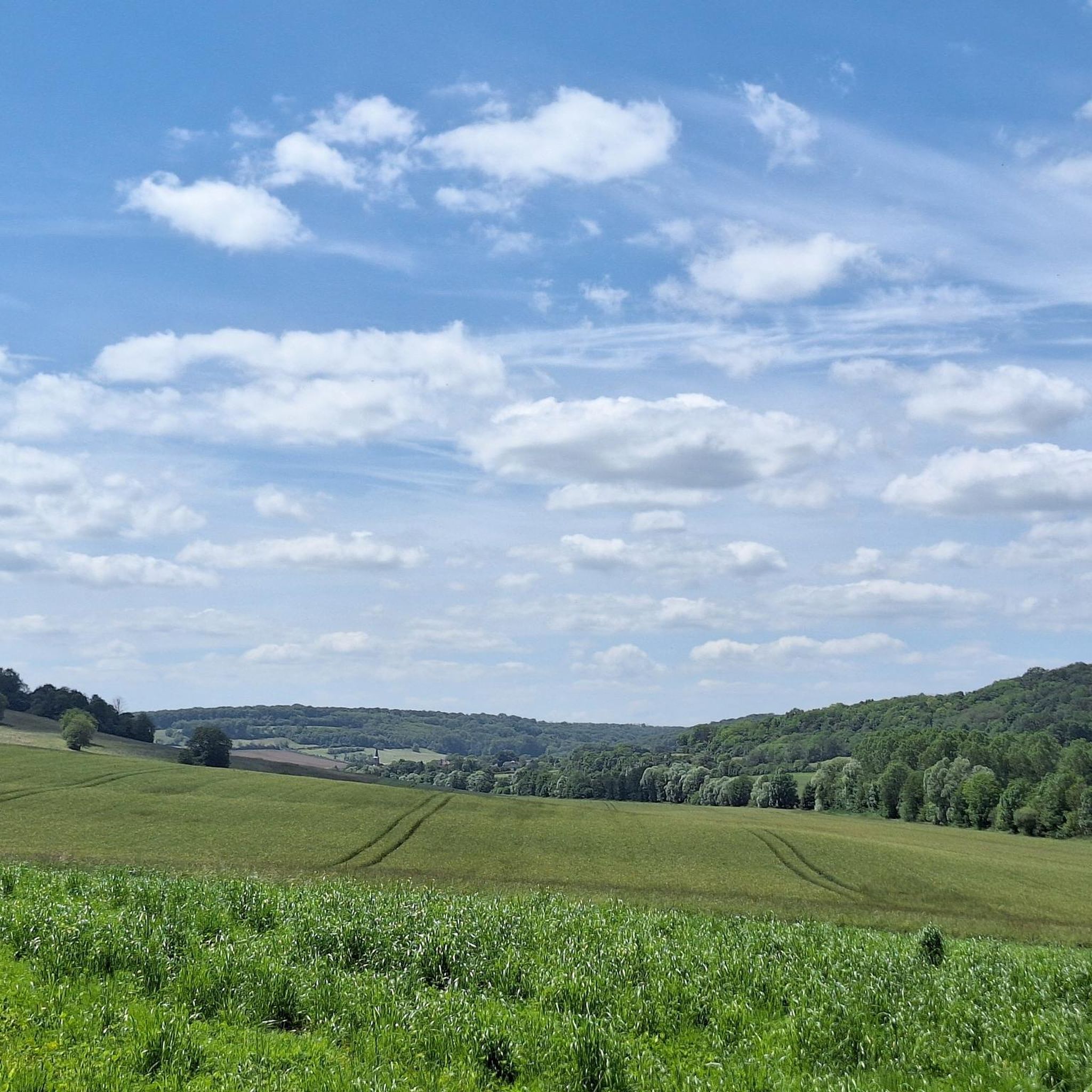
Touring cycling around Argillières, a commune in the Haute-Saône department, offers routes through varied terrain at the end of the Langres plateau. The landscape features rolling hills, small streams, and views over the Saône valley from points like Monteaubert hill. The wider Haute-Saône region provides diverse landscapes, including fertile plains and river valleys, suitable for cycling. This area is characterized by its network of signposted cycling routes and integration into larger European cycling networks.
Best touring cycling routes around Argillières
…Last updated: July 4, 2026
4.7
(3)
9
riders
46.1km
03:02
510m
510m
Hard bike ride. Very good fitness required. Mostly paved surfaces. Suitable for all skill levels.
7
riders
42.7km
02:41
430m
430m
Moderate bike ride. Good fitness required. Mostly paved surfaces. Suitable for all skill levels.

Sign up for free
5.0
(1)
2
riders
39.1km
02:21
240m
240m
Moderate bike ride. Good fitness required. Mostly paved surfaces. Suitable for all skill levels.
5.0
(2)
3
riders
35.9km
02:17
330m
330m
Moderate bike ride. Good fitness required. Mostly paved surfaces. Suitable for all skill levels.
4.0
(2)
2
riders
47.7km
02:52
380m
380m
Moderate bike ride. Good fitness required. Mostly paved surfaces. Suitable for all skill levels.
Get access to more routes and recommendations from other explorers.
Sign up for free
Already have an account?
Our route recommendations are based on thousands of hikes, rides, and runs completed by other people on komoot.
Start today with a free account
Your next adventure awaits.
Login or Signup

Tips from the Community

The climb to the castle from the village is a bit steep but worth it
0
0
The Chateau de Ray-sur-Saône is a must-see in the region. Magnificent view from the park over the Saône.
2
0

The washhouse with the oval washbasin was built in 1844.
0
0

The Port de Savoyeux is a marina in Savoyeux, a commune in Haute-Saône, France. It is located on the Saône, a river that flows through Burgundy and Franche-Comté. It is a popular spot for water sports, fishing and boat trips. It is also the gateway to the Tunnel de Savoyeux, an underground canal that diverts the Saône between two of its meanders
10
4
The Tunnel de Savoyeux is an underground canal that diverts the Saône between two of its meanders at Savoyeux, in the Haute-Saône, in France. It was completed in 1843 and made it possible to sail the Little Saône to the Saône. It is 642.5 metres long and 6.55 metres wide. It has no path for towing the boats, so the boatmen had to pull the boats with chains attached to the walls of the tunnel. It also has a lock at the end of the tunnel
10
4
This highlight is located on the harbour side!
10
4
The highlight was taken below, in the extension of the canal.
10
4
The highlight here is taken from the resting point above the exit. There is also a table here.
11
4
Frequently Asked Questions
How many touring cycling routes are available around Argillières?
There are 10 touring cycling routes available around Argillières, offering a variety of experiences for cyclists. These routes are highly rated by the komoot community.
What kind of terrain can I expect on touring cycling routes near Argillières?
The terrain around Argillières is characterized by rolling hills, river valleys, and agricultural plains, situated at the edge of the Langres plateau. You can expect varied landscapes with some significant elevation gains on more difficult routes, and picturesque scenery with generally low levels of traffic.
Are there touring cycling routes suitable for different skill levels?
Yes, while many routes are classified as moderate or difficult, the wider Haute-Saône region, which Argillières is part of, offers a diverse cycling infrastructure. This includes flatter greenways like sections of the Voie Bleue Moselle-Saône à vélo for more leisurely rides, alongside challenging hilly sections for experienced cyclists.
What natural features or landmarks can I see along the touring cycling routes?
Along the routes, you can discover unique natural features. Within Argillières itself, you might encounter the intriguing Rock of the Druids or the path leading to the Witch's Trough. From higher points like Monteaubert, you can enjoy scenic views over the Saône valley. The region is also traversed by small streams, including the Vanneau.
Are there any historical sites or cultural attractions to visit near the cycling routes?
Yes, Argillières and its surroundings offer historical points of interest. You can find the Château de Champlitte, and the village of Argillières itself boasts an 18th-century church with distinctive blue glazed tiles. Other nearby highlights include the Saint-Hubert Church in Delain and the Saint Christopher Church.
Are there any circular touring cycling routes available?
Yes, many of the touring cycling routes around Argillières are designed as loops. For example, the challenging Henri IV Gate – Porte des Terreaux loop from Champlitte covers 102 km, and the longer Porte des Terreaux – Pontailler-sur-Saône loop from Champlitte is 183 km, both offering extensive circular tours through varied landscapes.
When is the best time of year to go touring cycling in Argillières?
The region is generally pleasant for cycling during spring, summer, and early autumn. These seasons offer favorable weather conditions to enjoy the picturesque countryside and low-traffic roads. Always check local weather forecasts before heading out.
Are there family-friendly touring cycling options in the area?
While some routes around Argillières are more challenging, the broader Haute-Saône department is known for its extensive cycling network, including greenways with low gradients. The Voie Bleue Moselle-Saône à vélo, for instance, is ideal for relaxed touring and family cycling, and is accessible from the Saône valley, which is visible from Argillières's highest points.
What do other touring cyclists say about the routes in Argillières?
The touring cycling routes around Argillières are highly rated by the komoot community, with an average score of 4.5 stars from over 10 reviews. Cyclists often praise the varied terrain, the scenic views over the Saône valley, and the opportunity to explore the tranquil, unspoilt landscapes of the Haute-Saône.
Are there options for parking near the touring cycling trailheads?
As Argillières is a rural commune, parking is generally available in the village and near starting points of routes in surrounding towns like Champlitte or Bourguignon-lès-Morey. It's advisable to check specific starting points for dedicated parking facilities.
Can I access the touring cycling routes by public transport?
Public transport options directly to Argillières might be limited due to its rural location. However, the Haute-Saône department has a network of 21 signposted cycle routes and greenways, some of which may be accessible via regional transport hubs. For detailed information on public transport connections, it's best to consult local transport services.
Are there places to eat or drink along the touring cycling routes?
While Argillières itself is a small commune, the routes often pass through or near other villages and towns in the Haute-Saône region. These larger settlements, such as Champlitte, typically offer cafes, restaurants, and shops where you can refuel during your ride.
Most popular attractions around Argillières

Get inspired with the komoot mobile app


Explore more
Browse the best Cycling routes in other regions.
