The best road cycling routes around Argillières
3.9
(11)
109
riders
36
rides
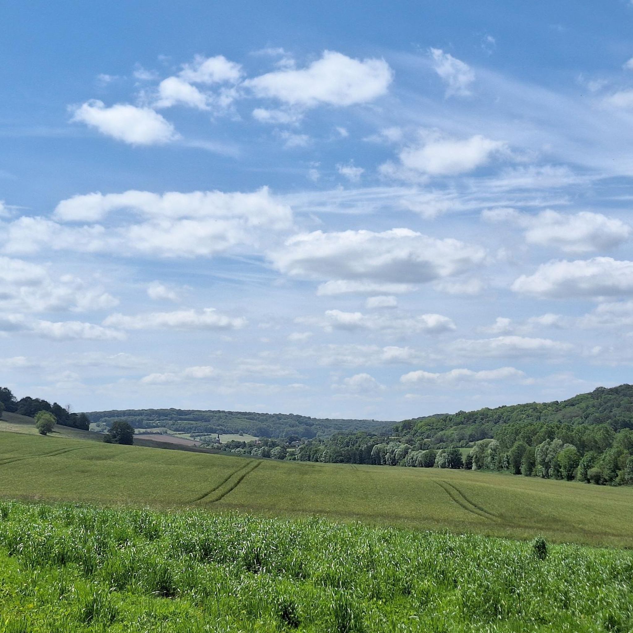
Road cycling routes around Argillières traverse a landscape characterized by rural scenery and rolling hills, offering mostly paved surfaces suitable for road bikes. The region features moderate elevation gains, providing varied terrain without extreme climbs. Cyclists can expect routes that wind through agricultural areas and past small villages, with some paths potentially following river valleys.
Best road cycling routes around Argillières
- The most popular road cycling route is Pertes de la Rigotte – Ideal little road loop from Bourguignon-lès-Morey, an 19.0 miles (30.6 km) trail that takes 1 hour 26 minutes to complete. This moderate route features a total ascent of 348 meters through varied rural landscapes.
- Another top favourite among local road cyclists is Mount Olivotte loop from Bourguignon-lès-Morey, a moderate 21.0 miles (33.9 km) path. This route offers a total ascent of 349 meters, winding through the local countryside.
- Local road cyclists also love the Roadbike loop from Roche-et-Raucourt, a 28.1 miles (45.2 km) trail leading through rural areas with a total ascent of 408 meters, often completed in about 1 hour 58 minutes.
- Road cycling around Argillières is defined by rural landscapes, rolling hills, and paved roads. The network offers options for easy and moderate ability levels, catering to various cycling preferences.
- The routes in Argillières are highly rated by the komoot community with an average score of 4.25 stars from a few reviews. More than 100 road cyclists have used komoot to explore Argillières's varied terrain.
Last updated: July 4, 2026
5.0
(1)
9
riders
32.6km
01:32
320m
320m
Moderate road ride. Good fitness required. Mostly well-paved surfaces and easy to ride.
5.0
(1)
8
riders
30.6km
01:27
350m
350m
Moderate road ride. Good fitness required. Mostly well-paved surfaces and easy to ride.

Sign up for free
7
riders
49.6km
02:07
390m
390m
Moderate road ride. Good fitness required. Some segments of this route may be unpaved and difficult to ride.
5
riders
33.9km
01:35
350m
350m
Moderate road ride. Good fitness required. Some segments of this route may be unpaved and difficult to ride.
5
riders
36.1km
01:39
320m
320m
Moderate road ride. Good fitness required. Mostly well-paved surfaces and easy to ride.
Get access to more routes and recommendations from other explorers.
Sign up for free
Already have an account?
Our route recommendations are based on thousands of hikes, rides, and runs completed by other people on komoot.
Start today with a free account
Your next adventure awaits.
Login or Signup


Tips from the Community

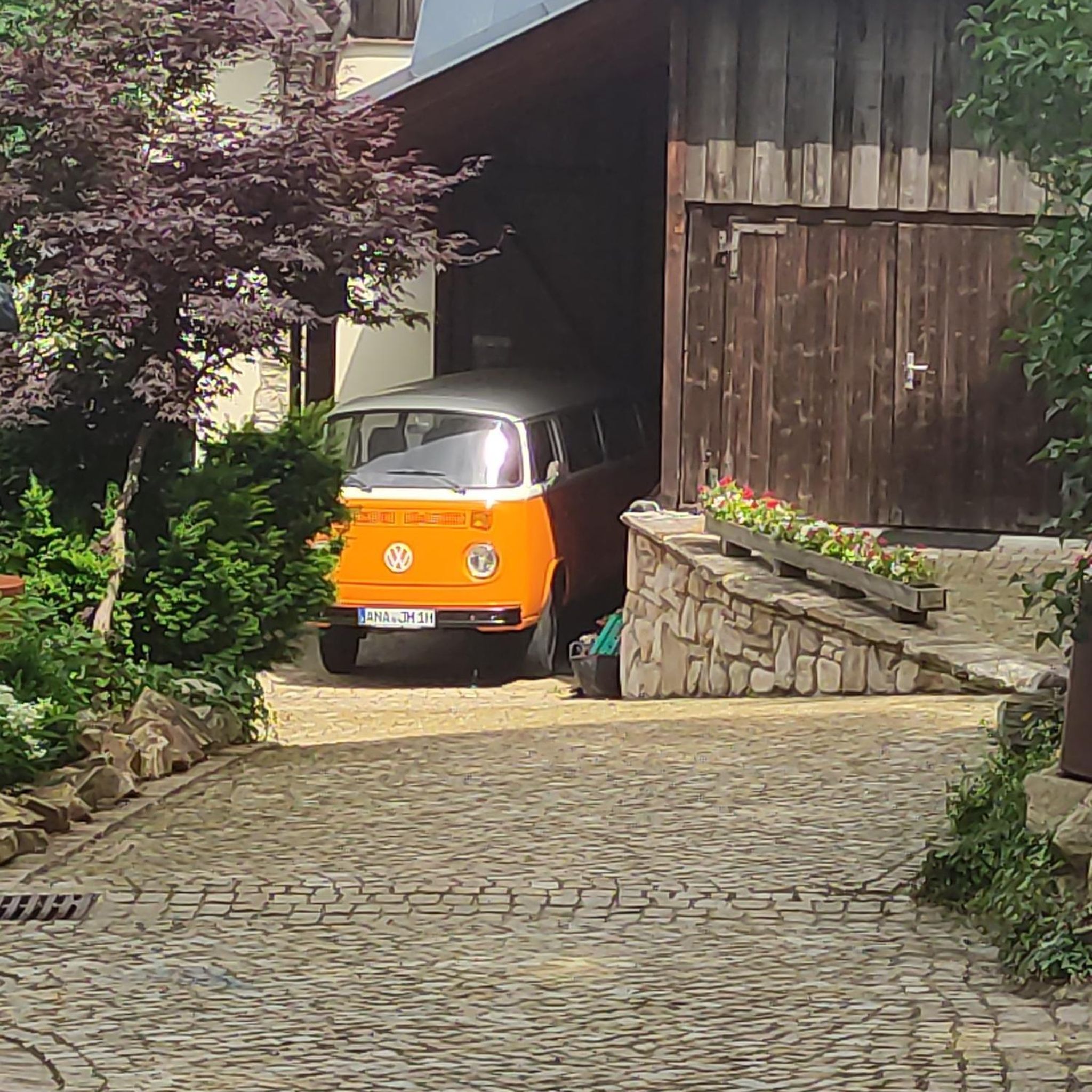
Here the river disappears Rigotte in the mountain, depending on the water level, she can still make it to a cave opening in a rock wall, but the stream bed is often dry a few hundred meters before that. For a few kilometers you don't see any watercourse, only at Fouvent le Bas a river appears again and flows a few kilometers further with the name Vannon before it flows into the Saone. From the junction you continue on a dirt road, you have to walk the last few meters to the seepage point, the path is less suitable for racing bike shoes, especially after rain.
0
0
A very special gem between Villers-Vaudey and Morey. Currently in its best condition (09/2018), this tiny little road leads through a shallow valley through woods and past pastures - outrageously idyllic.
6
0
Frequently Asked Questions
What is the typical terrain and difficulty for road cycling around Argillières?
Road cycling routes around Argillières are characterized by rural scenery and rolling hills, with mostly paved surfaces suitable for road bikes. The region features moderate elevation gains, providing varied terrain without extreme climbs. You'll find a mix of easy and moderate routes, making it accessible for various skill levels. For example, the Pertes de la Rigotte – Ideal little road loop from Bourguignon-lès-Morey is a moderate route with 348 meters of ascent.
Are there options for beginners or less experienced road cyclists in Argillières?
Yes, Argillières offers several routes suitable for beginners or those seeking an easier ride. There are 5 easy routes available, which typically feature less elevation gain and shorter distances. The general character of the region, with its rolling hills and mostly paved roads, is quite welcoming for less experienced road cyclists.
How many road cycling routes are available in the Argillières region?
There are over 35 road cycling routes available in the Argillières region, catering to various preferences and skill levels. The majority of these are moderate, with a good selection of easier options as well.
What natural features can I expect to see while road cycling in Argillières?
While road cycling in Argillières, you can expect to traverse picturesque rural landscapes, including agricultural areas and charming small villages. Some paths may follow serene river valleys, offering a tranquil backdrop to your ride. The region's rolling hills provide gentle undulations rather than dramatic mountainous terrain.
Are there any historical or cultural landmarks to see along the road cycling routes?
Yes, while cycling around Argillières, you can incorporate visits to local landmarks. Notable attractions include the Delain, Saint-Hubert Church and the historic Château de Champlitte. These sites offer a glimpse into the region's heritage and can be interesting stops during your ride.
What do other road cyclists enjoy the most about road cycling in Argillières?
The road cycling experience in Argillières is highly rated by the komoot community, with an average score of 4.25 stars. Cyclists often praise the varied rural landscapes, the well-maintained paved roads, and the accessibility of routes for different abilities. Over 100 road cyclists have used komoot to explore the region's terrain.
Are there any long-distance road cycling routes in Argillières?
While Argillières is known for its varied terrain, it also offers longer routes for those seeking more endurance. For example, the Mount Olivotte loop from Savigny covers approximately 44.3 km with 460 meters of ascent, providing a substantial ride through the local countryside.
Are there any circular road cycling routes available?
Yes, many of the road cycling routes in Argillières are designed as loops, offering convenient circular journeys. Examples include the Mount Olivotte loop from Bourguignon-lès-Morey, a 33.9 km route, and the Roadbike loop from Roche-et-Raucourt, which is 45.2 km long.
What is the best time of year for road cycling in Argillières?
Based on similar regions, the climate in areas like Argillières is generally favorable for cycling year-round, with warm, dry summers and mild winters. Spring and autumn often provide the most comfortable temperatures for road cycling, avoiding the peak heat of summer while still offering pleasant conditions.
Is there parking available for road cyclists in Argillières?
While specific parking areas are not detailed for every route, the presence of small villages and rural starting points for many routes suggests that parking is generally available in or near these locations. It's advisable to check the starting points of individual routes for specific parking information.
Can I access road cycling routes in Argillières using public transport?
Information on specific public transport links directly to route starting points in Argillières is limited. Given the rural nature of the area, public transport options might be less frequent. It's recommended to plan your journey in advance and check local transport schedules if you intend to rely on public transport to reach the cycling routes.
Are there any particularly scenic routes for road cycling in Argillières?
Many routes in Argillières offer scenic views as they wind through rural landscapes, agricultural areas, and past charming villages. The region's rolling hills provide a pleasant backdrop. For a route that combines varied rural landscapes, consider the Savoyeux Tunnel – Savoyeux Tunnel loop from Fouvent-Saint-Andoche.
Most popular attractions around Argillières

Get inspired with the komoot mobile app


Explore more
Browse the best Road cycling routes in other regions.
