The best road cycling routes around Lournand
4.4
(102)
2,231
riders
262
rides
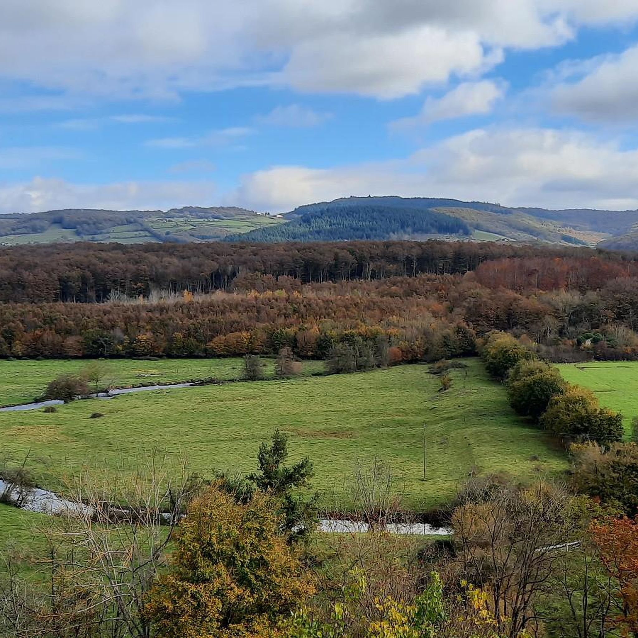
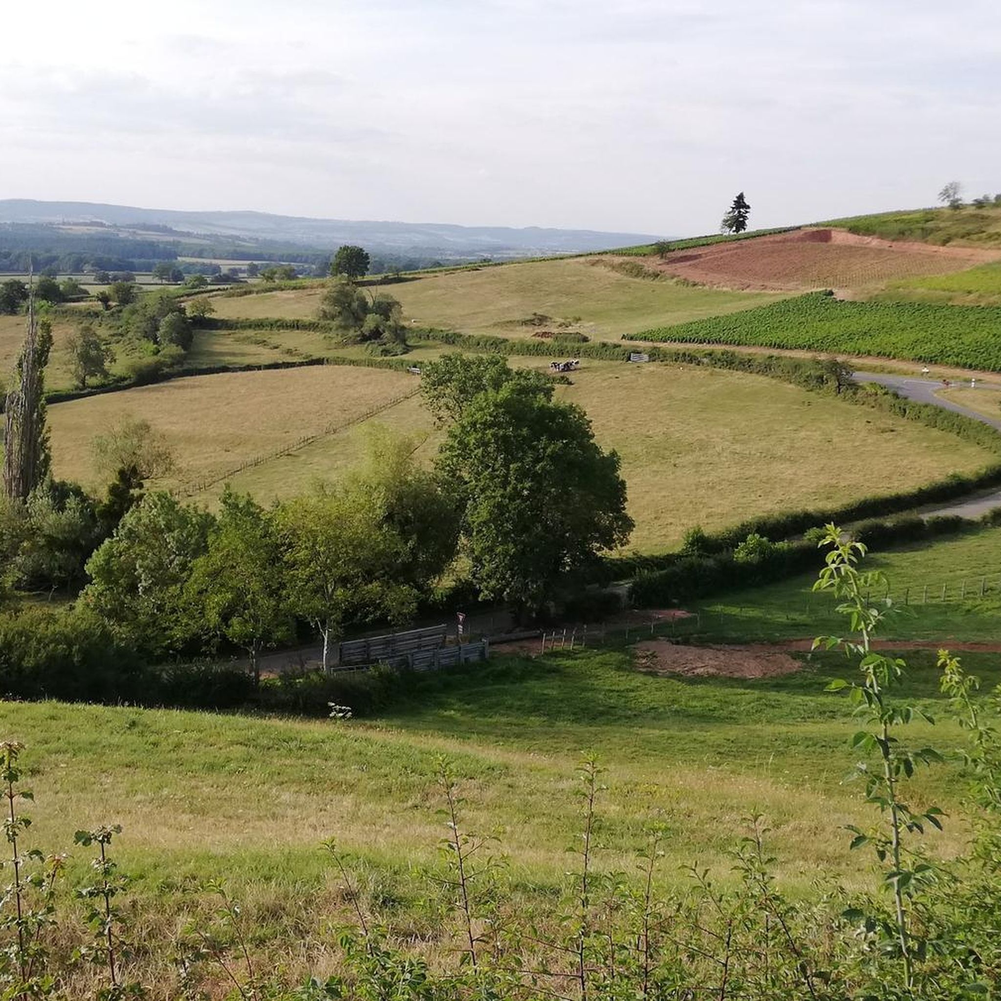
Road cycling routes around Lournand traverse a landscape characterized by rolling hills and extensive forests in the Burgundy-Franche-Comté region of France. The area features varied terrain, including routes that wind through the Mâcon vineyards, historically significant to the local economy. Cyclists can encounter natural features such as the Grosne river, which forms part of the commune's eastern border, and distant views of the Roche de Solutré. This region offers a network of roads suitable for road cycling, connecting historical villages…
Last updated: July 4, 2026
4.3
(4)
31
riders
35.1km
01:43
470m
470m
Moderate road ride. Good fitness required. Mostly well-paved surfaces and easy to ride.
12
riders
56.8km
03:11
1,060m
1,060m
Hard road ride. Very good fitness required. Mostly well-paved surfaces and easy to ride.

Sign up for free
3.8
(6)
217
riders
46.0km
02:08
410m
410m
Moderate road ride. Good fitness required. Mostly well-paved surfaces and easy to ride.
4.9
(11)
170
riders
98.4km
04:13
480m
480m
Moderate road ride. Good fitness required. Some segments of this route may be unpaved and difficult to ride.
4.9
(7)
82
riders
56.0km
02:43
750m
750m
Moderate road ride. Good fitness required. Mostly well-paved surfaces and easy to ride.
Get access to more routes and recommendations from other explorers.
Sign up for free
Already have an account?
Our route recommendations are based on thousands of hikes, rides, and runs completed by other people on komoot.
Start today with a free account
Your next adventure awaits.
Login or Signup

Tips from the Community

The Tour des Fromages is a preserved defensive tower from the 11th century, which originally belonged to the ramparts of the powerful Abbey of Cluny. In the Middle Ages, the structure was still called Tour des Fèves (Bean Tower), as supplies were stored there. It got its current, curious name in the 19th century because a merchant used the tower to dry her homemade cheeses. Today, the tower is a popular attraction. Visitors can climb the 120 steps to the top. From up there, you have a beautiful 360-degree panoramic view over the entire medieval monastic city and the surrounding Burgundy landscape. Access to the tower is directly through the local Cluny tourist office.
1
0
The station no longer serves trains. The historic site has been transformed into a vibrant leisure zone (Aire de loisirs de la gare). The building is located directly on the Voie Verte de Bourgogne du Sud, a well-known 77 km cycle path on a former railway line. Travelers will find a bicycle rental service for regular and electric bikes, a tool station for repairs, picnic tables, public restrooms, and a children's playground. It also serves as a starting point for excursions, for example to the nearby Château de Cormatin.
0
0
The Château de Saint-Point (also known as Château de Lamartine) in the Burgundy region originally dates from the 12th and 14th centuries. From 1820, it served as the residence for the famous French poet and politician Alphonse de Lamartine. Lamartine had the castle restored in the Anglo-Gothic style, which gives it its distinctive, romantic appearance with the round corner towers. It is a listed monument and can be visited as a museum.
1
0
The lake is located in the Doubs department in the French region of Bourgogne-Franche-Comté at an altitude of around 850 meters. After Lac du Bourget and Lac d'Annecy, it is the third largest natural lake in France. It is a very popular lake for swimming in the summer and offers opportunities for kayaking, windsurfing, and stand-up paddling. There is also a popular hiking trail around the entire lake, approximately 20 kilometers long.
1
0
Mont Grémoi is located in the Auvergne-Rhône-Alpes region. It is a hilly, rural area that is ideal for hiking.
0
0
The Col du Bois Clair is a 396-meter high French mountain pass in the Massif Central. It is located in the Bourgogne-Franche-Comté region in the Saône-et-Loire department and lies within the municipality of Sologny. The pass summit is crossed by the departmental road D17. Beneath the pass runs the Tunnel du Bois Clair, a former railway tunnel. At 1.6 kilometers long, it is the longest tunnel in France accessible to bicycles. Today it serves as part of the Voie Verte cycle path, but is closed from October to April to protect hibernating bats.
0
0
The Col des Enceints is a mountain pass in the French region of Bourgogne-Franche-Comté (Département Saône-et-Loire) with a summit elevation of 529 meters. The pass is located in the Mâconnais mountains (Monts du Mâconnais) near the municipality of Bourgvilain. It is a popular route, especially among cyclists and hikers: For cyclists: The ascent from Pierreclos extends over approximately 4.3 kilometers with an elevation difference of about 257 meters and an average gradient of just under 6% (up to 12% at its steepest). For hikers: A moderate, approximately 8.5-kilometer circular hiking trail from Bourgvilain leads over the pass, among other routes, passing through forests and past small hamlets.
1
0

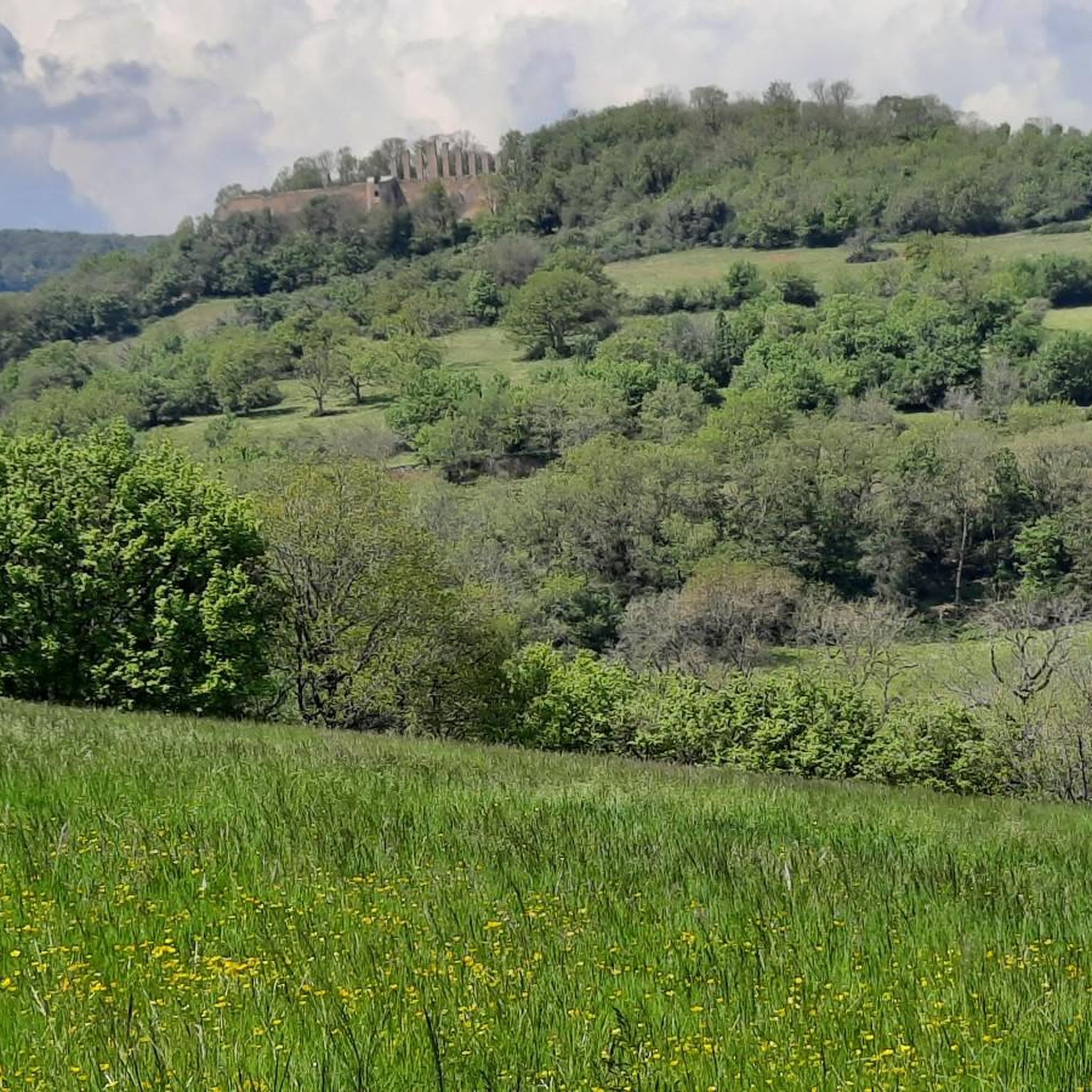
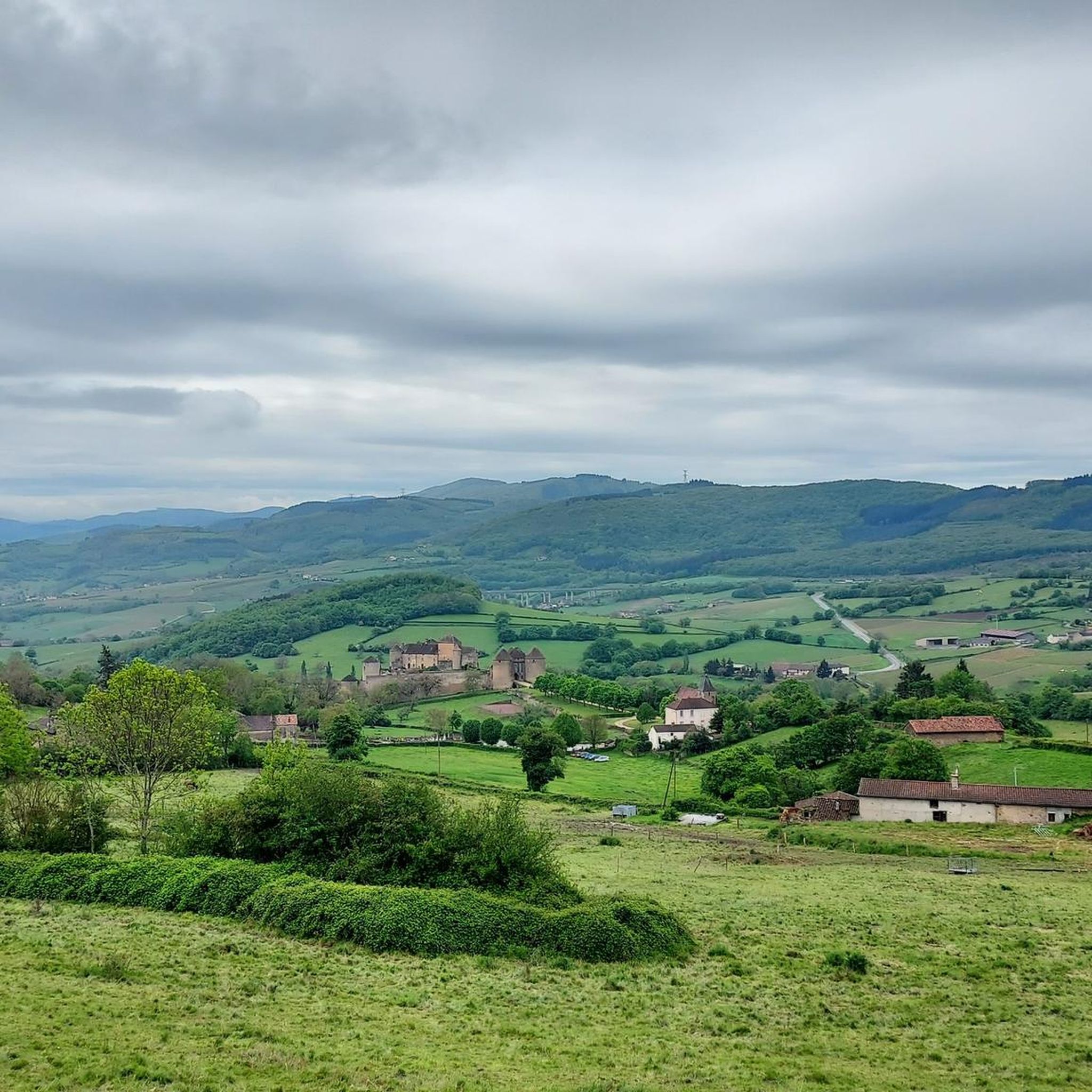
Superb Renaissance-era castle with magnificent gardens.
1
0
Frequently Asked Questions
How many road cycling routes are available around Lournand?
There are over 250 road cycling routes around Lournand, catering to various skill levels. You'll find approximately 23 easy routes, 167 moderate routes, and 64 challenging options to explore the region's rolling hills and vineyards.
What kind of terrain can I expect on road cycling routes near Lournand?
The terrain around Lournand is characterized by rolling hills and forest landscapes, offering varied and engaging rides. Many routes wind through the picturesque Mâcon vineyards, and you can expect steady climbs and descents. Some more challenging routes feature significant elevation gains.
Are there any family-friendly road cycling routes in the Lournand area?
While many routes involve rolling hills, the region's proximity to the Greenway of Southern Burgundy offers dedicated, flatter paths suitable for families. Within the komoot routes, you can filter for 'easy' difficulty to find less strenuous options, though these may still include some elevation.
What are some notable landmarks or natural features to see while road cycling around Lournand?
Cyclists can enjoy views of the Mâcon vineyards and the Grosne river. The impressive Roche de Solutré offers breathtaking panoramic views. Historical sites like the medieval city of Cluny and Cormatin Castle are also accessible by bike. Don't miss the unique Tunnel du Bois Clair, a former railway tunnel now open to cyclists, which is part of the route Col du Bois Clair – Bois Clair tunnel loop from Cluny.
What is the best time of year for road cycling in Lournand?
The region is generally pleasant for road cycling from spring through autumn. Spring offers lush greenery and blooming landscapes, while autumn provides vibrant colors. Summer can be warm, but routes through forested areas offer shade. Always check local weather forecasts before heading out.
Are there challenging road cycling routes for experienced cyclists?
Yes, Lournand offers several challenging routes with significant elevation gains. For instance, the La Côte de Château — loop from Cluny is a difficult 56.8 km path with over 1000 meters of elevation gain, designed to test experienced riders with sustained climbs through the local hills.
Can I find circular road cycling routes around Lournand?
Absolutely. Many of the road cycling routes in the area are designed as loops, allowing you to start and finish in the same location. Examples include Col des Enceints — loop from Cluny and Pierreclos Church – Cluny Abbey loop from Cluny, providing convenient options for exploration.
What do other road cyclists enjoy most about the routes in Lournand?
The road cycling routes in Lournand are highly rated by the komoot community, with an average score of 4.4 stars from over 80 reviews. Cyclists often praise the varied terrain, the picturesque vineyard views, and the network of roads connecting historical villages and natural settings.
Are there any long-distance road cycling routes available?
Yes, for those seeking longer rides, routes like Buxy Station – Cormatin Castle loop from Cluny cover nearly 100 km, offering an extensive journey through the region's landscapes and past notable attractions like Cormatin Castle.
Is there public transport or parking available for cyclists in Lournand?
While specific public transport options directly to Lournand for cyclists might be limited, the area is well-suited for car access. Parking is generally available in and around villages like Cluny, which serves as a common starting point for many routes. It's advisable to check local parking regulations upon arrival.
Are there cafes or places to stop for refreshments along the road cycling routes?
The routes often pass through or near charming villages such as Cluny and Taizé, where you can find cafes, bakeries, and restaurants to refuel. Planning your route with komoot allows you to identify potential stops for refreshments along the way.
Most popular attractions around Lournand

Get inspired with the komoot mobile app


Explore more
Browse the best Road cycling routes in other regions.
