The best road cycling routes around Tortequesne
4.4
(240)
3,064
riders
311
rides
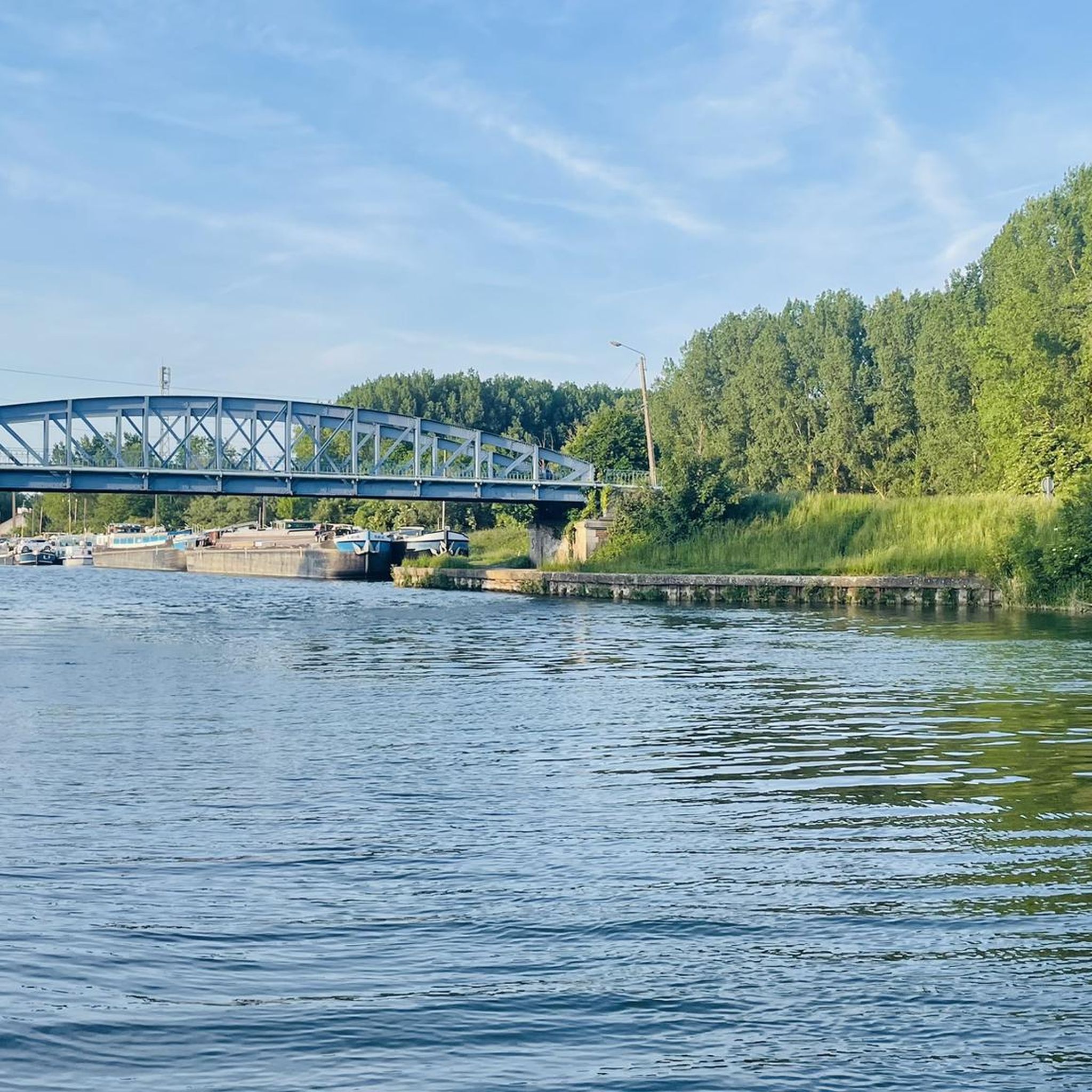
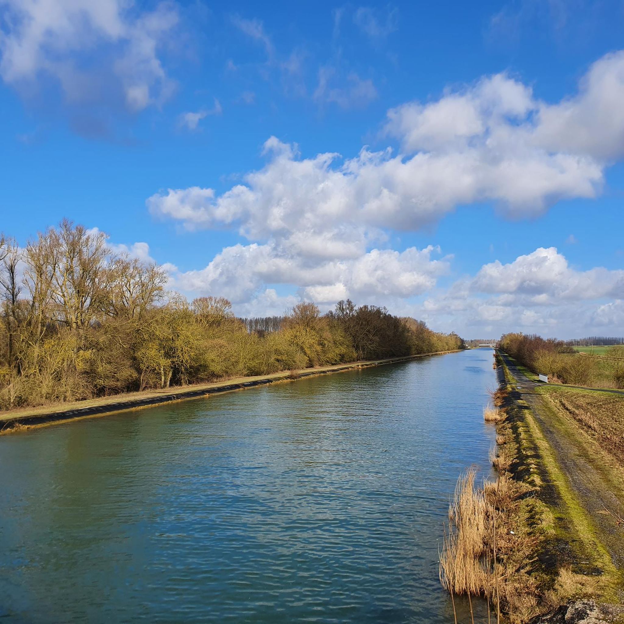
Road cycling routes around Tortequesne traverse a region characterized by a network of canals, such as the Canal du Nord and Canal de la Sensée, which offer flat paths. The landscape also features significant wetlands like the Marais de la Sensée and Étangs communaux d'Arleux, alongside wooded areas such as the Bois Duquesnoy. Cyclists will encounter varied terrain, including the scenic Scarpe and Sensée valleys, which present both flat sections and challenging climbs on local hills.
Best road cycling routes…
Last updated: July 2, 2026
5.0
(1)
11
riders
47.8km
02:01
260m
260m
Moderate road ride. Good fitness required. Some segments of this route may be unpaved and difficult to ride.
6
riders
47.5km
01:53
210m
210m
Easy road ride. Great for any fitness level. Mostly well-paved surfaces and easy to ride.

Sign up for free
7
riders
23.2km
00:58
120m
120m
Moderate road ride. Great for any fitness level. Some segments of this route may be unpaved and difficult to ride.
3
riders
40.8km
01:46
230m
230m
Moderate road ride. Great for any fitness level. Some segments of this route may be unpaved and difficult to ride.
5
riders
22.8km
01:00
120m
120m
Moderate road ride. Great for any fitness level. Some segments of this route may be unpaved and difficult to ride.
Get access to more routes and recommendations from other explorers.
Sign up for free
Already have an account?
Our route recommendations are based on thousands of hikes, rides, and runs completed by other people on komoot.
Start today with a free account
Your next adventure awaits.
Login or Signup

Tips from the Community

They are part of the unknown treasures of Arras and the Pays d'Artois. The various megalithic sites are good for a beautiful walk, among mysteries and legends, history and extraordinary landscapes. Set sail for the Scarpe valley and the Sensée valley, in the wake of the megaliths of the Pays d'Artois.
2
0

The story goes that once the people of the country showed the scratches produced, according to legend, by the claws of the demon when he seized the stone. Streaks do indeed appear on two sides of the menhir… But are they the same as before or do they come from the destruction of the stone in 1918
2
0

Menhir to discover. A descriptive panel is present at the parking lot of the site. Access is by a grassy path, not dented, practicable.
1
0

The menhir is classified as historical monuments on April 18, 1914. The menhir was overthrown by the Germans in 1918 and in its fall, it broke into two parts. On this occasion, it was observed that the menhir was only sunk into the ground to a depth of about 1 m, whereas according to older authors, during excavations carried out by the Marquis de la Ryanderie in 1784 the menhir sank into the ground 4 m to 5 m deep. Warning ! We are talking about the tallest menhir in the region, although it has shrunk by around 2 m over the centuries and destruction: today it stands at 3.20 meters. The origin of its name would come from a visible scratch on the stone which would have been made by the claws of the devil; according to another custom some believing to see a devil engraved on one of the faces would have given it this name. Many legends are exchanged around this stone planted in the middle of the fields. The village of Lécluse tells us the most famous story. “A fire ravaged a farmer's barn. Desperate, he made a pact with Satan: the building would be rebuilt before dawn in exchange for his soul. Remorseful, the farmer confessed everything to his wife, who had the idea to blackmail the rooster before daybreak. Panicked, Satan fled. But the next day, enraged at discovering the deception, the Demon threw one of the stones from the barn into the nearby field ... where it still stands today. The menhir can be seen from afar and is the emblem of the surroundings by its stature. It is assumed that the location of its implantation is not fortuitous, and would have been chosen almost 4,000 years ago.
1
0

Nice view on the lake of Lécluse, between the villages of Lécluse, Tortequesne and Hamel.
1
0
Frequently Asked Questions
How many road cycling routes are available around Tortequesne?
The Tortequesne region offers a wide selection of road cycling routes, with over 320 tours available on komoot. These routes cater to various preferences, from leisurely rides to more challenging excursions.
What are the difficulty levels of road cycling routes in the Tortequesne region?
Road cycling routes around Tortequesne are diverse in difficulty. You'll find approximately 60 easy routes, 256 moderate routes, and 7 more challenging routes, ensuring options for all skill levels.
What kind of landscapes can I expect to see while road cycling near Tortequesne?
The region offers a rich tapestry of landscapes. You can expect to cycle along picturesque canals like the Canal du Nord and Canal de la Sensée, traverse extensive wetlands such as the Marais de la Sensée, and pass through wooded areas like the Bois Duquesnoy. The scenic Scarpe and Sensée valleys also feature prominently, offering varied terrain.
Are there challenging climbs for experienced road cyclists in the Tortequesne area?
Yes, for experienced road cyclists seeking a challenge, the Sensée valley and local hills provide demanding climbs and 'false flats'. Routes around Noyelles sous Bellonne, Lécluse, and Oisy le Verger are noted for offering climbs with expansive views of the Sensée valley. An example of a route with moderate elevation is Col d'Erchin – Jetty on the Aubigny Marsh loop from Hamel.
Are there road cycling routes suitable for beginners or families?
Absolutely. The region has around 60 easy road cycling routes, many of which follow the flat paths along canals, making them ideal for beginners or family outings. An example of an easy route is Between the lakes – Côte d'Oisy-le-Verger loop from Estrées, which offers gentle terrain and scenic views.
What historical or cultural sites can I visit while road cycling in Tortequesne?
The region is rich in historical and cultural sites. You can encounter ancient megalithic sites like Les Bonnettes, The Menhir of Lécluse or the Devil's Stone, and The Big Rock. Additionally, the reconstructed 18th-century Orangery Castle is another point of interest you might pass.
Are there any unique natural landmarks to discover on a road cycling tour?
Beyond the canals and wetlands, the area features intriguing natural landmarks. You can explore sites like the stone that grows, or the Hamel Dolmen or the Sorcerers' Kitchen (Pierre Chavatte), which add a unique touch to your ride.
What do other cyclists say about road cycling in Tortequesne?
The road cycling routes in Tortequesne are highly regarded by the komoot community, holding an impressive average score of 4.3 stars from over 140 reviews. Cyclists often praise the varied terrain, from flat canal paths to scenic valley climbs, and the overall quality of the routes.
Are there any circular road cycling routes in Tortequesne?
Yes, many of the road cycling routes in Tortequesne are designed as loops, allowing you to start and end at the same point. Examples include The Marshes - Lécluse Pond loop from Hamel and Between the lakes – The Marshes - Lécluse Pond loop from Lécluse, which offer convenient circular journeys.
What is the best time of year for road cycling in Tortequesne?
The region is generally pleasant for road cycling from spring through autumn. During these seasons, the weather is typically mild, and the natural landscapes, including the wetlands and wooded areas, are at their most vibrant. Always check local weather forecasts before heading out.
Can I find routes that follow the canals or waterways?
Absolutely. The Tortequesne region is characterized by an extensive network of canals, including the Canal du Nord and the Canal de la Sensée. Many road cycling routes utilize the flat, scenic paths along these waterways, providing smooth and picturesque rides. For example, Côte d'Oisy-le-Verger – The Marshes - Lécluse Pond loop from Hamel incorporates marshlands and ponds.
Most popular routes around Tortequesne
Most popular attractions around Tortequesne

Get inspired with the komoot mobile app


Explore more
Browse the best Road cycling routes in other regions.
