The best running trails around Saint-Bonnet-De-Salers
4.3
(8)
1,446
runners
64
runs
Jogging around Saint-Bonnet-De-Salers offers diverse experiences across its volcanic landscapes and rich natural features within the Auvergne Volcanoes Regional Nature Park. The region is characterized by dramatic topography, including mountains, plateaus, and valleys, alongside lush pastures and preserved forests. This varied terrain provides a range of running routes, from gentle ascents to more challenging climbs, with constantly changing scenery. Natural attractions like waterfalls and panoramic views of the Monts du Cantal enhance the running experience.
Best jogging routes around Saint-Bonnet-De-Salers
…Last updated: July 13, 2026
5.0
(1)
706
runners
30.0km
04:05
1,090m
1,090m
Hard run. Very good fitness required. Sure-footedness, sturdy shoes and alpine experience required.
36
runners
46.2km
05:56
1,460m
1,460m
Hard run. Very good fitness required. Mostly paved surfaces. Suitable for all skill levels.

Sign up for free
23
runners
58.3km
08:25
2,620m
2,620m
Hard run. Very good fitness required. Sure-footedness, sturdy shoes and alpine experience required.
4.0
(1)
10
runners
8.69km
01:03
270m
260m
Moderate run. Good fitness required. Mostly paved surfaces. Suitable for all skill levels.
16
runners
11.3km
01:34
410m
410m
Hard run. Very good fitness required. Sure-footedness, sturdy shoes and alpine experience required.
Get access to more routes and recommendations from other explorers.
Sign up for free
Already have an account?
Our route recommendations are based on thousands of hikes, rides, and runs completed by other people on komoot.
Start today with a free account
Your next adventure awaits.
Login or Signup
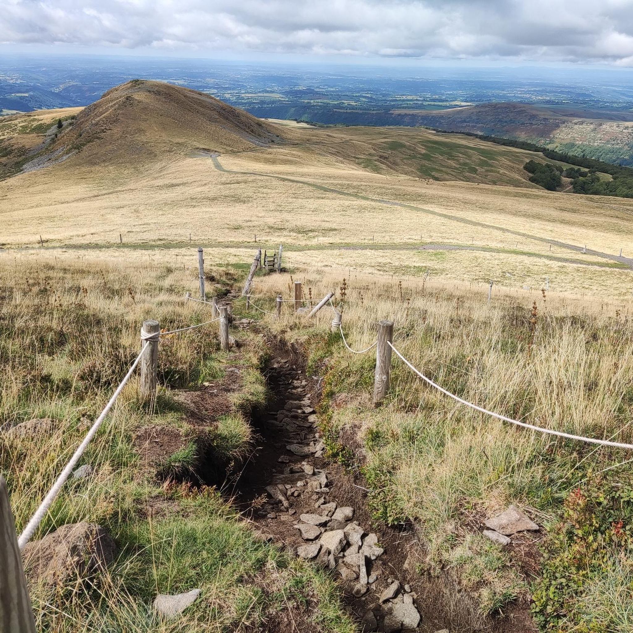
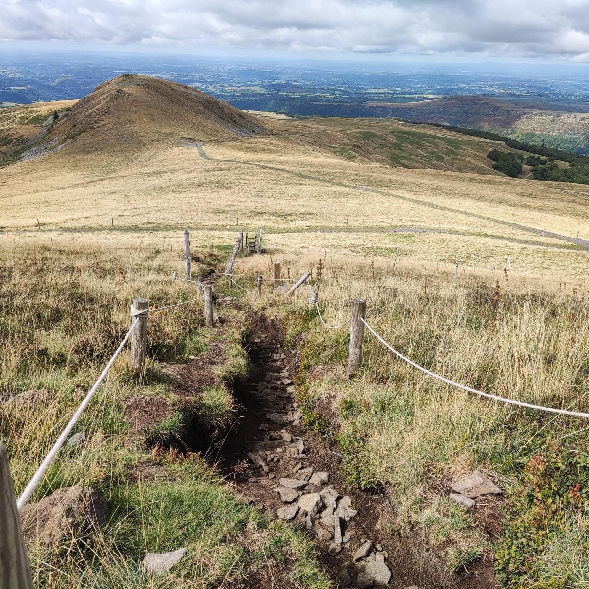
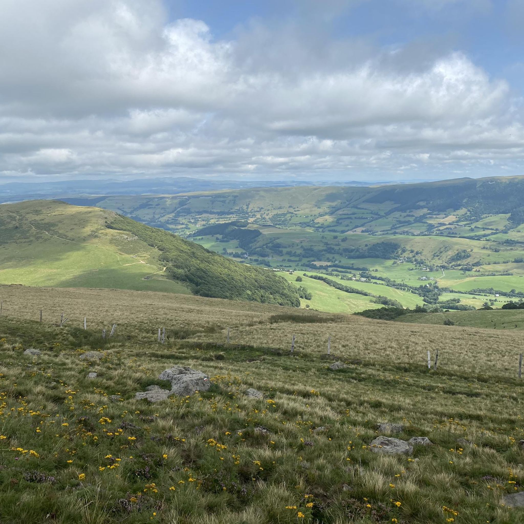

Tips from the Community


Either stressful or relaxed from Puy Mary.
0
0
Great scenery, beautiful road, beautiful views. Perfect for a downhill ride.
0
0

A magnificent site where the panoramas are breathtaking!!!
0
0

Quickly move through the landscape on the balcony.
1
0

nice climb and good visibility over the valley
0
0

Salers is a municipality in the Cantal department in the Auvergne-Rhône-Alpes region. The town is a completely preserved small town from the Renaissance period, with private and public buildings, city walls, defensive towers and a church. It was included in the association of the most beautiful villages in France. Despite its small population of around 300 inhabitants, the town is a historical, cultural and agricultural center in the sparsely populated mountain region of the Monts du Cantal. Source: https://de.wikipedia.org/wiki/Salers
3
0
Frequently Asked Questions
How many running routes are available in Saint-Bonnet-De-Salers?
There are over 60 dedicated running routes around Saint-Bonnet-De-Salers, offering a wide range of experiences from gentle jogs to challenging trail runs across the volcanic landscapes and lush pastures of the Auvergne Volcanoes Regional Nature Park.
Are there running routes suitable for beginners or those looking for an easy jog?
Yes, Saint-Bonnet-De-Salers offers several routes ideal for beginners or those seeking a relaxed run. There are 4 easy routes and 31 moderate routes. A great option for a pleasant, moderate run is the Salers – Salers loop from Salers, which is 5.3 km (3.3 miles) long and takes about 37 minutes to complete.
What kind of terrain can I expect on the running trails in Saint-Bonnet-De-Salers?
The running trails in Saint-Bonnet-De-Salers feature diverse terrain shaped by its volcanic origins. You'll encounter a mix of dramatic topography, including mountains, plateaus, and valleys, alongside tranquil lush pastures where Salers cattle graze, and preserved forests. This variety ensures constantly changing scenery and different challenges for runners.
Are there any running routes with panoramic views or natural landmarks?
Absolutely. Many routes offer inspiring panoramic views of the majestic Monts du Cantal. You can also find natural attractions like waterfalls, such as the Cascade de Liadouze or the Biaguin Waterfall. For stunning vistas, consider routes that pass near the Puy Mary Summit or the Pas de Peyrol Pass.
Can I find challenging trail running routes with significant elevation gain?
Yes, for experienced trail runners, Saint-Bonnet-De-Salers provides several difficult routes with significant elevation. For instance, the Shadow Rock – Brèche d'Enfloquet loop from Le Falgoux is an 18.6 km (11.6 miles) path with considerable ascent, offering a demanding experience through varied volcanic terrain.
Are there any circular running routes available?
Many of the running routes in the region are circular, allowing you to start and end at the same point. An example of a longer circular route is the Salers – Neronne Pass loop from Salers, which spans nearly 30 km (18.6 miles) through mountainous landscapes.
What do other runners enjoy most about jogging in Saint-Bonnet-De-Salers?
The running routes in Saint-Bonnet-De-Salers are highly rated by the komoot community, with an average score of 3.9 stars from over 10 reviews. Runners often praise the stunning volcanic landscapes, the tranquility of the pastures and forests, and the diverse network of trails that cater to various fitness levels.
Are there any specific points of interest or landmarks along the running trails?
Beyond the natural beauty, you'll find several points of interest. Routes often pass by significant mountain passes like the Neronne Pass or the Redondet Pass. The nearby medieval village of Salers, just 4 km away, also offers historical charm and can be a great starting or ending point for your run.
What is the best time of year to go running in Saint-Bonnet-De-Salers?
The region is beautiful throughout the warmer months. Spring and autumn offer pleasant temperatures and vibrant scenery, while summer provides lush green landscapes. The varied terrain means you can find shaded routes in forests during hotter days. Always check local weather conditions before heading out.
Are there running routes that are suitable for families?
While many trails are primarily designed for hiking, several moderate routes can be suitable for families looking for a jog, especially those with accessible paths and less challenging elevation. Look for shorter, well-maintained loops that traverse the pastures and forests for a more family-friendly experience.
Are there any long-distance running routes for endurance training?
Yes, for those seeking longer distances and endurance challenges, Saint-Bonnet-De-Salers offers several extensive routes. The Puy Mary – Col de Redondet loop from Le Vaulmier is a difficult 58.9 km (36.6 miles) route with significant elevation, ideal for long-distance training.
Most popular routes around Saint-Bonnet-De-Salers
Most popular attractions around Saint-Bonnet-De-Salers

Get inspired with the komoot mobile app


Explore more
Browse the best Running Trails & Routes in other regions.
