The best running trails around Mont-Cauvaire
4.4
(89)
5,492
runners
268
runs
Jogging routes around Mont-Cauvaire offer an extensive network of trails through varied landscapes in the Seine-Maritime department of France. The region is characterized by its rural charm, featuring woodlands, verdant valleys, and a countryside with meadows. These paths provide diverse options for different preferences and fitness levels, ranging from shorter runs to longer excursions.
Best jogging routes around Mont-Cauvaire
- The most popular jogging route is Bois de Fécamp loop from Fontaine-le-Bourg, a 4.9 miles (8.0 km) trail that takes…
Last updated: July 1, 2026
4.0
(5)
28
runners
7.97km
00:53
110m
110m
Moderate run. Good fitness required. Mostly paved surfaces. Suitable for all skill levels.
20
runners
12.9km
01:33
220m
220m
Moderate run. Good fitness required. Mostly accessible paths. Some sure footedness required.

Sign up for free
22
runners
9.16km
00:57
50m
50m
Moderate run. Good fitness required. Mostly paved surfaces. Suitable for all skill levels.
18
runners
9.94km
01:02
60m
60m
Moderate run. Good fitness required. Mostly paved surfaces. Suitable for all skill levels.
13
runners
6.48km
00:40
50m
50m
Moderate run. Good fitness required. Mostly paved surfaces. Suitable for all skill levels.
Get access to more routes and recommendations from other explorers.
Sign up for free
Already have an account?
Our route recommendations are based on thousands of hikes, rides, and runs completed by other people on komoot.
Start today with a free account
Your next adventure awaits.
Login or Signup

Tips from the Community

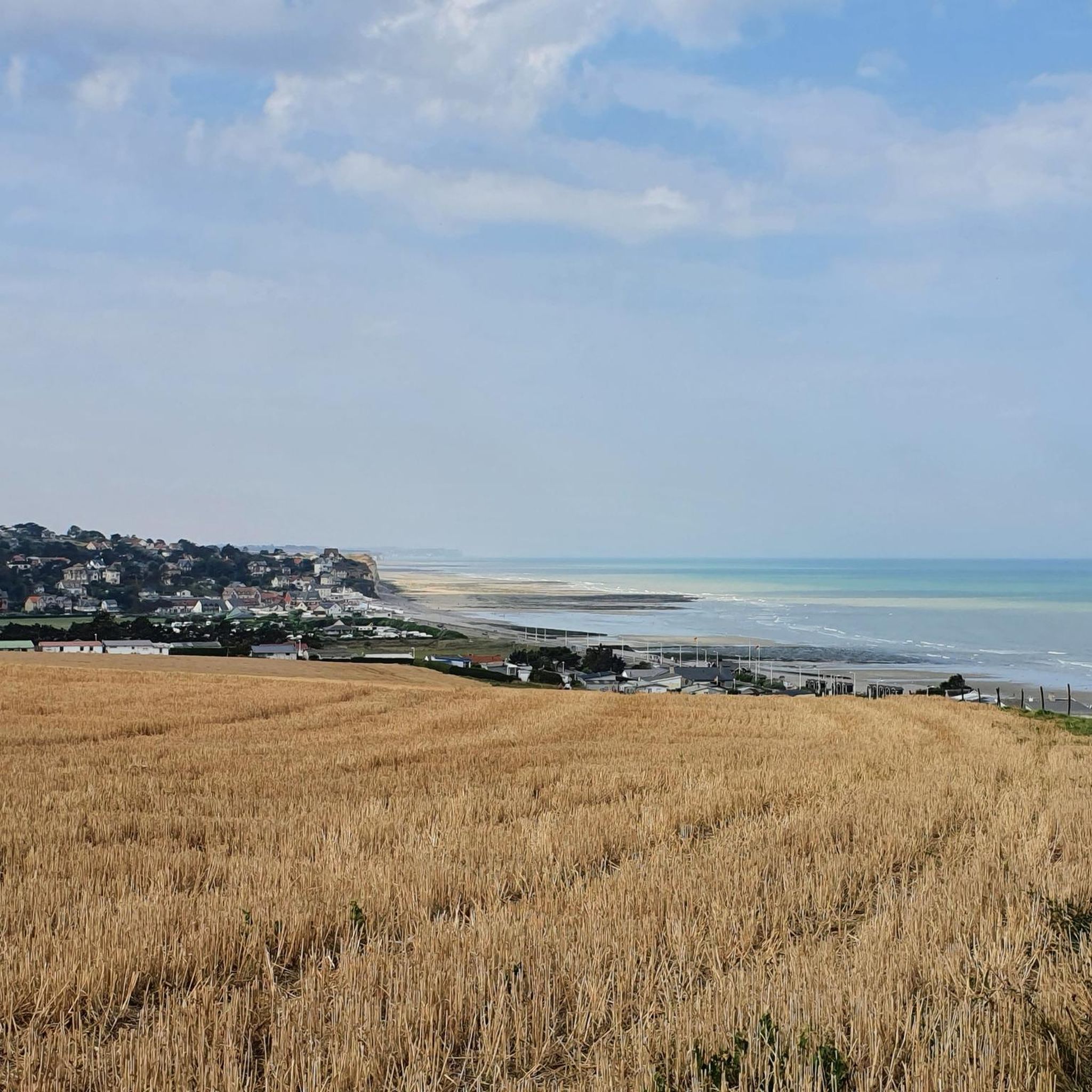
The Church has a Latin cross plan with one nave, a nave intersected by a transept, semi-circular bays punctuate the elevations. The bell tower and its polygonal slate spire dominate the double-sloped roofs. The facade is decorated with geometric patterns.
0
0

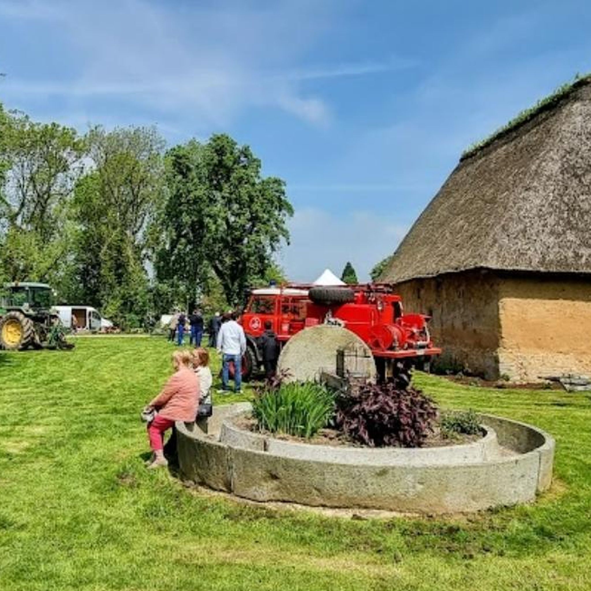
Mont-Cauvaire is a very bucolic town. There is notably the Raimbourg farm, which has obtained the “Rural Heritage” label for its double bread oven.
0
0
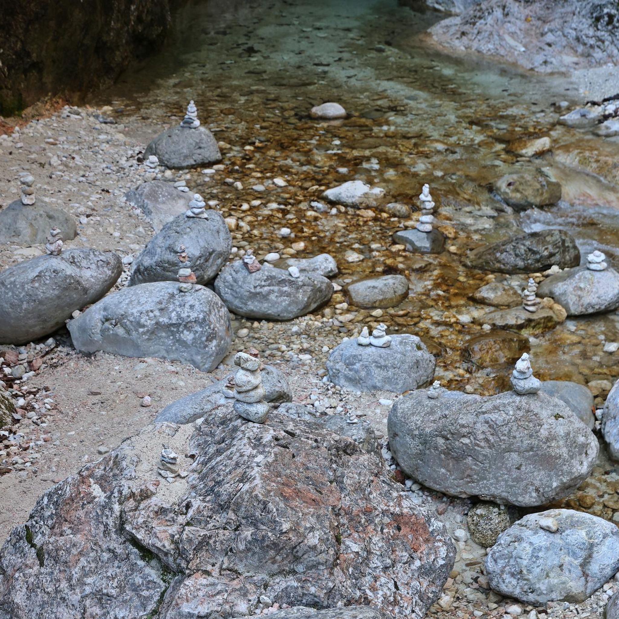
Between Mont-Cauvaire and Montville, this forest path immerses hikers in a pretty green setting. A few meters away, the course of the Clairette runs along the path. You may hear the clicking of the water accompanying your steps.
1
0
Frequently Asked Questions
How many running trails are available around Mont-Cauvaire?
Mont-Cauvaire offers a wide selection of over 260 running trails, catering to various fitness levels. You'll find everything from easy strolls to more challenging runs, with the majority being of moderate difficulty.
What kind of terrain can I expect on the jogging routes in Mont-Cauvaire?
The running routes in Mont-Cauvaire feature a diverse landscape, characterized by woodlands, verdant valleys, and open countryside. You'll encounter a mix of paths, from well-maintained trails through scenic woods to historic routes that once served local villagers.
Are there any long-distance running options in the Mont-Cauvaire area?
Yes, Mont-Cauvaire is situated on the GR 210 trail, a significant long-distance route known as "Sur les traces du chasse-marée." This historic path stretches 86 kilometers between Dieppe and Rouen, offering excellent opportunities for longer runs or multi-day excursions.
Are there any circular running routes around Mont-Cauvaire?
Absolutely. Many of the trails in the region are designed as loops. For example, you could try the Lovely forest path – Mont-Cauvaire loop from Mont-Cauvaire, a moderate 7.8-mile path winding through varied natural environments, or the Mont-Cauvaire loop from Ratiéville, which covers nearly 10 kilometers.
What do other runners enjoy most about jogging in Mont-Cauvaire?
The running routes in Mont-Cauvaire are highly rated by the komoot community, with an average score of 4.4 stars from over 80 reviews. Runners often praise the tranquil setting, the varied natural environments, and the well-maintained paths that make for an enjoyable outdoor experience.
Are there any family-friendly running trails suitable for all ages?
Yes, the region offers numerous paths that are generally easy and suitable for various activity levels, including families. Many routes are designed for walks ranging from short 30-minute strolls to longer excursions, which can be adapted for a gentle family run. Look for trails described as 'easy' in the komoot app.
Can I bring my dog on the running trails in Mont-Cauvaire?
Mont-Cauvaire's extensive network of natural paths through woodlands and countryside makes it a great place for running with dogs. While specific dog-friendly regulations can vary, generally, dogs are welcome on most public trails, especially when kept on a leash. Always ensure your dog is under control and respect local signage.
Are there any interesting landmarks or points of interest along the running routes?
While jogging, you might encounter historic paths with evocative names like "la Sente forrière" or "Chemin du chasse-marée." For specific attractions, consider visiting the Clères Zoological Park or exploring Clères Village, both of which are nearby and offer unique points of interest.
Where can I find detailed maps or route information for jogging in Mont-Cauvaire?
Detailed hiking sheets, including IGN maps, are often available for download for the region's trails. Additionally, komoot provides comprehensive route information, including maps, distance, elevation, and difficulty for all listed running trails, such as the Mont-Cauvaire loop from Clères.
Are there any specific routes that lead through forests or offer shaded areas?
Many routes in Mont-Cauvaire traverse scenic woodlands, providing ample shade. A popular choice is the Bois de Fécamp loop from Fontaine-le-Bourg, which leads directly through beautiful woods, offering a refreshing experience, especially on warmer days.
What is the best time of year to go running in Mont-Cauvaire?
Mont-Cauvaire's varied landscapes are enjoyable throughout the year. Spring brings blooming flora, while autumn offers vibrant foliage. Summer is pleasant, especially on shaded forest trails, and even winter runs can be beautiful, though paths might be muddier. Always check local weather conditions before heading out.
Are there options for parking near the running trails?
While specific parking details vary by trail, many routes around Mont-Cauvaire, especially those starting from villages like Mont-Cauvaire itself or Fontaine-le-Bourg, typically have designated parking areas nearby. It's always a good idea to check the route details on komoot for specific starting points and potential parking information.
Most popular attractions around Mont-Cauvaire

Get inspired with the komoot mobile app


Explore more
Browse the best Running Trails & Routes in other regions.
