The best walks and hikes around Mont-Cauvaire
4.4
(308)
1,940
hikers
154
hikes
Hiking around Mont-Cauvaire offers a network of trails through varied landscapes. The region features gentle rolling hills, often alongside rivers and streams, and passes through agricultural areas and local villages. Elevation gains on these routes are typically moderate, making them accessible for different fitness levels. The area provides opportunities for exploring the countryside with a mix of open paths and shaded sections.
Best hiking trails around Mont-Cauvaire
- The most popular hiking route is Clairette Ford Crossing loop from Anceaumeville,…
Last updated: July 2, 2026
4.5
(13)
40
hikers
5.36km
01:32
120m
120m
Easy hike. Great for any fitness level. Easily-accessible paths. Suitable for all skill levels.
4.8
(8)
28
hikers
8.50km
02:18
120m
110m
Moderate hike. Good fitness required. Easily-accessible paths. Suitable for all skill levels.

Sign up for free
5.0
(4)
15
hikers
12.1km
03:19
190m
190m
Moderate hike. Good fitness required. Easily-accessible paths. Suitable for all skill levels.
4.0
(2)
5
hikers
5.95km
01:38
100m
100m
Easy hike. Great for any fitness level. Easily-accessible paths. Suitable for all skill levels.
4.0
(1)
9
hikers
6.35km
01:48
120m
120m
Easy hike. Great for any fitness level. Easily-accessible paths. Suitable for all skill levels.
Get access to more routes and recommendations from other explorers.
Sign up for free
Already have an account?
Our route recommendations are based on thousands of hikes, rides, and runs completed by other people on komoot.
Start today with a free account
Your next adventure awaits.
Login or Signup


Tips from the Community

Clères is a French commune with 1,380 inhabitants in the Seine-Maritime department in the Normandy region. It belongs to the arrondissement of Rouen and the canton of Bois-Guillaume.
0
0


Located in the center of the village, opposite the church, this area is very pleasant. This gives you access to tables, a kiosk with reading corner and a play area for children. Ideal for taking a break!
0
0
The building consists of a nave, a choir and a sacristy, built longitudinally. Within the church, several works are presented. The first two are wooden bas-reliefs displayed in the choir and seem to have been made around 1650.
0
0
The Chemin du Mouchel, a long straight line on the plateau, will offer you a nice view of the surrounding crops and the Bocasse leisure park. It ends with a wooded descent to reach Clères.
0
0
Fief owned in 1553 by François de Montgomery, the first man-at-arms in France. The Château du Bosc Théroulde was rebuilt from 1616 to 1632 in the Napoleon III style. It benefited from significant revivals in the 19th century.
0
0
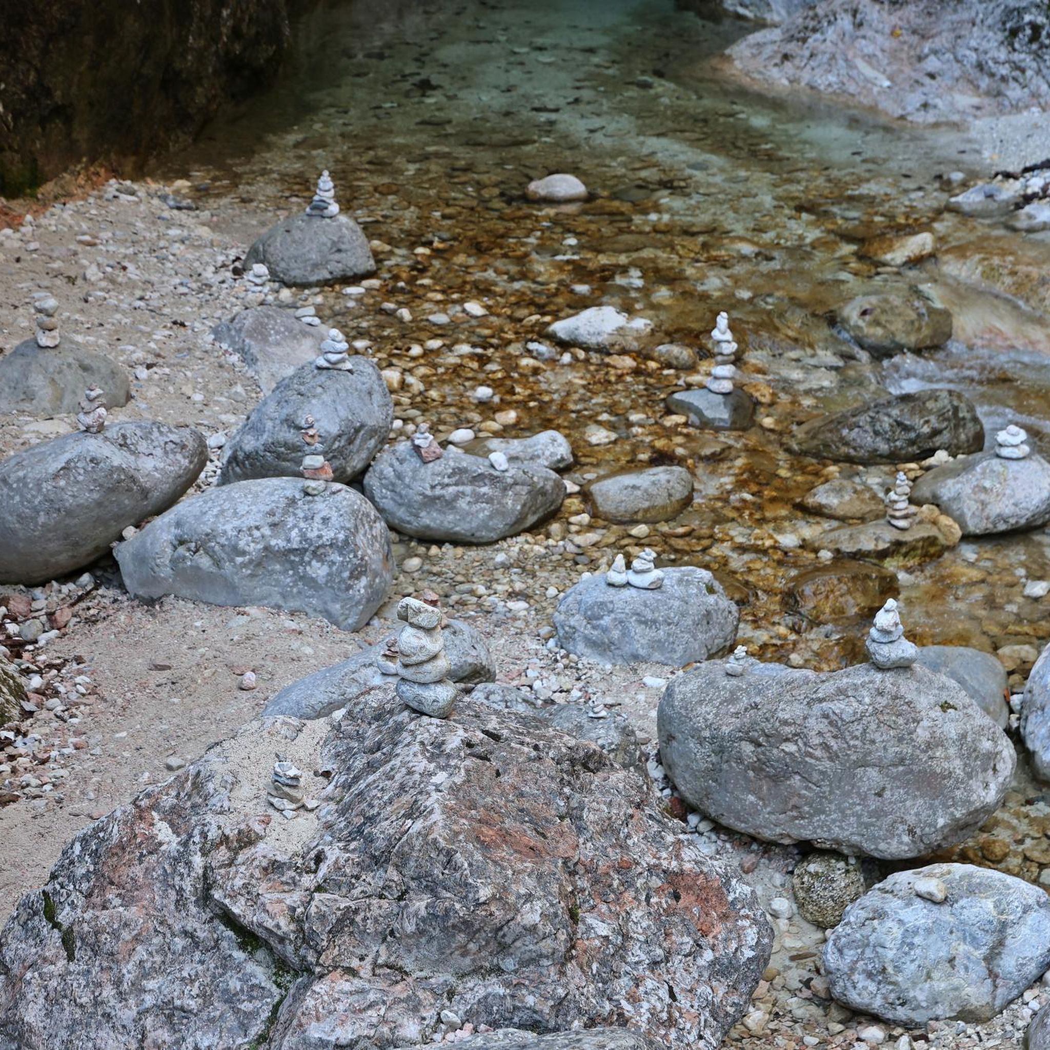
At Petit Tendos, you will cross (via a bridge!) the Cailly. On the side, however, you access the river. Your potential 4-legged companion will be delighted! The Cailly is a tributary of the Seine into which it flows at Rouen. A river with a regular flow, the Cailly crosses two completely distinct zones; in the upstream part, a lightly urbanized area dominated by agricultural activities, in the downstream part, between Malaunay and its mouth, a totally urbanized area, a real street of urban areas with an industrial vocation.
0
0
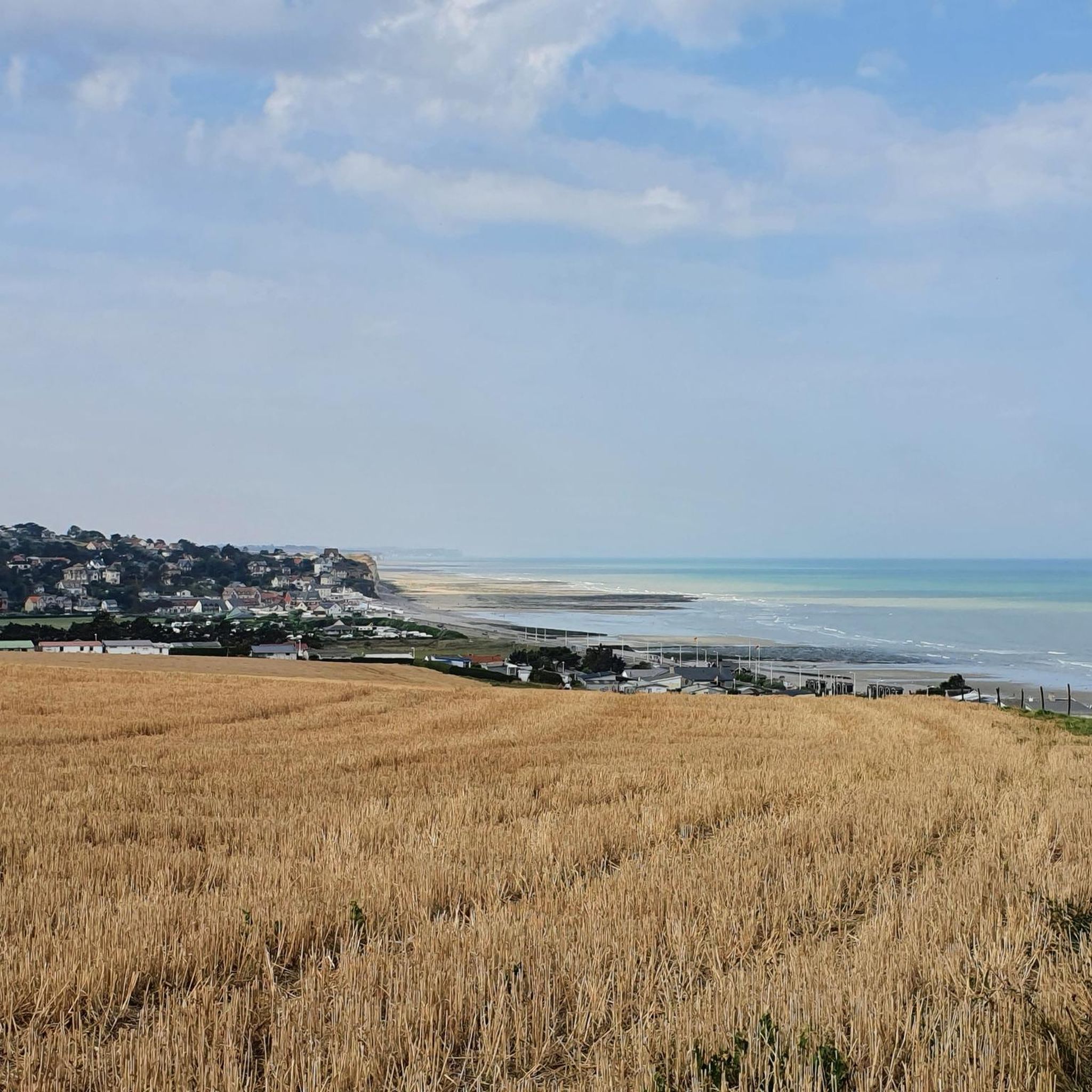
On the descent leading to Grand Tendos, a lovely view of the Cailly valley awaits you.
0
0
Frequently Asked Questions
How many hiking trails are available around Mont-Cauvaire?
The Mont-Cauvaire region offers a wide selection of hiking opportunities, with over 150 trails recorded on komoot. These range from easy strolls to more challenging excursions, catering to various fitness levels.
What kind of terrain can I expect on hikes around Mont-Cauvaire?
Hikes around Mont-Cauvaire feature varied landscapes, including gentle rolling hills, paths alongside rivers and streams, and routes through agricultural areas and local villages. You'll find a mix of open paths and shaded sections.
Are there easy hikes suitable for beginners or families with children?
Yes, Mont-Cauvaire has many easy routes perfect for beginners or families. For example, the Clairette Ford Crossing loop from Anceaumeville is an easy 3.3-mile (5.4 km) trail that includes a ford crossing and follows water features, making it an enjoyable option.
Are there any circular walks available in Mont-Cauvaire?
Many of the trails in Mont-Cauvaire are designed as circular routes, allowing you to start and end at the same point. The Mont-Cauvaire – Ferme Raimbourg loop from Mont-Cauvaire is a good example of an easy 3.7-mile (6 km) circular hike.
What are some interesting places to explore or landmarks to see while hiking?
While hiking, you can explore charming local villages and natural features. Nearby attractions include the Clères Zoological Park and the picturesque Clères Village. During spring, you might even catch the seasonal Clères Daffodil Festival.
Can I hike with my dog around Mont-Cauvaire?
Generally, dogs are welcome on most hiking trails in the Mont-Cauvaire area, especially on public footpaths and in natural areas. However, it's always advisable to keep them on a leash, particularly when passing through agricultural land or near livestock, and to check for any specific local regulations.
Are there any routes that follow rivers or have water features?
Yes, the region is characterized by river valleys and streams. The Le Cailly loop from Fontaine-le-Bourg is a popular moderate trail that follows the Cailly river, offering pleasant riverside scenery. The Clairette Ford Crossing loop also features water elements.
Is parking available at the trailheads in Mont-Cauvaire?
Parking is generally available in or near the starting points of many trails, especially in villages like Mont-Cauvaire, Anceaumeville, and Fontaine-le-Bourg. Look for designated parking areas or street parking where permitted.
What is the best time of year to go hiking in Mont-Cauvaire?
The best time for hiking in Mont-Cauvaire is typically during spring (April to June) and autumn (September to October). During these seasons, the weather is mild and pleasant, and the natural scenery is particularly beautiful with blooming flowers or vibrant fall foliage. Summer can also be enjoyable, but it's best to hike in the mornings or late afternoons to avoid the midday heat.
What do other hikers enjoy most about hiking in Mont-Cauvaire?
The hiking trails around Mont-Cauvaire are highly rated by the komoot community, with an average score of 4.5 stars from over 260 reviews. Hikers often praise the varied terrain, the peaceful river valleys, and the charming village paths that make the region accessible and enjoyable for different ability levels.
How long do hikes typically take in the Mont-Cauvaire area?
Hike durations vary depending on the route and your pace. Many easy trails can be completed in 1.5 to 2 hours, such as the Clairette Ford Crossing loop which takes about 1 hour 32 minutes. Longer, moderate routes like the Clères Daffodil Festival – Clères Village loop can take around 3 hours 19 minutes.
Are there any cafes or places to eat near the hiking trails?
Yes, as many trails pass through or near local villages, you can often find cafes, bakeries, or small restaurants. Villages like Mont-Cauvaire, Clères, and Fontaine-le-Bourg are good places to look for refreshments before or after your hike.
Most popular attractions around Mont-Cauvaire

Get inspired with the komoot mobile app


Explore more
Browse the best Hikes in other regions.
