The best road cycling routes around Saint-Sauveur-De-Cruzières
4.4
(252)
5,309
riders
157
rides
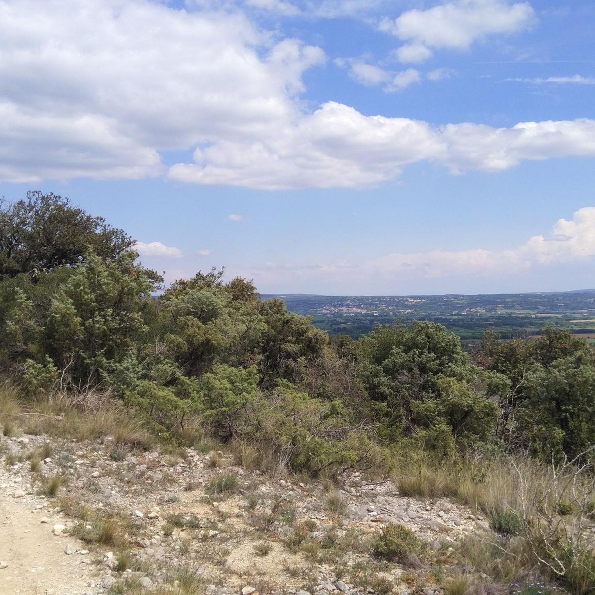
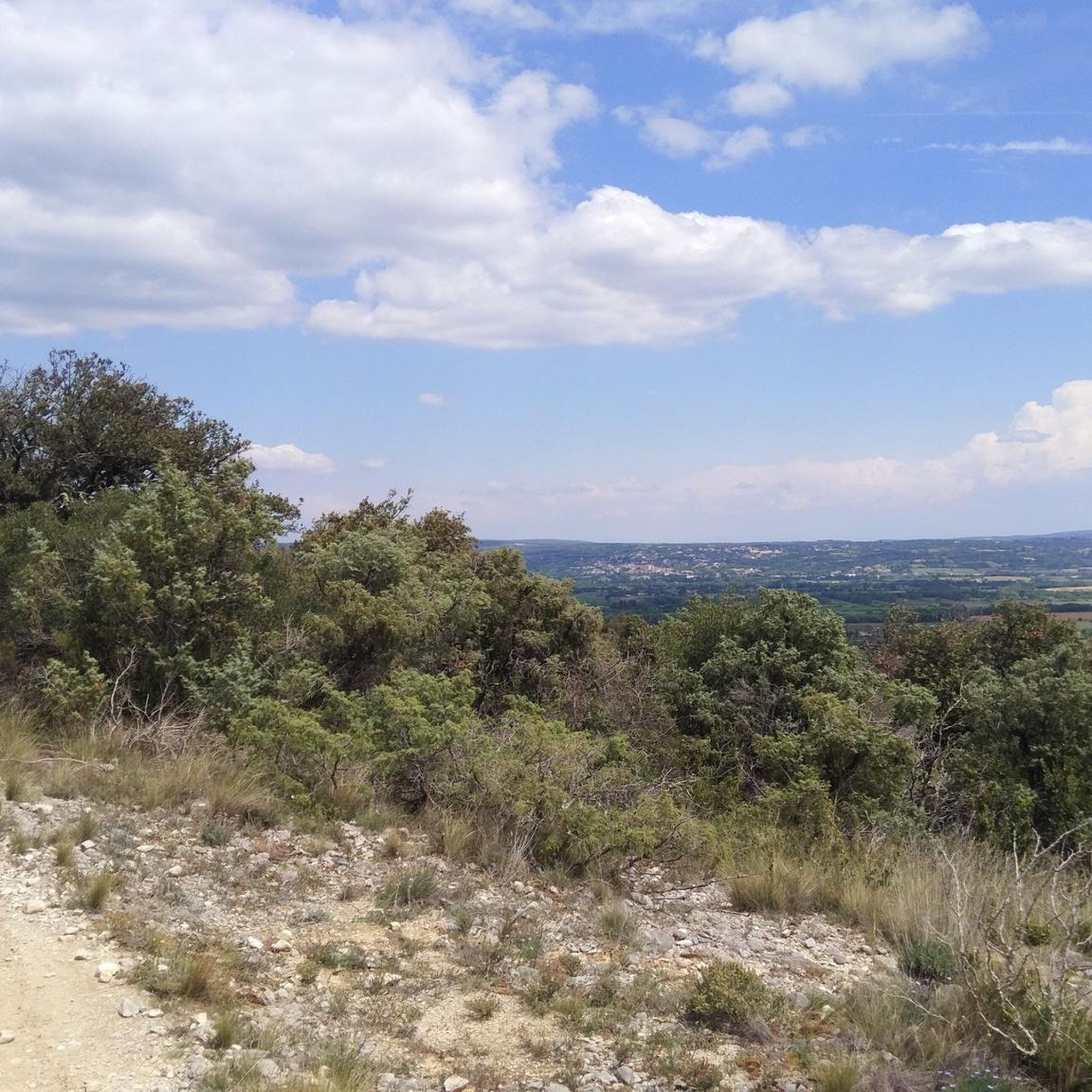
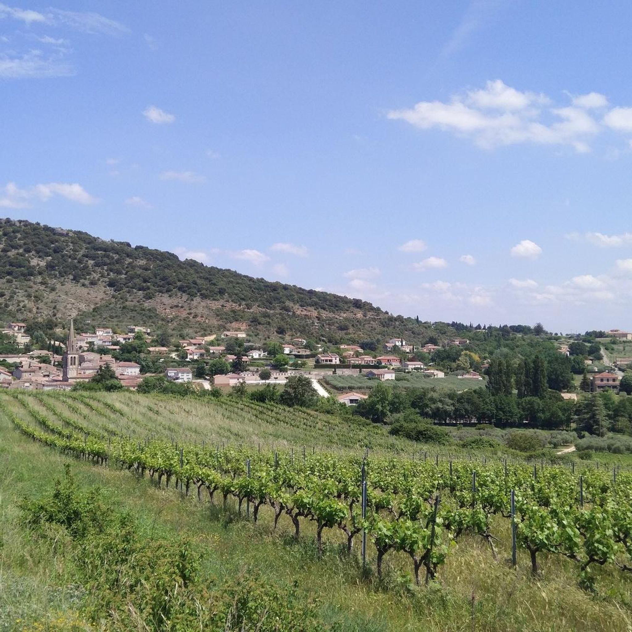
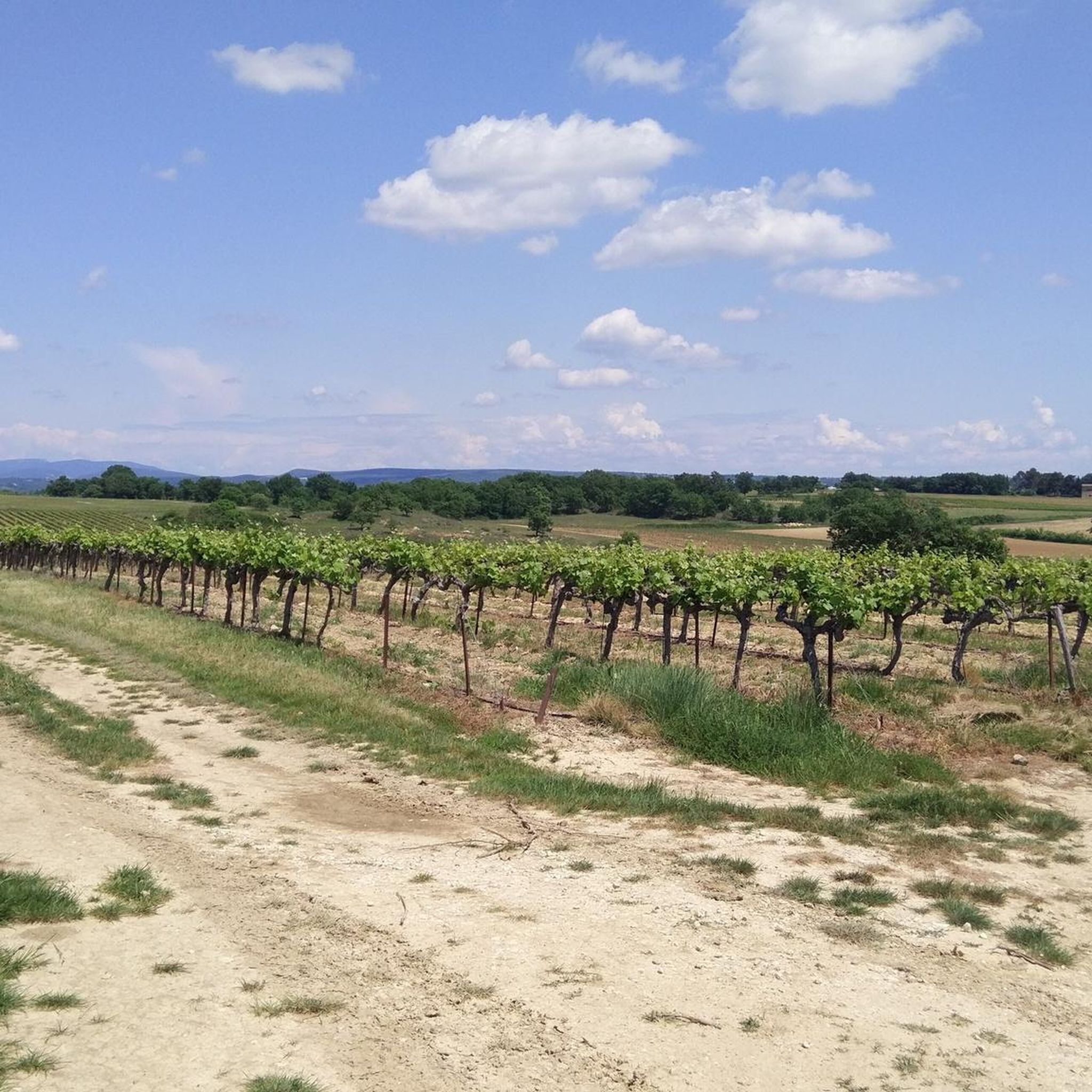
Road cycling around Saint-Sauveur-De-Cruzières offers diverse landscapes, with elevations ranging from 387 feet (118 meters) to 1,470 feet (448 meters). The region features a varied terrain of valleys and hills, characterized by vineyards, olive groves, and holm oaks. The area is situated between the Cévennes mountains and the Mediterranean, providing a mix of natural features for road cyclists.
Best road cycling routes around Saint-Sauveur-De-Cruzières
- The most popular road cycling route is La Ganière River – Little river in the pine…
Last updated: July 13, 2026
5.0
(1)
31
riders
Hard road ride. Very good fitness required. Some segments of this route may be unpaved and difficult to ride.
5.0
(1)
21
riders
Hard road ride. Very good fitness required. Mostly well-paved surfaces and easy to ride.

Sign up for free
5.0
(4)
43
riders
Moderate road ride. Good fitness required. Mostly well-paved surfaces and easy to ride.
5.0
(1)
24
riders
Moderate road ride. Good fitness required. Mostly well-paved surfaces and easy to ride.
4.5
(2)
20
riders
43.9km
02:13
590m
590m
Moderate road ride. Good fitness required. Some segments of this route may be unpaved and difficult to ride.
Get access to more routes and recommendations from other explorers.
Sign up for free
Already have an account?
Our route recommendations are based on thousands of hikes, rides, and runs completed by other people on komoot.
Start today with a free account
Your next adventure awaits.
Login or Signup

Tips from the Community

The famous rocks with the bear and the lion in the beautiful Bois de Païolive
0
0

Only spot with a valley view to the northeast.
0
0

so beautiful, you forget the elevation gain
0
0

Nice 2.5 km climb from Le Martinet. At the top, the pass is the confluence of several forest tracks that allow you to explore the surrounding mountains, one of which, the Chemin de Trélis, allows you to reach Rochessadoule.
0
0
Nice quiet road, the climb remains fairly regular, without a big gradient.
1
0

a pretty little Ardèche pass of 3 km, very steep
0
0

Everyone wants to paddle under the Pont d'Arc; it's unique and beautiful. However, during the summer season, up to 900 canoes per hour pass under this natural rock bridge, creating enormous crowds. The most beautiful section begins in Châmes and runs for about 24 kilometers through the Ardèche Natural Park. There are far fewer tourists, and the views are breathtaking. A good level of fitness is required. Expect to spend 5 to 6 hours paddling and enjoying the scenery.
0
0

The Ardèche remains a very beautiful place despite what this river takes away from our magnificent Loire.
0
0
Frequently Asked Questions
How many road cycling routes are available around Saint-Sauveur-de-Cruzières?
There are over 150 road cycling routes around Saint-Sauveur-de-Cruzières, offering a wide variety of options for different skill levels and preferences. The komoot community has explored these routes over 6,900 times.
What kind of terrain can I expect when road cycling near Saint-Sauveur-de-Cruzières?
The region offers a diverse terrain of valleys and hills, with elevations ranging from 118 to 448 meters. You'll cycle through picturesque landscapes characterized by vineyards, olive groves, and holm oaks, situated between the Cévennes mountains and the Mediterranean. Routes often feature mostly well-paved surfaces suitable for road bikes.
What is the best time of year for road cycling in Saint-Sauveur-de-Cruzières?
Thanks to its mild Mediterranean climate, Saint-Sauveur-de-Cruzières is suitable for road cycling year-round. Many routes, including those associated with the renowned Ardéchoise event, are permanently signposted and can be enjoyed throughout the year. Spring and autumn offer particularly pleasant temperatures.
Are there road cycling routes suitable for beginners in Saint-Sauveur-de-Cruzières?
Yes, there are 17 easy road cycling routes around Saint-Sauveur-de-Cruzières. For a gentler ride, consider exploring sections of the "Via Ardèche," a dedicated cycle path built along an old railway line, which offers a safe and scenic way to explore the southern Ardèche.
Are there challenging road cycling routes for experienced cyclists?
Absolutely. The region features 54 difficult road cycling routes, with varied terrain and significant elevation changes. These routes provide a good challenge for experienced riders looking to test their endurance and climbing skills in the hills and valleys surrounding Saint-Sauveur-de-Cruzières.
What scenic viewpoints or natural features can I see along road cycling routes?
Many routes offer stunning views. You can cycle along the Scenic Road Along the Gorges, which provides spectacular vistas of the Gorges de l'Ardèche. Other natural highlights include the unique rock formations of the Labyrinth of Rocks of the Cévennes and the dramatic Gorges du Chassezac. The area is also known for its vineyards and olive groves.
Are there any historical or cultural landmarks accessible by road bike?
Yes, Saint-Sauveur-de-Cruzières itself boasts historical charm, including the ruins of a medieval castle, a 19th-century church, and the chapel of Saint-Privas, which offers panoramic views. While some are best accessed on foot, many routes pass through or near charming villages where you can experience the local heritage. For more information on the village, you can visit tourisme-ceze-cevennes.com.
Are there family-friendly road cycling options in the area?
For families, the "Via Ardèche" offers a safe and scenic cycling experience away from traffic, built along an old railway line. While specific family-friendly road bike routes are not explicitly listed, the easier routes and dedicated cycle paths provide excellent options for families to enjoy cycling together.
What do other road cyclists enjoy the most about road cycling in Saint-Sauveur-de-Cruzières?
The area is highly rated by the komoot community, with an average score of 4.5 stars from over 300 reviews. Reviewers often praise the diverse landscapes, the well-paved roads, and the stunning views, particularly along routes like the Trélis Pass – View of the Eygues Valley loop.
Are there circular road cycling routes available?
Yes, many of the road cycling routes around Saint-Sauveur-de-Cruzières are designed as loops, allowing you to start and finish in the same location. Examples include the La Ganière River – Little river in the pine forest loop and the View of Bariac – View of the Ardèche River Dam loop.
Where can I find parking for road cycling routes?
Parking is generally available in the villages where routes begin, such as Saint-Sauveur-de-Cruzières, Saint-Brès, or Saint-André-de-Cruzières. Look for public parking areas within these towns, often near the village center or local amenities.
Are there opportunities to stop for refreshments or food along the routes?
Many road cycling routes pass through or near charming villages in the Ardèche region. These villages often have local cafes, bakeries, or small restaurants where you can stop for refreshments, a meal, or to refill your water bottles. Planning your route to include these stops is recommended.
Most popular routes around Saint-Sauveur-De-Cruzières
Most popular attractions around Saint-Sauveur-De-Cruzières

Get inspired with the komoot mobile app


Explore more
Browse the best Road cycling routes in other regions.
