The best walks and hikes around Saint-Sauveur-De-Cruzières
4.5
(1429)
6,417
hikers
16
hikes
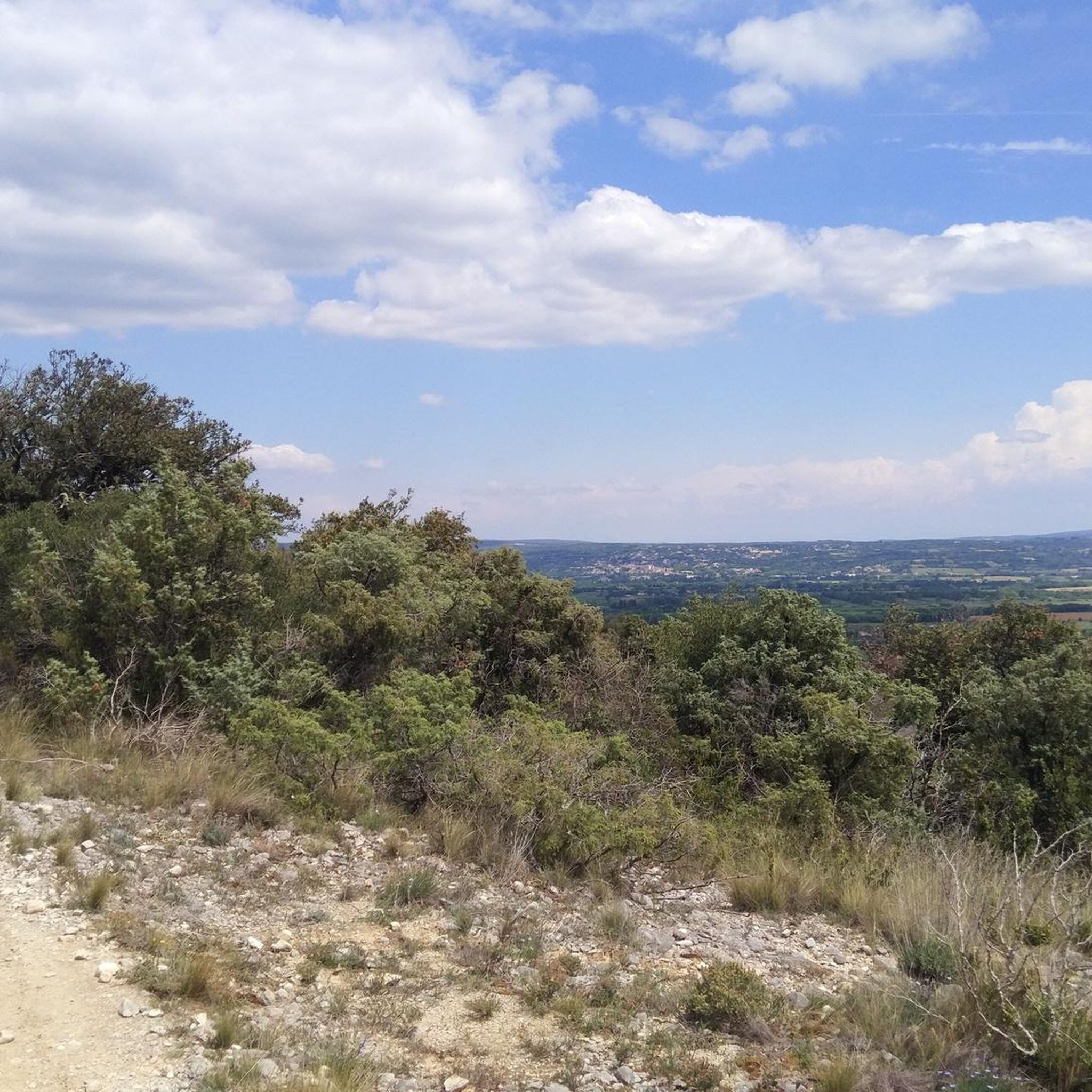
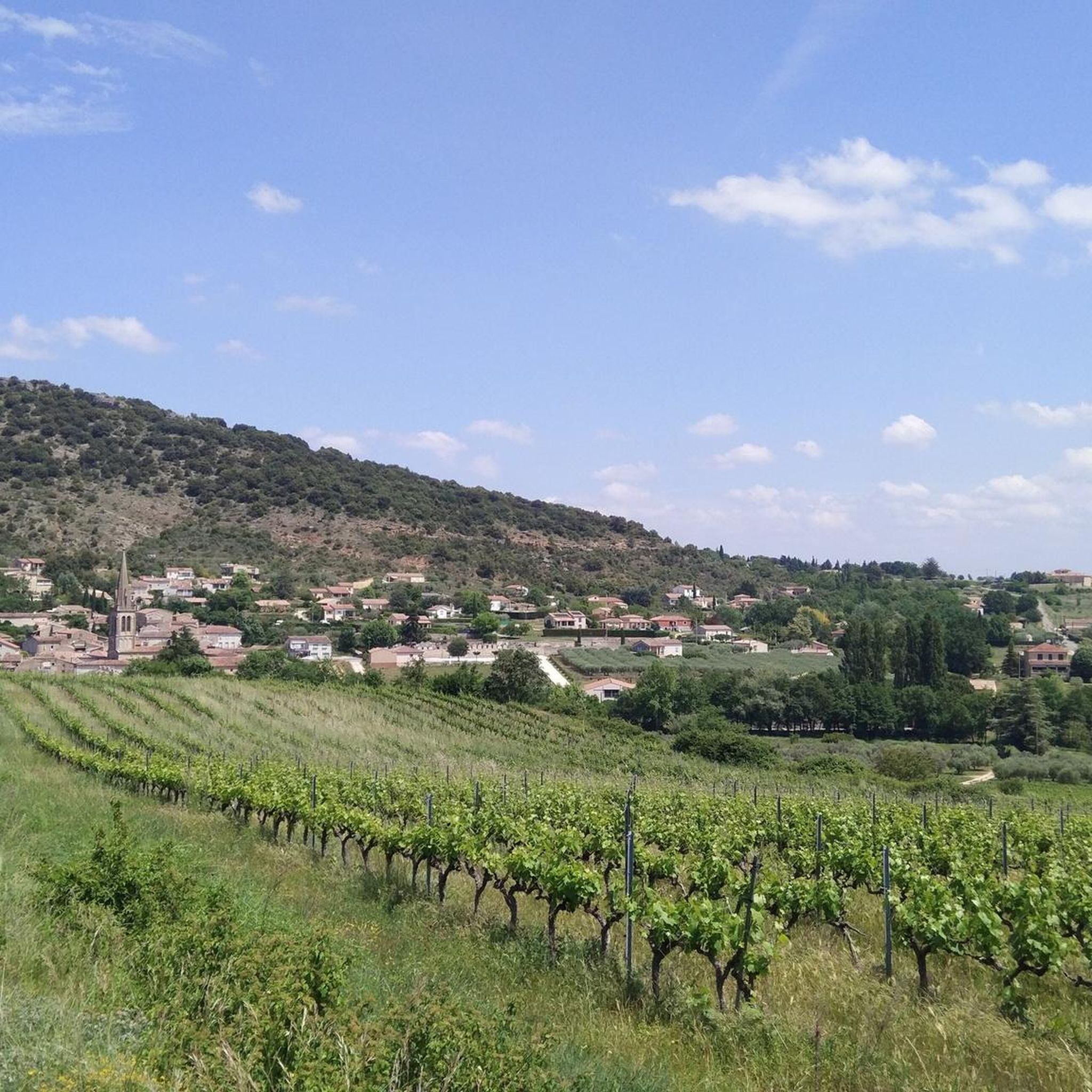
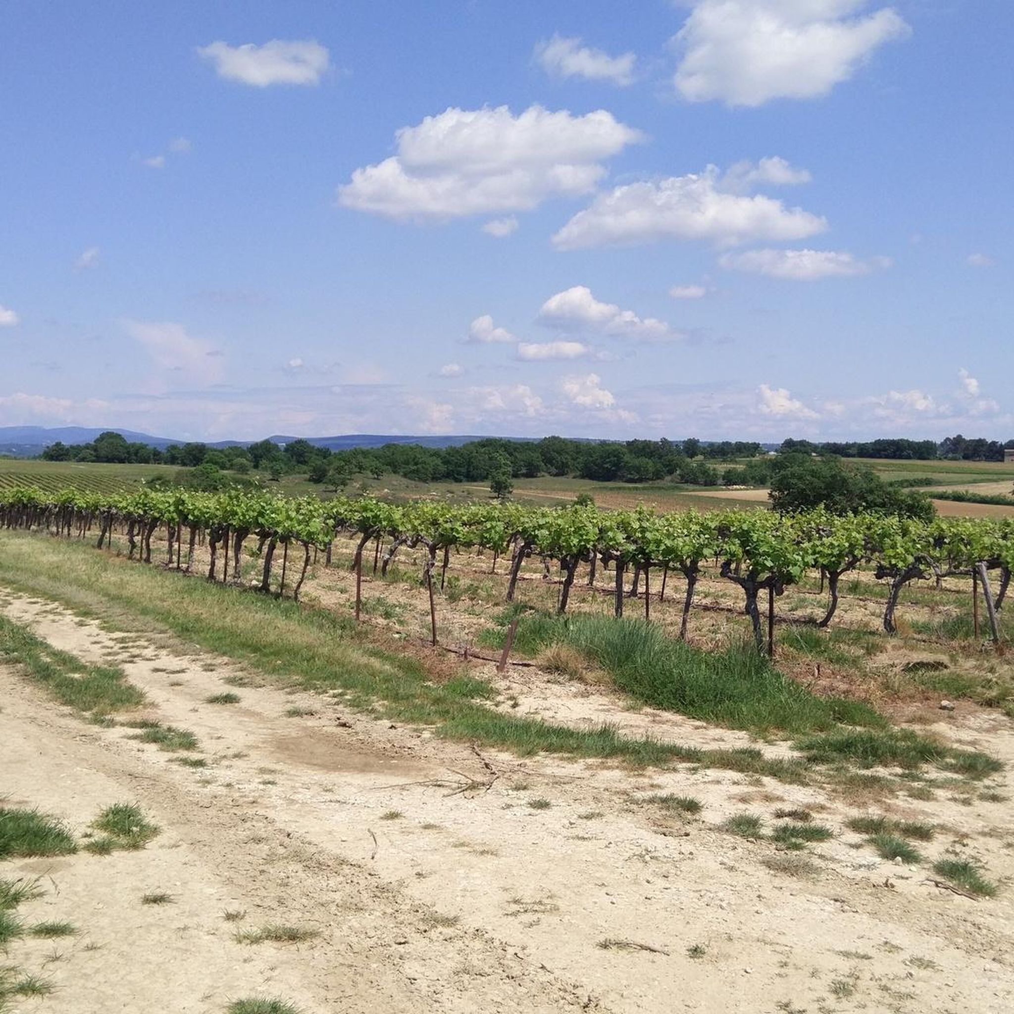
Hiking around Saint-Sauveur-De-Cruzières offers diverse natural landscapes situated between the Cévennes and the Mediterranean. The region is characterized by olive trees, green oaks, vineyards, and thyme, with the Claysse River flowing through the village. This area provides a variety of trails, from gentle paths to routes with significant elevation gains. The terrain includes features like gorges and unique woodlands, making it suitable for different hiking preferences.
Best hiking trails around Saint-Sauveur-De-Cruzières
- The most popular hiking route is Hiking junction –…
Last updated: July 8, 2026
4.4
(5)
10
hikers
10.6km
02:53
150m
150m
Moderate hike. Good fitness required. Easily-accessible paths. Suitable for all skill levels.
5.0
(4)
12
hikers
Moderate hike. Good fitness required. Easily-accessible paths. Suitable for all skill levels.

Sign up for free
4.9
(8)
11
hikers
4.38km
01:25
180m
190m
Easy hike. Great for any fitness level. Easily-accessible paths. Suitable for all skill levels.
3.5
(2)
8
hikers
Moderate hike. Good fitness required. Easily-accessible paths. Suitable for all skill levels.
3.0
(1)
8
hikers
Moderate hike. Good fitness required. Easily-accessible paths. Suitable for all skill levels.
Get access to more routes and recommendations from other explorers.
Sign up for free
Already have an account?
Our route recommendations are based on thousands of hikes, rides, and runs completed by other people on komoot.
Start today with a free account
Your next adventure awaits.
Login or Signup

Tips from the Community

Caution is important here. Walking sticks are a good help.
0
0
Part of the Ardèche hiking network
0
0
Good starting point for a walk 🚶
0
0
Part of the Cévennes hiking network.
0
0
Unmarked roads, so not part of the official hiking network, but beautiful and easily accessible unpaved roads
0
0
Part of the Cévennes hiking network
0
0
Part of the Cévennes hiking network
0
0
Part of the Cévennes hiking network
0
0
Frequently Asked Questions
How many hiking trails are available around Saint-Sauveur-De-Cruzières?
There are over 15 hiking routes available around Saint-Sauveur-De-Cruzières, catering to various skill levels. You'll find a good mix of easy and moderate trails to explore the region's diverse landscapes.
What kind of landscapes can I expect to see while hiking in Saint-Sauveur-De-Cruzières?
Hiking in Saint-Sauveur-De-Cruzières offers a rich variety of landscapes, from Mediterranean vegetation with olive trees, green oaks, vineyards, and thyme, to river valleys along the Claysse River. You'll also find unique woodlands and dramatic gorges in the wider area.
Are there easy hiking options suitable for beginners in Saint-Sauveur-De-Cruzières?
Yes, Saint-Sauveur-De-Cruzières offers several easy hiking options perfect for beginners or those looking for a relaxed stroll. For example, the Sauveur de Claysse Signpost loop from Saint-Sauveur-de-Cruzières is a 4.4 km trail that can be completed in about 1 hour 24 minutes.
Are there any circular walks starting from Saint-Sauveur-De-Cruzières?
Many of the trails in the area are circular, allowing you to start and end in the same location. A popular option is the Hiking junction – Nature Trail loop from Saint-Sauveur-de-Cruzières, which is 10.6 km long and explores the local natural environment.
What natural attractions are near the hiking trails in Saint-Sauveur-De-Cruzières?
The region boasts several significant natural attractions. The breathtaking Gorges de l'Ardèche and the unique Bois de Païolive are within a short distance. You can also find the Gorges du Chassezac, ideal for water activities, and the magical Font Vive with its clear, cold water.
Can I explore historical sites while hiking in Saint-Sauveur-De-Cruzières?
Yes, Saint-Sauveur-De-Cruzières itself offers historical points of interest. You can explore the ruins of a medieval castle, the chapel of Saint Privas with panoramic views, an active oil mill, and a 19th-century church. The 'Castellas' and a 14th-century priory also bear witness to the village's rich past. For nearby castles, consider visiting Château de Chastelas Ruins or Montalet Castle.
Are there any caves I can visit close to the hiking routes?
Yes, the area is known for its impressive cave systems. The Aven d'Orgnac Cave, a Grand Site de France, is about 14 km away. Another notable option is the Grotte de la Cocaliere, approximately 8 km distant, offering further underground exploration.
Are the hiking trails in Saint-Sauveur-De-Cruzières suitable for families with children?
Many trails in Saint-Sauveur-De-Cruzières are suitable for families, especially the easier, shorter loops. These paths often feature easily accessible terrain, allowing children to enjoy the natural surroundings. Look for routes with lower elevation gains for a more comfortable family experience.
What is the best season for hiking in Saint-Sauveur-De-Cruzières?
Thanks to its Mediterranean climate, Saint-Sauveur-De-Cruzières is excellent for hiking in spring and autumn when temperatures are mild and the vegetation is vibrant. Summer can be hot, making early morning or late afternoon hikes preferable, especially if you plan to combine your walk with a refreshing dip in a river.
What do other hikers enjoy the most about hiking in Saint-Sauveur-De-Cruzières?
The hiking routes in Saint-Sauveur-De-Cruzières are highly rated by the komoot community, with an average score of 4.5 stars from over 1,300 reviews. Hikers often praise the diverse natural landscapes, the well-marked paths, and the proximity to significant natural sites like the Gorges de l'Ardèche and Bois de Païolive.
Are there any moderate trails for more experienced hikers?
Absolutely. For those seeking a bit more challenge, there are several moderate trails with notable elevation changes. The Serre de la Vigne – Sauveur de Claysse Signpost loop from Saint-Sauveur-de-Cruzières is a popular 10.2 km path featuring varied terrain.
Can I find trails that offer opportunities for wild swimming?
While specific wild swimming spots on trails are not always marked, the region's rivers like the Claysse, Cèze, and Chassezac offer opportunities for refreshing dips. Font Vive is also described as a magical spot with clear, fresh, and very cold water, perfect for a refreshing experience after a hike.
Most popular routes around Saint-Sauveur-De-Cruzières
Most popular attractions around Saint-Sauveur-De-Cruzières

Get inspired with the komoot mobile app


Explore more
Browse the best Hikes in other regions.
