The best road cycling routes in Περιφερειακή Ενότητα Άρτας
4.9
(8)
90
riders
13
rides
Road cycling in Περιφερειακή Ενότητα Άρτας offers diverse terrain across its varied landscapes. The region features mountainous areas like the Tzoumerka Mountains, providing challenging climbs and descents. River valleys, such as those of the Arachthos and Louros rivers, offer routes with gentler gradients. Additionally, the Ambracian Gulf and lakes like Pournari and Ziros present opportunities for flat to gently rolling coastal and lakeside rides.
Best road cycling routes in Περιφερειακή Ενότητα Άρτας
- The most popular road cycling route is Basilica…
Last updated: August 21, 2026
4.5
(2)
20
riders
43.2km
01:48
200m
200m
Easy road ride. Great for any fitness level. Mostly well-paved surfaces and easy to ride.
13
riders
Easy road ride. Great for any fitness level. Mostly well-paved surfaces and easy to ride.

Sign up for free
5.0
(1)
7
riders
Moderate road ride. Good fitness required. Mostly well-paved surfaces and easy to ride.
5.0
(1)
5
riders
85.7km
04:15
1,070m
1,070m
Hard road ride. Very good fitness required. Mostly well-paved surfaces and easy to ride.
5.0
(1)
1
riders
58.3km
04:05
2,070m
2,070m
Hard road ride. Very good fitness required. Mostly well-paved surfaces and easy to ride.
3
riders
68.7km
03:29
1,140m
1,140m
Hard road ride. Very good fitness required. Mostly well-paved surfaces and easy to ride.
5.0
(1)
4
riders
Moderate road ride. Good fitness required. Mostly well-paved surfaces and easy to ride.
4
riders
48.2km
02:20
640m
640m
Moderate road ride. Good fitness required. Mostly well-paved surfaces and easy to ride.
Get access to more routes and recommendations from other explorers.
Sign up for free
Already have an account?
Our route recommendations are based on thousands of hikes, rides, and runs completed by other people on komoot.
Start today with a free account
Your next adventure awaits.
Login or Signup
Popular around Περιφερειακή Ενότητα Άρτας
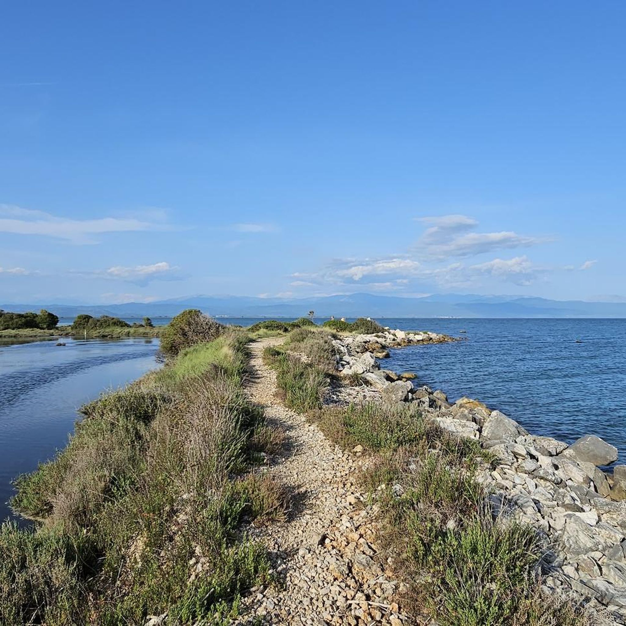
Road Cycling Routes in Amvrakikos National Park
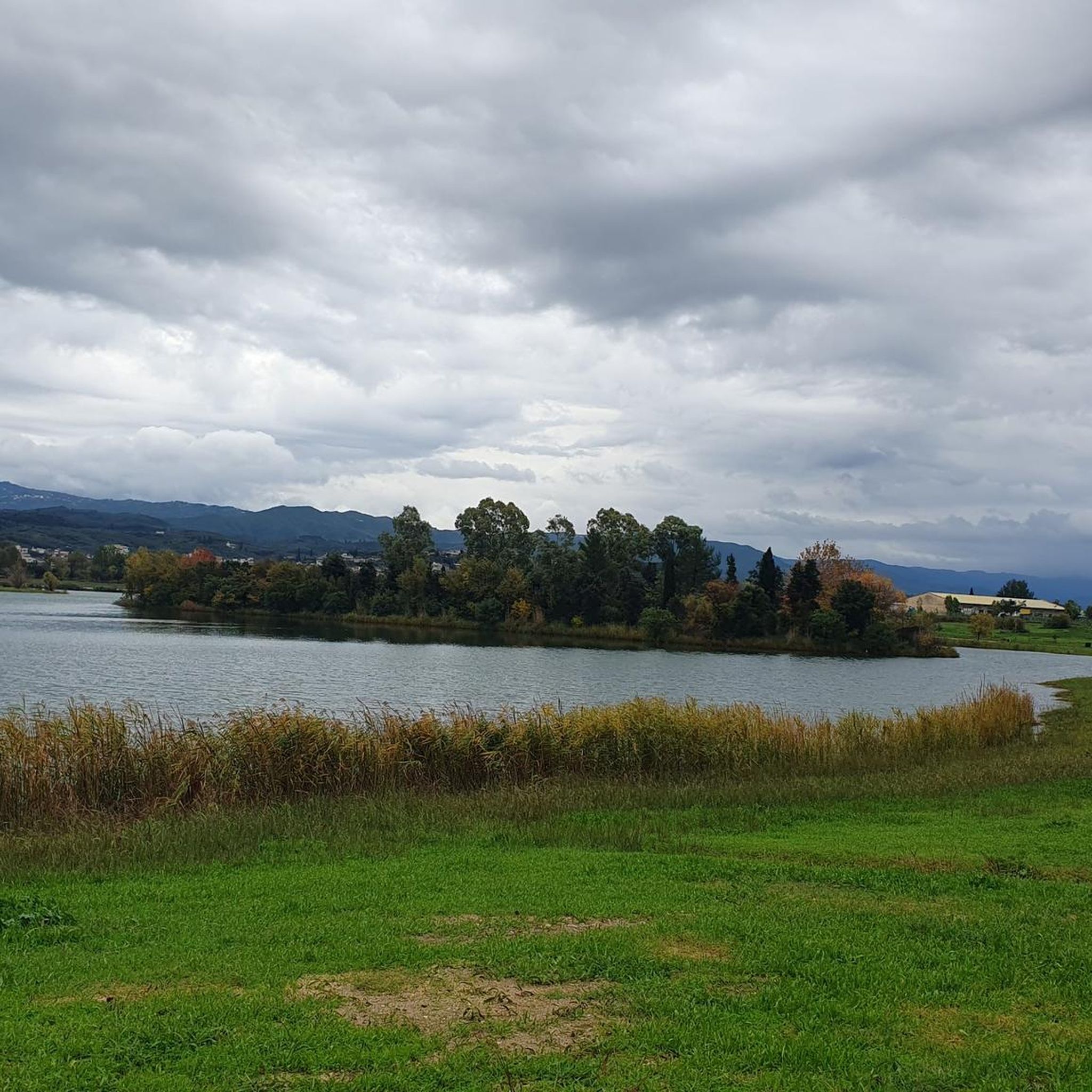
Road Cycling Routes around Pournari reservoir
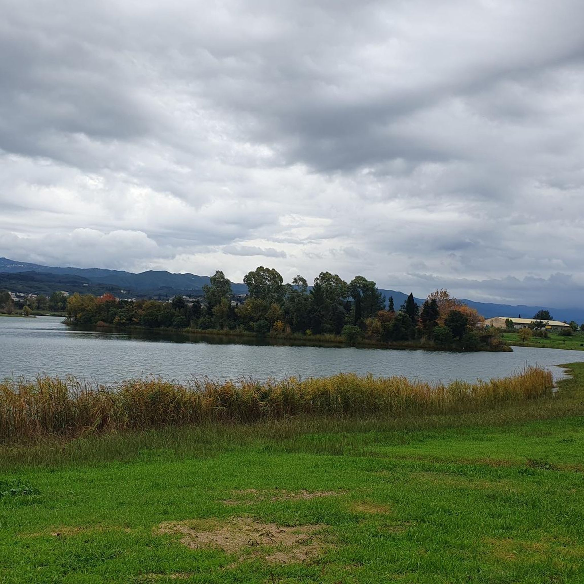
Road Cycling Routes in Ζυγός (Μακρυνιάδας-Κάτω Καλεντίνης
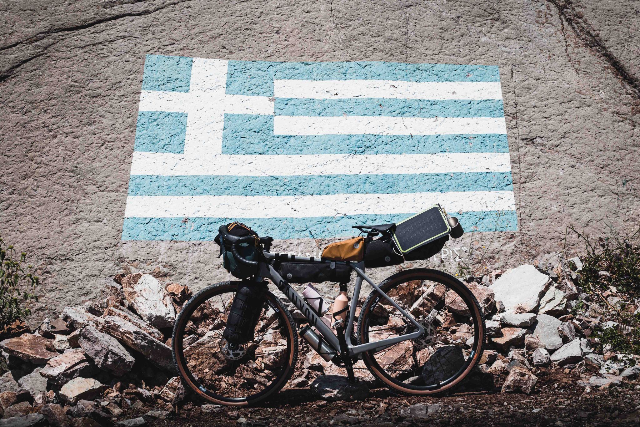
Bikepacking Griekenland: van berg tot zee
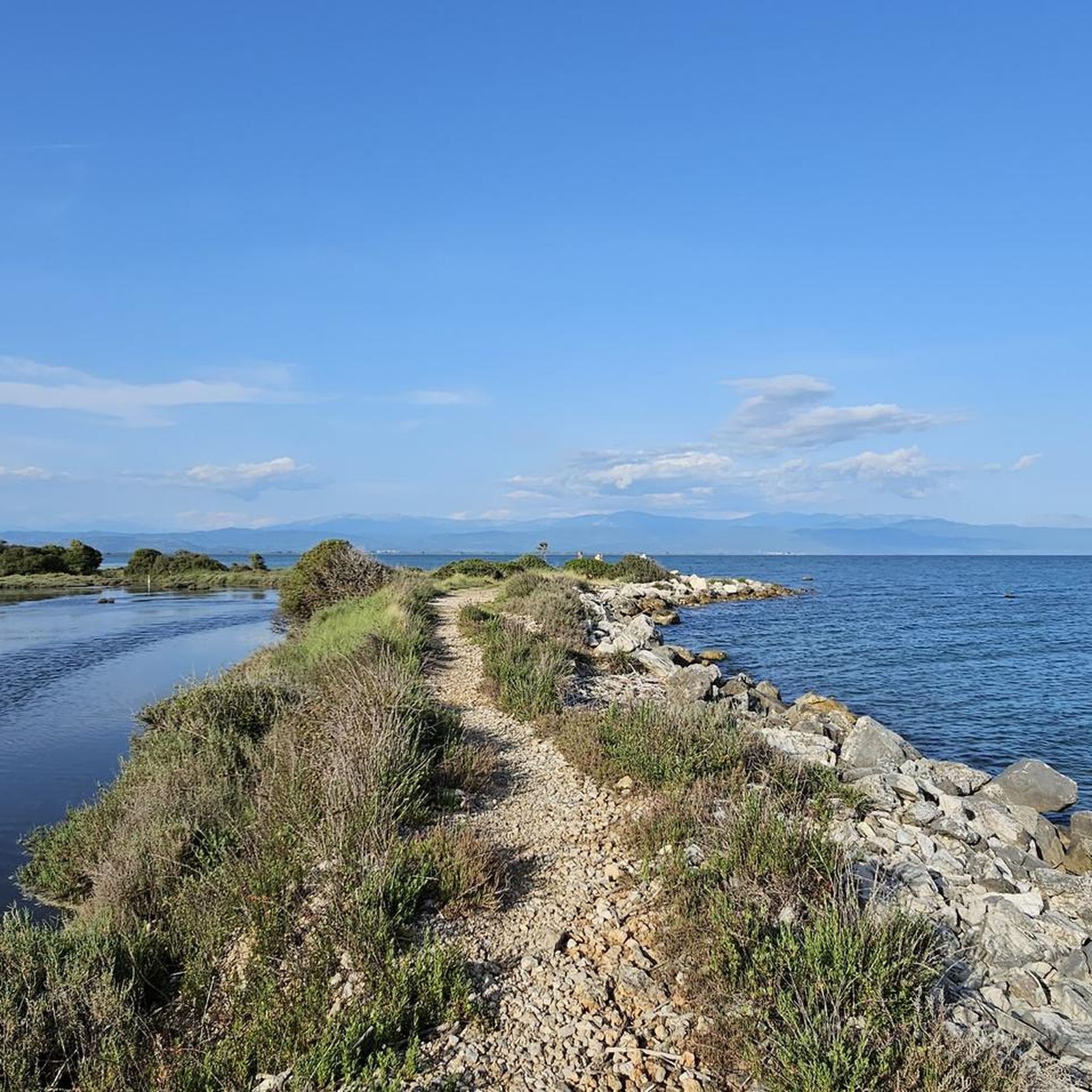
Hiking in Περιφερειακή Ενότητα Άρτας
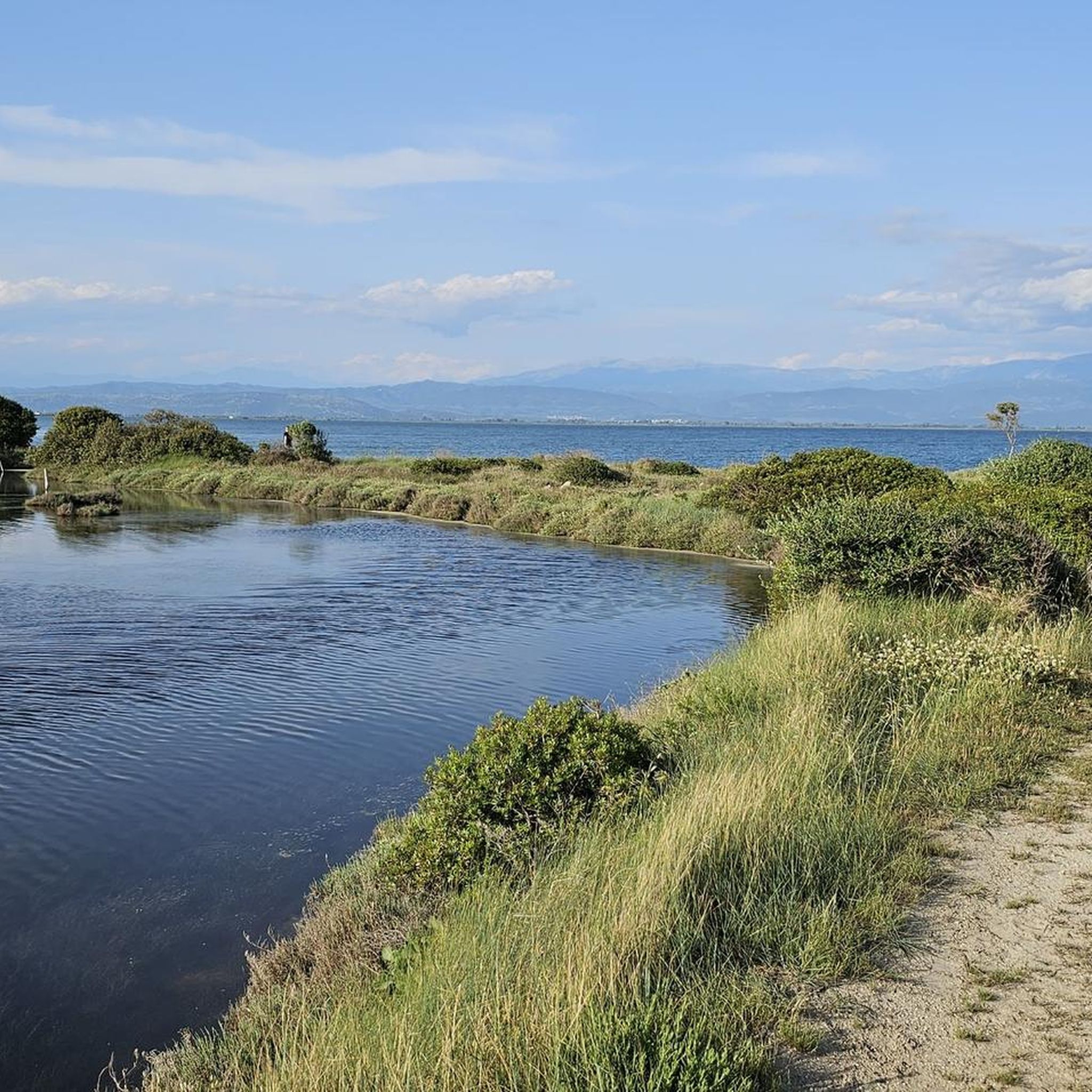
Running Trails in Περιφερειακή Ενότητα Άρτας
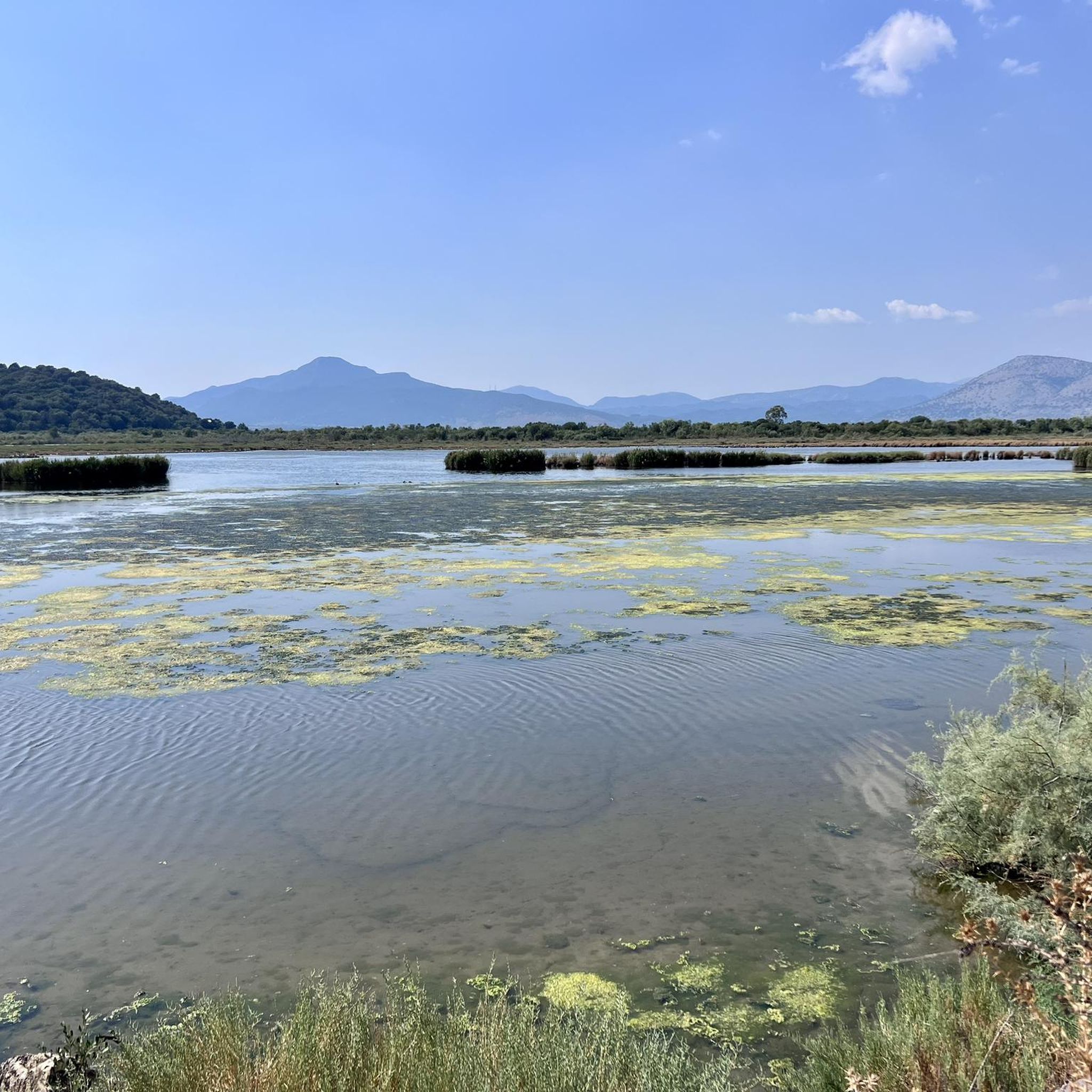
Cycling in Περιφερειακή Ενότητα Άρτας
Other adventures in Περιφερειακή Ενότητα Άρτας

Tips from the Community

The ancient city had two large cemeteries outside its city walls: the western and eastern necropolis. While parts of the larger western necropolis (often referred to as the "Street of Tombs") are excavated and visible today within the modern city area, the eastern necropolis extended along the eastern slopes of the Peranthi hill. The cemeteries were continuously used from the city's founding in the late 7th century BC (approx. 625 BC) by the Corinthians until the 1st century BC.
0
0
The remains of the Apollo temple date back to ancient Ambracia (the Corinthian colony located under present-day Arta). The most important finds from the excavations of the temple and the ancient city are exhibited in the nearby Archaeological Museum of Arta. Museum opening hours: Daily: 08:30 - 15:30 Closed on Tuesdays
0
0
The historic Feyzullah Mosque (Greek: Φεϋζούλ Τζαμί, Turkish: Feyzullah Camii). The structure is estimated to date from the 15th century. It was probably built at the same time as the Faik Pasha Mosque, the other surviving Ottoman place of worship in Arta. It is a classic Ottoman single-dome mosque (Type A). The square prayer hall has a side length of exactly 6.40 meters.
0
0

We've already encountered 10-20 highly aggressive dogs. They seem to live in old stables and guard their territory. We had to wait for a car to escort us past, alongside the dogs. Absolutely avoid!
0
0
Attacked and pursued by 7-8 aggressive street dogs - avoid this street from here westwards. Town generally dog-infested
0
0
Frequently Asked Questions
What types of terrain can I expect when road cycling in Περιφερειακή Ενότητα Άρτας?
Περιφερειακή Ενότητα Άρτας offers a diverse range of terrain for road cyclists. You'll find challenging climbs and descents in mountainous areas like the Tzoumerka Mountains, as well as gentler gradients along river valleys such as the Arachthos and Louros rivers. The Ambracian Gulf and lakes like Pournari and Ziros provide flat to gently rolling coastal and lakeside rides, suitable for more relaxed cycling.
Are there road cycling routes suitable for beginners or families in Περιφερειακή Ενότητα Άρτας?
Yes, the region offers several easy road cycling routes. For instance, the Basilica B (of Bishop Alkison) – House of Ekdikos Georgios loop from Preveza is an easy 27.5-mile (44.3 km) route with minimal elevation gain, perfect for relaxed rides. Another easy option is the Roadbike loop from Preveza, covering 43.1 km with similar gentle gradients. These routes are ideal for those seeking a less strenuous experience.
Where can I find challenging road cycling routes in the region?
For experienced cyclists seeking a challenge, the mountainous areas of Περιφερειακή Ενότητα Άρτας provide demanding routes. The House of Ekdikos Georgios – Cape Agios Thomas loop from Nicopolis is a difficult 57.2-mile (92.1 km) path with significant elevation changes. Another difficult option is the Winding Road in the Mountains loop from Pramanta, a 36.2-mile (58.2 km) trail leading through mountainous terrain with over 2,000 meters of ascent.
What historical landmarks or attractions can I see along road cycling routes?
The region is rich in historical sites. The famous Bridge of Arta is a significant historical monument often incorporated into local cycling events. You can also find Byzantine churches and other historical sites scattered throughout. For natural attractions, consider visiting the Tzoumerka Waterfall or the Ai Vlassis Cave. The Panagia Rodias Monastery also offers a cultural highlight.
Are there any scenic viewpoints along the road cycling routes in Περιφερειακή Ενότητα Άρτας?
Yes, especially in the mountainous areas. The Tzoumerka Mountains offer breathtaking views of wild valleys and rugged peaks. You can also find specific viewpoints like the View of Mount Lakmos, providing stunning panoramic vistas. Routes around the Ambracian Gulf also offer scenic coastal views.
What do other road cyclists enjoy most about cycling in Περιφερειακή Ενότητα Άρτας?
The area is highly rated by the komoot community, with an average score of 5.0 stars from over 6 reviews. Cyclists often praise the continuously changing landscape, which offers a plethora of possibilities for different cycling preferences, from challenging mountain roads to serene river valleys and coastal paths.
Are there any loop routes available for road cycling?
Yes, many routes in Περιφερειακή Ενότητα Άρτας are designed as loops, allowing you to start and finish at the same point. Examples include the easy Basilica B (of Bishop Alkison) – House of Ekdikos Georgios loop from Preveza and the more challenging Prytaneio of Amvrakia – Polyandrio of Amvrakia loop from Arta, which covers nearly 97 km with significant elevation.
What is the best time of year for road cycling in Περιφερειακή Ενότητα Άρτας?
While specific seasonal recommendations are not detailed, the diverse landscapes suggest that spring and autumn would offer ideal conditions with milder temperatures for both mountain climbs and coastal rides. Summer can be warm, especially in lower elevations, but mountain routes might provide cooler air. Winter might bring colder temperatures and potential snow in the higher Tzoumerka Mountains.
How many road cycling routes are available in Περιφερειακή Ενότητα Άρτας?
There are over 15 road cycling routes available in Περιφερειακή Ενότητα Άρτας on komoot, catering to various skill levels. This includes 3 easy routes, 8 moderate routes, and 4 difficult routes, ensuring options for every cyclist.
Are there any routes that combine natural beauty with historical sites?
Absolutely. Routes winding alongside the Arachthos River, for example, often pass near the historic Bridge of Arta, combining natural beauty with cultural landmarks. Many routes also traverse areas with Byzantine churches and other ancient ruins, allowing cyclists to immerse themselves in both nature and history.
Can I find routes near lakes or coastal areas for a different cycling experience?
Yes, the Ambracian Gulf offers predominantly flat to gently rolling terrain, perfect for relaxed cycling with scenic coastal views and opportunities for birdwatching. Additionally, routes circling Lake Pournari and Lake Ziros provide peaceful rides through natural surroundings with beautiful water views.
What are some moderate difficulty road cycling routes in the region?
For a moderate challenge, consider the Polyandrio of Amvrakia – Temple of Apollo Pythios Sotir loop from Φιλιππιάδα, which is 45.2 km long with over 570 meters of elevation gain. Another good option is the Temple of Apollo Pythios Sotir – Prytaneio of Amvrakia loop from Arta, a 49.2 km route with over 640 meters of ascent.
Most popular routes in Περιφερειακή Ενότητα Άρτας
Most popular attractions in Περιφερειακή Ενότητα Άρτας

Get inspired with the komoot mobile app


Didn’t find what you were looking for?
Check out more Road cycling routes throughout Περιφερειακή Ενότητα Άρτας below and find the perfect route in your destination.
Explore more
Browse the best Road cycling routes in other regions.
