The best running trails around Bray-Lès-Mareuil
4.5
(14)
1,930
runners
183
runs
Jogging routes around Bray-Lès-Mareuil, located in the Somme department of the Hauts-de-France region, offer varied terrain for runners. The area's elevation ranges from 4 to 104 meters, providing both flatter riverside paths and gentle ascents. The landscape is characterized by the River Doigt, River Bellifontaine, and the canalized Somme River, alongside open plains, wooded areas, and agricultural lands. Étang de l'Eauette, a 12-hectare pond, also provides tranquil paths for running.
Best jogging routes around Bray-Lès-Mareuil
- The most popular jogging route…
Last updated: July 1, 2026
68
runners
14.1km
01:42
290m
290m
Moderate run. Good fitness required. Mostly paved surfaces. Suitable for all skill levels.
27
runners
32.7km
03:57
670m
660m
Hard run. Very good fitness required. Mostly paved surfaces. Suitable for all skill levels.

Sign up for free
4.0
(1)
48
runners
11.3km
01:10
30m
30m
Moderate run. Good fitness required. Mostly paved surfaces. Suitable for all skill levels.
35
runners
13.2km
01:22
40m
40m
Moderate run. Good fitness required. Mostly paved surfaces. Suitable for all skill levels.
15
runners
Moderate run. Good fitness required. Mostly paved surfaces. Suitable for all skill levels.
Get access to more routes and recommendations from other explorers.
Sign up for free
Already have an account?
Our route recommendations are based on thousands of hikes, rides, and runs completed by other people on komoot.
Start today with a free account
Your next adventure awaits.
Login or Signup


Tips from the Community

It wasn't there at all today. It probably rained.... 🤔
0
0

The previous church of Pont-Rémy was built in the 15th century near the feudal castle. Its dilapidation led the municipality to decide to build a new place of worship in the center of the village. Construction lasted from 1867 to 1871.
0
0

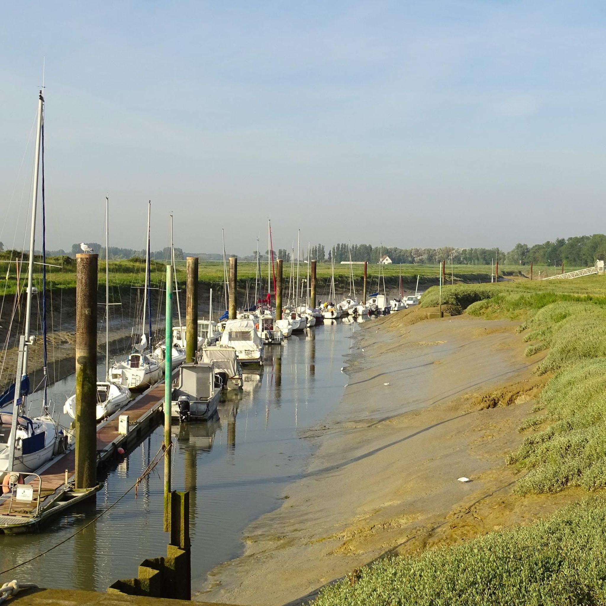
Houseboat where you can stop for refreshments.
1
0

The ruins of Pont-Rémy Castle are located on an island between the old Somme and the canalized Somme.
0
0

A dilapidated mansion with what was once a beauty.
2
0

Pretty building to see on the other bank from the towpath
1
0
A beautiful building in ruins welcomes us to the city.
2
0
Frequently Asked Questions
How many running routes are available in Bray-Lès-Mareuil?
Bray-Lès-Mareuil offers a wide selection of running routes, with over 180 trails available for exploration. These routes cater to various fitness levels, ranging from easy paths to more challenging runs.
What kind of terrain can I expect on the jogging routes around Bray-Lès-Mareuil?
The region features a diverse landscape, ideal for jogging. You'll find a mix of flatter riverside paths along the River Doigt, River Bellifontaine, and the canalized Somme River, as well as gentle ascents through open plains, wooded areas, and agricultural lands. The elevation ranges from 4 to 104 meters, providing varied terrain.
Are there easy running routes for beginners in Bray-Lès-Mareuil?
Yes, there are approximately 20 easy running routes around Bray-Lès-Mareuil, perfect for beginners or those looking for a more relaxed jog. These paths often feature flatter terrain, such as those found along the rivers and around the Étang de l'Eauette.
Can I find long-distance running trails in the area?
Absolutely. For those seeking longer runs, routes like the Bois Jean de Bray loop from Mareuil-Caubert offer significant distances, covering over 32 kilometers (20 miles) and providing a substantial challenge.
What scenic attractions can I see while jogging in Bray-Lès-Mareuil?
Many running routes incorporate beautiful natural and historical sights. You can jog alongside the picturesque Somme Valley, pass by the tranquil Eaucourt-sur-Somme Castle, or enjoy views of the 18th-century Château d'Epagne. The area also features the Long Castle and the unique environment of the canalized Somme River.
Are there running routes that pass by castles or historical sites?
Yes, several routes offer glimpses of historical landmarks. For instance, the View of Epagne castle loop from Eaucourt-sur-Somme provides views of the Château d'Epagne. You can also find routes that pass by Eaucourt-sur-Somme Castle and the Long Castle, adding a cultural dimension to your run.
Are there running routes along waterways or canals?
Indeed. The region is rich in waterways. You can enjoy runs along the River Doigt, River Bellifontaine, and especially the canalized Somme River. The The Somme canalised – The Canalized Somme loop from Eaucourt-sur-Somme is a prime example, offering a unique environment alongside the canal.
What do other runners say about the trails in Bray-Lès-Mareuil?
The running routes in Bray-Lès-Mareuil are highly regarded by the komoot community, boasting an average rating of 4.7 stars from 19 reviews. Over 2,100 runners have explored the varied terrain, often praising the diverse landscapes and well-maintained paths.
Are there challenging running routes for experienced runners?
For experienced runners seeking a challenge, Bray-Lès-Mareuil offers approximately 30 difficult routes. These include trails with significant elevation changes or longer distances, such as the Running loop from Épagne-Épagnette, which covers over 15 kilometers (9.4 miles) across open plains.
Are there any circular running routes in Bray-Lès-Mareuil?
Yes, many of the running routes in Bray-Lès-Mareuil are designed as circular loops, allowing you to start and finish at the same point. Examples include the The Somme canalised – View of Epagne castle loop from Érondelle and the Bois Jean de Bray loop from Mareuil-Caubert.
Is public transport available to reach the running routes?
While specific public transport links directly to every trailhead may vary, the region is accessible. It's advisable to check local bus schedules or regional train services to nearby towns like Mareuil-Caubert or Eaucourt-sur-Somme, from which many routes begin.
When is the best time of year for jogging in Bray-Lès-Mareuil?
The varied topography and natural features make Bray-Lès-Mareuil suitable for jogging across multiple seasons. Spring and autumn offer pleasant temperatures and vibrant scenery, while summer provides longer daylight hours. Even winter can be enjoyable on the flatter riverside paths, though conditions may vary.
Most popular routes around Bray-Lès-Mareuil
Most popular attractions around Bray-Lès-Mareuil

Get inspired with the komoot mobile app


Explore more
Browse the best Running Trails & Routes in other regions.
