The best road cycling routes around Bray-Lès-Mareuil
4.5
(53)
2,374
riders
318
rides
Road cycling routes around Bray-Lès-Mareuil offer a diverse terrain, ranging from 4 to 104 meters in elevation, suitable for various cycling preferences. The area is characterized by its network of waterways, including the River Doigt and the River Bellifontaine, and its proximity to the Somme Valley. Cyclists can find both flatter paths along rivers and gentle ascents, with well-paved surfaces providing accessible riding conditions. The region's topography allows for routes that combine scenic beauty with moderate physical challenge.
Best road…
Last updated: July 9, 2026
3.9
(12)
223
riders
79.7km
03:20
440m
440m
Moderate road ride. Good fitness required. Mostly well-paved surfaces and easy to ride.
5.0
(2)
31
riders
66.5km
03:34
650m
650m
Moderate road ride. Good fitness required. Some segments of this route may be unpaved and difficult to ride.

Sign up for free
5.0
(1)
27
riders
65.0km
02:54
520m
520m
Moderate road ride. Good fitness required. Some segments of this route may be unpaved and difficult to ride.
20
riders
54.4km
02:30
140m
140m
Moderate road ride. Good fitness required. Some segments of this route may be unpaved and difficult to ride.
4.0
(1)
18
riders
Easy road ride. Great for any fitness level. Mostly well-paved surfaces and easy to ride.
Get access to more routes and recommendations from other explorers.
Sign up for free
Already have an account?
Our route recommendations are based on thousands of hikes, rides, and runs completed by other people on komoot.
Start today with a free account
Your next adventure awaits.
Login or Signup


Tips from the Community

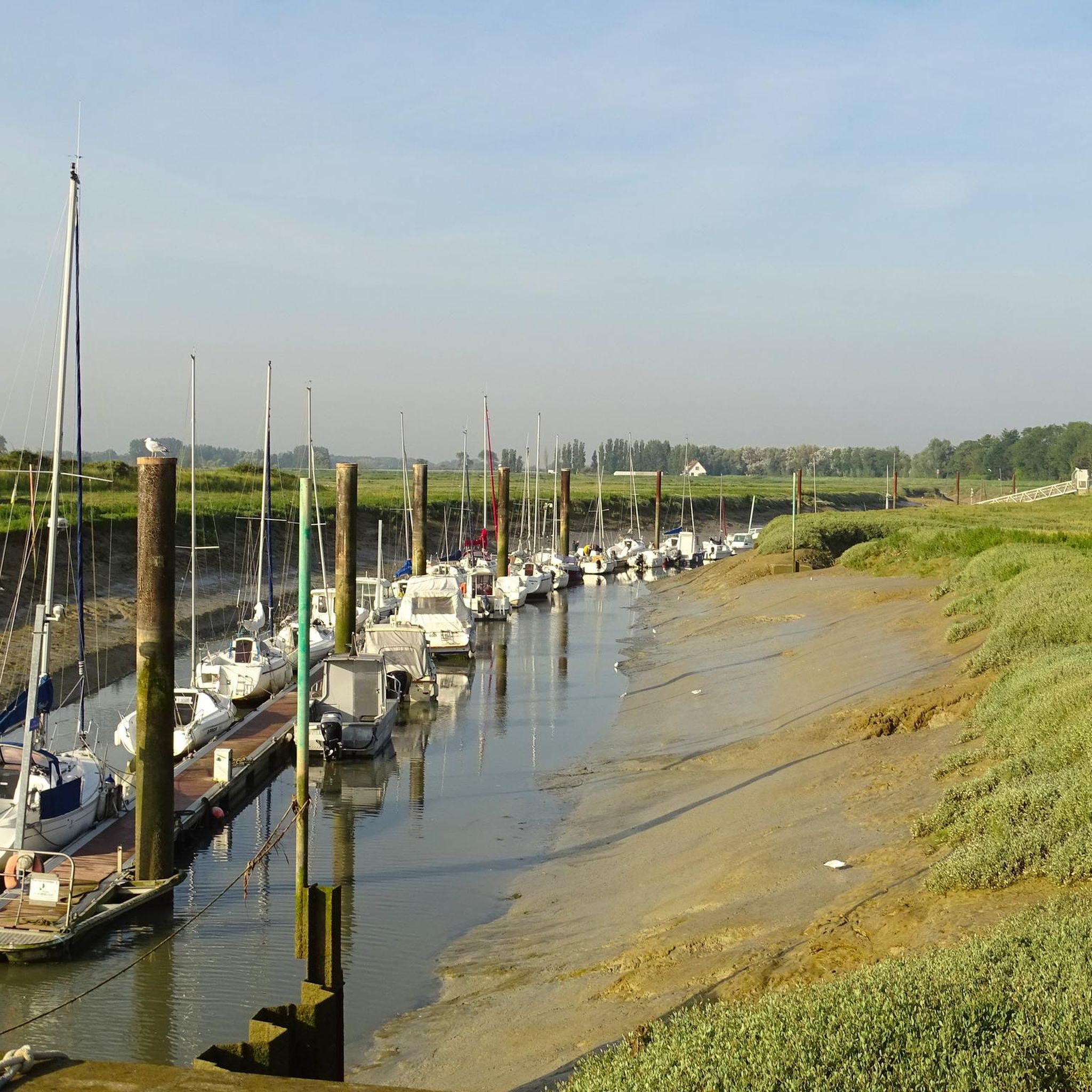
Very worthwhile canal, recommended!
0
0

The Marais d’Epagnette is characterized by vast areas of wet meadows and low-lying marshes, maintained for decades by extensive grazing. The non-grazed areas of the Grand Marais d’Epagne are dominated by vegetation of tall grasses mixed with reeds (reedbeds), progressively colonized by willow thickets. Not only do these significant open (non-wooded) areas offer unique landscapes, but furthermore, the diversity of the environments and the management carried out to date allow for the expression of exceptional flora and fauna, bringing together numerous protected, rare, and threatened species at the scale of Picardy or even France. Numerous uses – and users! – coexist in the marsh (grazing, hunting, fishing, walking, mowing, wood cutting…), a significant challenge to reconcile all these practices, while preserving this exceptional natural heritage. The Conservatoire d’espaces naturels has been working since 2008 on the preservation of this site in partnership with the municipality, the Conservatoire de l’espace littoral et des rivages lacustres, and private owners. These 150 ha of marsh are crossed by a path that allows visitors to see, throughout the seasons, the Fritillaria pintade, a protected plant, or the White Stork. https://www.cen-hautsdefrance.org/site/les-marais-depagne-epagnette/
0
0
A very worthwhile place to visit.
0
0

Very large equipped rest area with snack bar opposite
1
0

At least on the cobblestones, the mountain bike pays off :-)
0
0
Great nature away from the hustle and bustle of the coast.
0
0
Frequently Asked Questions
How many road cycling routes are available around Bray-Lès-Mareuil?
There are over 300 road cycling routes around Bray-Lès-Mareuil, offering a wide variety of options for different skill levels and preferences. More than 1900 road cyclists have already explored this area using komoot.
What kind of terrain can I expect when road cycling in Bray-Lès-Mareuil?
The region around Bray-Lès-Mareuil features varied topography, with elevations ranging from 4 to 104 meters. You'll find a mix of flatter paths, especially along the numerous waterways like the River Doigt and River Bellifontaine, and gentle ascents. The well-paved surfaces make for accessible riding conditions, suitable for various cycling preferences.
Are there any easy road cycling routes for beginners or casual riders?
Yes, Bray-Lès-Mareuil offers several easy road cycling routes. For instance, the Belfry – Town Hall loop from Pont-Remy is an easy 25.2 km path with minimal elevation gain, perfect for a relaxed ride. Another option is The Somme River – Around Long Lock loop from Pont-Remy, a 42.3 km trail through tranquil riverside environments.
What are the best times of year for road cycling in Bray-Lès-Mareuil?
The region's moderate climate generally makes spring, summer, and early autumn ideal for road cycling. These seasons offer pleasant temperatures and less chance of adverse weather, allowing you to fully enjoy the scenic routes along the Somme Valley and its surroundings.
Are there any long-distance road cycling options near Bray-Lès-Mareuil?
Yes, the area provides access to longer routes. A notable option is the Somme Path – Notre-Dame d'Amiens Cathedral loop from Pont-Remy, which is a 79.7 km route offering extensive views along the Somme River. Additionally, the broader Somme Valley Cycle Route, accessible from various points, offers approximately 160 km of cycling paths along the Canal de la Somme.
What historical landmarks or natural features can I see along the road cycling routes?
Road cycling routes around Bray-Lès-Mareuil often pass by significant landmarks and natural features. You can explore the tranquil Somme Valley, or cycle near historical sites like Eaucourt-sur-Somme Castle. Other points of interest include the Long Castle and the Long Hydroelectric Power Plant.
Are there any circular road cycling routes available?
Many of the road cycling routes in the area are designed as loops, allowing you to start and end at the same point. Examples include the Royal Abbey of Saint-Riquier loop from Pont-Remy and the La Péniche de Jessy loop from Eaucourt-sur-Somme, providing convenient options for exploring the region.
What do other road cyclists enjoy most about road cycling in Bray-Lès-Mareuil?
The area is highly rated by the komoot community, with an average score of 4.5 stars from over 40 reviews. Reviewers often praise the diverse terrain, the peaceful rides along the Somme River, and the opportunity to combine physical activity with the exploration of historical landmarks and serene natural environments.
Is the area suitable for family-friendly road cycling?
Yes, the region offers routes suitable for families. Many sections along the Somme Valley Cycle Route are relatively flat and well-maintained, providing a safe and enjoyable experience for cyclists of all ages. Look for routes marked as 'easy' for the most family-friendly options.
Can I find routes that incorporate the Baie de Somme Regional Natural Park?
While Bray-Lès-Mareuil is in the vicinity of the Baie de Somme Regional Natural Park, dedicated road cycling routes directly within the park might be limited. However, cycling along the Somme River and its marshes provides unique landscapes that are part of the wider natural beauty of the region, offering a taste of the park's environment. For more information on the park, you can visit Hauts-de-France Tourism.
Are there any routes that offer views of the Étang de l'Eauette?
The Étang de l'Eauette, a 12-hectare pond, is a key natural feature in the area. While specific komoot routes might not explicitly highlight it, its tranquil setting makes it a picturesque spot that can be incorporated into cycling excursions, providing opportunities for scenic breaks and enjoying the local natural beauty.
Most popular routes around Bray-Lès-Mareuil
Most popular attractions around Bray-Lès-Mareuil

Get inspired with the komoot mobile app


Explore more
Browse the best Road cycling routes in other regions.
