4.8
(89)
10,362
riders
286
rides
Mountain biking in Arkansas offers diverse terrain across its natural landscapes, including the rugged Ozark and Ouachita Mountains. The region features extensive trail networks winding through dense forests, alongside scenic rivers, and around picturesque lakes. This varied geography provides a range of riding experiences, from challenging climbs to flowy singletrack.
Last updated: May 12, 2026
29
riders
6.60km
00:37
140m
90m
Embark on the Traverse and Mother Necessity Loop for an easy mountain biking adventure through the forested trails of Handcut Hollow. This 4.1-mile (6.6 km) route, with a gentle 448 feet (136 metres) of elevation gain, offers a fun, gravity-oriented ride that you can complete in about 36 minutes. As you navigate the Traverse Loop section, you'll encounter numerous tight switchbacks, while the Mother Necessity trail presents a more technical, hand-built climb featuring "baby head rocks" and loose rock. Keep an eye out for unique art pieces integrated along the trails, adding a distinctive visual element to your ride, and you'll even pass by the historic Valley View Schoolhouse.
To begin your ride, head to the Handcut Hollow Trailhead, which offers convenient access and likely parking for your vehicle. It's a straightforward starting point for this loop. Be aware that the Mother Necessity climb can become quite muddy and have more loose rock after rain, so it's wise to plan your visit for drier conditions to ensure the best trail experience. Checking local weather forecasts before you go will help you avoid any unpleasant surprises.
This mountain biking loop is nestled within Bentonville's Handcut Hollow MTB Park, an area known for its well-maintained and engaging trail networks. The design of the Traverse and Mother Necessity Loop specifically caters to mountain bikers looking for a dynamic yet accessible ride. The inclusion of unique art pieces along the route, alongside the historic Valley View Schoolhouse, adds a cultural and visual layer to your outdoor activity, making it more than just a ride through the woods.
4.3
(4)
422
riders
13.9km
01:13
140m
140m
Oscar's Loop offers an easy mountain biking experience through a serene forest setting. You will ride through tall trees where sunlight filters through dense green leaves, creating a peaceful atmosphere. The 8.7-mile (13.9 km) route features a mix of smooth singletrack, some rocky sections, and fun technical features like berms and bridges. With an elevation gain of 444 feet (135 metres), you can expect to complete this loop in about 1 hour and 12 minutes.
Planning your visit to Oscar's Loop is straightforward, as it is a family-friendly trail within the Coler Mountain Bike Preserve. You are welcome to bring Class 1 e-bikes, and dogs are permitted on a leash, making it accessible for many riders. The preserve itself provides amenities such as The Homestead at Coler Preserve, which features a cafe nestled in the woods. This makes it easy to grab a refreshment before or after your ride, enhancing your overall experience.
This route is a key connector within the Coler Mountain Bike Preserve, leading you directly to "The Hub." This central point allows you to access other trails and explore more of the preserve's network. Oscar's Loop stands out as a well-maintained and enjoyable option for those looking for a relaxed yet engaging ride in the Bentonville area.

Sign up for free
5.0
(5)
413
riders
16.6km
01:23
190m
190m
The Slaughter Pen loop offers an easy mountain biking experience, covering 10.3 miles (16.6 km) with a manageable 611 feet (186 metres) of elevation gain. You can expect to complete this route in about 1 hour and 22 minutes, making it a great option for a quick ride. As you pedal, you will encounter diverse terrain, winding through natural landscapes and even integrated urban areas. Keep an eye out for unique trail art and features, including the notable Castle, which serves as a central point for many descents.
Planning your visit to the Slaughter Pen loop is straightforward, as the trail system is well-integrated into Bentonville. You can access the route directly from town, and parking is generally available near various trailheads. This convenient setup makes it easy to begin your ride without hassle. If you use an e-bike, Class 1 pedal-assist models are permitted on these trails.
This route provides an excellent introduction to the acclaimed Slaughter Pen Trails, showcasing the region's blend of natural beauty and urban integration. You will experience glimpses of classic Ozark ridgelines and deep river valleys as you ride. The trail system is known for its creative features and thoughtful design, setting it apart as a significant destination for mountain biking in the area.
5.0
(1)
243
riders
35.8km
03:13
450m
460m
The Back 40 Loop offers a diverse mountain biking experience, covering 22.2 miles (35.8 km) with 1485 feet (453 metres) of elevation gain. This moderate route, taking about 3 hours and 12 minutes, winds through dense woods, open meadows, and even crosses a golf course. You will encounter natural rock features, including limestone gardens and bluffs, and pass by the impressive "hanging bridge" cut into a rock face. The trail provides a remote Ozark backcountry feel, despite its location, offering scenic lake views and sections through fragrant pine groves.
Prepare for the Back 40 Loop's rocky terrain by ensuring you have durable tires and a repair kit to prevent flats. While there are no specific seasonal closures, you might find helpful "trail angel" amenities like water stations and chairs provided by local landowners along the way. Parking is generally available at various trailheads throughout the Bella Vista community, making access convenient for your ride.
Located in Bella Vista, Arkansas, this cross-country singletrack is known for its engaging and varied character. Despite its proximity to residential areas, the route successfully maintains a sense of the remote Ozark backcountry. You will enjoy a journey that combines natural beauty with exciting riding, making it a standout option for mountain bikers in the region.
4.0
(3)
196
riders
31.0km
02:45
340m
340m
Explore the Hobbs State Park eastside loops, a moderate mountain biking route that takes you through the beautiful Ozark wilderness. This trail offers 19.3 miles (31.0 km) of fast, flowy cross-country singletrack, where you will gain 1108 feet (338 metres) of elevation. You can expect to complete this ride in about 2 hours and 44 minutes, winding through hilly forests of oak, hickory, and shortleaf pine.
For your visit, the eastside trails are easily accessed from the Hobbs State Park Visitor Center, which provides restrooms and clear signage to help you navigate. Parking is readily available at the visitor center, making it convenient to start your ride. If you are planning an extended adventure, you can even find primitive bike-in campsites along the Karst Loop.
As you ride, a notable highlight is the Karst Trail, which runs alongside Beaver Lake. This section provides incredible views of the water, rocky ledges, and unique limestone walls, showcasing the natural beauty of the area. The route is known for its quality singletrack, offering a rewarding experience for mountain bikers looking to immerse themselves in the scenic landscape.
114
riders
14.5km
01:21
240m
240m
Embark on the Blowing Springs and Wonderland Loop for an easy mountain biking adventure that winds through wooded areas and along scenic cliff sides. This 9.0-mile (14.5 km) route offers a diverse experience, with an elevation gain of 787 feet (240 metres) that you can complete in about 1 hour and 20 minutes. You will encounter natural attractions like waterfalls and springs, and a notable feature is the 30-foot bridge descending from a rock shelf. The trail's atmosphere is engaging, perfect for a relaxed ride.
When planning your ride, remember that the trails in this area are often open year-round, but it is always wise to check local weather conditions before heading out. This ensures you are prepared for any changes. The route is easily accessible within Blowing Springs Park, making it convenient for a quick outing. After you finish your ride, you can find amenities such as food and drinks at The Gear Garden, located right in the park, which is a great spot to relax and refuel.
What truly sets this route apart is the unique
109
riders
40.6km
03:44
590m
600m
Get ready to mountain bike the Tunnel Vision Loop, a moderate route spanning 25.2 miles (40.6 km) with 1943 feet (592 metres) of elevation gain. You can expect to complete this ride in about 3 hours and 43 minutes. As you pedal, you'll pass through diverse landscapes, from bluffs and limestone rock formations to open meadows. The trail also skirts Little Sugar Creek, offering glimpses of lake views and winding through peaceful pine tree groves. A highlight is riding through the unique namesake tunnels, built from 10-foot diameter pipes, providing a memorable experience.
This trail is designed for year-round enjoyment, as it holds up well even in wet conditions, so you don't have to worry about seasonal closures. Accessing the Tunnel Vision Loop is generally straightforward, making it easy to begin your adventure. You can plan your visit knowing that the route is ready for you whenever you are.
The Tunnel Vision Loop is a key part of the larger Little Sugar and Oz Trails network, offering excellent opportunities to extend your ride. You can connect with other routes like Down Under Loop and Land Line to customize your adventure. This trail provides an engaging intermediate-level experience within a well-developed system.
5.0
(1)
109
riders
23.3km
01:40
370m
370m
Embark on the Fossil Flats Loop, a moderate mountain biking route spanning 14.5 miles (23.3 km) through Devil's Den State Park. You will navigate pretty woods, enjoying picturesque creek views and impressive rock formations along the way. The trail features scenic bluff sections that open up to expansive vistas of Lee Creek, offering a rewarding experience. Expect to gain 1210 feet (369 metres) in elevation, with an estimated riding time of 1 hour and 40 minutes.
To plan your ride, remember that the Fossil Flats Loop is situated within Devil's Den State Park, meaning standard state park access rules apply. You can usually find parking conveniently at the park's designated trailheads, making your start straightforward. Be prepared for numerous creek and stream crossings; these can be quite wet, especially after recent rainfall, so choose your gear accordingly. Checking local weather conditions before you head out is always a good idea.
This route holds a special place in Arkansas's mountain biking history, often recognized as the birthplace of the sport in the state. As you ride, keep an eye out for the unique exposed flat rock in the creek bed, where many fossils are visible, giving the trail its distinctive name. This blend of natural beauty and historical significance makes the Fossil Flats Loop a notable adventure for any mountain biker.
75
riders
24.9km
02:49
280m
290m
Back 40: Rago and The Ledges Loop offers a difficult mountain biking challenge, blending cross-country and all-mountain styles. You will traverse beautiful Arkansas landscapes, often feeling remote even near developed areas. The Ledges section is a highlight, winding along exposed rock ledges and ravines, sometimes high above a dry creek bed, providing scenic views. Expect a mix of flow sections, berms, rock gardens, and various jumps and drops throughout this 15.5-mile (24.9 km) route, which gains 926 feet (282 metres) in elevation and typically takes around 2 hours and 48 minutes to complete.
Planning your ride on this trail is straightforward as it is well-maintained, reflecting significant effort in its construction and erosion prevention. The route is part of the extensive OZ Trails network in Northwest Arkansas, offering many connection possibilities if you wish to extend your adventure. After your ride, you can find nearby amenities like The Gear Garden Beer Garden for refreshments.
This loop is a challenging experience within Bella Vista's Back 40 Trail System, known for its varied terrain. The Ledges section, in particular, sets it apart with its unique geological features and scenic overlooks. It is a prime example of the high-quality mountain biking trails available in the region, drawing riders looking for both technical challenges and natural beauty.
5.0
(4)
64
riders
14.5km
01:13
170m
170m
Get ready for an easy mountain biking adventure on the Controlled Burn (Blue) Trail, a 9.0 miles (14.5 km) route that winds through the scenic Ozark forest. You will gain 556 feet (169 metres) in elevation, and the ride typically takes about 1 hour and 13 minutes. Expect a fun experience with winding loops, swooping bridges, and playful "gravity cavities" that add to the flow as you ride, offering glimpses of the spring-fed Lake Atalanta.
This trail is part of the larger Lake Atalanta mountain bike network, so you will find clear signage and well-maintained paths. The route is designated as one-way only, which helps ensure a smooth and safe experience for everyone on the trail. Plan your visit to enjoy the natural beauty of the area, and consider starting your ride earlier in the day to make the most of the park's amenities.
The Controlled Burn (Blue) Trail stands out as a well-managed part of the extensive Lake Atalanta system, maintained by the City of Rogers, AR - Parks and Recreation. This commitment to upkeep means you can count on a quality ride. It offers a straightforward yet engaging experience, making it a great option if you are looking to explore the region's mountain biking offerings without overly challenging terrain.
Get access to more routes and recommendations from other explorers.
Sign up for free
Already have an account?
Our route recommendations are based on thousands of hikes, rides, and runs completed by other people on komoot.
Start today with a free account
Your next adventure awaits.
Login or Signup
Popular around Arkansas
MTB Trails in Benton County
MTB Trails in Washington County
MTB Trails in Ozark-St. Francis National Forest
MTB Trails in Garland County
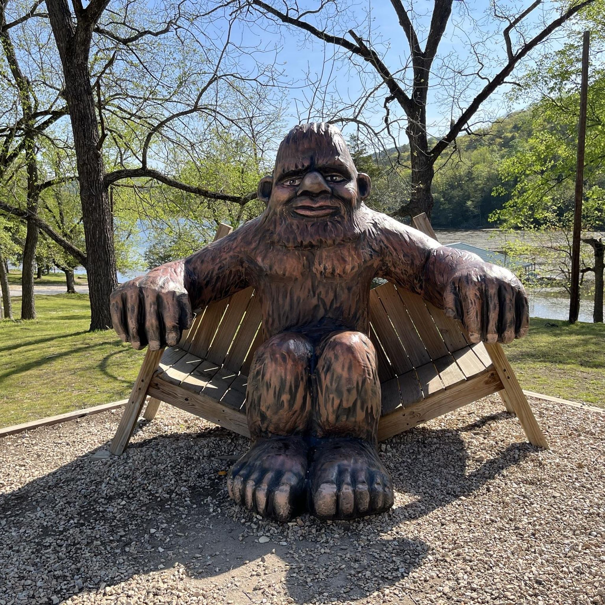
MTB Trails in Carroll County
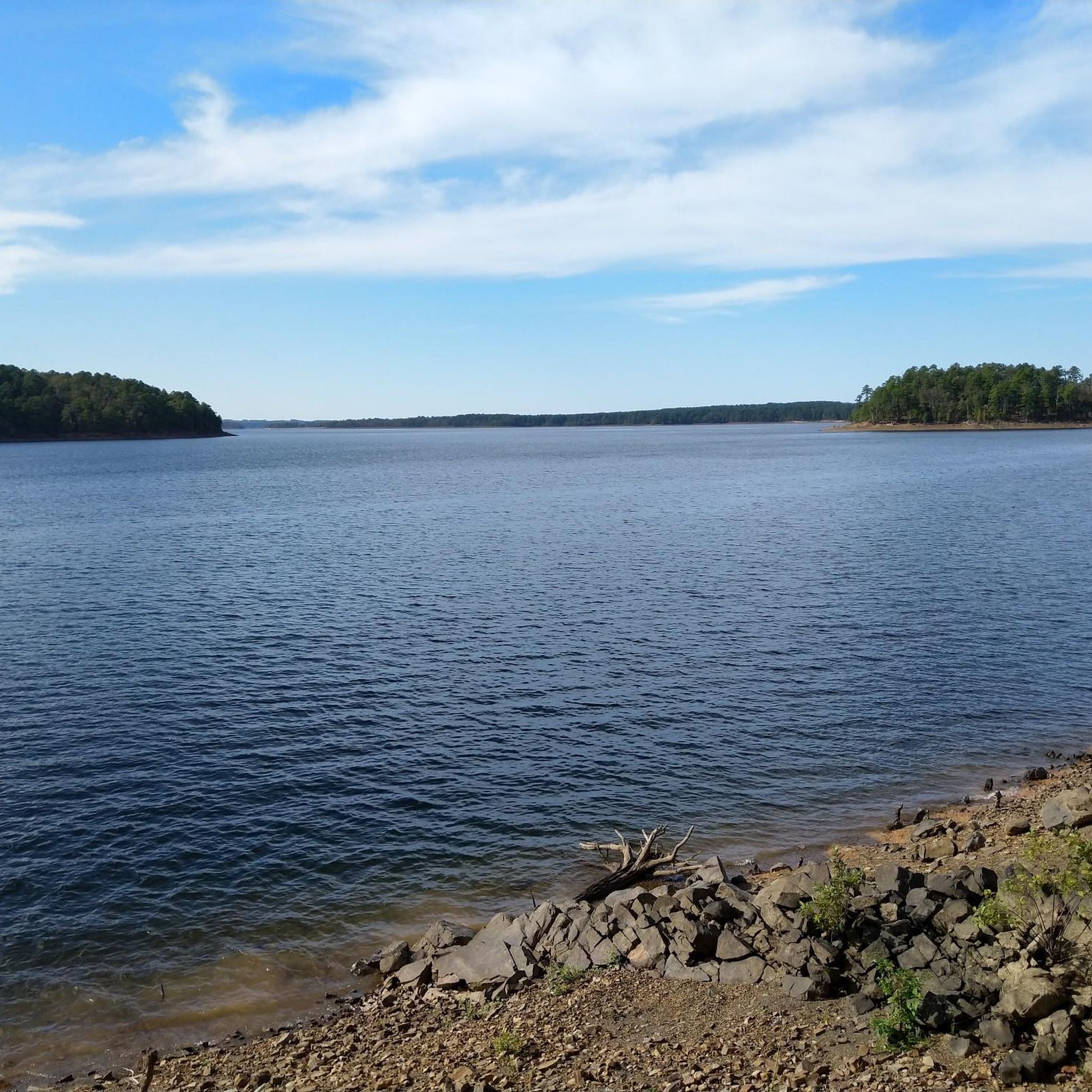
MTB Trails in Pulaski County
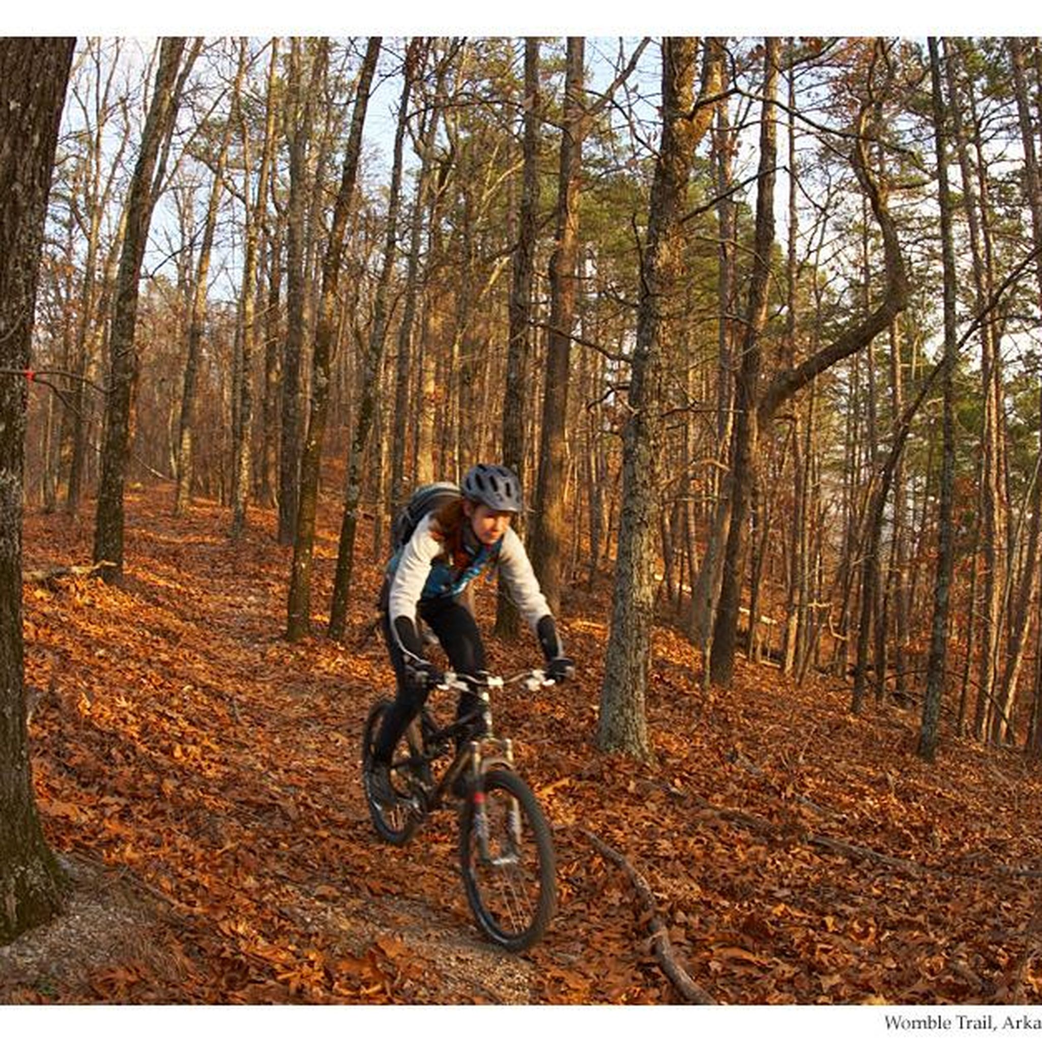
MTB Trails in Ouachita National Forest
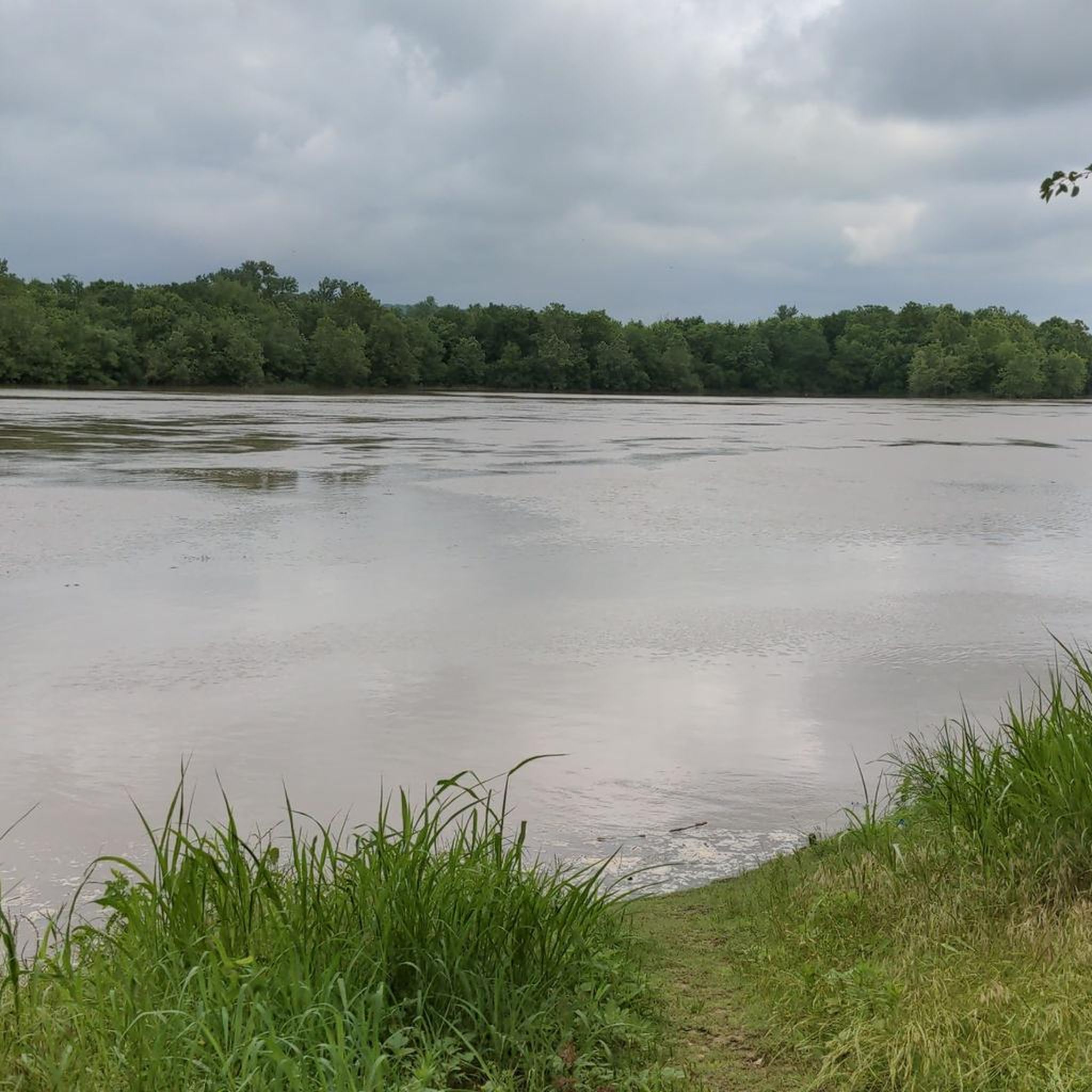
MTB Trails in Madison County
MTB Trails in Montgomery County
MTB Trails in Crawford County
You can't ride Wonderland without hitting the RV
0
0
Lake Brittany Dam sits on a small, north-flowing tributary to Pinion Hollow and is upstream of Lake Ann. Walk a short way up the Pinion Creek trail to Lake Brittany Dam for great views of the lake and the hills of Bella Vista.
0
0
The Hub Feature is a unique giant metal structure that mountain bikers use. If you're out for a hike, check this feature out and watch bikers climb and ride down this ramp. The Hub Feature is also at a junction where three trails meet.
0
0
Beautiful little cascade of falls coming from Lake Ann above right on the Back 40 Trail. There is also a small parking lot here which is a good starting point to explore some of both the Little Sugar and Back 40 trail systems in one outing.
0
0
Arkansas offers a vast network of mountain biking opportunities, with over 270 routes available on komoot. These trails cater to all skill levels, from easy rides to challenging technical descents.
Yes, Arkansas has numerous trails perfect for beginners. Approximately 80 easy routes are available. A great option is the Traverse and Mother Necessity Loop, which is just over 4 miles long and features gentle elevation changes. Another excellent choice is Oscar's Loop, offering a longer, easy ride of about 8.6 miles.
For experienced riders seeking a challenge, Arkansas provides over 50 difficult routes. The Back 40: Rago and The Ledges Loop is a demanding 15.5-mile trail with significant elevation changes, offering a true test of skill and endurance. The state's rugged Ozark and Ouachita Mountains are home to many such challenging trails.
Many mountain bike trails in Arkansas are designed as loops, providing a convenient and immersive riding experience. Examples include the popular Slaughter Pen loop in Bentonville, the extensive Back 40 Loop in Bella Vista, and the scenic Fossil Flats Loop at Devil's Den State Park.
Arkansas offers a moderate four-season climate, making mountain biking enjoyable for much of the year. Spring and fall generally provide the most pleasant temperatures and vibrant scenery, with lush forests in spring and colorful foliage in autumn. Winter can also be suitable, though some trails might have specific conditions to consider.
Arkansas, known as 'the Natural State,' boasts diverse landscapes. You'll encounter rugged mountain ranges like the Ozarks, dense forests, and scenic rivers and lakes. Many trails also feature unique geological formations, bluffs, and even waterfalls, such as those near Cedar Falls or the waterfall at Blowing Springs.
Absolutely. Many areas in Arkansas cater to families, with easier, flowy trails. The state's commitment to cycling infrastructure means many parks offer accessible routes. While specific family-designated trails aren't listed, easy-rated routes like the Blowing Springs and Wonderland Loop provide a good starting point for a family outing.
The mountain biking experience in Arkansas is highly rated by the komoot community, with an average score of 4.7 stars. Riders frequently praise the diverse terrain, from challenging climbs to flowy singletrack, and the stunning natural beauty of the Ozark scenery, dense forests, and picturesque lakes like Beaver Lake.
Yes, Arkansas's trails are often close to interesting attractions. For instance, the Bentonville area, home to trails like Slaughter Pen, also features bike parks such as Railyard Bike Park and unique features like Here's Johnny! Trail at Coler Mountain Bike Preserve. You can also find natural wonders like Pedestal Rock Bluff near some trail systems.
Trail lengths vary significantly to accommodate different preferences and skill levels. You can find shorter routes, such as the Traverse and Mother Necessity Loop at just over 4 miles, or extensive networks like the Tunnel Vision Loop, which stretches for over 25 miles, offering longer rides through varied terrain.
Many trails in Arkansas wind through areas with scenic waterways. For example, the Hobbs State Park eastside loops offer panoramic views of Beaver Lake. The state is adorned with picturesque rivers like the Buffalo National River and numerous lakes, often serving as stunning backdrops or features along mountain biking routes.


Check out more MTB trails throughout Arkansas below and find the perfect route in your destination.
Browse the best MTB trails in other regions.