The best cycling routes in Argeș
4.8
(15)
265
riders
24
rides
Touring cycling in Argeș offers diverse routes through the heart of Romania's Carpathian Mountains. The region features significant elevation changes, including the Făgăraș Mountains and the Piatra Craiului National Park, alongside river valleys like the Argeș Valley. Cyclists encounter a mix of challenging mountain roads, such as the Transfăgărășan Highway, and more gentle paths around historical towns and natural reserves. The landscape is characterized by dense forests, glacial lakes, and impressive engineering feats like the Vidraru Dam.
Best touring cycling routes in Argeș
- The most popular touring cycling route is Bâlea Lake – Vidraru Dam loop from Curtea de Argeș, a 106.4 miles (171.2 km) trail that takes 11 hours 48 minutes to complete. This route features significant climbs and panoramic views of the Făgăraș Mountains and Vidraru Lake.
- Another top favourite among local touring cyclists is Câmpulung Muscel loop from Halta Parcul Krețulescu, a moderate 8.5 miles (13.7 km) path. This route offers a shorter ride through the area around Câmpulung Muscel with varied terrain.
- Local touring cyclists also love the Dam on the Argeș River loop from Pitești, a 10.6 miles (17.1 km) trail leading through the Argeș River valley, often completed in about 1 hour.
- Touring cycling in Argeș is defined by the Făgăraș Mountains, the Argeș River, and the Transfăgărășan Highway, offering routes from easy valley rides to challenging alpine ascents. The network provides options for different ability levels, from beginners to advanced cyclists.
- The routes in Argeș are highly rated by the komoot community with an average score of 4.9 stars from more than 10 reviews. More than 180 touring cyclists have used komoot to explore Argeș's varied terrain.
Last updated: August 25, 2026
5.0
(3)
36
riders
171km
11:45
3,040m
3,040m
Hard bike ride. Very good fitness required. You may need to push your bike for some segments of this route.
11
riders
13.7km
00:58
160m
160m
Moderate bike ride. Good fitness required. Mostly paved surfaces. Suitable for all skill levels.

Sign up for free
8
riders
40.4km
02:56
930m
930m
Hard bike ride. Very good fitness required. Mostly paved surfaces. Suitable for all skill levels.
6
riders
22.3km
01:36
450m
450m
Hard bike ride. Very good fitness required. Mostly paved surfaces. Suitable for all skill levels.
7
riders
82.6km
06:26
1,510m
1,510m
Hard bike ride. Very good fitness required. Mostly paved surfaces. Suitable for all skill levels.
5.0
(2)
7
riders
Hard bike ride. Very good fitness required. Mostly paved surfaces. Suitable for all skill levels.
5.0
(1)
3
riders
45.4km
02:54
520m
520m
Hard bike ride. Very good fitness required. Mostly paved surfaces. Suitable for all skill levels.
4.0
(1)
2
riders
17.1km
01:00
70m
70m
Easy bike ride. Great for any fitness level. Mostly paved surfaces. Suitable for all skill levels.
5
riders
86.4km
06:02
1,690m
1,690m
Hard bike ride. Very good fitness required. Mostly paved surfaces. Suitable for all skill levels.
3
riders
83.2km
05:55
1,100m
1,100m
Hard bike ride. Very good fitness required. Mostly paved surfaces. Suitable for all skill levels.
Get access to more routes and recommendations from other explorers.
Sign up for free
Already have an account?
Our route recommendations are based on thousands of hikes, rides, and runs completed by other people on komoot.
Start today with a free account
Your next adventure awaits.
Login or Signup
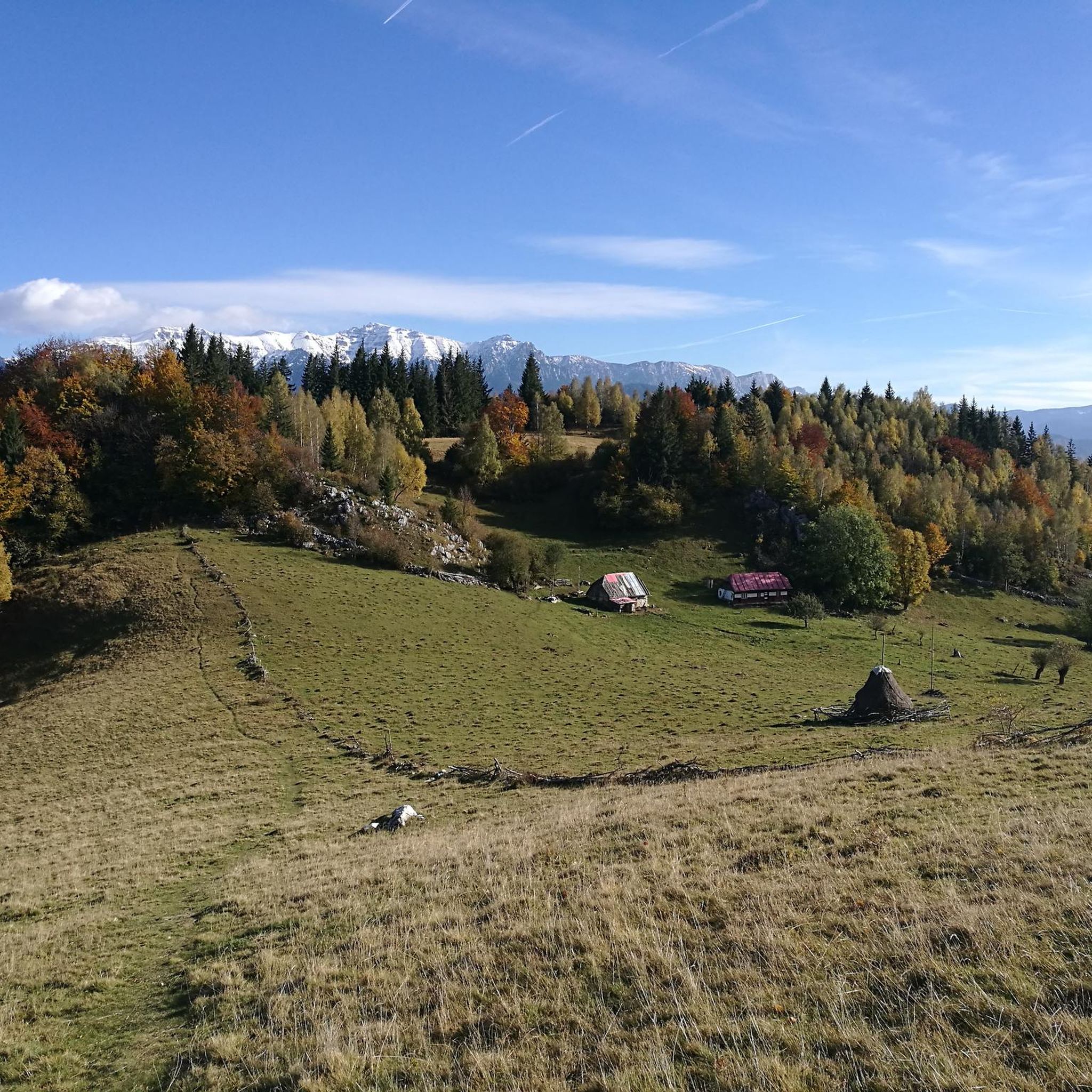
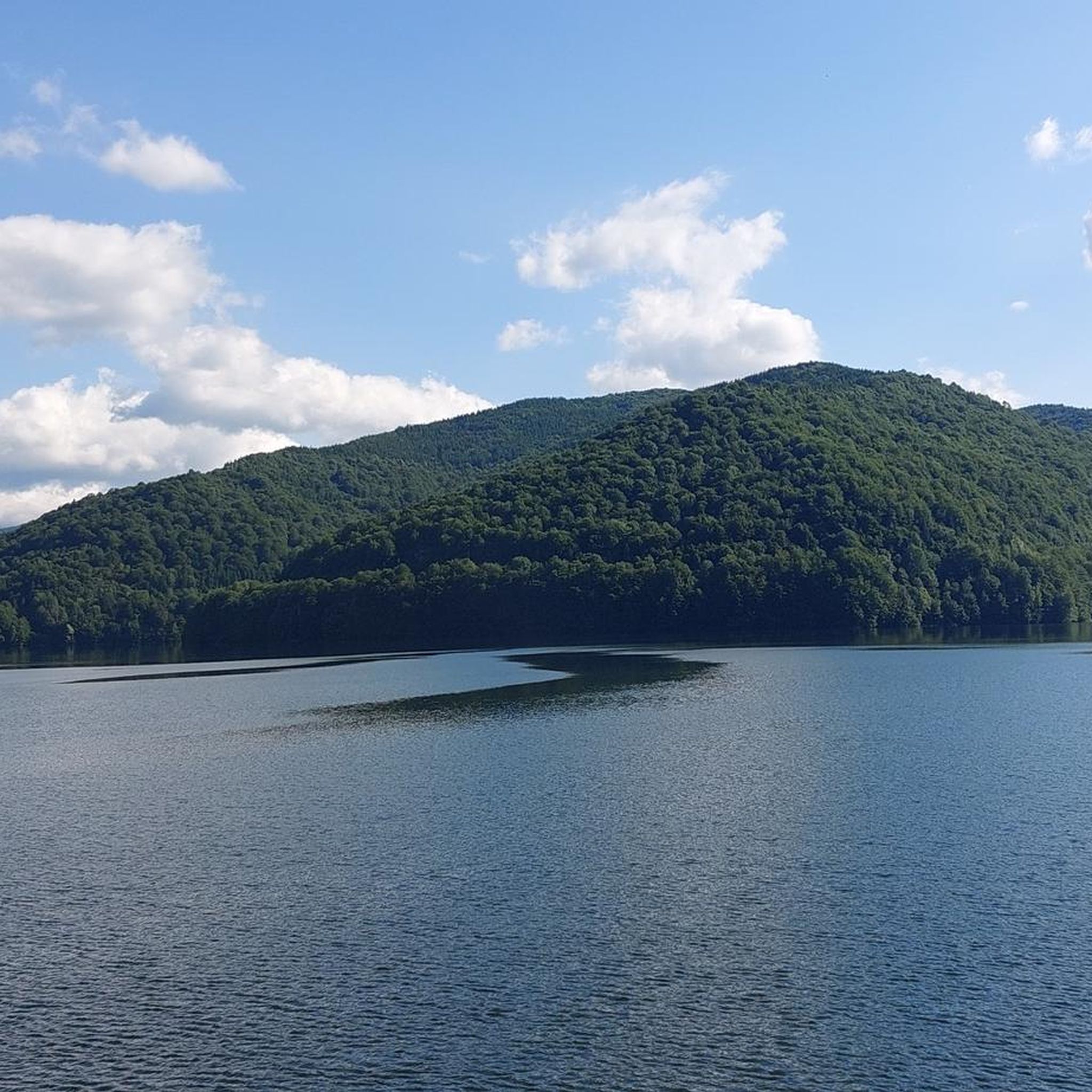

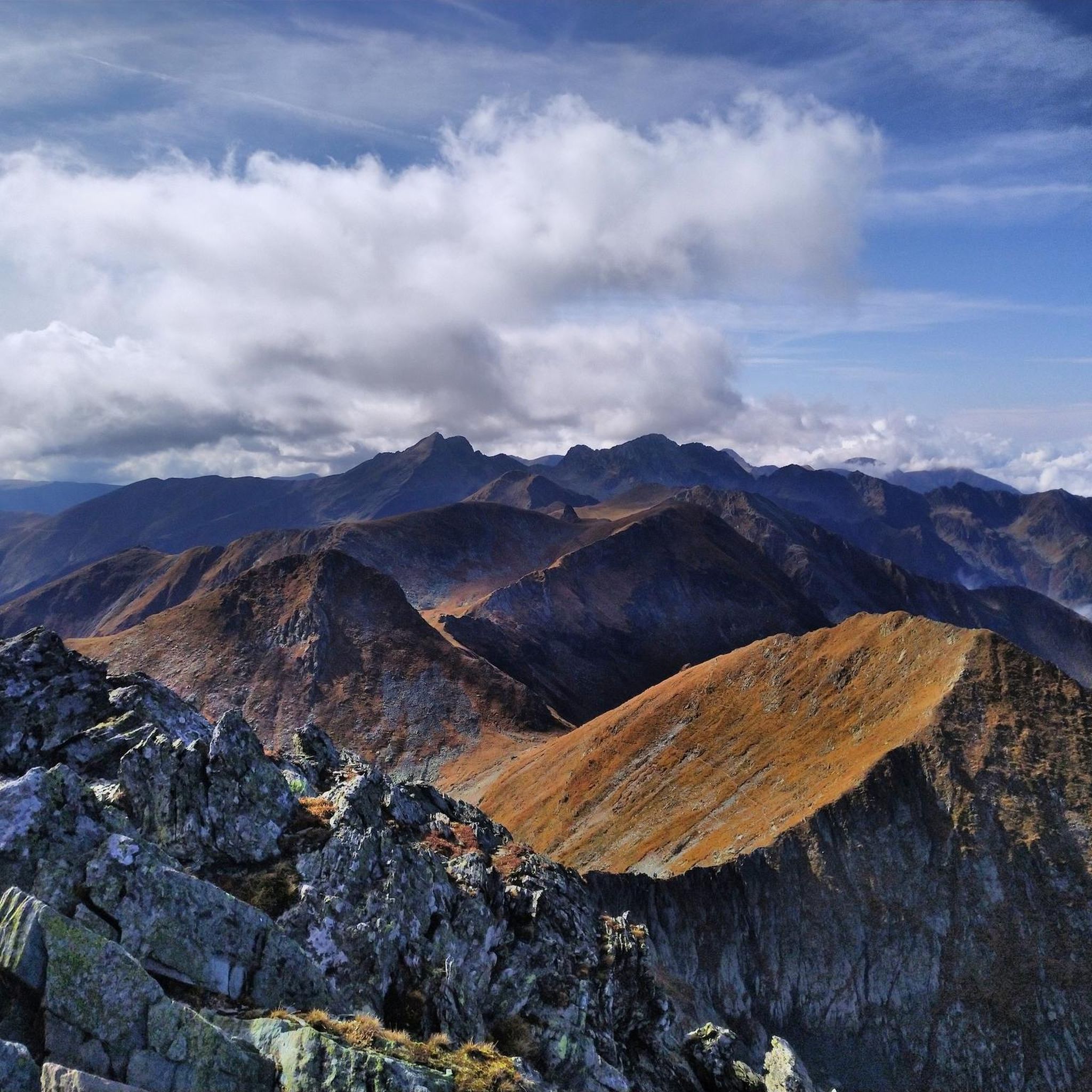
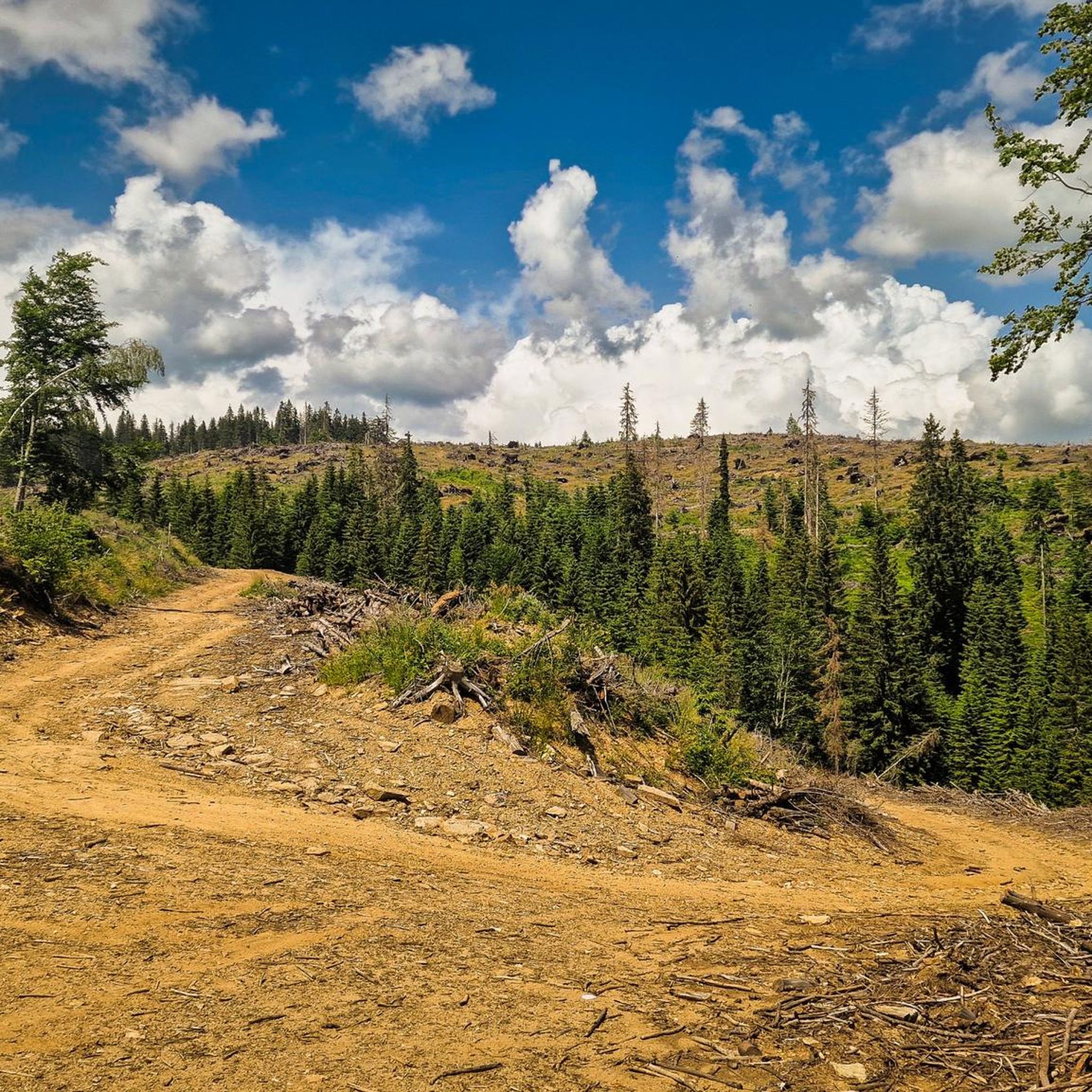
Tips from the Community

If possible, definitely avoid the weekend as the traffic from car tourists is IMMENSE!!! (Traffic jam for several kilometers).
0
0
The Dâmbovicioara Gorge was formed over millennia by the erosive power of the Dâmbovița River, which carved deeply into the limestone of the Carpathians. The gorge is a typical example of a "Klus" – a narrow valley formation enclosed by mountains, often created by tectonic shifts or river erosion. Its limestone and shale rock faces reach heights of over 100 meters in places and are crisscrossed by vertical cliffs, grottos, and natural balconies. Particularly impressive are the "Dâmbovicioara Waterfalls," which begin to roar after heavy rainfall or in spring, fed by the snowmelt from the mountains. The river winds through the gorge like a green dragon, sometimes calm, sometimes wild and raging – a constant interplay between idyll and drama.
0
0

This is stunning. Will definitely come again next summer
0
0

Hello. It was in the news that the lake will be emptied this fall of 2025 for the 50 years dam revision. Around end of febr 2026 the dam will be completly drained and the lake bed and bottom parts of the dam will be visible.
0
0

The tour offers an incredible experience through a stunning gorge with numerous waterfalls and small lakes where you can also swim. Ladders and footholds require surefootedness, and some passages can only be negotiated with dry feet at low water levels. Bears are primarily encountered along the Transfagarasan, where they like to hang out because they are fed from cars. Since you walk 1.5km along the road and there is no alternative route, you should carry bear spray. The starting point of the tour is not ideal, as you have to drive off-road for a relatively long time, and the road is affected by rockfall. It is better to park in the small parking lot at the switchback where the tour turns off the Transfagarasan into the gorge.
0
0

Beautiful trail. It's not really difficult if you want everything is possible... In winter you don't really have anywhere to buy anything but in return there is no crowding and few bears.. Beautiful
0
0

Bâlea Lac is an amazing lake to visit. Just by the most famous road in Romania, Transfăgăråșan. Stop by at a restaurant here with a view towards the lake if you feel hungry. Awesome landscape and road to the lake.
2
1

Staying overnight in this hostel is recommended due to its prime location. The rooms are clean and simply furnished. The food from the grill is good, breakfast is very regional, simple and good.
1
0
Frequently Asked Questions
How many touring cycling routes are available in Argeș?
Argeș County offers a wide range of touring cycling routes. According to komoot data, there are over 25 routes specifically for touring cyclists, catering to various skill levels and preferences.
Are there touring cycling routes suitable for beginners in Argeș?
Yes, Argeș has routes suitable for beginners. For instance, the Dam on the Argeș River loop from Pitești is an easy 17.1 km (10.6 miles) trail that follows the Argeș River valley, offering a gentle introduction to touring cycling in the region.
What are the most challenging touring cycling routes in Argeș?
For experienced touring cyclists seeking a challenge, Argeș is home to the legendary Transfăgărășan Highway. A particularly demanding route is the Bâlea Lake – Vidraru Dam loop from Curtea de Argeș, which covers 171.2 km (106.4 miles) with significant climbs and panoramic views of the Făgăraș Mountains and Vidraru Lake.
What is the best time of year for touring cycling in Argeș?
The best time for touring cycling in Argeș is generally during the summer season, from mid-June to late October. This is when iconic routes like the Transfăgărășan Highway are typically open, offering optimal weather conditions for exploring the high mountain passes and other scenic areas.
Can I find circular touring cycling routes in Argeș?
Yes, many touring cycling routes in Argeș are designed as loops, allowing you to start and end in the same location. Examples include the Câmpulung Muscel loop from Halta Parcul Krețulescu, a moderate 13.7 km (8.5 miles) ride, and the more challenging Ciocanu Rest Stop – Ciocanului loop from Sătic.
What kind of landscapes can I expect to see while touring cycling in Argeș?
Argeș offers incredibly diverse landscapes for touring cyclists. You'll encounter the majestic Făgăraș Mountains with their alpine vistas and glacial lakes, deep river valleys like the Argeș Valley, dense forests, and impressive engineering feats such as the Vidraru Dam. The region also includes parts of the Piatra Craiului National Park, known for its dramatic cliffs and lush terrains.
What natural attractions can I explore along touring cycling routes in Argeș?
Along the touring cycling routes in Argeș, you can discover stunning natural attractions. Highlights include the impressive Cerdacul Stanciului Natural Arch in Piatra Craiului National Park, and breathtaking viewpoints like the View of the Făgăraș Mountains. The region is also home to high peaks such as Moldoveanu Peak and Vânatoarea lui Buteanu Peak.
Are there any historical landmarks accessible by touring bike in Argeș?
Yes, Argeș is rich in history. While some historical sites like Poienari Fortress require a climb of 1,480 steps, many areas around historical towns like Curtea de Argeș are accessible by bike. The Curtea de Argeș Bike Lane – Curtea de Argeș Cathedral loop from Curtea de Argeș offers a route that passes by significant cultural sites, including the renowned Curtea de Argeș Monastery.
Are there any touring cycling routes that pass by the Vidraru Dam?
Absolutely. The Vidraru Dam is a prominent feature in Argeș, and several routes offer spectacular views of this engineering marvel and the surrounding Lake Vidraru. The Vidraru Dam – View of Lake Vidraru loop from Oeștii Ungureni is a challenging 82.8 km (51.5 miles) route that specifically highlights this area.
What do other touring cyclists enjoy the most about touring cycling in Argeș?
The touring cycling routes in Argeș are highly rated by the komoot community, with an average score of 4.9 stars from more than 10 reviews. Cyclists often praise the region's challenging alpine ascents, the breathtaking panoramic views, and the diverse terrain that ranges from serene valley rides to the dramatic Făgăraș Mountains.
Are there any touring cycling routes that include wilderness cabins or shelters?
Yes, for those looking for routes with potential stops at wilderness cabins or shelters, Argeș offers options. The Bunea Wilderness Cabin loop from Hidrocentrala Clăbucet is a challenging 45.4 km (28.2 miles) route that passes by the Bunea Wilderness Cabin, providing a taste of the more remote areas.
Can I find touring cycling routes that explore the Piatra Craiului National Park?
While the provided routes don't directly enter the core of Piatra Craiului National Park, the region research indicates that the park itself offers 11 marked cycling routes, primarily for mountain biking, spanning 290 kilometers. These routes often connect charming mountain villages and offer panoramic views of the Piatra Craiului mountains.
Most popular attractions in Argeș

Get inspired with the komoot mobile app


Didn’t find what you were looking for?
Check out more Cycling routes throughout Argeș below and find the perfect route in your destination.
Explore more
Browse the best Cycling routes in other regions.
