The best cycling routes around La Bâtie-Montsaléon
4.5
(127)
1,649
riders
96
rides
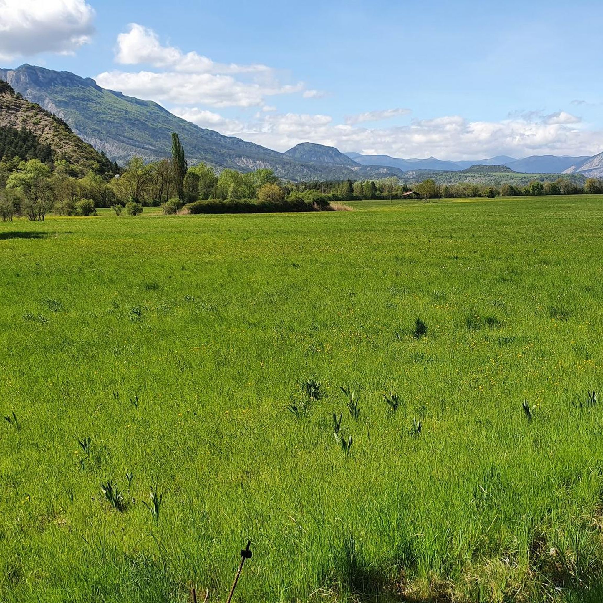
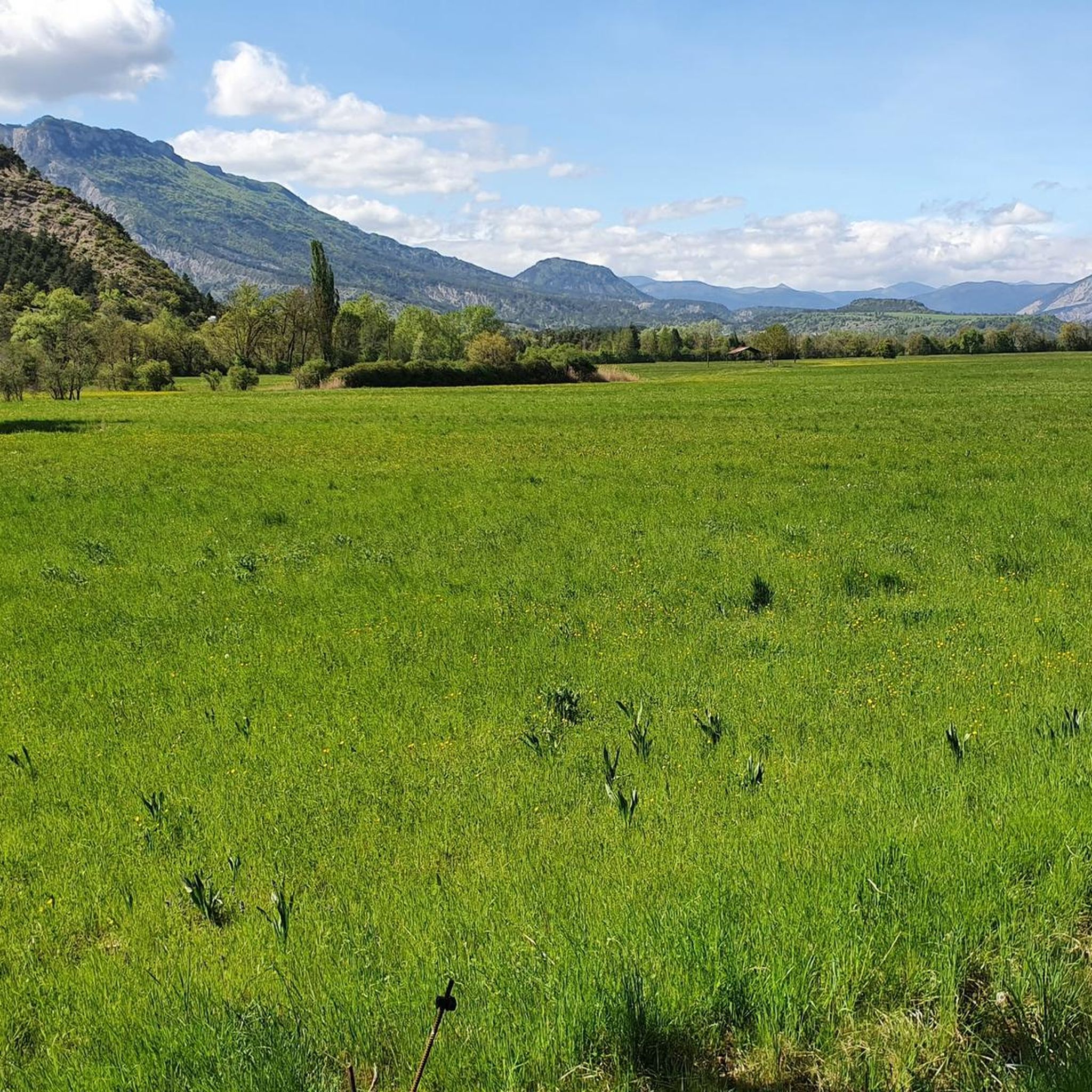
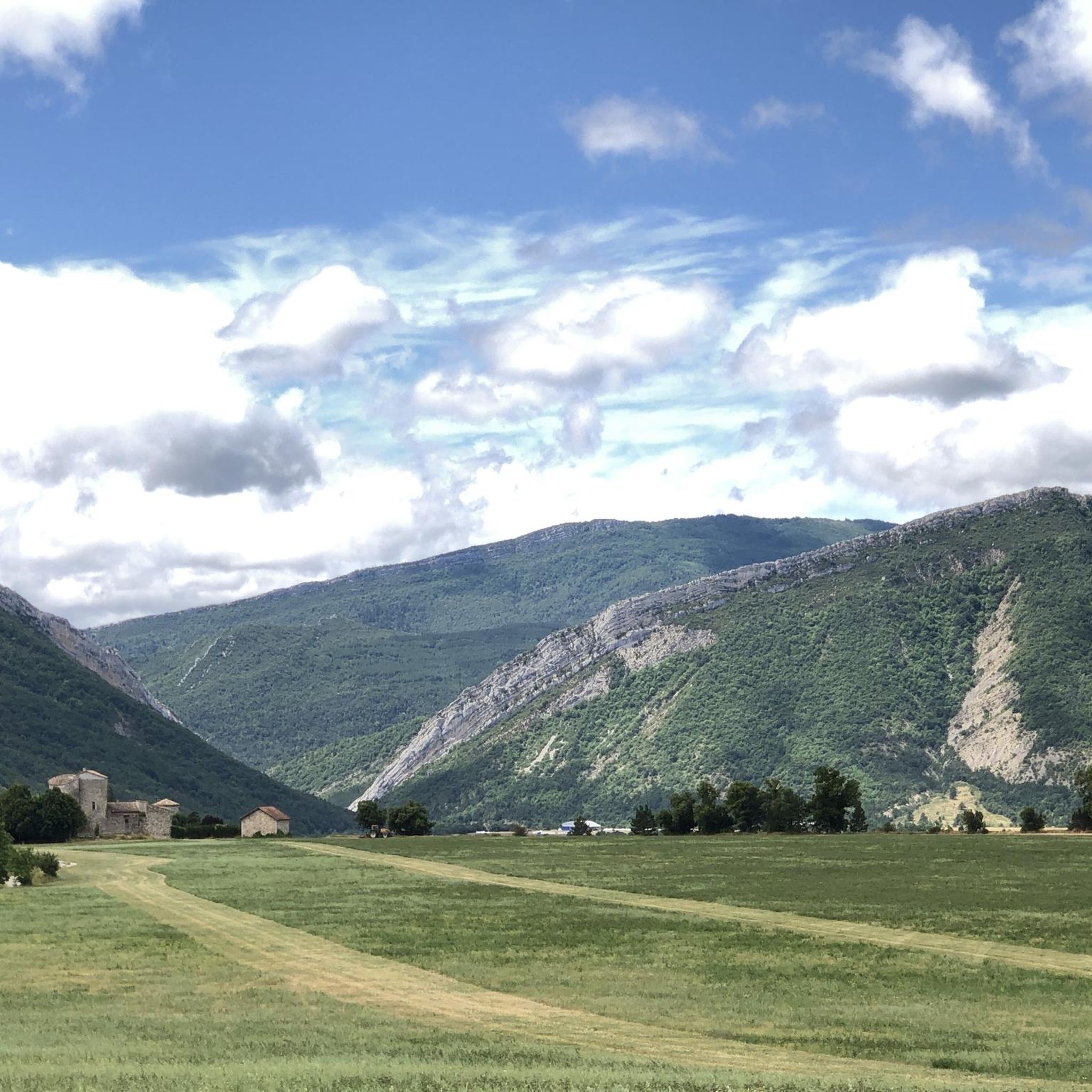
Touring cycling routes around La Bâtie-Montsaléon navigate a landscape characterized by significant elevation changes, including numerous mountain passes and river valleys. The region features varied terrain, from challenging climbs to routes that follow waterways. This area offers a network of routes suitable for touring cyclists seeking diverse experiences.
Best touring cycling routes around La Bâtie-Montsaléon
- The most popular touring cycling route is Bachassette Pass – Verniers Pass loop from Chabestan, a 20.4 miles (32.9 km) trail that takes 2…
Last updated: July 8, 2026
4.7
(10)
126
riders
32.9km
02:10
530m
530m
Hard bike ride. Very good fitness required. Mostly paved surfaces. Suitable for all skill levels.
5.0
(3)
48
riders
96.6km
06:44
1,840m
1,840m
Hard bike ride. Very good fitness required. Mostly paved surfaces. Suitable for all skill levels.

Sign up for free
4.8
(4)
48
riders
51.9km
03:19
640m
640m
Hard bike ride. Very good fitness required. Mostly paved surfaces. Suitable for all skill levels.
3.0
(2)
46
riders
57.2km
03:41
690m
690m
Hard bike ride. Very good fitness required. Mostly paved surfaces. Suitable for all skill levels.
4.8
(5)
38
riders
16.8km
01:06
230m
230m
Moderate bike ride. Good fitness required. Mostly paved surfaces. Suitable for all skill levels.
Get access to more routes and recommendations from other explorers.
Sign up for free
Already have an account?
Our route recommendations are based on thousands of hikes, rides, and runs completed by other people on komoot.
Start today with a free account
Your next adventure awaits.
Login or Signup

Tips from the Community

Viewpoint for taking photos
2
0
Here you can take different paths
13
0
The Col de Faye is a mountain pass in the Southern Alps, located in the department of Hautes-Alpes at an altitude of approximately 922 to 924 meters. It connects the Buëch valley to the Durance valley — between the municipalities of Savournon and Ventavon — via the departmental road D21.
13
0
Very beautiful square. The fountain is well designed.
12
0
Secondary road off the traffic.
10
0
Here you can enjoy a wonderful view.
9
0
It is therefore a pass of modest dimensions, rather constant but at times challenging – typical of the area: short, secluded and scenic.
8
0
The Col de Carabès is a mountain pass located in the French Alps, on the border between the departments of Drôme and Hautes-Alpes.
11
0
Frequently Asked Questions
What kind of terrain can I expect when touring cycling around La Bâtie-Montsaléon?
The landscape around La Bâtie-Montsaléon is characterized by significant elevation changes, including numerous mountain passes and river valleys. You'll find varied terrain, from challenging climbs to routes that follow waterways, offering diverse experiences for touring cyclists.
How many touring cycling routes are available in La Bâtie-Montsaléon?
There are over 100 touring cycling routes available around La Bâtie-Montsaléon, catering to various ability levels with options for easy, moderate, and difficult rides.
Are there touring cycling routes suitable for beginners or families in La Bâtie-Montsaléon?
Yes, while the region is known for its challenging terrain, there are 11 easy routes and 32 moderate routes available. These often feature less elevation gain or follow gentler gradients, making them suitable for less experienced riders or families.
What are some challenging touring cycling routes for experienced riders?
For experienced riders seeking a challenge, routes like the Col de Carabès – Route de Sigottier loop from Serres offer nearly 60 miles (96.2 km) with significant elevation gain, traversing high mountain passes and providing expansive views. Another demanding option is the Bachassette Pass – Verniers Pass loop from Chabestan, which covers 20.4 miles (32.9 km) with varied terrain and mountain passes.
Are there any circular touring cycling routes in the area?
Many routes in La Bâtie-Montsaléon are designed as loops, allowing you to start and end in the same location. Examples include the View of the Valley Basin – Faye Pass loop from Serres, which offers mountain passes and valley views, and the Gravel along the river loop from Serres.
What is the best season for touring cycling in La Bâtie-Montsaléon?
Given the mountainous nature of the region, the best season for touring cycling in La Bâtie-Montsaléon is typically from spring to autumn. During these months, the weather is generally more favorable, and mountain passes are clear of snow, offering optimal conditions for exploring the diverse terrain.
What natural landmarks or points of interest can I see along the touring cycling routes?
The region offers several natural landmarks. You might encounter mountain passes such as Espréaux Pass, Col de Carabès, and Faye Pass. Some routes also pass by scenic spots like The Shores of the Lake.
Are there any historical sites or cultural attractions accessible by touring bike?
Yes, you can explore historical sites such as Clausonne Abbey, which is a notable historical landmark in the vicinity, offering a glimpse into the region's past.
What do other touring cyclists say about the routes in La Bâtie-Montsaléon?
The touring cycling routes in La Bâtie-Montsaléon are highly rated by the komoot community, with an average score of 4.4 stars from over 100 reviews. Cyclists often praise the varied terrain, the challenge of the mountain passes, and the scenic beauty of the river valleys.
Are there long-distance touring cycling options available?
Yes, for those looking for longer rides, routes like the Col de Carabès – Route de Sigottier loop from Serres extend for nearly 60 miles (96.2 km), providing a substantial long-distance touring experience through the region's challenging landscapes.
Where can I find parking for touring cycling routes in La Bâtie-Montsaléon?
While specific parking locations are not detailed for every route, many touring cycling routes in the region, especially those starting from towns like Serres or Chabestan, typically have public parking areas available near the trailheads or in the town centers. It's advisable to check local signage upon arrival.
Are there any particularly scenic touring cycling routes with good viewpoints?
Many routes offer stunning views due to the mountainous terrain. The View of the Valley Basin – Faye Pass loop from Serres is specifically highlighted for its valley views. Additionally, routes that traverse mountain passes like Col de Carabès often provide expansive panoramic vistas.
Can I find routes that follow river valleys?
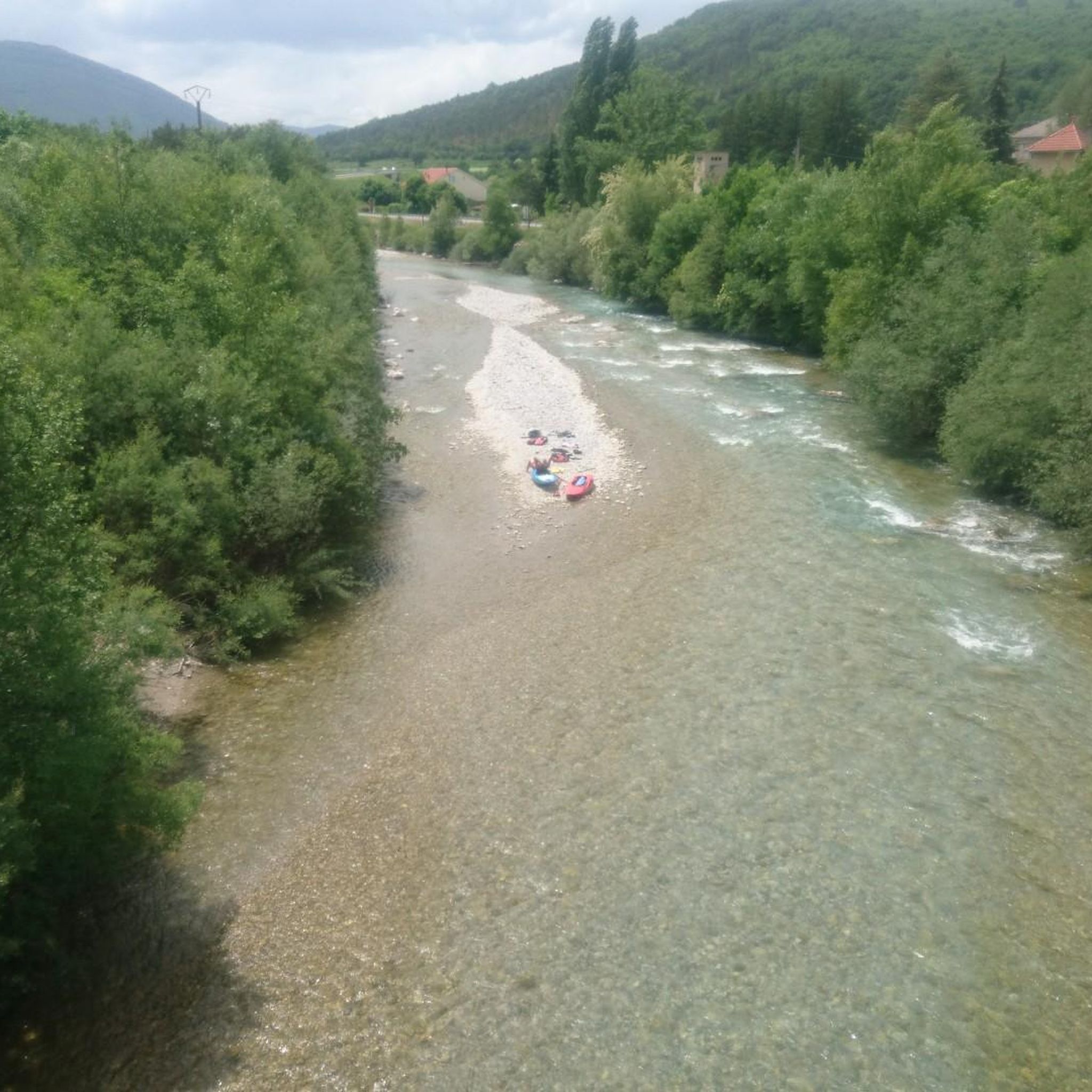
Yes, the region's landscape includes river valleys, and some touring cycling routes are designed to follow these waterways. The Gravel along the river loop from Serres is an excellent example, offering a ride along a river, which can provide a different cycling experience compared to the mountain passes.
Most popular routes around La Bâtie-Montsaléon
Most popular attractions around La Bâtie-Montsaléon

Get inspired with the komoot mobile app


Explore more
Browse the best Cycling routes in other regions.
