The best walks and hikes around La Bâtie-Montsaléon
4.5
(316)
1,856
hikers
76
hikes
Hiking around La Bâtie-Montsaléon offers a variety of terrain, characterized by its position in the French Prealps. The landscape features rolling hills, forested areas, and open valleys, providing diverse environments for outdoor exploration. Trails often include ascents and descents, leading to panoramic views of the surrounding region. The area's geology contributes to varied paths, from well-trodden tracks to more rugged sections.
Best hiking trails around La Bâtie-Montsaléon
- The most popular hiking route is Serres – Chemin Haut de Saumane loop…
Last updated: July 8, 2026
4.8
(22)
90
hikers
6.10km
02:24
350m
350m
Moderate hike. Good fitness required. Mostly accessible paths. Sure-footedness required.
3.0
(4)
18
hikers
7.63km
03:28
720m
720m
Moderate hike. Good fitness required. Easily-accessible paths. Suitable for all skill levels.

Sign up for free
5.0
(1)
18
hikers
19.8km
05:49
540m
540m
Hard hike. Very good fitness required. Easily-accessible paths. Suitable for all skill levels.
4.0
(1)
6
hikers
4.68km
01:35
220m
220m
Easy hike. Great for any fitness level. Easily-accessible paths. Suitable for all skill levels.
3
hikers
10.8km
03:55
620m
620m
Moderate hike. Good fitness required. Easily-accessible paths. Suitable for all skill levels.
Get access to more routes and recommendations from other explorers.
Sign up for free
Already have an account?
Our route recommendations are based on thousands of hikes, rides, and runs completed by other people on komoot.
Start today with a free account
Your next adventure awaits.
Login or Signup
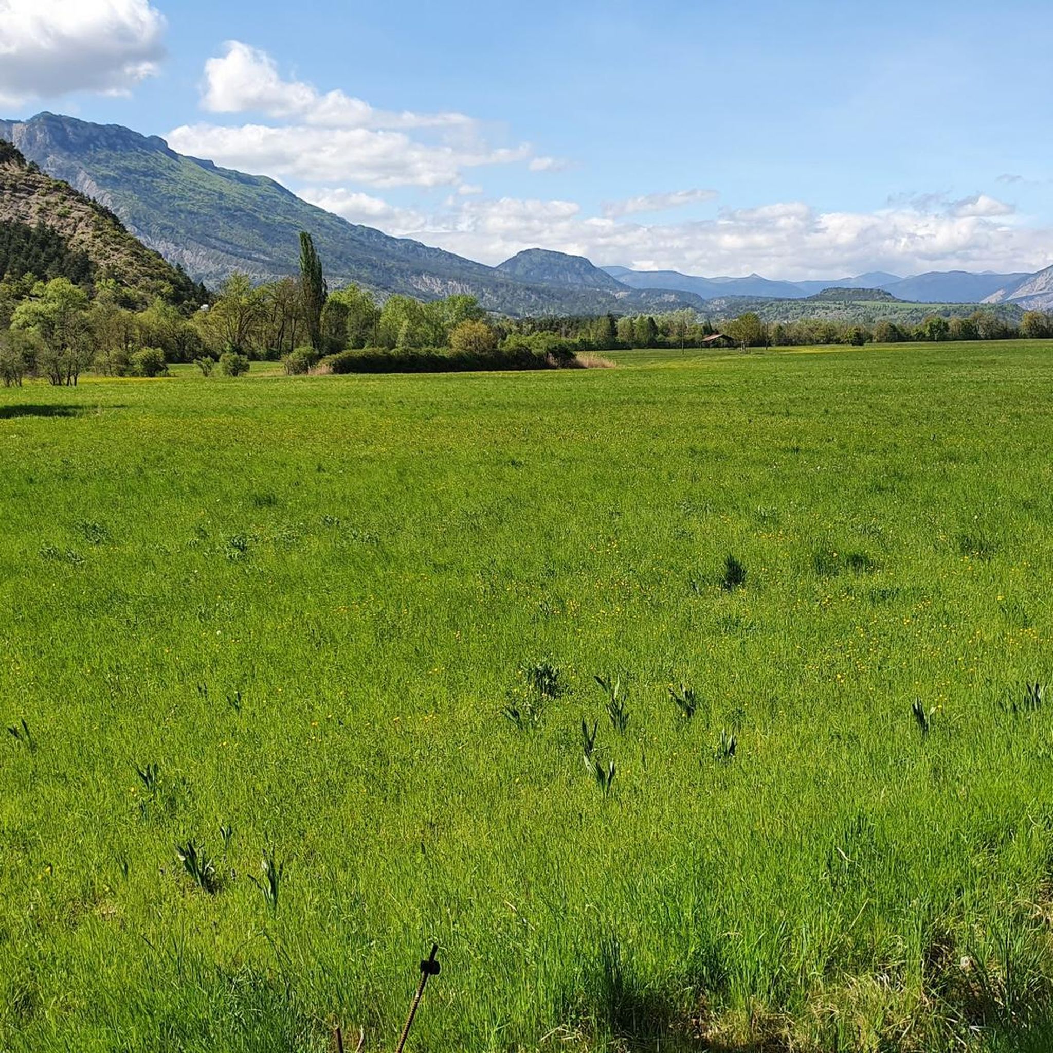
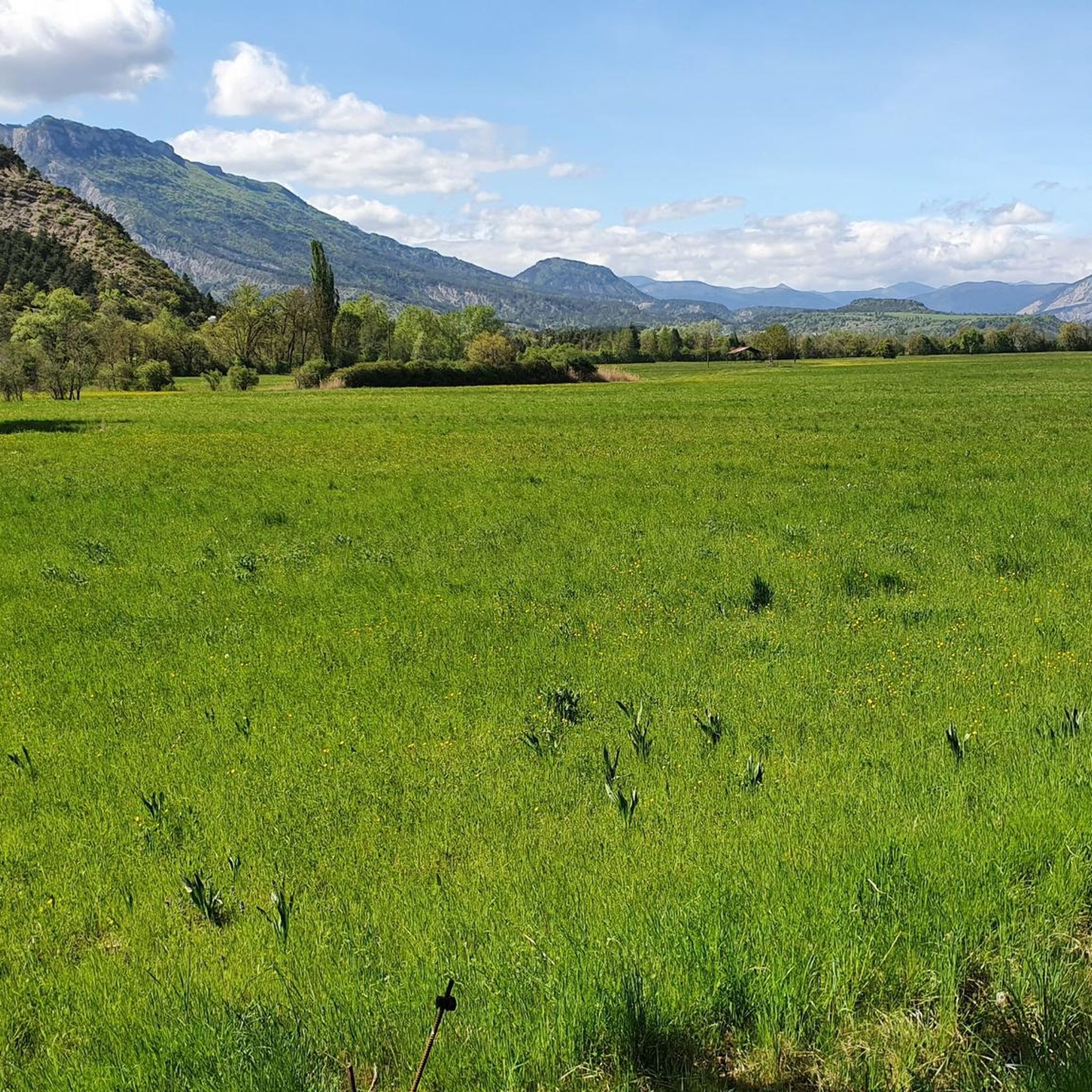
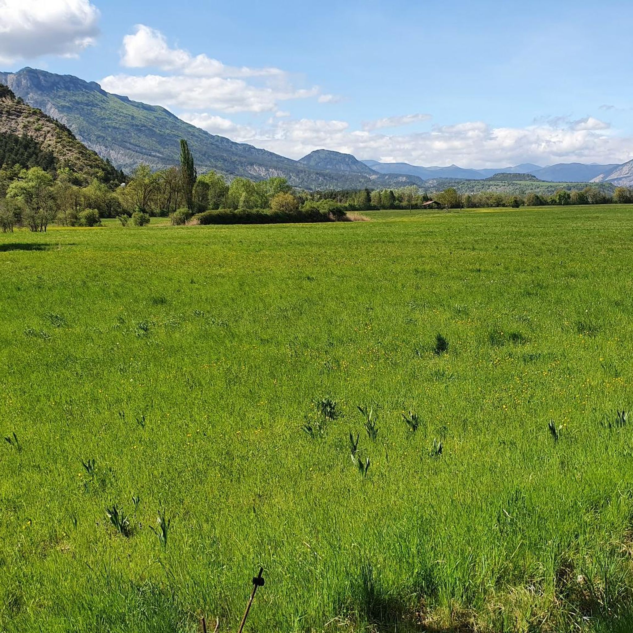
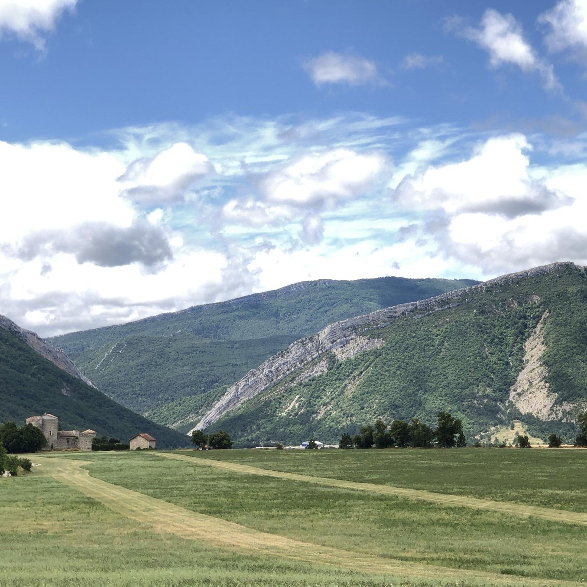

Tips from the Community

The view of Aujour (Montagne de l’Aujour) is one of the most spectacular panoramas in the area between the Alpes-de-Haute-Provence and the Sisteron area: a long limestone ridge that dominates valleys, hills and, on clear days, opens up to the Prealps and the Durance basin.
14
0
Passage through wonderful orchards.
16
0
Serres is a municipality in southeastern France, located in the department of Hautes-Alpes, in the Provence-Alpes-Côte d’Azur region.
18
0

Artificial lake of little interest. The prettiest part of the hike is at the bottom of the Gorges: that's great!
0
0


This very beautiful path joins the Col de Saumane at an altitude of 1,030 meters. The Notre-Dame de Saumane chapel, also called Notre-Dame-des-Anges, is located along the road.
0
1
Located at an altitude of 660 meters and leaning against the Pignolette rock, the village of Serres dominates the valley and its river. This small medieval town boasts some treasures: the arcaded square, the sculpted doors, the Romanesque church... As you stroll through its streets, you discover its rich history.
4
0
Frequently Asked Questions
How many hiking trails are available around La Bâtie-Montsaléon?
There are over 75 hiking trails around La Bâtie-Montsaléon, offering a wide range of options for different skill levels. This includes 19 easy, 48 moderate, and 10 difficult routes.
Are there easy hiking trails suitable for beginners in La Bâtie-Montsaléon?
Yes, La Bâtie-Montsaléon offers 19 easy hiking trails. A good option for a relaxed walk is the Serres loop from Serres, which is 4.7 km long and takes about 1 hour 35 minutes to complete.
What are some challenging hikes in the La Bâtie-Montsaléon area?
For those seeking a challenge, there are 10 difficult routes available. One notable option is the View of L'Aujour – Clausonne Abbey loop from Chabestan, a demanding 19.8 km path with significant elevation changes, typically taking around 5 hours 50 minutes.
What is the typical duration for hikes around La Bâtie-Montsaléon?
Hike durations vary significantly depending on the trail's length and difficulty. For example, an easy route like the Serres loop from Serres takes about 1 hour 35 minutes, while a moderate trail such as Serres – Chemin Haut de Saumane loop from Serres can take around 2 hours 8 minutes. Longer, more difficult routes can extend to nearly 6 hours.
Are there any circular hiking routes in La Bâtie-Montsaléon?
Yes, many of the trails around La Bâtie-Montsaléon are circular, allowing you to start and end at the same point. Examples include the popular Serres – Chemin Haut de Saumane loop from Serres and the scenic Serres – View into the valley loop from Le Bersac.
What kind of scenery can I expect on hikes in La Bâtie-Montsaléon?
The landscape around La Bâtie-Montsaléon is characterized by its position in the French Prealps, offering a mix of rolling hills, dense forested areas, and open valleys. Many trails feature ascents and descents, leading to panoramic views of the surrounding region. You'll encounter varied paths, from well-trodden tracks to more rugged sections.
What do other hikers say about the trails in La Bâtie-Montsaléon?
The routes in La Bâtie-Montsaléon are highly rated by the komoot community, with an average score of 4.4 stars from over 290 reviews. Hikers often praise the diverse terrain, the expansive views, and the well-maintained paths that cater to various skill levels.
Are there interesting landmarks or attractions to see along the hiking trails?
Yes, the area features several points of interest. You can explore historical sites like Clausonne Abbey, or enjoy natural viewpoints such as Espréaux Pass and Col de Carabès, which offer stunning vistas of the region.
What is the best time of year to go hiking in La Bâtie-Montsaléon?
Given its location in the French Prealps, spring and autumn generally offer the most pleasant hiking conditions with mild temperatures and vibrant scenery. Summer can also be enjoyable, especially for higher elevation trails, but it's advisable to start early to avoid the midday heat. Winter hiking is possible, but some routes may be affected by snow or ice, requiring appropriate gear.
Are there any trails that lead to mountain peaks or high viewpoints?
Yes, several trails offer access to peaks and high viewpoints. You can find routes that lead to summits like Le Duffre (Montagne de l'Aup) or Chemin Haut de Saumane, providing expansive views over the valleys and surrounding mountains.
Are there family-friendly hiking options in La Bâtie-Montsaléon?
While specific 'family-friendly' designations aren't always explicit, the 19 easy trails in the area are generally suitable for families with children. These routes are shorter and have less elevation gain, making them more accessible for younger hikers.
Can I find trails with water features or wild swimming opportunities?
While the region is known for its diverse terrain, specific wild swimming spots directly on hiking trails are not explicitly highlighted in the data. However, the nearby The Shores of the Lake might offer opportunities for water-related activities, though it's best to check local regulations for swimming.
Most popular routes around La Bâtie-Montsaléon
Most popular attractions around La Bâtie-Montsaléon

Get inspired with the komoot mobile app


Explore more
Browse the best Hikes in other regions.
