The best walks and hikes around Saint-Amans-Valtoret
4.6
(443)
3,350
hikers
118
hikes
Hiking trails around Saint-Amans-Valtoret traverse the diverse landscapes of the Thoré Valley and the Montagne Noire in the Tarn department of Occitanie, France. The region features dense forests of chestnut and beech, tranquil river walks, and elevated points offering panoramic views. Hikers can explore varied terrain, from the verdant valley floors to the ridges of the Montagne Noire, which transitions between Atlantic and Mediterranean influences. Key natural features include the Lac des Saints-Peyres and the upper Thoré Valley, part of…
Last updated: July 4, 2026
4.6
(13)
53
hikers
15.6km
04:37
440m
440m
Hike the difficult 9.7-mile Gorges du Banquet loop from Vintrou, gaining 1435 feet for dramatic views in Haut Languedoc.
3.3
(3)
36
hikers
19.1km
06:28
950m
950m
Hard hike. Very good fitness required. Easily-accessible paths. Suitable for all skill levels.

Sign up for free
3.0
(2)
19
hikers
15.9km
05:42
940m
940m
Hard hike. Very good fitness required. Easily-accessible paths. Suitable for all skill levels.
4.7
(10)
17
hikers
13.2km
03:48
320m
330m
Moderate hike. Good fitness required. Easily-accessible paths. Suitable for all skill levels.
5.0
(1)
14
hikers
7.52km
02:03
110m
110m
Moderate hike. Good fitness required. Easily-accessible paths. Suitable for all skill levels.
Get access to more routes and recommendations from other explorers.
Sign up for free
Already have an account?
Our route recommendations are based on thousands of hikes, rides, and runs completed by other people on komoot.
Start today with a free account
Your next adventure awaits.
Login or Signup

Tips from the Community

Save your energy for the last 5km, be careful when it's windy.
0
0

We like to compare, the Pic de Nore is a small Ventoux, its climbs from Mazamet or Villeneuve-Minervois are not as steep as that of the Ventoux from Bédoin but they still have to be earned. They are 17 and 22 km respectively, have an average gradient of 5.5% and 4.56%, with a maximum gradient of 11.8% and 10%. For my part, I chose to join Pradelles-Cabardès via the forests from Limousis, passing in particular the Soulanes de Nore, I was treated to some good slopes with a double-digit percentage ... Two legends would explain its name: in the first it is the fairy Nore who, annoyed by the damage caused to the crops by the Cers wind, would have planted her pike in the ground there, and as if by magic the rocks would have accumulated around to form the Pique de Nore. In the second, the wind of Cers is still blamed for its damage to human crops, not only there, and it is Nore, Bug and Arach who went to complain to Jupiter. Jupiter does not like to be disturbed, he transformed Nore into a mountain and Bug and Arach into the summit of Bugarach ...
3
0


The lovely little children's dragon trail starts here. Almost 3 km with little puzzles. There is also a parking lot, everything is highly recommended! Small note: no network and the signs are all in French.
0
0

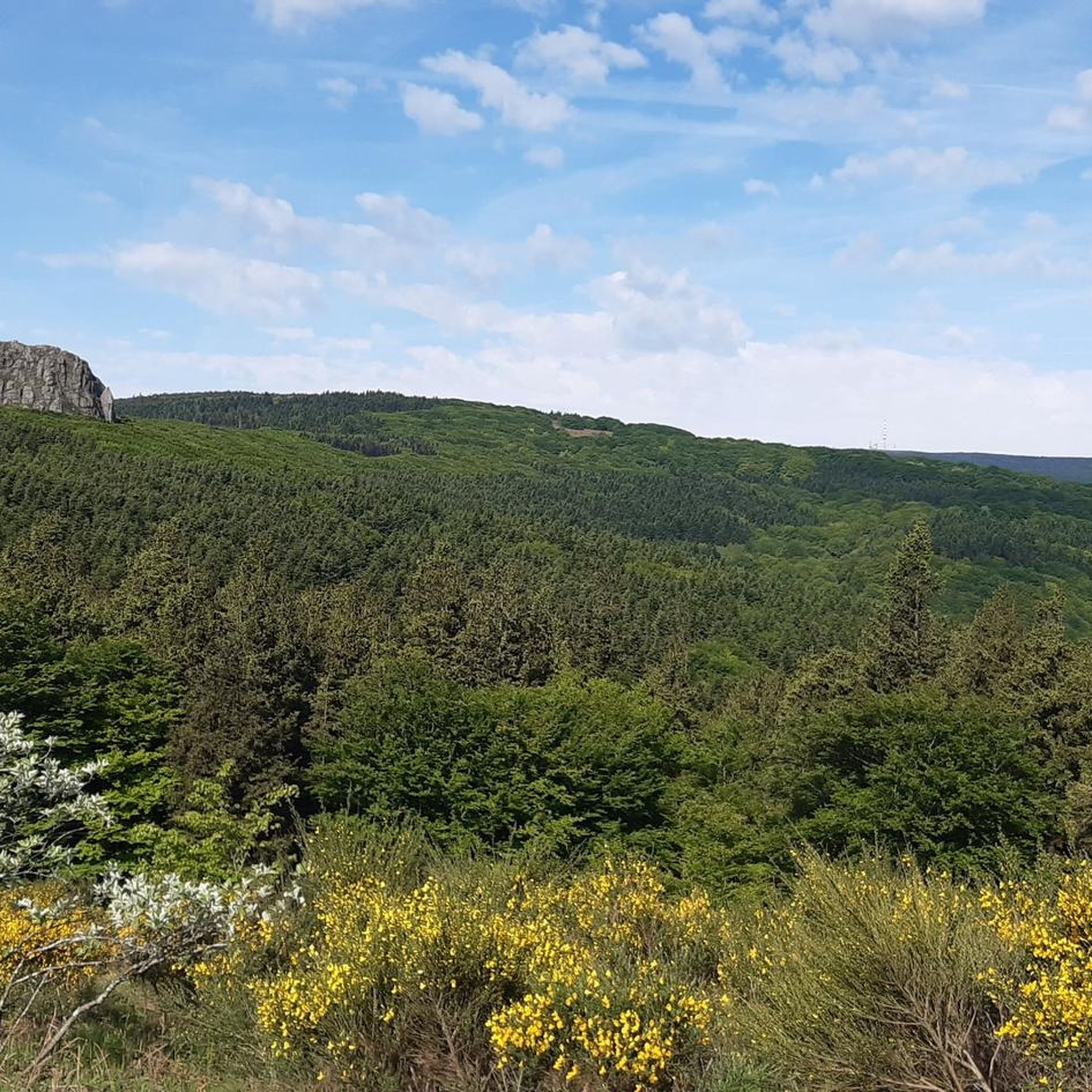
Very nice walk, varied nature, beautiful view, very pretty heather ☺️ Partially shaded.
1
1

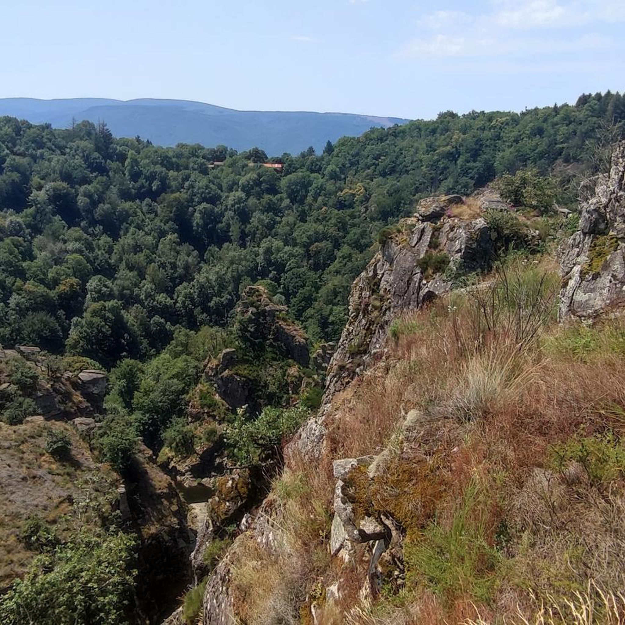
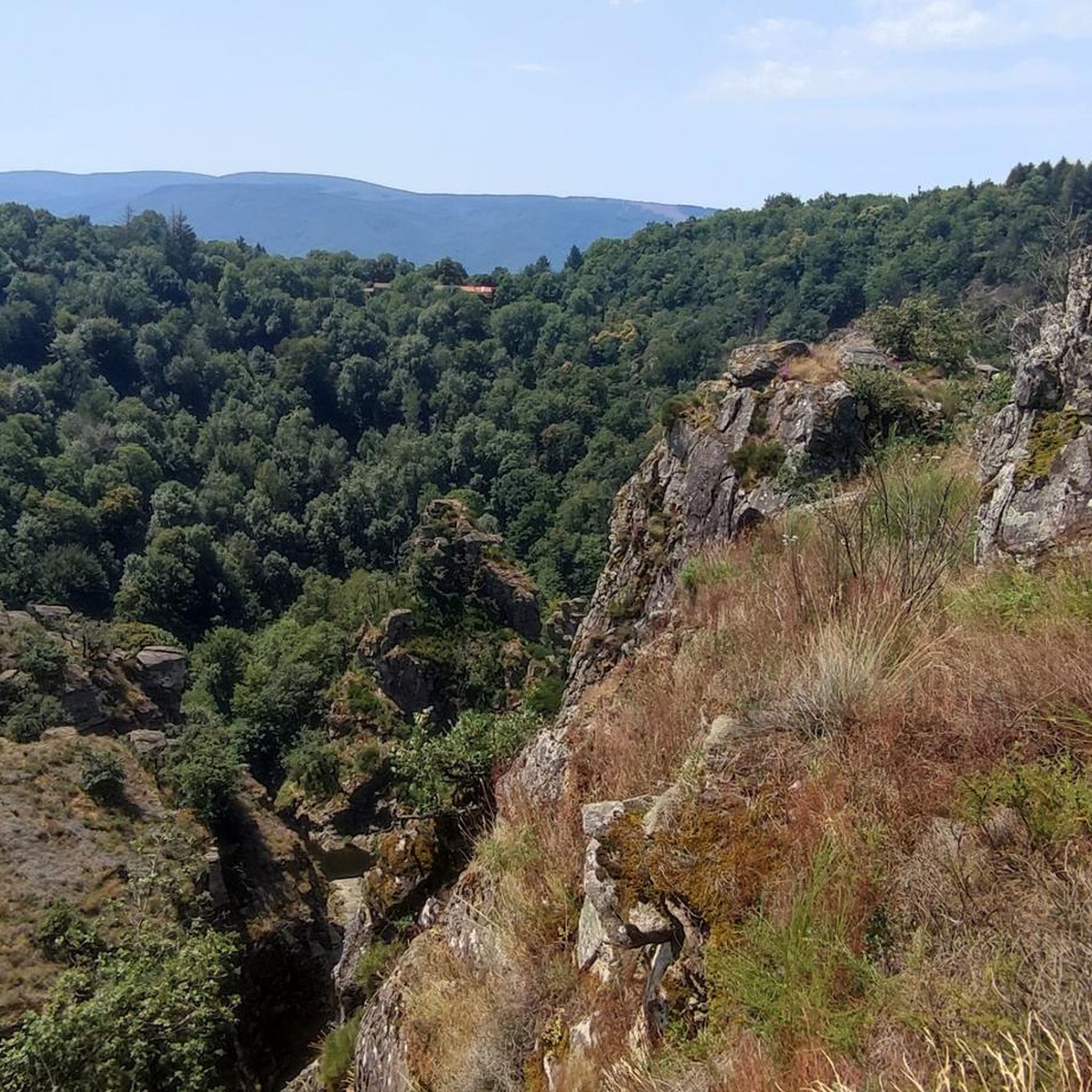
very beautiful view of the thore valley and saint amans de soults
0
0

Despite its low altitude (only 1,211 meters), the Pic de Nore, located in the Aude department and the highest point of the Montagne Noire, can experience extremely harsh weather conditions. You can't miss its imposing red and white television antenna.
0
0

The Pic de Nore is a small flat peak that culminates at 1,211 meters. It offers a superb 360° panorama of the Montagne Noire and the south-western limits of the Haut-Languedoc regional natural park.
2
0
Frequently Asked Questions
What kind of terrain can I expect on hikes around Saint-Amans-Valtoret?
The region offers a diverse landscape, from the tranquil Thoré Valley to the forested slopes of the Black Mountain (Montagne Noire). You'll find paths winding through dense forests of chestnut and beech, along riverbanks, and up to elevated points with panoramic views. The area is also home to unique wetland areas like the Sagne de Puech Balmes.
How many hiking trails are available in Saint-Amans-Valtoret?
There are over 110 hiking trails around Saint-Amans-Valtoret, catering to various skill levels. This includes 35 easy routes, 57 moderate routes, and 19 more challenging options.
Are there easy hiking trails suitable for beginners or families in Saint-Amans-Valtoret?
Yes, Saint-Amans-Valtoret offers 35 easy routes perfect for beginners or families. One notable easy trail is the Sagne de Puech Balmes, which features an arranged path through a unique wetland ecosystem. For a moderate option, consider the Saint-Amans-Valtoret loop from Saint-Amans-Soult, a 4.7-mile trail that takes about 2 hours.
What are some challenging hikes for experienced trekkers in the area?
For experienced hikers, the region offers 19 difficult routes. Beyond the popular Saints-Peyres Path, you could explore Pic de Nore – Nore Gate loop from Saint-Amans-Soult, an 11.7-mile path with significant elevation gain within the Montagne Noire. Another challenging option mentioned in regional research is Lo Camin de la Planette.
Are there any circular hiking routes in Saint-Amans-Valtoret?
Yes, many routes in the area are circular. For example, the Saint-Amans-Valtoret loop from Saint-Amans-Soult is a moderate 4.7-mile circular trail. You can also find longer circular options like the Saints-Peyres Lake – The lake loop from Communauté de communes Thoré Montagne Noire, which is 9.5 miles long.
What natural features or landmarks can I see while hiking?
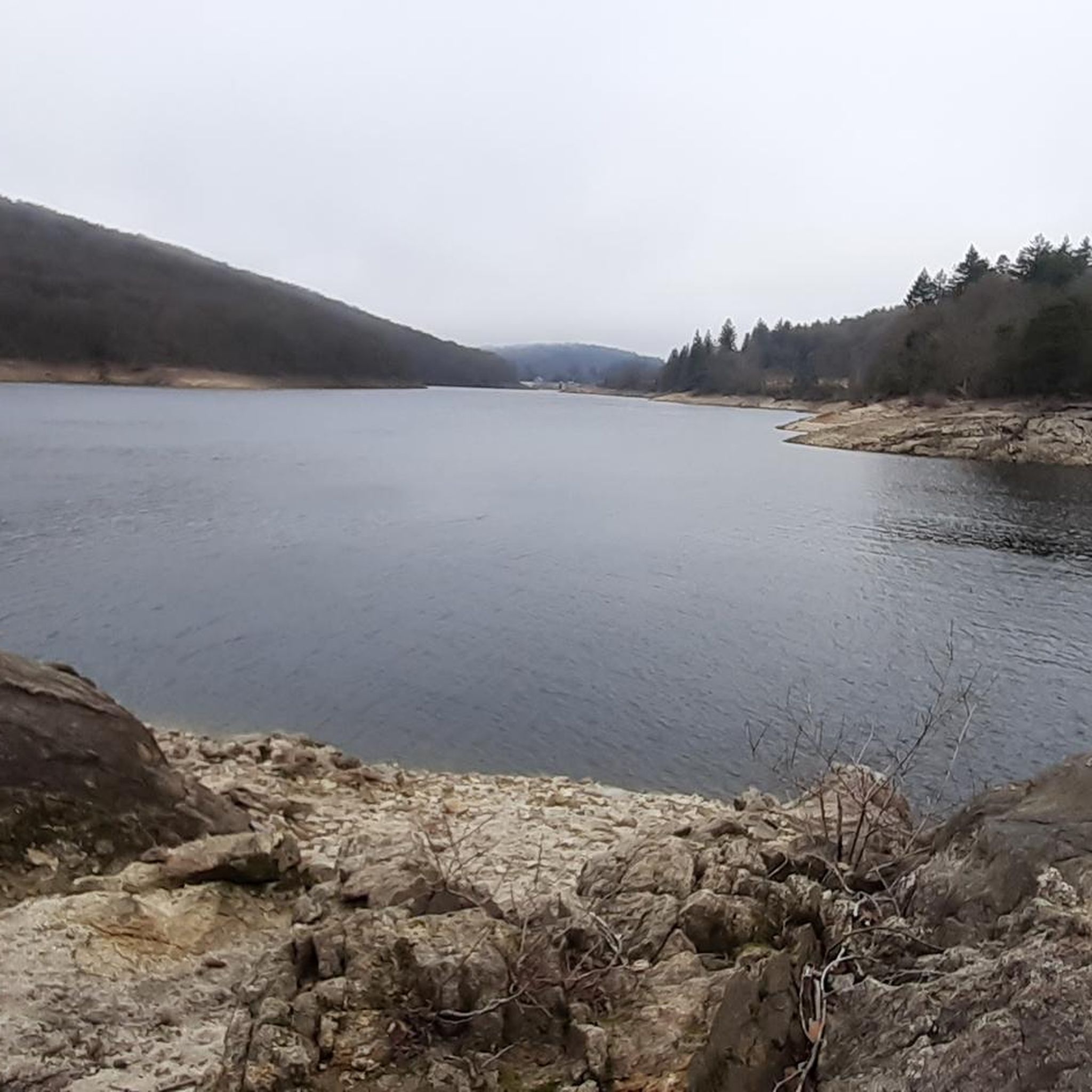
Hikers can enjoy a variety of natural features and landmarks. The region is known for its forests, the tranquil Saints-Peyres Lake, and the unique Sagne de Puech Balmes wetland. You might also encounter the distant curves of the Black Mountain (Montagne Noire) and the Thoré Valley. The village itself offers a castle and its garden for a leisurely stroll.
Are there any hikes that feature lakes or water bodies?
Absolutely. The region is characterized by its beautiful water features. Many trails lead to or around the tranquil Saints-Peyres Lake. You can take the Saints-Peyres Lake – The lake loop from Communauté de communes Thoré Montagne Noire for a comprehensive experience of the lake. Other nearby lakes include Lac de Birotos and Lac des Montagnès.
Can I find trails with good viewpoints in the area?
Yes, the Montagne Noire provides a dramatic backdrop, and many routes offer expansive views. Hikers can explore sections of the Tour de Pays Haute Vallée du Thoré for panoramic vistas. The Pic de Nore is a prominent summit in the area known for its views.
What is the best time of year to go hiking in Saint-Amans-Valtoret?
The diverse landscapes of Saint-Amans-Valtoret are enjoyable throughout much of the year. Spring and autumn offer pleasant temperatures and vibrant foliage, making them ideal for exploring the forests and valleys. Summer is also popular, especially for trails around lakes, though it's wise to start early to avoid the midday heat. Winter hiking is possible, but some higher elevation trails might have colder conditions.
What do other hikers enjoy the most about hiking in Saint-Amans-Valtoret?
The area is highly rated by the komoot community, with an average score of 4.6 stars from over 390 reviews. Reviewers often praise the varied terrain, from the quiet woodlands and tranquil river walks to the scenic Lac des Saints-Peyres, and the well-maintained paths that offer options for all ability levels.
Are there options for parking near the trailheads?
While specific parking details for every trailhead are not provided, Saint-Amans-Valtoret is a rural area, and parking is generally available in or near villages and popular starting points for trails. It's advisable to check local signage or specific route descriptions on komoot for designated parking areas.
Are there any cafes or pubs along the hiking routes?
Saint-Amans-Valtoret is a small village, and while it offers some local amenities, cafes and pubs might not be directly on every trail. It's recommended to plan your route to pass through the village or nearby hamlets for refreshment stops, or to carry sufficient supplies for your hike.
Most popular routes around Saint-Amans-Valtoret
Most popular attractions around Saint-Amans-Valtoret

Get inspired with the komoot mobile app


Explore more
Browse the best Hikes in other regions.
