The best MTB trails around Seulingswald
4.6
(71)
184
riders
24
rides
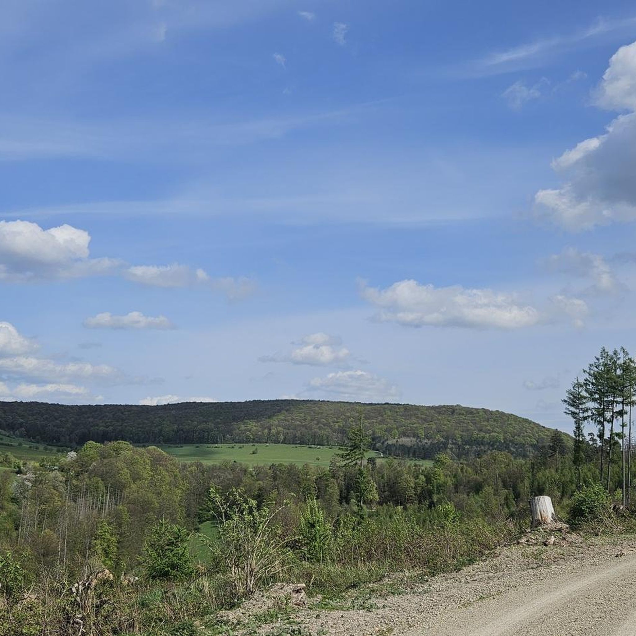
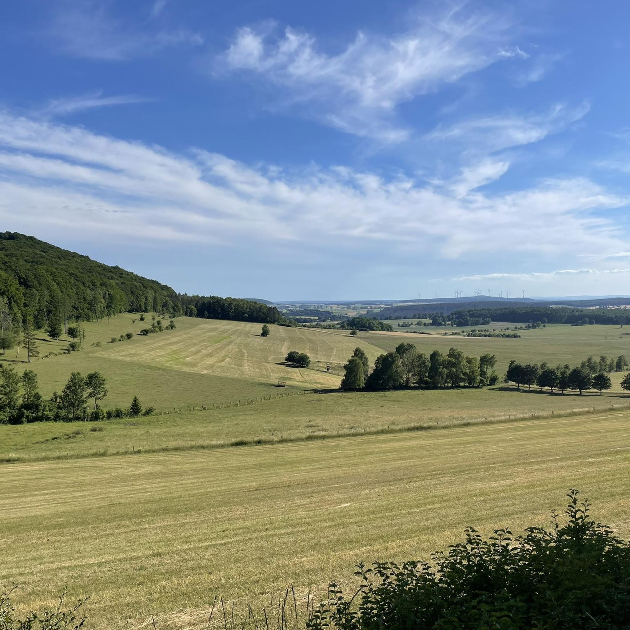
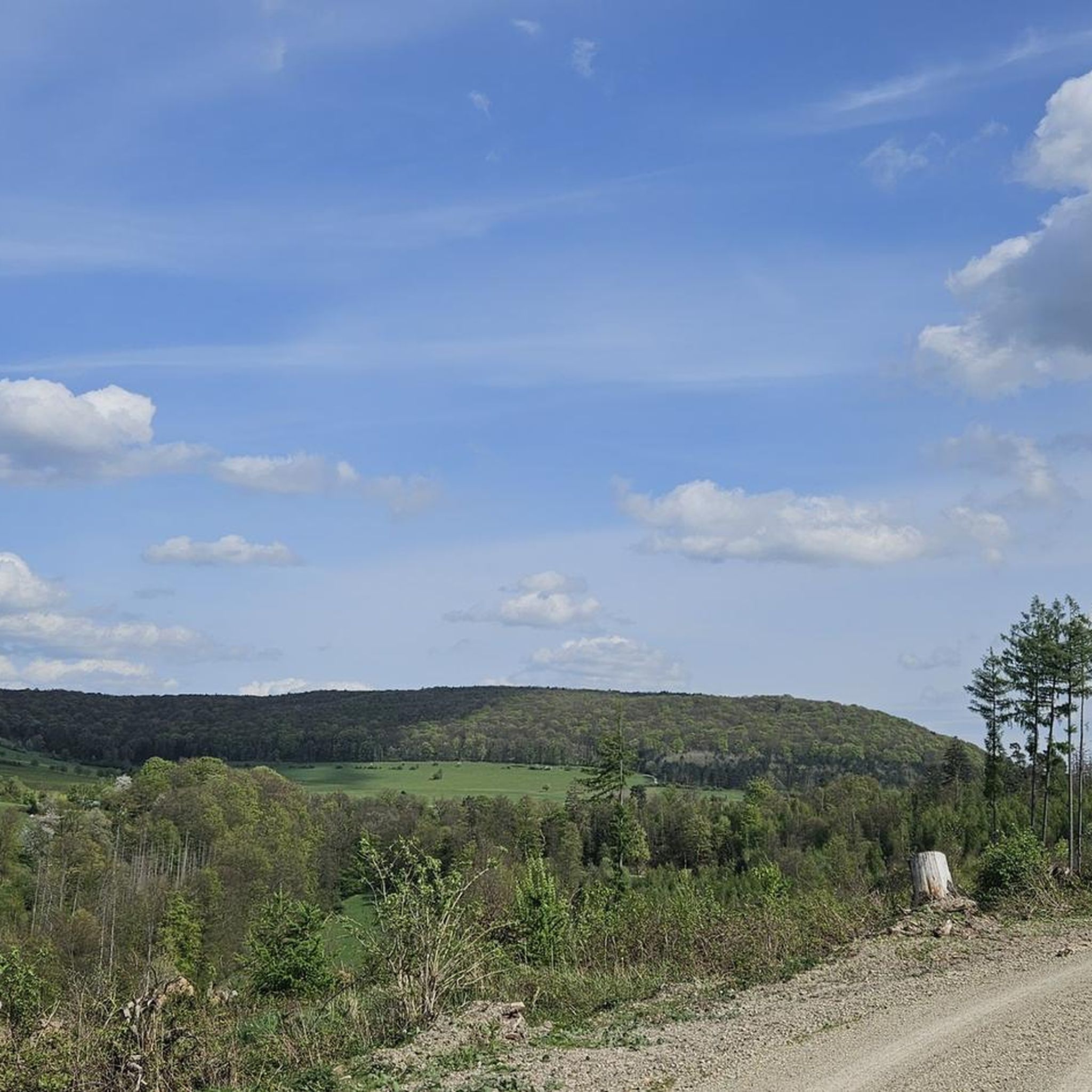
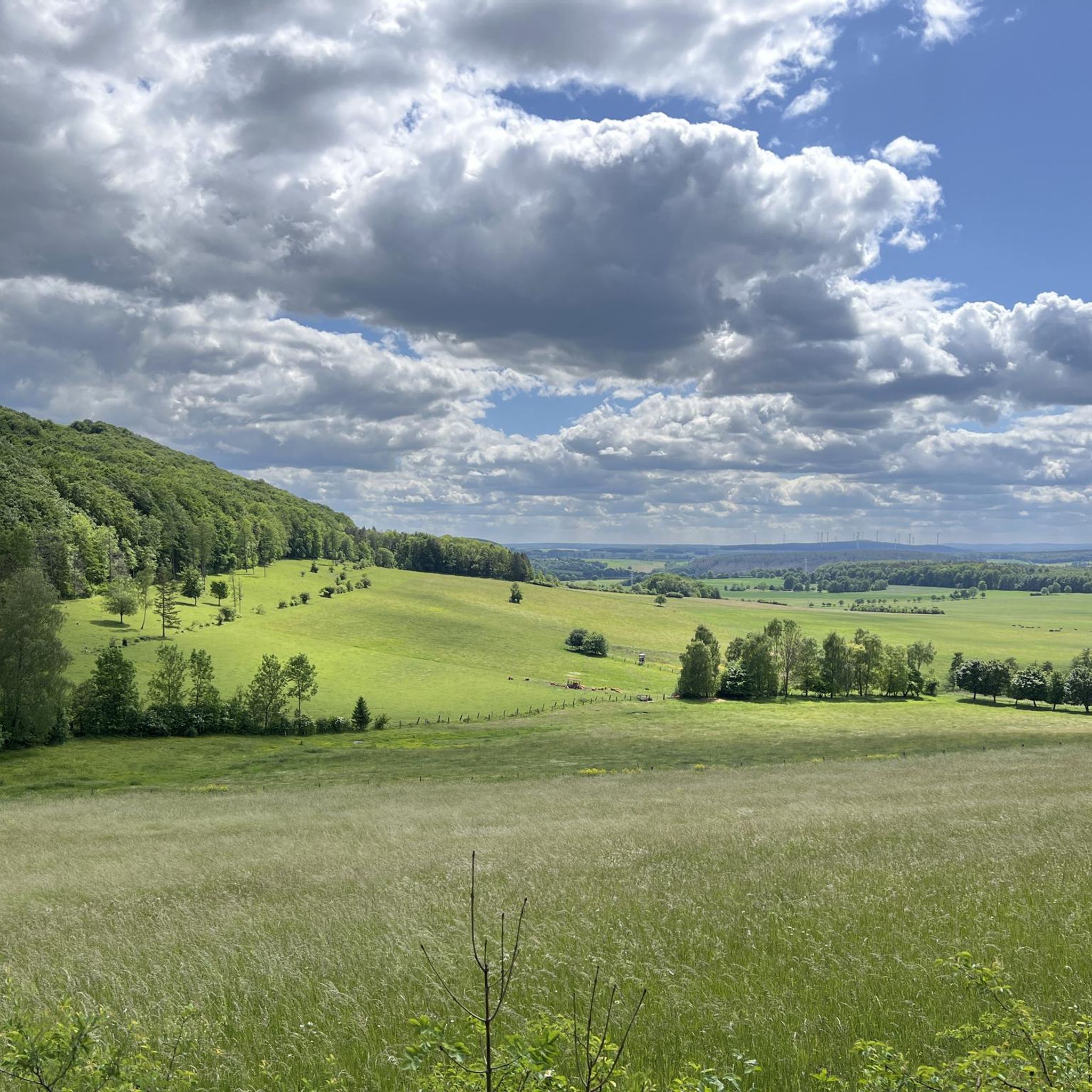
Mountain biking around Seulingswald offers diverse terrain within a sandstone hill range, characterized by extensive forested areas and varied topography. This region, part of the East Hesse Highlands, features one of Hesse's largest continuous woodlands, providing a natural environment for mountain bike trails. Elevations reach up to 480.3 meters above sea level, with prominent hills and deep valleys, creating dynamic routes for riders. The landscape is predominantly natural, with protected areas safeguarding its biodiversity.
Best mountain bike trails around Seulingswald
…Last updated: October 8, 2026
4.5
(4)
16
riders
Moderate mountain bike ride. Good fitness required. Advanced riding skills necessary.
4.7
(23)
48
riders
31.9km
02:01
340m
330m
Moderate mountain bike ride. Good fitness required. Suitable for all skill levels.

4.9
(7)
17
riders
30.7km
02:02
340m
340m
Moderate mountain bike ride. Good fitness required. Advanced riding skills necessary.
5.0
(1)
10
riders
Moderate mountain bike ride. Good fitness required. Suitable for all skill levels.
4.2
(5)
10
riders
24.6km
01:35
330m
330m
Moderate mountain bike ride. Good fitness required. Suitable for all skill levels.
Get access to more routes and recommendations from other explorers.
Already have an account?
Our route recommendations are based on thousands of hikes, rides, and runs completed by other people on komoot.
Start today with a free account
Your next adventure awaits.
Tips from the Community

Rest stop in the middle of the forest, good for a break
0
0

Among the shelters along the Rhön-Extratour "Dreienberg" trail, this one stands out particularly - besides the hut and outdoor seating, there is also a spring. Especially in summer, this shady spot is very pleasant. Although there is no view, the other shelters offer that.
2
0
A beautiful cycle path between the Werra river and the Obersuhl meadows, with plenty of trees.
0
0

The Vitus Fountain, dating from 1613, stands in the market square of Vacha in front of the red-timbered town hall. The statue depicts the city's patron saint, Saint Vitus, dressed as a Roman knight. His left hand hangs down, holding a shield that depicts his martyrdom.
0
0

Unmissable on the market square, the Vitus Fountain is a real eye-catcher. It was built in 1613 and renovated in 1818. The round sandstone basin contains a fountain column with reliefs from the life of the city's patron saint and is crowned with the figure of St. Vitus.
0
0

And a great place to rest on the Luther benches.
1
0

The village was first documented in 1183 as "the mill with accessories of Gozzelendorf." South of the highway, on a forest meadow, the ruins of the Gißlingskirche church have been preserved. The almost square choir tower, as the remains of the rib arches' attachment points reveal, was vaulted and accessible through the demolished church hall.
1
0
The route is very nice to ride up to the Gieslingskirche, after that it is only suitable for mountain bikes.
0
0
Frequently Asked Questions
How many mountain bike trails are available in Seulingswald?
Seulingswald offers a network of over 25 mountain bike trails. These routes cater to various skill levels, with 5 easy trails and 22 moderate trails, ensuring options for both beginners and experienced riders.
What kind of terrain can I expect when mountain biking in Seulingswald?
The terrain in Seulingswald is characterized by a sandstone hill range with extensive forested areas and varied topography. You'll encounter undulating paths, deep valleys with natural streams, and wooded ridges. Elevations reach up to 480.3 meters above sea level, providing dynamic routes with both challenging climbs and exhilarating descents.
Are there any easy mountain bike trails suitable for beginners in Seulingswald?
Yes, Seulingswald has 5 easy mountain bike trails that are suitable for beginners or those looking for a more relaxed ride. These paths typically have less demanding climbs and descents, allowing for a more gentle introduction to the region's beautiful forested landscapes.
Are there challenging mountain bike routes for advanced riders?
While there are no trails explicitly graded as 'difficult' in the current selection, the 22 moderate trails often feature undulating terrain and significant elevation changes that can provide a challenging experience for advanced riders. Routes like the Hammundeseiche – Knallhütte loop from Friedewald, at 44 km with over 420 meters of ascent, offer a substantial workout.
What do other mountain bikers enjoy most about Seulingswald?
The mountain bike trails in Seulingswald are highly rated by the komoot community, with an average score of 4.5 stars from over 60 reviews. Riders often praise the immersive experience within the region's dense, continuous woodlands, the varied topography, and the well-maintained natural forest paths that offer a true outdoor adventure.
Are there any circular mountain bike routes in Seulingswald?
Yes, many of the mountain bike trails in Seulingswald are designed as circular routes, allowing you to start and end at the same point. Examples include the Bad Hersfeld Abbey Ruins – Gießlingskirche Ruins loop from Friedewald and the War Memorial Philippsthal – Walterskirche Ruins loop from Herfa, which both offer scenic loops through the region.
What natural features or landmarks can I see along the mountain bike trails?
Seulingswald is rich in natural beauty and historical landmarks. Along the trails, you might encounter features like the Kathuser Seeloch Natural Monument or the tranquil Jungbluth Pond. The region's deep valleys and natural streams also add to the scenic experience.
Are there any historical sites or points of interest near the mountain bike routes?
Yes, several historical sites are accessible from the mountain bike trails. You can explore the Friedewald Water Castle, the ancient Dreienburg Ruins, or the Gießlingskirche Ruins. These offer interesting stops and a glimpse into the region's past.
What is the best season for mountain biking in Seulingswald?
Given its extensive forested areas, Seulingswald is generally pleasant for mountain biking from spring through autumn. The dense tree cover provides shade in warmer months, and the autumn foliage offers a particularly scenic backdrop. Winter riding might be possible, but conditions can vary, with potential for snow or ice on trails.
Are there mountain bike routes that pass by the Friedewald Water Castle?
Yes, there are routes that incorporate the Friedewald Water Castle. For instance, the Friedewald Water Castle – Landecker Plateau Rest Area loop from Friedewald is a moderate 31 km trail that starts and ends near this historic landmark, offering a chance to see it before or after your ride.
How long do mountain bike tours in Seulingswald typically take?
The duration of mountain bike tours in Seulingswald varies depending on the route length and your pace. Moderate trails, which are common in the area, can range from approximately 2 hours for shorter loops like the Bad Hersfeld Abbey Ruins – Gießlingskirche Ruins loop from Friedewald (32 km), to over 3 hours for longer routes such as the Hammundeseiche – Knallhütte loop from Friedewald (44 km).
Most popular routes around Seulingswald
Most popular attractions around Seulingswald

Get inspired with the komoot mobile app


Explore more
Browse the best MTB trails in other regions.
