The best walks and hikes around Seulingswald
4.6
(7910)
26,731
hikers
98
hikes
Hiking around Seulingswald offers extensive woodlands, diverse topography, and varied natural features. This hill range, part of the Fulda-Werra Uplands, is characterized by its sandstone geology and rolling hills, with elevations reaching up to 480 meters. The region features a significant contiguous woodland area, providing a natural setting for forest hikes, and is bordered by the Ulfe and Werra rivers. A central portion of Seulingswald is designated as a protected landscape, highlighting its ecological importance.
Best hiking trails around Seulingswald
- The most popular hiking route is Wildflower Meadow Dreienberg – View of Friedewald Castle loop from Friedewald, a 5.0 miles (8.0 km) trail that takes 2 hours 17 minutes to complete. This moderate route offers views towards Friedewald Castle.
- Another top favourite among local hikers is Friedewald Water Castle – Dreienberg Nature Trail loop from Friedewald, an easy 3.2 miles (5.1 km) path. This trail leads through natural woodland, starting near the historic water castle.
- Local hikers also love the Friedewald Water Castle – August Spies Memorial loop from Friedewald, a 4.5 miles (7.3 km) trail leading through varied forest terrain, often completed in about 2 hours 1 minute.
- Hiking around Seulingswald is defined by extensive woodlands, sandstone formations, and rolling hills. The network offers options for easy, moderate, and challenging ability levels.
- The routes in Seulingswald are highly rated by the komoot community with an average score of 4.6 stars from over 200 reviews. More than 900 hikers have used komoot to explore Seulingswald's varied terrain.
Last updated: October 8, 2026
4.7
(41)
133
hikers
Moderate hike. Good fitness required. Easily-accessible paths. Suitable for all skill levels.
4.8
(31)
103
hikers
Easy hike. Great for any fitness level. Easily-accessible paths. Suitable for all skill levels.

4.9
(14)
46
hikers
Easy hike. Great for any fitness level. Easily-accessible paths. Suitable for all skill levels.
4.6
(31)
93
hikers
6.07km
01:42
120m
120m
Easy hike. Great for any fitness level. Easily-accessible paths. Suitable for all skill levels.
4.3
(12)
45
hikers
7.68km
02:07
130m
140m
Moderate hike. Good fitness required. Easily-accessible paths. Suitable for all skill levels.
Get access to more routes and recommendations from other explorers.
Already have an account?
Our route recommendations are based on thousands of hikes, rides, and runs completed by other people on komoot.
Start today with a free account
Your next adventure awaits.
Tips from the Community


An evangelical church that appears simple and unpretentious both inside and out. All the more reason for the organ, with its baroque facade, to be the eye-catcher. The instrument was replaced by a new one in 1896. However, the facade still dates from the Schlottmann organ from 1752. Johannes Schlottmann (1726-1795) temporarily ran his organ-building workshop here in Friedewald. He is a truly tragic figure in music history. Envy from competitors, but certainly also too little business acumen, repeatedly got him into difficulties, including insolvency and imprisonment. His Friedewald workshop was auctioned off, and he worked as a travelling organ builder. The organs that have survived from him are nevertheless of remarkable quality.
1
0
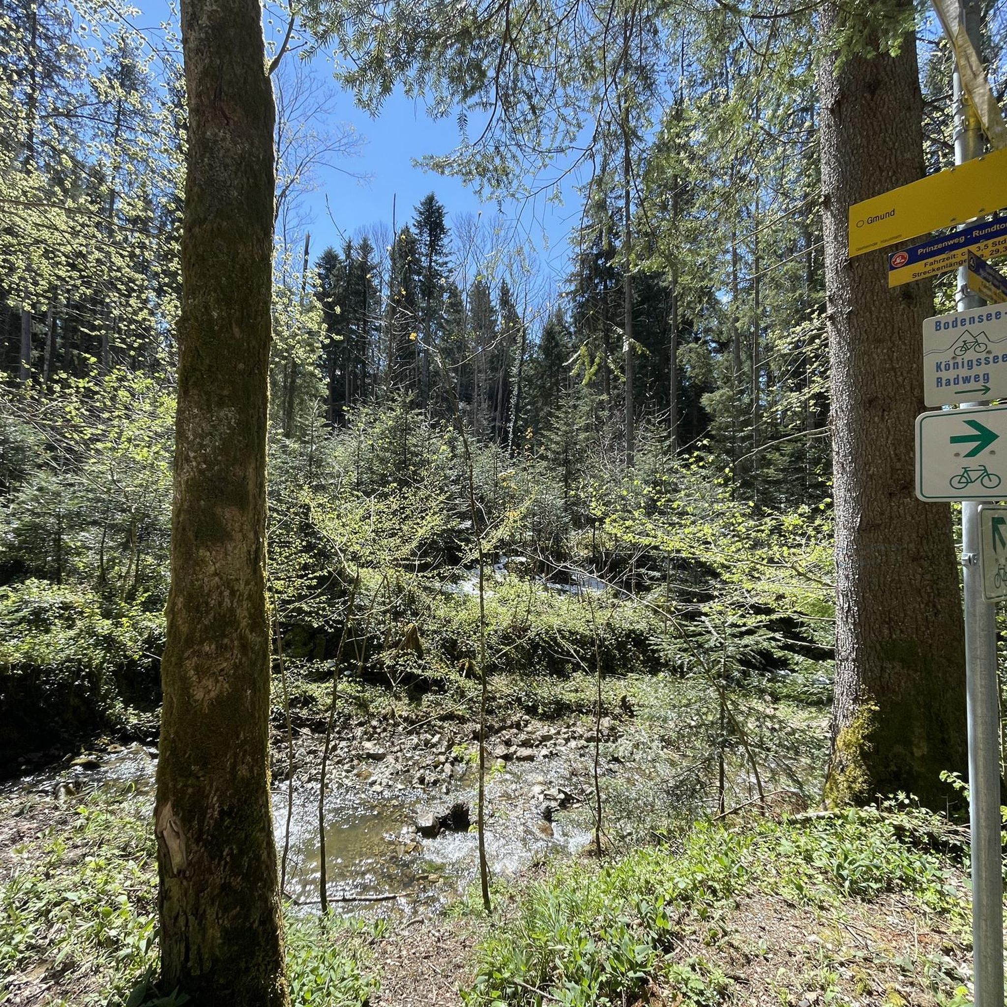
The Rhön-Extratour "Dreienberg" around the northernmost mountain in the Rhön measures just over 8 km. As an Extratour, the trail is not only well signposted; numerous information boards about flora, fauna, and geology, like this one, guide and accompany you along the way.
1
0
Among the shelters along the Rhön-Extratour "Dreienberg" trail, this one stands out particularly - besides the hut and outdoor seating, there is also a spring. Especially in summer, this shady spot is very pleasant. Although there is no view, the other shelters offer that.
2
0
Elsewhere on the Dreienberg-Extratour there are only individual benches and the space in the shelters is also rather limited. Here, therefore, everything is a bit more generous. But no roof and therefore no weather protection, if it were necessary.
1
0
The Rhön-Extratour "Dreienberg" around the northernmost mountain of the Rhön measures just over 8 km. As an Extratour, the path is not only well signposted, but numerous panels with hiking maps and information on flora, fauna and geology, as here, guide and accompany you along the way.
1
0
Jams, eggs, ice cream and whatever the current season offers - here you can buy one or two original regional products after your hike.
1
0
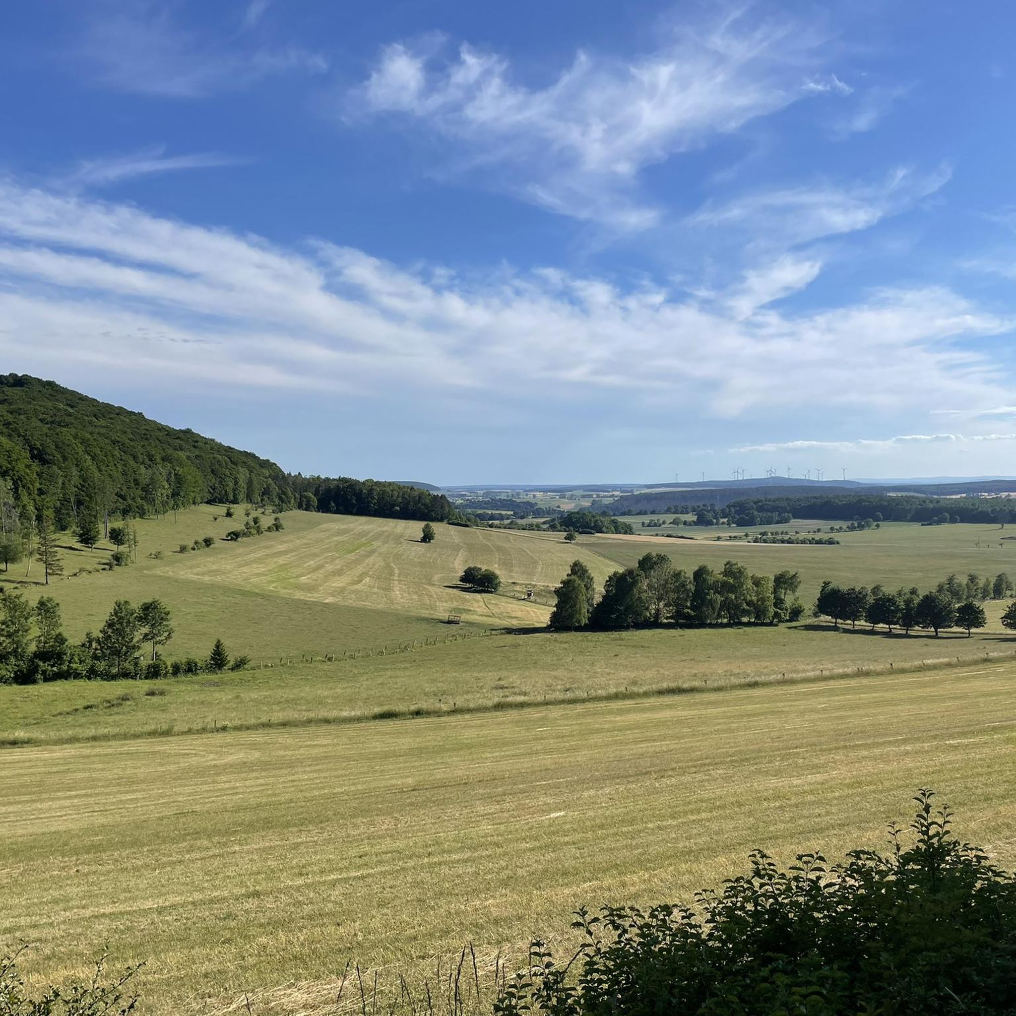
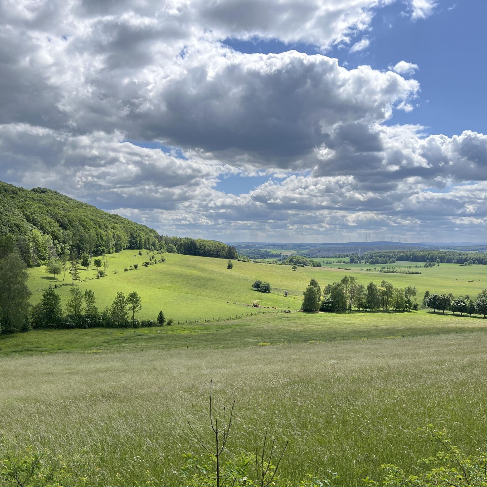
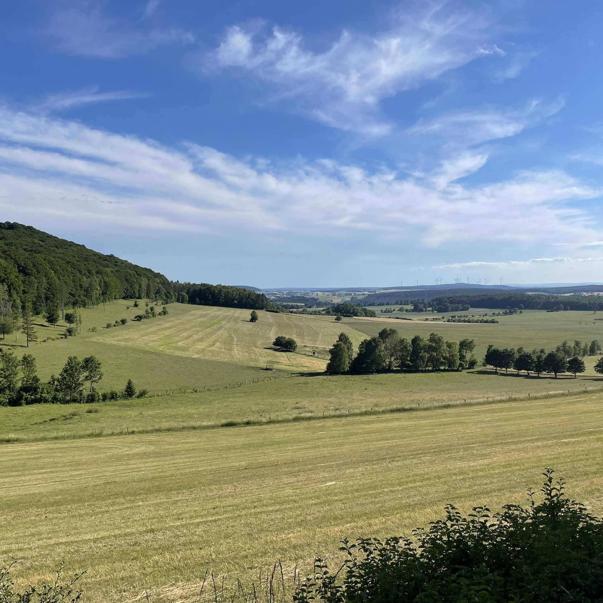
A "Schlossblick-Bilderrahmen" (Castle View Picture Frame) here emphasizes the special view of Friedewald. However, the view through the tall trees is not quite as good. The view is significantly better at the shelter located a bit further south.
1
0
Frequently Asked Questions
How many hiking trails are available in Seulingswald?
The Seulingswald region offers a wide selection of hiking routes, with over 80 trails recorded on komoot. These range from easy strolls to more challenging treks, ensuring options for various fitness levels.
What kind of terrain can I expect when hiking in Seulingswald?
Seulingswald is characterized by its extensive woodlands, rolling hills, and sandstone geology. You can expect varied forest terrain, with elevations reaching up to 480 meters, offering both gentle paths and more demanding ascents.
Are there any family-friendly hiking options in Seulingswald?
Yes, Seulingswald offers several easy routes suitable for families. For example, the Friedewald Water Castle – Dreienberg Nature Trail loop from Friedewald is an easy 3.2-mile (5.1 km) path that leads through natural woodland, starting near the historic water castle. Many huts and cabins in the area also provide amenities like playgrounds, making them great resting spots for families.
Can I bring my dog on the hiking trails in Seulingswald?
While specific regulations for dogs vary, the natural and extensive woodland character of Seulingswald generally makes it a welcoming area for dog walkers. It's always recommended to keep your dog on a leash, especially in protected areas or near wildlife, and to respect local signage.
What are some notable natural features or landmarks to look out for during a hike?
Seulingswald is rich in natural beauty and historical sites. You can explore the Stone cairns on Dreienberg, or discover the unique Nadelöhr in the Seulingswald. The region also features the Kathuser Seeloch Natural Monument and the Stärkelsbach spring. For historical interest, the Ruine Dreienburg (Dreienburg castle ruins) is a significant attraction.
Are there any circular hiking routes available?
Yes, many of the trails in Seulingswald are designed as circular routes, allowing you to start and end at the same point. An example is the View of Rotenburg – View of Soilsberg loop from Säulingssee bei Kleinensee, which offers scenic views over approximately 7 km.
What is the best time of year to go hiking in Seulingswald?
Seulingswald offers beautiful hiking experiences throughout the year. The extensive woodlands are particularly stunning in spring with fresh greenery and in autumn with vibrant fall colors. Summer provides pleasant shade under the trees, while winter can offer serene, snow-covered landscapes, though some paths might be more challenging.
Are there good viewpoints or panoramic vistas in the region?
Yes, the varied topography of Seulingswald provides several opportunities for scenic views. An observation tower near Bodesruh offers expansive views, including the impressive Monte Kali and stretching towards the Thuringian Forest. You can also find great perspectives like the View of Friedewald from the Dreienberg shelter.
What do other hikers enjoy most about Seulingswald?
The area is highly rated by the komoot community, with an average score of 4.6 stars from over 200 reviews. Reviewers often praise the quiet, extensive woodlands, the diverse topography, and the well-maintained paths that cater to various skill levels.
Is there parking available at the trailheads?
While specific parking information for every trailhead is not detailed, many hiking areas in Germany, especially those with popular routes, typically offer designated parking facilities. It is advisable to check the starting point of your chosen route on komoot for specific parking recommendations.
Are there any routes that pass by water features?
Yes, the Seulingswald is bordered by the Ulfe valley to the north and the Werra river to the east, and the Fulda river to its west. The presence of 'Säulingssee bei Kleinensee' in a route name, such as the View of Rotenburg – View of Soilsberg loop from Säulingssee bei Kleinensee, indicates that some trails incorporate lakes or ponds, enhancing the hiking experience with water views.
Are there any easy routes for a relaxed walk?
Absolutely. Seulingswald offers numerous easy routes perfect for a relaxed walk. The Monte Kali Bodesruh – Witches' Dance Plateau at Monte Kali loop from Säulingssee bei Kleinensee is an easy 5.4 km (3.4 miles) path, ideal for a leisurely stroll through the landscape.
Most popular routes around Seulingswald
Most popular attractions around Seulingswald

Get inspired with the komoot mobile app


Explore more
Browse the best Hikes in other regions.
