The 9 Most Amazing Peaks around Gouaux-De-Larboust
Mountain peaks around Gouaux-De-Larboust offer a diverse mountainous landscape in the central French Pyrenees. This region is characterized by high altitudes, glacial valleys, and varied terrain, providing experiences for hikers and nature enthusiasts. Gouaux-De-Larboust, situated at 1,340 meters, serves as a base for exploring these natural attractions. The area features landscapes ranging from forests and pastures to steep slopes and high-altitude rock formations.
Best mountain peaks around Gouaux-De-Larboust
- The most popular mountain peaks is Col de Val Louron-Azet, a…
Last updated: September 27, 2026
Col de Val Louron-Azet
Highlight • Mountain Pass
Translated by Google •
Tip by

Perdiguero Peak
Highlight • Summit
Translated by Google •
Tip by

Sign up now to discover places like this
Get recommendations on the best single tracks, peaks, & plenty of other exciting outdoor places.
Portillon Refuge
Highlight • Mountain Hut
Translated by Google •
Tip by

Superbagnères Summit (1804 m)
Highlight • Summit
Tip by

Mount Né
Highlight • Summit
Translated by Google •
Tip by

Sign up for free to discover even more peaks around Gouaux-De-Larboust.
Already have an account?
Start today with a free account
Your next adventure awaits.

Tips from the Community

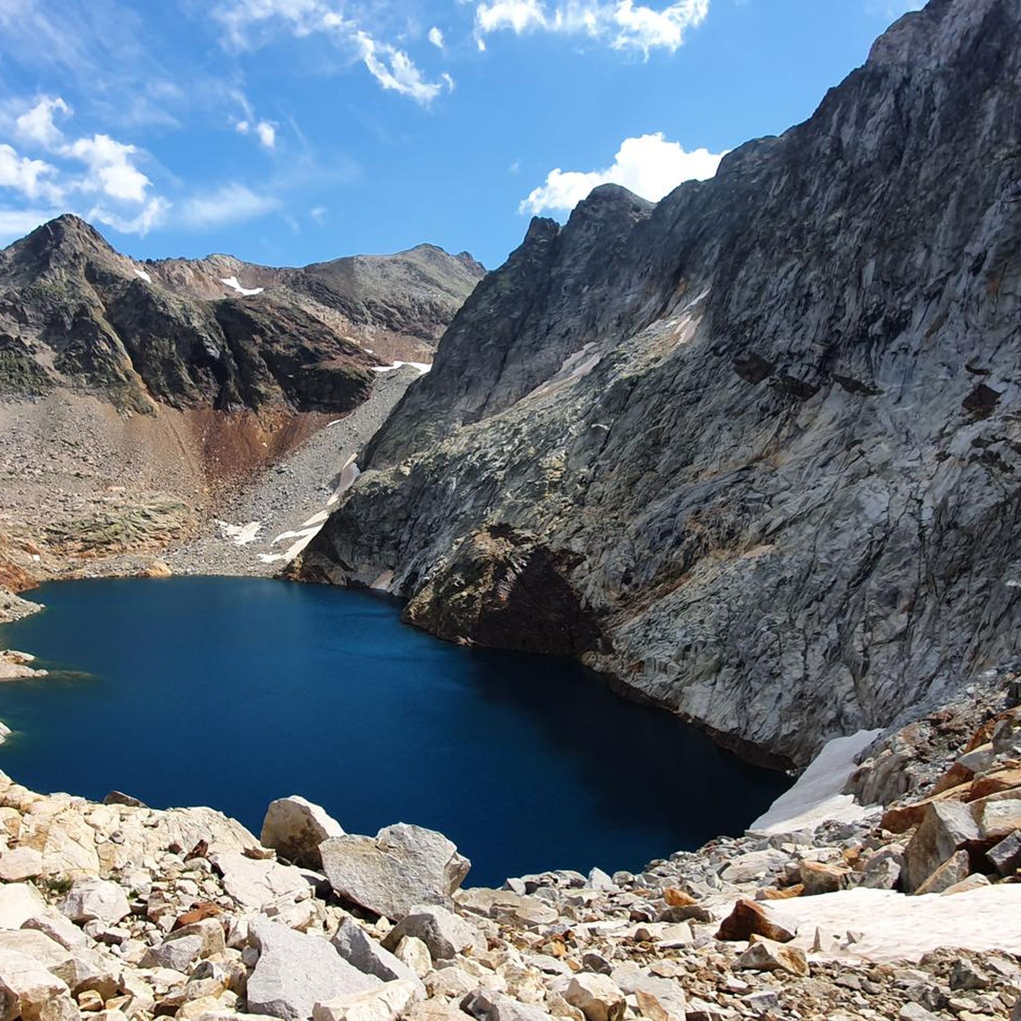
There is a camping option behind the hut. Hot meals and drinks can be ordered. Dinner and breakfast must be reserved.
2
0

Passes reserved for cyclists 9-12 p.m. this Monday 07/15, happiness!
0
0


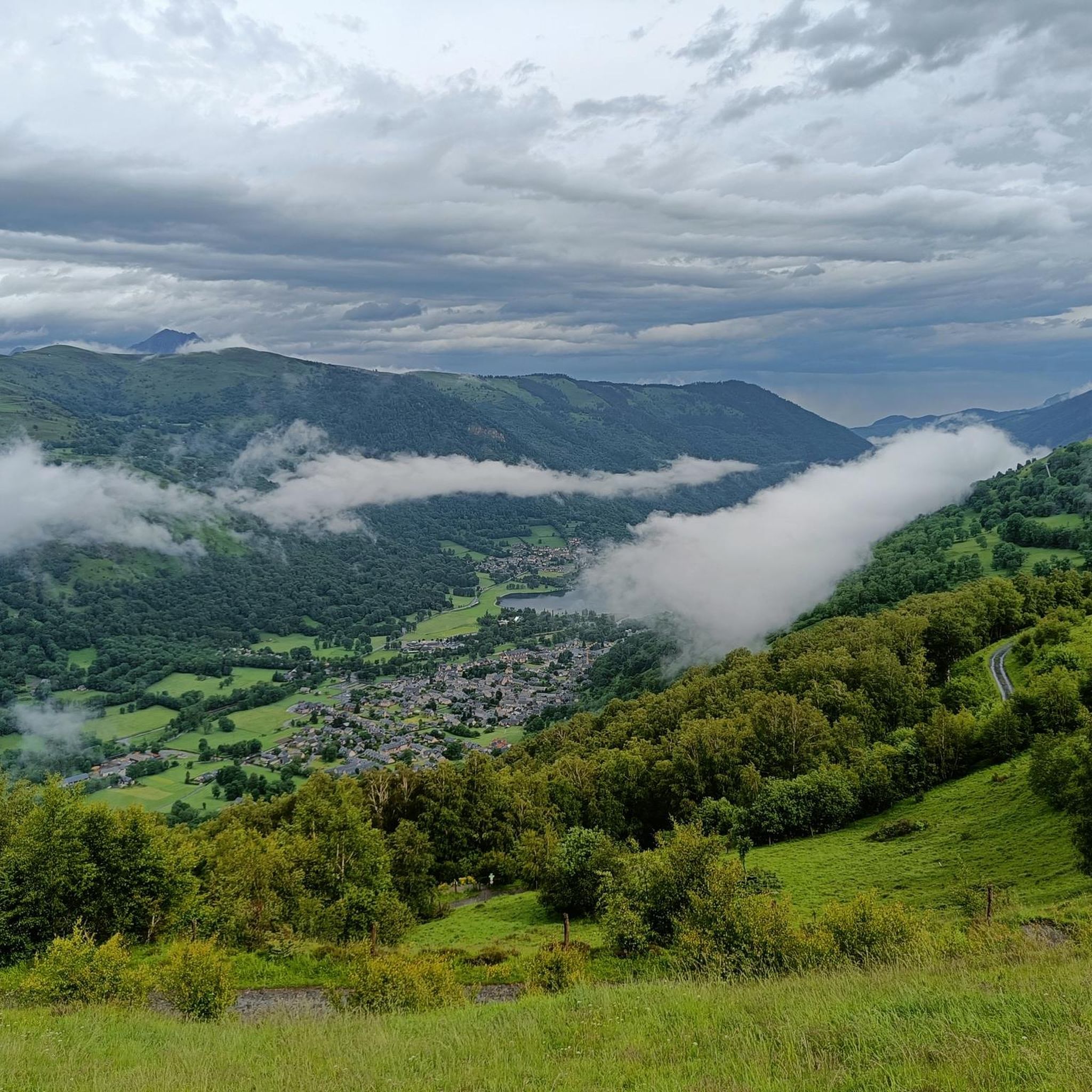
The climb to Superbagnères was psychologically very difficult for me because it is covered by the valley and the trees that cover the road. It is a long climb, with very hard initial and final areas, and an intermediate area with some rest. My experience was very hard because of the intense heat and the long initial straights that the port has. The final part, in addition to being hard, is truly spectacular and the effort and suffering are worth it. The views from the ski resort are incredible!
1
0

There is a nice and calm cafeteria at the top with an elevated terrace. Its a super nice place for a coke/coffee with an amazing view.
1
0

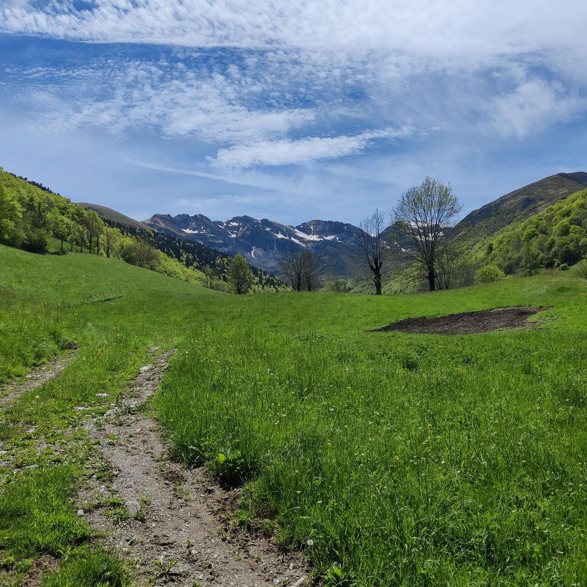
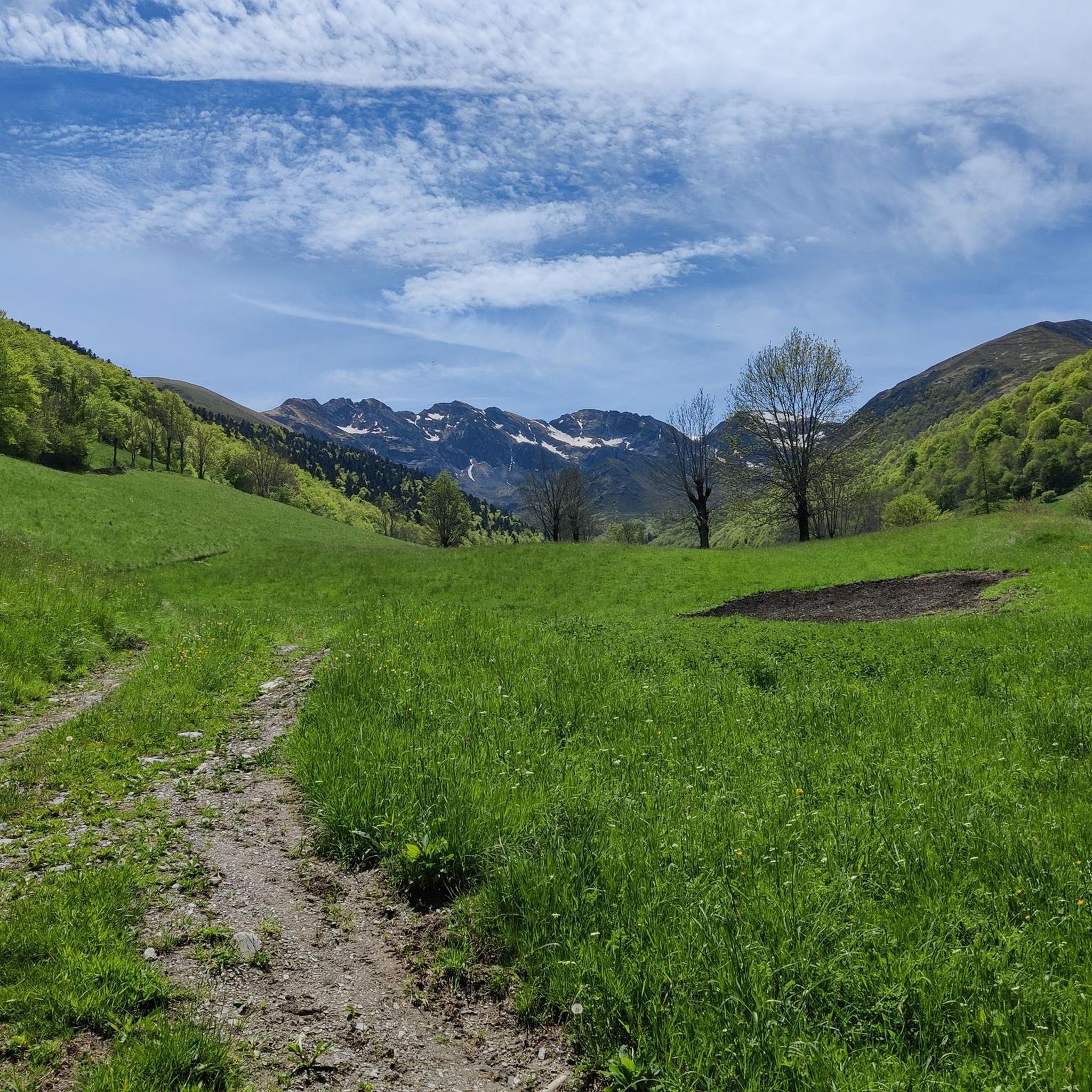
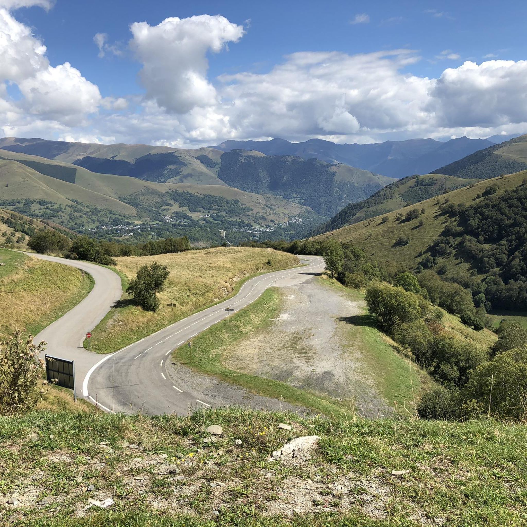
The Col d'Azet is a road mountain pass located at 1,585 meters above sea level. It allows you to go from the Aure valley to the Louron valley. It is one of the 34 passes connected by the famous pass road.
0
0

Located in the Louron valley, the Col d'Azet peaks at an altitude of 1,580 meters. This passage connects the village of Loudenvielle and that of Azet on the heights of Saint-Lary-Soulan. The ascent from Lake Génos is 7.5 kilometers for an average of 8.3% with some passages at 13%.
1
0
Culminating at 3,222 meters above sea level, the Perdiguère peak dominates a magnificent ridge that includes several peaks exceeding 3,000 meters. Located on the Franco-Spanish border, it dominates the massif of the same name offering an absolutely incredible 360 degree panorama.
2
0
Frequently Asked Questions
What are some of the most challenging mountain peaks for experienced mountaineers near Gouaux-de-Larboust?
For experienced mountaineers seeking strenuous climbs, the region offers several high-altitude challenges. Pic Perdiguère (3,222 m) and Pic des Spijeoles (3,065 m) are among the highest, often requiring demanding treks. Another significant peak is Grand Quayrat (3,060 m), which provides a thrilling challenge with steep and sometimes technical passages, offering magnificent panoramas over the Luchonnais area. You can access many of these peaks from the Portillon Refuge.
Are there any mountain passes popular with cyclists in the Gouaux-de-Larboust region?
Yes, the region is famous for its challenging mountain passes, particularly popular with cyclists. The Col de Val Louron-Azet (1,580 m) is known for its demanding 7.5-kilometer ascent with an average gradient of 8.3%. The Col de Peyresourde (1,589 m), located just 2 km from Gouaux-de-Larboust, is another legendary pass, famous for its role in cycling races with an emblematic climb stretching over 13.74 kilometers.
What are some notable natural features or viewpoints to explore around Gouaux-de-Larboust?
The area boasts stunning natural features and viewpoints. The Lac d'Oô (1,507 m) is a must-see, featuring a spectacular 275-meter waterfall. The Superbagnères Summit (1804 m) offers breathtaking 360-degree views over the Luchon Valley. Additionally, the Esquierry Pass (2,131 m) provides a magnificent panorama of the two valleys it separates.
Are there any mountain huts or refuges available for multi-day treks near Gouaux-de-Larboust?
Yes, for those planning multi-day treks, the Portillon Refuge is located at 2,570 meters on the edge of a lake, providing access to many high peaks. There are also refuges like Refuge d'Espingo and Refuge Jean Arlaud, which can serve as overnight stops for longer excursions, particularly when exploring the higher lakes like Lac d'Espingo and Lac du Portillon.
What kind of terrain can I expect on mountain trails near Gouaux-de-Larboust?
The terrain around Gouaux-de-Larboust is highly diverse, ranging from forests and pastures at lower altitudes to steep slopes and high-altitude rock formations. You can expect ancient glacial valleys, rocky trails, and challenging ascents, especially on routes to higher peaks. The landscape is typical of the central Pyrenees, offering varied experiences for different skill levels.
Are there options for ski touring in the Gouaux-de-Larboust area?
Yes, the peaks around Gouaux-de-Larboust are particularly appealing for ski touring during winter. Cap des Hittes (2,368 m) and Montségu are known for offering good snow conditions and scenic descents. The route to Cap des Hittes often involves following part of the "Vallée Blanche" off-piste itinerary from the Peyragudes ski resort, providing excellent viewpoints of the higher Pyrenean summits.
What are some family-friendly hiking options near Gouaux-de-Larboust?
For family-friendly options, the hike to Lac d'Oô is considered moderately challenging with rocky trails, leading to clear, turquoise waters and a spectacular waterfall. While specific details for Sommet de Pouyaué are less comprehensive, its inclusion in hiking guides suggests it offers accessible and enjoyable trails with pleasant scenery, likely suitable for moderate family hikes without extreme challenges.
When is the best time of year to visit the mountain peaks around Gouaux-de-Larboust?
The best time to visit depends on your desired activity. For hiking and mountaineering, the summer months (June to September) generally offer the most favorable weather conditions with less snow at higher altitudes. For ski touring, winter and early spring (December to April) provide the best snow conditions. Always check local weather forecasts and trail conditions before heading out, as mountain weather can change rapidly.
What outdoor activities can I do near the mountain peaks around Gouaux-de-Larboust?
Beyond hiking and mountaineering, the region offers a variety of outdoor activities. You can explore numerous mountain biking trails, including routes like the "Pumptrack – Loudenvielle loop" or the "Lake Génos-Loudenvielle – Peyresourde Pass loop." There are also running trails, such as the "Les Granges d'Astau – Lac d'Oô loop," and gravel biking routes like the "Lake Génos – Panorama vers Loudervielle loop." For more details, you can check out the guides for MTB Trails, Running Trails, and Gravel Biking around Gouaux-De-Larboust.
Are there any specific regulations or permits required for hiking in the Pyrenees near Gouaux-de-Larboust?
Generally, for day hikes in the Pyrenees around Gouaux-de-Larboust, specific permits are not required for accessing trails. However, if you plan to stay overnight in certain refuges, it is advisable to make reservations, especially during peak season. Always respect local regulations regarding nature conservation, waste disposal, and wildlife protection. For specific areas or activities, it's always best to check with local tourist offices or park authorities for the most up-to-date information.
What are the highest peaks in the Gouaux-de-Larboust area?
The highest peaks in the immediate vicinity of Gouaux-de-Larboust include Pic Perdiguère, which culminates at 3,222 meters above sea level, and Pic des Spijeoles at 3,065 meters. These are part of the high mountain landscape typical of the central Pyrenees and offer true high-mountain experiences.
Can I find accommodation or places to eat near the mountain trails?
Gouaux-de-Larboust itself is an authentic mountain village at 1,340 meters, providing a base with some accommodation options. Along popular hiking routes, you'll find mountain refuges like the Portillon Refuge, which offers beds and hot meals. The area around the lakes, such as Lac d'Oô, also has refuges. Additionally, nearby towns and villages will offer cafes, pubs, and restaurants.
Most popular routes around Gouaux-De-Larboust
Most popular attractions around Gouaux-De-Larboust

Get inspired with the komoot mobile app


Explore more
See even more amazing summits around Gouaux-De-Larboust with these guides:
