The best running trails in the Aquarius Plateau
4.5
(13)
953
runners
39
runs
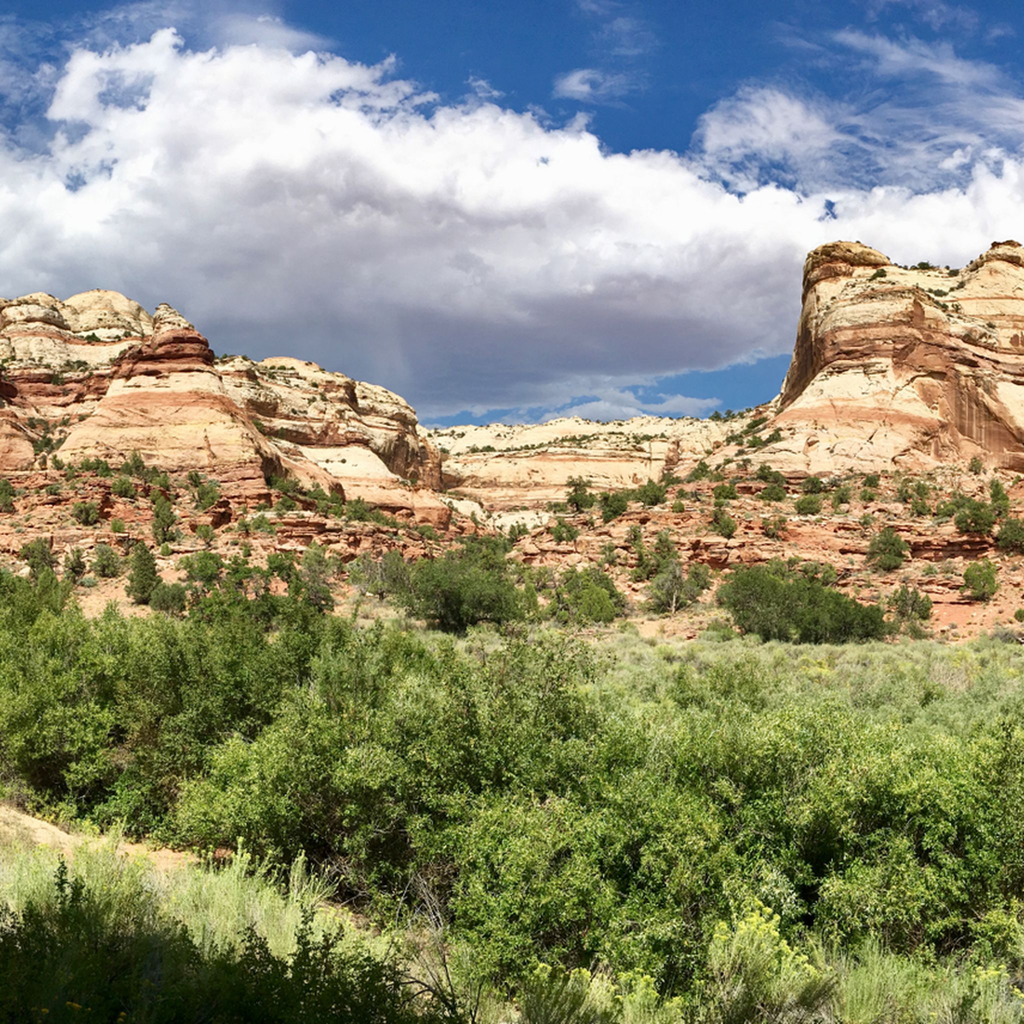
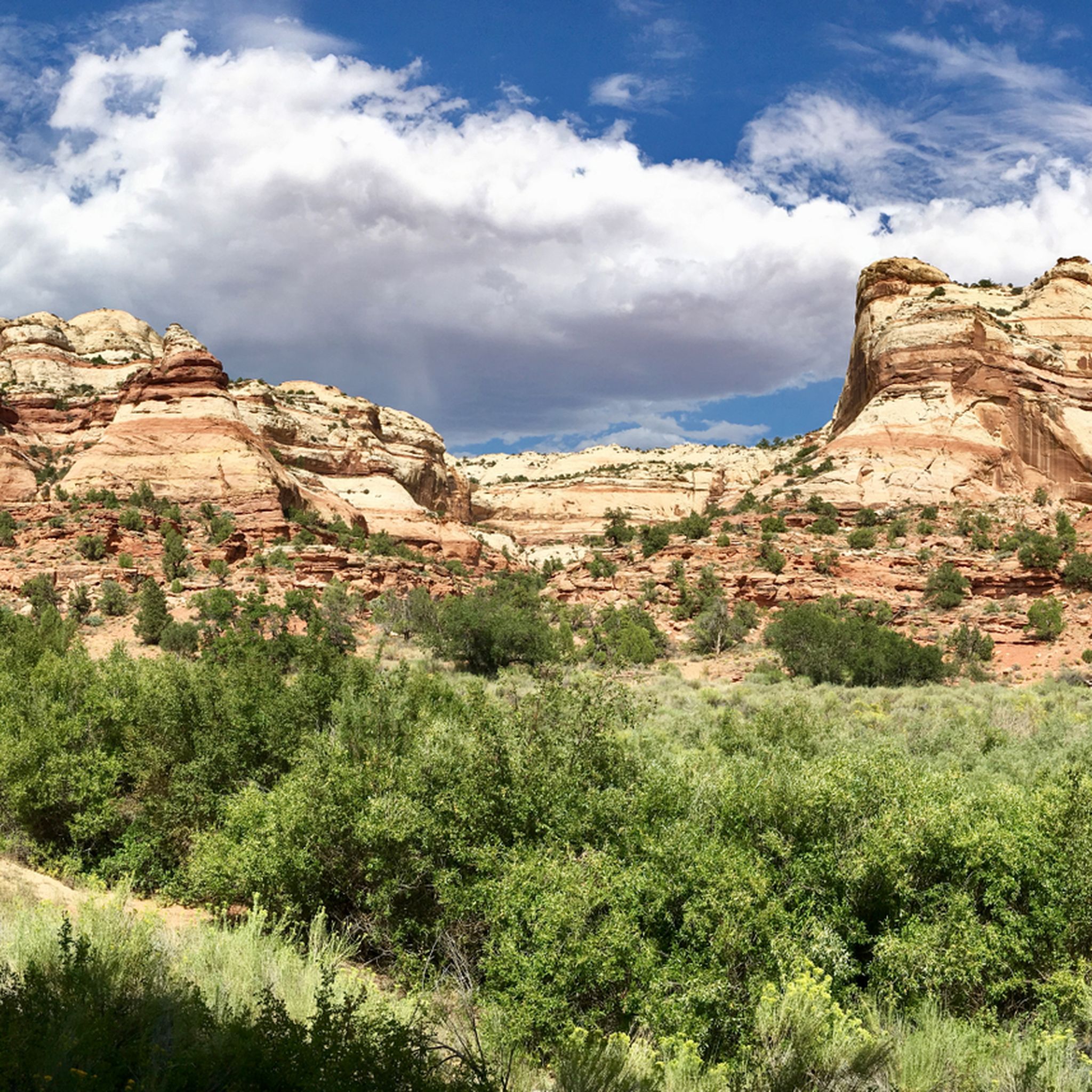
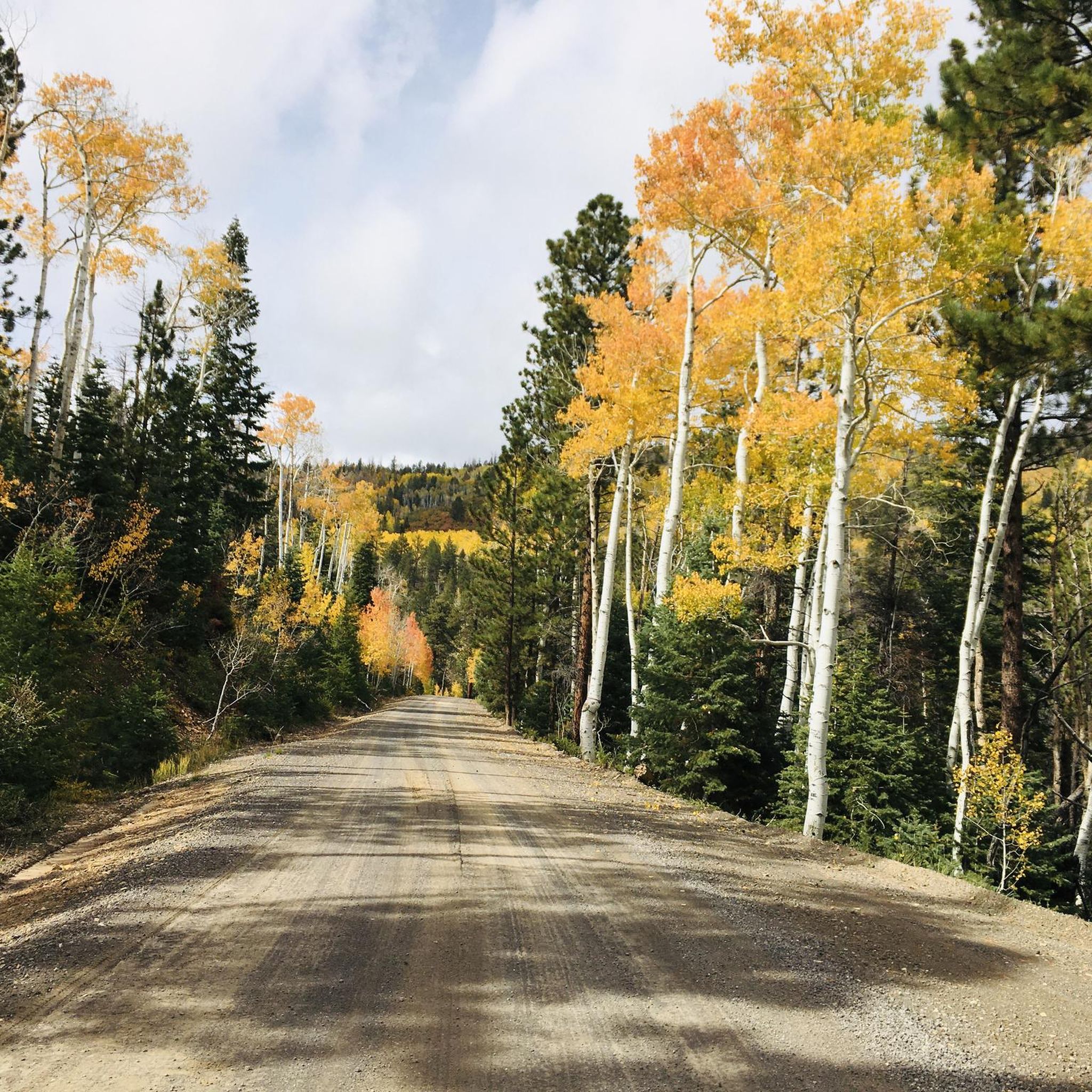
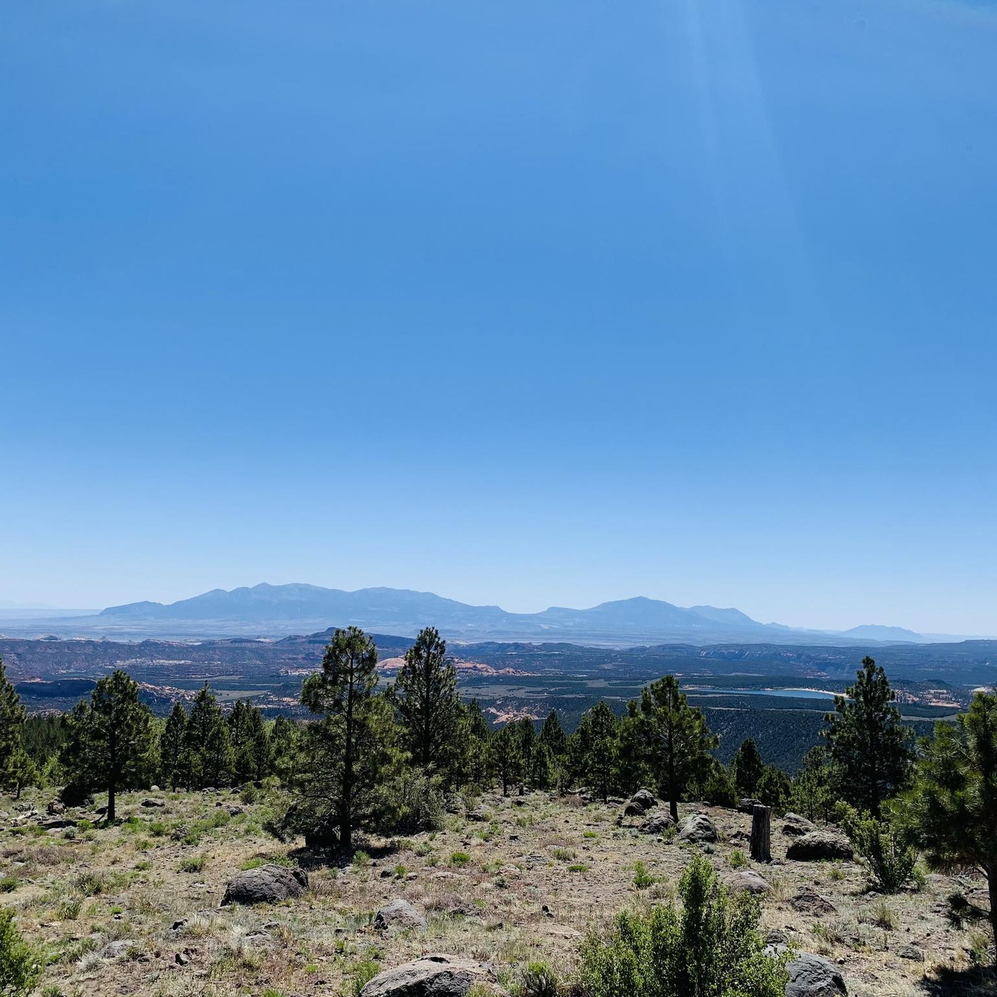
Jogging in the Aquarius Plateau offers diverse running experiences across its elevated landscapes, characterized by high elevations, dense forests, and subalpine meadows. The region features varied terrain, from canyons and red rock formations to multi-use paths, providing a mix of challenging ascents and gradual routes. Much of the area is covered by the Dixie National Forest, with aspen, spruce, and fir trees, creating a shaded and scenic environment for running. The plateau's environment supports a range of running styles, from…
Last updated: June 24, 2026
5.0
(2)
120
runners
12.2km
01:41
400m
400m
Hard run. Very good fitness required. Mostly paved surfaces. Suitable for all skill levels.
3.0
(1)
24
runners
Moderate run. Good fitness required. Mostly paved surfaces. Suitable for all skill levels.

Sign up for free
27
runners
12.5km
01:46
470m
470m
Hard run. Very good fitness required. Mostly paved surfaces. Suitable for all skill levels.
5.0
(1)
19
runners
Moderate run. Good fitness required. Mostly paved surfaces. Suitable for all skill levels.
2.0
(1)
8
runners
4.70km
00:29
40m
40m
Easy run. Great for any fitness level. Mostly paved surfaces. Suitable for all skill levels.
5.0
(1)
6
runners
10.8km
01:09
100m
100m
Moderate run. Good fitness required. Mostly paved surfaces. Suitable for all skill levels.
5.0
(1)
3
runners
4.30km
00:27
30m
30m
Easy run. Great for any fitness level. Mostly paved surfaces. Suitable for all skill levels.
2
runners
5.31km
00:33
40m
40m
Moderate run. Good fitness required. Mostly paved surfaces. Suitable for all skill levels.
Get access to more routes and recommendations from other explorers.
Sign up for free
Already have an account?
Our route recommendations are based on thousands of hikes, rides, and runs completed by other people on komoot.
Start today with a free account
Your next adventure awaits.
Login or Signup
Tips from the Community

A stunningly beautiful hike in Bryce Canyon. The Navajo Peekaboo Loop is a popular and challenging hike in Bryce Canyon National Park, connecting two of the most famous trails in the Bryce Amphitheater. Impressive, narrow switchbacks lead steeply down into the canyon and past rock formations with imaginative names like Thor's Hammer and Wall Street.
0
0
A stunningly beautiful hike in Bryce Canyon. The Navajo Peekaboo Loop is a popular and challenging hike in Bryce Canyon National Park, connecting two of the most famous trails in the Bryce Amphitheater. Impressive, narrow switchbacks lead steeply down into the canyon and past rock formations with imaginative names like Thor's Hammer and Wall Street.
0
0
A stunningly beautiful hike in Bryce Canyon. The Navajo Peekaboo Loop is a popular and challenging hike in Bryce Canyon National Park, connecting two of the most famous trails in the Bryce Amphitheater. Impressive, narrow switchbacks lead steeply down into the canyon and past rock formations with imaginative names like Thor's Hammer and Wall Street.
0
0

Great view of the historic Tropic Ditch. Tropic Ditch is a 10‑mile hand‑dug irrigation canal that was ompleted by Mormon settlers in 1892.
0
0
The Bryce Canyon Multi-use Path is an 18-mile path that connects the hoodoos of Red Canyon with Inspiration Point. The trail is fully paved and popular with walkers, runners, and cyclists.
0
0

Rim Trailhead (North) is a great starting point for a run or a walk along Bryce Canyon’s famous rim. The trail gives you wide views over the hoodoos right from the start, with a mostly flat and runnable surface if you head toward Fairyland Point. Expect big views, soft dirt underfoot, and plenty of reasons to pause and take it all in.
0
0
Peek-a-Boo Arch is a small, door-shaped arch with almost perfect geometry. It’s just a short detour if you’re running in the Sand Dunes area—a quick scramble off the main path gets you there. Worth the stop for the cool rock formation, the views through the arch, and a good spot to catch your breath or snap a photo before continuing your run or hike.
0
0
This multi-use path runs from Bryce Canyon City to Inspiration Point, offering an easy ride with amazing views of the park. The trail is family-friendly and a great way to explore away from the main roads.
0
0
Frequently Asked Questions
How many running routes are available in the Aquarius Plateau?
The Aquarius Plateau offers nearly 50 diverse running routes. These range from easy, shorter jogs to more challenging, longer runs with significant elevation changes, catering to various fitness levels.
Are there easy jogging routes suitable for beginners or families?
Yes, there are several easy jogging routes. For instance, the View of Tropic Ditch loop from Bryce Canyon City is an easy 4.7 km (2.9 miles) path, perfect for a relaxed run. Many multi-use paths in the region are also suitable for families.
What are some challenging running trails in the Aquarius Plateau?
For those seeking a challenge, the Aquarius Plateau has 10 difficult routes. A notable one is the Bryce Canyon Multi-use Path – Rim Trailhead (North) loop from Bryce Canyon City, which spans 21.0 km (13.0 miles) with over 500 meters of elevation gain, offering a demanding experience with scenic rim views.
Can I find running routes with waterfalls in the Aquarius Plateau?
Yes, the region features beautiful natural attractions including waterfalls. You can explore areas near Tropic Ditch Falls or the Upper Calf Creek Falls, which offer scenic running opportunities and a chance to enjoy these natural wonders.
Are there any loop jogging trails in the area?
Many of the running routes in the Aquarius Plateau are loops, providing convenient starting and ending points. Examples include the View of Tropic Ditch – Bryce Canyon Multi-use Path loop from Bryce Canyon City and the Two Bridges (Navajo Loop Trail) – South Hall loop from Bristlecone Point.
What kind of scenic views can I expect on these running routes?
The Aquarius Plateau is renowned for its stunning canyon landscapes and elevated terrain. Routes often feature panoramic views of unique geological formations, rim trails, and areas like Bryce Canyon, providing breathtaking scenery throughout your run.
What do other runners say about the trails in the Aquarius Plateau?
The running routes in the Aquarius Plateau are highly regarded by the komoot community, boasting an average rating of 4.6 stars from over 10 reviews. More than 1000 runners have explored the varied terrain, often praising the unique canyon landscapes and well-maintained multi-use paths.
Are dogs allowed on the jogging routes in the Aquarius Plateau?
Dog policies vary by specific trail and park regulations within the Aquarius Plateau, especially within national park areas. It's always best to check the current rules for the particular route or park you plan to visit beforehand. Generally, dogs are often permitted on paved multi-use paths but may be restricted on unpaved trails or in certain wilderness areas.
Where can I find parking or access points for these running trails?
Many routes start from towns like Bryce Canyon City, which offers various access points. For specific trails, you can often find designated parking areas. For example, the Mossy Cave Trailhead is a known parking location that provides access to nearby trails.
What are some interesting landmarks or attractions near the running routes?
Beyond the trails themselves, the Aquarius Plateau is rich with natural landmarks. You can find attractions like the Escalante Petrified Forest, or explore sections of the Lower Calf Creek Waterfall Trail. Many routes also pass through or near parts of Bryce Canyon National Park.
What is the best time of year to go jogging in the Aquarius Plateau?
Due to its high elevation, the Aquarius Plateau experiences distinct seasons. Spring and fall generally offer the most pleasant running conditions with mild temperatures. Summers can be warm, especially at lower elevations, while winters bring snow and colder temperatures, making some trails inaccessible or requiring specialized gear.
Are there any cafes or places to get refreshments near the jogging routes?
Many of the popular running routes in the Aquarius Plateau start from or pass near Bryce Canyon City. This town offers various amenities, including cafes, restaurants, and shops where you can find refreshments before or after your run.
Most popular routes in the Aquarius Plateau
Most popular attractions in the Aquarius Plateau

Get inspired with the komoot mobile app


Explore more
Browse the best Running Trails & Routes in other regions.
