
The best running trails around Baldy Peak
5.0
(1)
7
runners
3
runs
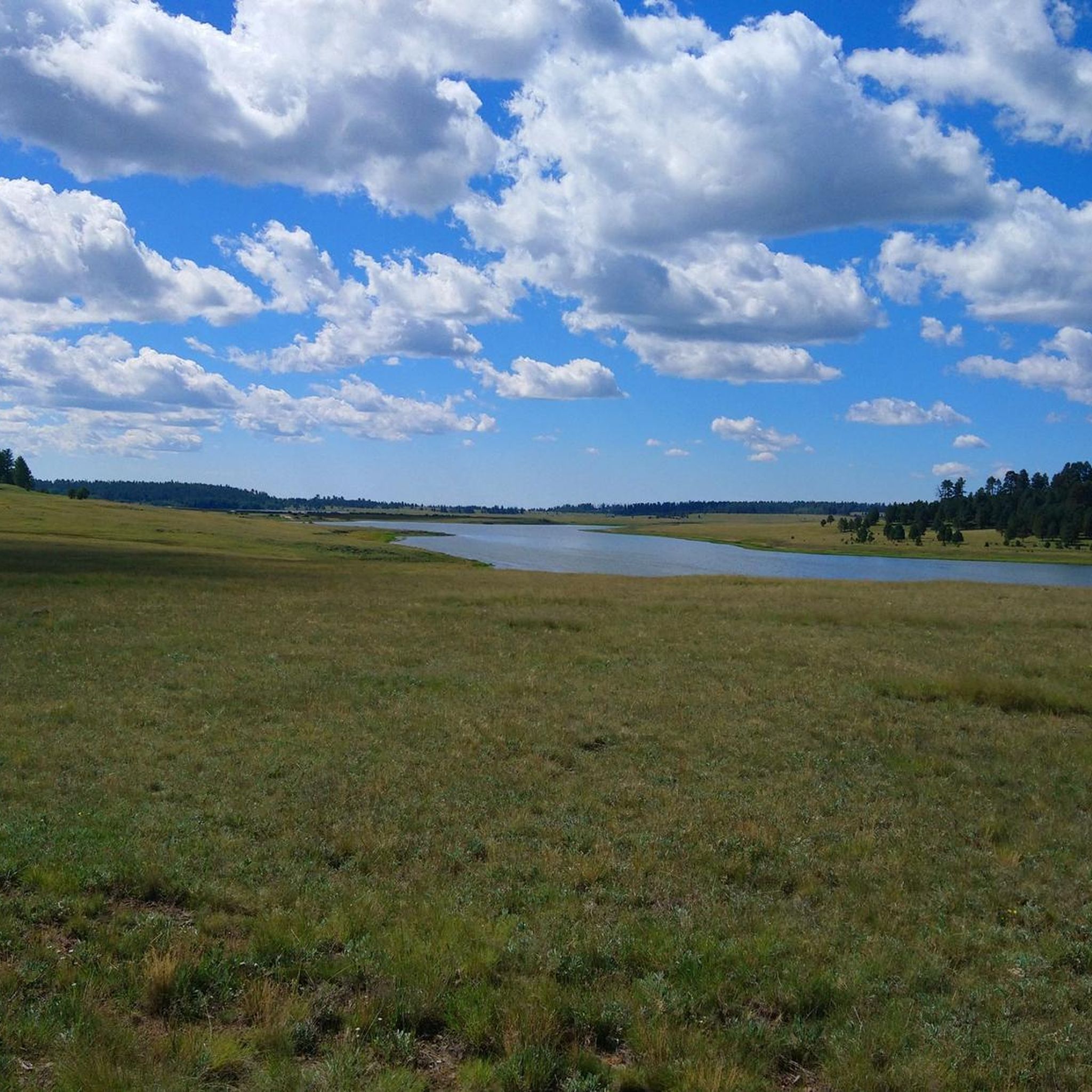
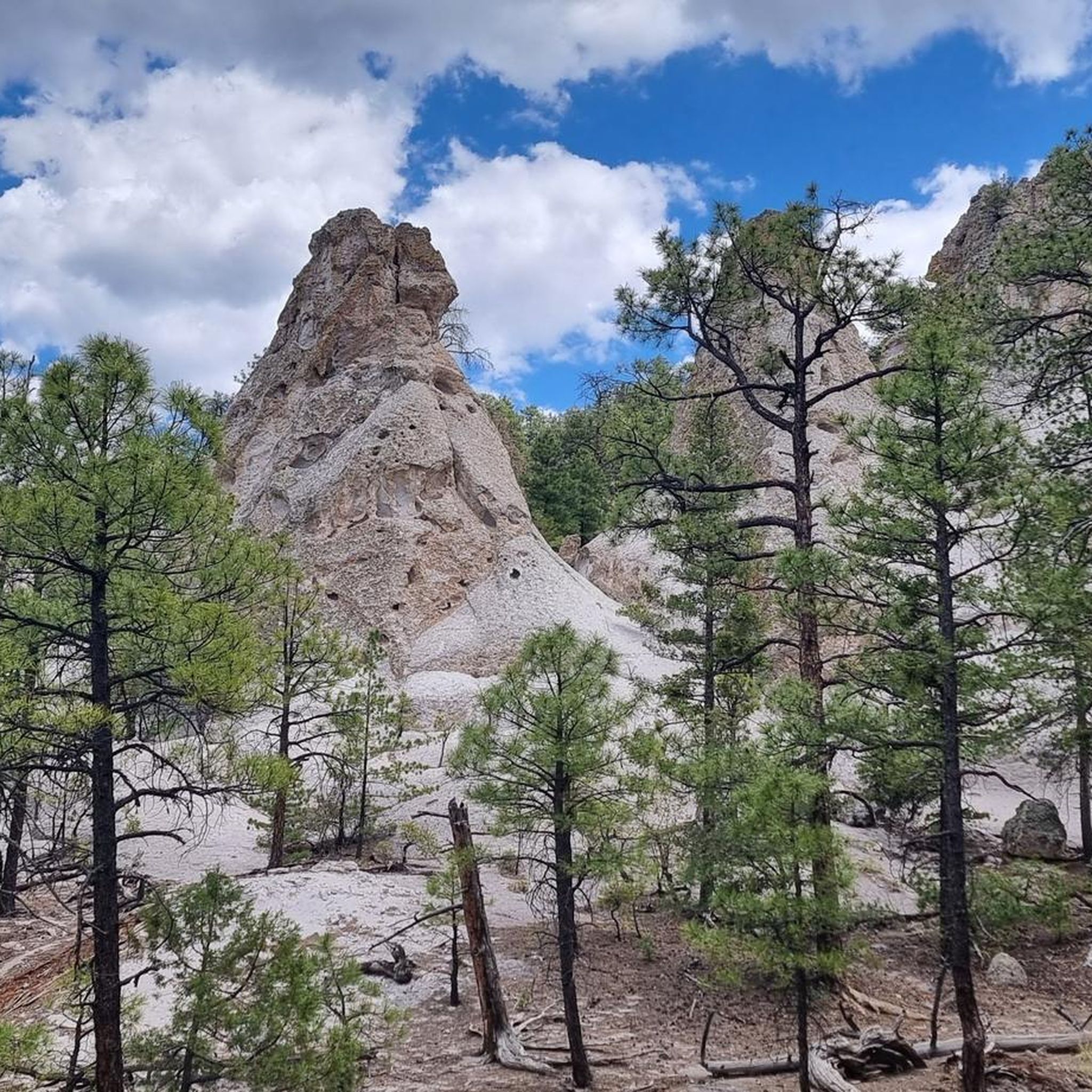
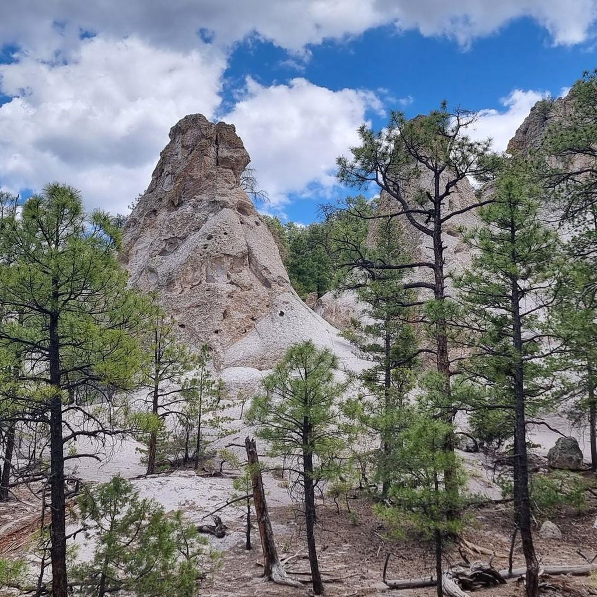
Jogging around Baldy Peak offers diverse terrain, characterized by varied ecosystems ranging from treeless summits to lush canyons and valleys. The region features significant elevation changes, with trails winding through meadows, forests, and areas with volcanic origins. Water features like streams and waterfalls are also present, providing varied scenery for runners. The extensive trail networks provide opportunities for different levels of challenge.
Best jogging routes around Baldy Peak
- The most popular jogging route is Blue Ridge Mountain loop from Blue…
Last updated: May 17, 2026
1
runners
14.9km
01:52
220m
220m
Moderate run. Good fitness required. Mostly paved surfaces. Suitable for all skill levels.
5.0
(1)
4
runners
6.95km
00:53
120m
120m
Moderate run. Good fitness required. Mostly paved surfaces. Suitable for all skill levels.
Our route recommendations are based on thousands of hikes, rides, and runs completed by other people on komoot.
Start today with a free account
Your next adventure awaits.
Login or Signup
Popular around Baldy Peak
Tips from the Community

The Huf'n Puff Trail tops out at the summit of Pat Mullen Mountain. The peak reaches up to 7,612 feet and offers some great views of the surrounding hills and mountains, but you'll have to work to get to the top.
0
0
Frequently Asked Questions
What kind of terrain can I expect on running routes around Baldy Peak?
Jogging routes around Baldy Peak offer a diverse range of terrain. You'll encounter varied ecosystems, from treeless summits to lush canyons and valleys. Many trails feature significant elevation changes, winding through meadows, forests, and areas with volcanic origins. The region also boasts water features like streams and waterfalls, providing varied scenery for runners.
Are there any challenging running routes for experienced joggers?
Yes, Baldy Peak offers routes with significant elevation gains that can be challenging. For instance, the Blue Ridge Mountain loop from Blue Ridge Trailhead #2 is a 9.3-mile route with over 730 feet of ascent, providing a good test for experienced runners. The extensive trail networks ensure options for various ability levels.
Are there any routes with notable viewpoints or natural features?
Baldy Peak is known for its breathtaking panoramic vistas. While specific viewpoints vary, the region's diverse ecosystems, including forests, meadows, and areas with volcanic origins, offer stunning natural beauty. You might also encounter water features like streams and seasonal snowmelt lakes, and potentially cascading waterfalls, depending on the specific trail and season.
Are there any family-friendly jogging routes in the Baldy Peak area?
While all routes listed are moderate, the Fletcher Tank loop from Pinetop Country Club is a shorter option at 3.5 miles with only about 39 feet of elevation gain, making it a more accessible choice for families looking for a less strenuous jog through forested areas.
Can I bring my dog on the running trails around Baldy Peak?
Many Baldy Peaks are situated within national forests or wilderness areas, which generally welcome dogs on trails, often requiring them to be on a leash. It's always best to check specific regulations for the particular trailhead or area you plan to visit to ensure compliance with local rules regarding pets.
What is the best time of year to go jogging around Baldy Peak?
The best time to jog around Baldy Peak can depend on the specific location and your preference. Generally, spring and fall offer pleasant temperatures for running. Summer can be warm, especially at lower elevations, while winter may bring snow and colder conditions, particularly at higher altitudes, requiring appropriate gear.
Are there any circular running routes available?
Yes, all the top routes highlighted are circular. For example, the Blue Ridge Mountain loop from Blue Ridge Trailhead #2, the Pat Mullen Mountain loop from Kiosk, and the Fletcher Tank loop from Pinetop Country Club are all designed as loops, bringing you back to your starting point.
How long do the running routes typically take to complete?
The duration varies depending on the route and your pace. For instance, the Blue Ridge Mountain loop typically takes around 1 hour 52 minutes. A shorter option like the Fletcher Tank loop can be completed in about 41 minutes.
What do other runners say about the trails in Baldy Peak?
The running routes in Baldy Peak are highly rated by the komoot community, with an average score of 5.0 stars. Runners often praise the varied terrain, the sense of seclusion, and the natural beauty found within these wilderness areas.
Are there any easier running routes for beginners?
While all listed routes are moderate, the Fletcher Tank loop from Pinetop Country Club is the shortest and has the least elevation gain (3.5 miles, 39 feet ascent), making it a good option for beginners or those looking for a more gentle jog through forested areas.
How many running routes are available in the Baldy Peak area?
There are at least 3 dedicated running routes detailed for the Baldy Peak area, all offering unique experiences and varying distances for joggers.
Most popular routes around Baldy Peak

Get inspired with the komoot mobile app


Explore more
Browse the best Running Trails & Routes in other regions.
