The best running trails around La Motte-Du-Caire
4.0
(4)
153
runners
19
runs
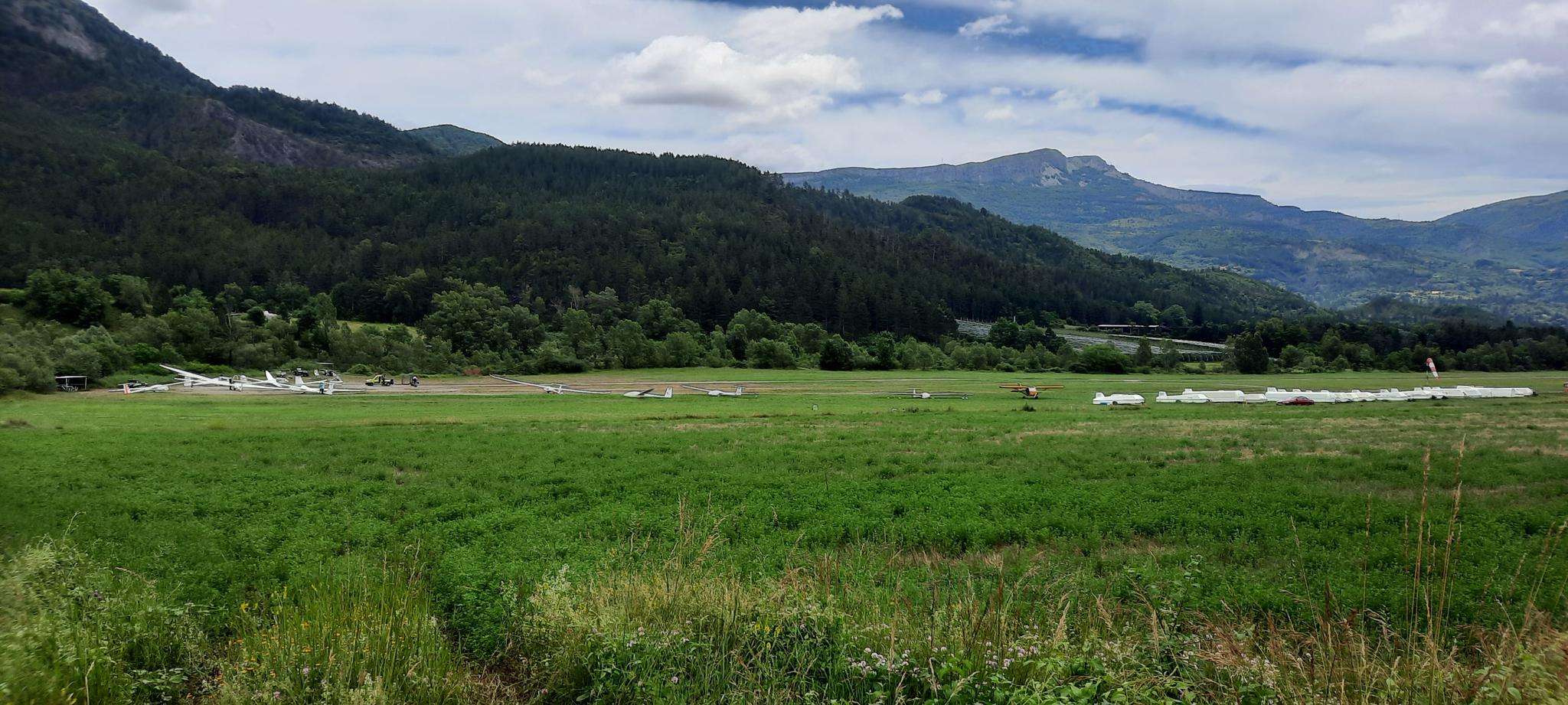
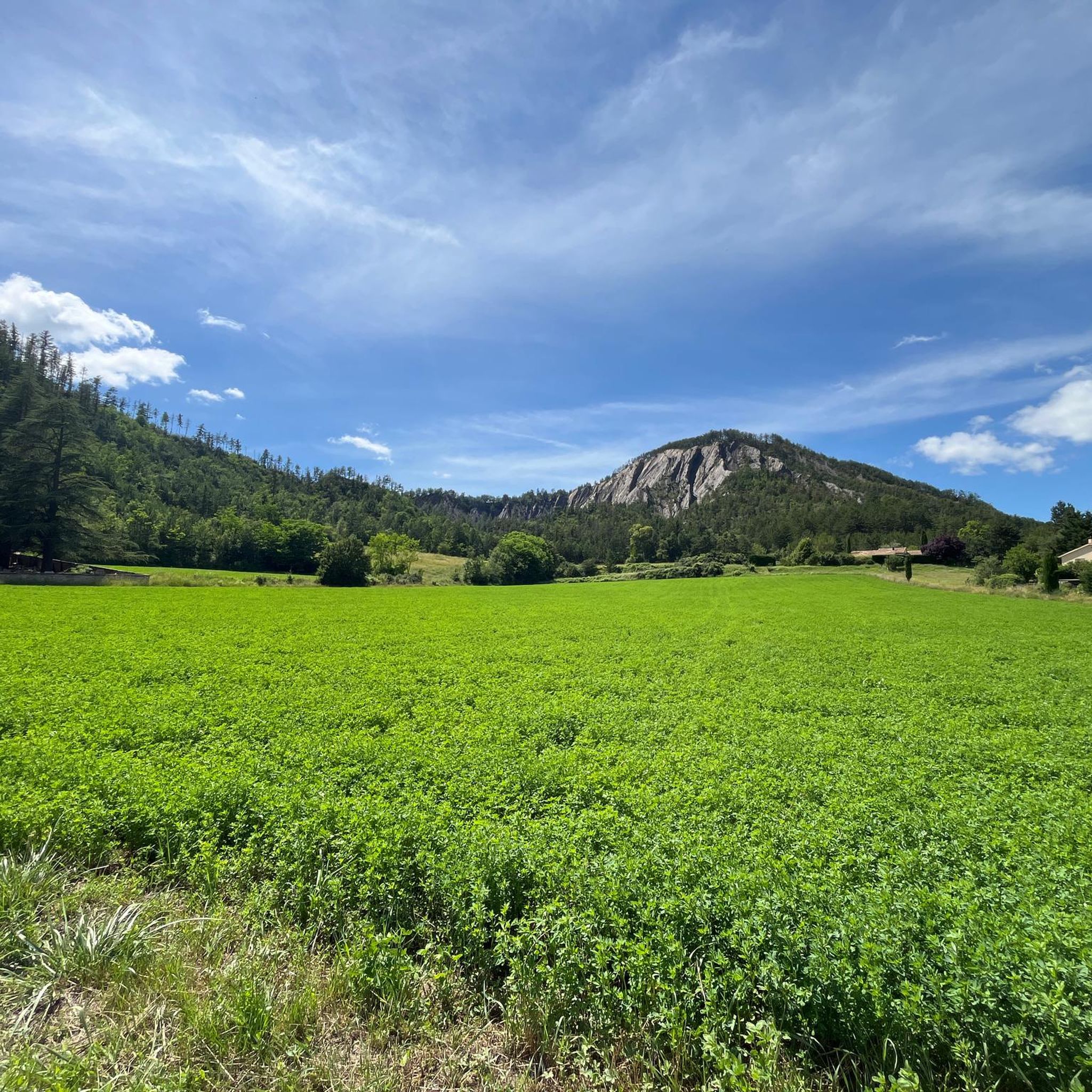
Jogging routes around La Motte-Du-Caire traverse a diverse landscape, characterized by the Grand Vallon valley, steep hills, and varied mountains. Runners encounter ancient limestone reliefs and the distinctive "Terres Noires" (black marls), providing a range of gradients and geological interest. The region features forests of white oak and Scots pine, along with areas of garrigue, offering varied scenic backdrops for running.
Best jogging routes around La Motte-Du-Caire
- The most popular jogging route is Torrent du Vermeil – Torrent de Vermeil…
Last updated: May 12, 2026
16
runners
11.2km
01:45
600m
600m
Hard run. Very good fitness required. Mostly paved surfaces. Suitable for all skill levels.
9
runners
6.67km
00:46
110m
110m
Moderate run. Good fitness required. Mostly paved surfaces. Suitable for all skill levels.

Sign up for free
7
runners
9.32km
01:02
120m
120m
Moderate run. Good fitness required. Mostly paved surfaces. Suitable for all skill levels.
5
runners
6.93km
00:47
110m
110m
Moderate run. Good fitness required. Mostly paved surfaces. Suitable for all skill levels.
6
runners
11.7km
01:30
490m
490m
Hard run. Very good fitness required. Mostly accessible paths. Some sure footedness required.
Get access to more routes and recommendations from other explorers.
Sign up for free
Already have an account?
Our route recommendations are based on thousands of hikes, rides, and runs completed by other people on komoot.
Start today with a free account
Your next adventure awaits.
Login or Signup
Frequently Asked Questions
How many running routes are available in La Motte-Du-Caire?
There are over 25 running routes around La Motte-Du-Caire, offering a diverse range of experiences for runners. These routes cater to various preferences, from moderate to more challenging trails.
What kind of terrain can I expect on the jogging trails around La Motte-Du-Caire?
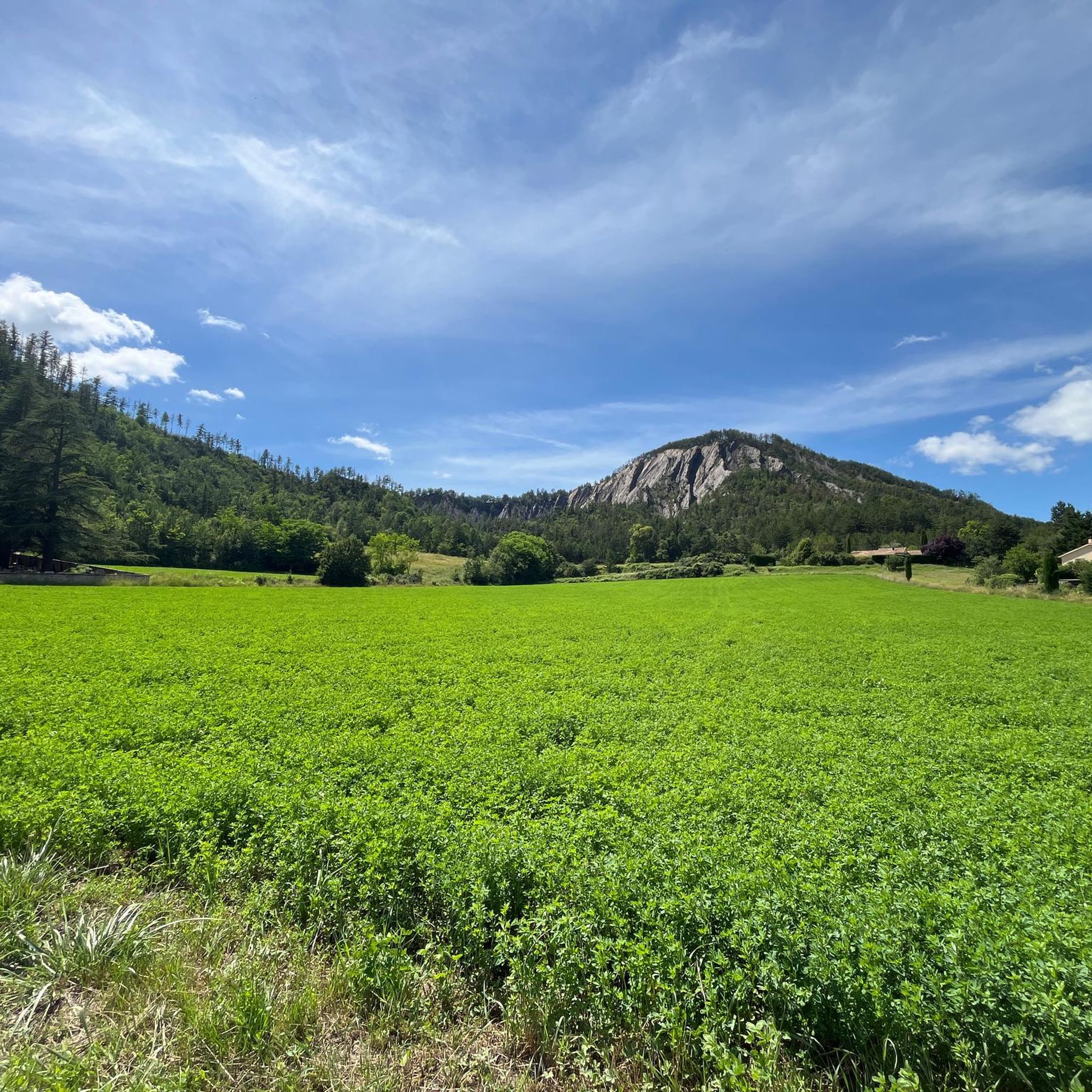
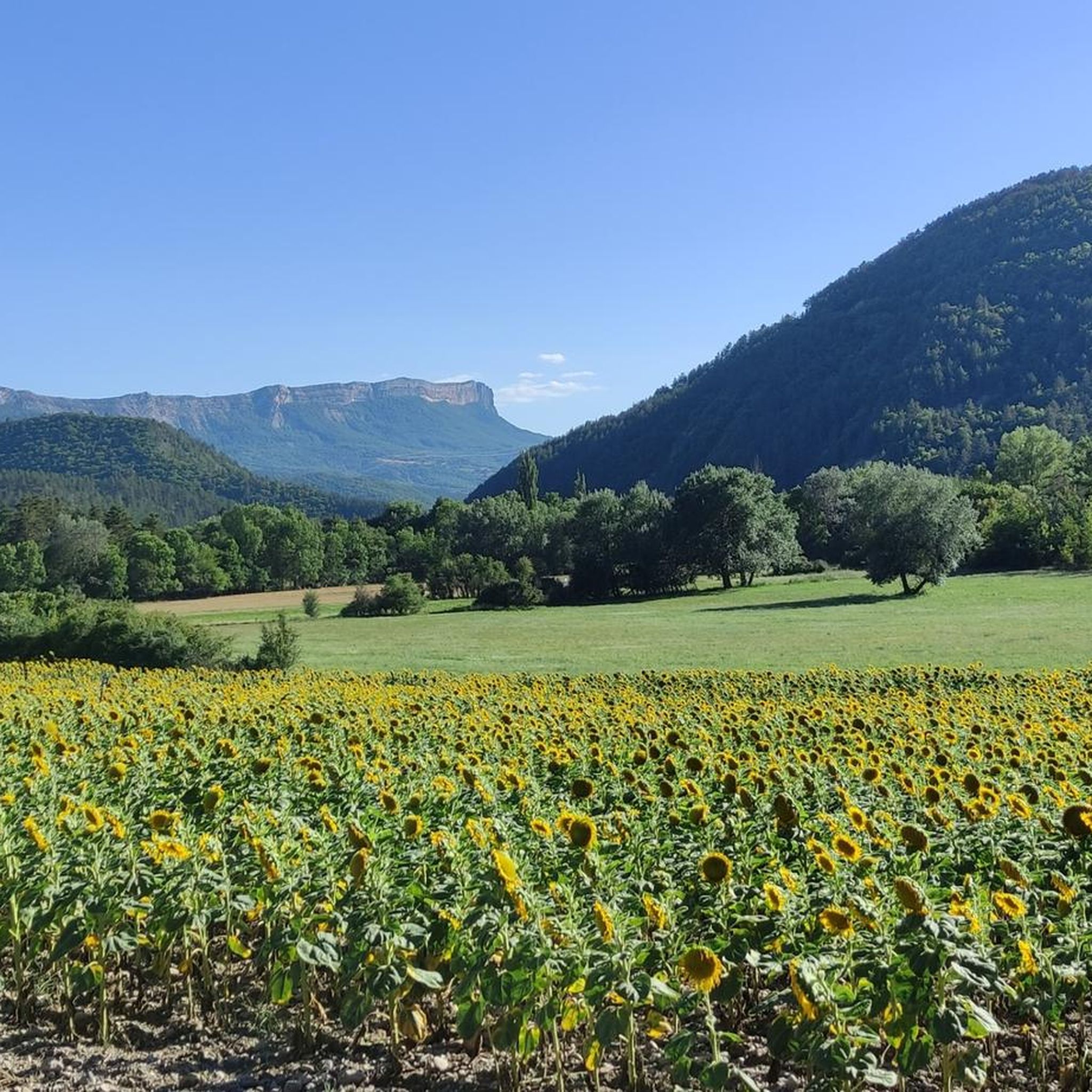
The jogging trails in La Motte-Du-Caire feature a diverse topography, including the Grand Vallon valley, steep hills, and mountains. You'll encounter ancient limestone reliefs and the distinctive "Terres Noires" (black marls). The landscape also includes varied forests of white oak and Scots pine, as well as areas of garrigue, providing different scenic backdrops throughout the year.
Are there running routes suitable for beginners or those looking for an easier run?
While there are no routes specifically classified as 'easy', La Motte-Du-Caire offers 9 moderate running routes. A good option is the Running loop from Le Pré Clos, which is 4.1 miles (6.7 km) long and typically completed in about 45 minutes, leading through local countryside.
What are some of the more challenging running routes in the area?
For experienced runners seeking a challenge, there are 17 difficult routes. The Saint Amand – Col des Graves loop from Clamensane is a difficult 7.0 miles (11.2 km) path with significant elevation changes and panoramic views. Another challenging option is the Col de Foureyssasse loop from La Saulce, spanning 7.8 miles (12.5 km) with substantial elevation gain.
Are there any circular running routes in La Motte-Du-Caire?
Yes, many of the running routes in La Motte-Du-Caire are circular, allowing you to start and finish at the same point. Examples include the popular Torrent du Vermeil – Torrent de Vermeil 2 loop from Clamensane and the Running loop from La Saulce.
What natural features or landmarks can I see along the running routes?
The region is rich in natural beauty. You might encounter ancient limestone reliefs, the distinctive "Terres Noires," and varied forests. Notable features include the Black Mountains and the Reynier Waterfall. The Aqueduc des Sagnieres also offers a beautiful shaded path, suggesting routes that follow historical water structures.
Are there any viewpoints along the jogging trails in La Motte-Du-Caire?
Yes, several routes offer panoramic views. Trails like the "View of Clamensane – Route des Graves loop" (mentioned in region research) provide expansive vistas of the valley and surrounding nature. The Table des Rayes is a specific viewpoint you might encounter.
What do other runners enjoy most about jogging in La Motte-Du-Caire?
The running routes in La Motte-Du-Caire are highly rated by the komoot community, with an average score of 5.0 stars from 4 reviews. Runners often praise the diverse terrain, the varied forests offering shaded paths, and the inspiring panoramic views of the valley and surrounding nature.
Are there any historical paths that can be incorporated into jogging routes?
Yes, a section of the Chemin de Saint Jacques de Compostelle (GR 653 D), also known as the "Via Domitia," passes through the area. This historical path leads through forested areas and over cols like the Col du Buissonnet and Col de la Berche, offering a unique jogging experience.
Is it possible to find routes with significant elevation gain for a more intense workout?
Absolutely. The region is characterized by steep hills and mountains, providing plenty of opportunities for elevation gain. For instance, the Saint Amand – Col des Graves loop from Clamensane features an elevation gain of nearly 600 meters, making it ideal for an intense workout.
What is the best time of year to go running in La Motte-Du-Caire?
The varied forests, including white oak and Scots pine, along with areas of garrigue, offer shaded paths that are particularly pleasant for summer runs. However, the diverse landscapes provide different scenic backdrops throughout the year, making it enjoyable in most seasons, depending on your preference for weather and foliage.
Most popular attractions around La Motte-Du-Caire

Get inspired with the komoot mobile app


Explore more
Browse the best Running Trails & Routes in other regions.
