The best cycling routes around La Motte-Du-Caire
4.5
(90)
1,260
riders
47
rides
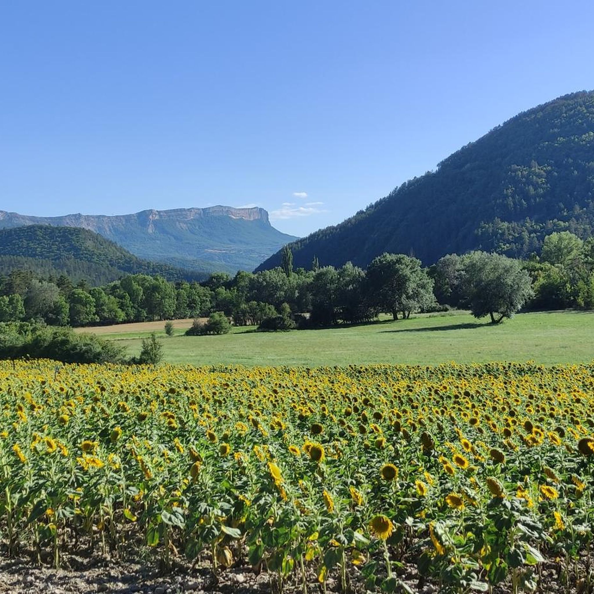
Touring cycling routes around La Motte-Du-Caire traverse a landscape that transitions from rugged Alpine foothills to gentler Provençal terrain. The region is characterized by erratic rock formations, the Sasse Valley, and routes along the Durance River. Cyclists can experience varied elevations, from valley paths to more challenging climbs, with views of the Monges massif.
Best touring cycling routes around La Motte-Du-Caire
- The most popular touring cycling route is Col de Grele – The Sasse loop from Clamensane, a difficult…
Last updated: August 23, 2026
4.6
(10)
69
riders
43.8km
02:46
510m
510m
Hard bike ride. Very good fitness required. Mostly paved surfaces. Suitable for all skill levels.
4.6
(5)
70
riders
61.6km
04:04
940m
940m
Hard bike ride. Very good fitness required. Mostly paved surfaces. Suitable for all skill levels.

Sign up for free
3.0
(1)
25
riders
43.9km
02:50
520m
520m
Hard bike ride. Very good fitness required. Mostly paved surfaces. Suitable for all skill levels.
5.0
(1)
13
riders
43.9km
02:54
660m
660m
Hard bike ride. Very good fitness required. Mostly paved surfaces. Suitable for all skill levels.
5.0
(1)
11
riders
35.4km
02:27
650m
650m
Hard bike ride. Very good fitness required. Mostly paved surfaces. Suitable for all skill levels.
Get access to more routes and recommendations from other explorers.
Sign up for free
Already have an account?
Our route recommendations are based on thousands of hikes, rides, and runs completed by other people on komoot.
Start today with a free account
Your next adventure awaits.
Login or Signup
Tips from the Community

The Castle of Tallard is one of the most important medieval monuments in the French Hautes-Alpes. It stands in the village of Tallard, about 20 km from Gap, in a dominant position over the Durance valley.
16
0

Not the most beautiful highlight. But the drive there is definitely worth it! Especially if you're coming from the south. For campers at Le Clot du Jay: highly recommended!
0
0
This road takes you to Camping Le Clot de Jay, a great way to warm up your legs. If you prefer running, this is a slightly more challenging section of a pleasant road, with only a slight incline.
0
0
This mountain is very easy to cycle. I did it in 2025, when the asphalt had just been given a new layer of gravel, but even that wasn't a problem for my racing bike (28mm tires). At the top, in the village, there's a small village fountain, with some goldfish underneath. The tap water isn't monitored, but according to a local, it was probably perfectly drinkable. I filled and emptied my water bottle without complaint! You could cycle a bit further, but the view was rewarding enough for me.
0
0

Little traffic. It connects the Sasse valley to the Turriers basin. It is located at an altitude of 1,176 meters.
1
0
The length of its watercourse is 39.2 km1. The Sasse has its source in the commune of Selonnet, north of the Tête Grosse summit (2,032 m), at an altitude of 1,920 m along the Tête Grosse ski lift in the Chabanon-Selonnet ski resort. It is also called the Piche ravine in this upper part. It flows generally from east-northeast to west-southwest. It flows into the left bank of the middle Durance4 in the commune of Valernes at an altitude of 470 m below the ruins of the Bastide Blanche.
2
0
The Astoin turnstiles refer to the series of hairpin bends described by the departmental road no. 1 to cross the rocky barrier formed by the Jurassic limestones that close the Sasse basin to the north. This road replaced the mule track that winds along the other bank of the Eau Amère and which is much older: it already appears on the Cassini map in the 18th century. This road allows the Bayons valley, its forests, its mountain pastures to communicate with the Turriers basin and, via the Garcinets pass, with Seyne and the Blanche valley. This RD 1 partly succeeded the main road from Seyne to Apt (1885), itself the heir to the D 17 of 1813. It should be noted that the village of Bayons is only served by this single road which must cross the Tourniquets upstream and the Clue de Bayons downstream.
0
0
Frequently Asked Questions
How many touring cycling routes are available around La Motte-Du-Caire?
There are over 45 touring cycling routes around La Motte-Du-Caire, offering a wide range of options for cyclists. These routes traverse diverse landscapes, from rugged Alpine foothills to gentler Provençal terrain.
What types of terrain can I expect on touring cycling routes in this region?
The region offers varied terrain, transitioning from the rugged Alps to the gentler Provençal landscapes. You'll find routes through the Sasse Valley, along the Durance River, and paths with erratic rock formations. Elevations vary from relatively flat valley paths to more challenging climbs, with views of the Monges massif.
Are there any easy touring cycling routes for beginners or families?
Yes, while many routes are challenging, there are 4 easy touring cycling routes available. These are ideal for beginners or families looking for a more relaxed ride. Look for routes along the Durance River, which often offer a relatively flat and scenic experience through orchards.
What are some notable natural features or landmarks to see while cycling?
Cyclists can explore several natural features and landmarks. The Col de Grele is a significant mountain pass, and the Reynier Waterfall offers a scenic stop. You might also encounter the Black Mountains or enjoy views from Table des Rayes. The EDF Canal Cycle Path also provides a pleasant ride.
Are there any circular touring cycling routes in the area?
Yes, many routes are designed as loops. For example, you can try the challenging Col de Grele – The Sasse loop from Clamensane, or the La Melve – The Sasse loop from La Motte-du-Caire, both offering significant elevation gain through the Sasse Valley.
What is the best time of year for touring cycling around La Motte-Du-Caire?
The region is generally pleasant for cycling from spring through autumn. Spring offers blooming landscapes, while autumn provides cooler temperatures and vibrant colors. Summer can be warm, but routes along the Durance River or at higher elevations might offer more comfortable conditions.
What do other cyclists say about the touring routes in La Motte-Du-Caire?
The touring cycling routes in La Motte-Du-Caire are highly rated by the komoot community, with an average score of 4.5 stars from over 60 reviews. Cyclists often praise the varied terrain, scenic views, and the transition from Alpine to Provençal landscapes.
Are there any routes that pass by waterfalls?
Yes, there is at least one route that features a waterfall. The difficult View of Hungary – Small waterfall loop from La Motte-du-Caire includes a small waterfall, offering a refreshing stop along the way. You can also visit the Reynier Waterfall as a highlight.
Can I find routes that offer views of castles or historical sites?
Yes, the region offers routes with historical interest. The challenging Petrifying Waterfall – Tallard Castle loop from Le Caire provides extensive cycling with views towards Tallard, which is known for its castle. You might also encounter the Aqueduc des Sagnieres or an Inscribed Stone.
What are some of the more challenging touring cycling routes in the area?
For experienced cyclists seeking a challenge, there are 32 difficult routes. Options include The turnstiles – Les Tourniquets loop from La Motte-du-Caire, which features significant elevation changes, and the Petrifying Waterfall – Tallard Castle loop from Le Caire, which is over 60 km long with substantial climbing.
Are there opportunities to cycle along rivers or canals?
Yes, the region is known for routes along the Durance River, particularly following the EDF Canal Cycle Path. These routes often provide a relatively flat and scenic experience, passing through orchards and offering views of the Monges massif.
Most popular attractions around La Motte-Du-Caire

Get inspired with the komoot mobile app


Explore more
Browse the best Cycling routes in other regions.
