The best walks and hikes around Conflans-Sur-Lanterne
3.8
(70)
297
hikers
15
hikes
Hiking around Conflans-Sur-Lanterne offers diverse natural landscapes characterized by significant waterways and extensive forests. The region is situated at the confluence of the Lanterne and Semouse rivers, creating scenic riverine environments. Hikers will find undulating terrain, numerous ponds, and a communal forest that provides varied routes and views of the Lanterne valley.
Best hiking trails around Conflans-Sur-Lanterne
- The most popular hiking route is Source du Planey — loop from Bouligney, a 5.6 miles (9.0 km) trail that takes 2…
Last updated: July 4, 2026
4.2
(15)
68
hikers
8.95km
02:23
100m
100m
Moderate hike. Good fitness required. Easily-accessible paths. Suitable for all skill levels.
3.5
(13)
55
hikers
8.61km
02:20
120m
120m
Moderate hike. Good fitness required. Easily-accessible paths. Suitable for all skill levels.

Sign up for free
3.1
(10)
45
hikers
6.21km
01:41
80m
80m
Easy hike. Great for any fitness level. Easily-accessible paths. Suitable for all skill levels.
2.9
(10)
23
hikers
17.8km
04:39
140m
140m
Moderate hike. Good fitness required. Easily-accessible paths. Suitable for all skill levels.
2.9
(10)
22
hikers
14.2km
03:42
100m
100m
Moderate hike. Good fitness required. Easily-accessible paths. Suitable for all skill levels.
Get access to more routes and recommendations from other explorers.
Sign up for free
Already have an account?
Our route recommendations are based on thousands of hikes, rides, and runs completed by other people on komoot.
Start today with a free account
Your next adventure awaits.
Login or Signup


Tips from the Community

The closer you get to the actual source, the stronger the blue color of the crystal clear water becomes!
7
0

Fantastic to enjoy this piece of nature quietly!
1
0

A true mystery of life. This pond is actually a sinkhole, but instead of being bottomless, it is only 35m deep. Its crystalline turquoise hues hide a mystery: the water remains at a mild temperature of 11°c, summer and winter alike.
2
0
A true mystery of life. This pond is actually a sinkhole, but instead of being bottomless, it is only 35m deep. Its crystalline turquoise hues hide a mystery: the water remains at a mild temperature of 11°c, summer and winter alike.
4
0


Frequently Asked Questions
How many hiking trails are available around Conflans-sur-Lanterne?
There are over 15 hiking routes around Conflans-sur-Lanterne, offering diverse experiences for all skill levels. The komoot community has explored these trails over 270 times.
What kind of landscapes can I expect to see while hiking in Conflans-sur-Lanterne?
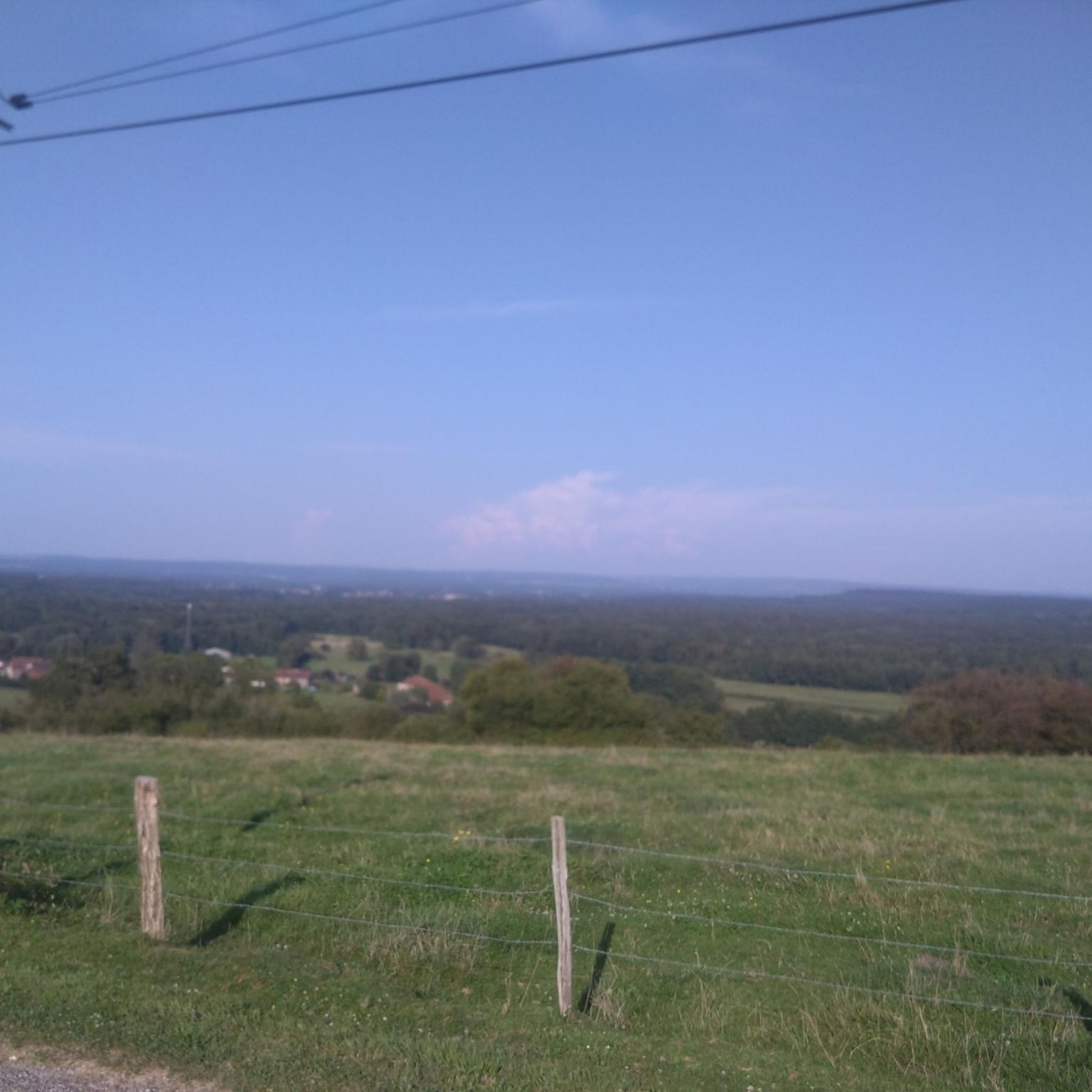
The region around Conflans-sur-Lanterne is characterized by a mix of natural environments. You'll find trails winding through prairies and extensive forests, including those with centuries-old oak trees. The area is also defined by its significant waterways, such as the Lanterne and Semouse rivers, and numerous ponds. Many routes offer beautiful views of the surrounding hills and the Piedmont, with glimpses of the Vosges massif in the distance.
What do other hikers say about the trails in Conflans-sur-Lanterne?
The trails around Conflans-sur-Lanterne are highly rated by the komoot community, with an average score of 3.9 stars from over 60 reviews. Hikers often praise the varied terrain, the peaceful forest paths, and the scenic riverine environments.
Are there easy hiking trails suitable for beginners or families in Conflans-sur-Lanterne?
Yes, there are 8 easy hiking trails around Conflans-sur-Lanterne, perfect for beginners or families looking for a relaxed outing. An example is the Le Planey – Planey Spring loop from Anjeux, which is 3.9 miles long and takes about 1 hour 40 minutes to complete.
Are there any challenging hikes for experienced trekkers?
While most trails are easy to moderate, there is 1 difficult route available for those seeking a more strenuous adventure. These routes often feature greater elevation changes and longer distances.
Are there any circular hiking routes in the area?
Many of the trails around Conflans-sur-Lanterne are circular, allowing you to start and end at the same point. For instance, the popular Source du Planey — loop from Bouligney is a moderate 5.6-mile circular route exploring the area around the Planey Spring.
What natural features or landmarks can I see along the hiking trails?
A prominent natural feature you can explore is the Planey Spring, known for its crystal-clear, blue water. The broader region also offers panoramic views of the Piedmont and the Vosges massif. Many trails lead through dense forests and along the Lanterne and Semouse rivers.
Are there any dog-friendly hiking routes in Conflans-sur-Lanterne?
Generally, dogs are welcome on most hiking trails in the natural areas around Conflans-sur-Lanterne, especially if kept on a leash. It's always advisable to check local signage for any specific restrictions, particularly in protected areas or near agricultural land.
What is the best time of year to go hiking in Conflans-sur-Lanterne?
The spring and autumn months are ideal for hiking in Conflans-sur-Lanterne. Spring brings lush greenery and blooming flora, while autumn offers vibrant foliage. Summer can also be pleasant, especially in the shaded forest areas, but it's wise to start early to avoid the midday heat. Winter hiking is possible, but some trails might be muddy or icy.
Are there places to park near the trailheads?
Yes, many hiking routes in the Conflans-sur-Lanterne area, especially those starting from villages like Bouligney or Anjeux, have designated parking areas near their trailheads. It's recommended to check the specific route details on komoot for precise parking information.
Are there any other interesting places to visit near Conflans-sur-Lanterne after a hike?
Absolutely! You could visit the historic Saint Columban Abbey or explore the charming Luxeuil-les-Bains Historic Town Center. For relaxation, the Luxeuil-les-Bains Thermal Baths are also nearby.
Are there any routes that offer a good picnic spot?
Yes, the Beautiful picnic area – Le Planey loop from Bouligney is a moderate 5.4-mile path specifically known for its picturesque scenery around the Planey Spring, which is often enjoyed as a picnic spot by local hikers.
Most popular routes around Conflans-Sur-Lanterne
Most popular attractions around Conflans-Sur-Lanterne

Get inspired with the komoot mobile app


Explore more
Browse the best Hikes in other regions.
