The best running trails in the Highlands
4.5
(518)
29,904
runners
1,614
runs
Jogging in the Highlands offers a diverse range of routes through glens, mountains, and along lochs. The region is characterized by towering mountains, extensive forests, and a rugged coastline, providing varied terrain for runners. Trails range from relatively flat paths along canals and rivers to challenging mountain routes with significant elevation gain. This landscape provides ample space for exploration across different difficulty levels.
Best jogging routes in the Highlands
- The most popular jogging route is Ben Nevis Mountain Path, a 9.3 miles (15.0 km) trail that takes 3 hours 15 minutes to complete. This difficult route ascends the UK's highest peak, offering panoramic views.
- Another top favourite among local runners is Ness Islands & Ness Banks loop, an easy 3.0 miles (4.8 km) path. This route provides a tranquil run along the River Ness in Inverness.
- Local runners also love the Ring of Steall Skyrace route — Kinlochleven, a 17.8 miles (28.7 km) trail leading through mountainous terrain, often completed in about 6 hours.
- Jogging in the Highlands is defined by glens, mountains, lochs, and coastal paths. The extensive network of routes offers options for various ability levels, from easy riverside loops to challenging mountain ascents.
- The routes in Highlands are highly rated by the komoot community with an average score of 4.5 stars from over 390 reviews. More than 29,000 runners have used komoot to explore Highlands's varied terrain.
Last updated: September 26, 2026
4.6
(7)
862
runners
15.0km
03:15
1,310m
1,310m
Embark on a difficult jogging adventure up the Ben Nevis Mountain Path, a challenging route spanning 9.3 miles (15.0 km) with an impressive elevation gain of 4293 feet (1308 metres). You can expect to complete this demanding ascent in approximately 3 hours and 14 minutes. As you climb, the scenery unfolds, revealing grand vistas up Glen Nevis towards the striking peaks of the Mamores and Stob Ban. The trail itself is characterized by wide zigzags, a testament to its history as a pony track. On clear days, reaching the summit rewards you with incredible 360-degree panoramic views that can stretch as far as Northern Ireland.
Planning your visit requires careful consideration due to the mountain's rapidly changing and often severe weather conditions. The summit is significantly colder than sea level, and snow can persist well into late spring or early summer. Winter ascents are strictly recommended only for very experienced mountaineers equipped with appropriate gear. Be aware that the route can become very busy, especially during the summer months and holiday periods, so plan your start time accordingly.
This iconic path leads you to the highest peak in the United Kingdom, making it a significant achievement for any jogger. The trail's wide zigzags are a unique feature, reflecting its origins as a practical route for ponies carrying supplies. Beyond the physical challenge, the journey offers a deep connection to the rugged landscape of the Ben Nevis and Glen Coe National Scenic Area.
4.8
(5)
559
runners
4.80km
00:30
20m
20m
The Ness Islands & Ness Banks loop offers an easy jogging experience through picturesque scenery in Inverness, Scotland. This 3.0-mile (4.8 km) route features mostly paved, flat paths along the tranquil River Ness and through the wooded Ness Islands, with a minimal elevation gain of just 57 feet (17 metres). You can expect to complete this loop in about 29 minutes, enjoying views of historic landmarks like St Andrew's Cathedral and Inverness Castle, as well as charming Victorian footbridges connecting the islands.
This accessible route is ideal for all skill levels and fitness levels, making it a perfect choice for a leisurely jog. The trail is conveniently located just a short walk from Inverness city center, providing a serene urban escape without needing extensive travel. Since it is an easy and well-maintained path, you can enjoy this loop at almost any time of day, making it simple to fit into your schedule.
What truly sets this loop apart is its unique blend of natural beauty and urban convenience. As you jog, keep an eye out for wildlife such as seals, otters, or even deer, and admire the impressive variety of trees, including Douglas Fir and Sequoia. The route also features whimsical touches like carved wooden bench sculptures and a

4.8
(4)
315
runners
4.24km
00:26
20m
20m
Begin your jog at the historic Inverness Castle, then follow the scenic River Ness on this easy 2.6-mile (4.2 km) loop. You will experience a gentle transition from urban landmarks to the tranquil natural setting of the Ness Islands. With only 54 feet (16 metres) of elevation gain, this route is a quick 26-minute jog suitable for any fitness level, offering peaceful views and a chance to spot local wildlife.
This convenient route starts right in the city center, with parking readily available near Inverness Castle and the Ness Islands. The trail is largely paved or hard-standing, making it accessible for a wide range of users, including those with buggies. Its circular nature also gives you the flexibility to shorten or lengthen your jog as you wish.
This loop is a unique way to explore Inverness, combining significant city architecture with natural riverine beauty. You will pass notable buildings like Inverness Castle and Inverness Cathedral before reaching the charming Ness Islands. These islands are a distinctive feature of the River Ness, connected by picturesque Victorian suspension footbridges, providing a serene escape within the city.
5.0
(1)
249
runners
28.7km
06:01
2,220m
2,220m
The Ring of Steall Skyrace route near Kinlochleven is a difficult jogging challenge, covering 17.8 miles (28.7 km) with an impressive 7284 feet (2220 metres) of elevation gain. You will experience exceptionally rough and varied terrain, including rock, scree, and boggy sections, alongside thrilling scrambling over ridges like the Devil's Ridge. The route offers dramatic Scottish Highland scenery, with panoramic views of Ben Nevis and the Mamores, and passes the famous Steall Waterfall. Expect a demanding journey that typically takes around 6 hours and 1 minutes to complete.
This route demands a high level of fitness, sure-footedness, and mountain experience. The terrain is technical, with about 95% unpaved surfaces, and includes significant scrambling sections that require comfort with exposure. Be aware that weather conditions in the Scottish Highlands can change rapidly and become severe, so you must be prepared for all eventualities. Once you commit to certain sections, especially the ridges, retreating can be difficult, so plan your journey carefully.
The Ring of Steall Skyrace route is notable for embodying the tradition of skyrunning, an uncompromising style of mountain running over technical terrain. It incorporates two lofty ridges within the Mamores, including the famously exposed Devil's Ridge, and summits four Munros. This classic skyrunning event is renowned for its inherent difficulty and the significant physical and mental demands it places on participants, making it a true test of endurance and skill.
181
runners
11.4km
02:00
520m
520m
Hard run. Very good fitness required. Sure-footedness, sturdy shoes and alpine experience required.
5.0
(3)
162
runners
4.93km
00:33
10m
10m
Enjoy an easy jogging route along the tranquil waters of the Caledonian Canal. This 3.1-mile (4.9 km) loop offers lush greenery and distant views of the Scottish Highlands, providing a refreshing escape. You will gain a gentle 48 feet (15 metres) in elevation, making it perfect for a quick 32-minute run. As you jog, you will pass by the historic Torvean Swing Bridge, a notable landmark along the way.
The route is easily accessible, with sections beginning directly from the Inverness city center, making it convenient to start your jog. You will find the towpaths are mixed-use, so be prepared to share the path with walkers and cyclists enjoying the same scenic views. This shared environment adds to the community feel of the trail. It is a great option for fitting in a run at almost any time of day.
This trail is part of the larger Great Glen Way, a long-distance route that follows the natural fault line of the Great Glen. The Caledonian Canal itself is an impressive feat of engineering, connecting the Scottish east and west coasts. Jogging here offers a unique perspective on this historic waterway and its role in the region's landscape.
4.2
(5)
92
runners
4.64km
00:34
110m
110m
Moderate run. Good fitness required. Mostly paved surfaces. Suitable for all skill levels.
4.0
(1)
94
runners
14.0km
02:12
490m
490m
If you're looking for a challenging jogging route with dramatic mountain scenery, the Lairig Gartain & Lairig Eilde loop is a difficult 8.7-mile (14.0 km) journey. This route features 1621 feet (494 metres) of elevation gain and typically takes around 2 hours and 11 minutes to complete. You'll navigate varied terrain, including mountain hiking paths that can be wet, muddy, and boggy, with some sections requiring easy scrambling. Expect stunning views of the surrounding giants like Buachaille Etive Beag and Buachaille Etive Mor, along with the craggy north face of Stob Coire Sgreamhach. The trail also offers excellent views down to Glen Etive, with Ben Starav visible in the distance.
This loop is classified as hard, requiring very good fitness, sure-footedness, and sturdy shoes. Be prepared for river crossings, which can be difficult if rivers are in spate after rainfall. The route involves a steady climb, a fairly steep descent into a valley, and another steep climb back up, reaching a col at 489 metres. Glen Coe's changeable weather, with common low cloud bases and rain, can add to the challenge, so check conditions before you go.
This trail is notable for circumnavigating Buachaille Etive Beag, offering a brilliant mountain loop through the majestic Glens without summiting the highest peaks. It connects two historic passes, Lairig Gartain and Lairig Eilde, the latter sometimes referred to as a "coffin road" due to its historical use for carrying the deceased. This unique historical layer adds depth to your experience of Glen Coe's dramatic landscape.
5.0
(1)
93
runners
17.5km
02:00
190m
190m
If you're looking for a challenging jogging experience in the Scottish Highlands, the Glen Affric loop from Loch Beinn a'Mheadhoin delivers. This difficult 10.8-mile (17.5 km) route takes you through ancient Caledonian pine and birch woodlands, offering serene views of Loch Beinn a'Mheadhoin and Loch Affric. You will gain 630 feet (192 metres) in elevation over an estimated 1 hour and 59 minutes, navigating varied terrain that includes mixed surfaces, boggy sections, and river crossings. The remote Highland landscape provides a tranquil atmosphere as you push your limits.
Before you set out, know that parking is available conveniently near the start point at Loch Beinn a'Mheadhoin. The trail's demanding nature means you should be ready for mixed surfaces, boggy patches, and potential river crossings that could wet your shoes. It is wise to prepare for midges, particularly if you plan to pause; staying in motion often helps keep them at bay. This route is best enjoyed when you are well-equipped for varied Highland conditions.
Glen Affric is widely celebrated as Scotland's most beautiful glen, and this route showcases its natural splendor. As you jog, keep an eye out for local wildlife such as red deer and golden eagles, which thrive in this protected environment. The trail offers a deep immersion into a truly wild and ancient landscape, making it a standout choice for those seeking a demanding run with exceptional natural beauty.
4.0
(3)
79
runners
18.6km
02:22
420m
420m
Lace up for the Chalamain Gap from Glenmore trail-running loop, a difficult jogging route that takes you through the rugged beauty of Cairngorms National Park. This 11.5-mile (18.6 km) journey challenges you with 1380 feet (421 metres) of elevation gain, typically completed in about 2 hours and 22 minutes. You will navigate through varied terrain, from ancient pinewoods and tranquil forest lochs to exposed, rocky mountainsides, offering expansive views of the Northern Corries and Glenmore.
When planning your visit, be aware that the Chalamain Gap itself can present an avalanche risk during winter months; consider an alternative route over Creag a' Chalamain if you are jogging in snowy conditions. You can begin this loop from several convenient points, including the Sugarbowl car park or Hayfield, providing flexibility for your start. This route demands sure-footedness and sturdy trail shoes due to its rough and uneven paths.
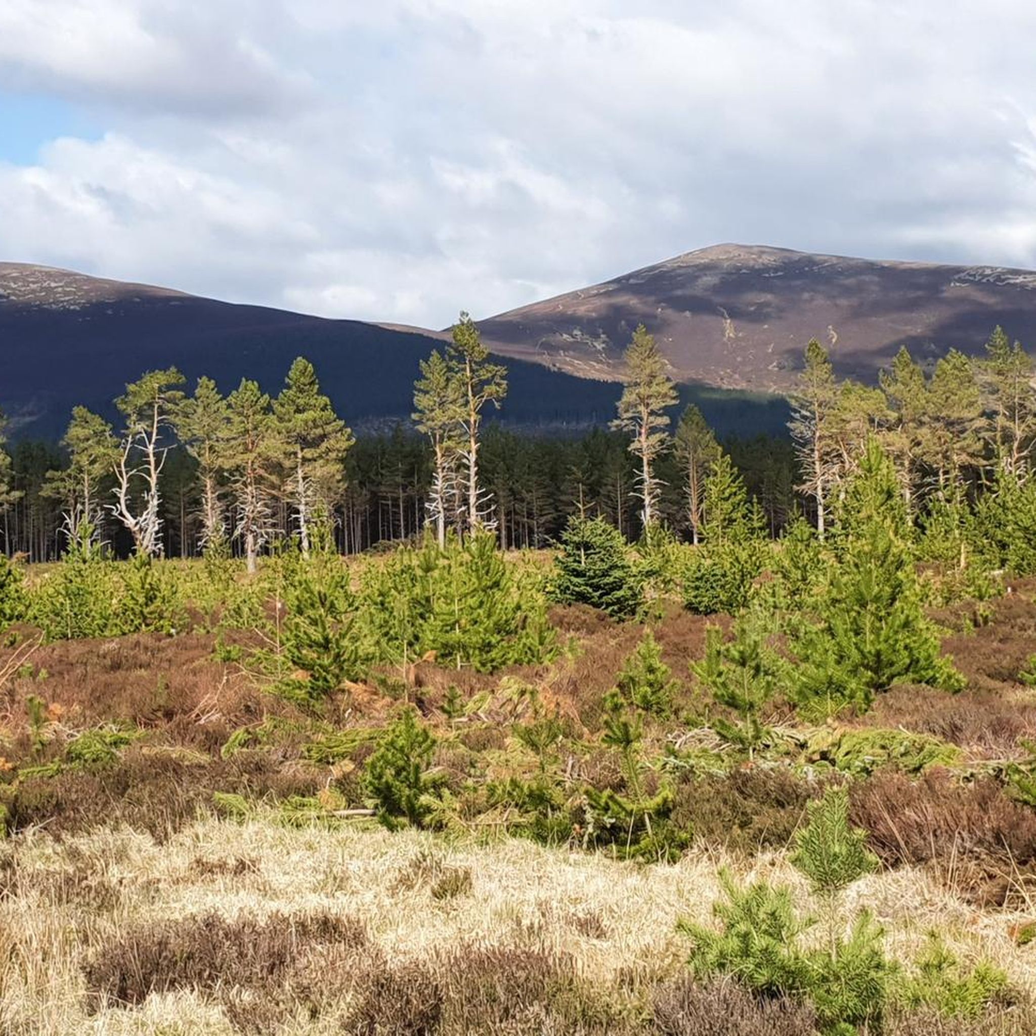
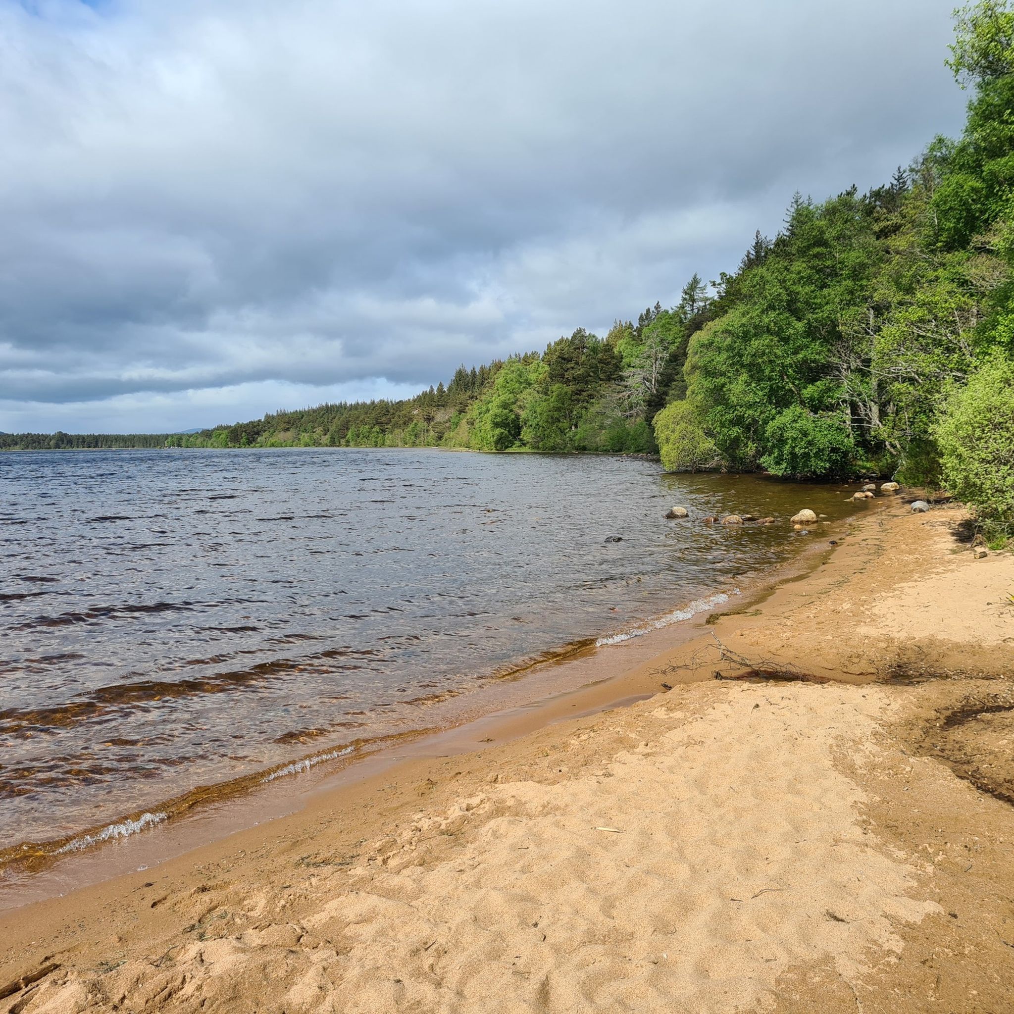
The most distinctive feature of this route is the Chalamain Gap, a unique bouldery defile choked with thousands of rocks and blocks, requiring careful navigation as you pass through. Beyond this memorable section, the paths become less defined, but reward you with fresh perspectives of the Sròn na Lairige ridge of Braeriach. Keep an eye out for the serene Loch Morlich, an oasis nestled within the forest, adding to the diverse scenery of this challenging run.
Get access to more routes and recommendations from other explorers.
Already have an account?
Our route recommendations are based on thousands of hikes, rides, and runs completed by other people on komoot.
Start today with a free account
Your next adventure awaits.
Popular around Highlands
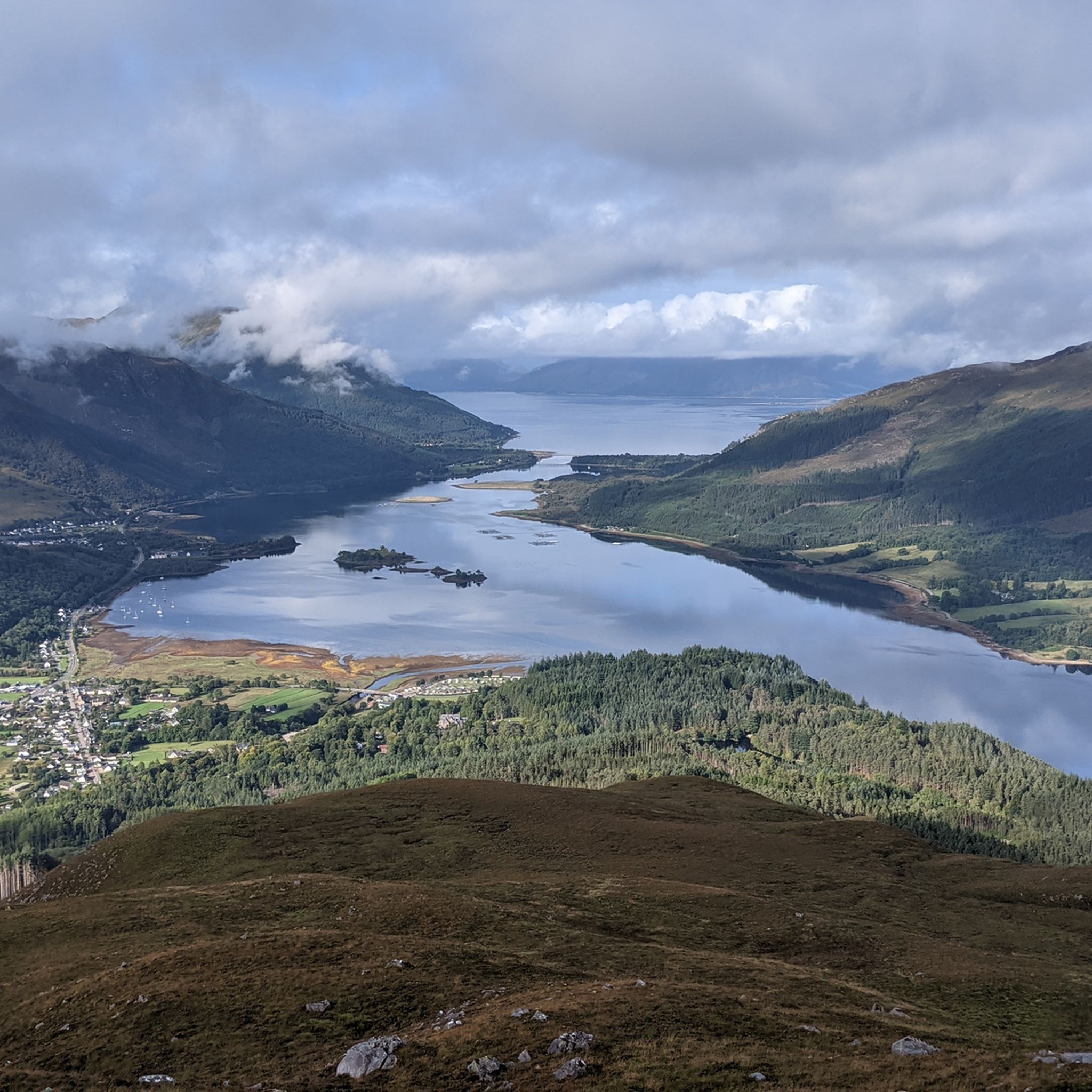
Running Trails in Ben Nevis And Glen Coe
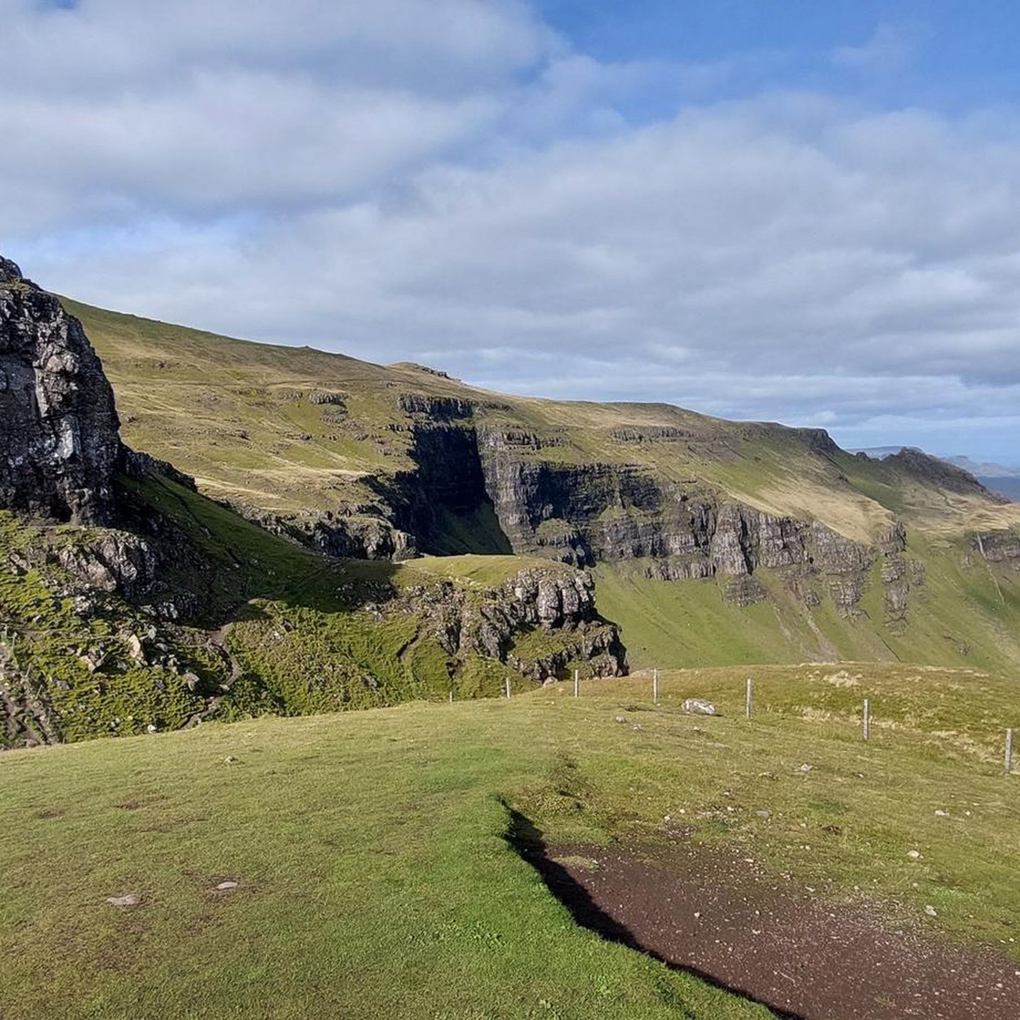
Running Trails on the Isle of Skye
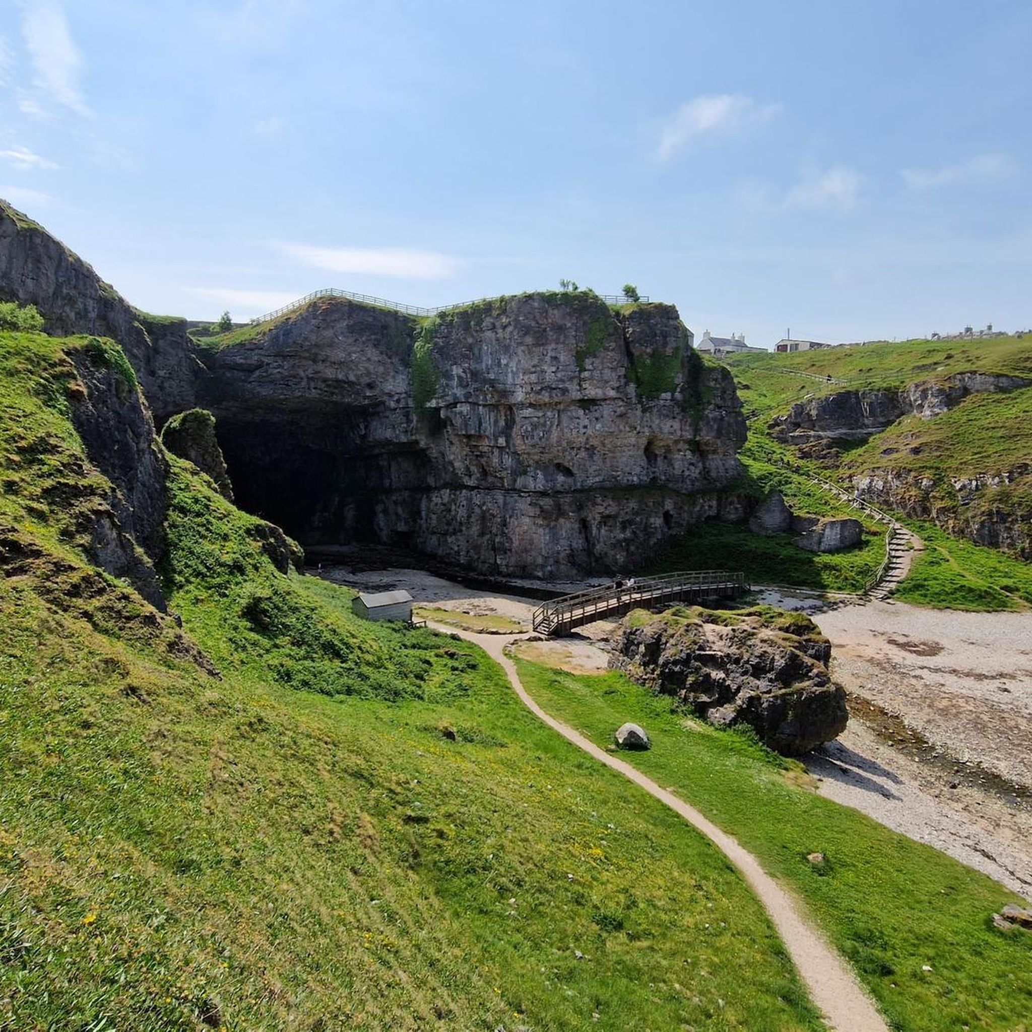
Running Trails in the Northwest Highlands
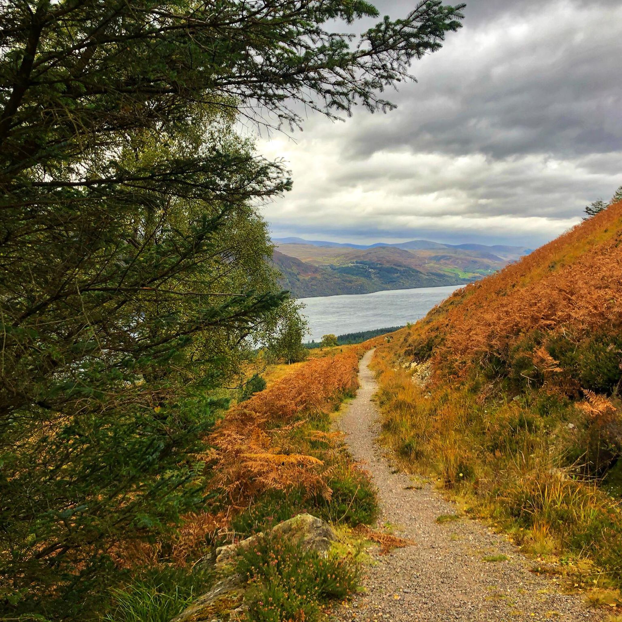
Running Trails around Ness
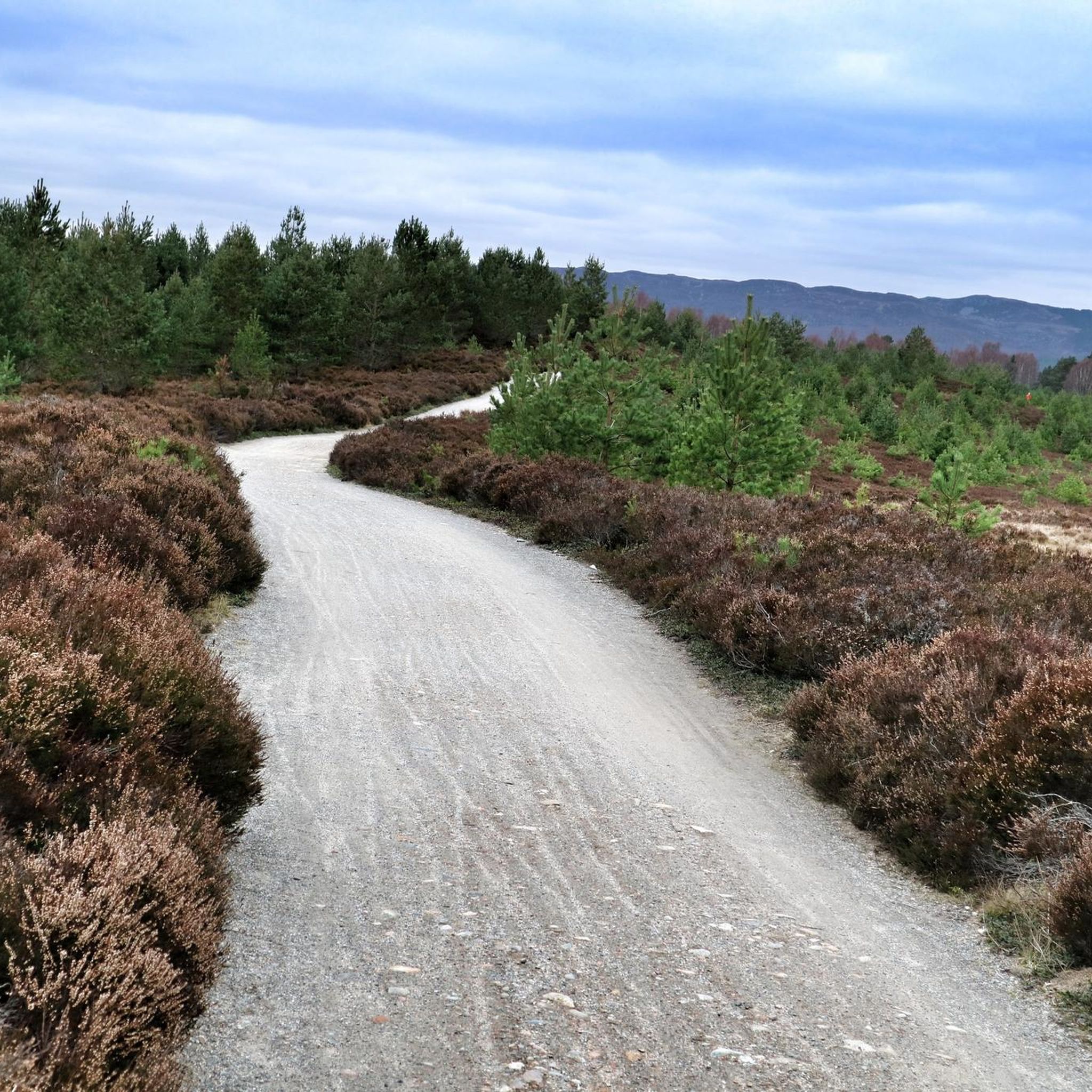
Running Trails around Aviemore
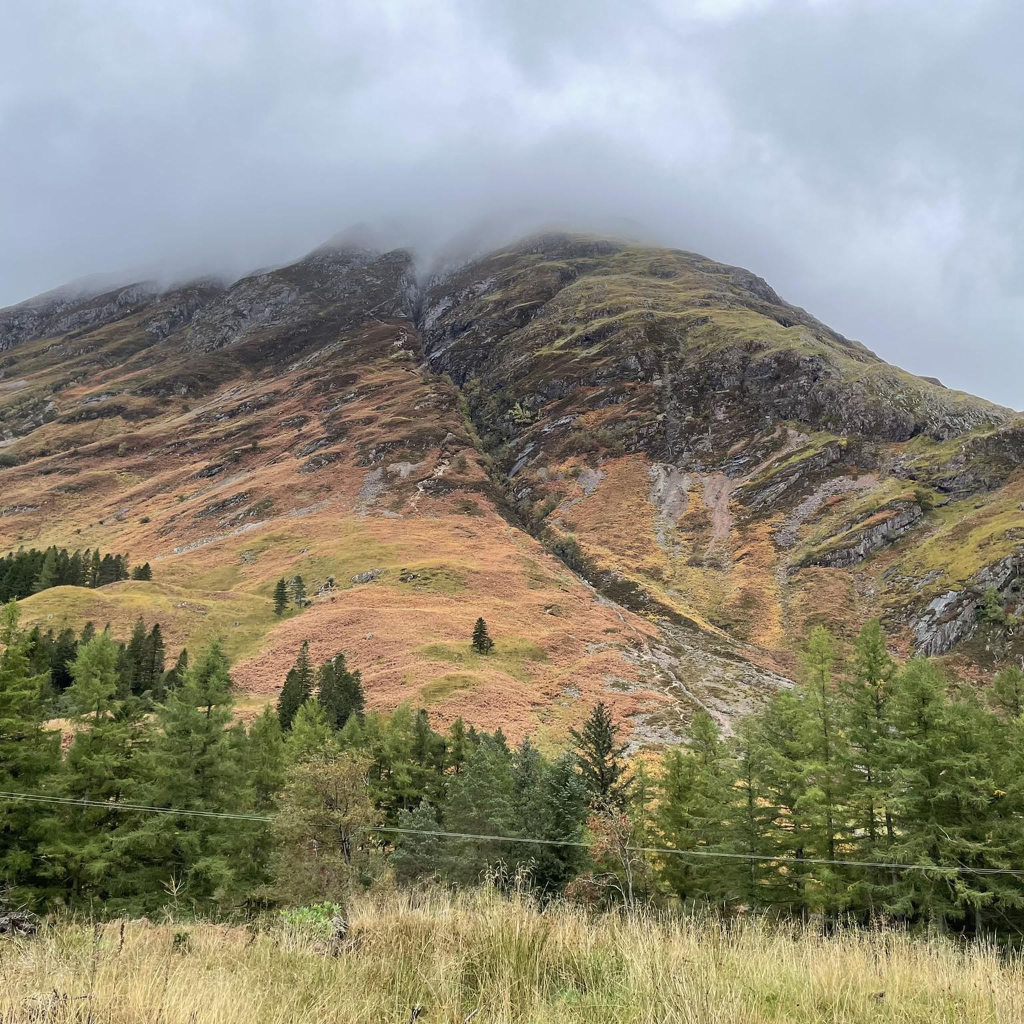
Running Trails around Glencoe And Glen Etive
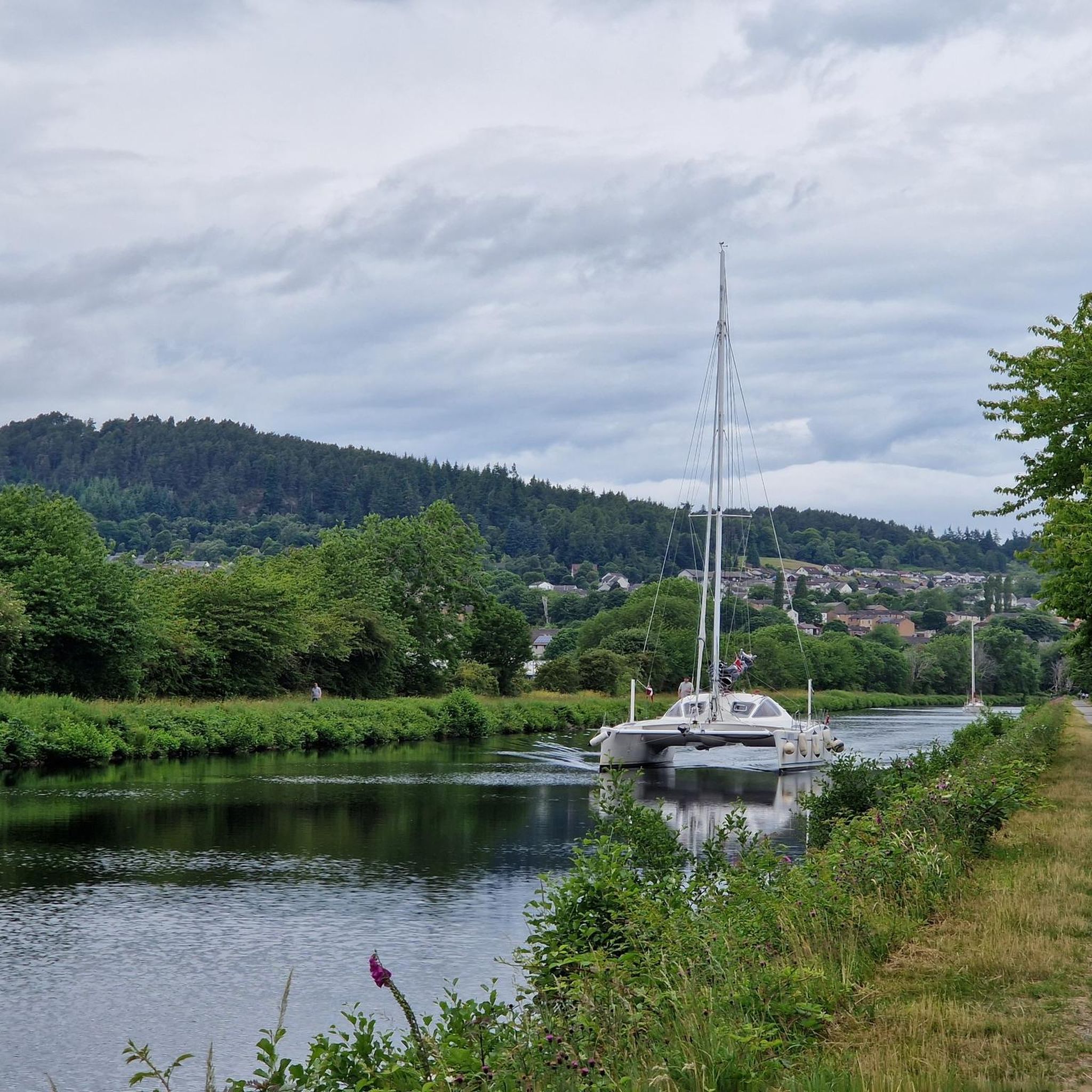
Running Trails around Dalneigh And Columba
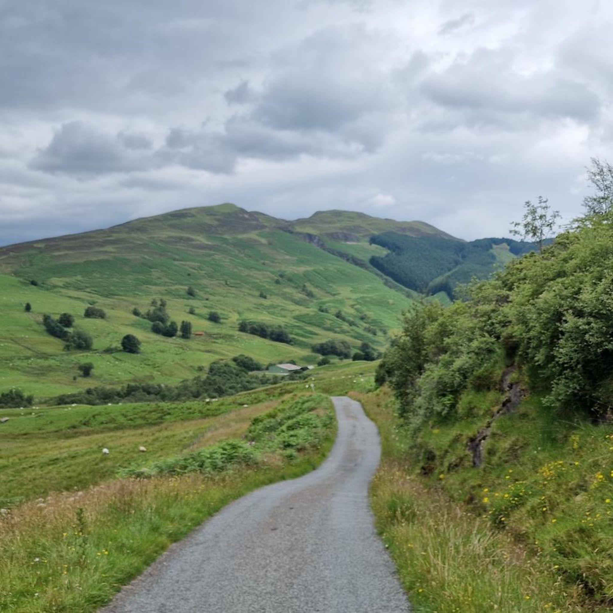
Running Trails around Fort William, Inverlochy And Torlundy
Running Trails around Glenmore Forest
Running Trails around Glenmore Forest Park
Other adventures in the Highlands


Tips from the Community


Fir Bhreugach is a striking rock formation in the Quiraing area on the Isle of Skye. The name comes from Gaelic and means approximately "the false man" or "the deceiver", referring to the unusual, almost human-like silhouette of the rocks. Like many formations on the Trotternish Peninsula, Fir Bhreugach was formed by landslides and erosion, which are constantly changing the landscape. Today, it is a less well-known but fascinating part of the Quiraing, contributing to the mysterious, almost mythical atmosphere of this unique landscape.
0
0
The harbour of Portree is the heart of the main town on the Isle of Skye and significantly shapes the townscape. Nestled in a sheltered bay, it serves both fishing boats and excursion ships and remains economically important to this day. The harbour is particularly known for the colourful houses on the promenade, which, together with the boats, form a picturesque panorama. The surrounding hills enhance the impressive backdrop. For visitors, the harbour is a central starting point for walks, boat trips, and experiencing the typically maritime atmosphere of Portree.
0
0

Wonderful landscape, magnificent views, great hiking!
0
0
Due to the special type of suspension, the vibrations of the steps on the bridge can be felt!
1
0

Another of the countless beautiful bridges over the River Ness. But I think this one is the most beautiful.
1
0

Portree is a relatively small capital - only around 2,100 people live here. Nevertheless, it is rightly the centre of life on Skye, as it divides the island into a northern and a southern half. As a Skye tourist, you can hardly avoid Portree. It is the transport hub; all of the island's major bus routes start from the town's central square, Somerled Square.
0
0

You're in for a treat with the scree surfing descent of this Munro into Glen Nevis. Let gravity take you!
0
0
Frequently Asked Questions
How many running routes are available in the Highlands?
The Highlands offer a vast network of over 1,700 running routes, catering to various skill levels. You'll find everything from easy riverside loops to challenging mountain ascents through glens and along lochs.
Are there easy jogging routes suitable for beginners in the Highlands?
Yes, the Highlands feature many easy running paths perfect for beginners. For example, the Ness Islands & Ness Banks loop in Inverness offers a tranquil 3-mile run along the River Ness. Another great option is the Caledonian Canal and Great Glen Way Loop, which provides a relatively flat and scenic 3-mile path.
What are some challenging running routes for experienced trail runners in the Highlands?
For experienced trail runners seeking a challenge, the Highlands deliver. The Ben Nevis Mountain Path is a difficult 9.3-mile ascent to the UK's highest peak, offering panoramic views. Another demanding option is the Ring of Steall Skyrace route — Kinlochleven, a 17.8-mile trail through rugged mountainous terrain.
Are there any circular running routes in the Highlands?
Absolutely, many routes in the Highlands are circular, allowing you to start and finish in the same location. Popular circular options include the Ness Islands & Ness Banks loop in Inverness, the Inverness Castle and Ness Islands loop, and the scenic Scorrybreac coastal loop from Portree on the Isle of Skye.
What kind of terrain can I expect on running trails in the Highlands?
The Highlands offer incredibly varied terrain. You'll find relatively flat paths along canals and rivers, such as the Caledonian Canal, as well as rugged mountain trails with significant elevation gain, like those in Glen Coe or around Ben Nevis. Expect a mix of well-maintained paths, forest tracks, and more technical, rocky sections, especially on higher ground.
What do other runners say about the jogging experience in the Highlands?
The running routes in the Highlands are highly rated by the komoot community, with an average score of 4.5 stars from over 390 reviews. Reviewers often praise the stunning natural beauty, the sense of wilderness, and the diverse range of trails that cater to all abilities, from tranquil riverside jogs to challenging mountain runs.
Are there any notable landmarks or attractions I can see while running in the Highlands?
Yes, the Highlands are rich in natural and historical landmarks. While running, you might encounter impressive geological formations like The Quiraing on the Isle of Skye, or explore areas near the famous Loch Ness. The region also features dramatic mountain passes and ancient sites. For example, the The Quiraing & Meall na Suiramach loop offers incredible views of the unique landscape.
What is the best time of year for running in the Scottish Highlands?
The best time for running in the Scottish Highlands is generally from late spring to early autumn (May to September). During these months, the weather is milder, daylight hours are longer, and trails are typically drier. However, be aware that midges can be prevalent in summer, especially in damp, still conditions. Spring and autumn offer beautiful scenery with fewer crowds and fewer midges.
Are there family-friendly running routes in the Highlands?
Many routes in the Highlands are suitable for families, especially those looking for easier, flatter paths. The Ness Islands & Ness Banks loop in Inverness is a great example, offering a gentle, scenic run. Look for routes along canals or riverbanks, which often provide pram-friendly surfaces and less challenging terrain.
Are dogs allowed on running trails in the Scottish Highlands?
Many trails in the Scottish Highlands are dog-friendly, but it's crucial to keep dogs under close control, especially in rural and agricultural areas where livestock may be present. Always follow the Scottish Outdoor Access Code, which advises keeping dogs on a lead or under close control around farm animals and during bird nesting seasons. Specific routes or nature reserves might have additional restrictions, so always check local signage.
Where can I find parking and public transport options for running routes in the Highlands?
Parking is often available at trailheads, visitor centers, or nearby villages for many popular routes. For example, routes around Inverness like the Inverness Castle and Ness Islands loop are easily accessible by public transport within the city. For more remote trails, such as those in Glen Coe or near Ben Nevis, public transport might be less frequent, so planning ahead or using a car is often necessary. Always check specific route details for parking information.
Are there any permits required for trail running in the Scottish Highlands?
Generally, no specific permits are required for trail running on most public access routes in the Scottish Highlands, thanks to Scotland's 'right to roam' laws. However, always adhere to the Scottish Outdoor Access Code, which promotes responsible access. Some private estates or protected areas might have specific guidelines or request donations for path maintenance, so it's always good practice to check for local information if you're venturing into less common areas.
Most popular routes in the Highlands
Most popular attractions in the Highlands

Get inspired with the komoot mobile app


Didn’t find what you were looking for?
Check out more Running Trails & Routes throughout Highlands below and find the perfect route in your destination.
Explore more
Browse the best Running Trails & Routes in other regions.
