The best running trails around Issamoulenc
4.3
(38)
1,075
runners
51
runs
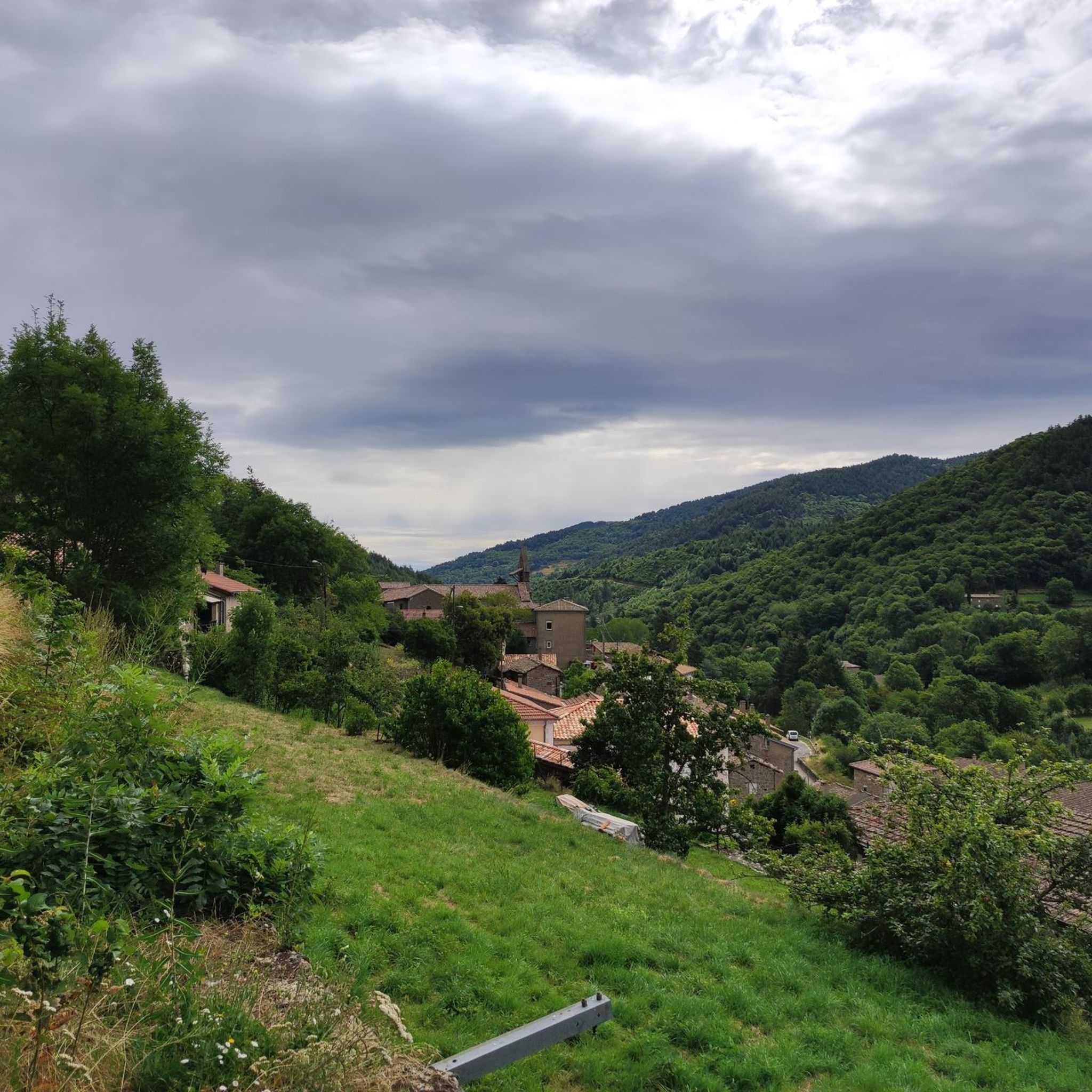
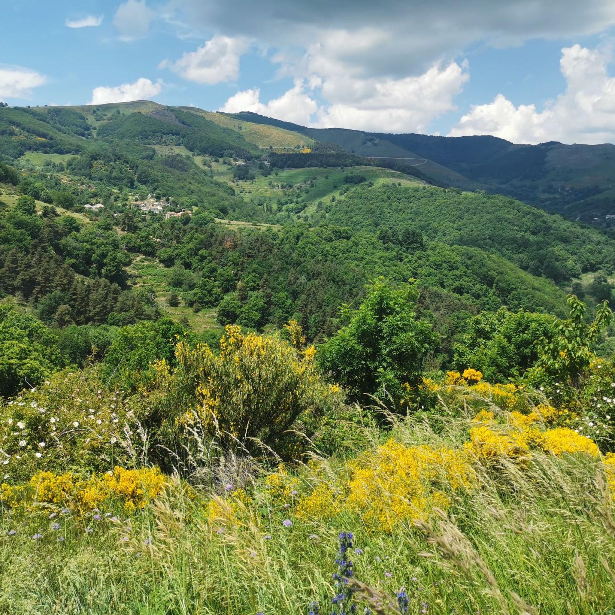
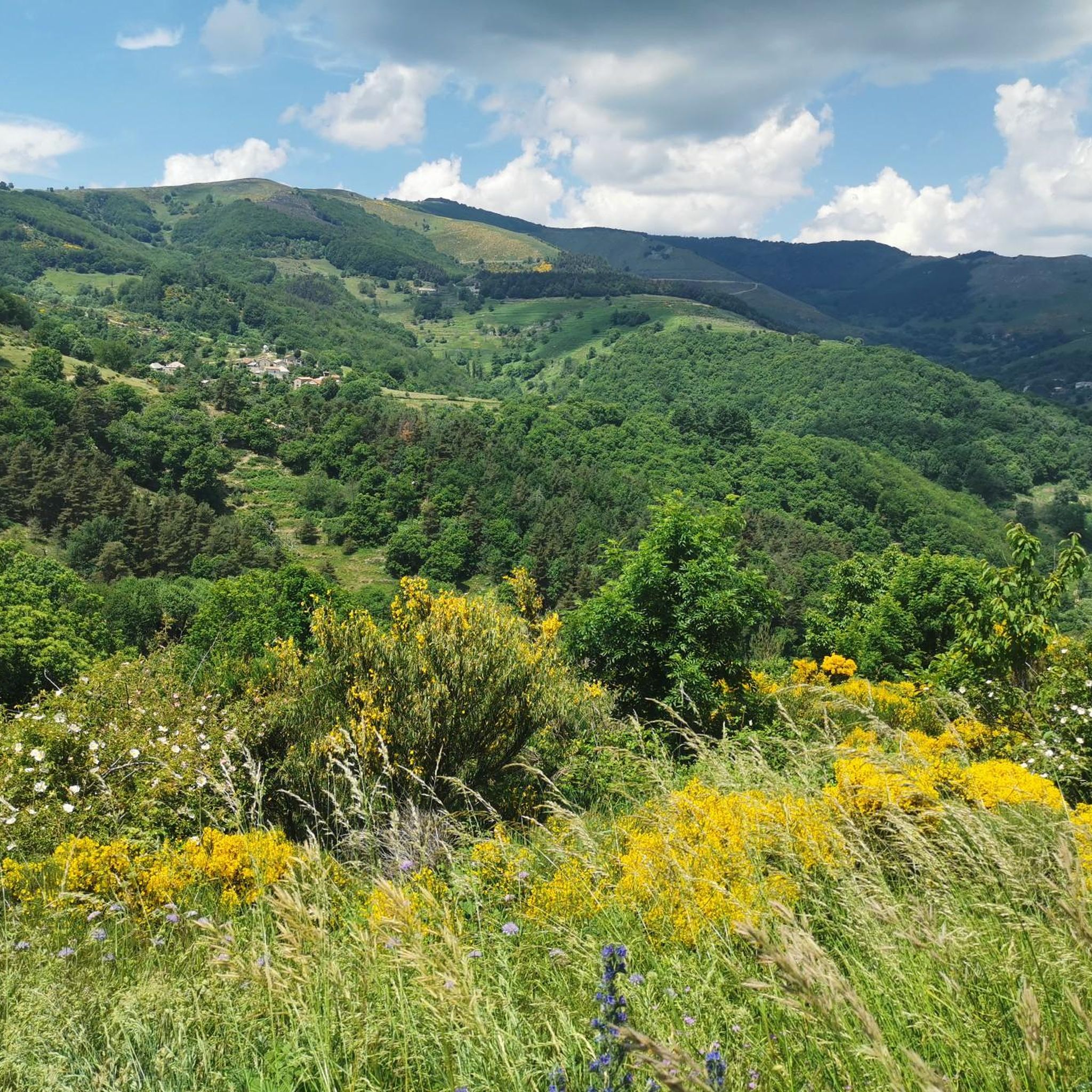
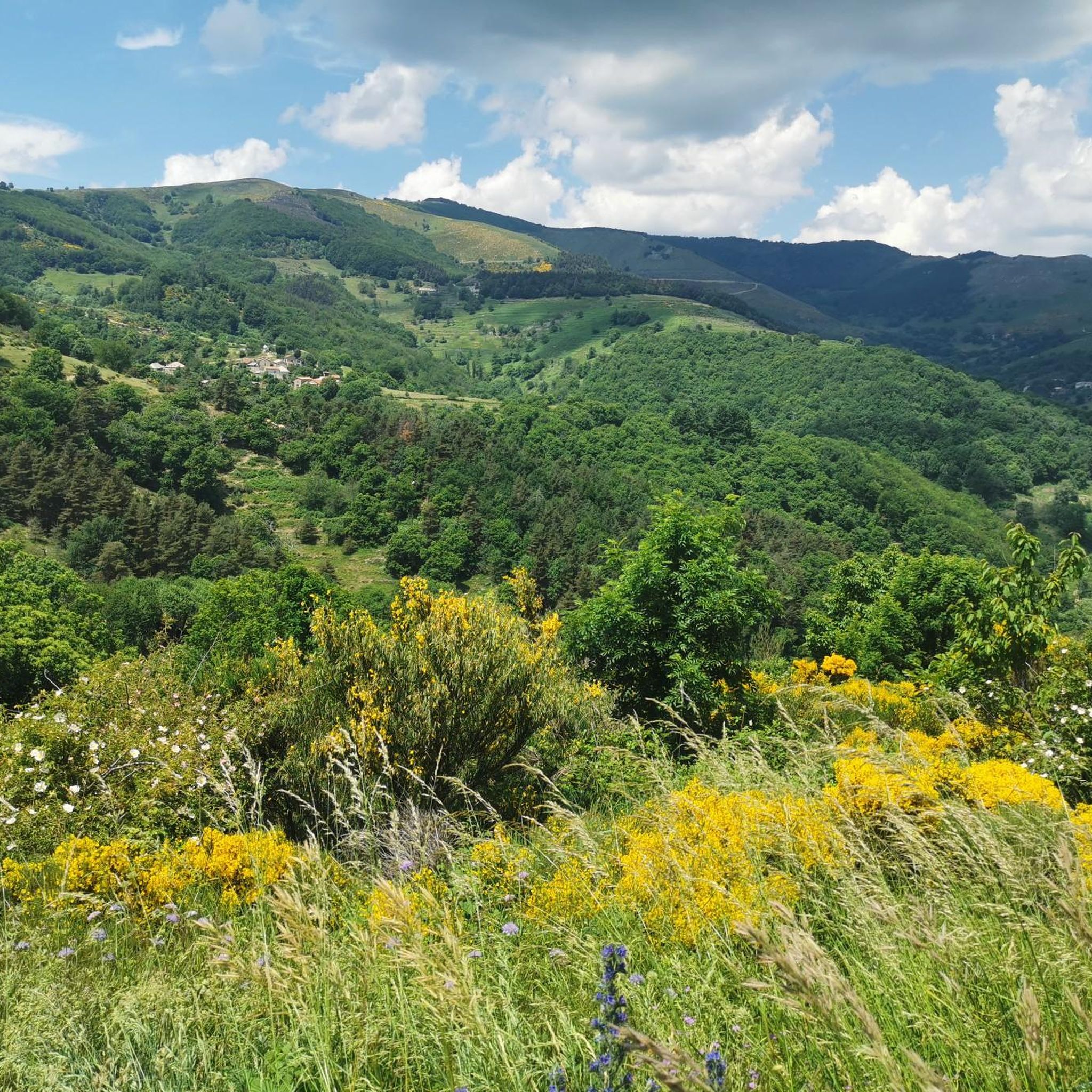
Jogging routes around Issamoulenc traverse a mountainous region within the Monts d'Ardèche Regional Natural Park, offering diverse terrain for runners. The landscape features altitudes ranging from 400 to 1240 meters, shaped by the deeply incised Auzène valley and its tributaries. Runners can expect routes through ancient forests of beech and chestnut trees, alongside preserved waterways, and across terraced areas. This varied topography provides a dynamic environment with ascents and descents suitable for different fitness levels.
Best jogging routes around Issamoulenc
…Last updated: June 30, 2026
11
runners
11.9km
01:46
570m
570m
Hard run. Very good fitness required. Mostly accessible paths. Some sure footedness required.
3.0
(1)
10
runners
27.2km
03:41
1,020m
1,020m
Hard run. Very good fitness required. Mostly accessible paths. Some sure footedness required.

Sign up for free
9
runners
12.0km
01:37
460m
460m
Hard run. Very good fitness required. Mostly paved surfaces. Suitable for all skill levels.
1.0
(1)
4
runners
12.0km
01:36
510m
510m
Hard run. Very good fitness required. Mostly accessible paths. Some sure footedness required.
6
runners
8.90km
01:10
360m
360m
Hard run. Very good fitness required. Mostly accessible paths. Some sure footedness required.
Get access to more routes and recommendations from other explorers.
Sign up for free
Already have an account?
Our route recommendations are based on thousands of hikes, rides, and runs completed by other people on komoot.
Start today with a free account
Your next adventure awaits.
Login or Signup

Tips from the Community

The Col des Croix de Creysseilles from the east is 3.5 km long with a total drop of 168 m. The average gradient is 4.8% with maximum gradients of 12%.
2
0

Frequently Asked Questions
How many running routes are available in Issamoulenc?
Issamoulenc offers a wide selection of running routes, with over 50 distinct trails available for you to explore. These routes cater to various preferences, from easy jogs to challenging trail runs through the mountainous Ardèche landscape.
What kind of terrain can I expect on the jogging routes around Issamoulenc?
The jogging routes around Issamoulenc feature a diverse and dynamic terrain. You'll encounter mountainous landscapes with altitudes ranging from 400 to 1240 meters, shaped by the deeply incised Auzène valley. Expect paths through ancient forests of beech and chestnut trees, alongside preserved waterways, and across terraced areas. This varied topography provides a mix of ascents and descents, ideal for trail running.
Are there any easy running routes for beginners or casual joggers?
Yes, Issamoulenc offers options for all fitness levels. While many routes are moderate to difficult, there is at least one easy route available. A good moderate option for a shorter run with less elevation is the Running loop from Pranles, which is 6.8 km long and typically takes under an hour to complete.
Can I find challenging trail running options in the Issamoulenc area?
Absolutely. Issamoulenc is an excellent destination for challenging trail running, with 25 difficult routes available. Many routes feature significant elevation gain and cover longer distances. For instance, the Col de la Faye loop from Albon-d'Ardèche is a demanding 27.2 km trail with considerable elevation through the Ardèche landscape.
Are there any circular running routes available?
Yes, many of the running routes in the Issamoulenc area are designed as loops, allowing you to start and finish at the same point. Examples include the Le Villaret loop from Antraigues-sur-Volane and the Suc de Montivernoux – Col de Mézilhac loop from Mézilhac, offering varied distances and difficulties.
What natural features or landmarks can I see while running?
While running in Issamoulenc, you can experience a blend of natural beauty and cultural heritage. The region is part of the Monts d'Ardèche Regional Natural Park, a UNESCO Global Geopark. You might encounter the deeply incised Auzène valley, ancient forests, and terraced areas. Notable natural features include the La Volane River and the Suc de Montivernoux. The La Dolce Via, a former railway line, also offers scenic paths.
Are the running trails in Issamoulenc suitable for families?
The suitability for families depends on the specific route and the family's fitness level. While many routes involve significant elevation, there are moderate and easy options. For families with younger children or those seeking a less strenuous outing, look for shorter, less elevated paths. The region's lush forests and preserved waterways offer a beautiful backdrop for a family run or walk.
Can I bring my dog on the jogging trails?
Generally, trails within the Monts d'Ardèche Regional Natural Park are dog-friendly, provided dogs are kept on a leash to protect wildlife and respect other trail users. It's always advisable to check specific trail regulations or local signage, especially in sensitive natural areas, but many paths are suitable for running with your canine companion.
What do other runners say about the routes in Issamoulenc?
The running routes in Issamoulenc are highly regarded by the komoot community, boasting an average rating of 4.3 stars from over 50 reviews. Runners often praise the diverse terrain, the beauty of the ancient forests, and the challenging ascents that offer a rewarding experience. Over 1000 runners have used komoot to explore this region, highlighting its popularity.
Are there any routes that offer panoramic views?
Yes, the elevated terrain and numerous valleys in the Issamoulenc area provide spectacular panoramic views. Running through the Monts d'Ardèche can offer breathtaking vistas across the region's unique geographical formations. Specific viewpoints like the View of the Volane Valley and the View of the Eyrieux Valley are accessible and offer stunning scenery during your run.
What is the best time of year to go jogging in Issamoulenc?
The best time for jogging in Issamoulenc is generally during spring and autumn when the weather is milder and the natural scenery is at its most vibrant. Spring brings blooming flora, while autumn offers stunning foliage. Summer can be warm, especially at lower altitudes, so early morning or late evening runs are preferable. Winter runs are possible but require appropriate gear due to potential cold and snow at higher elevations.
Are there places to stop for refreshments after a run?
While Issamoulenc itself is a small commune, the wider Ardèche region offers various options for refreshments. You might find small cafes or restaurants in nearby villages. For a unique treat, the Terre adélice Ice Cream Shop is a notable highlight in the vicinity, perfect for a post-run reward.
Most popular routes around Issamoulenc
Most popular attractions around Issamoulenc

Get inspired with the komoot mobile app


Explore more
Browse the best Running Trails & Routes in other regions.
