The best road cycling routes around Issamoulenc
4.7
(91)
2,679
riders
72
rides
Road cycling routes around Issamoulenc, situated in the Ardèche department of Southern France, offer a diverse and dramatic landscape for cyclists. The region is characterized by varied topography, including deep gorges, open moorland, and ancient forests, with terrain ranging from rugged mountains to limestone plateaus and volcanic formations. Cyclists can navigate well-suited road networks that often hug cliffsides and provide views of the surrounding Cévennes and Monts d'Ardèche regions.
Best road cycling routes around Issamoulenc
- The most popular road cycling…
Last updated: July 1, 2026
5.0
(2)
96
riders
159km
08:48
3,210m
3,210m
Hard road ride. Very good fitness required. Mostly well-paved surfaces and easy to ride.
5.0
(3)
41
riders
Hard road ride. Very good fitness required. Mostly well-paved surfaces and easy to ride.

Sign up for free
33
riders
81.3km
04:37
1,740m
1,740m
Hard road ride. Very good fitness required. Mostly well-paved surfaces and easy to ride.
22
riders
52.6km
03:02
1,180m
1,180m
Hard road ride. Very good fitness required. Mostly well-paved surfaces and easy to ride.
15
riders
93.9km
05:24
2,220m
2,220m
Hard road ride. Very good fitness required. Mostly well-paved surfaces and easy to ride.
Get access to more routes and recommendations from other explorers.
Sign up for free
Already have an account?
Our route recommendations are based on thousands of hikes, rides, and runs completed by other people on komoot.
Start today with a free account
Your next adventure awaits.
Login or Signup

Tips from the Community

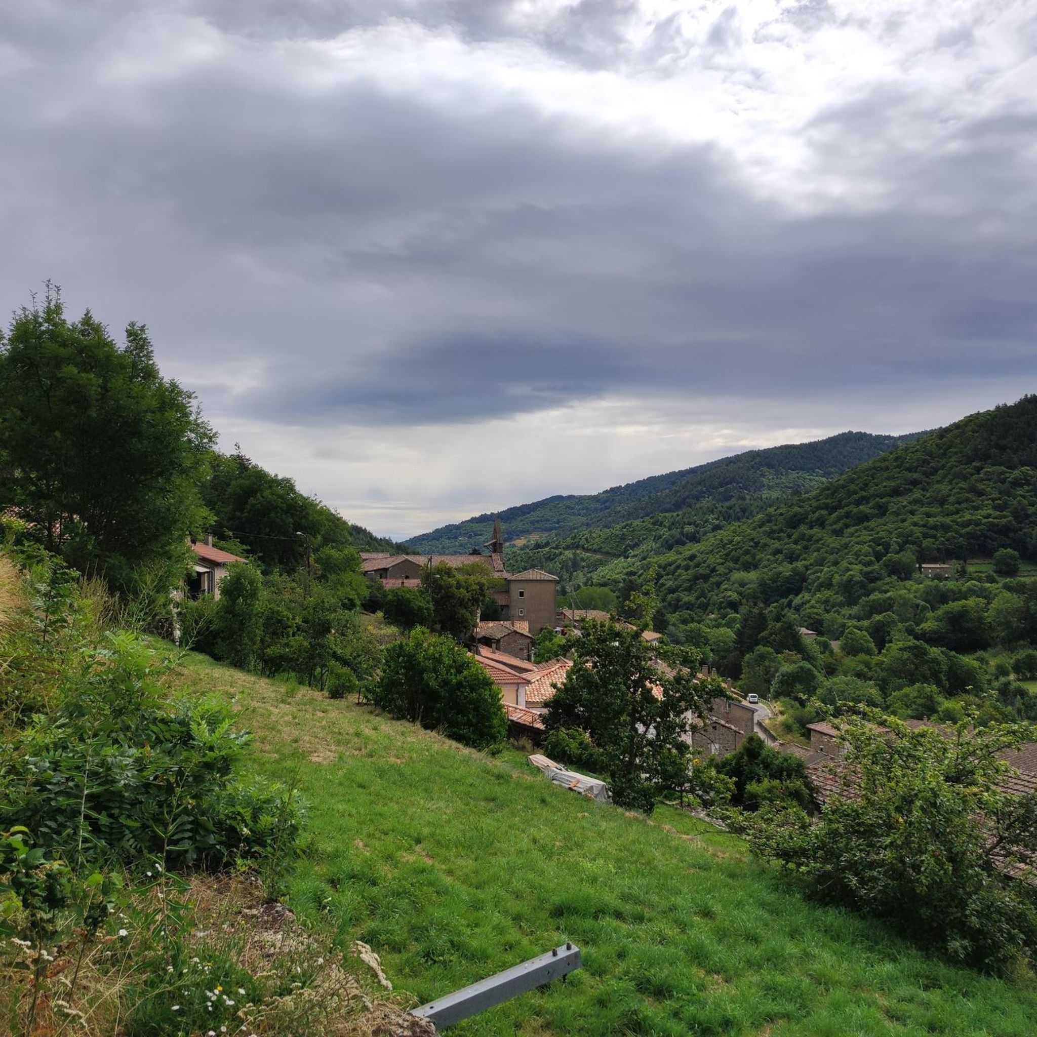
Located at an altitude of 1,330 meters, Lachamp-Raphaël is the highest village in the Ardèche. Dominated by the Montivernoux peak, the village offers exceptional panoramic views of the Alps and the Ardèche mountains. https://lachamp-raphael.fr/
0
0

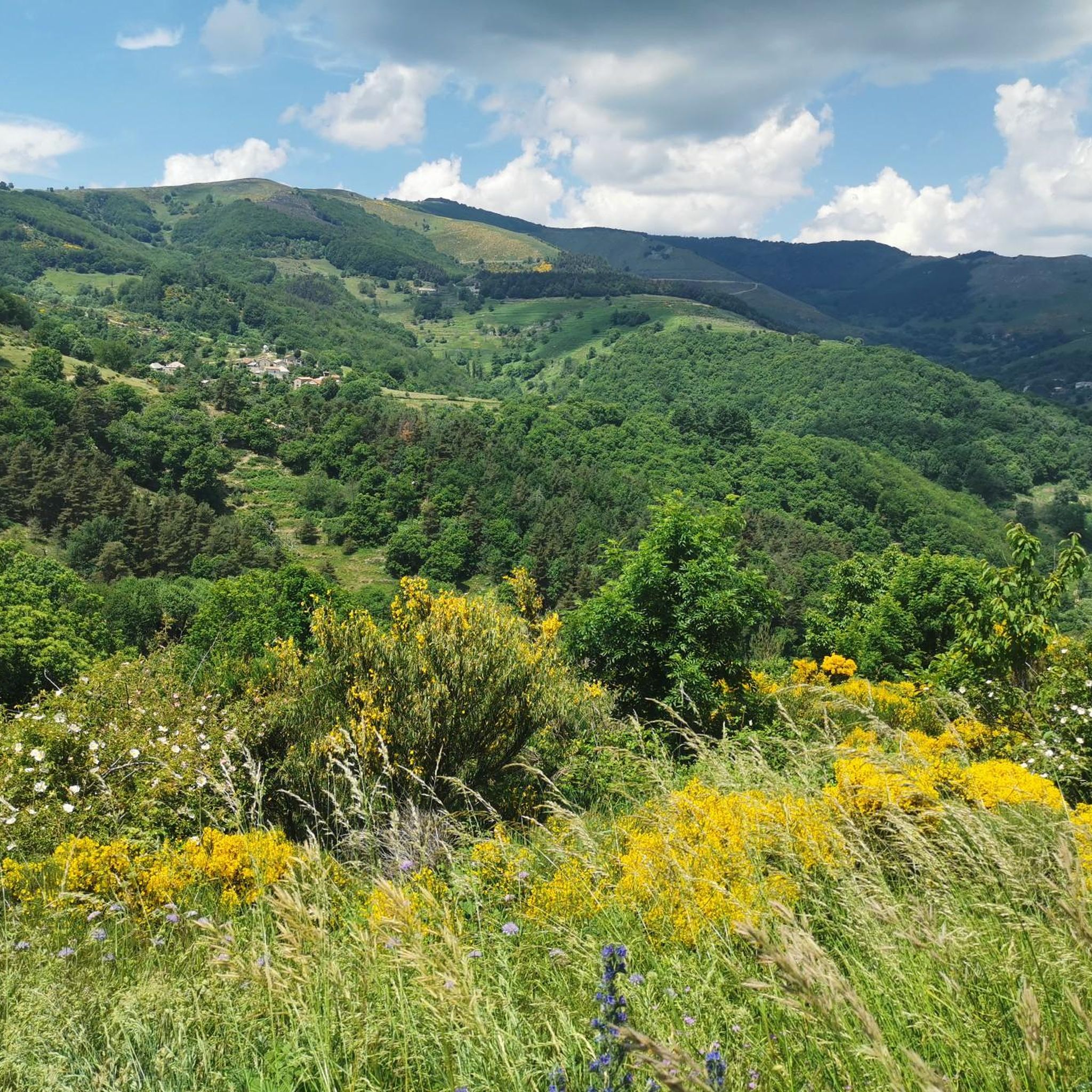
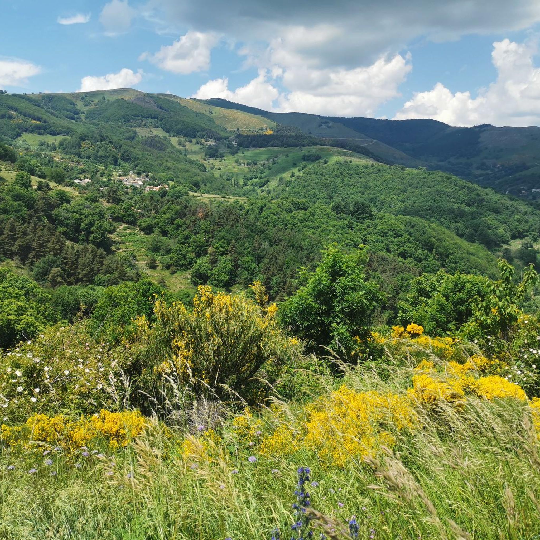
pretty flowers, pretty trees, pretty views, but what more could you ask for...oh yes, a windbreaker, because the mistral makes his grandmother cold.
0
0
If you are a short person and you venture into the fields of erigeron, say goodbye to your family and friends... it is very likely that they will never see you again.
0
0
The cross is a bit ugly but it is not for it that we come to frolic in these green lands but rather for this landscape that would make a Caribou pale.
0
0
landscape that would make a caribou pale
0
0

Anyone who wants to stop for a bite to eat should stop here. There are few alternatives. A Grand Café Creme and a generous sandwich for 8 euros.
1
1


A pass at an altitude of over 1500 m. It is the highest in Ardèche.
0
0
Frequently Asked Questions
How many road cycling routes are available around Issamoulenc?
There are over 70 road cycling routes around Issamoulenc, offering a wide range of options for different skill levels. These include 1 easy route, 26 moderate routes, and 44 difficult routes, ensuring there's something for every cyclist.
What kind of terrain can I expect when road cycling near Issamoulenc?
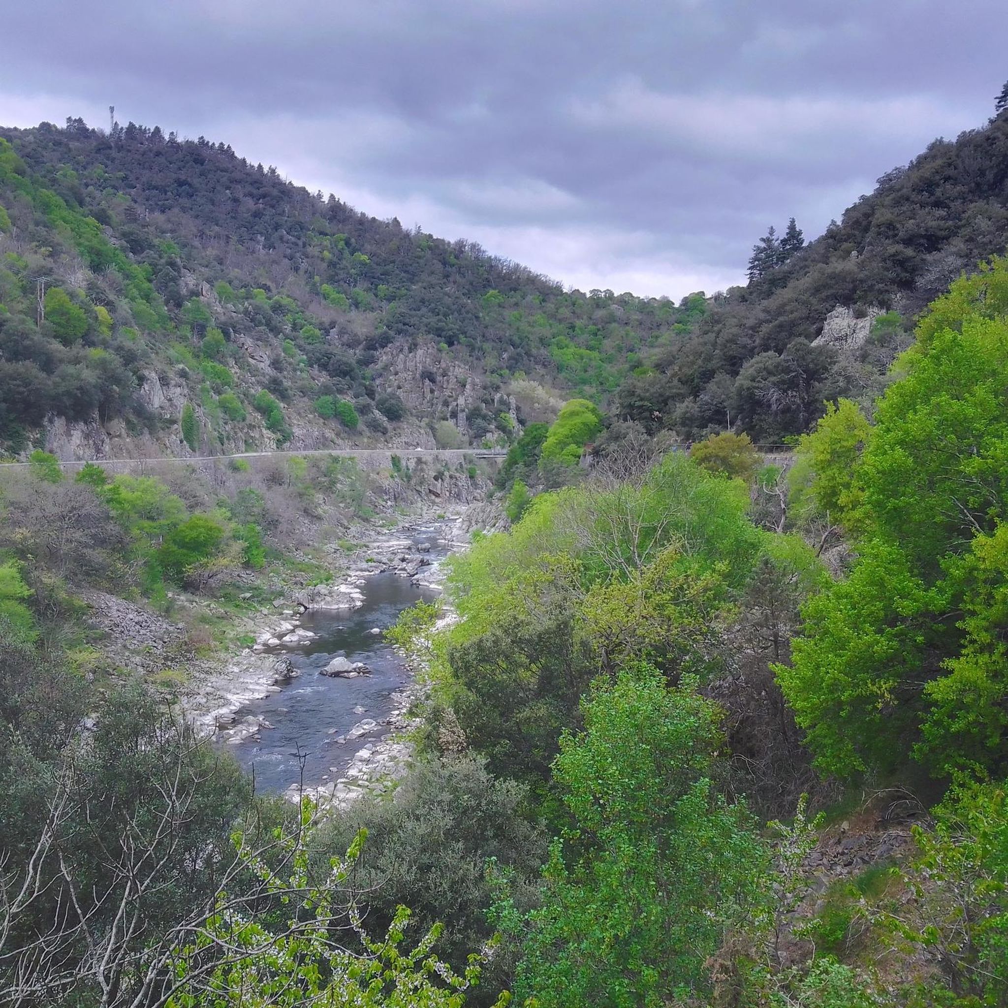
The region around Issamoulenc offers incredibly diverse terrain, from dramatic deep gorges and river valleys to open moorland, ancient forests, and unique volcanic formations. You'll find quiet, well-maintained roads that often hug cliffsides, providing stunning views of the Cévennes and Monts d'Ardèche regions.
Are there any challenging climbs or mountain passes for experienced road cyclists?
Yes, the area is renowned for its challenging climbs and mountain passes. You can test your endurance on numerous cols like the Col du Chap del Bosc, Col de la Croix Blanche, Col de Solpérière, and Col de Perjuret. The Mont Aigoual, a well-known Tour de France stage ending, is also within this mountainous region, offering a significant challenge. For example, the Col de Mézilhac (1,119 m) – Col du Gerbier de Jonc loop from Marcols-les-Eaux is a difficult route with over 3,400 meters of elevation gain.
Are there any family-friendly or easier road cycling options available?
While many routes are challenging, there are options for more relaxed rides. The region features greenways like the La Dolce Via, a 90km path built on a former railway line through the Eyrieux Valley, which is ideal for families or those seeking a gentler experience. You can find one easy road cycling route directly around Issamoulenc, and 26 moderate routes that might be suitable for families with older children or less experienced cyclists.
What are some scenic highlights or viewpoints I can encounter on road cycling routes?
Road cycling routes around Issamoulenc offer numerous scenic highlights. You can enjoy views of the spectacular Ardèche Gorges, including the impressive natural arch of Pont d'Arc. Volcanic peaks like Mont Gerbier de Jonc provide panoramic vistas. Specific viewpoints include the View of the Volane Valley and the View of the Eyrieux Valley. Many routes also pass through picturesque historic villages.
Are there any circular road cycling routes around Issamoulenc?
Yes, many of the road cycling routes around Issamoulenc are designed as loops, allowing you to start and finish in the same location. Examples include the Nice but difficult climb – Terre adélice Ice Cream Shop loop from Issamoulenc and the Col de la Fayolle – Col de Mézilhac (1,119 m) loop from Issamoulenc.
What do other road cyclists say about the routes in Issamoulenc?
The road cycling routes in Issamoulenc are highly rated by the komoot community, with an average score of 4.6 stars from over 100 reviews. More than 2,800 road cyclists have used komoot to explore the varied terrain, often praising the diverse topography, challenging climbs, and stunning natural scenery.
Can I find places to eat or rest along the road cycling routes?
Yes, many routes pass through or near historic villages where you can find cafes and other amenities. For example, the Nice but difficult climb – Terre adélice Ice Cream Shop loop from Issamoulenc includes a stop at the Terre adélice Ice Cream Shop. The region's villages like Antraigues-sur-Volane, Balazuc, and Vogüé are great spots for a break.
What is the best time of year to go road cycling in Issamoulenc?
The region offers good cycling conditions for much of the year. Spring and autumn are particularly pleasant, with milder temperatures and beautiful scenery, especially in autumn when the ancient chestnut groves change color. The area also hosts Europe's leading cycling event, L'Ardéchoise, in June, indicating favorable conditions during early summer.
Are there any specific attractions or landmarks to look out for while cycling?
Absolutely. Beyond the natural beauty, you can cycle through and discover historic villages. Notable nearby villages include Privas. You might also encounter the La Volane River and the Ridge Road, which offer unique perspectives of the landscape.
Are there any long-distance road cycling routes available?
Yes, the region caters to long-distance cyclists. Routes can extend significantly, with 'Challenge' routes reaching up to 123 km with 2,100 meters of ascent. An example is the Col de Mézilhac (1,119 m) – Col du Gerbier de Jonc loop from Marcols-les-Eaux, which covers nearly 147 km with over 3,400 meters of elevation gain.
Most popular routes around Issamoulenc
Most popular attractions around Issamoulenc

Get inspired with the komoot mobile app


Explore more
Browse the best Road cycling routes in other regions.
