The best mountain hikes around Spiringen
5.0
(53)
591
hikers
28
hikes
Mountaineering routes around Spiringen offer diverse landscapes and challenging peaks within a stunning alpine environment. The region is characterized by impressive mountain peaks, unique karst landscapes, and glacial formations. From green high valleys to rocky, high alpine sections and areas of eternal ice, Spiringen presents a varied landscape for mountaineers. Key mountain passes like Klausen Pass and Fisetenpass serve as popular starting points for numerous routes.
Best mountaineering routes around Spiringen
- The most popular mountaineering route is Clariden – Iswändli…
Last updated: October 10, 2026
4.8
(5)
108
hikers
11.5km
08:40
1,240m
1,240m
Hard mountaineering route. Very good fitness required. Sure-footedness, sturdy shoes and alpine experience required.
18
hikers
13.9km
07:42
1,040m
1,040m
Hard mountaineering route. Very good fitness required. Sure-footedness, sturdy shoes and alpine experience required.

18
hikers
9.12km
04:37
720m
710m
Moderate mountaineering route. Good fitness required. Mostly accessible paths. Sure-footedness required.
5.0
(1)
19
hikers
10.9km
05:48
860m
860m
Hard mountaineering route. Very good fitness required. Sure-footedness, sturdy shoes and alpine experience required.
20
hikers
8.12km
03:55
570m
570m
Hard mountaineering route. Good fitness required. Sure-footedness, sturdy shoes and alpine experience required.
Get access to more routes and recommendations from other explorers.
Already have an account?
Our route recommendations are based on thousands of hikes, rides, and runs completed by other people on komoot.
Start today with a free account
Your next adventure awaits.
Popular around Spiringen
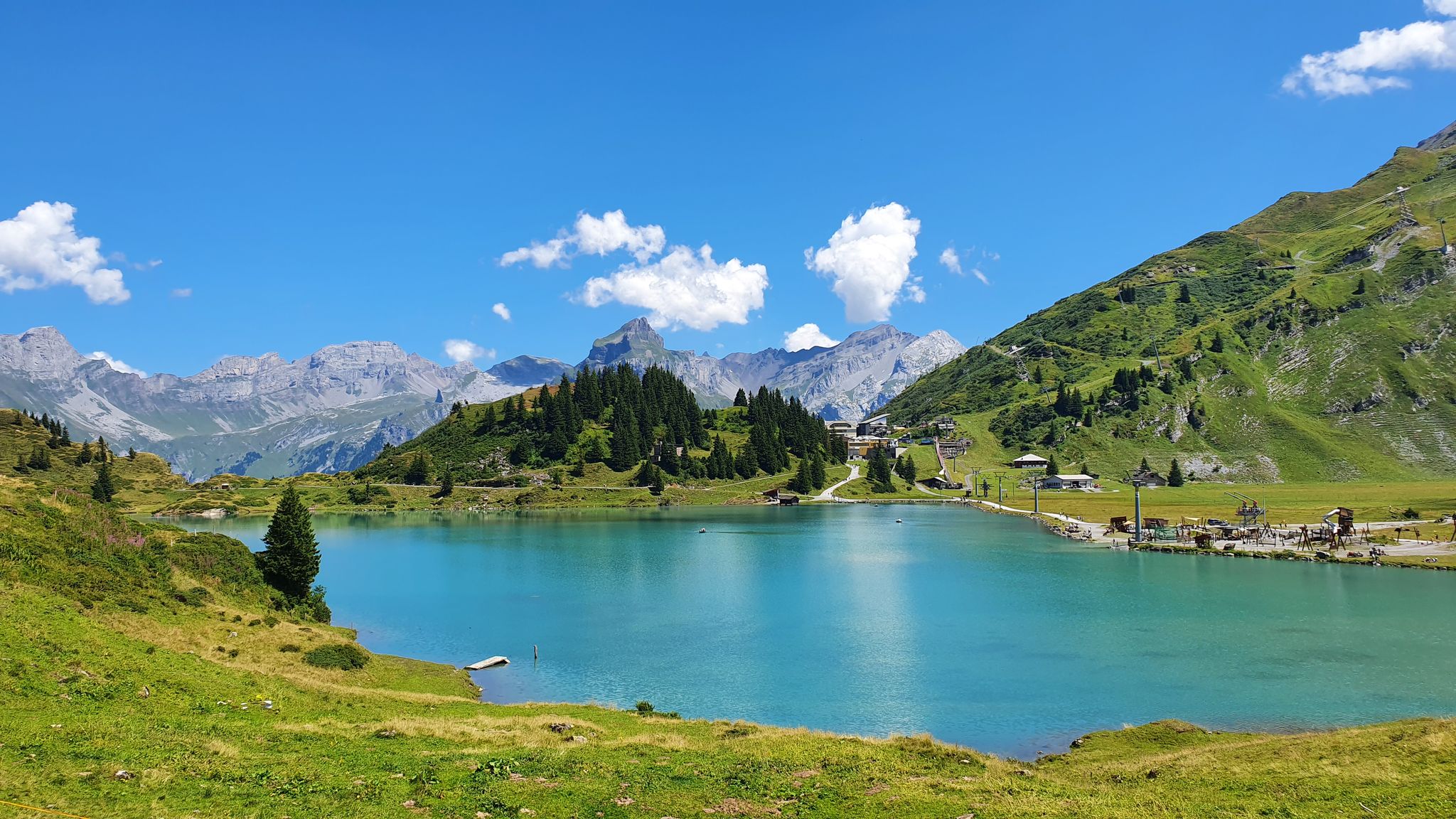
Via Alpina – The 15 stages of the Green Route
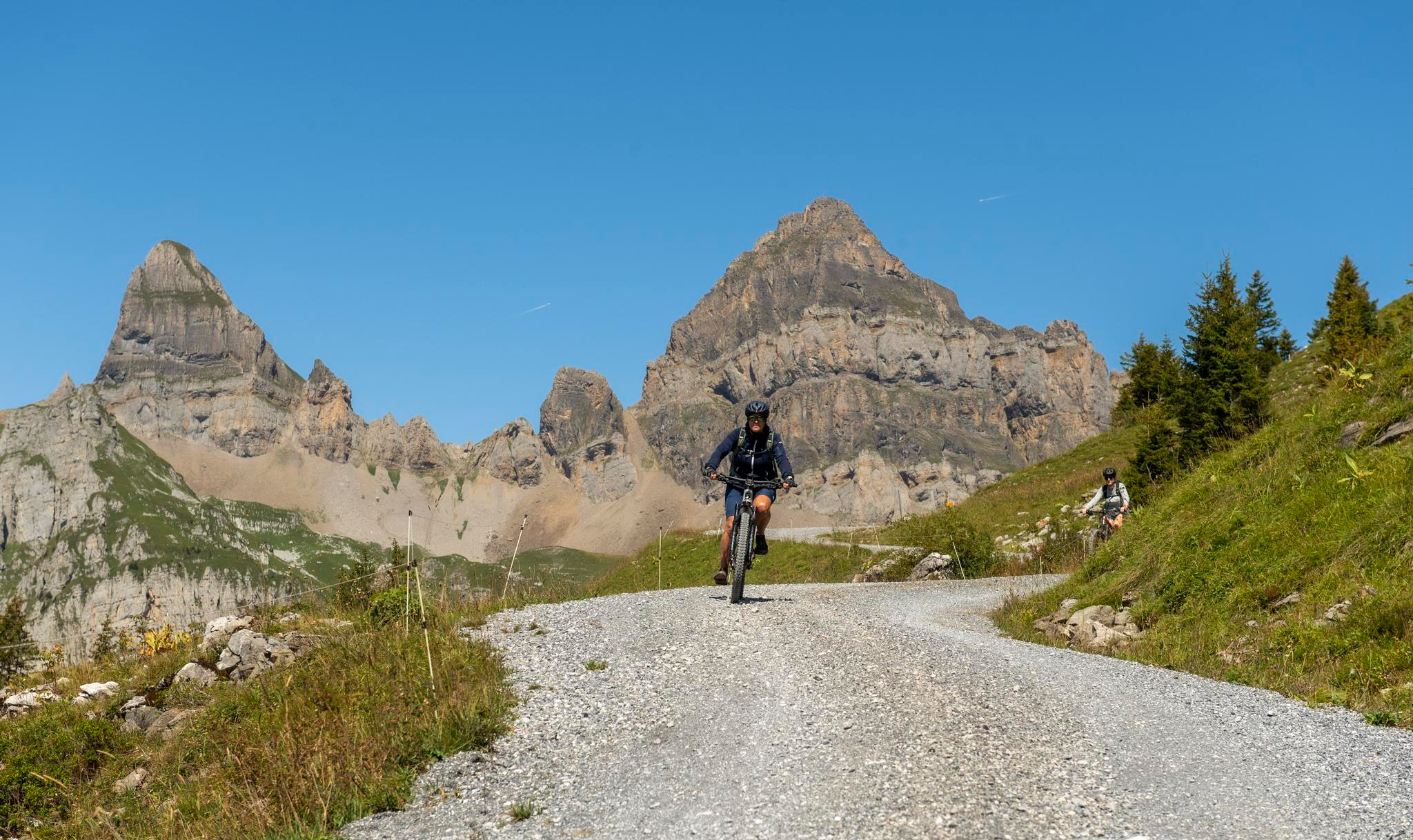
Mountain biking in the heart of Switzerland
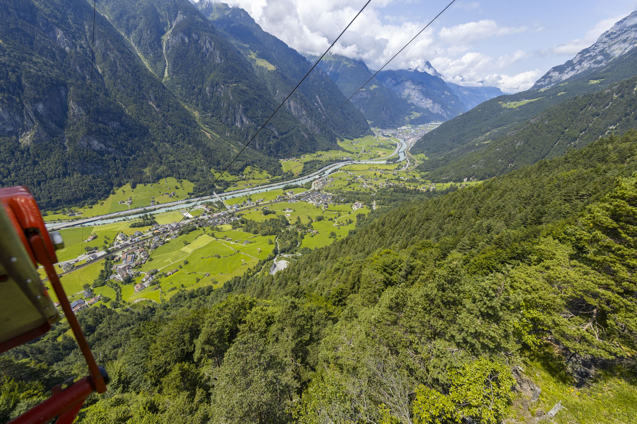
Take the cable car and hike to mountain lakes in Uri
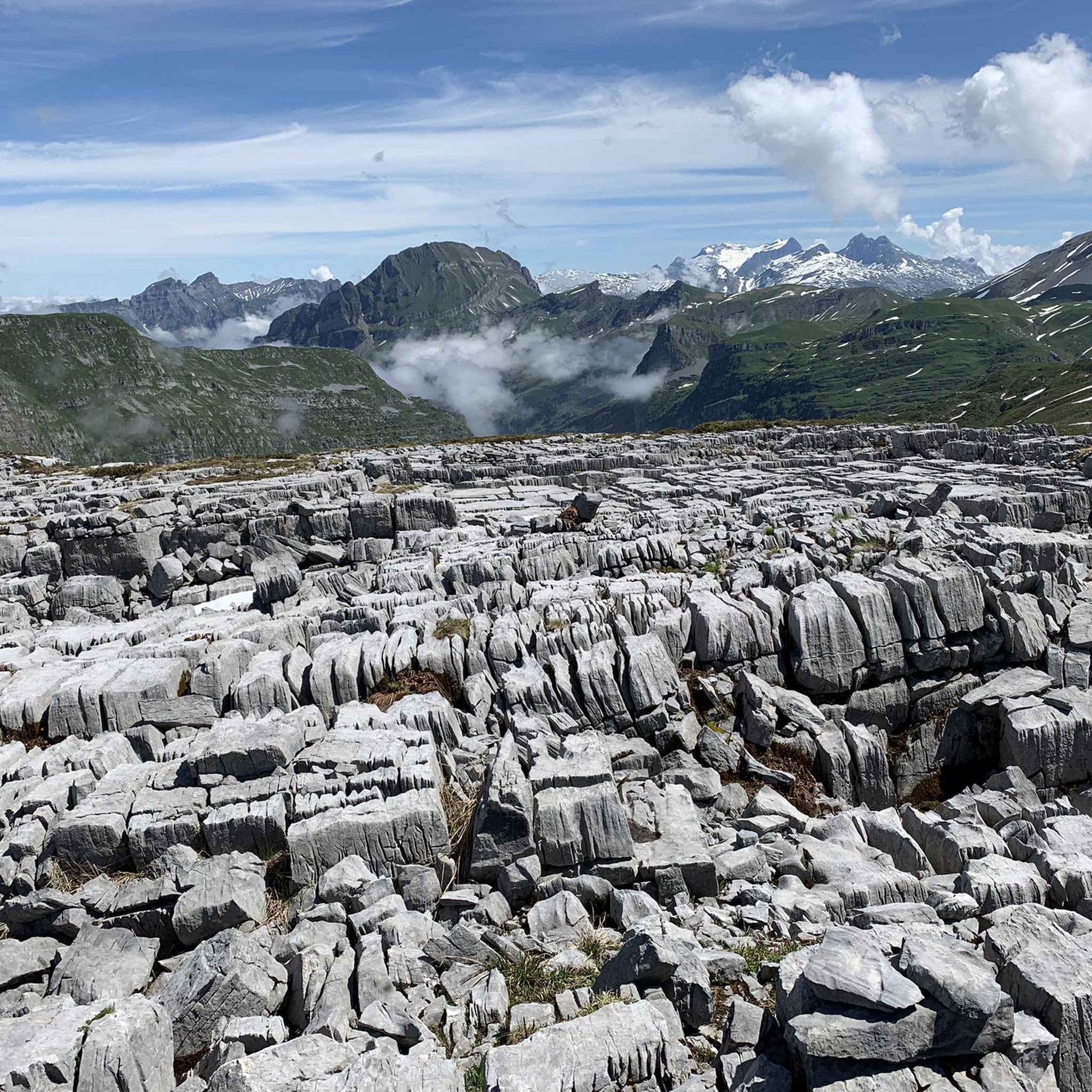
Hiking around Spiringen
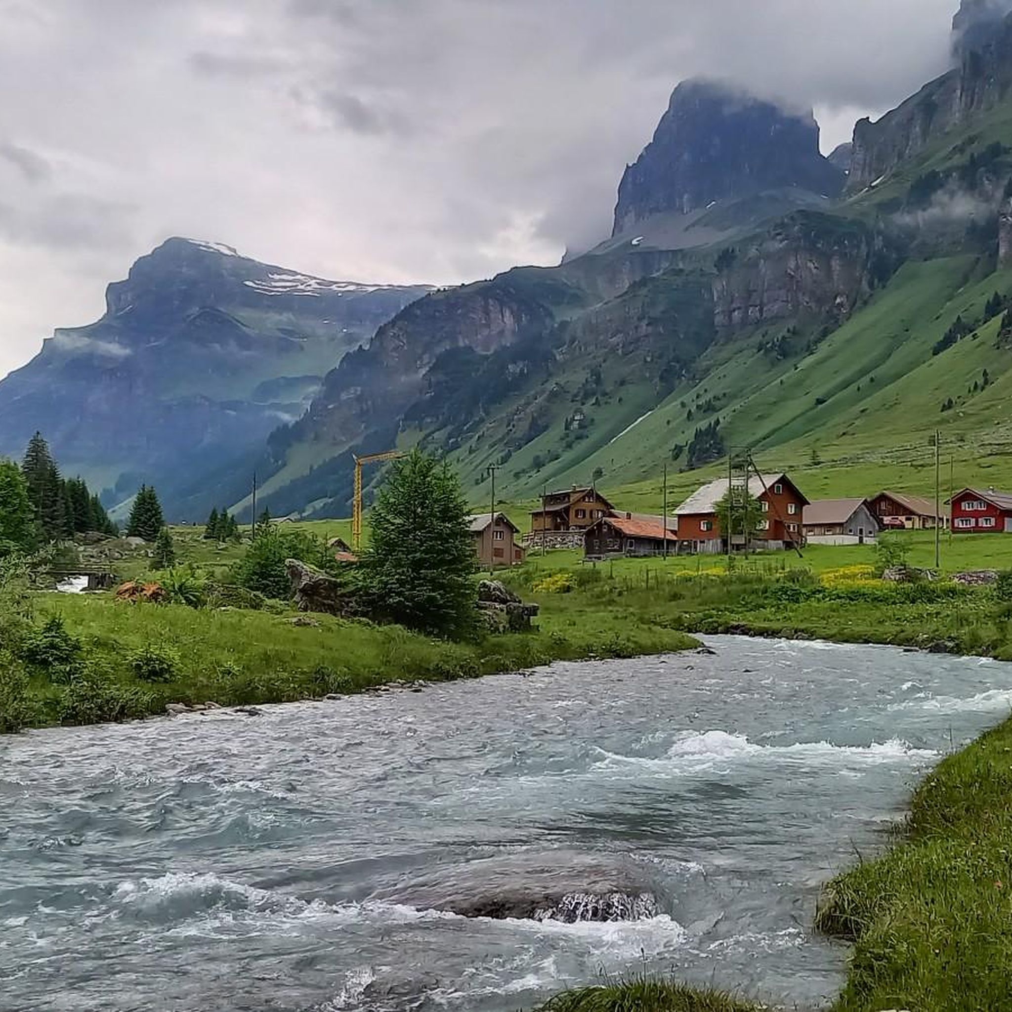
Road Cycling Routes around Spiringen
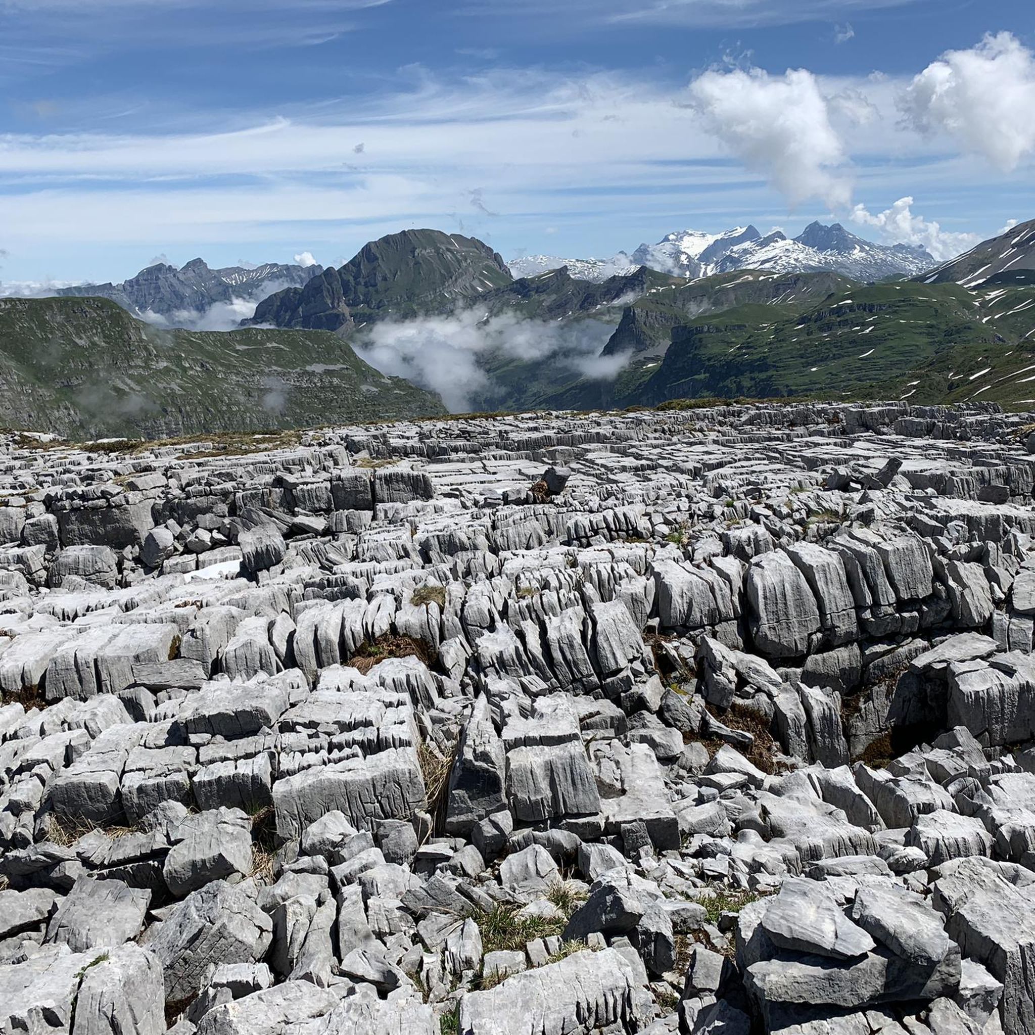
Cycling around Spiringen
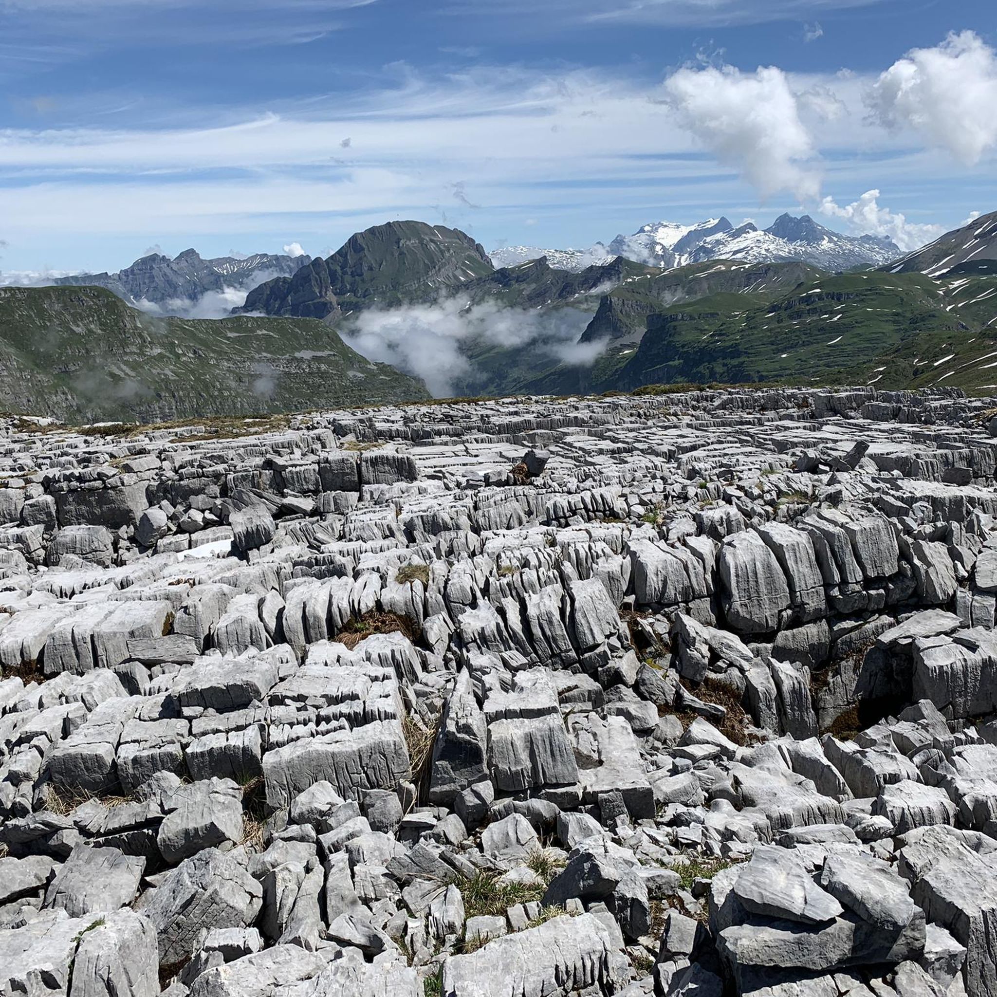
MTB Trails around Spiringen
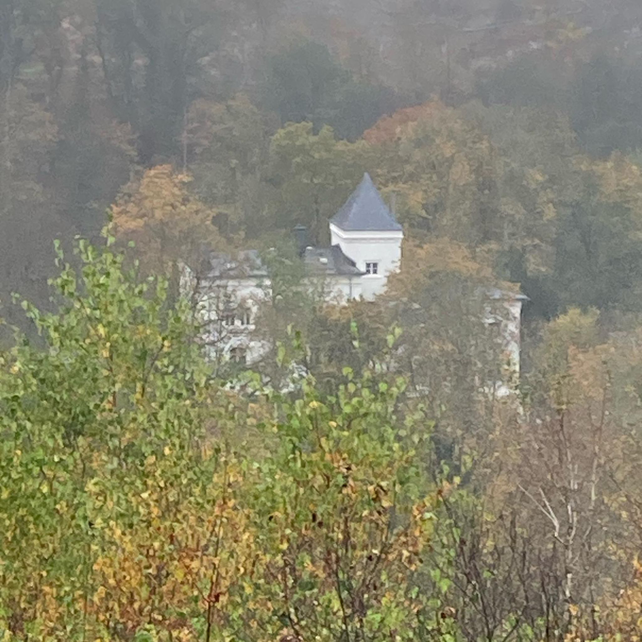
Gravel biking around Spiringen
Running Trails around Spiringen


Tips from the Community

Very beautiful lake in a very quiet environment.
0
0

glorious how everything then opens up. with the view of the lake
0
0
very steep, sure-footedness and a head for heights are required.
0
0

More information at the following link: https://de.wikipedia.org/wiki/Rossstock
2
0
More information at the following link: https://lidernen.ch/
2
0


Frequently Asked Questions
How many mountaineering routes are available around Spiringen?
There are over 30 mountaineering routes around Spiringen, offering a wide range of experiences. Most of these, about 25, are considered difficult, while around 8 are moderate, catering to various skill levels.
What is the best time of year for mountaineering in Spiringen?
The best time for mountaineering in Spiringen is typically during the warmer months, from late spring to early autumn, when trails are clear of snow and weather conditions are more stable. This allows access to high alpine sections and glacial formations. Always check local weather and trail conditions before heading out.
Are there any circular mountaineering routes in Spiringen?
Yes, Spiringen offers several circular mountaineering routes. For example, the Clariden – Iswändli Glacier Entry Point loop from Klausenpass is a challenging option that takes you through glacial terrain. Another is the Grosses Loch (Uri) – Gemsfairenstock (2,972 m) loop from Fisetenpass, which explores high alpine landscapes.
What kind of natural features can I expect to see on mountaineering routes in Spiringen?
Spiringen's mountaineering routes showcase diverse natural features, from green high valleys to rocky, high alpine sections and areas of eternal ice. You'll encounter impressive peaks like Gemsfairenstock, unique karst landscapes, and glacial formations such as the Gletscherseeli beneath the Clariden-Nordwand. The region is known for its spectacular panoramas and deep views towards the Tödi.
Are there any mountaineering routes suitable for beginners or those looking for a moderate challenge?
While many routes in Spiringen are difficult, there are some moderate options available. For instance, the Lidernhütte SAC – Rossstock Summit (2,461 m) loop from Gitschen offers a moderate challenge with significant elevation gain, providing a great introduction to the region's alpine environment.
What are some notable landmarks or attractions near the mountaineering routes?
The region around Spiringen is rich with natural monuments and attractions. You can visit stunning lakes like Oberblegisee, Arnisee (Lake Arni), and Fleschsee. Summits like Fronalpstock Summit and Klingenstock Summit offer fantastic views. The Lidernen Hut (SAC) is also a popular point of interest and a starting point for tours.
Are there mountain huts available for multi-day mountaineering tours?
Yes, the presence of mountain huts like the Claridenhütte, Fridolinshütte, and the Lidernen Hut (SAC) makes multi-day tours possible. These huts provide essential resting points and bases for exploring the higher altitudes and extending your mountaineering adventures in the region.
What do other mountaineers say about the routes in Spiringen?
The mountaineering routes in Spiringen are highly regarded by the komoot community, with an average score of 4.9 stars from over 80 reviews. Mountaineers often praise the breathtaking views, diverse alpine terrain, and the challenging yet rewarding nature of the ascents.
Are there any routes that offer views of the AlpinSolar Plant?
Yes, the Muttsee and AlpinSolar Plant – View of Limmernsee loop from Hinter Obbort is a difficult route that features significant elevation gain and offers views of the AlpinSolar Plant, alongside the stunning natural scenery of the Limmernsee.
What are the main starting points for mountaineering routes in Spiringen?
Key mountain passes such as Klausen Pass and Fisetenpass serve as popular and accessible starting points for numerous mountaineering routes in the Spiringen region, providing entry to the high alpine terrain.
Is public transport available to reach the trailheads in Spiringen?
While specific public transport details for every trailhead are not provided, mountain passes like Klausen Pass and Fisetenpass, which are common starting points, are generally accessible by public transport during the season. It's advisable to check local bus schedules for connections to these areas.
Are there any permits required for mountaineering in Spiringen?
The provided information does not indicate any specific permits required for general mountaineering in the Spiringen region. However, it's always good practice to check with local tourist information or alpine clubs for the latest regulations, especially for sensitive areas or specific peaks.
Most popular attractions around Spiringen

Get inspired with the komoot mobile app


Explore more
Browse the best Mountain Hikes & Routes in other regions.
