The 5 Most Amazing Peaks around Montaillou
Best mountain peaks around Montaillou are found in the Ariège department of the French Pyrenees. The commune of Montaillou itself sits at an average elevation of 1,325 meters, with local terrain ranging from 1,181 to 1,806 meters. The region features prominent ascents and passes, offering diverse natural landscapes. This area provides various mountain features for exploration.
Best mountain peaks around Montaillou
- The most popular mountain peaks is Pic de Tarbesou, a summit that culminates at 2,364 meters and overlooks…
Last updated: June 24, 2026
Pailhères Pass
Highlight • Mountain Pass
Translated by Google •
Tip by

Pic de Tarbesou
Highlight • Summit
Translated by Google •
Tip by

Sign up now to discover places like this
Get recommendations on the best single tracks, peaks, & plenty of other exciting outdoor places.
Sign up for free
Sarrat of the Pond
Highlight • Summit
Translated by Google •
Tip by
Pierre Blanche Pass
Highlight • Viewpoint
Translated by Google •
Tip by

Pic du Midi de Roquefeuil
Highlight • Summit
Translated by Google •
Tip by

Sign up for free to discover even more peaks around Montaillou.
Sign up for free
Already have an account?
Start today with a free account
Your next adventure awaits.
Login or Signup
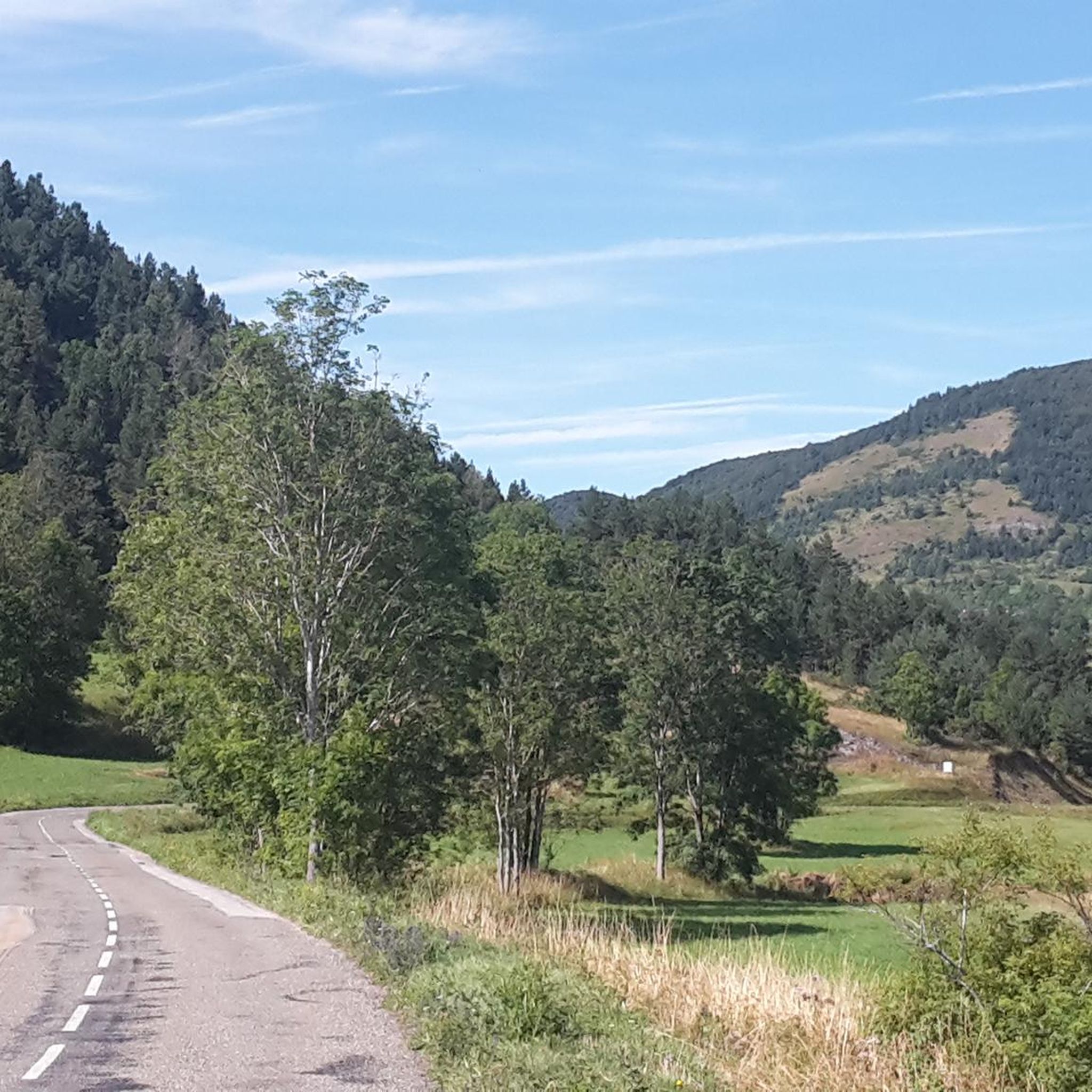
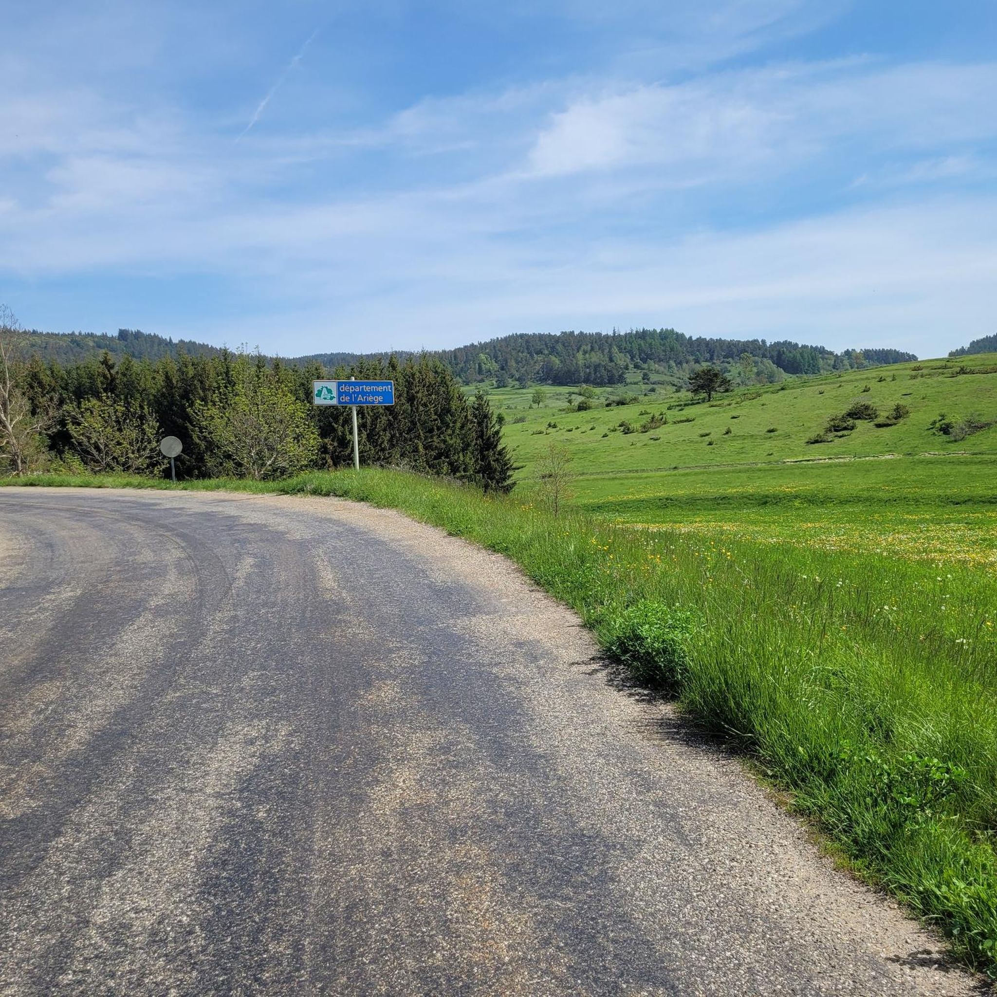
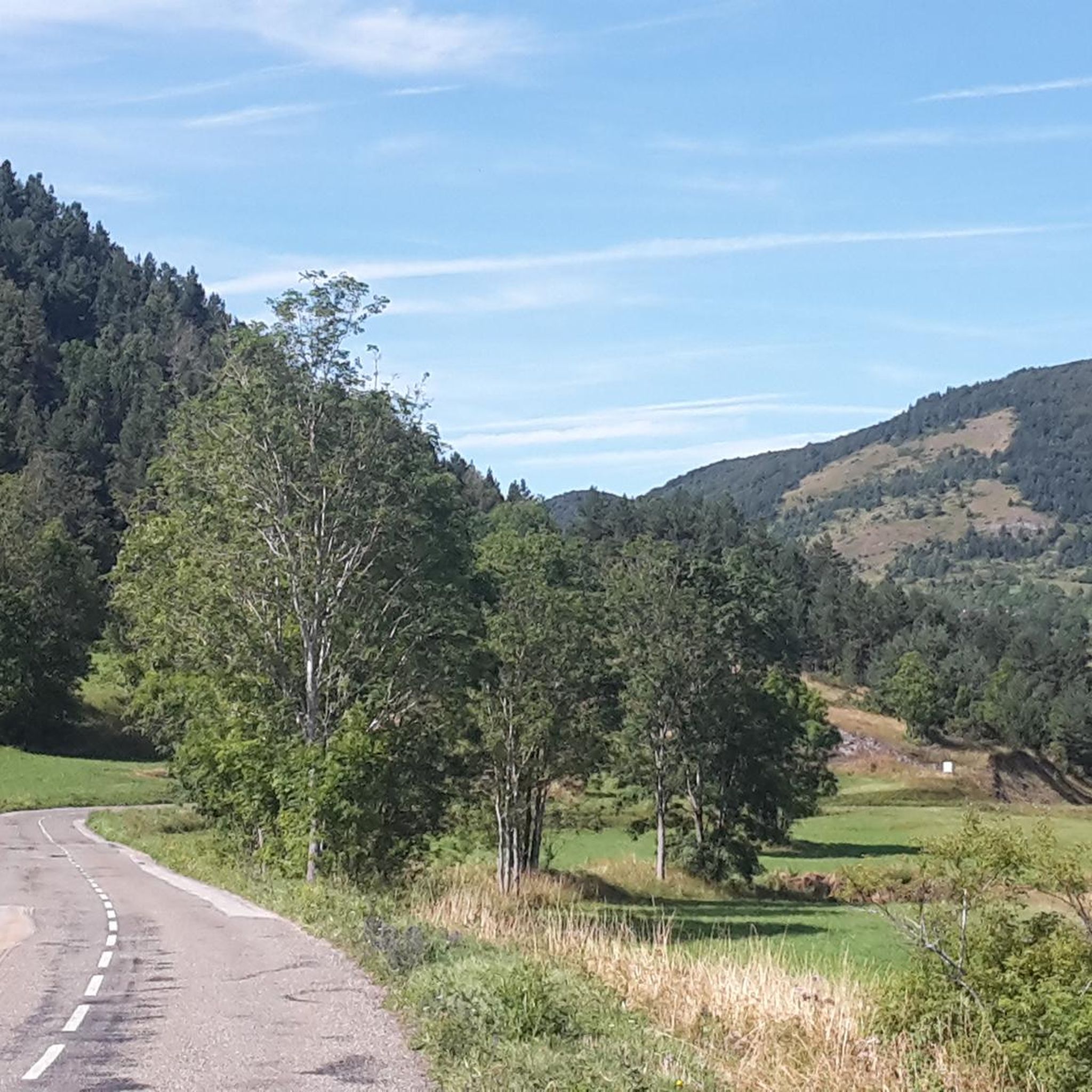
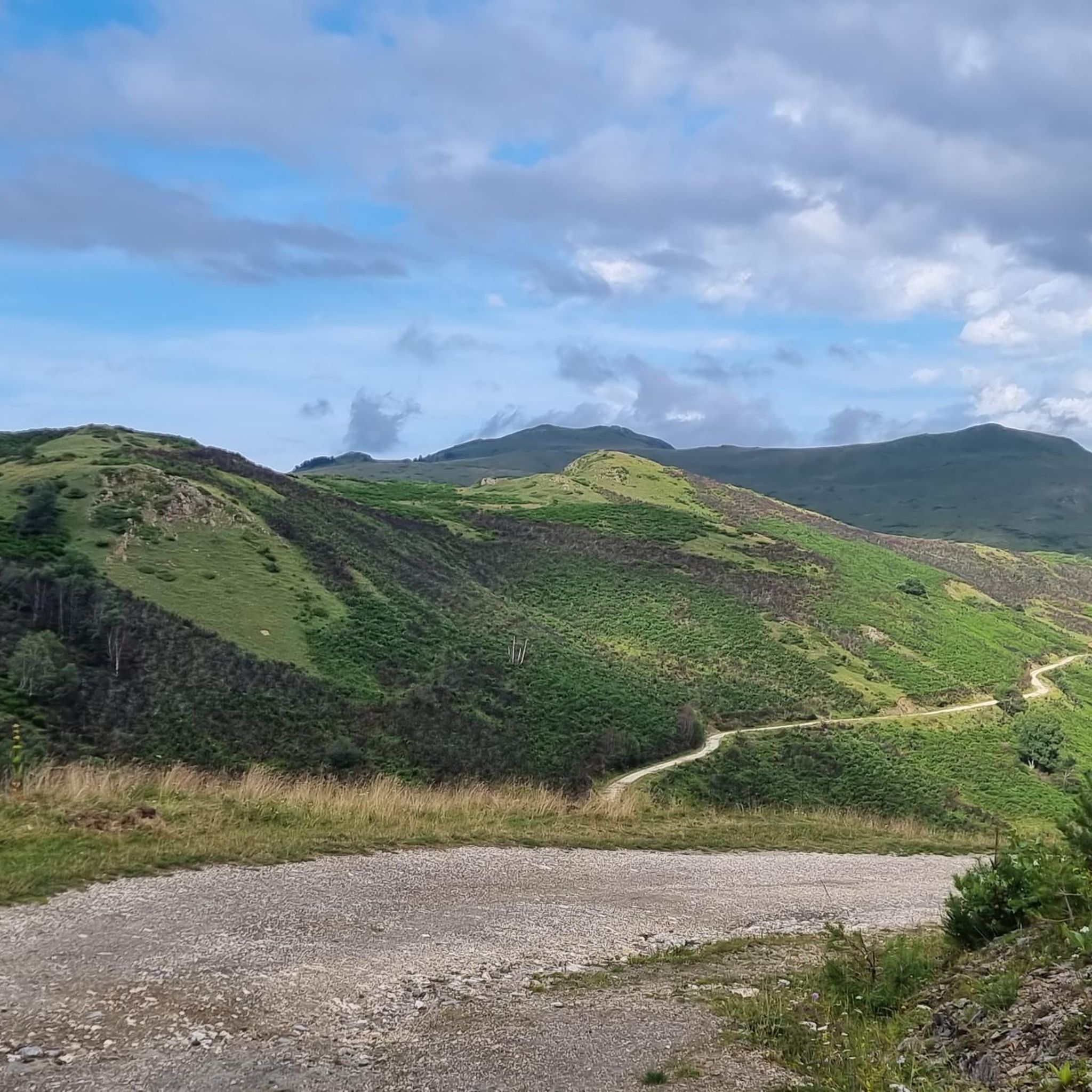
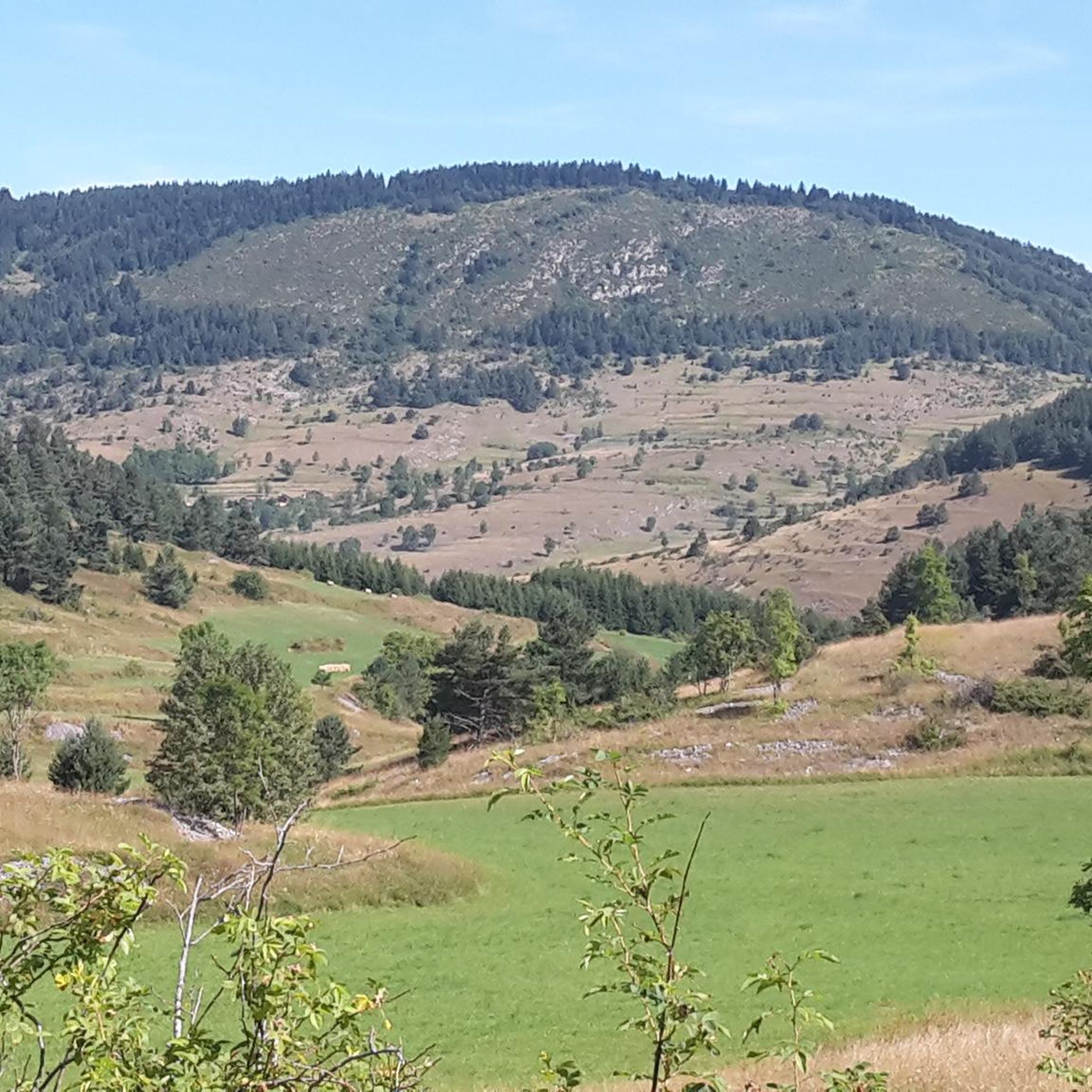

Tips from the Community

Nice climb, there are signs at the rocky parts, if the top is in the clouds the trails are also slippery, but it is more than worth the nice climb.
16
0

One of the best experiences on my entire tour. I have this picture with the view of the mountains as my screen background. The roads are still closed, the snow is piled up meters high on the sides and at the same time there is not a single car on the road. Simply fantastic
1
0

The Pierre Blanche pass is located at an altitude of 1,551 meters. This mountain pass offers a beautiful view of the surrounding peaks.
1
0

360 degree view of the Pays de Sault
0
0

gorgeous view! and the way from there down to the lakes is definitely worth securing.
1
1

The Sarrat de l'Étang is a summit located on the heights of Ax-les-Thermes. Culminating at 1,127 meters above sea level, it offers a beautiful panorama over the Oriège valley.
1
0
The Sarrat de l'Étang is a summit located on the heights of Ax-les-Thermes. Culminating at 1,127 meters above sea level, it offers a beautiful panorama over the Oriège valley.
0
0
The Col de Pailhères, or Port de Pailhères, is one of the emblematic passes of the Pyrenees and the Tour de France. Culminating at 2,001 meters above sea level, it is one of the few passes in the Pyrenees to exceed the symbolic bar of 2,000 meters. The climb from Mijanès is 10.6 kilometers long with an average of 8.2%, including some passages at more than 10%. It is also possible to climb from Ax-les-Thermes by means of a climb of 18.6 kilometers with an average of 6.9%.
4
0
Frequently Asked Questions
What are some of the most popular mountain peaks and passes to explore around Montaillou?
The region around Montaillou offers several notable peaks and passes. Among the most popular are Pic de Tarbesou, known for its magnificent views over the Rabassoles ponds, and Pailhères Pass, an emblematic Pyrenean pass reaching 2,001 meters, famous for its challenging climbs and 360-degree alpine views. Another appreciated spot is Sarrat of the Pond, offering a beautiful panorama over the Oriège valley.
Are there any historically significant mountain sites near Montaillou?
Yes, the region is rich in history. The most prominent is the Pog de Montségur, home to the historic Montségur Castle. This site, at an altitude of 1,200 meters, is a powerful symbol of Cathar resistance. You can hike to the summit to explore the castle ruins and enjoy breathtaking panoramic views. While the castle itself is a 17th-century reconstruction, it stands on the original Cathar stronghold. You can learn more about its history on Wikipedia.
What kind of natural features can I expect to see on mountain trails around Montaillou?
The mountain trails around Montaillou showcase diverse natural beauty. You'll encounter ash woods, rocky slopes adorned with rhododendrons, and fir trees. Higher up, peaks like Pic de Tarbesou offer views of deep blue lakes. The area is also a habitat for wildlife such as chamois, deer, and various birds of prey, especially around the more remote peaks like Pic de Saint-Barthélemy and Peak of Soularac.
What are the best times of year to hike in the Montaillou mountains?
The best time to hike in the Montaillou mountains is generally from late spring to early autumn. During this period, mountain passes like Pailhères Pass are typically open, and snow conditions are favorable for higher-altitude trails. Always check local conditions before heading out, especially in spring and autumn when weather can be unpredictable.
Are there challenging mountain ascents for experienced hikers near Montaillou?
Absolutely. For experienced hikers seeking strenuous climbs, the twin peaks of Pic de Saint-Barthélemy (2,348 meters) and Peak of Soularac (2,368 meters) offer challenging hikes, typically taking around 5.5 hours. These trails immerse you in preserved mountain wilderness and reward you with extensive views of the Pyrenean chain. The Pic du Midi de Roquefeuil also offers a nice, partially exposed climb with great views.
What outdoor activities can I do near the mountain peaks around Montaillou?
Beyond hiking, the Montaillou area is excellent for various outdoor activities. You can find numerous routes for running, mountain biking, and road cycling. For example, there are several running loops like the 'Montaillou Castle loop from Prades' and 'Running loop from Comus'. Mountain bikers can explore routes such as 'Comus – Camurac Castle loop from Montaillou', while road cyclists can tackle challenging rides like the 'Col des Sept Frères - Roquefeuil Loop'. You can find more details on these activities in the Running Trails around Montaillou, MTB Trails around Montaillou, and Road Cycling Routes around Montaillou guides.
Are there any mountain passes known for cycling challenges in the region?
Yes, Pailhères Pass (Col de Pailhères) is particularly renowned for its challenging climbs and has been a regular feature in the Tour de France. Reaching an elevation of 2,001 meters, it offers numerous switchbacks and stunning 360-degree views, making it a prime destination for cyclists seeking a significant challenge. The climb from Mijanès is 10.6 kilometers long with an average of 8.2%, including sections over 10%.
What do visitors enjoy most about the mountain peaks around Montaillou?
Visitors frequently praise the magnificent panoramic views from the summits and passes. The challenging climbs, especially on routes like Pailhères Pass, are highly appreciated by cyclists and hikers alike. The immersion in diverse natural landscapes, from forests to rugged peaks and deep blue lakes, also receives high acclaim. The area has received 185 upvotes and features 91 photos from visitors on komoot, highlighting its appeal.
Are there any easy mountain hikes or viewpoints suitable for a less strenuous outing?
For a less strenuous outing with beautiful views, consider visiting Sarrat of the Pond. This summit, located on the heights of Ax-les-Thermes at 1,127 meters, offers a lovely panorama over the Oriège valley. Another option is the Pierre Blanche Pass, situated at 1,551 meters, which provides a beautiful view of the surrounding peaks and is right at a crossroads, making it easily accessible.
What is the highest peak in the broader Ariège department, and how far is it from Montaillou?
While Montaillou itself is surrounded by impressive peaks, the highest peaks in the broader Ariège department are Pica d'Estats (3,143 m) and Montcalm Peak (3,077 m). These would involve more extensive expeditions from Montaillou but represent significant mountaineering challenges in the wider Pyrenees, offering impressive views for those willing to undertake the journey.
Most popular routes around Montaillou
Most popular attractions around Montaillou

Get inspired with the komoot mobile app


Explore more
See even more amazing summits around Montaillou with these guides:
