The best road cycling routes around Montaillou
4.7
(65)
3,676
riders
43
rides
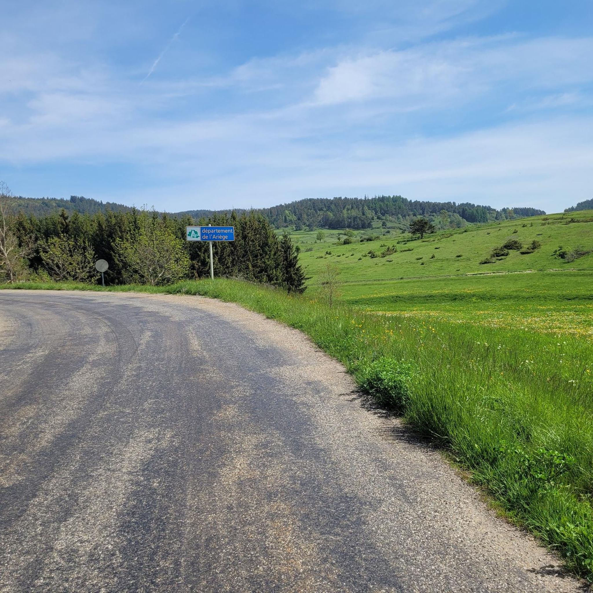
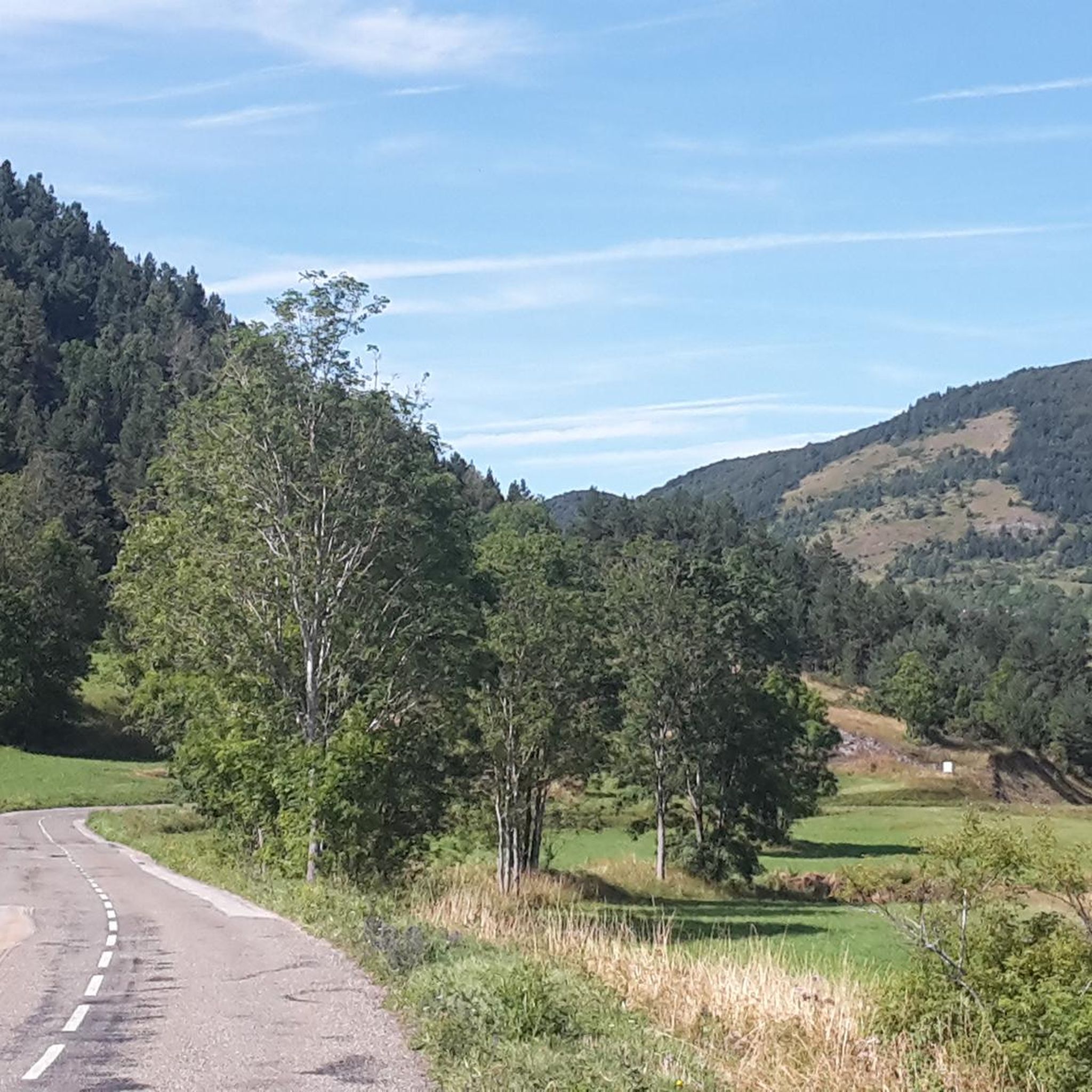
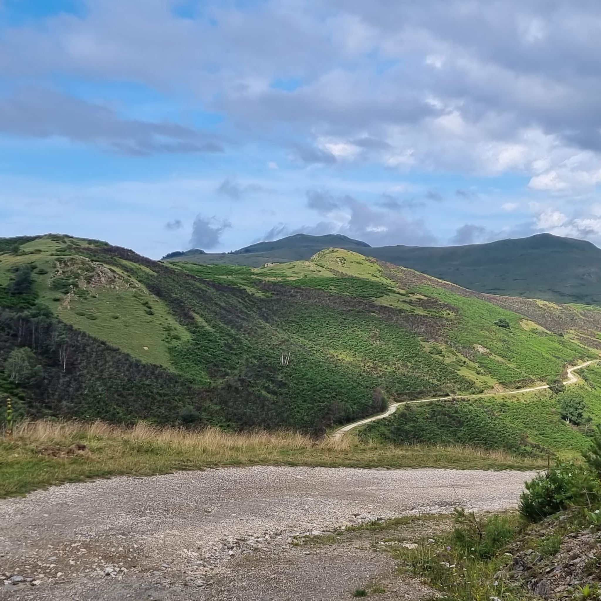
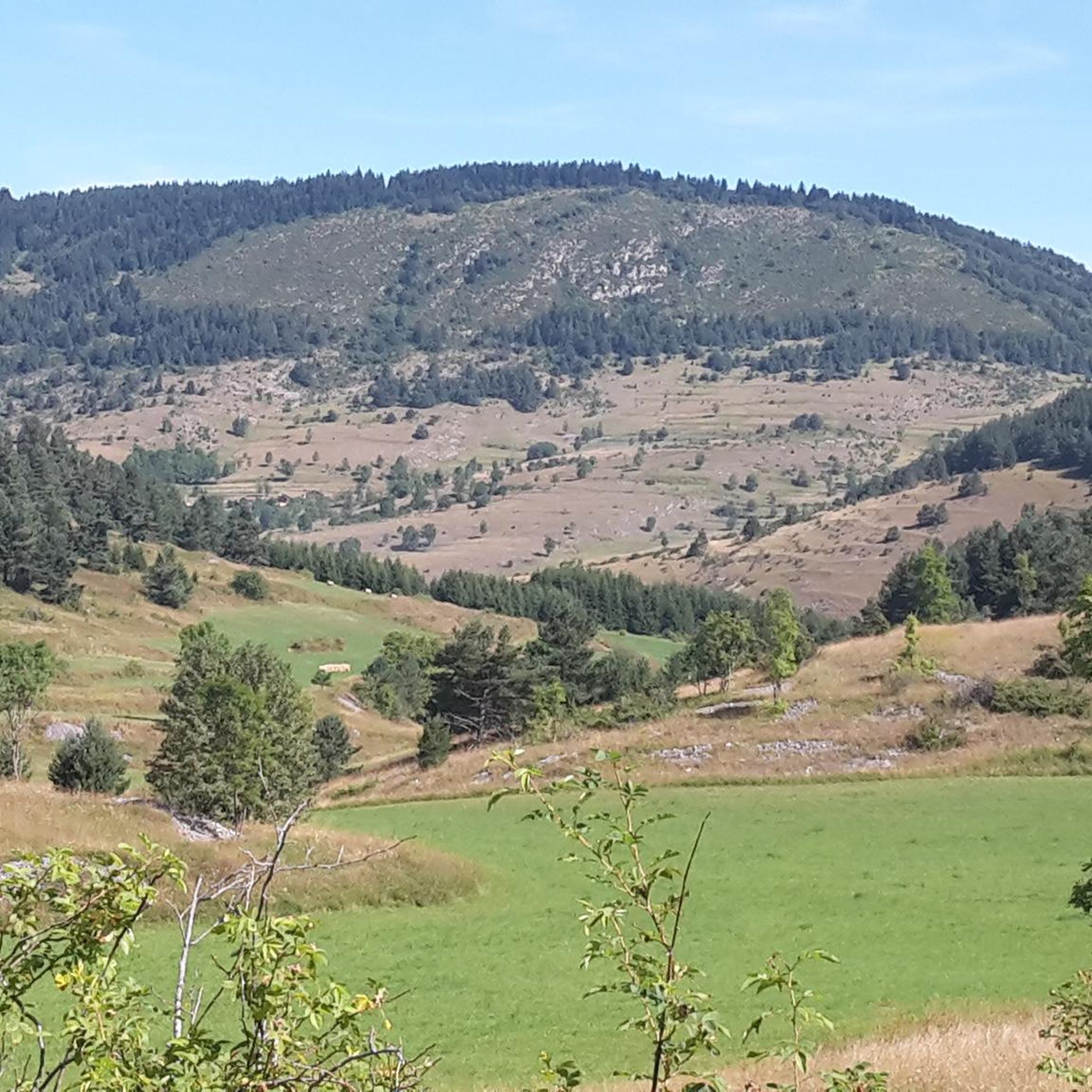
Road cycling around Montaillou is characterized by its challenging mountainous terrain and high-altitude passes within the Ariège department of France's Occitanie region. The area, situated at an altitude of 1300 meters, features demanding ascents and scenic routes through unspoiled nature. Cyclists encounter significant climbs, including iconic Pyrenean passes, making it a destination for experienced riders. The landscape combines rugged mountains with historical sites, providing diverse road cycling experiences.
Best road cycling routes around Montaillou
- The most popular road cycling route…
Last updated: July 4, 2026
5.0
(2)
35
riders
30.9km
01:48
620m
620m
Moderate road ride. Good fitness required. Some segments of this route may be unpaved and difficult to ride.
52
riders
74.7km
03:49
1,300m
1,300m
Hard road ride. Very good fitness required. Mostly well-paved surfaces and easy to ride.

Sign up for free
5.0
(2)
46
riders
42.2km
02:29
1,040m
1,040m
Hard road ride. Very good fitness required. Mostly well-paved surfaces and easy to ride.
5.0
(2)
32
riders
43.9km
02:38
1,130m
1,130m
Hard road ride. Very good fitness required. Mostly well-paved surfaces and easy to ride.
21
riders
Moderate road ride. Good fitness required. Mostly well-paved surfaces and easy to ride.
Get access to more routes and recommendations from other explorers.
Sign up for free
Already have an account?
Our route recommendations are based on thousands of hikes, rides, and runs completed by other people on komoot.
Start today with a free account
Your next adventure awaits.
Login or Signup

Tips from the Community

There are several fountains and public pools with pure thermal water to warm your feet after the descent.
0
0

The Col de Marmare-Chioula is an 18.6-kilometer long Category 1 pass. It is located in Luzenac.
16
0
The Col de Marmare from Luzenac is a climb in the Ariège region. It is 16.8 kilometers long and climbs 828 meters.
0
0
The Col du Chioula from Prades is a climb in the Ariège region. It is 2.3 kilometers long and climbs 72 meters.
0
0
The Croix des 7 Frères is a small, inconspicuous summit and the start of a nice ride in the area.
17
0
1253 meters high, you can reach it via asphalt or gravel road
6
0
nice lake with catering facilities
6
0

Nice relax and shower stop in the swimming pool by Parc de'Espagne. Also a hose to clean the bikes in park near the gondola lift entry.
0
0
Frequently Asked Questions
How many road cycling routes are available around Montaillou?
There are over 40 road cycling routes around Montaillou, offering a diverse range of experiences. The majority, 26 routes, are classified as difficult, with 13 moderate options and 1 easier route, catering to various skill levels.
What kind of terrain can I expect when road cycling in Montaillou?
Montaillou is situated in the French Pyrenees, so you can expect challenging mountainous terrain with significant elevation gains. Routes often feature iconic Pyrenean passes like the Col de Pailhères, alongside quiet country roads winding through verdant valleys, agricultural lands, and forested areas. The landscape offers a captivating blend of grandeur and scenic beauty.
Are there any particularly challenging routes for experienced road cyclists?
Yes, Montaillou is renowned for its demanding ascents. For a significant challenge, consider the Col du Chioula – Pailhères Pass loop from Col du Pradel, which covers over 167 km and features substantial elevation gain. The Col de Pailhères itself is an emblematic pass, frequently featured in the Tour de France, with an average gradient of 8.2% over 10.6 kilometers from Mijanès.
Can I find routes with scenic viewpoints or historical landmarks?
Absolutely. Many routes offer splendid views of mountain summits and picturesque valleys. You can also combine your ride with visits to historical sites. For example, the Ax-les-Thermes – Col du Chioula loop from L'Eycherque offers panoramic views from the Col du Chioula. You can also find routes that pass by significant landmarks such as Montségur Castle or the ruins of Montaillou Castle.
What do other road cyclists enjoy most about road cycling in Montaillou?
The area is highly rated by the komoot community, with an average score of 4.8 stars from over 60 reviews. Cyclists often praise the challenging climbs, the breathtaking views from high-altitude passes like Pailhères Pass, and the opportunity to explore diverse landscapes and historical sites like Montségur Castle.
Are there any circular road cycling routes available?
Yes, many of the routes around Montaillou are designed as loops, allowing you to start and end in the same location. Examples include the Col des Sept Frères - Roquefeuil Loop, a moderate 30.9 km ride, and the more difficult Nice view of Puivert – Col des Sept Frères loop from Prades, which is 74.7 km long.
What is the best time of year for road biking in Montaillou?
The best time for road cycling in Montaillou is typically from late spring to early autumn (May to October). During these months, the weather is generally more stable, and the high mountain passes are clear of snow. Summer offers warmer temperatures, while spring and autumn provide cooler conditions and vibrant scenery.
Are there any longer-distance cycling opportunities or connections to other routes?
Yes, Montaillou's location in the Pyrenees provides access to longer-distance cycling adventures. The region is close to routes like the "Cyclotour de l'Ariège" and the "Vélosud," which follows the foothills of the Pyrenees. For more information on the Vélosud, you can visit francevelotourisme.com.
Where can I find parking for road cycling routes in Montaillou?
While specific parking details vary by route, many routes start from villages or towns like Montaillou itself, Ax-les-Thermes, or other smaller hamlets. These locations typically offer public parking facilities. It's advisable to check the starting point of your chosen route for the most convenient parking options.
Are there any towns or resorts nearby that offer amenities for cyclists?
Yes, Ax-les-Thermes is a notable mountain town and spa resort nearby. It serves as a convenient base or stopover for cyclists, offering amenities such as accommodation, restaurants, and shops, making it a good place to refuel and relax after a challenging ride.
Are there any easier road cycling routes for beginners or those looking for a less strenuous ride?
While Montaillou is known for its challenging terrain, there is one route classified as easy, and 13 moderate routes that might be suitable for less experienced riders or those seeking a more relaxed pace. These routes often traverse valleys or lower-gradient sections, providing a gentler introduction to the region's beauty. The Col des Sept Frères - Roquefeuil Loop is a moderate option that features a steady climb through the local landscape.
Most popular attractions around Montaillou

Get inspired with the komoot mobile app


Explore more
Browse the best Road cycling routes in other regions.
