The best road cycling routes around Saint-Michel-De-Llotes
4.4
(155)
3,005
riders
68
rides
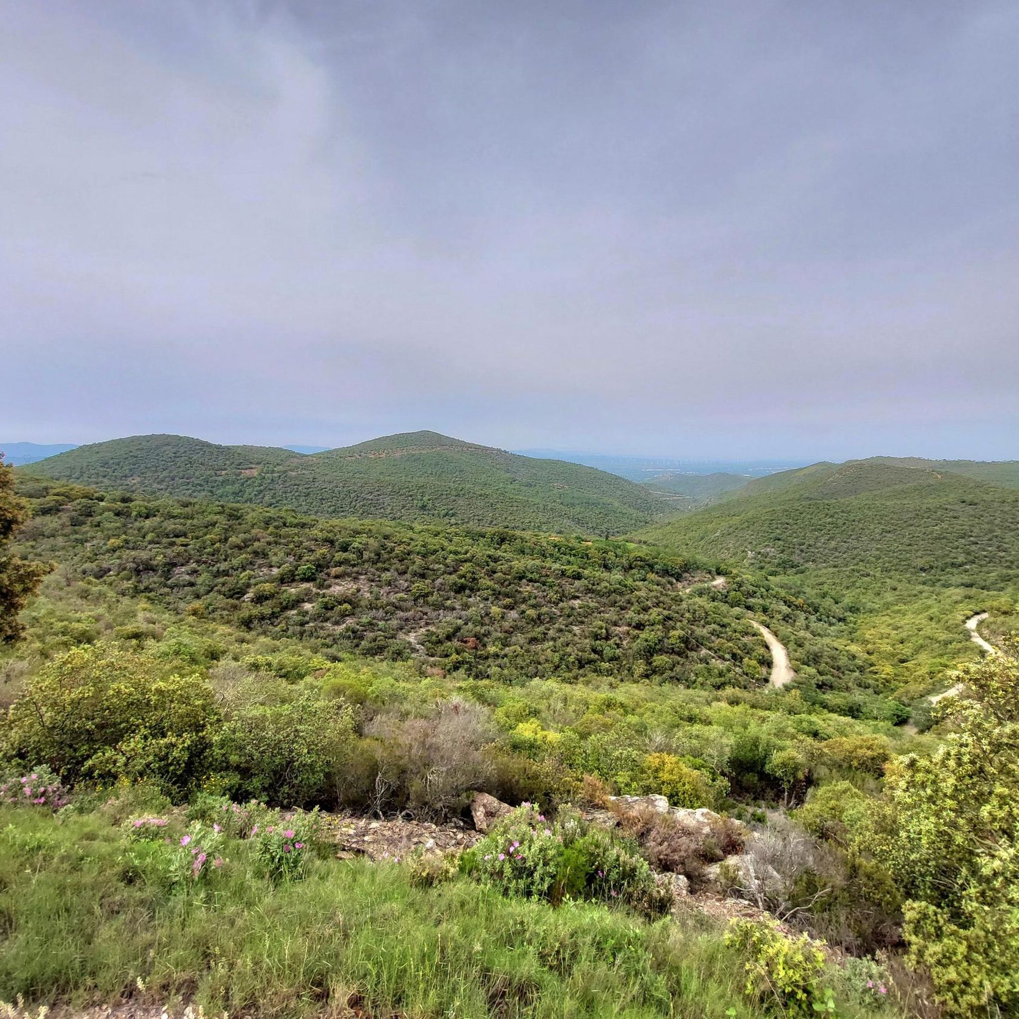
Road cycling routes around Saint-Michel-De-Llotes traverse a landscape characterized by its hilly and mountainous terrain, featuring numerous passes and valleys. The region offers a mix of challenging ascents and scenic descents, with routes often winding through rural areas and past small villages. Elevation changes are a common feature, providing varied experiences for road cyclists.
Best road cycling routes around Saint-Michel-De-Llotes
- The most popular road cycling route is Roque Jalère Pass – Marcevol loop from Ille-sur-Têt, a 48.2 miles (77.6…
Last updated: November 5, 2026
3.1
(14)
109
riders
69.6km
02:59
570m
570m
Moderate road ride. Good fitness required. Mostly well-paved surfaces and easy to ride.
4.8
(4)
94
riders
48.4km
02:05
400m
400m
Moderate road ride. Good fitness required. Mostly well-paved surfaces and easy to ride.

4.0
(5)
76
riders
50.5km
02:35
880m
880m
Moderate road ride. Good fitness required. Mostly well-paved surfaces and easy to ride.
5.0
(1)
54
riders
48.2km
02:33
910m
910m
Hard road ride. Very good fitness required. Mostly well-paved surfaces and easy to ride.
4.5
(2)
57
riders
41.3km
02:02
610m
610m
Moderate road ride. Good fitness required. Mostly well-paved surfaces and easy to ride.
Get access to more routes and recommendations from other explorers.
Already have an account?
Our route recommendations are based on thousands of hikes, rides, and runs completed by other people on komoot.
Start today with a free account
Your next adventure awaits.
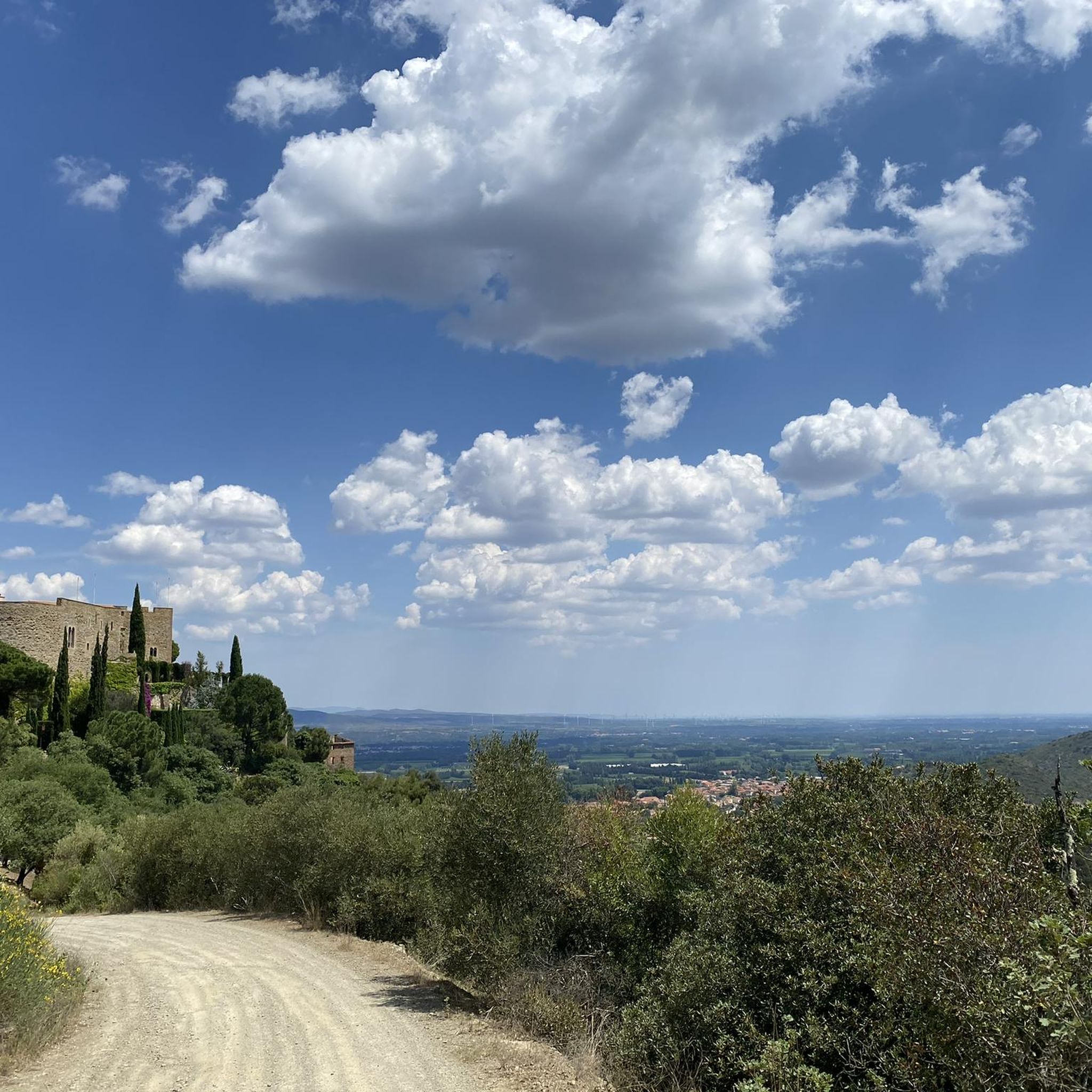


Tips from the Community

A protected site that is a must-see. Enchanting landscape.
0
0

The fortified fence of the village had four towers and seven gates. Three gates and two towers have survived to this day, as well as a large part of the defensive walls.
1
0

Start or end of the Pyrenees tour
0
0

You don't really have a nice view from here
0
0

Superb landscapes, the climb to the village burns your legs a little
0
0

Taken by the pass route, it peaks at an altitude of 655 meters in the Eastern Pyrenees. Its slopes not exceeding 7% make it a gentle and accessible climb.
0
0

Nice little place in the valley of the Desix.
3
0

a treat after the effort of the climb to the Col de la Bataille
0
0
Frequently Asked Questions
How many road cycling routes are available around Saint-Michel-De-Llotes?
There are over 60 road cycling routes in the Saint-Michel-De-Llotes region, offering a wide range of options for different skill levels and preferences.
Are there easy road cycling routes for beginners or families?
Yes, the region offers 8 easy road cycling routes. While the terrain is generally hilly, these routes are designed to be more accessible. For example, the Bouleternère – Fontcouverte Pass loop from Ille-sur-Têt is a moderate option that leads through rolling hills and picturesque landscapes.
What are some challenging road cycling routes for experienced riders?
For experienced riders seeking a challenge, there are 19 difficult routes. A notable option is the Roque Jalère Pass – Marcevol loop from Ille-sur-Têt, which is 48.2 miles (77.6 km) long and features significant elevation gain and scenic pass crossings. Another challenging route is the Col de Fontcouverte (609 m) – Fourtou Pass (655 m) loop from Ille-sur-Têt.
What is the typical duration for road cycling routes in this area?
Route durations vary significantly based on distance and elevation. Shorter, moderate routes like the Bouleternère – Fontcouverte Pass loop can take around 2 hours. More challenging routes, such as the Roque Jalère Pass – Marcevol loop, typically require over 4 hours to complete.
What kind of terrain can I expect on road cycling routes around Saint-Michel-De-Llotes?
The region is characterized by its hilly and mountainous terrain, featuring numerous passes and valleys. You can expect a mix of challenging ascents and scenic descents, with routes often winding through rural areas and past small villages. Elevation changes are a common feature, providing varied experiences.
Are there any specific permits required for road cycling in Saint-Michel-De-Llotes?
Generally, no specific permits are required for road cycling on public roads and designated routes in the Saint-Michel-De-Llotes area. However, always respect local regulations and private property signs.
What are some scenic viewpoints or attractions along the road cycling routes?
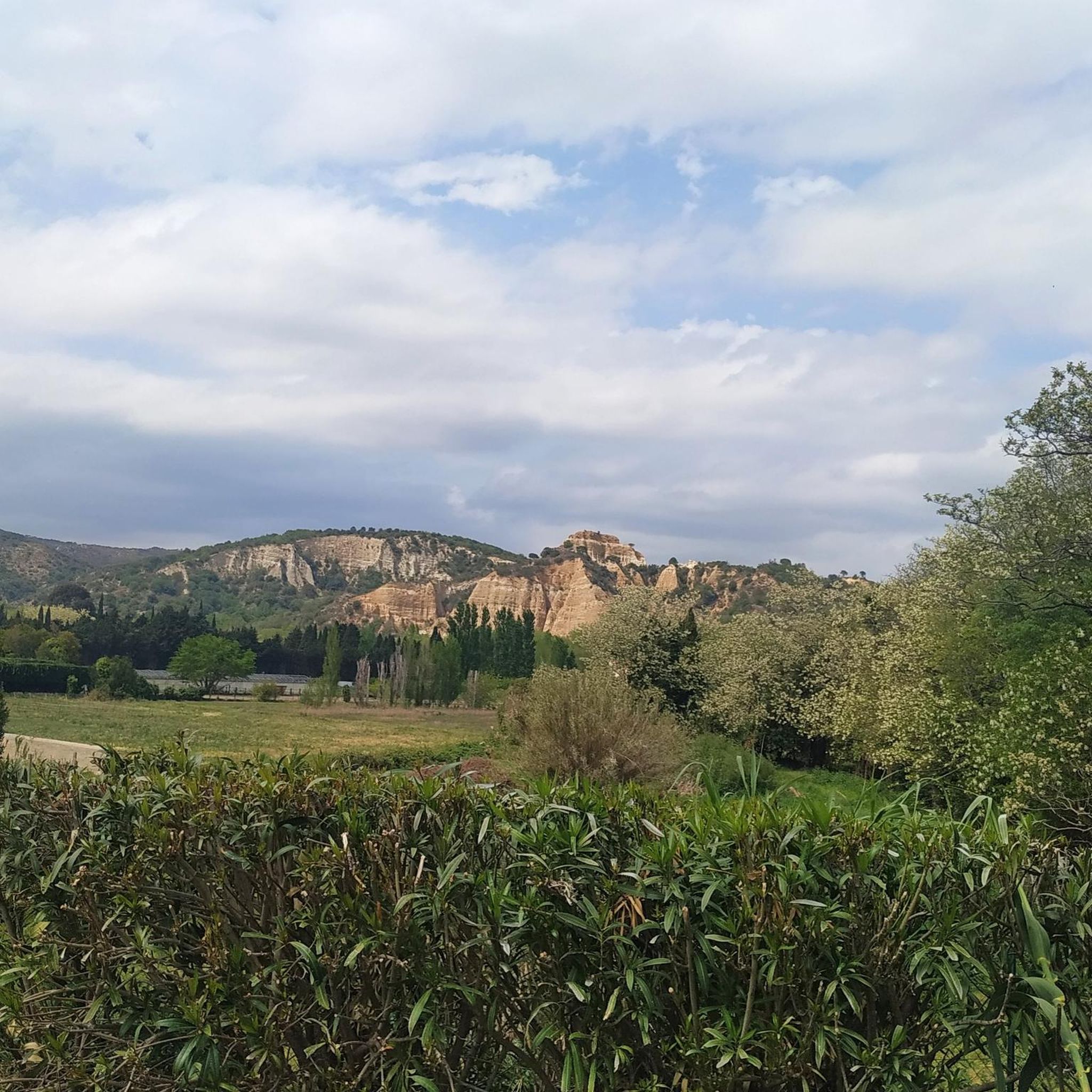
Many routes offer stunning views of the surrounding landscape. You might encounter natural wonders like The Organ Pipes of Ille-sur-Têt or the Guilléra Gorges. Historic sites such as Castelnou and Sant Martí de la Roca are also nearby, offering cultural stops.
Are there routes that pass by lakes or water features?
Yes, some routes will bring you close to beautiful lakes in the region. You can find highlights like Escoumes Lake, Lake Vinça, and Lake Caramany, offering picturesque views and potential rest stops.
What is the best time of year for road cycling in Saint-Michel-De-Llotes?
The spring and autumn months generally offer the most pleasant conditions for road cycling, with milder temperatures and less extreme weather. Summer can be warm, especially on exposed climbs, but still enjoyable, particularly in the mornings or late afternoons. Winters are typically cooler but can still offer clear days for riding.
Are there loop road cycling routes available?
Yes, the majority of road cycling routes in the Saint-Michel-De-Llotes area are designed as loops, allowing you to start and finish at the same point. Examples include the Ille-sur-Têt – Bataille Pass loop from Ille-sur-Têt and the Pézilla-de-Conflent – Bélesta Village loop from Ille-sur-Têt.
What do other road cyclists enjoy most about the routes here?
The road cycling routes around Saint-Michel-De-Llotes are highly rated by the komoot community, with an average score of 4.2 stars. Reviewers often praise the varied terrain, the challenge of the mountain passes, and the scenic beauty of the rural valleys and small villages encountered along the way.
Most popular routes around Saint-Michel-De-Llotes
Most popular attractions around Saint-Michel-De-Llotes

Get inspired with the komoot mobile app


Explore more
Browse the best Road cycling routes in other regions.
