The best mountain hikes around Sainte-Léocadie
4.5
(5)
41
hikers
5
hikes
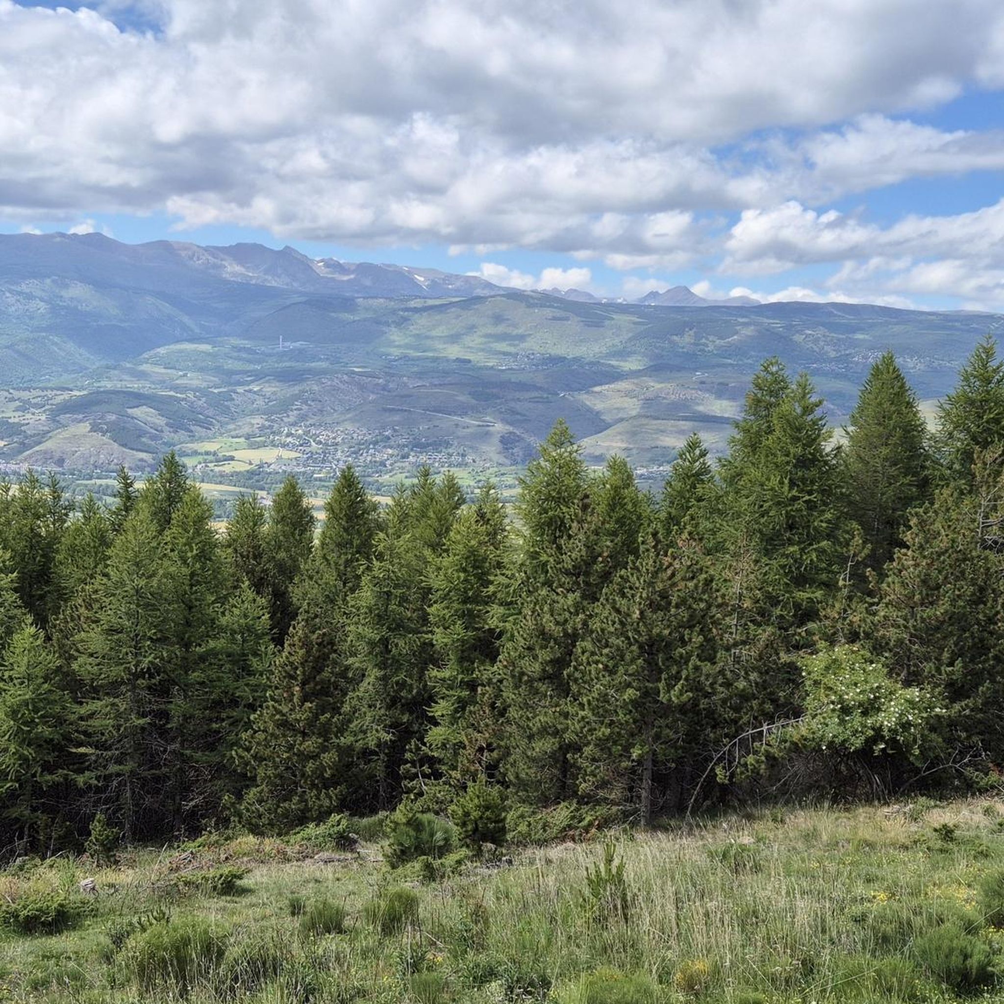
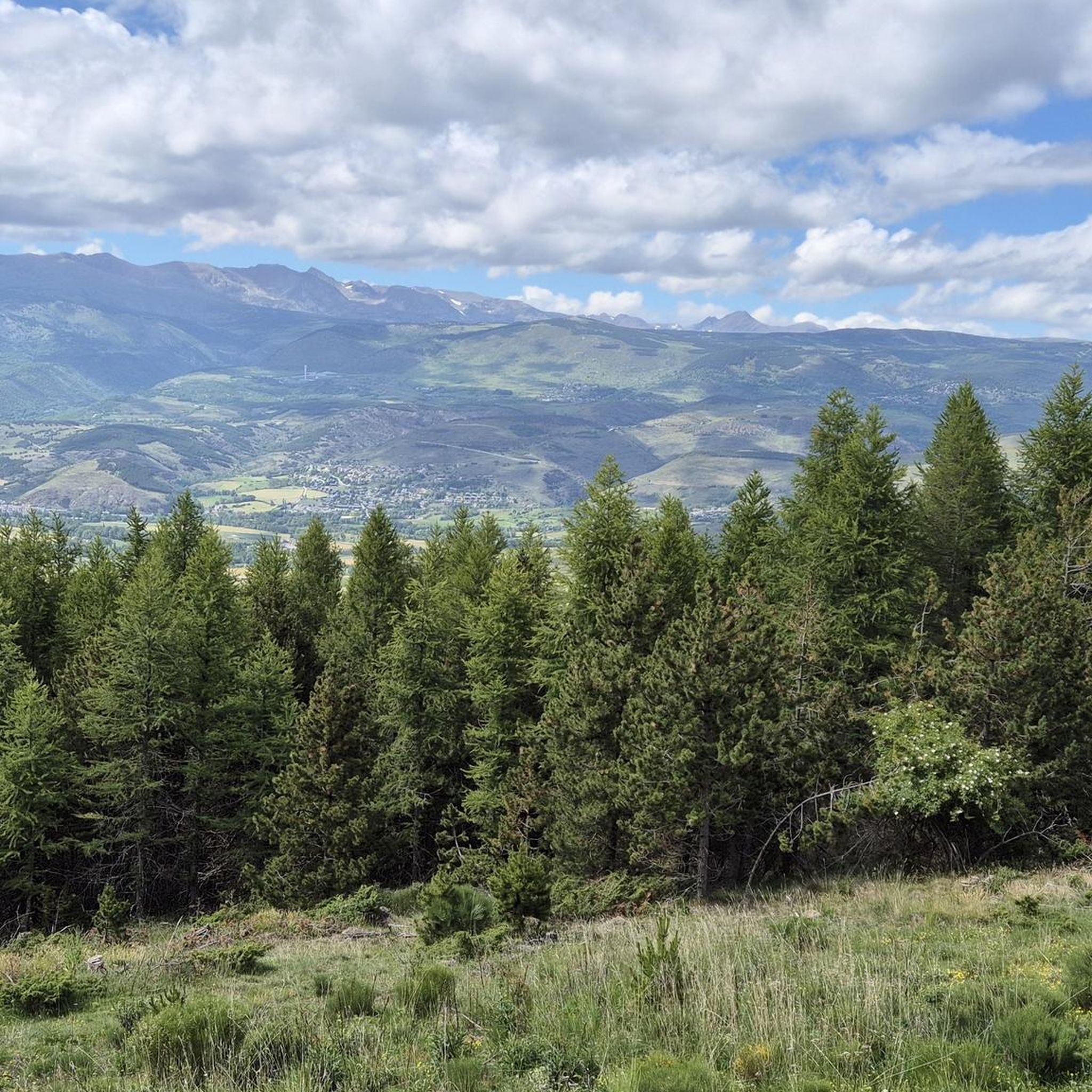
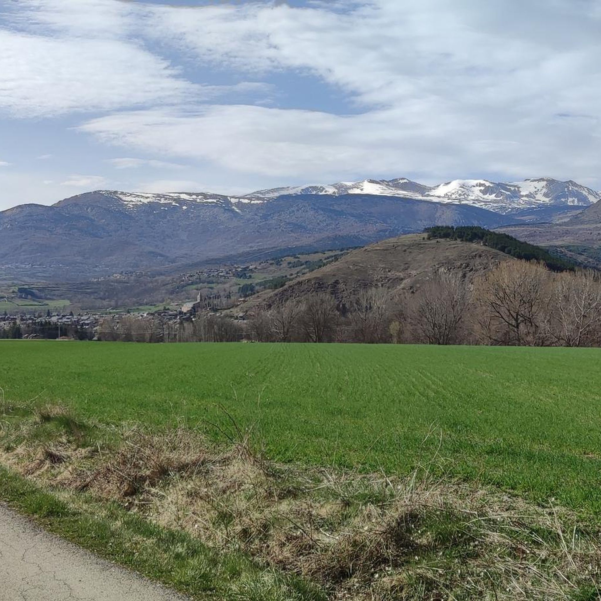
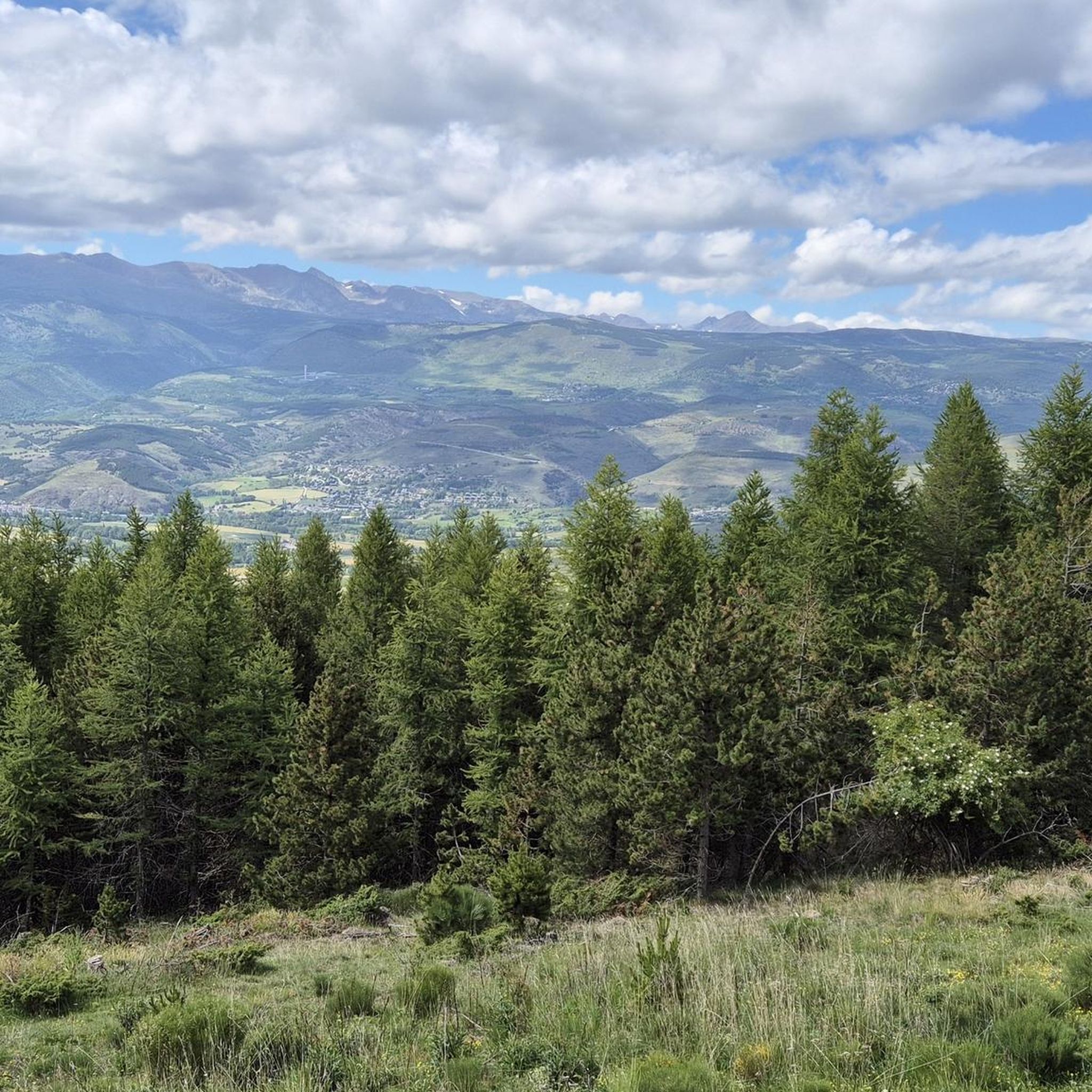
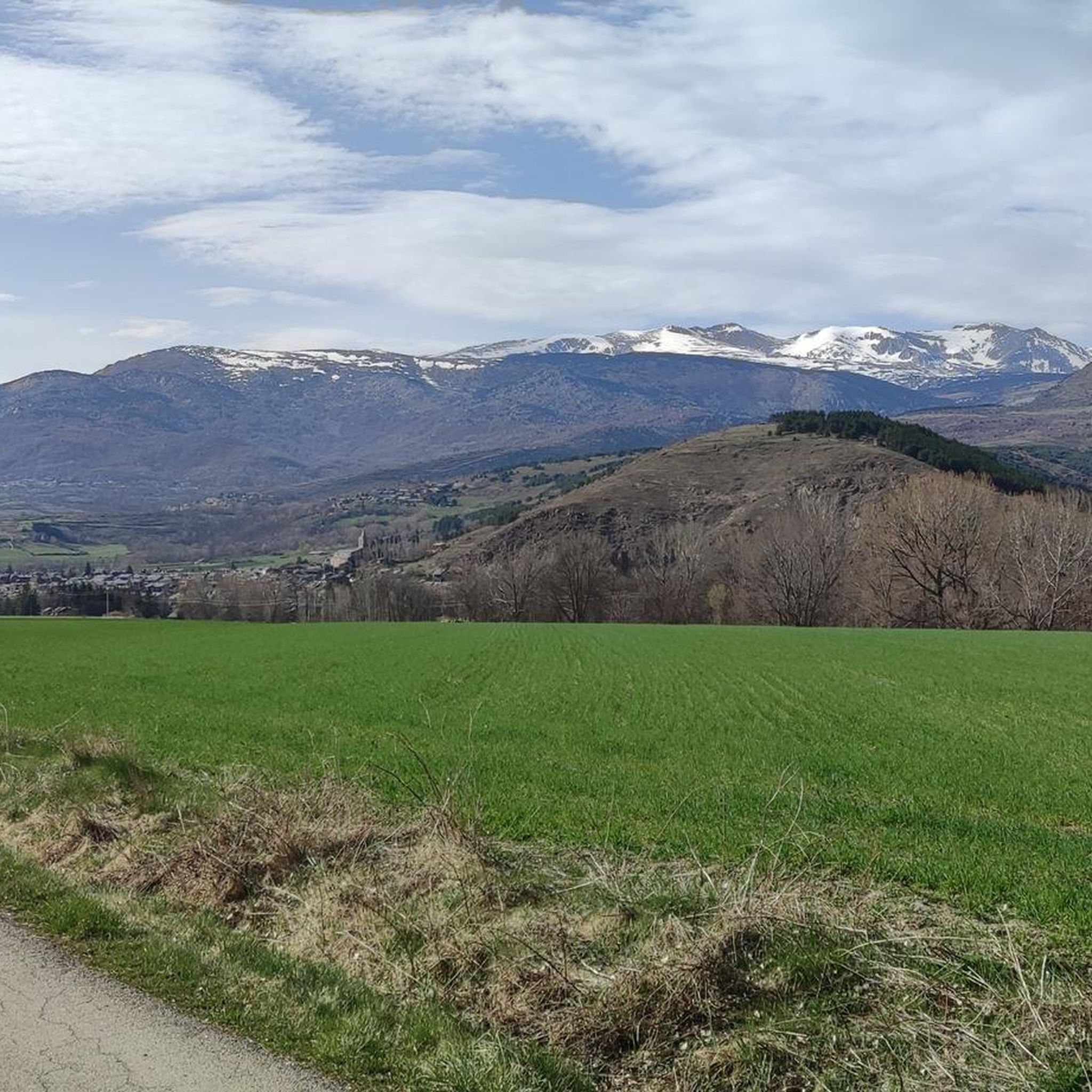
Mountaineering around Sainte-Léocadie offers challenging ascents and high-altitude experiences within the Pyrenees mountain range. The terrain is characterized by significant elevation gains, rocky paths, and open mountain landscapes leading to prominent summits. Routes often traverse alpine meadows and provide expansive views of the surrounding peaks. The area provides opportunities for demanding physical activity in a rugged natural environment.
Best mountaineering routes around Sainte-Léocadie
- The most popular mountaineering route is Puigmal loop from Refuge Pastoral des Planes, a 5.6 miles…
Last updated: July 1, 2026
5.0
(2)
19
hikers
8.98km
04:17
870m
870m
Hard mountaineering route. Good fitness required. Sure-footedness, sturdy shoes and alpine experience required.
5.0
(1)
9
hikers
11.5km
04:46
920m
920m
Hard mountaineering route. Very good fitness required. Easily-accessible paths. Suitable for all skill levels.

Sign up for free
5.0
(1)
6
hikers
19.2km
08:34
1,270m
1,270m
Hard mountaineering route. Very good fitness required. Sure-footedness, sturdy shoes and alpine experience required.
3.0
(1)
3
hikers
5.45km
01:34
140m
140m
Easy mountaineering route. Great for any fitness level. Easily-accessible paths. Suitable for all skill levels.
4
hikers
12.7km
03:35
270m
270m
Moderate mountaineering route. Good fitness required. Easily-accessible paths. Suitable for all skill levels.
Our route recommendations are based on thousands of hikes, rides, and runs completed by other people on komoot.
Start today with a free account
Your next adventure awaits.
Login or Signup

Tips from the Community

At the top but at the end the loop back on the left side at the level of the waterfall is not accessible in late spring because there is still too much snow, you will have to go through the other side.
0
0

the views and the pleasure of climbing almost to 3000 m
1
0

Where did you drive up there from and which gate did you take? Where did you drive up there from and which gate did you take? From where did you drive up there and which gate did you take?
0
1

Beautiful loop from the Eyne ski resort
0
0

At the crossroads of the snowshoe trails there is a table outside, very practical for sitting when the refuge is closed
0
0

There isn't really much of a view to enjoy here. The other mountains in the same category that can be hiked along the ridge are more impressive. But you are still "up there" here. Away from the hustle and bustle of the world, in silence. Only the wind blows over the peaks, kicks up a few dust devils, and in summer cools the sweat of the climb.
3
0

The Pic dels Moros culminates at 2,138 meters on the heights of Font-Romeu. Easy to access, it offers a remarkable panorama of the Pyrenees chain.
0
0

The Pic d'Eyne culminates at 2,789 meters above the Eyne Valley in France and the Nuria Valley in Spain.
1
0
Frequently Asked Questions
What kind of terrain can I expect on mountaineering routes around Sainte-Léocadie?
Mountaineering in Sainte-Léocadie involves significant elevation gains, rocky paths, and open mountain landscapes characteristic of the Pyrenees. You'll often traverse alpine meadows and encounter rugged natural environments leading to prominent summits.
Are there any easy mountaineering routes suitable for beginners in Sainte-Léocadie?
Yes, while many routes are challenging, there are options for less strenuous high-altitude trails. For example, the Dolmen de lo Pou – Dolmen d'Els Pascarets loop from Eyne is rated as easy, covering 5.45 km in about 1 hour 34 minutes.
What are some challenging mountaineering routes for experienced climbers?
Experienced mountaineers will find several demanding routes. The Cambre d'Aze Summit – Pic d'Eyne (2,789 m) loop from Eyne is a difficult 19.2 km trail, typically taking over 8 hours to complete, leading through high mountain passes and peaks. Another challenging option is the Puigmal loop from Cotzé, a 15.4 km difficult route.
Are there any circular mountaineering routes in the area?
Yes, several routes are designed as loops. The Puigmal loop from Refuge Pastoral des Planes is a popular difficult circular route to the Puigmal summit. Another excellent option is the Cambre d'Aze Summit loop from Eyne, which explores the high mountain terrain around the summit.
What kind of views can I expect on these mountaineering routes?
The routes offer expansive views of the surrounding Pyrenean peaks and alpine landscapes. Many trails lead to prominent summits like Puigmal and Cambre d'Aze, providing panoramic vistas. You might also encounter viewpoints such as the Núria Viewpoint.
What are the typical durations for mountaineering routes in Sainte-Léocadie?
Durations vary significantly based on difficulty and distance. Easy routes like the Dolmen de lo Pou – Dolmen d'Els Pascarets loop from Eyne can be completed in under 2 hours. More difficult and longer routes, such as the Cambre d'Aze Summit – Pic d'Eyne (2,789 m) loop from Eyne, can take over 8 hours.
What are some notable natural landmarks or attractions near the mountaineering trails?
The region is rich in natural landmarks. You can find prominent summits like Puigmal d'Er Summit and Pic de Finestrelles. There are also mountain passes such as Collada de Toses Pass and Pas dels Lladres (2,534 m), and even a cave, the Catau de l'Ós Cave.
How many mountaineering routes are available around Sainte-Léocadie?
There are several mountaineering routes available, with a total of 6 tours documented in the area. These include a mix of easy and difficult options to suit various experience levels.
What do other mountaineers say about the routes in Sainte-Léocadie?
The mountaineering routes around Sainte-Léocadie are highly rated by the komoot community, with an average score of 4.5 stars from 5 reviews. Over 40 mountaineers have explored the varied terrain, often praising the challenging ascents and expansive views.
Are there any unique man-made attractions or points of interest in the vicinity?
Beyond the natural beauty, you might find interesting man-made features. For instance, the Vall de Núria Rack Railway is a notable attraction in the wider region, offering a unique way to experience the mountain landscape.
Most popular routes around Sainte-Léocadie
Most popular attractions around Sainte-Léocadie

Get inspired with the komoot mobile app


Explore more
Browse the best Mountain Hikes & Routes in other regions.
