The best cycling routes around Sainte-Léocadie
4.2
(139)
6,184
riders
243
rides
Touring cycling routes around Sainte-Léocadie are situated within the Pyrénées-Orientales department, nestled in the Cerdagne region at an altitude of 1300 meters. The area is characterized by diverse Pyrenean landscapes, including majestic mountains, expansive plains, and rolling hills. It forms part of the Pyrénées Catalanes Regional Natural Park, offering varied terrain for cyclists.
Best touring cycling routes around Sainte-Léocadie
- The most popular touring cycling route is Saint-Julien Church in Estavar – Font-Romeu loop from Err, a 19.7 miles (31.6…
Last updated: July 12, 2026
37
riders
25.5km
02:10
680m
680m
Hard bike ride. Very good fitness required. Mostly paved surfaces. Suitable for all skill levels.
5.0
(3)
46
riders
34.2km
02:28
750m
750m
Hard bike ride. Very good fitness required. You may need to push your bike for some segments of this route.

Sign up for free
25
riders
22.3km
02:15
650m
650m
Hard bike ride. Very good fitness required. You may need to push your bike for some segments of this route.
9
riders
31.1km
02:53
880m
880m
Hard bike ride. Very good fitness required. Mostly paved surfaces. Suitable for all skill levels.
5
riders
11.1km
00:50
130m
130m
Easy bike ride. Great for any fitness level. Mostly paved surfaces. Suitable for all skill levels.
Get access to more routes and recommendations from other explorers.
Sign up for free
Already have an account?
Our route recommendations are based on thousands of hikes, rides, and runs completed by other people on komoot.
Start today with a free account
Your next adventure awaits.
Login or Signup


Tips from the Community


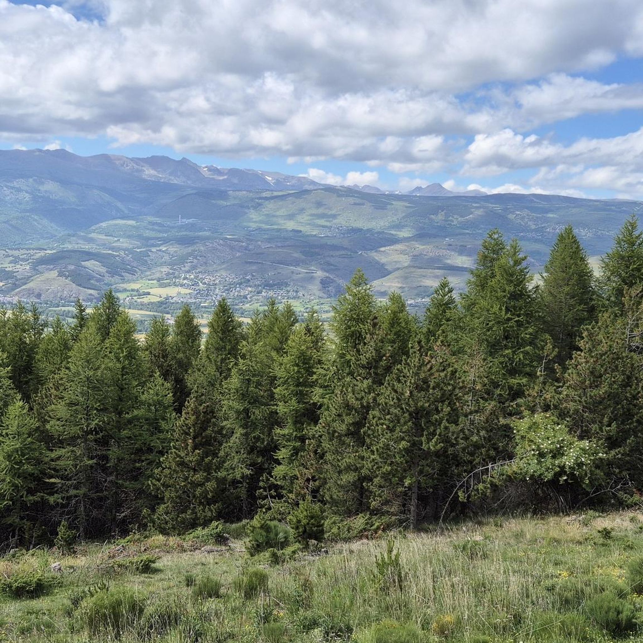
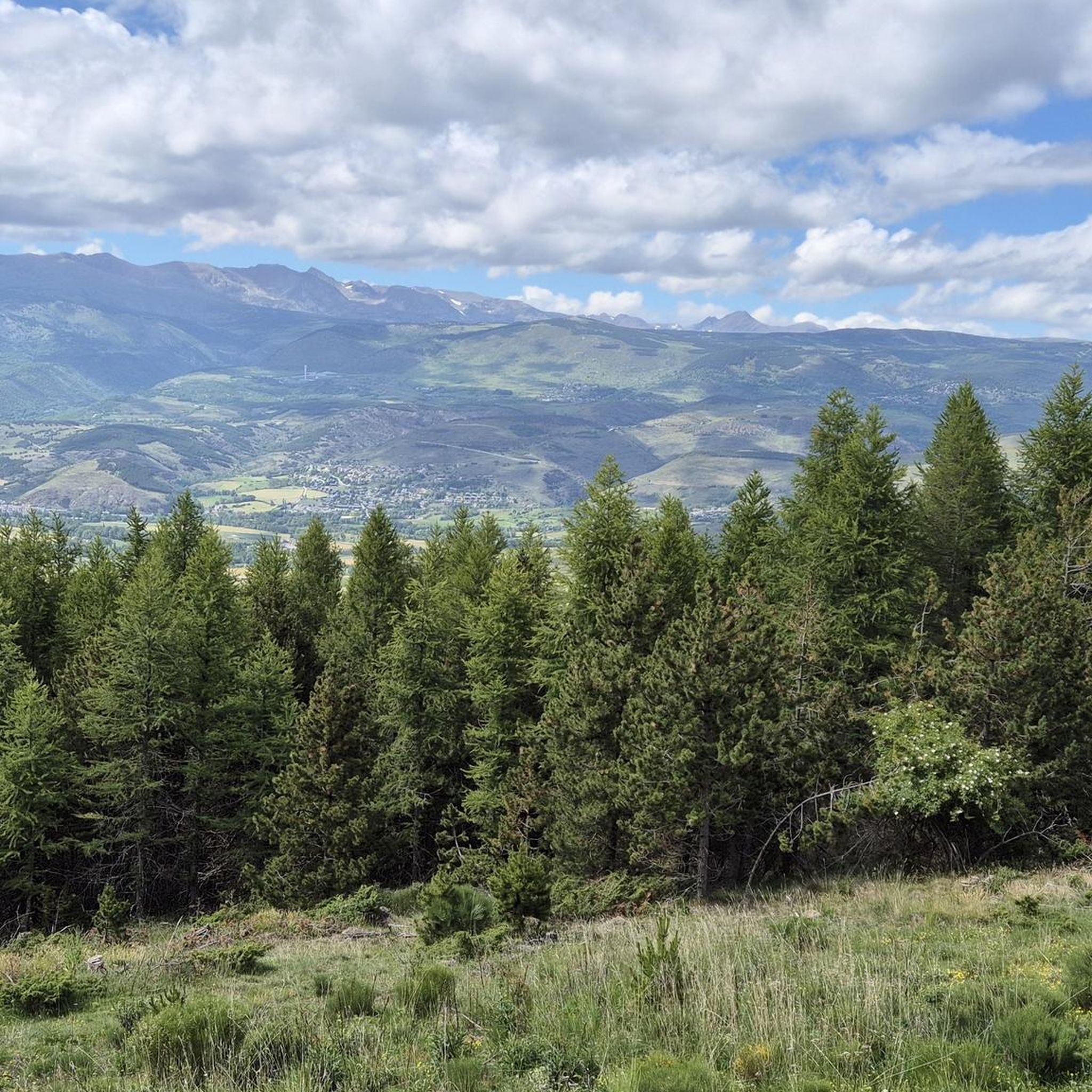
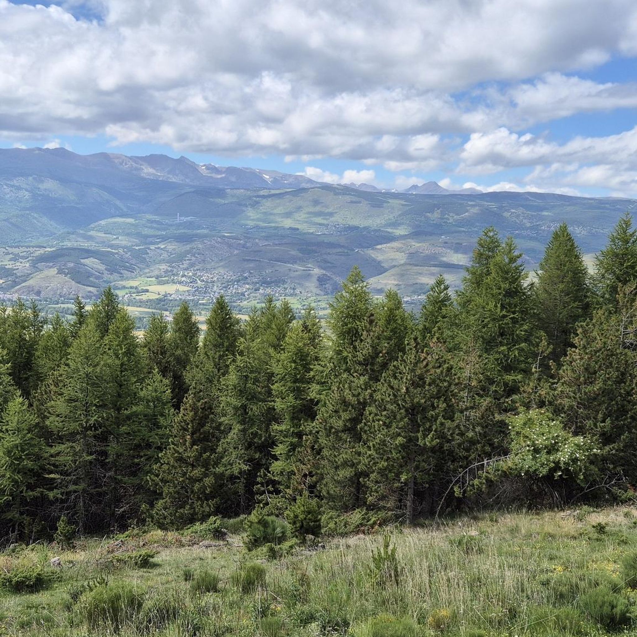
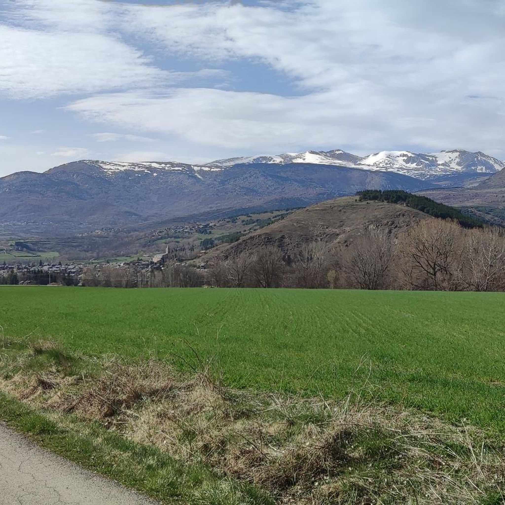
Located inconspicuously next to the road, a small Stations of the Cross lead to Mount Calvary. A magnificent view from the top.
0
0

Well, starting from Font Romeu and breaking legs from Mont Louis
0
0

A leisurely drive through the foothills of the Pyrenees, with the many spa towns of this region on the plateau in the background.
0
0

The Col de la Calvaire de Font Romeu is a mountain pass in French Cerdanya, next to the town and ski resort of Font Romeu. This port connects the Bolquère valley with the Cerdanya valley. The port is within the same town of Font Romeu, next to the station's ski lifts. There are many slopes to reach Col de la Calvaire: - the western slope that starts from Ur is approximately 16 km and crosses the town of Targasone and the Col d'Egat. It is a very steep climb along a road in perfect condition, although on holidays there is a lot of traffic. - The southern slope starts from Llívia and crosses Estavar and joins the previous one at the Col d'Egat. Unlike the first, the first section of the climb is very hard, with several horseshoe curves and with wonderful views of the entire Cerdanya and the Tosa d'Alp. - The eastern slope stops at Olette, and after approximately 28 km it reaches the top of the pass, passing through the town of Mont-Louis and Bolquère. It is a very steep climb, like the first, on a road in perfect condition but with a lot of traffic. I don't like going up here. - the eastern slope that starts from Olette and passes through the Col de la Perche, reaching the town of Font-Romeu and from there to the top. Of all the slopes, the one I like the most is the slope that starts from Llívia and crosses Estavar.
0
0
Very quiet town at the foot of the ski resort with the same name. From here to the station there are 3 km with an initial section at 10%. Crossing the town of Eyne is a very good alternative to the main road that goes from Col de la Perche to Sallagosa, both up and down.
0
0

Gigantic plant at Llo.
2
0
Frequently Asked Questions
How many touring cycling routes are available around Sainte-Léocadie?
There are over 230 touring cycling routes around Sainte-Léocadie, offering a wide range of options for different skill levels and preferences. This includes routes through diverse Pyrenean landscapes, from challenging mountain ascents to more moderate rides across plains and hills.
What kind of terrain can I expect on touring cycling routes near Sainte-Léocadie?
The terrain around Sainte-Léocadie is highly varied, characterized by majestic Pyrenean mountains, expansive high-altitude plains, and rolling hills. As part of the Regional Natural Park of the Catalan Pyrenees, you'll encounter diverse ecosystems, offering both demanding climbs and scenic, gentler paths.
What do other cyclists say about touring cycling in Sainte-Léocadie?
The touring cycling routes in Sainte-Léocadie are highly rated by the komoot community, with an average score of 4.4 stars from over 120 reviews. Cyclists frequently praise the stunning Pyrenean backdrops, the variety of terrain, and the opportunity to explore protected natural environments.
Are there challenging touring cycling routes for experienced riders?
Yes, Sainte-Léocadie offers numerous challenging routes for experienced touring cyclists. For instance, the Saint-Julien Church in Estavar – Font-Romeu loop from Err is a difficult 19.7-mile (31.6 km) trail with significant elevation gains. The region also provides access to demanding ascents like the climb towards Puigmal, which can involve a 17.50 km ascent with a 920-meter elevation gain.
Are there easier touring cycling options suitable for beginners or families?
Absolutely. While the region is known for its challenging climbs, there are also easier touring cycling options. For example, the Bike loop from Bourg-Madame is an easy 11.1-kilometer route with minimal elevation gain, perfect for a relaxed ride. The area offers a total of 31 easy routes, making it suitable for families or those seeking a less strenuous experience.
Can I find circular touring cycling routes in the area?
Yes, many of the touring cycling routes around Sainte-Léocadie are designed as loops, allowing you to start and finish in the same location. Examples include the moderate Gorges del Segré – Church and village of Llo loop from Err, which offers scenic views, and the more challenging Church and village of Llo – Eyne loop from Err, leading through varied Pyrenean terrain.
What natural landmarks or viewpoints can I discover along the cycling routes?
The region is rich in natural beauty. Along your rides, you might encounter majestic peaks like Puigmal d'Er Summit or enjoy panoramic views from Núria Viewpoint. Other notable features include Pic de Finestrelles and various mountain passes such as Collada de Toses Pass and Col de la Perche (1,579 m). Longer routes may also feature natural water bodies like Lac des Bouillouses.
Are there any historical or cultural sites to explore while cycling?
Beyond the natural landscapes, Sainte-Léocadie itself boasts historical charm, with old farms and a classified church reflecting its ancient history. The proximity to the Spanish border, including the Spanish enclave of Llivia, also opens up opportunities for cross-cultural cycling tours that often feature charming villages and historical architecture.
Is Sainte-Léocadie accessible by public transport for cyclists?
While specific public transport options for bikes can vary, Sainte-Léocadie is situated in a region with some transport links. It's advisable to check local bus or train schedules in the Pyrénées-Orientales department for services that accommodate bicycles, especially if planning to access routes further afield.
Where can I park my car when starting a cycling tour?
Parking options are generally available in and around Sainte-Léocadie and nearby villages like Err or Bourg-Madame, which serve as common starting points for many routes. Look for designated parking areas within these communities, especially near trailheads or village centers.
What is the best time of year for touring cycling in Sainte-Léocadie?
The best time for touring cycling in Sainte-Léocadie is typically from late spring through early autumn (May to October). During these months, the weather is generally favorable, with warmer temperatures and less chance of snow at higher altitudes, allowing for full enjoyment of the diverse Pyrenean landscapes.
Are there any routes that cross into Spain?
Yes, the proximity of Sainte-Léocadie to the Spanish border, including the Spanish enclave of Llivia, provides unique opportunities for cross-border cycling tours. These routes allow you to experience both French and Catalan territories, often with unforgettable mountain views and diverse cultural experiences.
Most popular routes around Sainte-Léocadie
Most popular attractions around Sainte-Léocadie

Get inspired with the komoot mobile app


Explore more
Browse the best Cycling routes in other regions.
