The best MTB trails around Villers-Saint-Frambourg
4.4
(226)
979
riders
156
rides
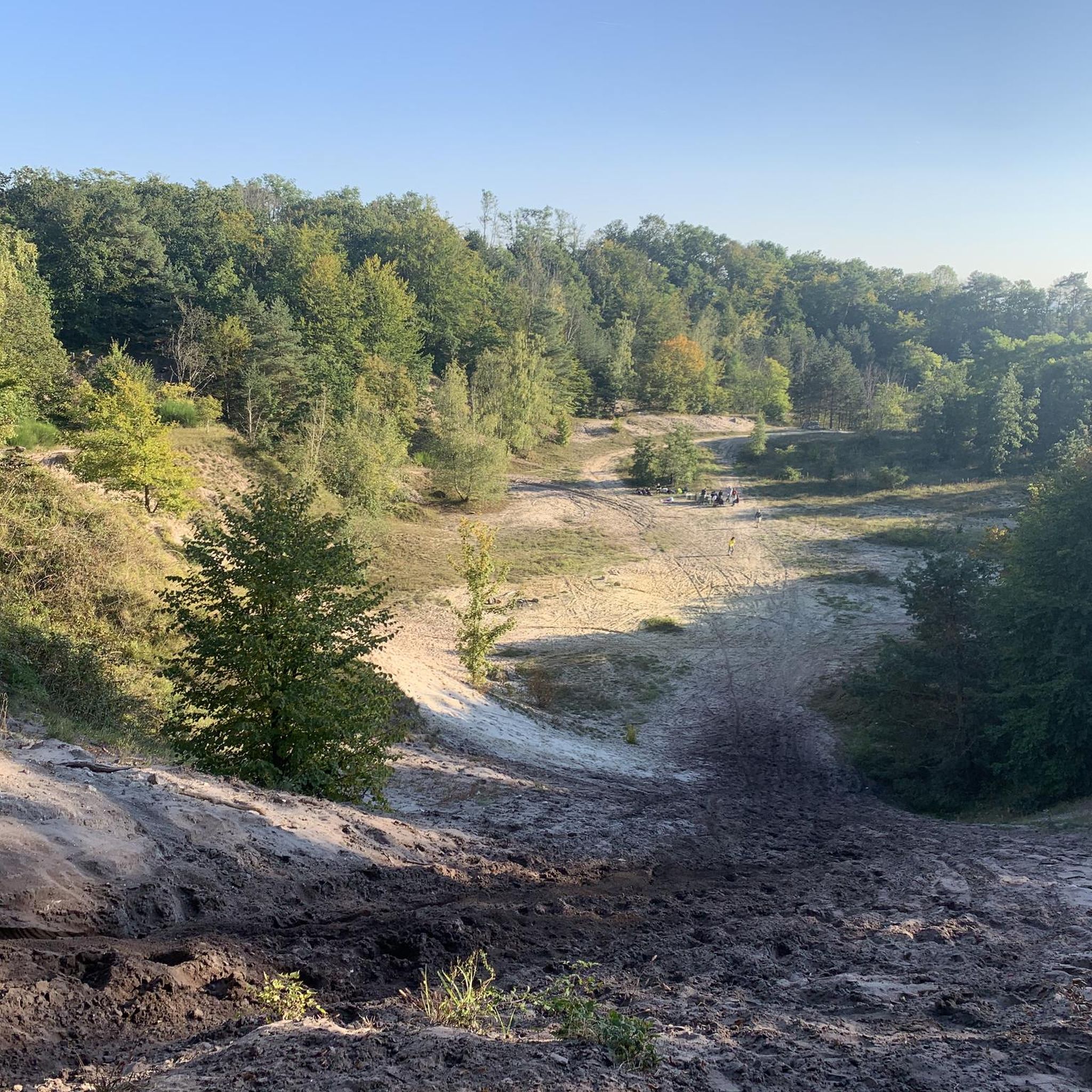
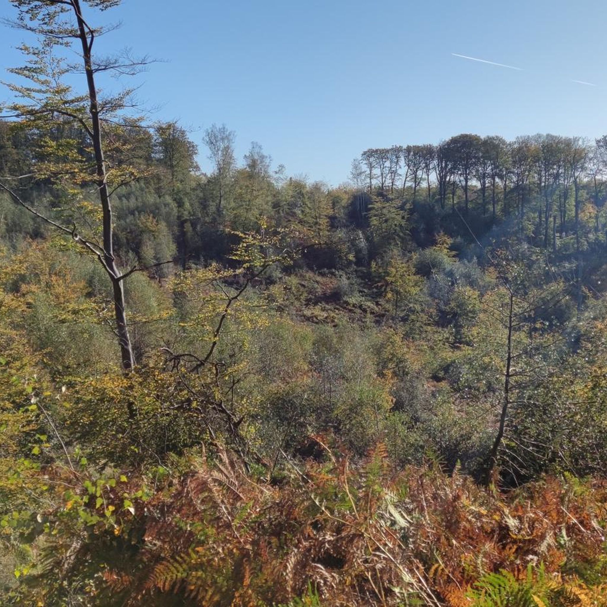
Mountain biking around Villers-Saint-Frambourg offers a diverse landscape characterized by rolling hills, dense woodlands, and open fields. The region features varied terrain, from gentle paths suitable for beginners to more challenging routes with significant elevation changes. Many trails lead to scenic viewpoints, providing expansive vistas over the surrounding countryside.
Best mountain bike trails around Villers-Saint-Frambourg
- The most popular mountain bike trail is King of Rome Obelisk – Mont Pagnotte viewpoint loop from Pontpoint, a 33.7 miles (54.2 km) trail…
Last updated: July 2, 2026
5.0
(3)
71
riders
56.7km
04:59
630m
630m
Moderate mountain bike ride. Good fitness required. Advanced riding skills necessary.
5.0
(3)
5
riders
18.7km
01:13
170m
170m
Moderate mountain bike ride. Great for any fitness level. Advanced riding skills necessary.

Sign up for free
4.7
(6)
12
riders
Easy mountain bike ride. Great for any fitness level. Suitable for all skill levels.
4.6
(12)
15
riders
37.1km
02:19
240m
240m
Moderate mountain bike ride. Good fitness required. Advanced riding skills necessary.
2
riders
18.9km
01:05
130m
130m
Easy mountain bike ride. Great for any fitness level. Suitable for all skill levels.
Get access to more routes and recommendations from other explorers.
Sign up for free
Already have an account?
Our route recommendations are based on thousands of hikes, rides, and runs completed by other people on komoot.
Start today with a free account
Your next adventure awaits.
Login or Signup
Tips from the Community

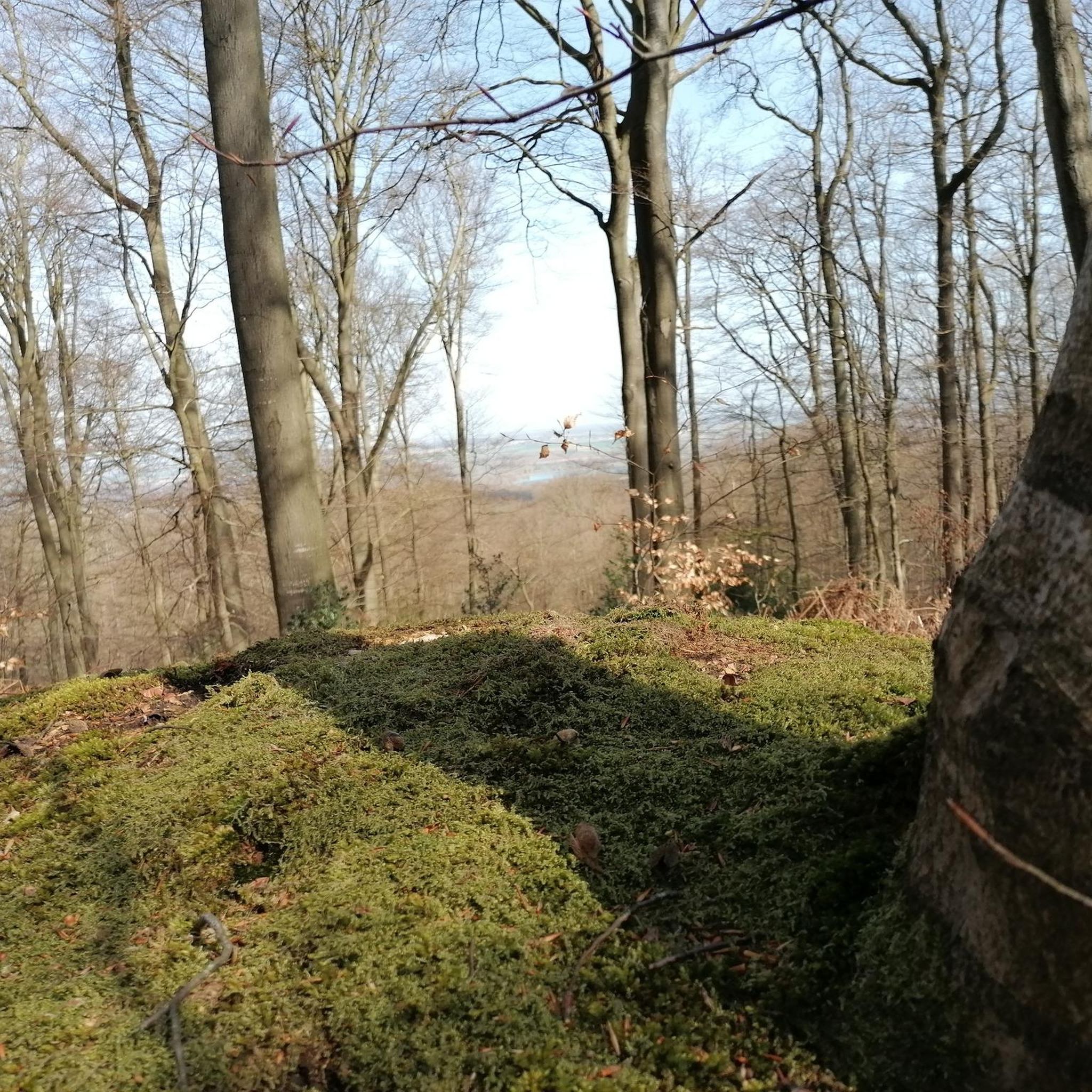
The orientation table that previously existed and the wooden terrace have been removed. The trees have grown, making the view non-existent. Before, on a clear day, it was possible to make out the Eiffel Tower.
1
0

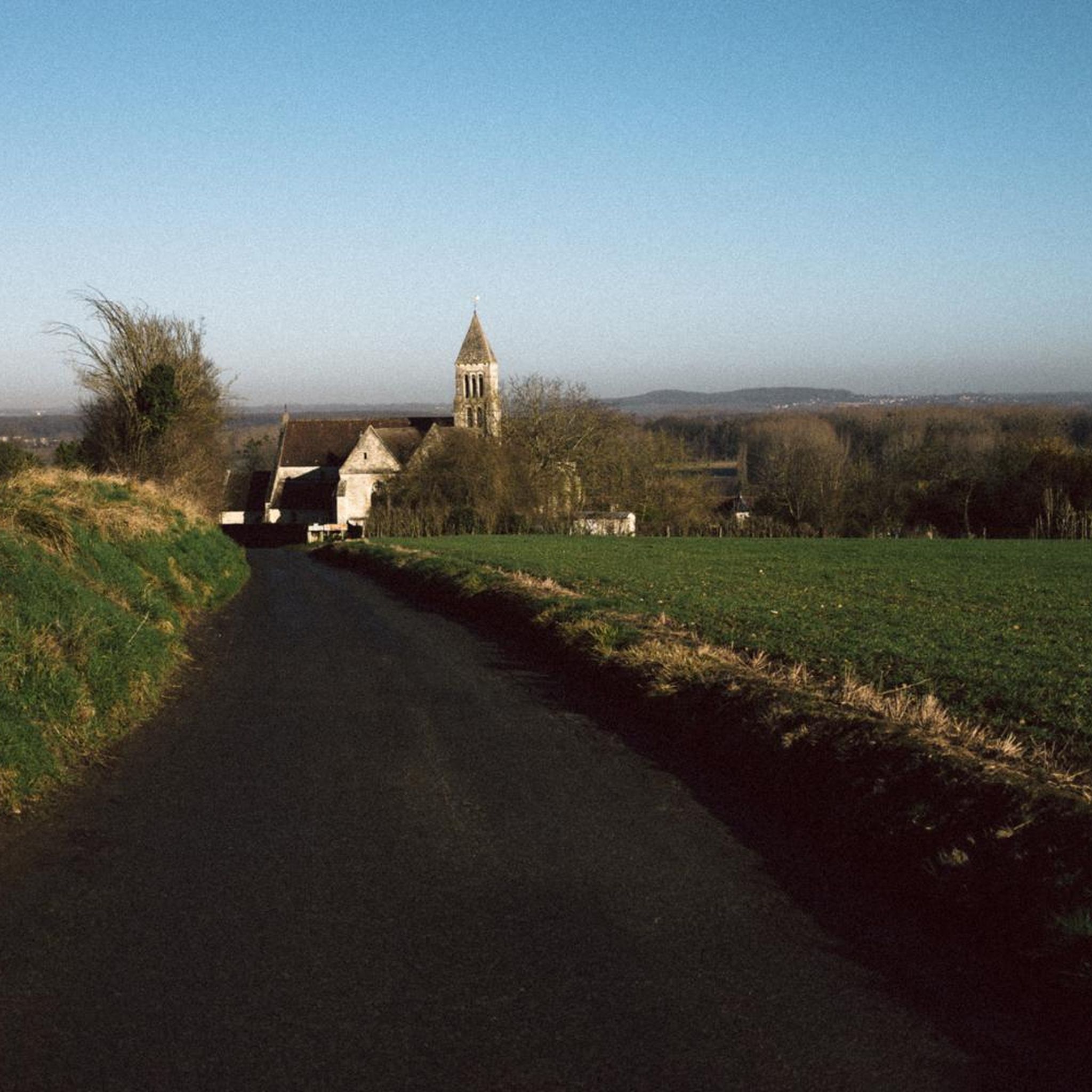
best view of the castle 🏰
0
0

best spots to take a break and admire the castle
0
0

Great tour, almost no big roads or big elevation changes, perfect for beginners
0
0


Frequently Asked Questions
How many mountain bike trails are available around Villers-Saint-Frambourg?
There are over 160 mountain bike trails in the Villers-Saint-Frambourg region, offering a wide variety of options for different skill levels and preferences.
Are there easy mountain bike trails suitable for beginners in Villers-Saint-Frambourg?
Yes, Villers-Saint-Frambourg offers 34 easy mountain bike trails. A good option for beginners is the Menhir in the Middle of a Field loop from Pontpoint, which is 13.4 miles (21.6 km) long with minimal elevation gain.
What kind of terrain can I expect on mountain bike trails in Villers-Saint-Frambourg?
The region is characterized by rolling hills, dense woodlands, and open fields. You'll find varied terrain, from gentle paths to more challenging routes with significant elevation changes, often leading through natural parkland and offering scenic views.
Are there any challenging mountain bike trails for experienced riders?
Yes, for experienced riders seeking a challenge, there are 10 difficult mountain bike trails in the area. These routes typically feature more significant elevation changes and technical sections.
Are there mountain bike trails that offer scenic viewpoints?
Many trails in the region lead to scenic viewpoints. The King of Rome Obelisk – Mont Pagnotte viewpoint loop from Pontpoint, for example, offers panoramic views from Mont Pagnotte viewpoint.
What is the best time of year for mountain biking in Villers-Saint-Frambourg?
The best time for mountain biking in Villers-Saint-Frambourg is generally from spring through autumn, when the weather is mild and the trails are dry. The dense woodlands provide good shade during warmer months, and the rolling hills are beautiful with autumn foliage.
Are there loop mountain bike trails available?
Yes, many mountain bike trails in Villers-Saint-Frambourg are loops, making them convenient for starting and ending at the same point. An example is the Senlis bus station – Bike Parc naturel loop from Fleurines, which is 11.8 miles (18.9 km) long.
What are some interesting landmarks or attractions I can see along the mountain bike trails?
Several trails pass by historical sites and natural landmarks. You might encounter the King of Rome Obelisk or the Royal Abbey of Moncel. The town of Senlis is also a notable nearby attraction.
What do other mountain bikers say about the trails in Villers-Saint-Frambourg?
The mountain bike trails in Villers-Saint-Frambourg are highly rated by the komoot community, with an average score of 4.3 stars from over 190 reviews. Many users praise the diverse landscape, well-maintained paths, and the variety of routes suitable for different skill levels.
Are there any mountain bike trails that pass through historical sites?
Yes, some routes incorporate historical elements. The Royal Abbey of Moncel – Mont Pagnotte viewpoint loop from Pontpoint, for instance, winds through varied terrain including historical sites like the Royal Abbey of Moncel.
How can I find less crowded mountain bike trails in the area?
To find less crowded trails, consider exploring some of the moderate or difficult routes, or those slightly further afield from the most popular starting points. Early mornings or weekdays are also good times to enjoy quieter paths.
What is the typical distance and elevation gain for mountain bike routes here?
Routes vary significantly. Easy trails like the Mountainbike loop from Fleurines are around 11.7 miles (18.9 km) with about 426 ft (130 m) of elevation gain. More challenging routes, such as the King of Rome Obelisk – Mont Pagnotte viewpoint loop from Pontpoint, can be over 33 miles (54 km) with more than 2,000 ft (600 m) of elevation gain.
Most popular routes around Villers-Saint-Frambourg
Most popular attractions around Villers-Saint-Frambourg

Get inspired with the komoot mobile app


Explore more
Browse the best MTB trails in other regions.
