The best walks and hikes around Villers-Saint-Frambourg
4.4
(71)
341
hikers
26
hikes
Hiking around Villers-Saint-Frambourg offers access to varied landscapes, primarily defined by the Forêt d'Halatte and Mont Pagnotte. The region features extensive woodlands with tall beech and oak trees, alongside cultivated clearings. Mont Pagnotte, the highest point in the Oise department at 220 meters, provides elevation changes and viewpoints. The terrain includes both paved forest roads and dirt tracks, suitable for different hiking abilities.
Best hiking trails around Villers-Saint-Frambourg
- The most popular hiking route is Le mont Pagnotte — loop from…
Last updated: July 2, 2026
4.1
(8)
25
hikers
Moderate hike. Good fitness required. Mostly accessible paths. Sure-footedness required.
4.5
(2)
19
hikers
Easy hike. Great for any fitness level. Easily-accessible paths. Suitable for all skill levels.

Sign up for free
4.7
(6)
17
hikers
Easy hike. Great for any fitness level. Easily-accessible paths. Suitable for all skill levels.
4.5
(2)
10
hikers
Moderate hike. Good fitness required. Easily-accessible paths. Suitable for all skill levels.
5.0
(1)
7
hikers
9.04km
02:27
130m
130m
Moderate hike. Good fitness required. Easily-accessible paths. Suitable for all skill levels.
Get access to more routes and recommendations from other explorers.
Sign up for free
Already have an account?
Our route recommendations are based on thousands of hikes, rides, and runs completed by other people on komoot.
Start today with a free account
Your next adventure awaits.
Login or Signup
Tips from the Community

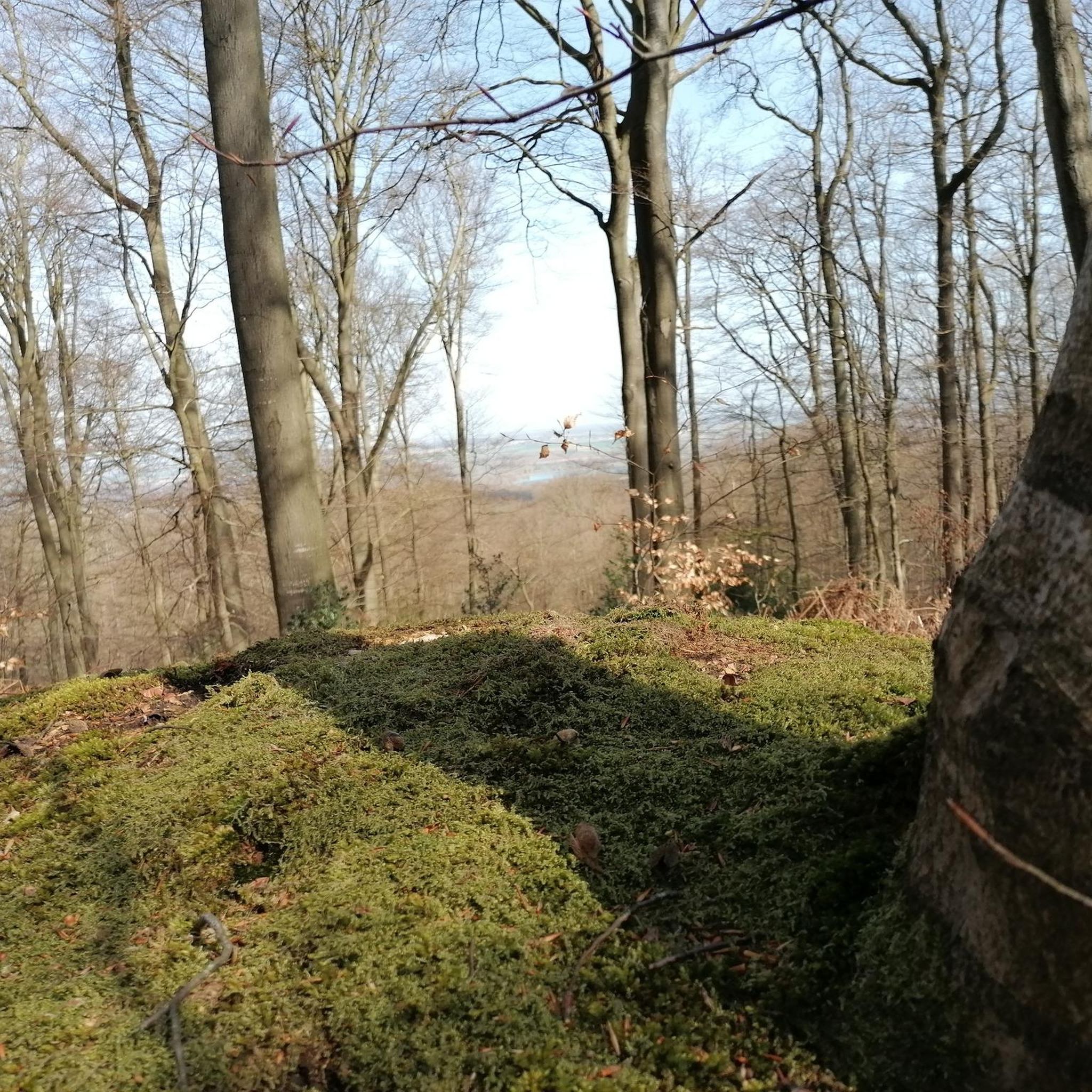
The orientation table that previously existed and the wooden terrace have been removed. The trees have grown, making the view non-existent. Before, on a clear day, it was possible to make out the Eiffel Tower.
1
0

Gallo-Roman site to see while enjoying the Halatte forest
1
0


This obelisk was built in 1811 to commemorate the birth of the son of Napoleon I and Marie-Louise of Austria, made king of Rome by his father to defy Pope Pius VII. Why here and by whom? We don't know anything about it. This tribute was perhaps paid to Napoleon for the relaunch of healthy management of the Halatte forest after a period of abandonment following the revolution of 1789. In any case, he met his future wife Marie-Louise d'Halatte. Austria, nearby, at the castle of Compiègne where he installed his son the king of Rome.
0
0
In the middle of the halate forest the last 500 meters no bitumen
0
0

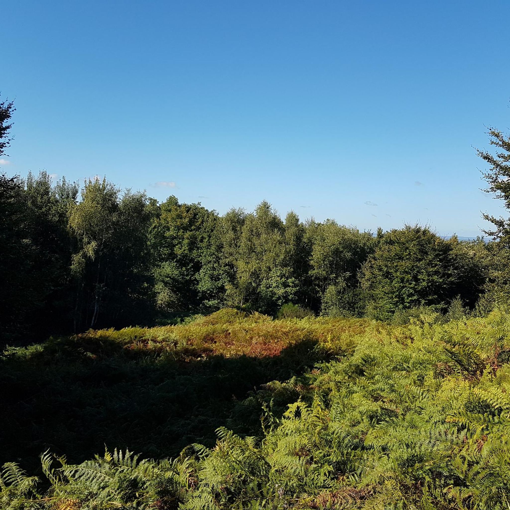
Mont Pagnotte is the highest point in Valois and one of the highest in the Paris region, with an altitude of 222 meters. It was also an ancient Celtic and Gallo-Roman colony, of which you can still see some ruins along the way. The trail passes through the magnificent Halatte forest, where you can appreciate the diversity of trees and wildlife. From the summit of Mont Pagnotte, you can admire a panoramic view of the forest and the surrounding countryside. It's the perfect place for a run to escape the city.
3
0
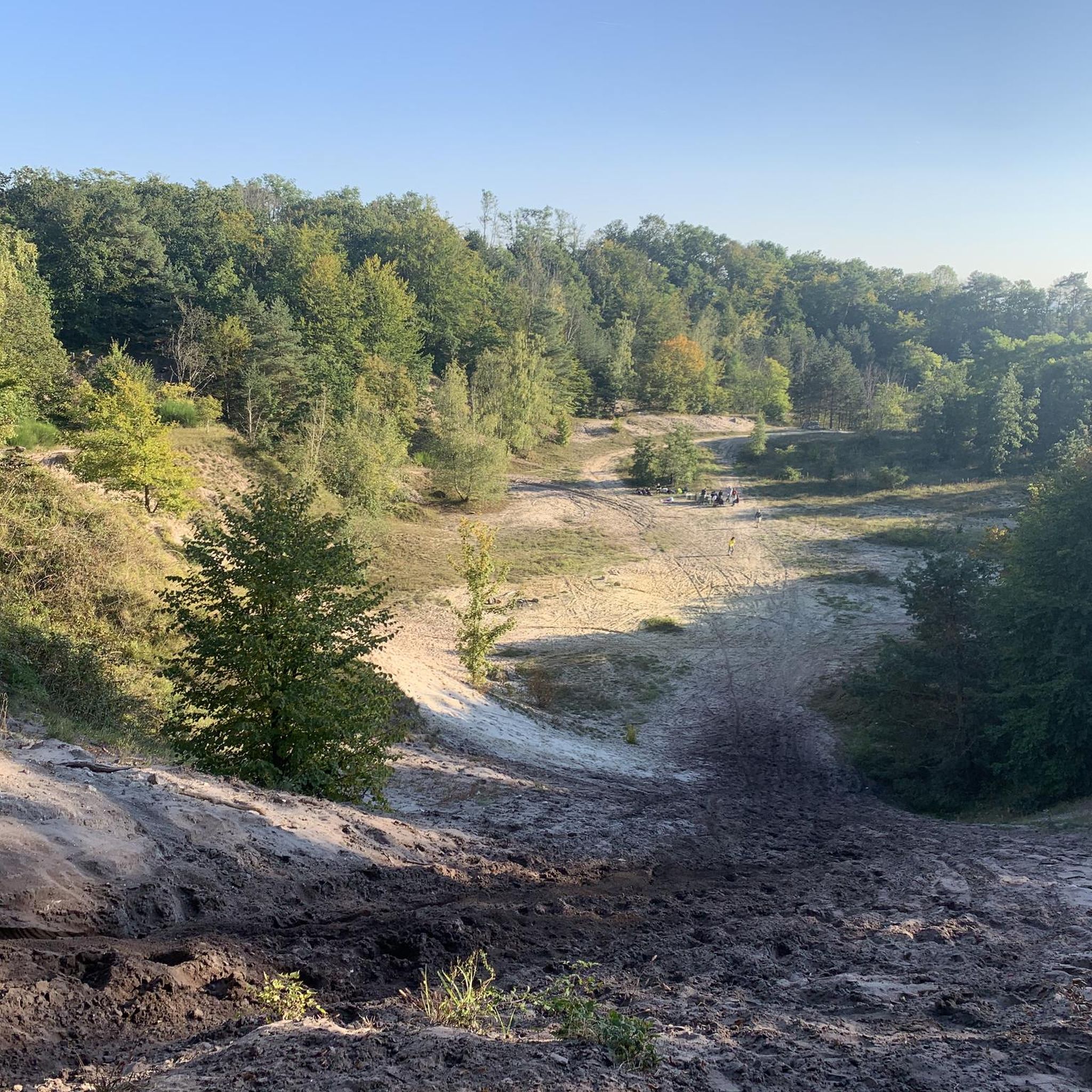
The remains of a Gallo-Roman temple dedicated to healing and built by a Gallic tribe, the Sulbanectes, in the middle of the 1st century AD. You can admire the ex-votos, coins, vases and fibulae discovered during excavations at the Senlis art and archeology museum. The temple is hidden in the bushes, so you have to follow a forest path to reach it. It is a unique and fascinating site that will take you back in time.
2
0
Mont Pagnotte is the highest point in Valois and one of the highest in the Paris region, with an altitude of 222 meters. It was also an ancient Celtic and Gallo-Roman colony, of which you can still see some ruins along the way. The trail takes you through the magnificent Halatte Forest, where you can appreciate the diversity of trees and wildlife. From the summit of Mont Pagnotte, you can admire a panoramic view of the forest and the surrounding countryside. This is an ideal hike for a family outing or to escape the city.
2
0
Frequently Asked Questions
How many hiking trails are available around Villers-Saint-Frambourg?
There are over 25 hiking trails around Villers-Saint-Frambourg, offering a variety of experiences. These include 18 easy routes and 9 moderate paths, ensuring options for different fitness levels.
What kind of terrain can I expect on hikes in Villers-Saint-Frambourg?
The terrain around Villers-Saint-Frambourg is primarily characterized by the Forêt d'Halatte, featuring extensive woodlands with tall beech and oak trees. You'll find a mix of paved forest roads and dirt tracks. Mont Pagnotte, the highest point in the Oise department, provides moderate ascents and descents, offering varied elevation changes.
Are there any family-friendly hiking options in Villers-Saint-Frambourg?
Yes, Villers-Saint-Frambourg offers several family-friendly hiking options, with 18 easy routes available. A good choice for families is the The mermaid's rock – King of Rome Obelisk loop from Carrefour du Grand Maître, which is 4.4 km long and can be completed in about 1 hour 9 minutes, leading through the scenic Forêt d'Halatte.
What are some notable landmarks or viewpoints to discover on the trails?
Hiking trails in the area often lead to interesting landmarks and offer scenic viewpoints. You can explore the Mont Pagnotte viewpoint for expansive views over the Forêt d'Halatte. Other points of interest include the King of Rome Obelisk and historical markers like the Croix Saint-Pierre and a Gallo-Roman archaeological site.
Are there any circular walks available in Villers-Saint-Frambourg?
Yes, many of the routes around Villers-Saint-Frambourg are circular, allowing you to start and end at the same point. A popular moderate circular route is Le mont Pagnotte — loop from Villers-Saint-Frambourg in the parc naturel régional Oise-Pays de France, which is 11.3 km long and ascends Mont Pagnotte.
What do other hikers enjoy most about hiking in Villers-Saint-Frambourg?
The hiking experiences in Villers-Saint-Frambourg are highly rated by the komoot community, with an average score of 4.3 stars from over 60 reviews. Hikers often praise the quiet woodlands of the Forêt d'Halatte, the varied terrain offered by Mont Pagnotte, and the well-maintained paths that allow for exploration of both natural beauty and historical curiosities.
Can I find longer, more challenging hikes in the region?
While there are no 'difficult' graded trails, you can find longer moderate hikes. For example, the Fontaine Saint Aubert – Boar engraved in stone loop from Villers-Saint-Frambourg-Ognon is a moderate 17.0 km path that explores the forest and its unique features, taking approximately 4 hours 39 minutes to complete.
What other attractions are nearby that I can visit after a hike?
Beyond the trails, you can explore several nearby attractions. Consider visiting the historic town of Senlis, the impressive Royal Abbey of Moncel, or the medieval Montépilloy Castle. These offer a glimpse into the region's rich history and culture.
Are there any easy routes for beginners or a quick stroll?
Absolutely. For beginners or those looking for a shorter, easier walk, the Mont Pagnotte viewpoint – Mont Pagnotte loop from Carrefour du Grand Maître is an excellent choice. This easy 7.1 km route offers views and can be completed in under 2 hours.
What is the best time of year to go hiking in Villers-Saint-Frambourg?
Villers-Saint-Frambourg offers pleasant hiking conditions throughout much of the year. Spring and autumn are particularly beautiful, with vibrant foliage and comfortable temperatures. The Forêt d'Halatte provides good shade during warmer summer months, while winter walks can be serene, especially after a fresh snowfall.
What kind of wildlife might I encounter on the trails?
The Forêt d'Halatte and nearby Forêt de Compiègne are home to diverse wildlife. Hikers might spot deer, roe deer, and wild boar. The forests also host a variety of bird species, making it a rewarding area for nature observation.
Are there any specific routes that focus on the Mont Pagnotte area?
Yes, Mont Pagnotte is a central feature for many hikes. Besides the main loop, you can explore routes like Mont Pagnotte viewpoint – Mont Pagnotte Viewpoint loop from Mont Pagnotte, a moderate 9.0 km trail that focuses on the mountain's features and viewpoints.
Most popular routes around Villers-Saint-Frambourg
Most popular attractions around Villers-Saint-Frambourg

Get inspired with the komoot mobile app


Explore more
Browse the best Hikes in other regions.
