The best running trails around Untervaz
4.5
(177)
7,682
runners
16
runs
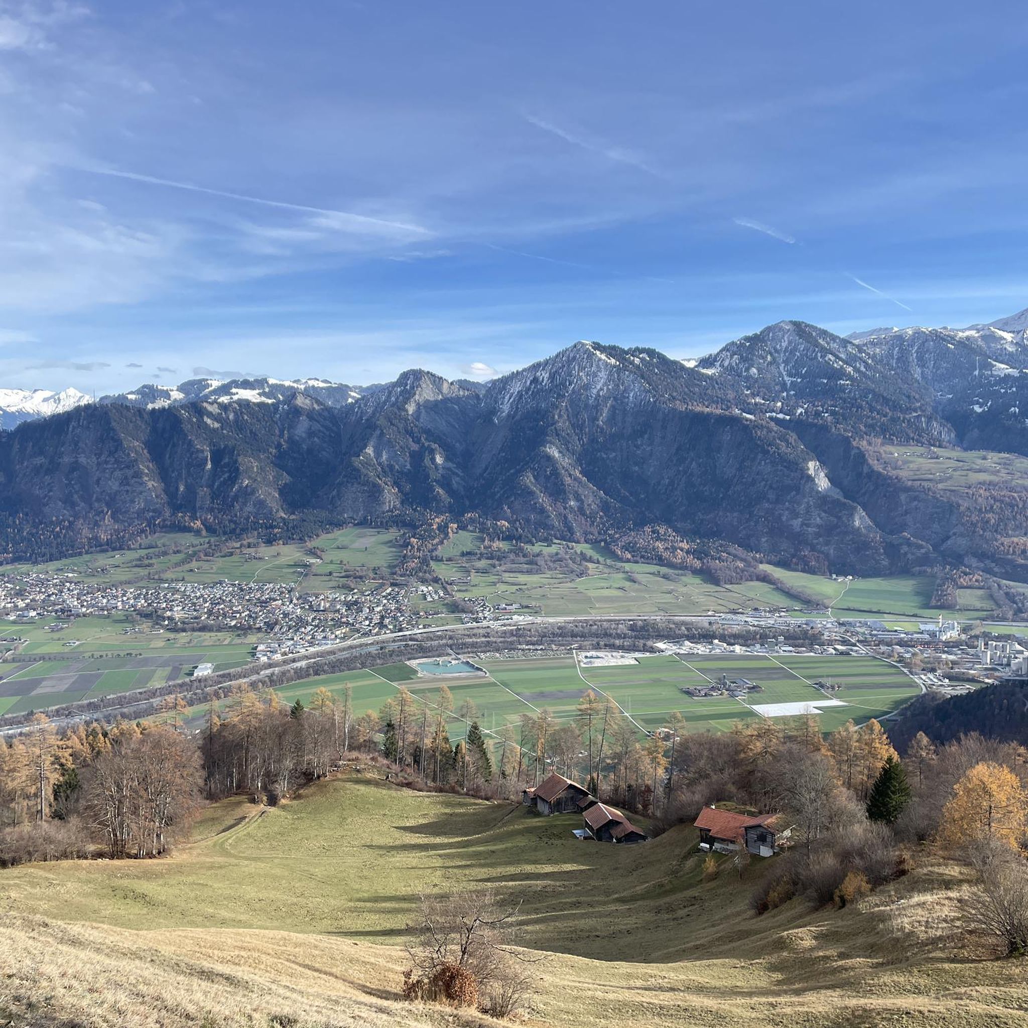
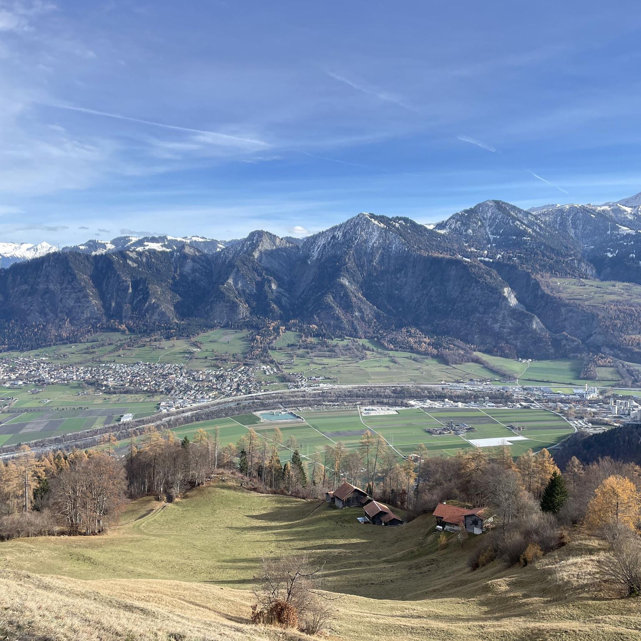
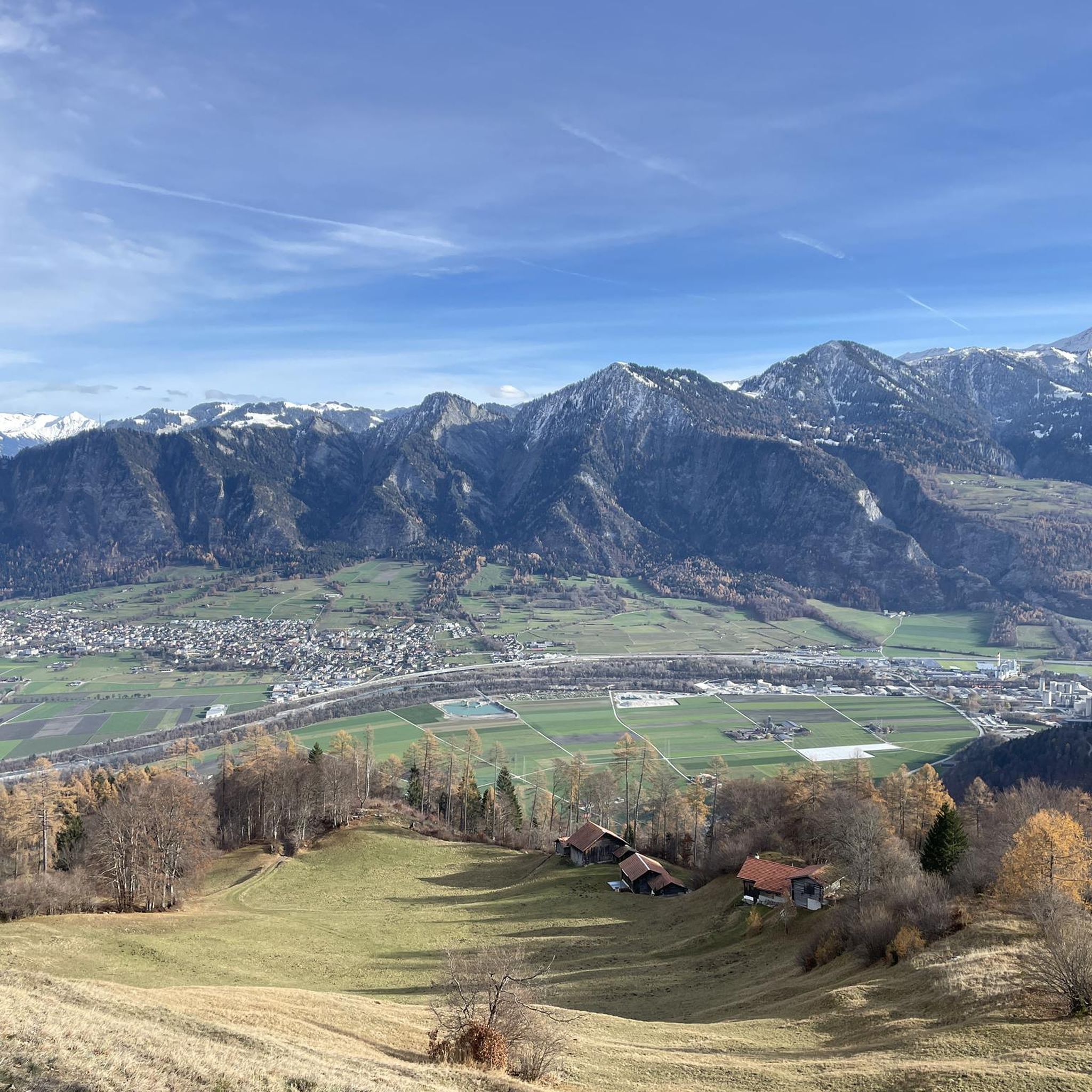
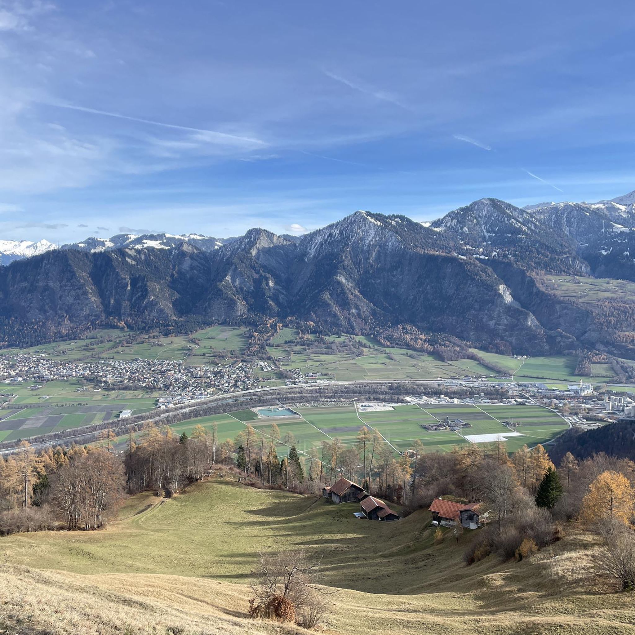
Jogging routes around Untervaz are set within the Graubünden Rhine Valley, at the base of the Calanda massif. The region features a diverse landscape, including mountains, valleys, and the expansive Rhine Valley. Running trails often lead through forests and meadows, providing views of the surrounding valleys and the distinct rock formations of the Rätikon.
Best jogging routes around Untervaz
- The most popular jogging route is View of the Rhine loop from Untervaz, a 4.6 miles (7.5 km) trail that…
Last updated: June 24, 2026
5.0
(1)
50
runners
7.46km
00:49
40m
40m
Moderate run. Good fitness required. Mostly paved surfaces. Suitable for all skill levels.
17
runners
12.2km
01:24
140m
140m
Moderate run. Good fitness required. Mostly paved surfaces. Suitable for all skill levels.

Sign up for free
12
runners
17.6km
02:11
580m
580m
Hard run. Very good fitness required. Mostly paved surfaces. Suitable for all skill levels.
5.0
(1)
13
runners
13.9km
01:41
470m
470m
Hard run. Very good fitness required. Mostly paved surfaces. Suitable for all skill levels.
13
runners
4.40km
00:29
20m
20m
Easy run. Great for any fitness level. Mostly paved surfaces. Suitable for all skill levels.
Get access to more routes and recommendations from other explorers.
Sign up for free
Already have an account?
Our route recommendations are based on thousands of hikes, rides, and runs completed by other people on komoot.
Start today with a free account
Your next adventure awaits.
Login or Signup

Tips from the Community


The castle garden is especially beautiful when the roses are in bloom 🌹
1
0

relatively new gravel pit lake
0
1

Very interesting castle with an exciting history. It's great that the ensemble in Haldenstein has survived to this day.
3
0
10 meters deep and 0.9 hectares in size: From the quarry lake to the bathing lake Trimmiser Rheinauen.
2
0

Situated on the foothills of the Calanda massif, this ruined castle offers a beautiful view of the Rhine Valley, in addition to being an interesting outing objective in itself. Reaching it requires a certain but accessible effort.
0
0

small bathing pond on the Rhine in Trimmis free, little shade
2
0

The castle 🏰 is still wonderfully preserved, it's worth taking a look at it! I thought the garden was very beautiful! The castle can be seen from afar and is also a great photo opportunity 👍📸
2
0
Frequently Asked Questions
How many running routes can I find around Untervaz?
Untervaz offers a diverse selection of 16 running routes, catering to various preferences and fitness levels. These trails wind through the Graubünden Rhine Valley, at the base of the majestic Calanda massif.
Are there running routes for all fitness levels in Untervaz?
Yes, the region provides a good mix of running challenges. You'll find 3 easy routes perfect for a gentle jog, 8 moderate routes for a more sustained effort, and 5 difficult routes for experienced runners seeking a challenge with significant elevation gains.
What kind of scenic views or landmarks can I expect on running routes near Untervaz?
Running in Untervaz offers continuous scenic views of the surrounding valleys, the impressive Calanda Massif, and the distinct rock formations of the Rätikon. You can also pass by historical landmarks such as the ruins of three castles—Neuburg, Rappenstein, and Friewis. For natural beauty, consider routes that offer glimpses of nearby lakes like Wildseeluggen or Schwarzsee (Pizol), or even waterfalls like Waterfall Sarellistrasse.
Are there any circular running routes in Untervaz?
Yes, many of the running routes around Untervaz are designed as loops, allowing you to start and finish in the same location. For example, the popular View of the Rhine loop from Untervaz offers scenic views across the Rhine Valley on a circular path.
What do other runners enjoy the most about jogging in Untervaz?
The running routes in Untervaz are highly rated by the komoot community, with an average score of 4.4 stars from over 140 reviews. Runners often praise the diverse terrain, the stunning views of the Rhine Valley and mountains, and the variety of trails that cater to different abilities, from easy paths through forests and meadows to more challenging ascents.
Are there family-friendly running trails in Untervaz?
Yes, there are several easier routes suitable for families looking for a gentle run or walk. These trails often lead through local countryside, forests, and meadows, providing a pleasant experience for all ages. The Running loop from Untervaz is an easy option that leads through the local countryside.
Can I bring my dog on the running trails in Untervaz?
Generally, dogs are welcome on most trails in the Untervaz region, especially on the less technical paths through forests and meadows. However, it's always advisable to keep your dog on a leash, particularly in nature reserves or areas with livestock, and to check local regulations for specific routes.
Where can I find parking for running trails in Untervaz?
Parking is generally available in and around the village of Untervaz, often near trailheads or public areas. Specific parking information for individual routes can usually be found on the komoot tour pages, helping you plan your starting point efficiently.
What is the best time of year for running in Untervaz?
The spring, summer, and autumn months generally offer the most pleasant conditions for running in Untervaz, with mild temperatures and vibrant landscapes. While winter running is possible, be prepared for colder temperatures and potentially snowy or icy conditions, especially on higher elevation trails.
Are there any longer, more challenging running routes for experienced runners?
Absolutely. For those seeking a greater challenge, routes like the Landquart Station – Schlössli loop from Untervaz offer a difficult 12.8-mile (20.5 km) path with significant elevation changes, providing a rewarding experience for seasoned runners.
Can I access running routes in Untervaz using public transport?
Untervaz is well-connected by public transport, making it accessible for runners. The village has a train station, and bus services operate in the region. You can often start your run directly from the village center or a short walk from a public transport stop, allowing for car-free exploration of the trails.
Are there any permits required for trail running in the Swiss Alps near Untervaz?
For general trail running on marked paths around Untervaz and in the immediate Graubünden Rhine Valley, permits are typically not required. However, if you plan to venture into specific protected areas or higher alpine regions, it's always wise to check local regulations or park rules beforehand, though this is rarely an issue for standard running trails.
What is the terrain like on the running routes in Untervaz?
The terrain varies significantly, offering a diverse running experience. You'll find paths through flat sections of the Rhine Valley, trails winding through forests and meadows, and more challenging ascents into the foothills of the Calanda massif. Surfaces can range from paved paths to gravel tracks and natural dirt trails.
Most popular routes around Untervaz
Most popular attractions around Untervaz

Get inspired with the komoot mobile app


Explore more
Browse the best Running Trails & Routes in other regions.
