The best mountain hikes around Untervaz
5.0
(5)
105
hikers
5
hikes
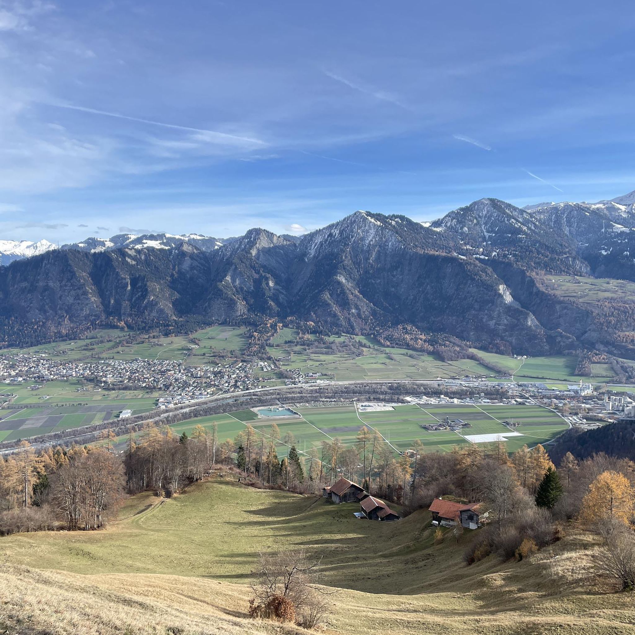
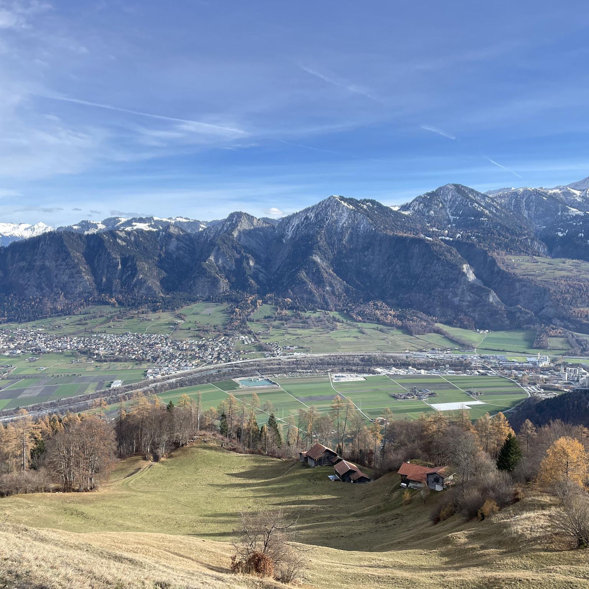
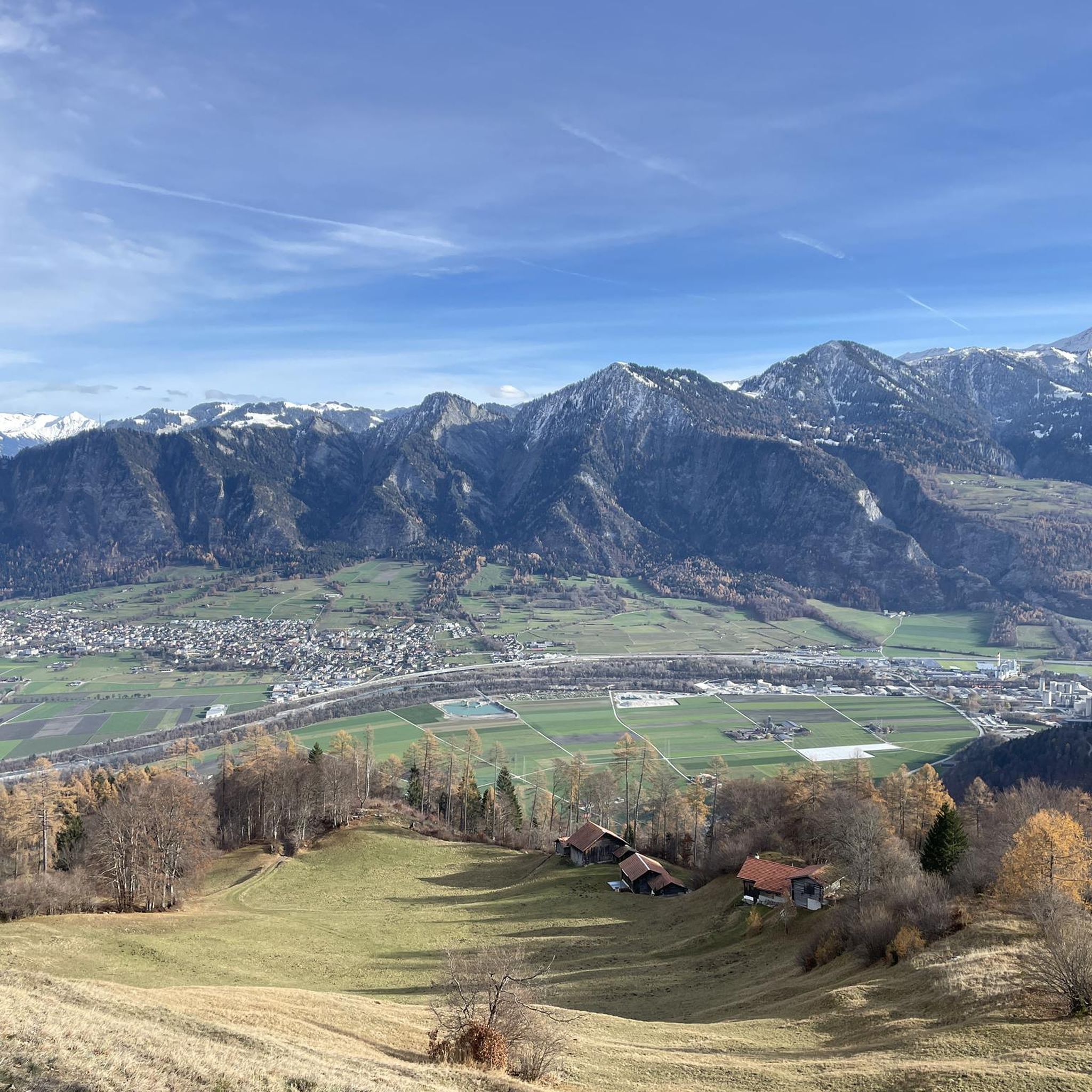
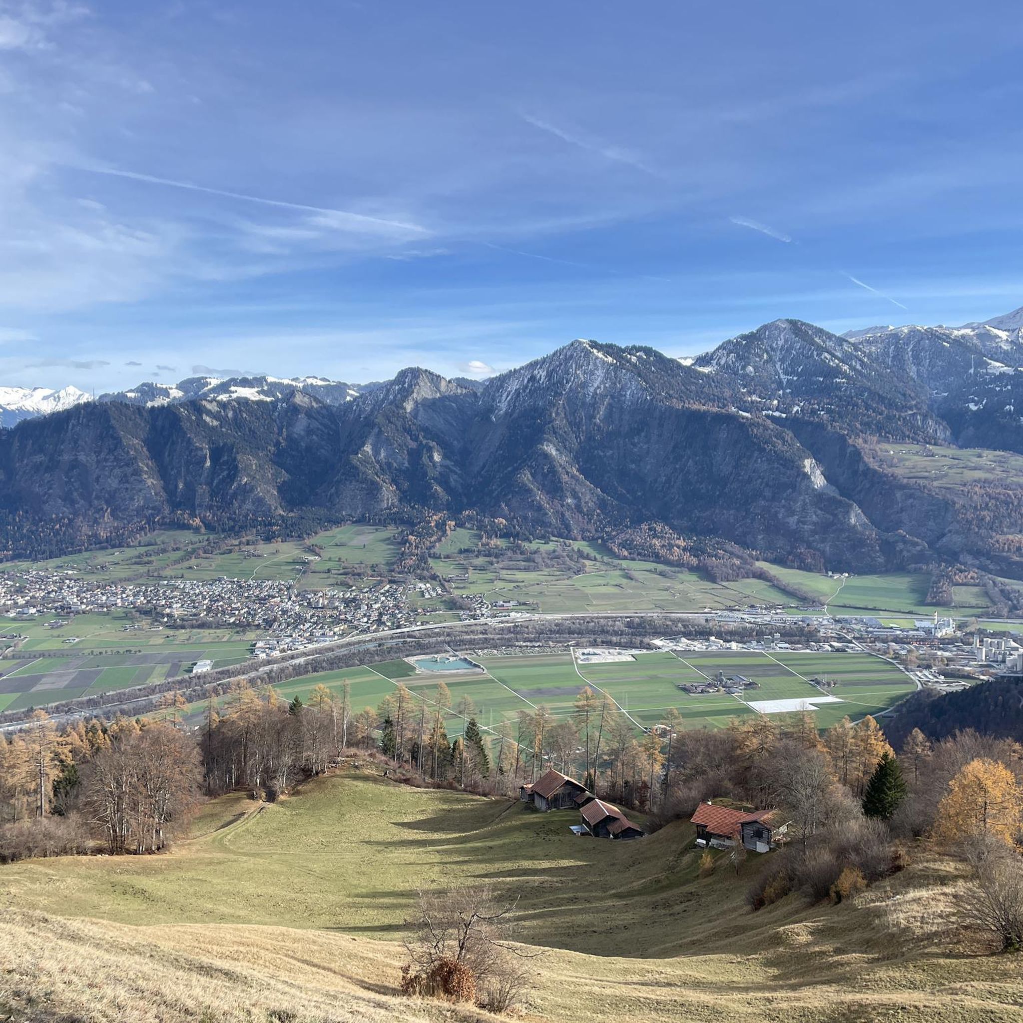
Mountaineering routes around Untervaz offer challenging ascents and panoramic views within the Grisons Alps. The region is characterized by rugged mountain peaks, alpine lakes, and high-altitude trails. These routes often traverse exposed ridges and steep slopes, providing a true alpine experience. The landscape is defined by its dramatic elevation changes and pristine natural environment.
Best mountaineering routes around Untervaz
- The most popular mountaineering route is Wildsee – Schotten Lake loop from Pizolhütte, a 7.6 miles (12.2 km) trail that…
Last updated: October 10, 2026
5.0
(3)
31
hikers
11.3km
05:39
710m
710m
Hard mountaineering route. Very good fitness required. Sure-footedness, sturdy shoes and alpine experience required.
25
hikers
12.9km
06:56
1,020m
1,020m
Hard mountaineering route. Very good fitness required. Sure-footedness, sturdy shoes and alpine experience required.

8
hikers
5.41km
03:04
540m
540m
Hard mountaineering route. Good fitness required. Sure-footedness, sturdy shoes and alpine experience required.
10
hikers
18.6km
07:52
1,070m
1,070m
Hard mountaineering route. Very good fitness required. Mostly accessible paths. Sure-footedness required.
2
hikers
13.9km
04:40
670m
670m
Moderate mountaineering route. Good fitness required. Easily-accessible paths. Suitable for all skill levels.
Our route recommendations are based on thousands of hikes, rides, and runs completed by other people on komoot.
Start today with a free account
Your next adventure awaits.
Tips from the Community


The summit lies on the border between Liechtenstein and Switzerland, between the Graubünden municipality of Fläsch and the Liechtenstein municipality of Triesen. It is accessible via a hiking trail and lies at 2,560 m above sea level. The view from Falknis extends northward beyond Lake Constance. Source: Falknis - Wikipedia https://share.google/8XutRhc1mPOcqfBan A breathtaking 360° view awaits you on Falknis.
6
0
Great view of the Pizol summit!
0
0

The first lake on the 5-lake hike is not even signposted from the Pizolhütte, but it is worth a visit.
0
0

Pizolhütte at 2,222 m above sea level. The cozy Pizolhütte is located at 2,222 m above sea level and impresses with its wonderful view of the mountain panorama. The Pizolhütte is located on the high plateau of the Pizol ski and hiking area, on the Pizol Panorama Höhenweg, in the immediate vicinity of the Wangsersee and at the starting point of the famous 5-lake hike. Located directly at the mountain station of the chairlift of the same name, the hut is also the ideal starting point for fast ski runs. The Pizolhütte team will spoil you both inside and outside on the beautiful terrace with food and drink in new and well-known variations. Text / Source: Pizolbahnen AG, Loisstrasse 50, 7310 Bad Ragaz https://pizol.com/gastrobetriebe/pizolhuette/
4
1
Pizolhütte is located at 2,222 m above sea level. The cozy Pizolhütte is located at 2,222 m above sea level and impresses with its wonderful view of the mountain panorama. The Pizolhütte is located on the high plateau of the Pizol ski and hiking area, on the Pizol Panorama Höhenweg, in the immediate vicinity of Wangsersee and at the starting point of the famous 5-lake hike. Located directly at the mountain station of the chairlift of the same name, the hut is also the ideal starting point for fast ski runs. The Pizolhütte team will spoil you both inside and outside on the beautiful terrace with food and drink in new and well-known variations. Text / Source: Heidiland Tourism https://outdoor.heidiland.com/de/gastro/heidiland/bergrestaurant-pizolhuette/55301474/?utm_medium=referral&utm_source=embed&utm_campaign=embed-plugin-referral&utm_term=https%3A%2F%2Fpizol.com%2F
14
0

A very popular ski tour summit, although most people only go as far as the saddle. The ascent to the summit sometimes requires crampons and an ice axe, especially when the safety ropes are still covered in snow. When there is good snow to walk on, like today, you can do without. However, the path is exposed. Great view from the summit cross.
0
0

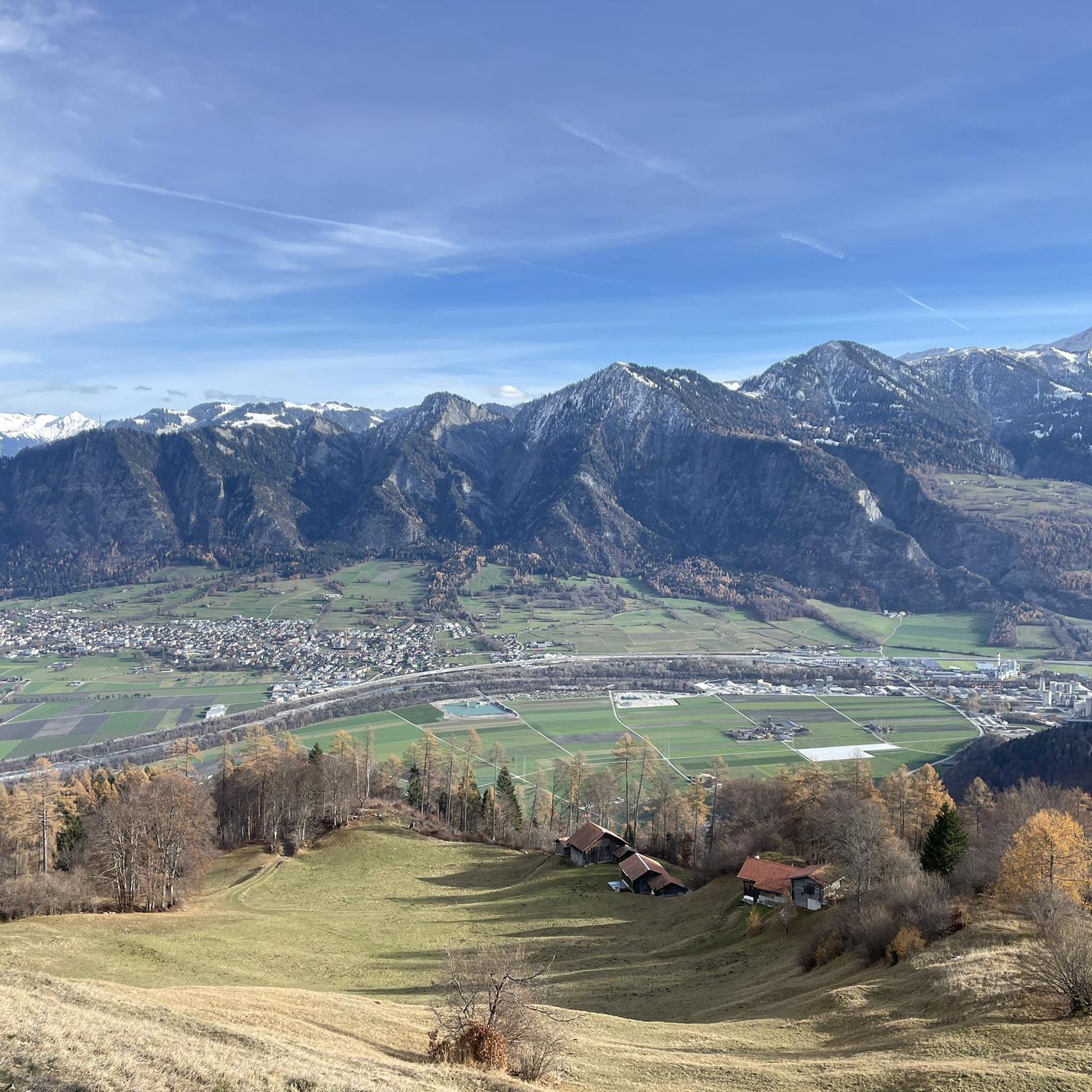
Great panoramic view of the Rhine Valley and the surrounding mountains. Definitely worth a visit 😉.
1
0
Frequently Asked Questions
How many mountaineering routes can I explore around Untervaz?
There are 7 mountaineering routes around Untervaz, offering a range of challenging ascents and panoramic views within the Grisons Alps.
Are there any mountaineering routes suitable for beginners or families in Untervaz?
While mountaineering routes around Untervaz are generally challenging, there are 3 moderate routes that might be more accessible for those with some experience. For example, the Messhaldaspitz – Vilan loop from Vilan is a moderate option that still provides a rewarding alpine experience.
What are some of the more challenging mountaineering routes in Untervaz?
For experienced mountaineers seeking a demanding climb, routes like the Älplibahn Malans – Älplibahn Mountain Station loop from Vilan offer significant elevation gain and high alpine terrain. Another difficult option is the Calanda Hut – Calanda Summit loop from Hintere Alp, leading through alpine meadows and rocky slopes to the summit.
What is the typical duration for mountaineering routes near Untervaz?
The duration of mountaineering routes around Untervaz varies depending on the trail's length and difficulty. For instance, the moderate Messhaldaspitz – Vilan loop from Vilan can take around 3 hours, while more difficult routes like the Wildsee – Schotten Lake loop from Pizolhütte typically require over 5 hours to complete.
Are there any circular mountaineering routes in the Untervaz area?
Yes, many of the mountaineering routes around Untervaz are designed as loops, allowing you to start and finish at the same point. Examples include the popular Wildsee – Schotten Lake loop from Pizolhütte and the challenging Pizolhütte Mountain Restaurant – Wildsee loop from Pizolhütte.
What kind of scenic viewpoints or natural attractions can I expect along these routes?
Mountaineering routes around Untervaz often feature stunning alpine lake views, such as those found on the Wildsee and Schotten Lake loops. You can also discover impressive natural formations like the Tamina Gorge and the unique Glacial Mills Alp Mora, which are nearby attractions worth exploring.
Are there any huts or places to rest along the mountaineering trails?
Yes, the region offers several mountain huts that can serve as resting points or even overnight stays. The Calanda Hut is located along the Calanda Summit loop, and the Pizol Hut is a prominent feature on routes originating from Pizolhütte.
What is the best time of year for mountaineering in Untervaz?
The best time for mountaineering in Untervaz is typically during the summer months, from June to September, when the trails are generally free of snow and weather conditions are more stable. Always check local weather forecasts and trail conditions before heading out, as alpine weather can change rapidly.
What do other mountaineers enjoy most about the routes in Untervaz?
The mountaineering routes in Untervaz are highly rated by the komoot community, with an average score of 4.95 stars. Reviewers often praise the dramatic elevation changes, pristine natural environment, and the challenging yet rewarding alpine experience.
What essential gear should I bring for mountaineering in Untervaz?
Given the challenging nature of these routes, it's crucial to be well-prepared. Essential gear includes sturdy hiking boots, appropriate layers of clothing for varying weather, rain protection, a map and compass or GPS device, sufficient water and food, a first-aid kit, and trekking poles for stability on steep terrain.
Are there options for less crowded mountaineering routes around Untervaz?
While some routes are popular, exploring trails like the Älplibahn Malans – Älplibahn Mountain Station loop from Vilan, which is a longer and more demanding option, might offer a more secluded experience. Choosing routes during off-peak hours or weekdays can also help avoid larger crowds.
Most popular routes around Untervaz
Most popular attractions around Untervaz

Get inspired with the komoot mobile app


Explore more
Browse the best Mountain Hikes & Routes in other regions.
