The best running trails around Obersaxen
4.8
(4)
189
runners
28
runs
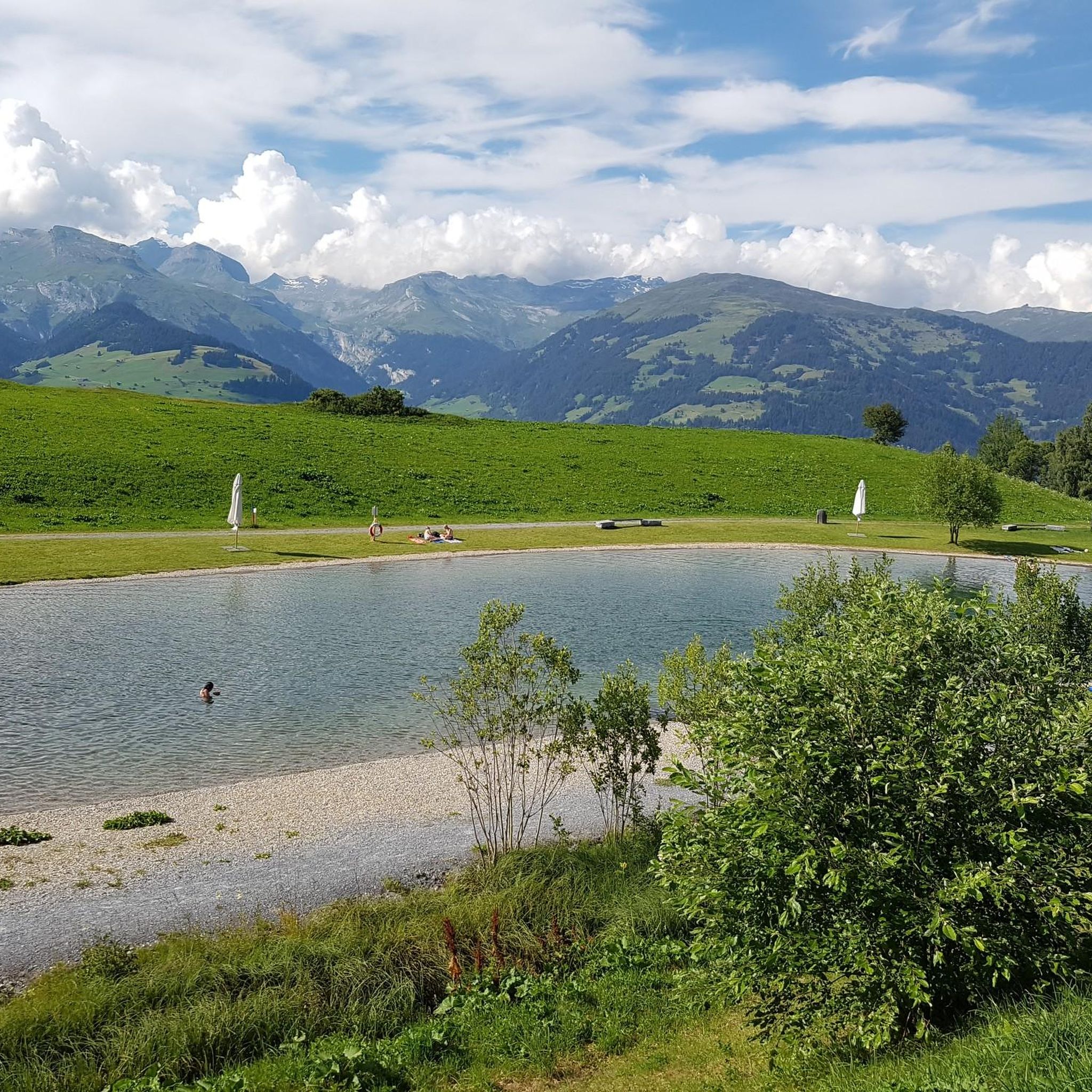
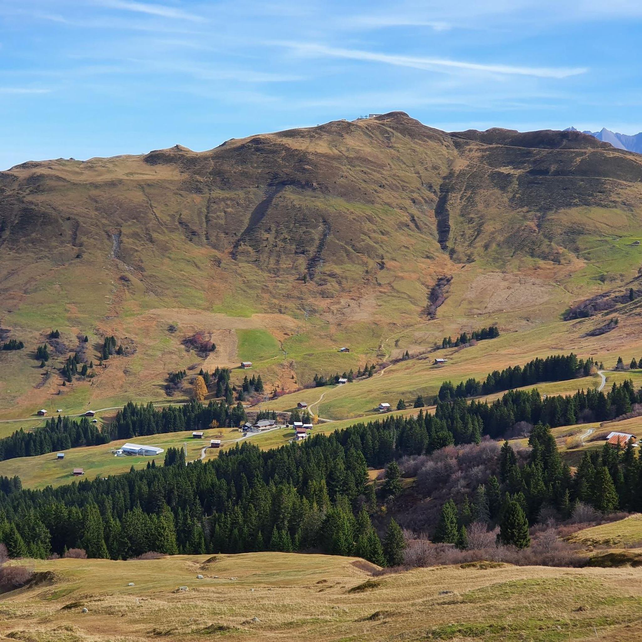
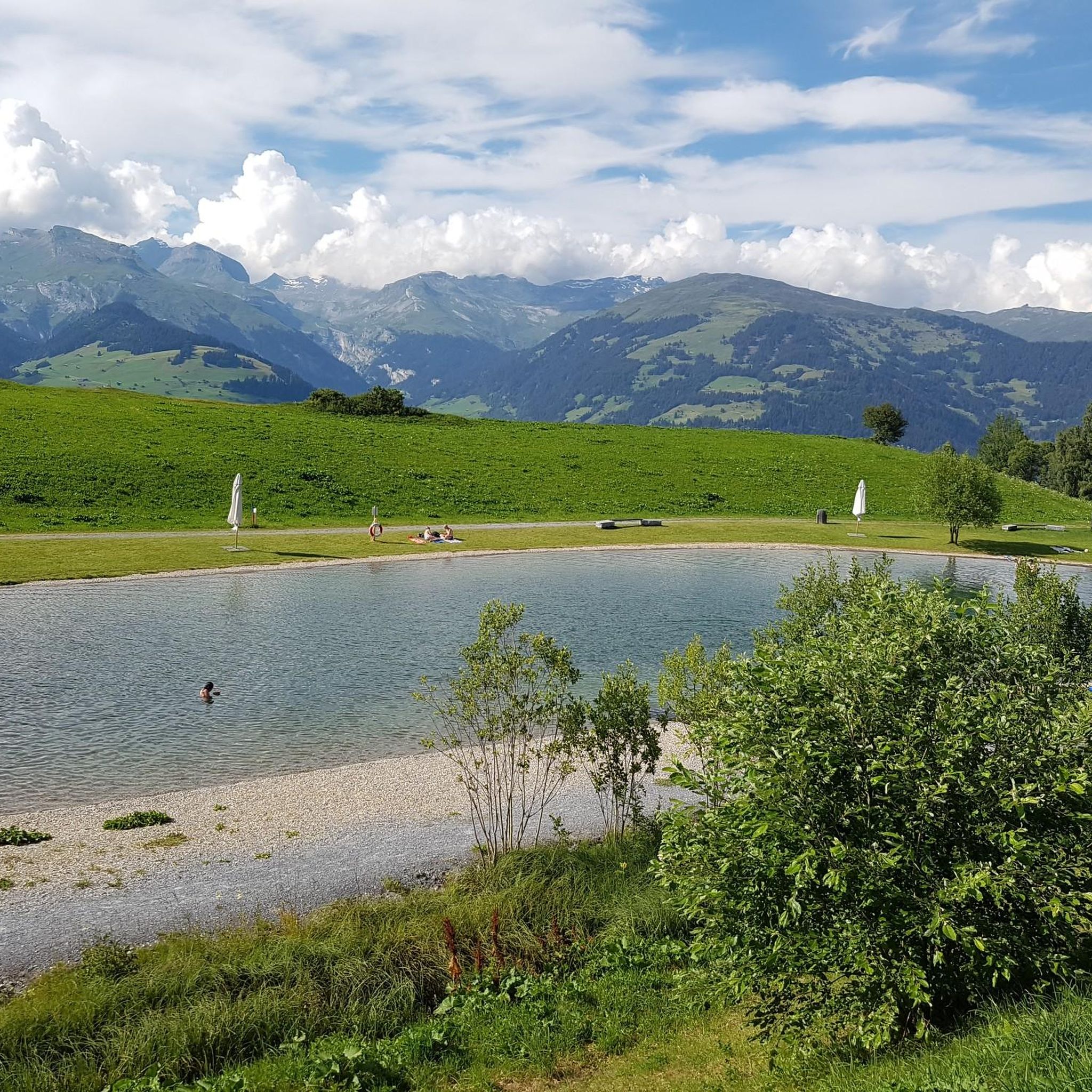
Jogging around Obersaxen offers diverse landscapes across a sunny high plateau in the Surselva region of Graubünden, Switzerland. The area features elevations between 1100 and 1400 meters, providing varied terrain suitable for different fitness levels. Runners can explore alpine meadows, tranquil forests, and routes with panoramic views of the Mundaun mountains. Picturesque lakes like Dachlisee are also integrated into some running routes.
Best jogging routes around Obersaxen
- The most popular jogging route is Mundaun loop from Burg Moregg, a 5.2 miles (8.4 km) trail that takes about 59 minutes to complete. This difficult route offers expansive views across the Surselva region.
- Another top favourite among local runners is Valata – Affeier loop from Surcuolm, a moderate 3.9 miles (6.2 km) path. This route winds through the high plateau, providing scenic views of the surrounding alpine landscape.
- Local runners also love the Cuolm Sura – Mundaun loop from Surcuolm, a 7.6 miles (12.2 km) trail leading through alpine meadows and offering views of the Mundaun mountains, often completed in about 1 hour 28 minutes.
- Jogging around Obersaxen is defined by its high plateau, alpine meadows, and forests, with routes offering panoramic mountain views. The network provides options for various ability levels, from moderate paths to more challenging trails.
- The routes in Obersaxen are highly rated by the komoot community with an average score of 5.0 stars from over 3 reviews. More than 190 runners have used komoot to explore Obersaxen's varied terrain.
Last updated: July 6, 2026
5.0
(1)
24
runners
8.40km
00:59
250m
250m
Hard run. Good fitness required. Sure-footedness, sturdy shoes and alpine experience required.
4.5
(2)
15
runners
6.21km
00:42
160m
160m
Moderate run. Good fitness required. Mostly paved surfaces. Suitable for all skill levels.

Sign up for free
14
runners
12.2km
01:29
410m
410m
Hard run. Very good fitness required. Sure-footedness, sturdy shoes and alpine experience required.
11
runners
9.35km
01:03
240m
240m
Moderate run. Good fitness required. Mostly paved surfaces. Suitable for all skill levels.
11
runners
3.93km
00:27
100m
110m
Moderate run. Good fitness required. Mostly paved surfaces. Suitable for all skill levels.
Get access to more routes and recommendations from other explorers.
Sign up for free
Already have an account?
Our route recommendations are based on thousands of hikes, rides, and runs completed by other people on komoot.
Start today with a free account
Your next adventure awaits.
Login or Signup
Popular around Obersaxen

Winter Magic in the Surselva – peace, space and pure nature
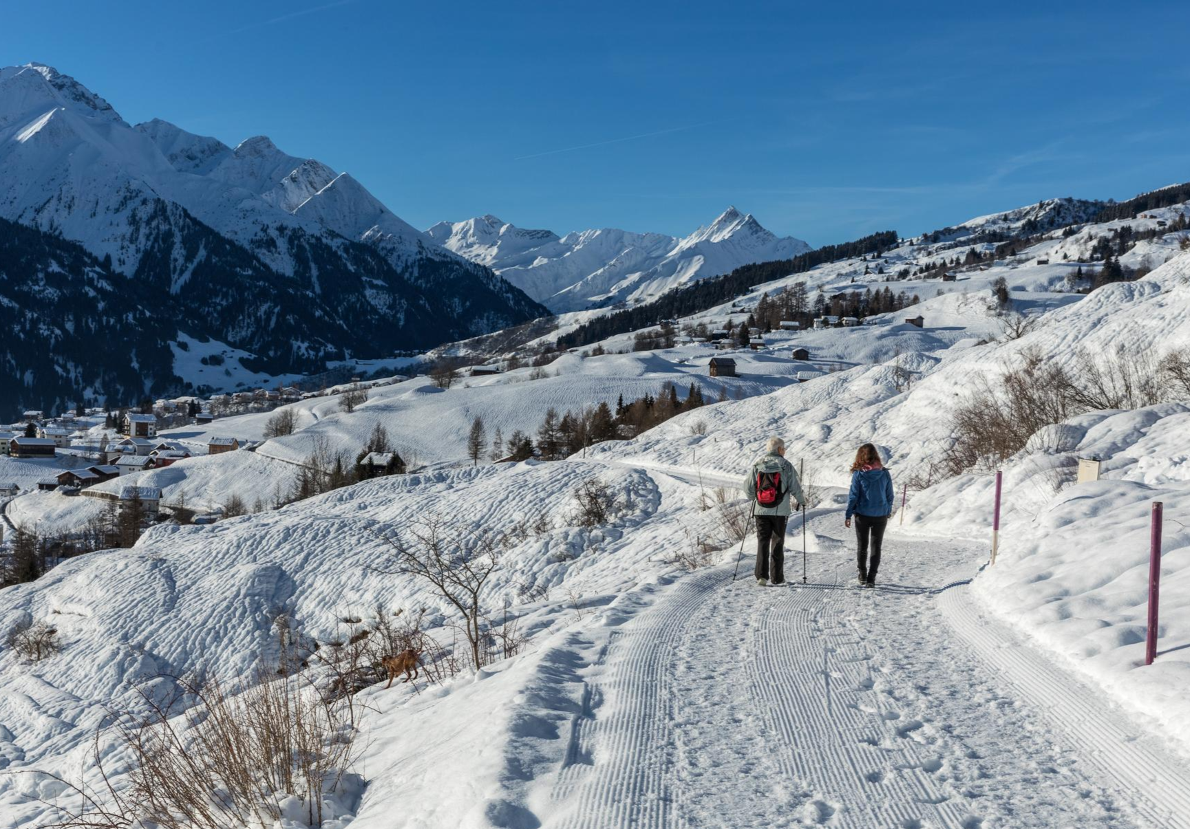
A winter mountain paradise – discover the Surselva
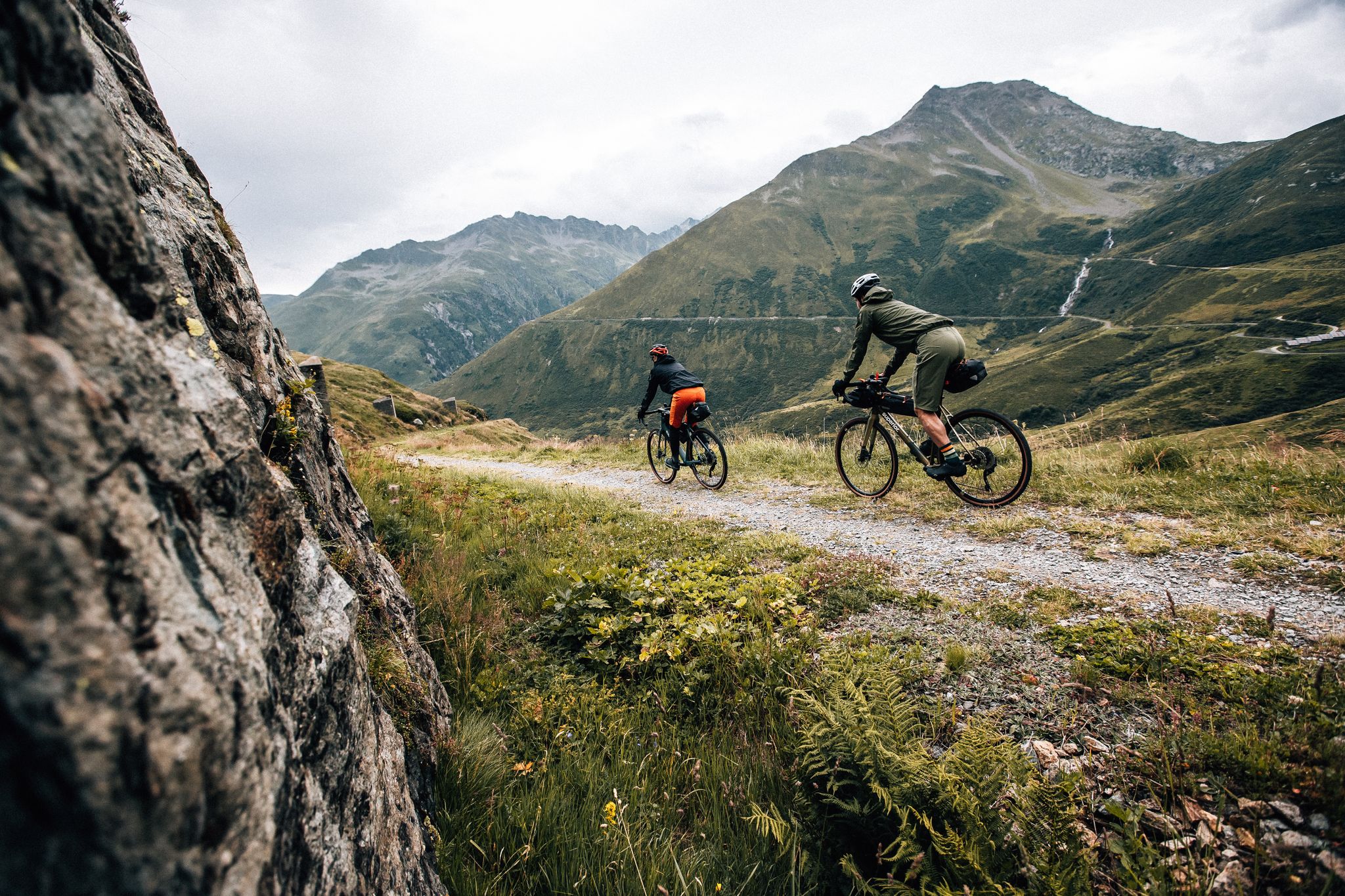
Trans Grischun – cross Graubünden on a gravel bike
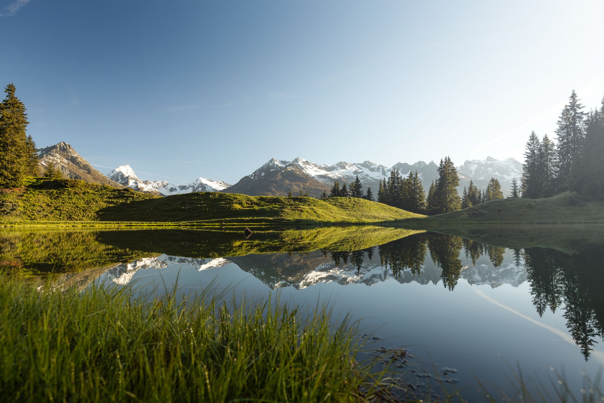
Tiefblau und unberührt – Wanderungen zu den Bergseen der Surselva
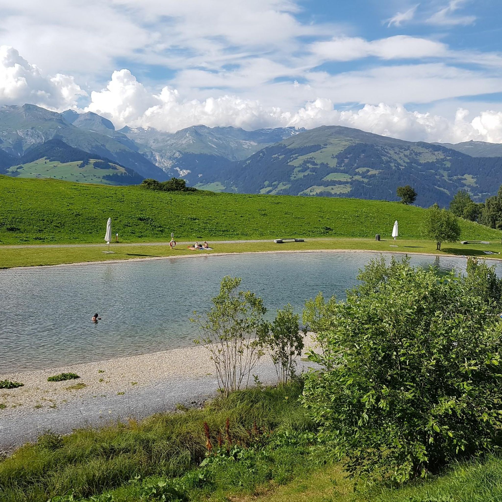
MTB Trails around Obersaxen
Hiking around Obersaxen
Cycling around Obersaxen
Gravel biking around Obersaxen
Road Cycling Routes around Obersaxen
Mountain Hikes around Obersaxen
Other adventures around Obersaxen


Tips from the Community

The Pifalwald is a welcome counterpoint to the open alpine meadows. It is pleasantly cool here even on hot summer days, the path is well shaded, and the ground yields pleasantly underfoot thanks to the forest soil. In quiet moments, you can hear woodpeckers, treecreepers, and sometimes the call of the spotted nutcracker, which is at home in the spruces of Obersaxen.
1
0

Little by little you wind your way up the road to Cuolm Sura. If you need refreshment, you can take a break at the mountain inn at an altitude of 1,616 meters. The view can be enjoyed particularly beautifully on the large sun terrace.
2
0


The cable car station to Piz Mundaun is on our route.
1
0

Frequently Asked Questions
How many running routes are available in Obersaxen?
Obersaxen offers a wide selection of running routes, with over 28 trails available for exploration. These routes vary in difficulty, catering to different fitness levels.
Are there running routes for beginners in Obersaxen?
Yes, Obersaxen has options for beginners. While many routes are moderate or difficult, there is at least one easy route available. For a moderate option that's still accessible, consider the Running loop from Surcuolm, which is just under 4 km.
What natural features or landmarks can I see while running in Obersaxen?
Obersaxen's running routes offer stunning natural beauty. You can experience panoramic views across the Surselva region, traverse alpine meadows and tranquil forests, and see the dramatic Mundaun mountains. Picturesque lakes like Dachlisee are also integrated into some routes. Additionally, you might encounter historic Baroque chapels along the 'Chapels Trail' or the unique Aua dil Mer Waterfall.
Is parking available near the running trails in Obersaxen?
Yes, parking is generally available in the various hamlets and starting points around Obersaxen, such as Burg Moregg or Surcuolm, which serve as access points for many running trails.
How accessible are Obersaxen's running routes by public transport?
Obersaxen is part of the Graubünden region, which typically has good public transport connections. While specific bus stops directly at every trailhead might vary, the main villages and hamlets like Surcuolm or Affeier are usually served by local buses, providing access to the high plateau where many routes begin.
When is the best time of year to go running in Obersaxen?
The spring, summer, and autumn months offer ideal conditions for running in Obersaxen, with lush alpine meadows and comfortable temperatures. The high plateau provides a sunny environment. Always check local weather and trail conditions, especially in early spring or late autumn, as higher elevations can still have snow.
Can I go running in Obersaxen during winter?
While Obersaxen is a winter sports destination, many running trails may be covered in snow and used for cross-country skiing or winter hiking. Some cleared paths or specific winter running routes might be available, but conditions can be challenging. It's best to check local conditions and trail status before planning a winter run.
Are there family-friendly running routes in Obersaxen?
Yes, Obersaxen offers options suitable for families. The 'Joke Path' in Surcuolm provides a leisurely walk with humorous joke boards, and the 'Detective Gemschi' riddle adventure offers an engaging way to explore the hamlets, both of which can be enjoyed at a jogging pace with children.
Are dogs allowed on the running trails in Obersaxen?
Generally, dogs are welcome on trails in Obersaxen, but it's important to keep them on a leash, especially in areas with livestock or wildlife. Always clean up after your dog. Specific restrictions might apply to certain protected areas or during particular seasons, so checking local signage is advisable.
Are there many circular running routes in Obersaxen?
Yes, Obersaxen features numerous circular running routes, allowing you to start and finish in the same location. Popular examples include the challenging Mundaun loop from Burg Moregg and the moderate Valata – Affeier loop from Surcuolm.
What do other runners enjoy the most about jogging in Obersaxen?
The running routes in Obersaxen are highly rated by the komoot community, with an average score of 5.0 stars. Runners frequently praise the diverse landscapes, the expansive views across the Surselva region, and the variety of terrain that caters to different fitness levels, from alpine meadows to tranquil forests.
Are there places to stop for refreshments along the running routes?
While many routes traverse natural landscapes, Obersaxen's hamlets and villages often have local restaurants or cafes where you can stop for refreshments. It's always a good idea to carry water and snacks, especially on longer or more remote trails, and plan your route to pass through populated areas if you intend to stop.
What are some challenging running options in Obersaxen?
For experienced runners seeking a challenge, Obersaxen offers several difficult routes. The Cuolm Sura – Mundaun loop from Surcuolm is a demanding 12.2 km trail with significant elevation changes, leading through alpine meadows and offering extensive mountain views.
Most popular routes around Obersaxen
Most popular attractions around Obersaxen

Get inspired with the komoot mobile app


Explore more
Browse the best Running Trails & Routes in other regions.
