The best running trails around Illartein
4.1
(9)
792
runners
46
runs
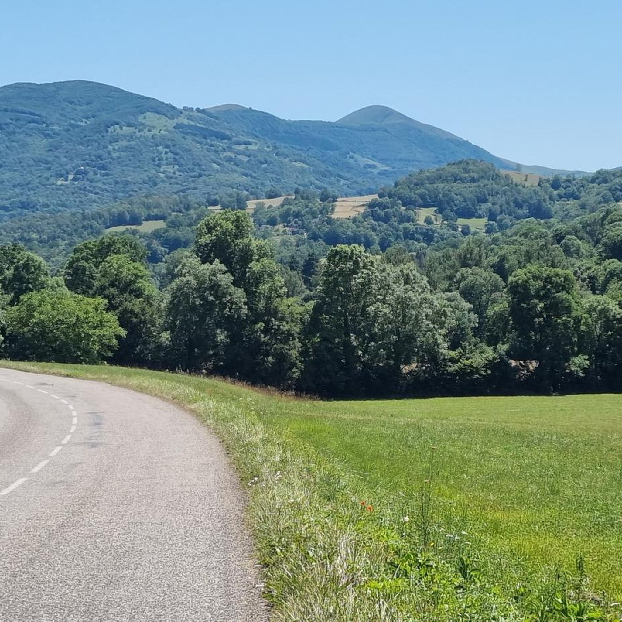
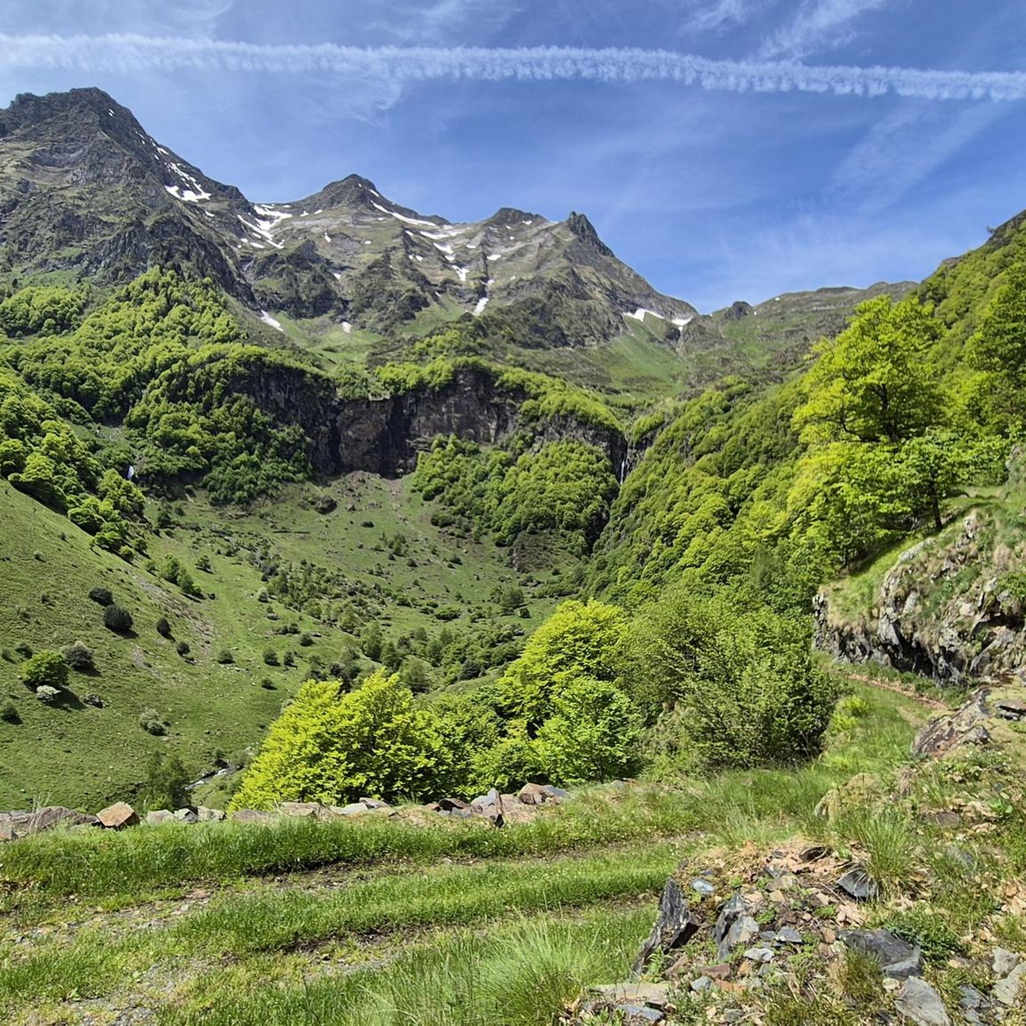
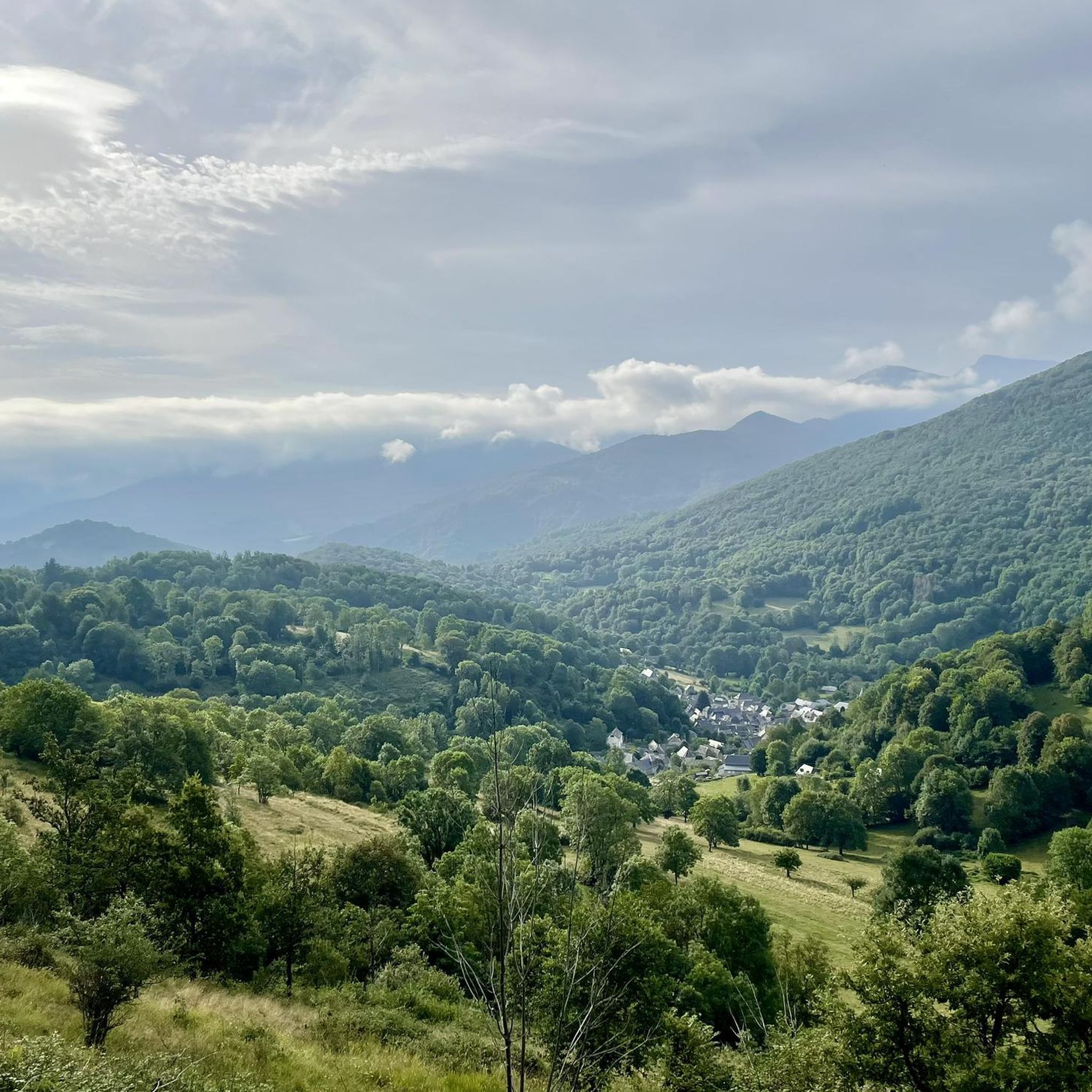
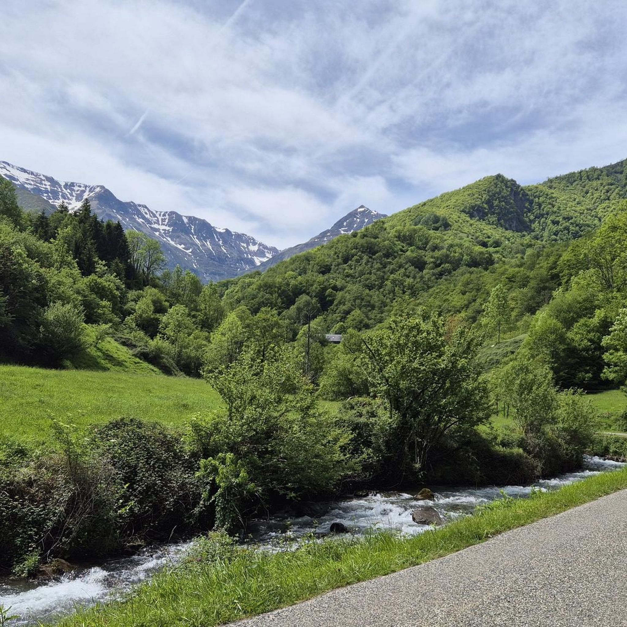
Jogging routes around Illartein traverse a landscape characterized by significant elevation changes and dense woodlands within the Ariège Pyrenees. The region features numerous challenging trails, with many routes ascending over 1000 meters. Runners can expect to encounter varied terrain, including forest paths and mountain ascents, providing a demanding experience. The area's geography is well-suited for those seeking strenuous running opportunities amidst Pyrenean mountains and valleys.
Best jogging routes around Illartein
- The most popular jogging route is Riviere departure – View…
Last updated: July 4, 2026
35
runners
15.9km
02:44
1,080m
1,080m
Hard run. Very good fitness required. Sure-footedness, sturdy shoes and alpine experience required.
11
runners
22.0km
03:25
1,210m
1,210m
Hard run. Very good fitness required. Sure-footedness, sturdy shoes and alpine experience required.

Sign up for free
10
runners
12.5km
02:35
860m
860m
Hard run. Very good fitness required. Sure-footedness, sturdy shoes and alpine experience required.
3.5
(2)
12
runners
12.2km
01:50
610m
610m
Hard run. Very good fitness required. Mostly paved surfaces. Suitable for all skill levels.
5
runners
8.01km
00:58
240m
230m
Moderate run. Good fitness required. Mostly paved surfaces. Suitable for all skill levels.
Get access to more routes and recommendations from other explorers.
Sign up for free
Already have an account?
Our route recommendations are based on thousands of hikes, rides, and runs completed by other people on komoot.
Start today with a free account
Your next adventure awaits.
Login or Signup

Tips from the Community

Nice panorama before the climb to the Peak!
0
0


The Morères cabin is an unguarded shelter in the Pyrenees which has a table, two benches and a small stove. You have a water fountain nearby.
1
0
This picturesque chapel, built in the 18th century, offers a breathtaking view of the surrounding peaks. It is a place of meditation for hikers and nature lovers. It is located on an alternative path to the Tour du Biros.
1
0

Attention delicate passage. Go around and turn right to the meadow, then turn right to join the ridge path.
0
0
Very beautiful view of the Pyrenees from the Pic de Paloumère.
1
0
On the way to the peak of Paloumère, this pass marks the end of the first part of the ascent of sport and Aspet and offers magical views.
0
0
Very nice ascent through the forest. Well marked and maintained trail.
0
0
Frequently Asked Questions
How many running routes are available in Illartein?
Illartein offers a wide selection of running routes, with over 60 trails to explore. The region is particularly known for its challenging terrain, featuring 47 difficult routes, 13 moderate options, and 3 easier paths.
Are there easy running routes in Illartein suitable for beginners?
While Illartein is primarily known for its challenging mountain ascents and dense forest trails, there are a few easier running routes available. For those new to running in the region, it's advisable to check the difficulty ratings on komoot to find the most suitable options.
What kind of terrain can I expect on Illartein's running trails?
Running routes around Illartein traverse a landscape characterized by significant elevation changes and dense woodlands. You can expect varied terrain, including forest paths and demanding mountain ascents, providing a strenuous experience well-suited for experienced runners.
Are there circular running routes around Illartein?
Yes, many of the running routes in Illartein are designed as loops. For example, the Riviere departure – View of Étang d'Araing loop from Antras and the Passengers Pass – Ascent to Pic de Paloumère loop from Augirein are popular circular options that allow you to start and finish in the same location.
Can I bring my dog on the running trails in Illartein?
Many trails in natural areas are dog-friendly, but it's always recommended to check local regulations or specific route details on komoot. Given the mountainous and forested nature of Illartein, dogs are generally welcome, but should be kept under control, especially near livestock or wildlife.
Are there family-friendly running options in Illartein?
Illartein's trails are generally quite challenging due to significant elevation changes. While there are a few easier routes, families with young children or those seeking very gentle paths might find options limited. It's best to look for the 3 routes rated as 'easy' on komoot for more suitable family outings.
What natural attractions can I see while running in Illartein?
The region boasts several natural highlights. You might encounter the beautiful Étang d'Araing, or pass through the Forêt Domaniale du Pré de Palounière. Other notable natural features include the Mail de Laroque and various viewpoints offering panoramic vistas.
Are there any interesting landmarks or places to explore near the running routes?
Beyond the natural beauty, you can find interesting landmarks such as the Portet-d'Aspet pass, a well-known mountain pass. There are also places like the Jacques Husson Refuge or the Gîte d'Étape d'Eylie, which can serve as points of interest or rest stops.
What do other runners enjoy about the trails in Illartein?
The running trails in Illartein are highly rated by the komoot community, with an average score of 4.1 stars from 9 reviews. Runners often praise the challenging mountain ascents, the dense forests, and the high-elevation trails that define the region's unique running experience.
Are there any running routes with parking facilities in Illartein?
Given the rural and mountainous nature of Illartein, many trailheads are accessible by car and offer informal or designated parking areas. It's advisable to check the starting points of specific routes on komoot for detailed information on parking availability.
How can I reach the jogging trails in Illartein by public transport?
Public transport options in mountainous and rural areas like Illartein can be limited. While some villages might have bus services, direct access to many trailheads often requires a car. It's recommended to research local bus schedules for specific starting points or consider carpooling.
What is the best time of year for jogging in Illartein?
The best time for jogging in Illartein is typically from late spring to early autumn (May to October) when the weather is milder and trails are clear of snow. During these months, you can enjoy the full beauty of the dense woodlands and mountain views without the challenges of winter conditions.
Are there options for winter running in Illartein?
Winter running in Illartein can be challenging due to significant elevation and potential snow cover. While some lower elevation paths might be runnable, many mountain trails will require specialized gear like trail running shoes with good grip or even snowshoes, depending on conditions. Always check local weather and trail reports before heading out in winter.
Most popular attractions around Illartein

Get inspired with the komoot mobile app


Explore more
Browse the best Running Trails & Routes in other regions.
