The best walks and hikes around Illartein
4.5
(286)
2,338
hikers
95
hikes
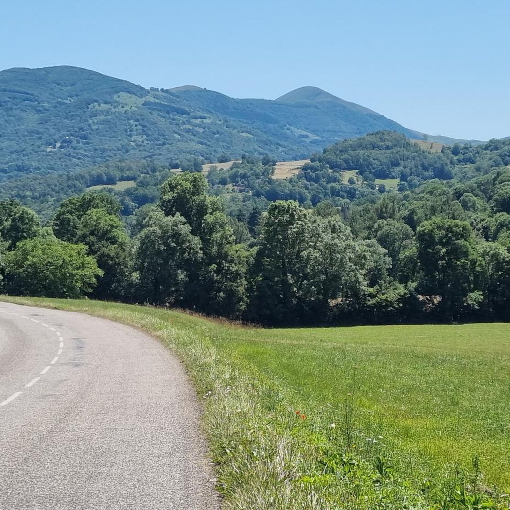
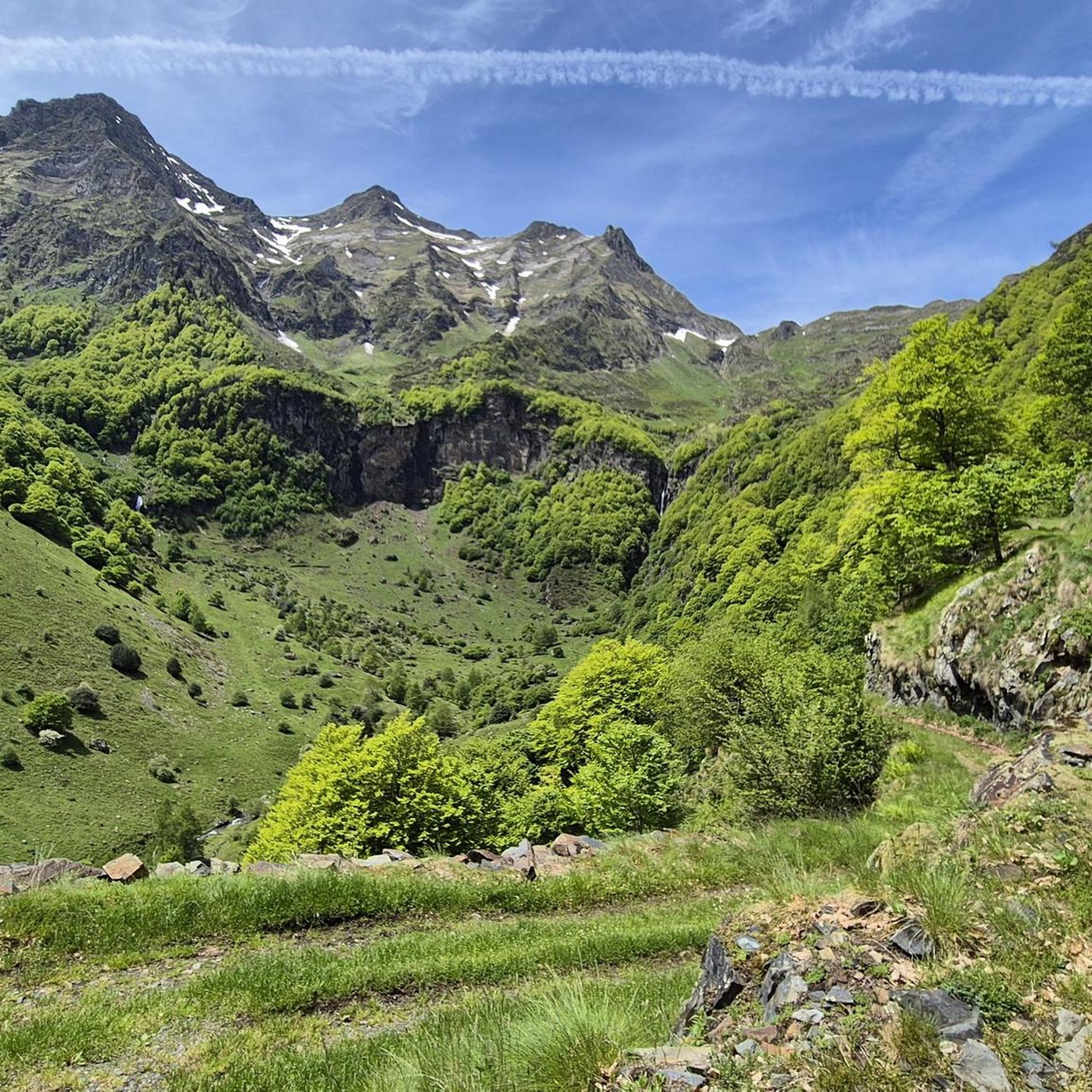
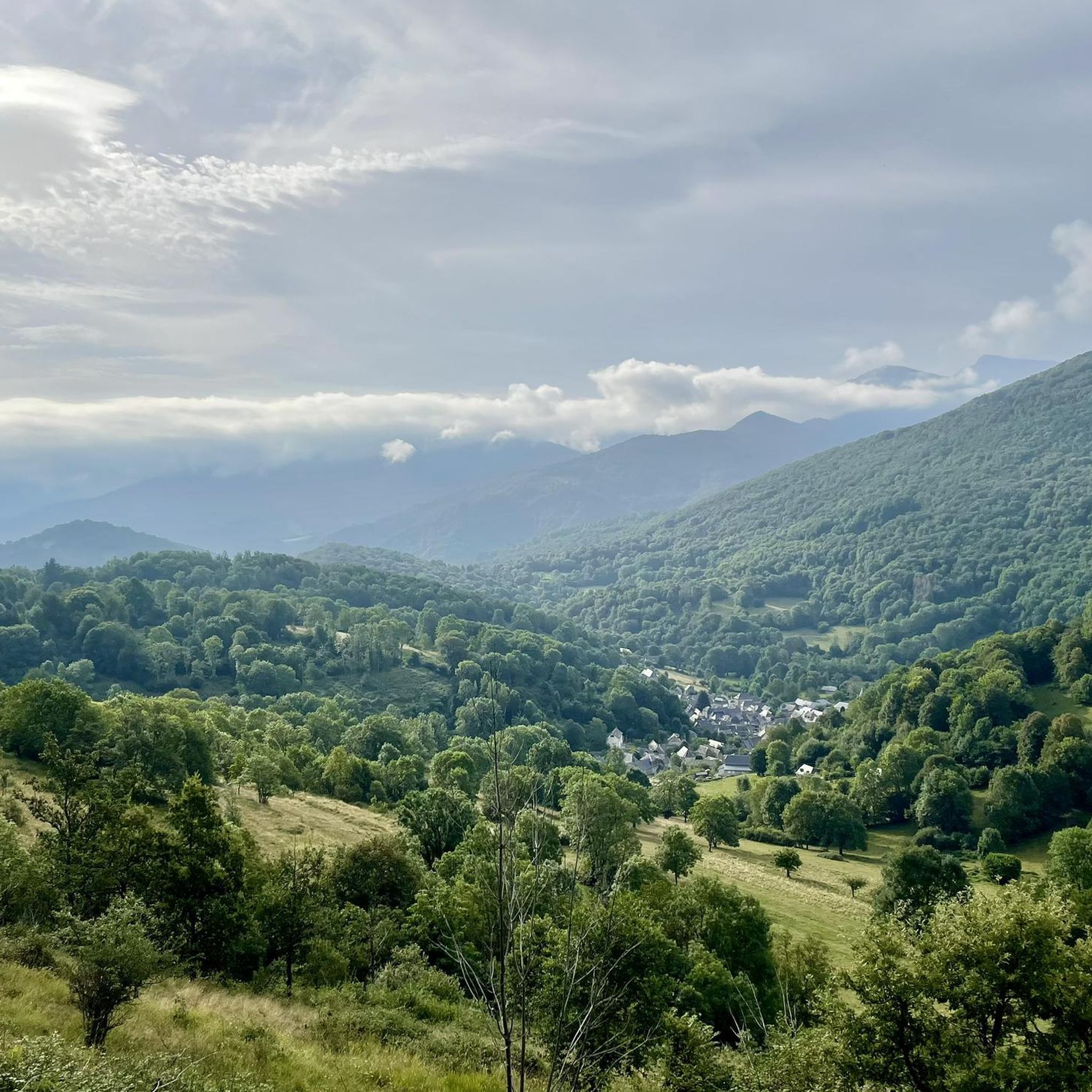
Hiking around Illartein, located in the Ariège Pyrenees, offers diverse landscapes characterized by mountainous terrain, tranquil valleys, and dense forests. The region features peaks like the Mail de Laroque, providing panoramic views, alongside high-altitude lakes and rivers. This varied topography supports a range of hiking experiences, from challenging ascents to serene valley walks.
Best hiking trails around Illartein
- The most popular hiking route is Col de la Croix – Mail de Laroque loop from Antras, a 5.3 miles (8.6…
Last updated: July 4, 2026
4.8
(9)
44
hikers
8.60km
03:26
640m
640m
Moderate hike. Good fitness required. Mostly accessible paths. Sure-footedness required.
5.0
(2)
21
hikers
21.3km
08:19
1,260m
1,260m
Hard hike. Very good fitness required. Mostly accessible paths. Sure-footedness required.

Sign up for free
4.8
(9)
44
hikers
11.1km
04:27
770m
770m
Moderate hike. Good fitness required. Mostly accessible paths. Sure-footedness required.
4.3
(4)
7
hikers
15.0km
04:35
490m
490m
Moderate hike. Good fitness required. Easily-accessible paths. Suitable for all skill levels.
4.0
(1)
10
hikers
12.7km
03:37
290m
290m
Moderate hike. Good fitness required. Easily-accessible paths. Suitable for all skill levels.
Get access to more routes and recommendations from other explorers.
Sign up for free
Already have an account?
Our route recommendations are based on thousands of hikes, rides, and runs completed by other people on komoot.
Start today with a free account
Your next adventure awaits.
Login or Signup


Tips from the Community

Circuit in the woods around the village of Portet d’Aspet
0
0

This segment is quite flat and allows you to appreciate the valley and the surrounding peaks. A real breath of fresh air!
0
0
Just before the Col de la Croix, the Mail de Laroque offers breathtaking views of the surrounding mountains. It is located at almost 1,400 meters above sea level. The rocks are quite impressive!
1
0
The Morères cabin is an unguarded shelter in the Pyrenees which has a table, two benches and a small stove. You have a water fountain nearby.
1
0
This cottage is very nice and welcomes hikers and hikers who venture into the area. Remember to book in summer or confirm its opening in low season.
2
0
Here there is a belvedere that offers a panoramic view of the surroundings. You are a few steps from Eylie d'en Haut, a town that lives up to its name!
1
0

Special mention for the craft beer: Little Siberia 👌🏻 and veggie moussaka.
1
0
Frequently Asked Questions
What types of hiking trails can I find around Illartein?
Illartein offers a wide variety of hiking trails, catering to all skill levels. You'll find everything from easy, family-friendly paths to challenging multi-day treks through mountainous terrain, tranquil valleys, and dense forests. There are nearly 100 routes available, with a good mix of easy, moderate, and difficult options.
Are there any easy or family-friendly hiking options in Illartein?
Yes, Illartein has several easy trails suitable for families. While specific family-friendly routes aren't detailed here, the region offers accessible paths that allow everyone to enjoy the natural beauty of the Pyrenees. Look for routes marked as 'easy' on komoot for suitable options.
Can I find circular hiking routes near Illartein?
Absolutely. Many popular routes around Illartein are circular, allowing you to start and end at the same point. For example, the Col de la Croix – Mail de Laroque loop from Antras is a moderate 8.6 km trail offering impressive rock formations and expansive views. Another great option is the Grotte d'Escarchein loop from Augirein, a moderate 15 km route.
What kind of natural landmarks or viewpoints can I expect to see on the trails?
The trails around Illartein are rich with natural beauty. You can expect stunning mountainous terrain, verdant valleys, and impressive rock formations. Notable landmarks include the majestic Mail de Laroque, which offers breathtaking views of the surrounding mountains. Many routes also feature scenic viewpoints, such as the Segment on the plateau, providing panoramic vistas.
Are there any lakes or waterfalls accessible by hiking near Illartein?
While not directly on every trail, the wider Ariège Pyrenees Regional Nature Park, which encompasses Illartein, is home to beautiful natural lakes like Bethmale Lake and Lers Lake. The impressive Ars waterfalls near Aulus les Bains are also a significant natural feature accessible to hikers in the region, offering a rewarding destination.
What are some challenging hikes for experienced trekkers?
For experienced hikers seeking a challenge, the region offers several difficult routes with significant elevation gain. A prime example is the Col de la Croix – Blazy Pass loop from Sentein, a difficult 21.3 km path featuring challenging ascents through mountainous terrain.
What do other hikers say about the trails in Illartein?
The hiking trails around Illartein are highly regarded by the komoot community, holding an average rating of 4.5 stars from over 200 reviews. Hikers often praise the diverse landscapes, from tranquil valleys to challenging mountain ascents, and the opportunity to immerse themselves in the stunning Pyrenean scenery.
Are there any places to stop for refreshments or accommodation along the trails?
Yes, some routes pass by or are near facilities where you can rest and refuel. For instance, the Gîte d'Étape d'Eylie – Eylie d'en Haut Viewpoint loop from Sentein is named after the Gîte d'Étape d'Eylie, a hut that can serve as a stopping point. You might also find refuges like the Jacques Husson Refuge in the broader area.
What is the best time of year to go hiking in Illartein?
The Pyrenees region around Illartein offers hiking opportunities across various seasons. Spring and autumn generally provide pleasant temperatures and vibrant scenery, while summer is ideal for higher-altitude treks. Winter hiking is possible but requires appropriate gear and experience due to snow and colder conditions. Always check local weather forecasts before heading out.
Is parking available for hikers in Illartein?
While specific parking locations aren't detailed for every trailhead, many popular routes, especially those starting from villages like Antras, Balacet, or Sentein, typically have designated parking areas for hikers. It's advisable to check the starting point details of your chosen route for specific parking information.
Are dogs allowed on the hiking trails around Illartein?
Many trails in the Ariège Pyrenees are dog-friendly, but regulations can vary, especially within protected areas or nature reserves. It's generally recommended to keep dogs on a leash to protect local wildlife and livestock. Always check specific trail rules or local signage before bringing your dog.
What is the terrain like on the trails near Illartein?
The terrain around Illartein is diverse, ranging from well-maintained paths in valleys to rugged, rocky sections in higher mountainous areas. You'll encounter a mix of forest trails, open pastures, and steeper ascents, often with impressive rock formations, particularly on routes like the Col de la Croix – Mail de Laroque loop from Balacet.
Most popular attractions around Illartein

Get inspired with the komoot mobile app


Explore more
Browse the best Hikes in other regions.
