The best mountain hikes around Teufen (AR)
5.0
(1)
90
hikers
15
hikes
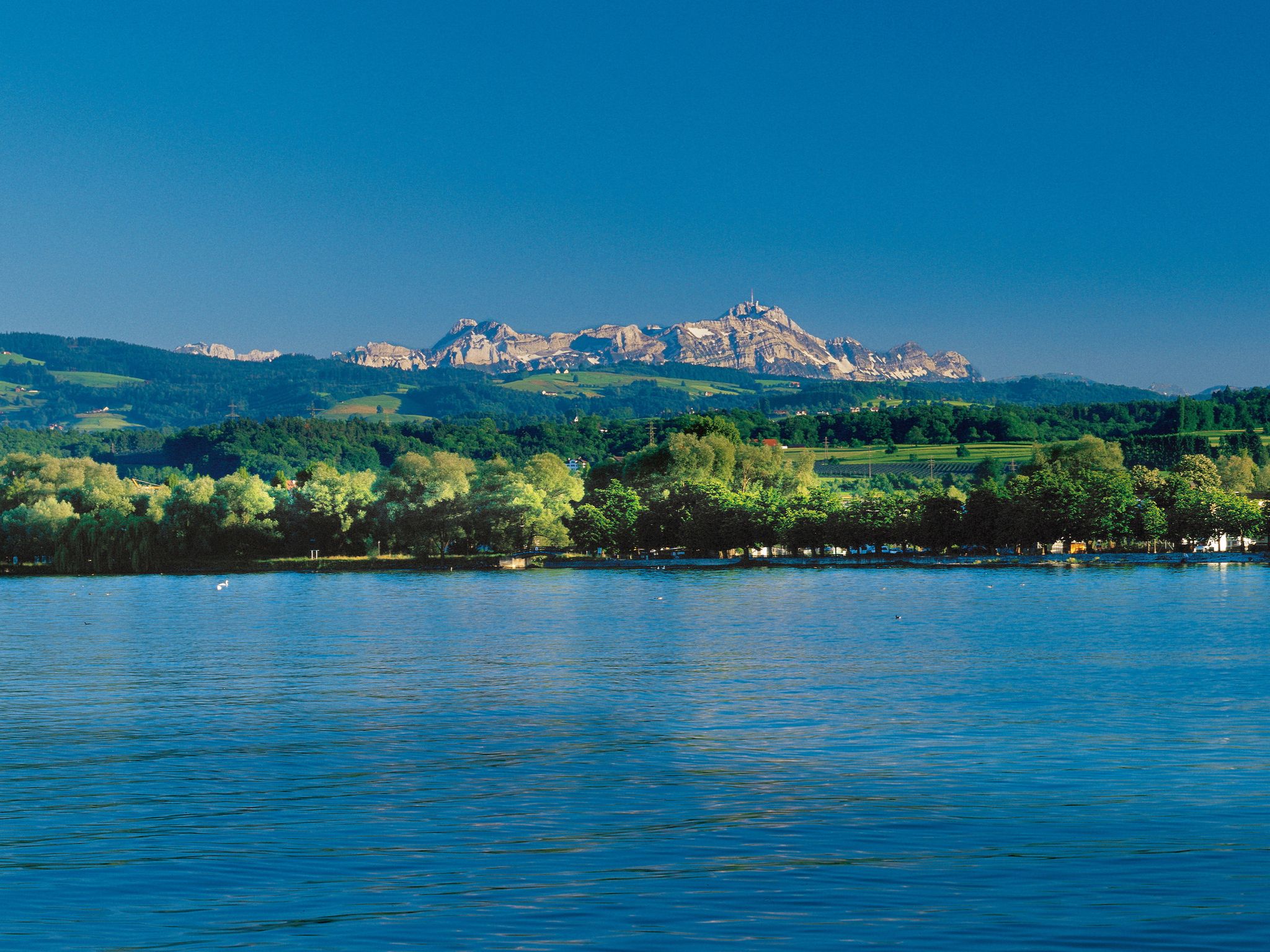
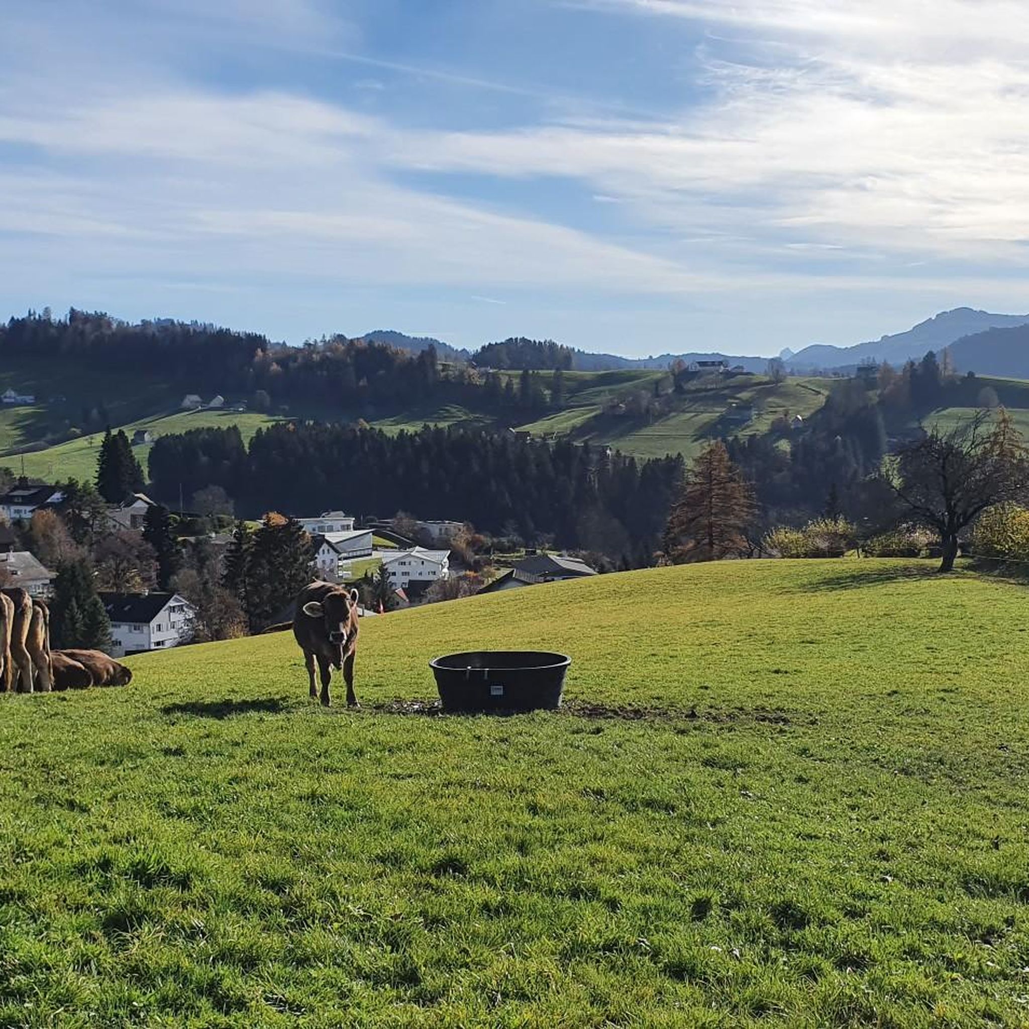
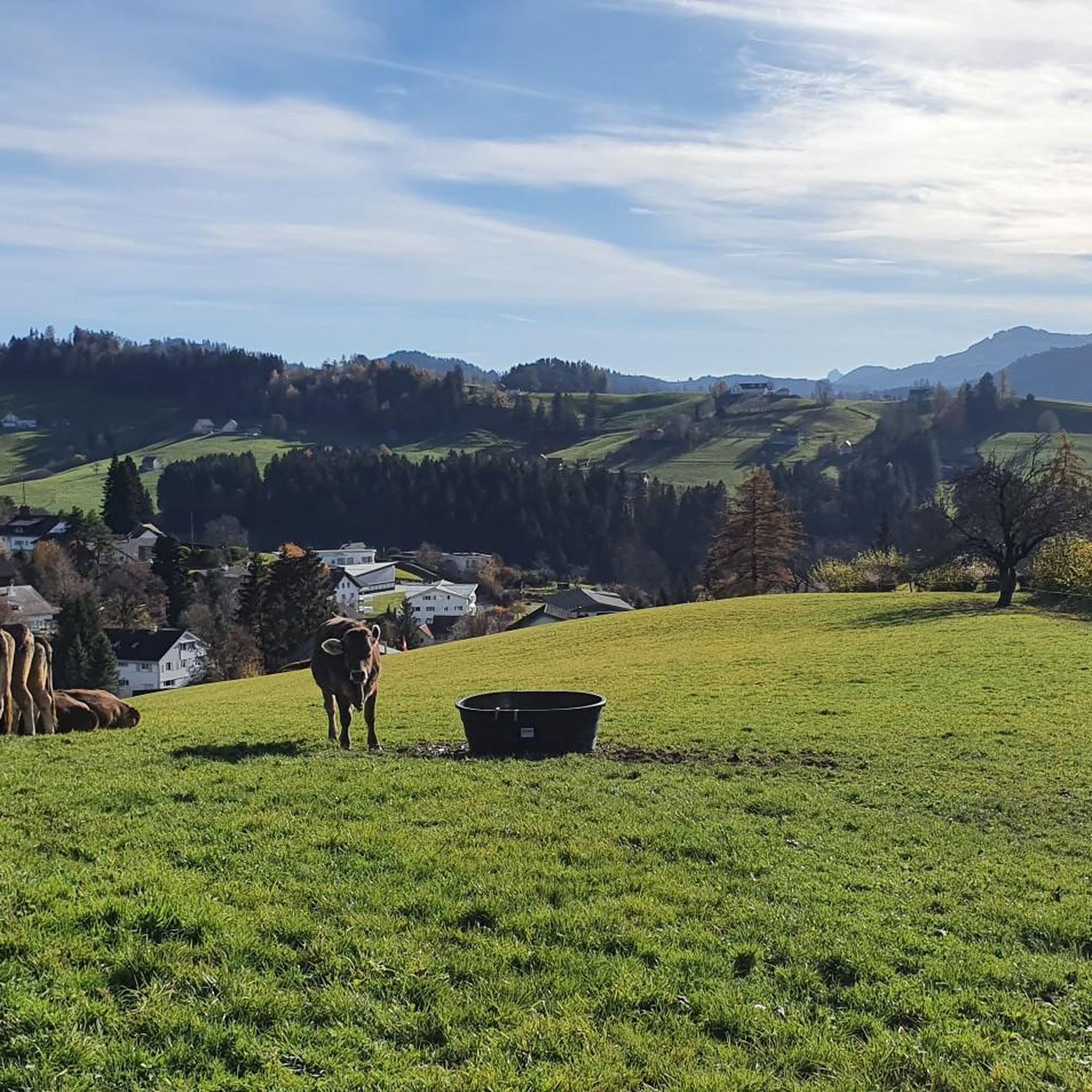
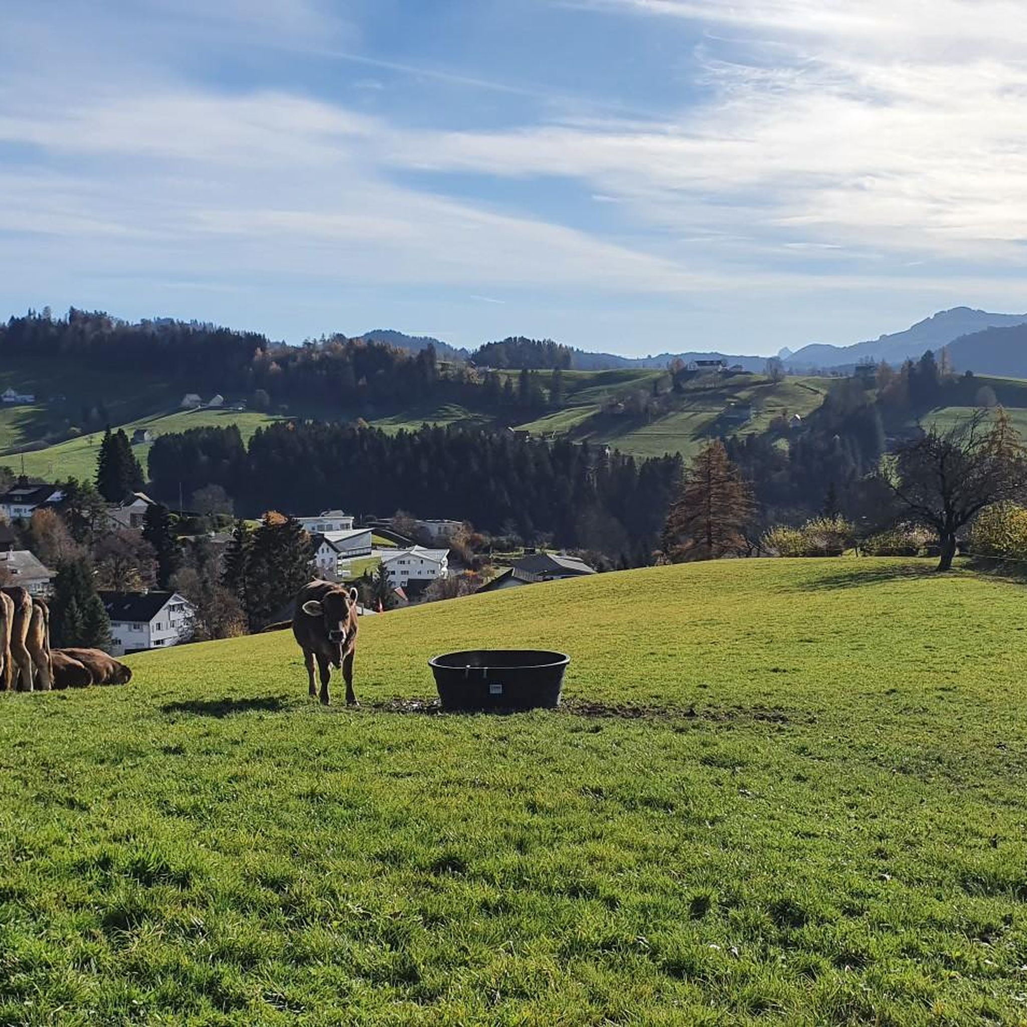
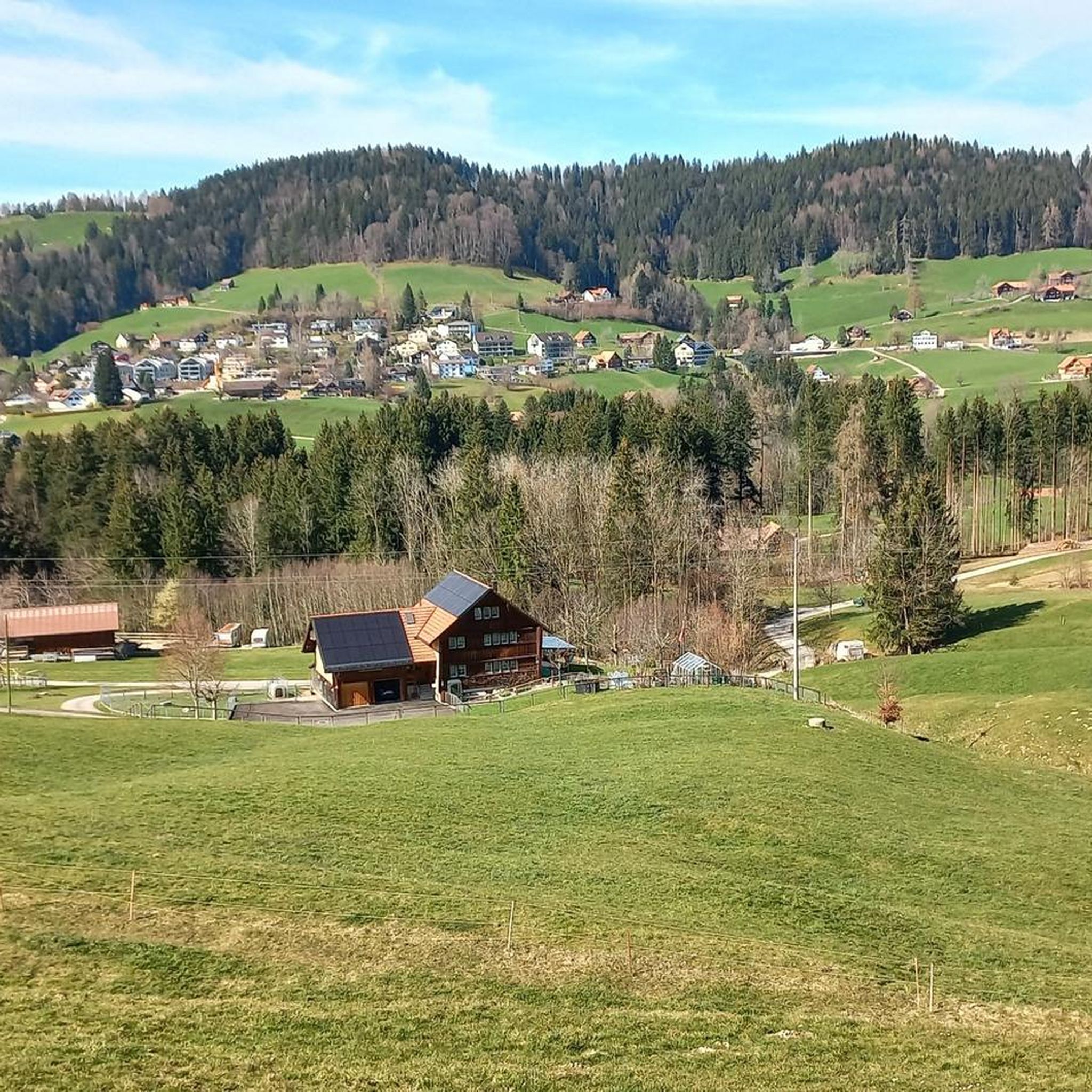
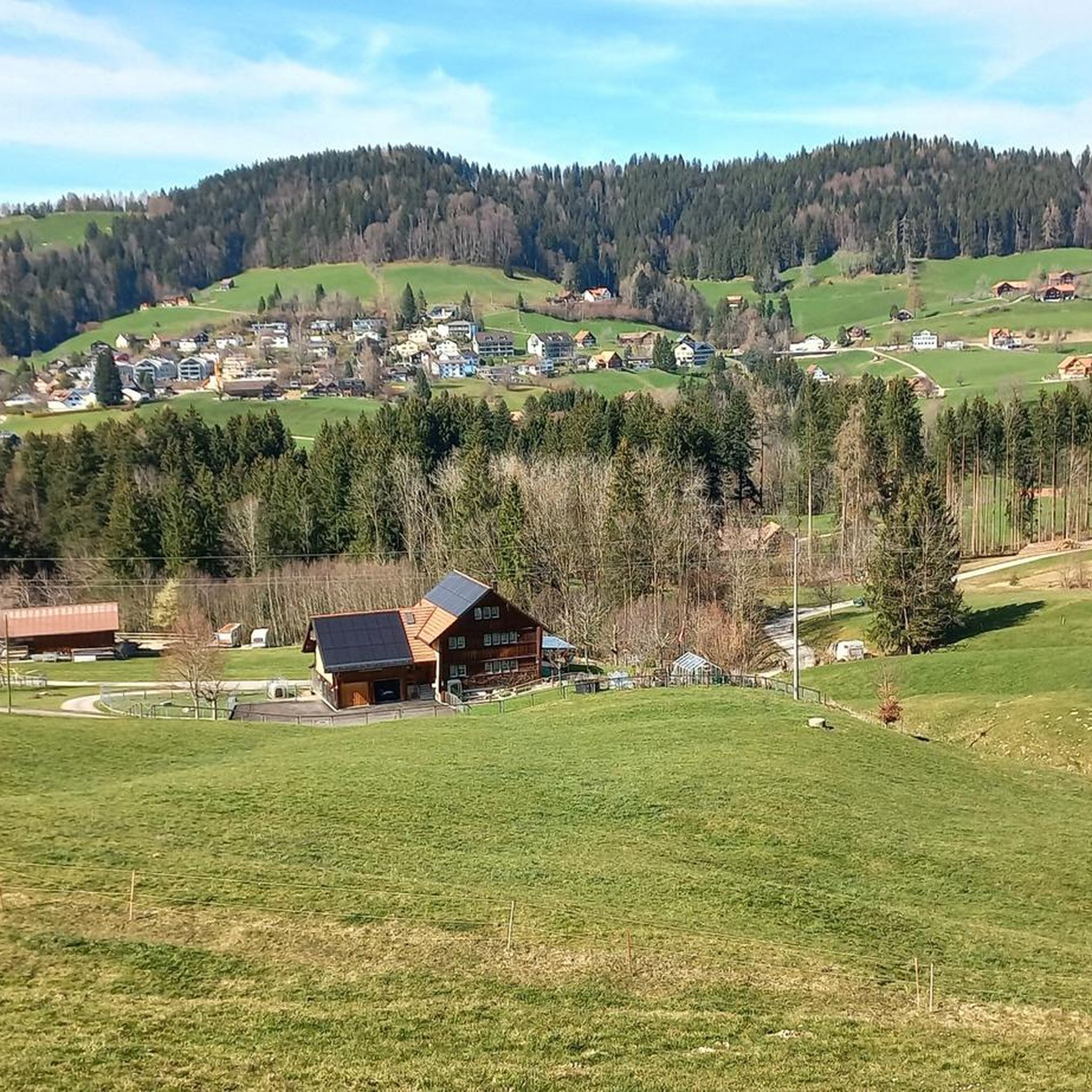
Mountaineering around Teufen (AR) offers access to a diverse landscape characterized by charming hilly terrain, expansive panoramic views, and proximity to the majestic Alpstein massif. The region features a mix of lush meadows, dense forests, and impressive ravines carved by rivers like the Sitter and Urnäsch. These natural elements provide varied environments for mountaineering, ranging from challenging alpine ascents to scenic routes through lower elevations.
Best mountaineering routes around Teufen (AR)
- The most popular mountaineering route is Geißensteig Forest Trail…
Last updated: May 26, 2026
13
hikers
10.5km
03:18
410m
410m
Moderate mountaineering route. Good fitness required. Easily-accessible paths. Suitable for all skill levels.
12
hikers
13.7km
05:04
800m
800m
Hard mountaineering route. Very good fitness required. Mostly accessible paths. Sure-footedness required.

Sign up for free
10
hikers
15.1km
05:52
850m
850m
Hard mountaineering route. Very good fitness required. Mostly accessible paths. Sure-footedness required.
8
hikers
6.80km
02:25
390m
390m
Moderate mountaineering route. Good fitness required. Easily-accessible paths. Suitable for all skill levels.
11
hikers
11.4km
04:15
720m
720m
Moderate mountaineering route. Good fitness required. Mostly accessible paths. Sure-footedness required.
Get access to more routes and recommendations from other explorers.
Sign up for free
Already have an account?
Our route recommendations are based on thousands of hikes, rides, and runs completed by other people on komoot.
Start today with a free account
Your next adventure awaits.
Login or Signup

Other adventures around Teufen (AR)

Tips from the Community

The restaurant is highly recommended, great food and cool drinks. Great view of the mountains and also to Lake Constance
0
0

At this junction, there are great views to the right and left, and if there are two of you, you can have fun communicating with each other in these little huts with the chimes.
0
0

Steep but pristine ascent through the forest
0
0

The restaurant offers unobstructed views in three directions.
0
1

The origins of devotion to St. James at this location are linked to a legend. According to this legend, the apostle violently hurled his walking sticks away from Santiago de Compostela, and they landed on the Kronberg. This explains the origin of the two pilgrim staffs in the colors red and yellow (the Spanish national colors!).
3
0

Perfect for a short break, protected by the trees
1
0

Pretty and typical Appenzell village.
1
0

Very tasty here. Ultra relaxed and a fantastic view.
0
0
Frequently Asked Questions
How many mountaineering routes are available around Teufen (AR)?
There are over 15 mountaineering routes around Teufen (AR) documented on komoot, offering a diverse range of experiences for outdoor enthusiasts.
What is the general difficulty level of mountaineering routes in Teufen (AR)?
The majority of mountaineering routes in Teufen (AR) are classified as moderate, with 13 out of 16 routes falling into this category. There are also 3 more challenging routes for experienced mountaineers.
Are there any routes suitable for beginners or those looking for an easier mountaineering experience?
While there are no routes specifically classified as 'easy' for mountaineering, many of the moderate routes can be suitable for beginners with a good level of fitness. For example, the Geißensteig Forest Trail – Gäbrisseeli loop from Gais is a moderate 6.5-mile route with a manageable elevation gain of around 410 meters.
What kind of terrain can I expect on mountaineering routes near Teufen (AR)?
You can expect a varied landscape, from charming hilly terrain with lush meadows and dense forests to more alpine environments closer to the Alpstein massif. Some routes also feature impressive ravines and bridges over rivers like the Sitter and Urnäsch.
Are there any notable natural features or landmarks to see along the mountaineering routes?
Yes, the region is rich in natural beauty. You can explore impressive gorges like the Wissbach Gorge Trail, discover the Mühletöbeli Gorge Waterfall, or marvel at the Haggen Bridge Over the Sitter Gorge. Many routes also offer views of the prominent Alpstein massif and Lake Constance.
Where can I find mountain huts or places to eat along the trails?
Several routes pass by welcoming mountain inns and restaurants. For instance, the Scheidegg Inn – Kronberg loop from Gonten includes the Scheidegg Mountain Inn. Other options include the Restaurant at Hundwiler Höhi and the Hoher Hirschberg mountain restaurant.
Are there routes that offer panoramic views of the region?
Absolutely. Teufen (AR) is known for its stunning panoramic views. The Eggen hills, between Teufen and Speicher, offer fantastic vistas of Lake Constance and the Säntis. Peaks like the Hundwiler Höhi provide expansive views of Appenzellerland, Lake Constance, the Alpstein chain, and even the Bernese Alps on clear days. The Scheidegg Inn – Kronberg Summit Cross loop from Jakobsbad is a great option for scenic views.
Is it possible to access mountaineering routes in Teufen (AR) using public transport?
Yes, many trailheads in the Appenzell region, including those near Teufen (AR), are well-connected by public transport. It's advisable to check local bus and train schedules to plan your access to specific starting points.
What are the parking options for mountaineering trailheads in Teufen (AR)?
Parking is generally available at or near many popular trailheads in the Teufen (AR) area. Specific parking information can often be found on local tourism websites or detailed route descriptions on komoot for individual tours.
Are there any circular mountaineering routes in the area?
Yes, several routes are designed as loops, allowing you to start and end at the same point. Examples include the Hundwiler Höhi – Göbsi loop from Gonten and the Kronberg – Scheidegg Inn loop from Jakobsbad.
What do other mountaineers enjoy the most about mountaineering in Teufen (AR)?
Mountaineers using komoot frequently praise the diverse landscape, from the charming hilly terrain to the impressive views of the Alpstein massif and Lake Constance. The well-maintained trails and the opportunity to combine challenging ascents with scenic walks through meadows and forests are also highly valued.
Most popular routes around Teufen (AR)
Most popular attractions around Teufen (AR)

Get inspired with the komoot mobile app


