The best walks and hikes around Sentenac-De-Sérou
4.6
(186)
1,353
hikers
67
hikes
Hiking around Sentenac-De-Sérou offers access to the varied terrain of the Ariège Pyrenees, characterized by mountain passes, forested slopes, and open ridges. The region features a network of trails that traverse both lower valleys and higher elevations, providing diverse landscapes for exploration. Hikers can expect a mix of ascents and descents, with views of the surrounding natural park. The area is defined by its natural, undeveloped environment, making it suitable for those seeking a tranquil outdoor experience.
Best hiking trails around Sentenac-De-Sérou
- The most popular hiking route is Le cap du Carmil – hike starting from Col des Marrous – Parc naturel régional des Pyrénées Ariégeoises, an 8.3 miles (13.4 km) trail that takes 4 hours 21 minutes to complete. This moderate route features significant elevation gain and panoramic views from the Cap du Carmil.
- Another top favourite among local hikers is Portel Pass – Cap de Campets loop from Col de Portel, a moderate 6.1 miles (9.9 km) path. This trail offers a mix of open pass scenery and forested sections, providing varied terrain and vistas.
- Local hikers also love the Péguère Pass – Cap du Carmil loop from Col de Péguère, a 2.3 miles (3.7 km) trail leading through mountain pass landscapes and offering views towards Cap du Carmil, often completed in about 1 hour 20 minutes.
- Hiking around Sentenac-De-Sérou is defined by its mountain passes, forested slopes, and open ridge walks. The network offers options for different ability levels, from easy hikes to more challenging routes with significant elevation changes.
- The routes in Sentenac-De-Sérou are highly rated by the komoot community with an average score of 4.5 stars from over 150 reviews. More than 1,200 hikers have used komoot to explore Sentenac-De-Sérou's varied terrain.
Last updated: July 2, 2026
4.5
(12)
131
hikers
Moderate hike. Good fitness required. Easily-accessible paths. Suitable for all skill levels.
4.8
(8)
25
hikers
9.86km
03:12
420m
420m
Moderate hike. Good fitness required. Easily-accessible paths. Suitable for all skill levels.

Sign up for free
4.7
(3)
42
hikers
3.72km
01:21
240m
240m
Easy hike. Great for any fitness level. Easily-accessible paths. Suitable for all skill levels.
5.0
(1)
26
hikers
7.20km
02:23
350m
350m
Moderate hike. Good fitness required. Easily-accessible paths. Suitable for all skill levels.
4.8
(10)
28
hikers
13.0km
04:04
480m
480m
Moderate hike. Good fitness required. Easily-accessible paths. Suitable for all skill levels.
Get access to more routes and recommendations from other explorers.
Sign up for free
Already have an account?
Our route recommendations are based on thousands of hikes, rides, and runs completed by other people on komoot.
Start today with a free account
Your next adventure awaits.
Login or Signup

Tips from the Community

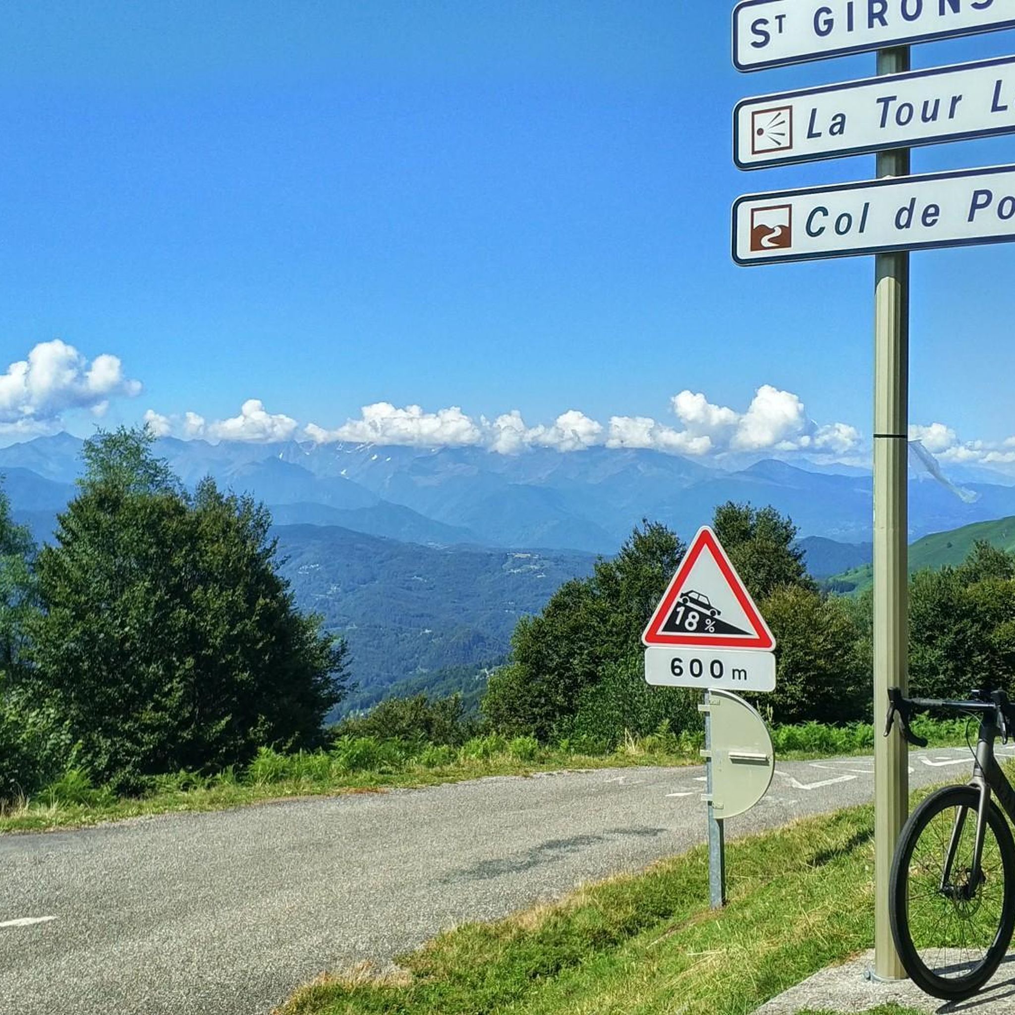
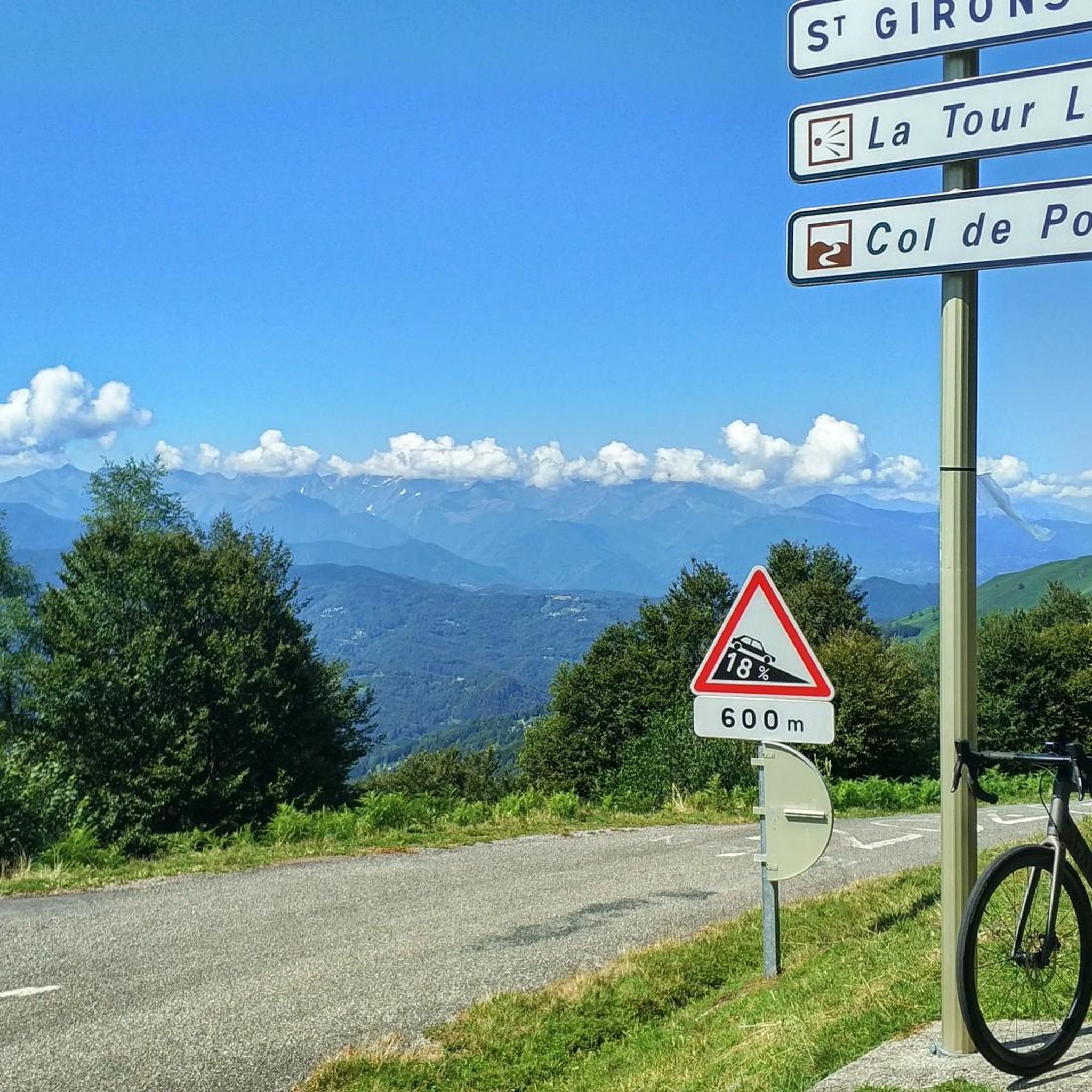
I climbed it from its easier side, the one that starts from Foix and stretches for 28 kms, crossing the Col de Marrous. It's a steady climb, with a few tough kilometers, and very pleasant. It's the side used by the Tour de France to descend it. The best thing about the Mur de Peguère are the views from its summit.
0
0


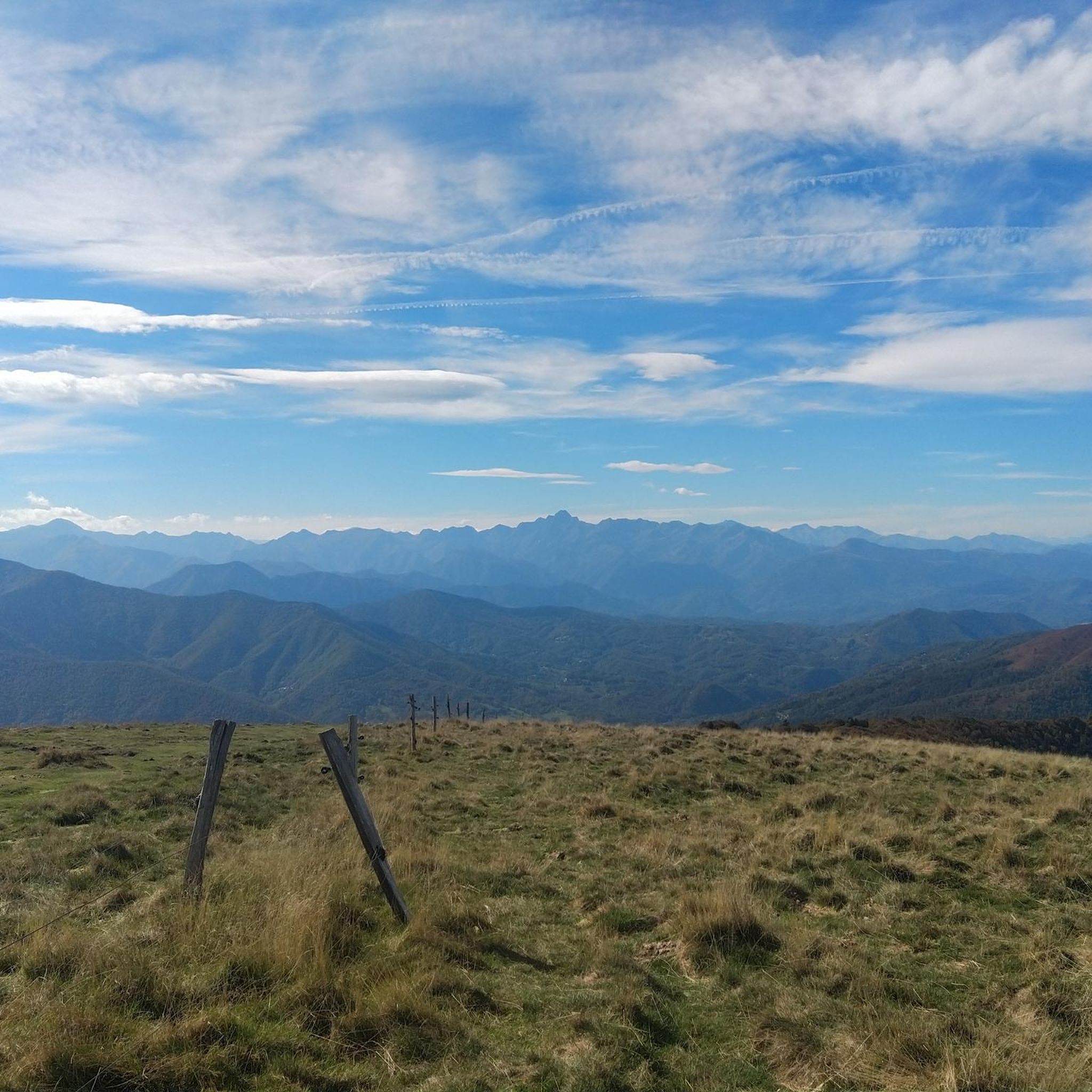
Magnificent site with a 360° panorama of the cross-border chain and valleys.
0
0

The Col de Péguère, called Mur de Péguère since the Tour de France, is a Pyrenean road pass in the Arize massif, located on the border of the municipal territories of Boussenac and Sentenac-de-Sérou, in Ariège.
0
0

Magnificent panorama from a summit of Cap du Carmil
0
0
The ascent to Cap de Carmil offers beautiful views of its rounded summit.
0
0
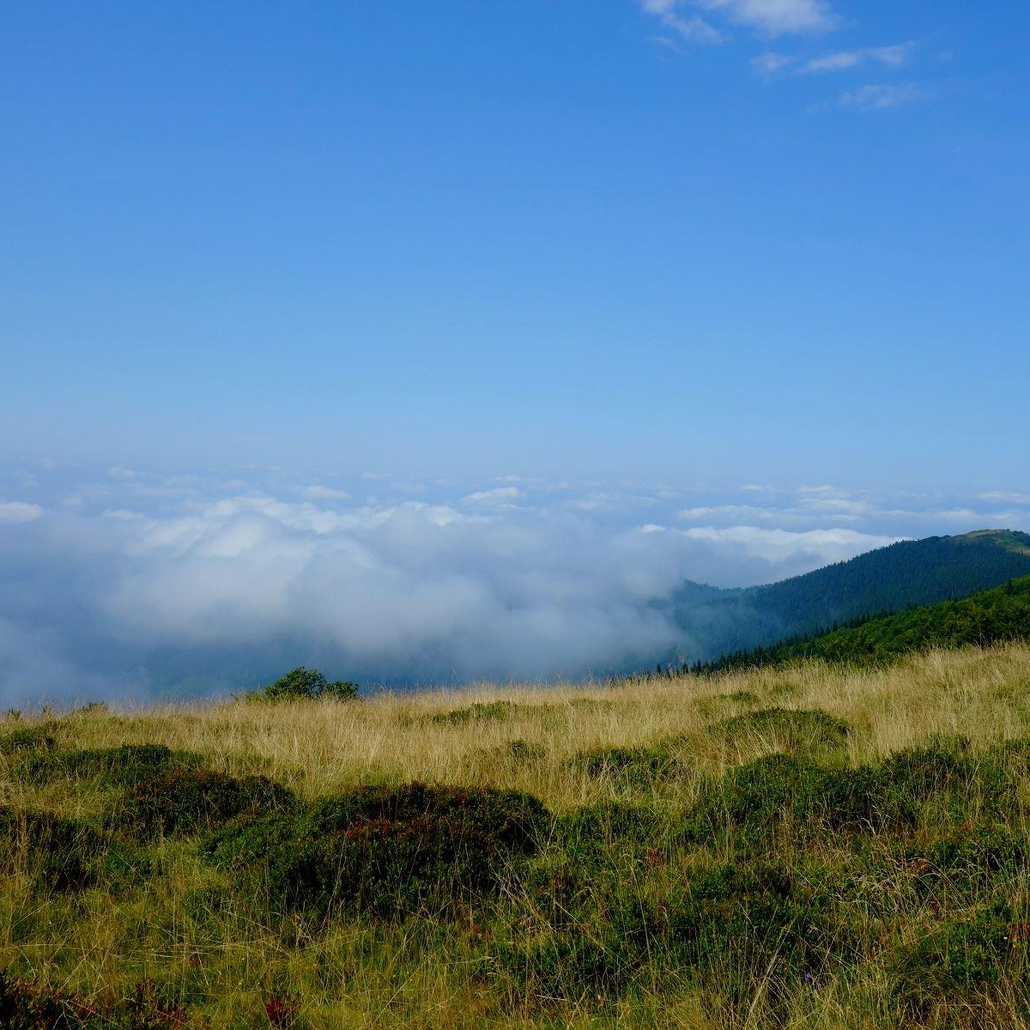
Magnificent panorama from a very accessible summit via the Col de Péguère.
0
0
Frequently Asked Questions
How many hiking trails are available around Sentenac-De-Sérou?
The Sentenac-De-Sérou region offers a wide variety of hiking experiences, with over 65 trails available. These routes traverse the varied terrain of the Ariège Pyrenees, from forested slopes to open ridges.
Are there easy hiking options for beginners or families in Sentenac-De-Sérou?
Yes, the area provides several easy hiking options. For instance, the Péguère Pass – Cap du Carmil loop from Col de Péguère is an easy 2.3-mile (3.7 km) trail that takes about 1 hour 20 minutes, offering scenic views without significant challenge. There are 17 easy routes in total.
What kind of terrain can I expect on hikes around Sentenac-De-Sérou?
Hikers can expect a diverse landscape characterized by mountain passes, dense forested slopes, and open ridges. The trails often feature a mix of ascents and descents, providing varied terrain and panoramic views of the surrounding natural park.
Are there any circular hiking routes in the area?
Yes, many routes in Sentenac-De-Sérou are designed as loops. A popular moderate circular option is the Portel Pass – Cap de Campets loop from Col de Portel, which is 6.1 miles (9.9 km) long and offers a mix of open pass scenery and forested sections.
What are some challenging hikes for experienced trekkers?
For those seeking a more challenging experience, there are 10 difficult routes in the region. These typically involve significant elevation gain and longer distances, providing a robust workout amidst the Pyrenean landscape.
What do other hikers enjoy most about the trails in Sentenac-De-Sérou?
The trails in Sentenac-De-Sérou are highly rated by the komoot community, with an average score of 4.5 stars from over 150 reviews. Hikers often praise the natural, undeveloped environment, the tranquility, and the diverse views from mountain passes and ridges.
Are there any notable landmarks or attractions to see while hiking?
Yes, the region is rich in natural beauty and points of interest. You might encounter highlights such as the Cap du Carmil, offering expansive views, or the serene Lac de Mondély. The Péguère Pass is also a significant feature in many routes.
Is there parking available near the trailheads?
Many popular trailheads in the Sentenac-De-Sérou area, especially those starting from mountain passes like Col des Marrous or Col de Péguère, typically have designated parking areas. It's advisable to check specific route details for precise parking information.
Can I spot any wildlife while hiking in this region?
The Ariège Pyrenees are known for their rich biodiversity. While specific sightings are never guaranteed, hikers often have the chance to spot local wildlife, including various bird species, chamois, or marmots, especially in quieter, higher elevation areas.
What is the best time of year to hike around Sentenac-De-Sérou?
The best time to hike is generally from late spring to early autumn (May to October), when the weather is milder and trails are clear of snow. Summer offers warmer temperatures, while spring and autumn provide pleasant conditions with vibrant flora or colorful foliage.
Are there any hikes that offer views of the Couserans region?
Many trails in Sentenac-De-Sérou provide excellent vantage points over the broader Couserans region. The elevated mountain passes and ridge walks are particularly good for panoramic views of the valleys and peaks that define this part of the Pyrenees.
Are dogs allowed on the hiking trails?
Generally, dogs are permitted on most hiking trails in the region, especially if kept on a leash. However, it's always recommended to check local regulations, particularly within protected natural park areas, to ensure compliance and respect for wildlife.
Most popular routes around Sentenac-De-Sérou
Most popular attractions around Sentenac-De-Sérou

Get inspired with the komoot mobile app


Explore more
Browse the best Hikes in other regions.
