The best cycling routes around La Rochette
4.6
(40)
882
riders
44
rides
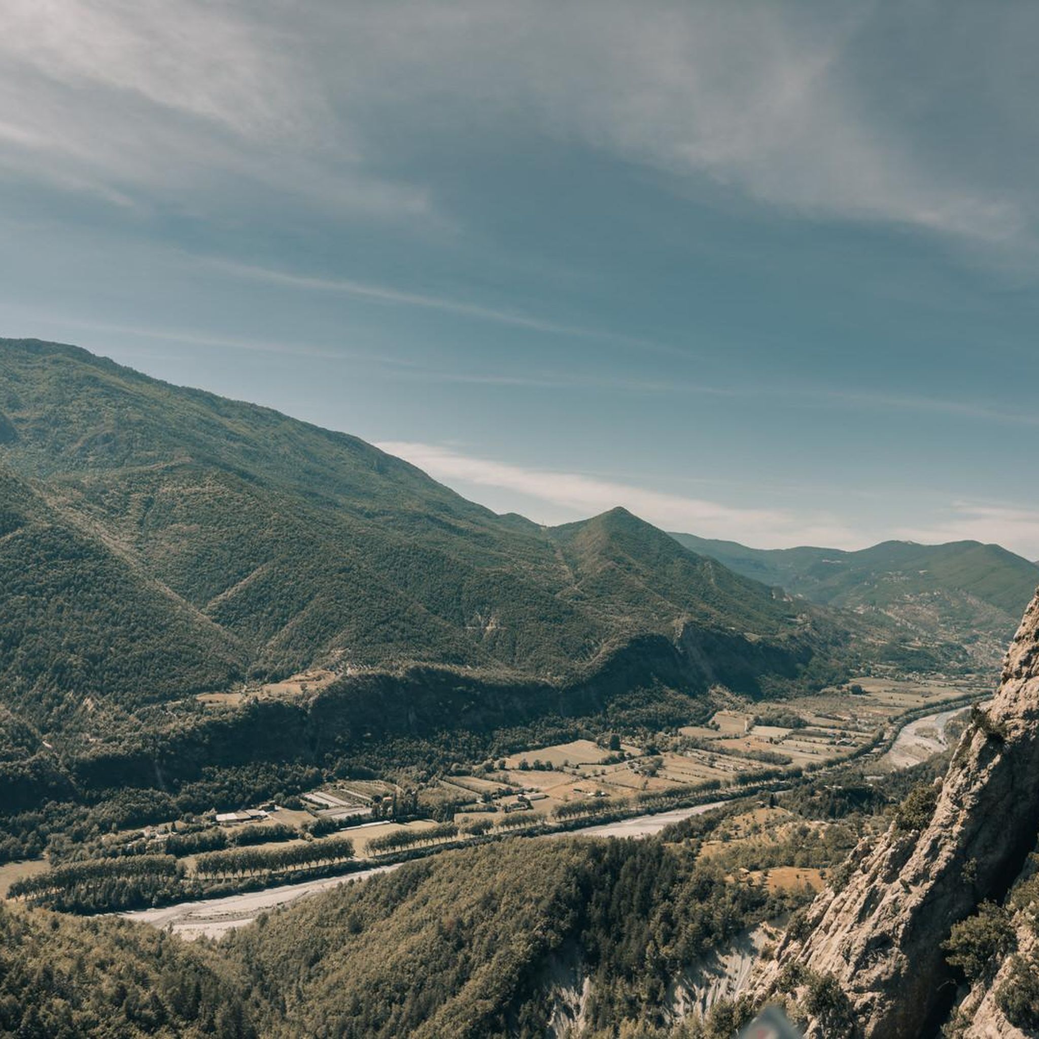
Touring cycling routes around La Rochette traverse a landscape characterized by deep gorges, winding river valleys, and challenging mountain passes. The region, situated in the French Alps-Maritimes, features significant elevation changes and diverse terrain suitable for experienced cyclists. Routes often follow the Var and Esteron rivers, offering views of dramatic rock formations and the surrounding Mediterranean pre-Alps.
Best touring cycling routes around La Rochette
- The most popular touring cycling route is Azur Loop No. 1: Between Var and Esteron,…
Last updated: August 19, 2026
86
riders
88.3km
06:23
1,910m
1,910m
Hard bike ride. Very good fitness required. Mostly paved surfaces. Suitable for all skill levels.
4.0
(1)
21
riders
105km
07:29
2,080m
2,080m
Hard bike ride. Very good fitness required. Mostly paved surfaces. Suitable for all skill levels.

Sign up for free
5.0
(1)
12
riders
46.4km
03:24
960m
960m
Hard bike ride. Very good fitness required. Mostly paved surfaces. Suitable for all skill levels.
4.0
(1)
15
riders
23.2km
01:44
530m
530m
Hard bike ride. Very good fitness required. Mostly paved surfaces. Suitable for all skill levels.
10
riders
56.2km
04:07
1,250m
1,250m
Hard bike ride. Very good fitness required. Mostly paved surfaces. Suitable for all skill levels.
Get access to more routes and recommendations from other explorers.
Sign up for free
Already have an account?
Our route recommendations are based on thousands of hikes, rides, and runs completed by other people on komoot.
Start today with a free account
Your next adventure awaits.
Login or Signup
Tips from the Community

The Col de la Couillole is a mountain pass in the Massif du Mercantour-Argentera of the French Alps, situated at an altitude of 1,678 m (5,505 ft) in the Alpes-Maritimes department, France. The road connection is open for six to seven months of the year, allowing travel between the Cians gorges in the west and the Tinée valley in the east.
0
0

village of ascros hanging on a rock, frankly I recommend you go there by bike, it's magical and magnificent as a place
0
0

An absolutely worthwhile detour if you are driving the Route des grandes Alpes.
0
0

Very beautiful road in the hollow of steep gorges with walls of red rocks. A place suitable for canyoning.
0
1

Saint-Sauveur-sur-Tinée is a small village of just 300 inhabitants located in the heart of the Tinée valley. It is part of the Mercantour National Park, and thanks to its geographical position it has become a fairly renowned tourist location. For this reason, despite its small size, you can find a few grocery stores and a couple of accommodations to stay overnight.
1
0

Beautiful view overlooking the valley!
0
0
Very beautiful view of the village of Gilette. Around 450m of altitude difference from the Var valley, it's worth it!
0
0
Frequently Asked Questions
How many touring cycling routes are available around La Rochette?
There are over 35 touring cycling routes around La Rochette, offering a wide range of options for cyclists. The region is known for its challenging terrain, with the majority of routes catering to experienced riders.
What is the general difficulty level of touring cycling routes in La Rochette?
The touring cycling routes around La Rochette are predominantly challenging, with 30 routes rated as difficult and 4 as moderate. There is also 1 easy route available. This reflects the region's landscape of deep gorges, winding river valleys, and significant elevation changes in the French Alps-Maritimes.
What kind of terrain can I expect on touring cycling routes around La Rochette?
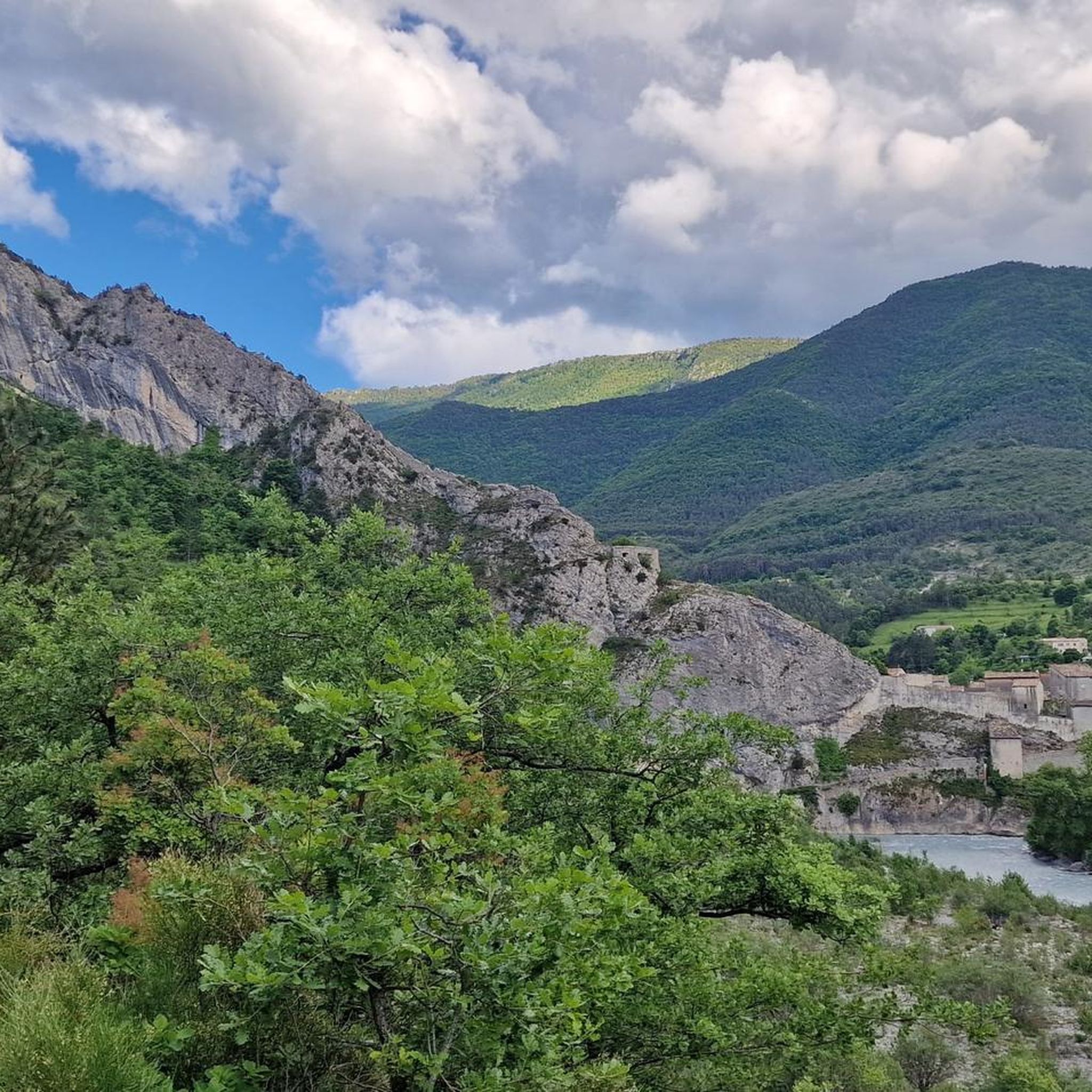
Touring cycling routes around La Rochette traverse a landscape characterized by deep gorges, winding river valleys, and challenging mountain passes. You can expect significant elevation changes and diverse terrain, often following the Var and Esteron rivers, offering views of dramatic rock formations and the surrounding Mediterranean pre-Alps.
What do other cyclists say about touring cycling in La Rochette?
The touring cycling routes in La Rochette are highly rated by the komoot community, with an average score of 4.8 stars from more than 30 reviews. Cyclists often praise the challenging mountain passes, scenic river valleys, and the diverse terrain that makes for a rewarding experience.
Are there any circular touring cycling routes in La Rochette?
Yes, many routes around La Rochette are designed as loops, allowing you to start and finish in the same location. For example, the difficult route View of the Gorges du Var – Bride's Bridge loop from Entrevaux offers panoramic views, and the Col de Saint-Raphaël (876 m) – Roquestéron loop from Puget-Théniers leads through mountain passes and valleys.
What are some notable landmarks or viewpoints I can see along the touring cycling routes?
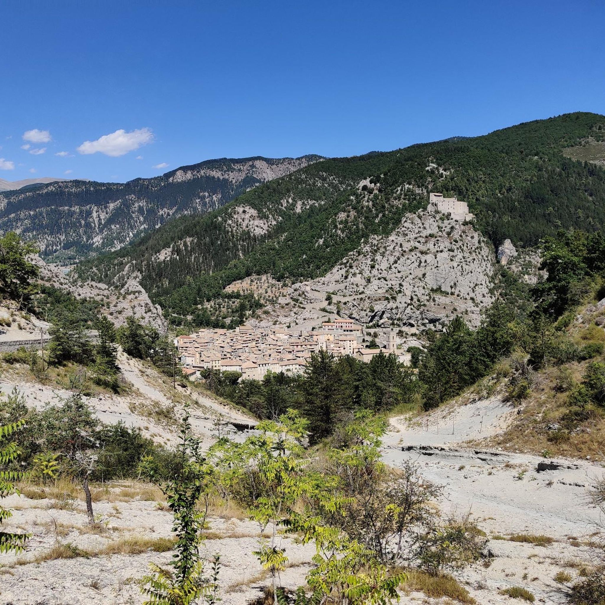
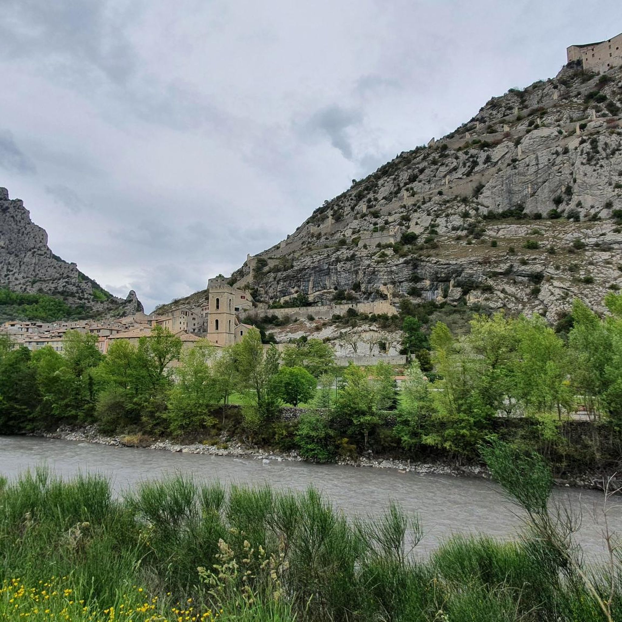
The region offers several impressive landmarks and viewpoints. You can encounter the Clue de Gréolières Scenic Road, or enjoy the View of Entrevaux. Mountain passes like Col de Pinpinier and Col de Saint-Raphaël also offer stunning vistas.
Are there any routes that are particularly scenic or offer great views?
Absolutely. The route View of the Gorges du Var – Bride's Bridge loop from Entrevaux is renowned for its panoramic views of the Gorges du Var. Additionally, the Beautiful landscape – Castillon Dam loop from Entrevaux offers expansive natural beauty, including the impressive Castillon Dam.
Are there any touring cycling routes suitable for families or beginners?
While the majority of routes around La Rochette are difficult, there is 1 easy route available. For families or beginners, it's recommended to carefully check the elevation gain and distance of any chosen route. The Azur Loop No. 1: Between Var and Esteron is a moderate option that provides a balanced experience through varied terrain, but still requires a reasonable fitness level.
What is the best season for touring cycling in La Rochette?
Given the region's location in the French Alps-Maritimes, spring and autumn generally offer the most pleasant conditions for touring cycling. Temperatures are milder, and the natural scenery is vibrant. Summer can be quite hot, especially in the valleys, while winter may bring snow to higher mountain passes, making some routes inaccessible.
Are there any routes that focus on mountain passes?
Yes, the region is characterized by its challenging mountain passes. The route Col de Saint-Raphaël (876 m) – Roquestéron loop from Puget-Théniers specifically leads through significant mountain passes and valleys. You can also find highlights like Col du Buis and Col de Félines (930 m).
Can I find routes that offer a good challenge for advanced cyclists?
La Rochette is an excellent destination for advanced cyclists, with 30 out of 35 routes rated as difficult. Routes like View of the Gorges du Var – Bride's Bridge loop from Entrevaux and Beautiful landscape – Castillon Dam loop from Entrevaux feature significant elevation gains and long distances, providing a substantial challenge.
Most popular attractions around La Rochette

Get inspired with the komoot mobile app


Explore more
Browse the best Cycling routes in other regions.
