The best walks and hikes around La Rochette
4.4
(219)
1,640
hikers
88
hikes
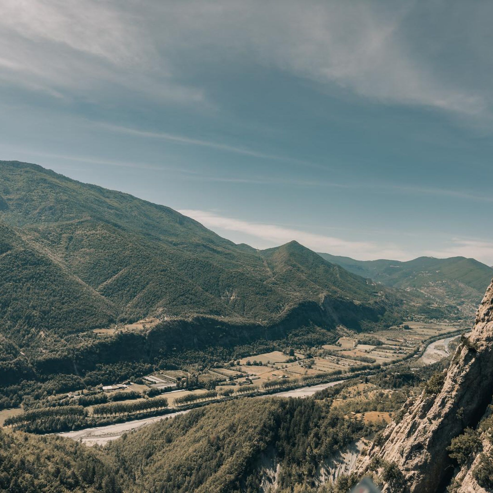
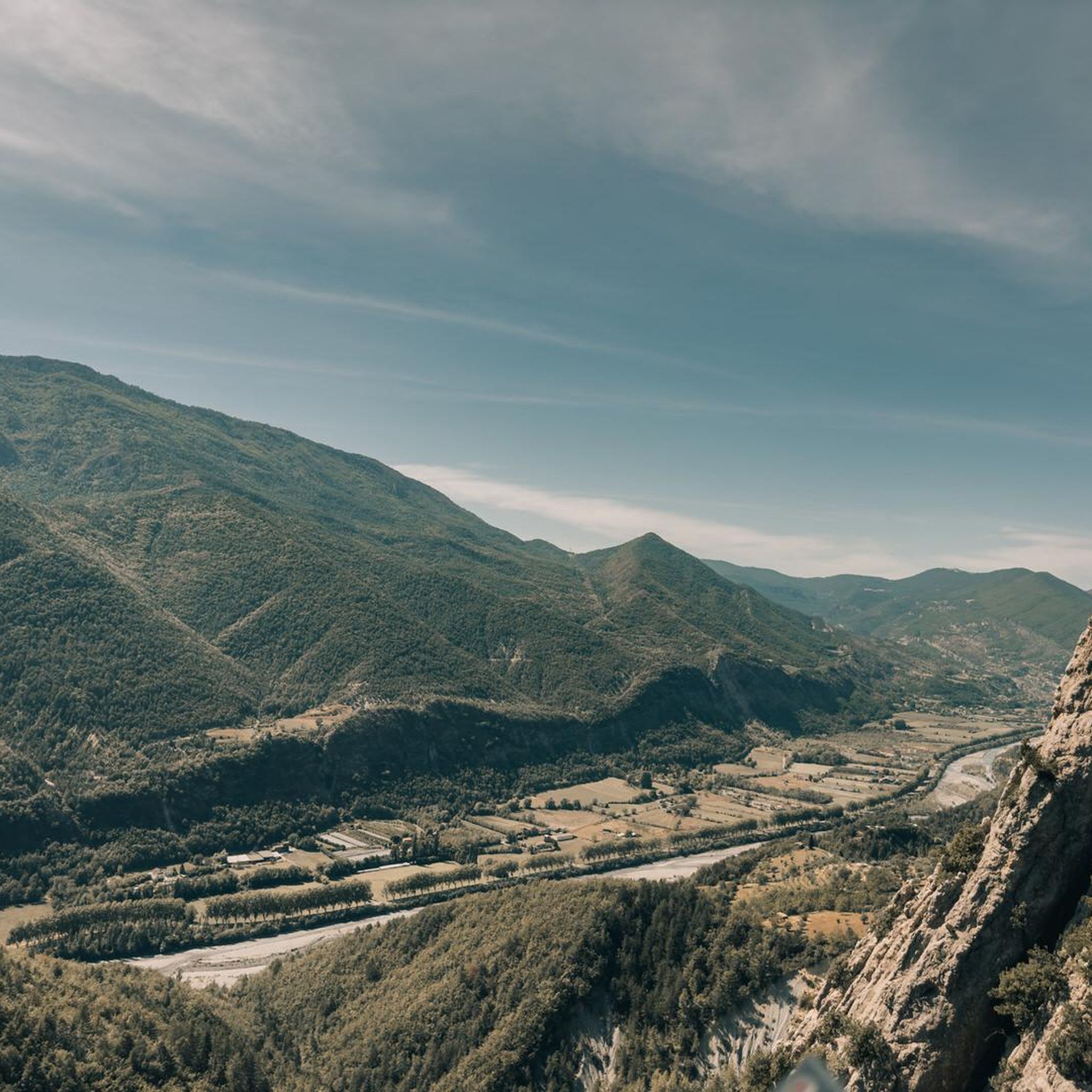
Hiking around La Rochette features a landscape characterized by significant elevation changes, including prominent peaks like Mont Saint-Martin and Cacia Peak. The region offers a mix of challenging ascents and moderate trails through varied terrain. Valleys, such as those around the Esteron and Le Var rivers, provide diverse hiking environments for those seeking scenic viewpoints La Rochette hikes.
Best hiking trails around La Rochette
- The most popular hiking route is Mont Saint-Martin Summit loop from Pont du Riolan, a…
Last updated: June 25, 2026
4.5
(2)
24
hikers
11.6km
04:11
680m
680m
Moderate hike. Good fitness required. Easily-accessible paths. Suitable for all skill levels.
4.5
(2)
24
hikers
11.9km
04:20
680m
680m
Hard hike. Good fitness required. Sure-footedness, sturdy shoes and alpine experience required.

Sign up for free
4.7
(3)
29
hikers
14.7km
04:23
390m
390m
Moderate hike. Good fitness required. Easily-accessible paths. Suitable for all skill levels.
4.7
(3)
18
hikers
8.37km
02:57
480m
490m
Moderate hike. Good fitness required. Easily-accessible paths. Suitable for all skill levels.
6
hikers
17.4km
05:43
620m
620m
Hard hike. Very good fitness required. Mostly accessible paths. Sure-footedness required.
Get access to more routes and recommendations from other explorers.
Sign up for free
Already have an account?
Our route recommendations are based on thousands of hikes, rides, and runs completed by other people on komoot.
Start today with a free account
Your next adventure awaits.
Login or Signup
Tips from the Community

In addition to the citadel, cathedral, and its gates, Entrevaux also boasts a beautiful and cozy historic center. The Place Charles Panier and Place du Planet, in particular, invite you to linger in one of the cafés or restaurants.
5
0
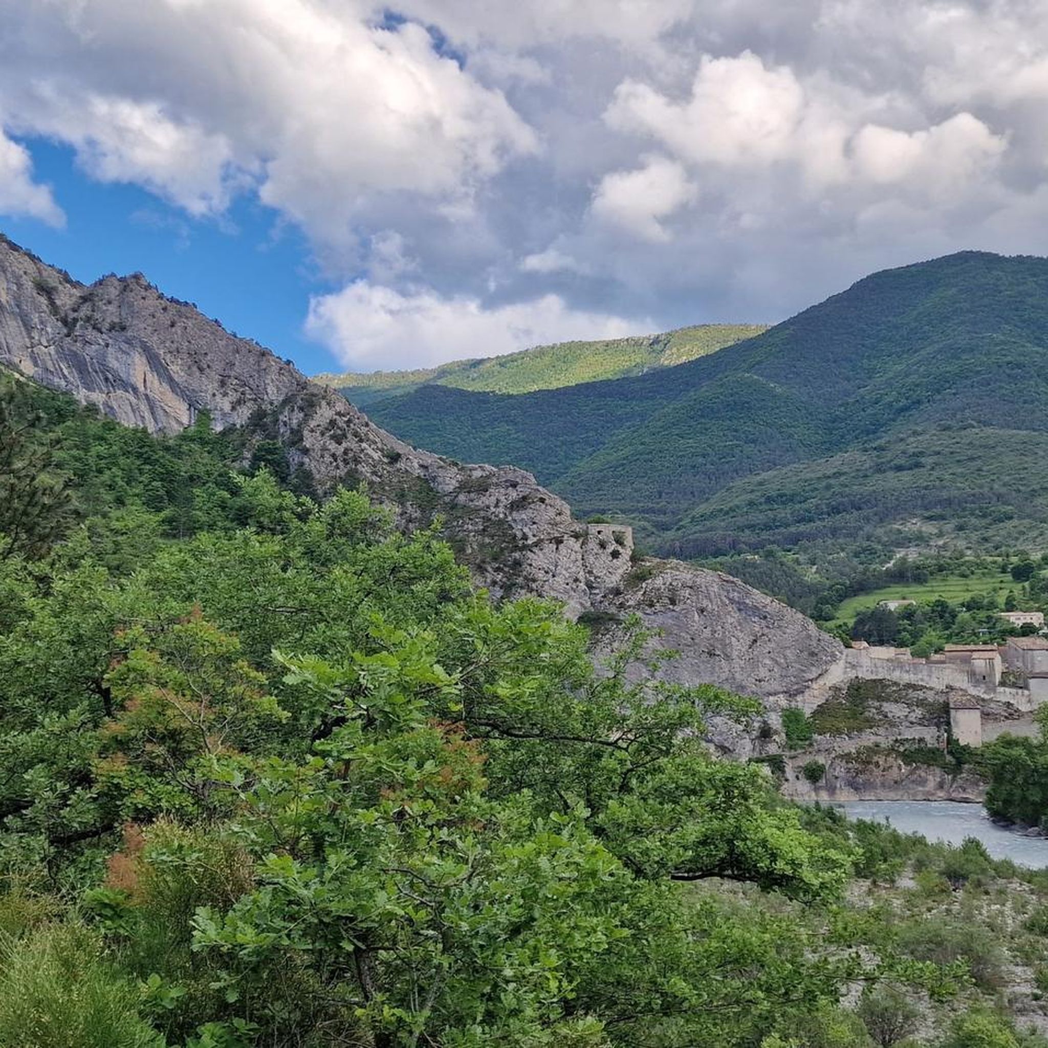
The climb begins at the Chemin des Oliviers and extends over 670 m and a 130 m ascent to the rear of the citadel. Along the way, you'll enjoy beautiful views over the Var Valley. Sturdy footwear and a steady gait are required for the hike. There are a few smaller sections that require this. Once at the top, you can continue hiking in other directions, but the citadel is not accessible from this side. You can cross a bridge into a gate and view some documentation photos, but the gate to the citadel itself is locked.
4
0
The Cathedral of Our Lady of the Assumption of the Diocese of Glandèves was located outside Entrevaux in the Glandèves district until the 16th century. For security reasons, the bishops moved their seat one kilometer west to Entrevaux in the early 17th century, where they had the Cathedral of Our Lady of the Assumption built between 1612 and 1630. The bell tower was built between 1657 and 1671. Since the suppression of the diocese in 1801, the cathedral has been the parish church of Entrevaux. Today, it belongs to the parish of the Secteur paroissial du Var. Annot – Entrevaux. Source and further information: https://de.wikipedia.org/wiki/Kathedrale_Notre-Dame-de-l’Assomption_(Entrevaux)
4
0
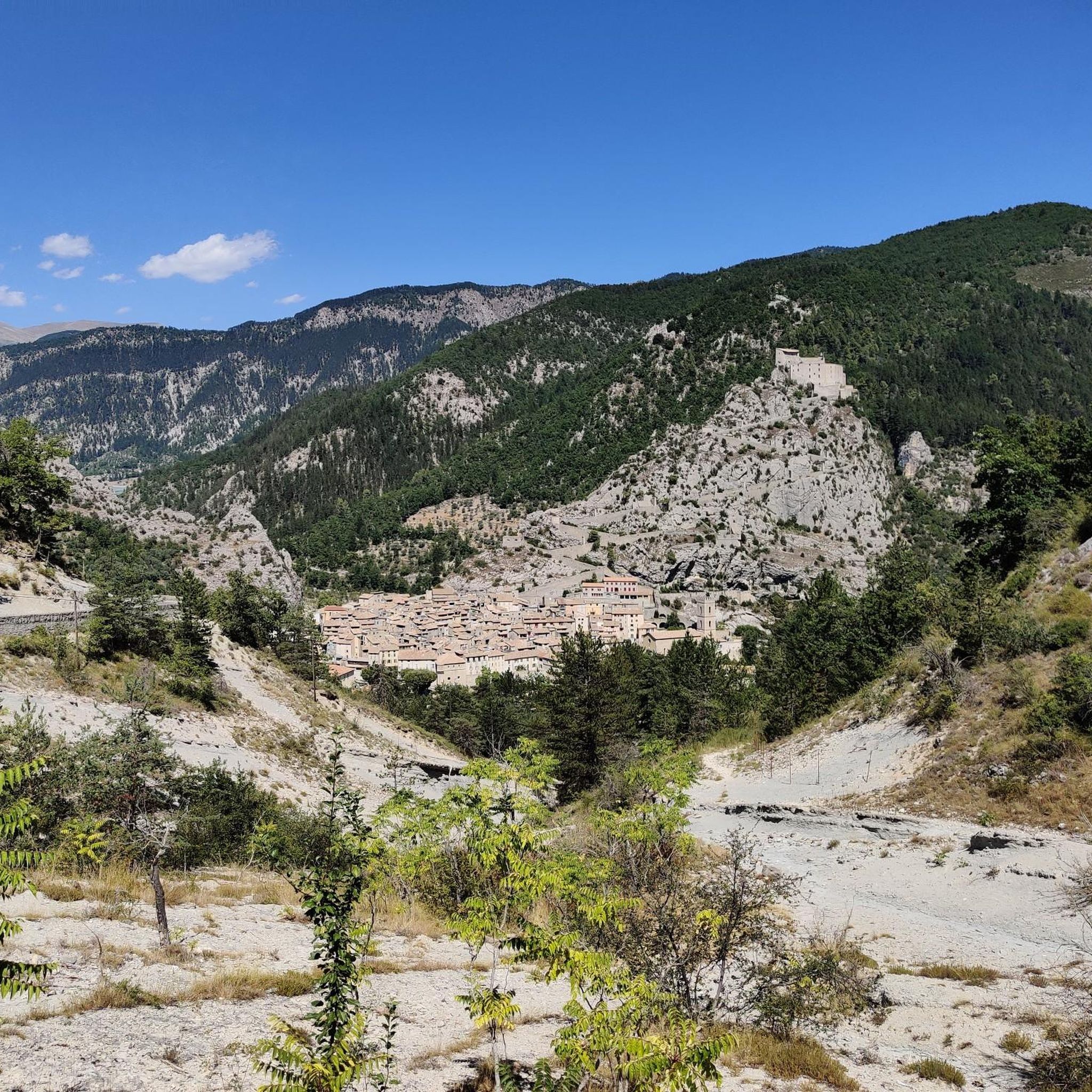
Viewpoint with bench and stunning views of the historic center of Entrevaux, the medieval city walls, the citadel and cathedral.
4
0

as the Nice group Nux Vomica sang, Entrevaux is already France
0
0


A beautiful little village, from the village a long staircase starts that leads up to the castle that watches over the town.
15
0

In a meander of the Var, the citadel of Entrevaux stands on the sides of a rocky spur. At the top, the view of the village and the valley is breathtaking.
1
0
Frequently Asked Questions
How many hiking trails are available around La Rochette?
There are over 90 hiking trails around La Rochette, offering a wide range of options for different skill levels. This includes 15 easy routes, 51 moderate routes, and 24 difficult routes, ensuring there's something for everyone.
What do other hikers say about the trails in La Rochette?
The trails in La Rochette are highly rated by the komoot community, with an average score of 4.4 stars from over 200 reviews. Hikers often praise the diverse terrain, significant elevation changes, and scenic viewpoints, particularly around prominent peaks and river valleys.
Are there easy hiking trails suitable for beginners in La Rochette?
While the region is known for significant elevation changes, there are 15 easy routes available. These trails offer a gentler introduction to the landscape, allowing beginners to enjoy the natural beauty without overly challenging ascents.
Where can I find more challenging hikes around La Rochette?
For those seeking a challenge, La Rochette offers 24 difficult routes. A notable option is the Mont Saint-Martin Summit – Mount Saint-Martin loop from Sallagriffon, a 7.4-mile (11.9 km) path featuring sustained elevation gain to the peak.
Are there circular hiking routes available in La Rochette?
Yes, many routes in La Rochette are circular, allowing you to start and end at the same point. An example is the Mont Saint-Martin Summit loop from Pont du Riolan, a moderate 7.2-mile (11.6 km) trail with a notable climb.
What are some scenic viewpoints or landmarks to explore along the trails?
The region offers several scenic spots. You can find stunning views along routes like the View of Entrevaux – Historic Center of Entrevaux loop from Le Var. Additionally, nearby attractions include the View of Entrevaux and the dramatic Clue de Gréolières Scenic Road.
Are there any hikes that pass through mountain passes?
Yes, the area around La Rochette is characterized by several mountain passes. You might encounter passes such as Col de Pinpinier, Col du Buis, or Col de Félines (930 m) on various routes, offering unique perspectives of the landscape.
How long do hikes typically take around La Rochette?
Hike durations vary significantly depending on the route's length and difficulty. For instance, the Mont Saint-Martin Summit loop from Pont du Riolan typically takes around 4 hours 11 minutes, while a longer route like the Crossing Esteron loop from Collongues can take over 5 hours 40 minutes.
Are there less crowded hiking trails in La Rochette?
While some popular routes can see more foot traffic, the extensive network of over 90 trails means it's possible to find quieter paths, especially on weekdays or by exploring some of the less-trafficked moderate and difficult routes. The region's diverse terrain allows for exploration away from the main hubs.
What is the best time of year to hike in La Rochette?
The region's climate generally allows for hiking across multiple seasons. Spring and autumn offer pleasant temperatures and vibrant scenery, while summer can be ideal for higher-altitude trails. Winter hiking is also possible, though some higher or more exposed routes may require appropriate gear and conditions awareness.
Are there any routes that explore the river valleys?
Yes, the valleys around the Esteron and Le Var rivers provide diverse hiking environments. The View of Entrevaux – Historic Center of Entrevaux loop from Le Var is an example of a route that leads through varied landscapes, often incorporating river valley views.
Can I find hikes with significant elevation gain for training?
Absolutely. La Rochette is characterized by significant elevation changes, making it excellent for training. Routes like the Cacia Peak loop from Sigale, with its nearly 480 meters of ascent, offer substantial climbs within a moderate distance.
Most popular attractions around La Rochette

Get inspired with the komoot mobile app


Explore more
Browse the best Hikes in other regions.
