The best running trails around Saint-Jacques-Des-Blats
4.5
(16)
961
runners
17
runs
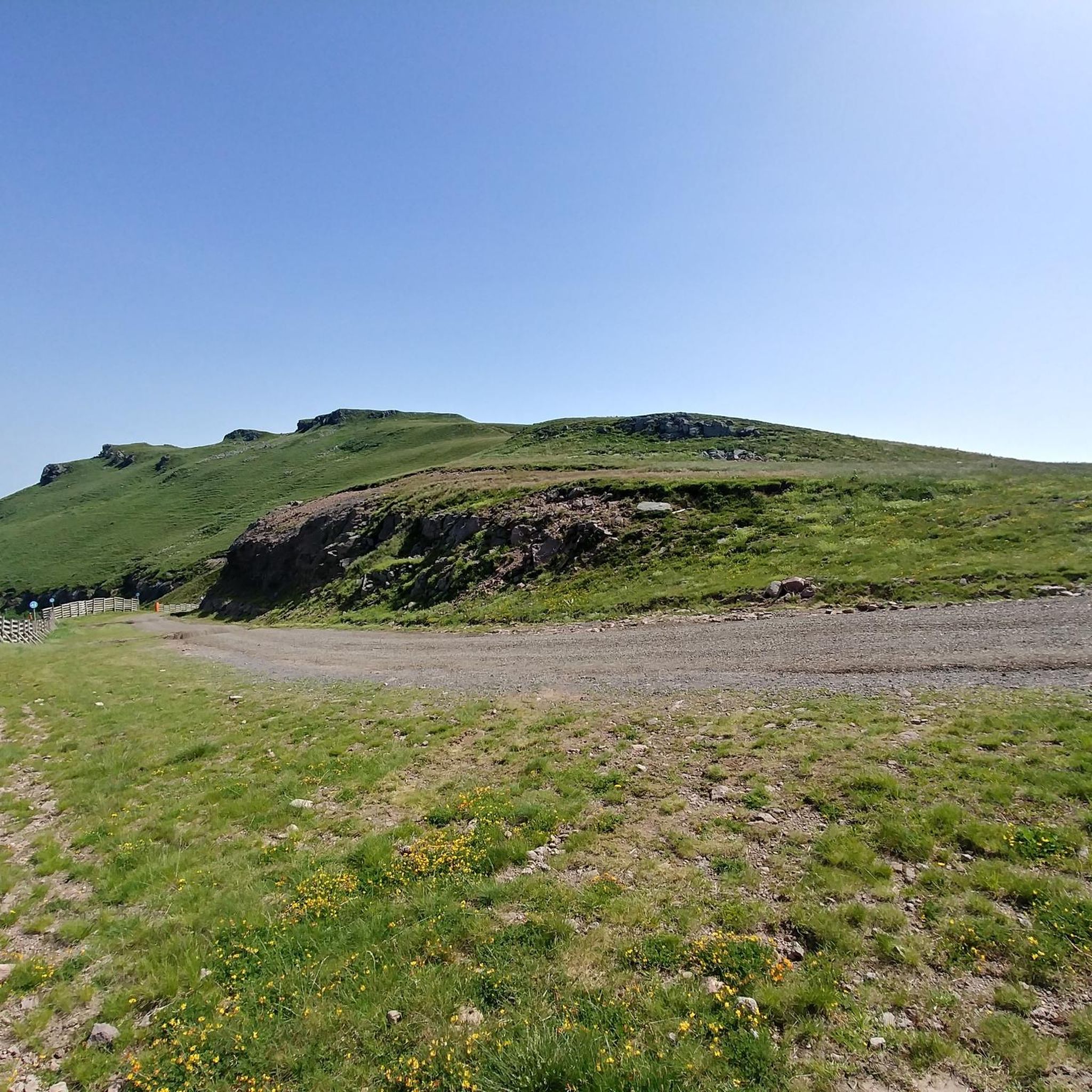
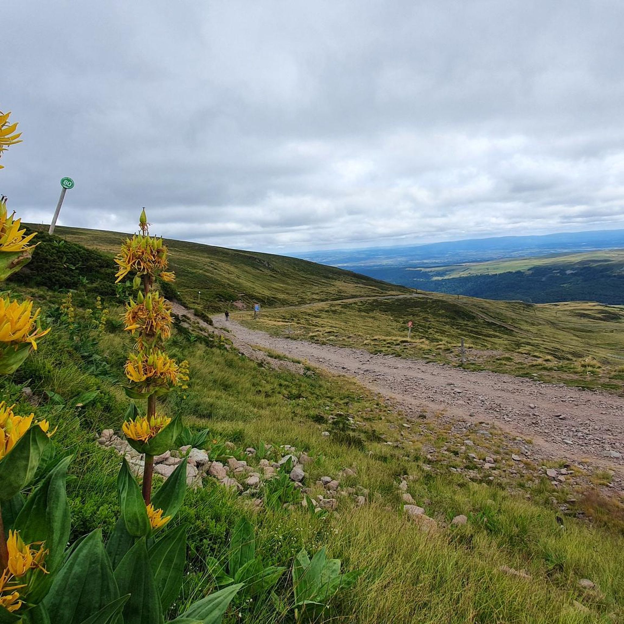
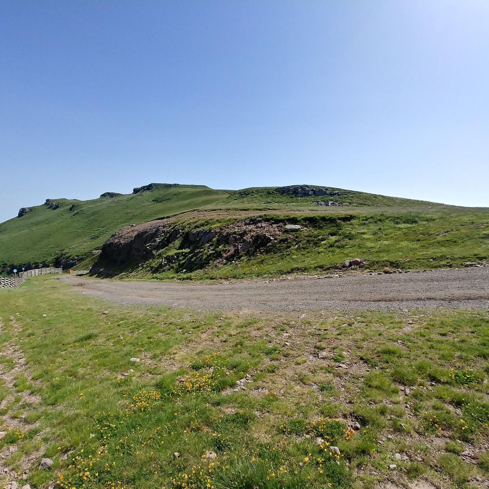
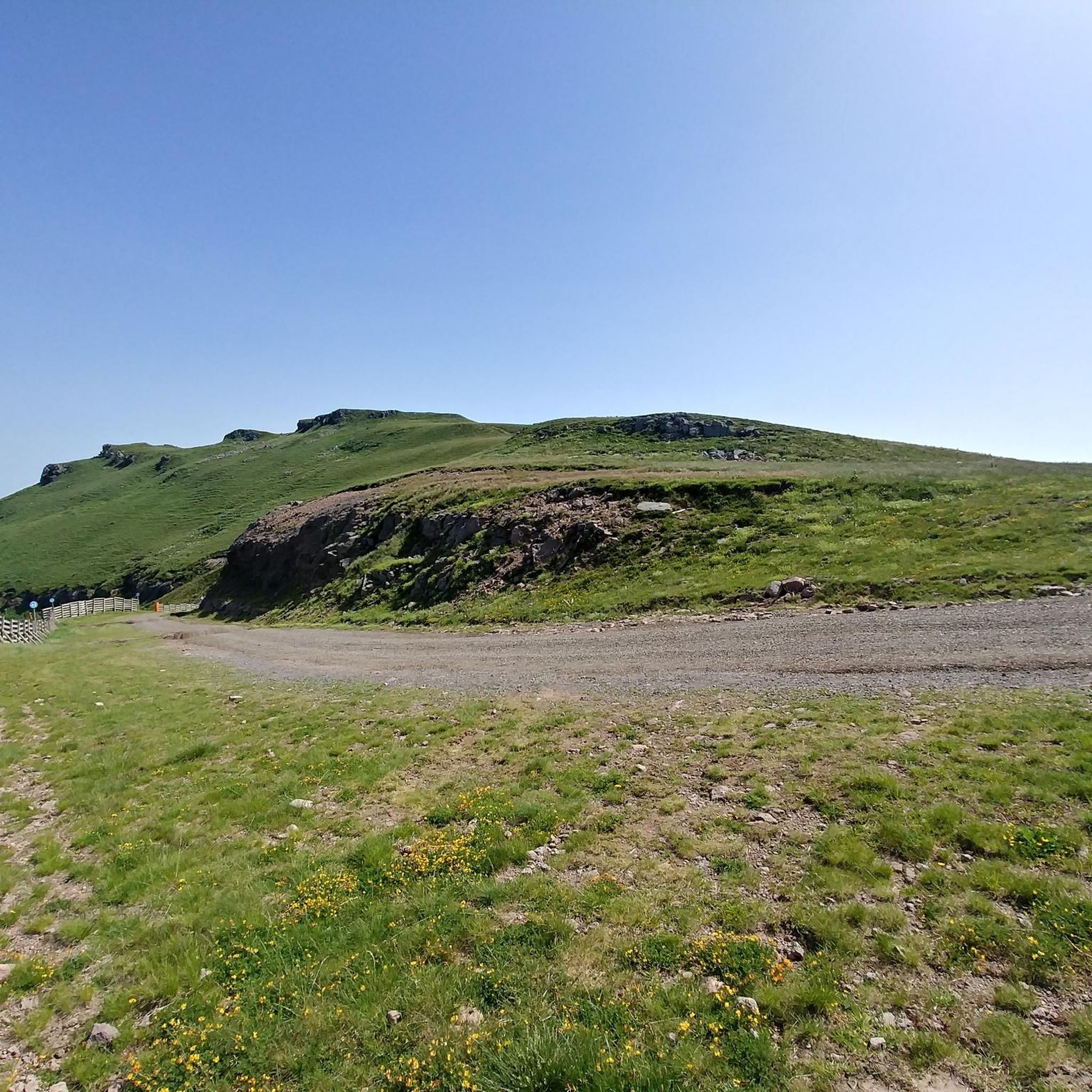
Jogging routes around Saint-Jacques-Des-Blats traverse a landscape shaped by the Cantal volcanic massif, offering varied terrain for runners. The region is characterized by volcanic peaks, including the Plomb du Cantal and Puy Mary, extensive forests of pine and beech, and open pastures. Runners can explore routes through the Cère Valley and along ridge-lines, experiencing diverse natural features within the Parc Naturel Régional des Volcans d'Auvergne. This area provides a range of altitudes and environments suitable for running.
Best jogging routes…
Last updated: June 29, 2026
90
runners
Hard run. Very good fitness required. Sure-footedness, sturdy shoes and alpine experience required.
4.5
(2)
161
runners
33.4km
05:03
1,490m
1,490m
Hard run. Very good fitness required. Sure-footedness, sturdy shoes and alpine experience required.

Sign up for free
27
runners
14.2km
02:06
660m
660m
Hard run. Very good fitness required. Sure-footedness, sturdy shoes and alpine experience required.
30
runners
35.9km
05:06
1,460m
1,460m
Hard run. Very good fitness required. Sure-footedness, sturdy shoes and alpine experience required.
3.9
(7)
21
runners
18.8km
02:38
490m
490m
Hard run. Very good fitness required. Sure-footedness, sturdy shoes and alpine experience required.
Get access to more routes and recommendations from other explorers.
Sign up for free
Already have an account?
Our route recommendations are based on thousands of hikes, rides, and runs completed by other people on komoot.
Start today with a free account
Your next adventure awaits.
Login or Signup

Tips from the Community


Superb and eating at the buron moved
0
0

The Rolland Breach was mildly challenging for this 72yo when dry. Descending in the wet would need good grippy footwear. There is an alternative GR400 track bypass
0
0


At an altitude of 1,588 meters, the Pas de Peyrol is located between the Puy Mary and the Puy de la Tourte. It is known to be the highest road pass in the Massif Central and is worth it, because the last few kilometers have high percentages. There you can admire Puy Mary which peaks at an altitude of 1,783 metres. It is one of the peaks of the Cantal mountains. It is easily recognizable with its pyramidal silhouette.
1
0

In a wind that dehorns the oxen, sublime landscapes in all seasons!
2
0

This artificial reserve for snow cannons in winter offers beautiful views of the Plomb du Cantal, the Arpon du Diable and the Puy Brunet.
0
0
Frequently Asked Questions
How many running routes are available around Saint-Jacques-Des-Blats?
There are over 15 running routes around Saint-Jacques-Des-Blats, offering a variety of experiences for joggers. The komoot community has explored these diverse trails over 1600 times.
What kind of terrain can I expect on the jogging routes in Saint-Jacques-Des-Blats?
The terrain around Saint-Jacques-Des-Blats is largely shaped by the Cantal volcanic massif. You can expect a mix of volcanic peaks, extensive forests of pine and beech, and open pastures. Routes often traverse valleys and ridge-lines, providing varied environments within the Parc Naturel Régional des Volcans d'Auvergne.
Are there any easy or beginner-friendly running trails in the area?
While many routes in Saint-Jacques-Des-Blats are considered difficult due to the mountainous terrain, there are options for various ability levels. For instance, a 3.34 km loop around L'Élancèze from Saint-Jacques-des-Blats is mentioned as suitable for a shorter run in the region research, though specific easy routes are not detailed in the guide data. Most routes listed in the guide are challenging.
What are some challenging running routes for experienced joggers?
For experienced runners seeking a challenge, the region offers several demanding routes. Consider the Puy Mary via the col de Cabre from Le Lioran, a 15 km trail with significant elevation gain. Another difficult option is the Plomb du Cantal loop from Col de Font de Cère, a 15.5 km path offering views of the highest peak in Cantal.
Can I find circular running paths around Saint-Jacques-Des-Blats?
Yes, many of the running routes in the area are circular. For example, the Puy Griou loop from Saint-Jacques-des-Blats is a 15.4 km circular trail that takes you through volcanic terrain with views of Puy Griou. The Plomb du Cantal loop from Col de Font de Cère is also a popular circular option.
Are there any scenic viewpoints or natural landmarks to see while running?
Absolutely. The region is rich in natural landmarks. You can run past prominent peaks like Plomb du Cantal and Puy Mary Summit, or explore mountain passes such as Cabre Pass. The area is part of the Parc Naturel Régional des Volcans d'Auvergne, offering breathtaking panoramic views of the volcanic massif and surrounding valleys.
Are the running routes in Saint-Jacques-Des-Blats suitable for families?
The region offers a variety of trails, from easily accessible paths to more challenging routes. While many listed routes are difficult, the broader area has trails suitable for various fitness levels. It's advisable to check the specific route details for distance and elevation gain to ensure it matches your family's capabilities.
Can I bring my dog on the jogging trails?
The Parc Naturel Régional des Volcans d'Auvergne, which encompasses Saint-Jacques-Des-Blats, generally welcomes dogs on trails, often requiring them to be on a leash to protect wildlife and livestock. It's always best to check local signage or specific park regulations for the exact trail you plan to use.
What is the best time of year to go running in Saint-Jacques-Des-Blats?
The spring and summer months are ideal for running, with lush forests and pastures. Spring offers a chance to encounter rich wild flora. The region's volcanic and mountainous terrain can also be stunning in autumn. Winter running is possible but may require specific gear due to snow and ice at higher elevations.
What do other runners say about the trails in Saint-Jacques-Des-Blats?
The running routes in Saint-Jacques-Des-Blats are highly rated by the komoot community, with an average score of 4.7 stars from over 10 reviews. Runners often praise the stunning volcanic landscapes, the variety of terrain, and the opportunity to experience unspoiled nature away from urban hustle.
Are there any routes that pass by waterfalls or other unique natural features?
Yes, the region is known for its natural beauty. The Cascade de Liadouze, a beautiful waterfall just 4 km from Saint-Jacques-Des-Blats, can be incorporated into scenic jogging routes. The area also features immense forests of pine and beech, and numerous rivers and valleys, creating diverse landscapes to explore.
What should I wear for running in the Saint-Jacques-Des-Blats area?
Given the varied terrain and potential for significant elevation changes, it's recommended to wear appropriate trail running shoes with good grip. Layered clothing is advisable, as weather conditions can change quickly in mountainous regions. Always carry water, especially on longer routes, and consider sun protection.
Are there any long-distance running options for endurance training?
For those looking for longer distances, routes like the Col de Cabre (Cabre Pass) – Puy Mary loop from Cantal cover approximately 32.6 km with substantial elevation gain. Another challenging long-distance option is the Plomb du Cantal – Le Puy Brunet loop from Cantal, which is around 36 km.
Most popular routes around Saint-Jacques-Des-Blats
Most popular attractions around Saint-Jacques-Des-Blats

Get inspired with the komoot mobile app


Explore more
Browse the best Running Trails & Routes in other regions.
