The best cycling routes around Saint-Jacques-Des-Blats
4.5
(76)
1,465
riders
71
rides
Touring cycling around Saint-Jacques-Des-Blats is characterized by its location within the Parc Naturel Régional des Volcans d'Auvergne, offering routes through volcanic landscapes and the Monts du Cantal. The region features significant elevation changes, with routes traversing valleys like the Cère and ascending towards volcanic peaks. This area provides a challenging environment for touring cyclists, with varied terrain including both paved and unpaved segments.
Best touring cycling routes around Saint-Jacques-Des-Blats
- The most popular touring cycling route is Pas de Peyrol Pass (1,589 m) – Serre Pass loop from Mandailles, a 39.8 miles (64.1 km) trail that takes 4 hours 50 minutes to complete. This difficult route features substantial elevation gains through volcanic terrain.
- Another top favourite among local touring cyclists is Mandailles – Jordanne gorges loop from Puy Griou, a difficult 40.5 miles (65.2 km) path. This route offers views of the Jordanne gorges and passes near volcanic peaks.
- Local touring cyclists also love the Pas de Peyrol Pass (1,589 m) – Pretty village of Mandailles loop from Mandailles, a 13.0 miles (20.9 km) trail leading through volcanic landscapes and past local villages, often completed in about 1 hour 42 minutes.
- Touring cycling around Saint-Jacques-Des-Blats is defined by volcanic peaks such as Puy Mary and Plomb du Cantal, deep valleys like the Cère, and the expansive Monts du Cantal. The network offers options for different ability levels, from routes with moderate elevation to those requiring significant endurance.
- The routes in Saint-Jacques-Des-Blats are highly rated by the komoot community with an average score of 4.7 stars from more than 80 reviews. More than 2000 touring cyclists have used komoot to explore Saint-Jacques-Des-Blats's varied terrain.
Last updated: June 30, 2026
4.8
(6)
147
riders
64.6km
04:53
1,610m
1,610m
Hard bike ride. Very good fitness required. Mostly paved surfaces. Suitable for all skill levels.
4.4
(11)
155
riders
64.3km
04:24
1,070m
1,070m
Hard bike ride. Very good fitness required. Mostly paved surfaces. Suitable for all skill levels.

Sign up for free
5.0
(5)
57
riders
Hard bike ride. Very good fitness required. Mostly paved surfaces. Suitable for all skill levels.
5.0
(3)
50
riders
46.1km
03:48
1,470m
1,470m
Hard bike ride. Very good fitness required. Mostly paved surfaces. Suitable for all skill levels.
21
riders
21.0km
02:02
680m
680m
Hard bike ride. Very good fitness required. Mostly paved surfaces. Suitable for all skill levels.
Get access to more routes and recommendations from other explorers.
Sign up for free
Already have an account?
Our route recommendations are based on thousands of hikes, rides, and runs completed by other people on komoot.
Start today with a free account
Your next adventure awaits.
Login or Signup
Popular around Saint-Jacques-Des-Blats
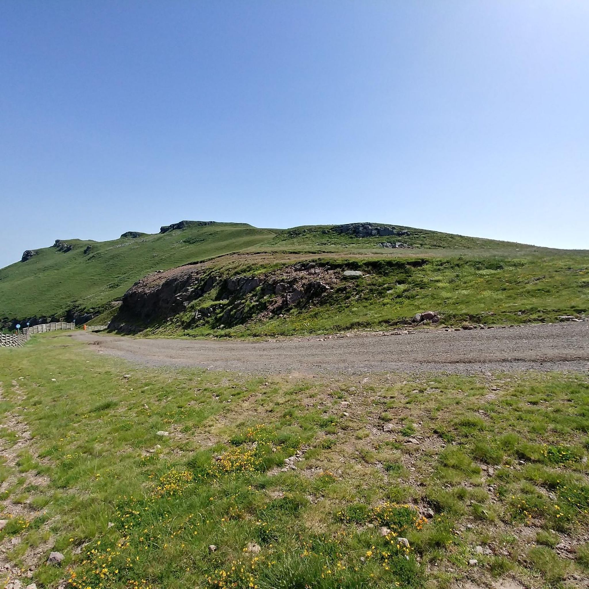
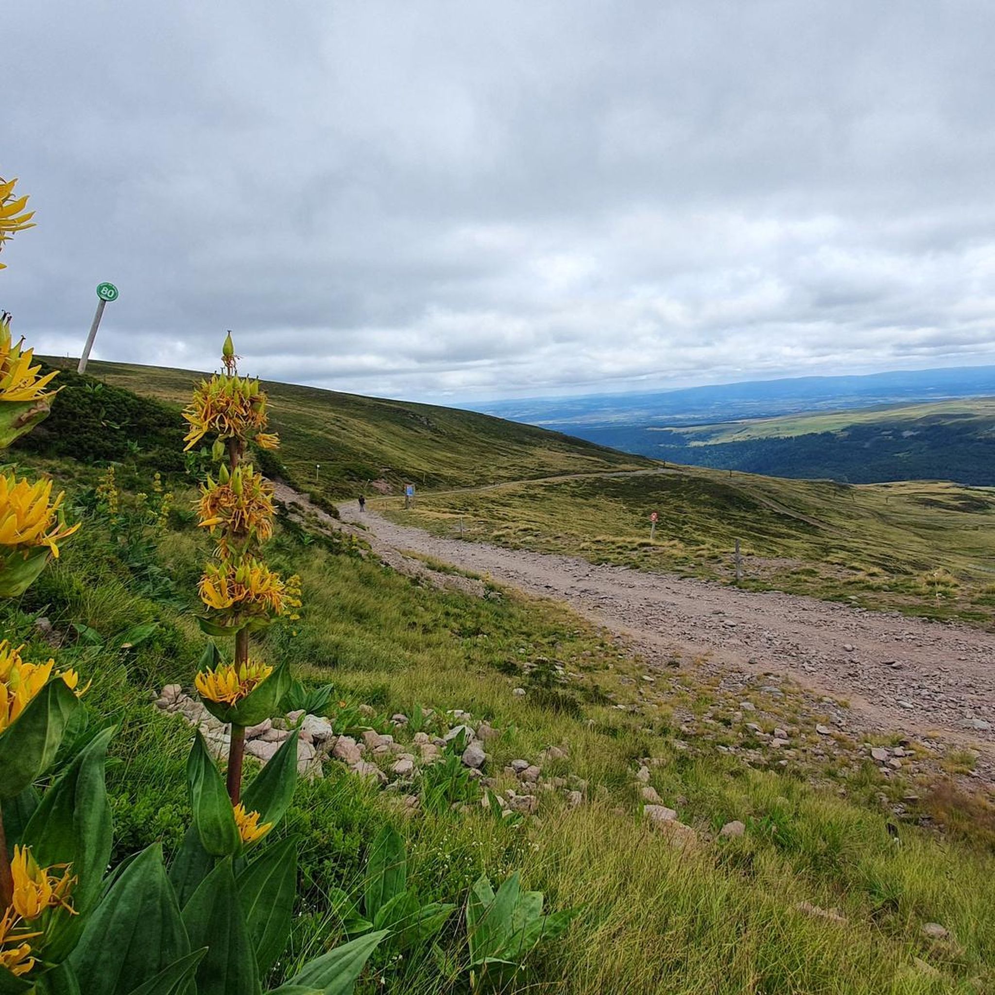
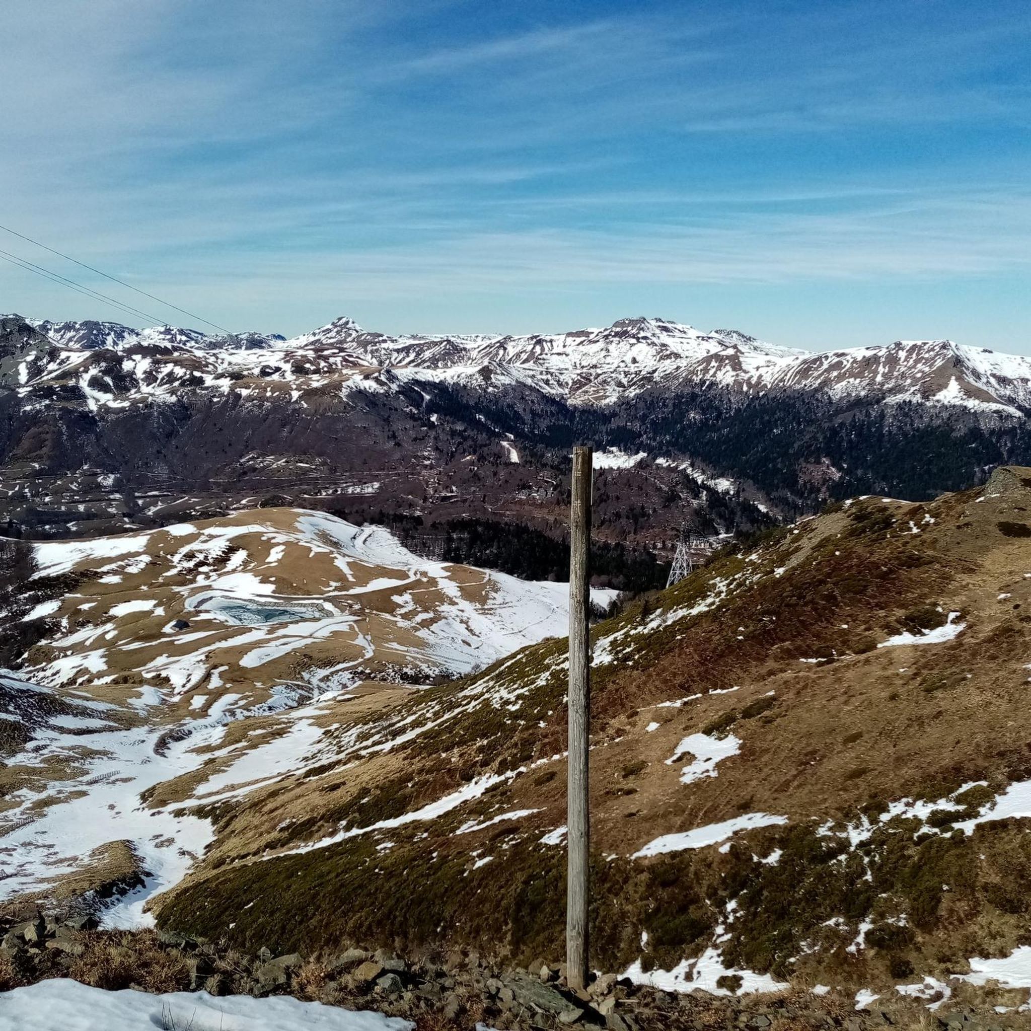
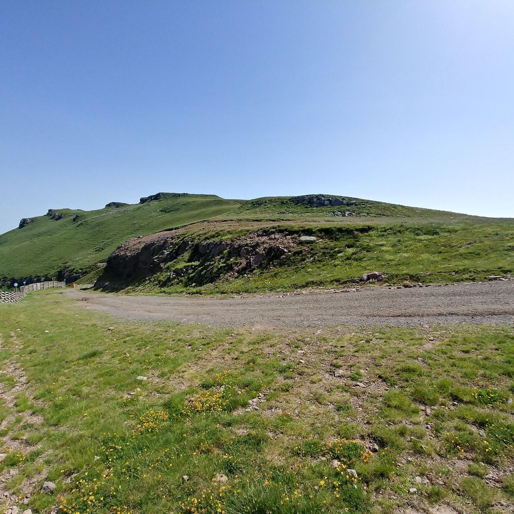

Tips from the Community

A beautiful, partly shady climb from Claux to the pass. Then the real challenge begins at Puy Mary.
0
0

The route takes you through incredibly beautiful scenery as you head up the valley.
1
0

This pass is rather easy if we compare it with what awaits us, the Puy Mary
1
0

Small entrance fee (2024): Adult 4.00 EUR Child 1.50 EUR Set price group adults 3.50 EUR Set price group children 1.00 EUR
0
0

The Jordanne Valley is a lush green valley that was formed as a glacial valley of the Puy Mary. A path through the dense greenery runs through the Jordanne Gorge, stretching for more than 3 km between the communities of Saint-Julien and Saint-Cirgues. A path with small footbridges and bridges allows visitors to discover this beautiful place and takes them deep into the gorge. There is a fee to enter.
1
0

At an altitude of 1,588 meters, the Pas de Peyrol is located between the Puy Mary and the Puy de la Tourte. It is known to be the highest road pass in the Massif Central and is worth it, because the last few kilometers have high percentages. There you can admire Puy Mary which peaks at an altitude of 1,783 metres. It is one of the peaks of the Cantal mountains. It is easily recognizable with its pyramidal silhouette.
1
0

Located in the heart of the Jordanne valley, Lac des Graves displays an exceptional and preserved setting. It's an ideal place for a walk or nap by the water!
0
0
Frequently Asked Questions
How many touring cycling routes are available in Saint-Jacques-Des-Blats?
There are over 75 touring cycling routes around Saint-Jacques-Des-Blats. The majority, 63 routes, are classified as difficult, with 11 moderate and 1 easy route, offering a wide range of challenges for cyclists.
What do other cyclists say about touring cycling in Saint-Jacques-Des-Blats?
The touring cycling routes in Saint-Jacques-Des-Blats are highly rated by the komoot community, with an average score of 4.7 stars from more than 80 reviews. Over 2000 touring cyclists have used komoot to explore the area's varied terrain, often praising the stunning volcanic landscapes and challenging climbs.
What is the best time of year for touring cycling in Saint-Jacques-Des-Blats?
The region is best enjoyed for touring cycling during the warmer months, typically from late spring to early autumn. This period offers more stable weather conditions and ensures that higher mountain passes, which can be snow-covered, are accessible. The stunning volcanic scenery is particularly vibrant during these seasons.
Are there any circular touring cycling routes in the area?
Yes, many routes are designed as loops. For example, the challenging Pas de Peyrol Pass (1,589 m) – Serre Pass loop from Mandailles is a 64.1 km ride through volcanic terrain. Another option is the Mandailles – Jordanne gorges loop from Puy Griou, offering views of the gorges and volcanic peaks.
Are there routes suitable for beginners or those looking for an easier ride?
While many routes in Saint-Jacques-Des-Blats feature significant elevation gains, there is one route classified as easy. For those seeking a less strenuous option, the Pas de Peyrol Pass (1,589 m) – Pretty village of Mandailles loop from Mandailles, though difficult, is shorter at 20.9 km and takes about 1 hour 42 minutes, offering a taste of the volcanic landscapes and local villages.
What kind of challenging routes can advanced touring cyclists expect?
Advanced touring cyclists will find plenty of demanding routes. The region is known for its significant elevation changes and mountainous terrain. Routes like the Pas de Peyrol Pass (1,589 m) – Serre Pass loop from Mandailles, with over 1500 meters of elevation gain, provide a substantial challenge. The area's volcanic peaks, such as Puy Mary and Plomb du Cantal, define these routes.
Are there any long-distance touring cycling routes that pass through Saint-Jacques-Des-Blats?
Yes, Saint-Jacques-Des-Blats was historically a stopping point on the Way of St. James. Modern cycling routes draw inspiration from these ancient paths, such as the "Saint-Jacques by bike - Via Tours" (V41), a long-distance bike pilgrimage route utilizing cycle paths and small country roads. You can find more information on France Vélo Tourisme.
Are there any waterfalls I can see along touring cycling routes?
Yes, the region features several beautiful waterfalls. While cycling, you might be able to visit highlights such as the Vergnes Waterfall, Arbre de la Biche Waterfall, or the Faillitoux Waterfall. The Gorges de la Cère also feature natural water formations.
What natural landmarks or scenic viewpoints can I expect to see?
The area is rich in natural beauty, being within the Parc Naturel Régional des Volcans d'Auvergne. You can expect panoramic views of volcanic peaks like Plomb du Cantal and Puy Mary, deep valleys such as the Cère, and the Gorges de la Jordanne. The site of Bouguette offers superb panoramic views over the Cère valley and the Monts du Cantal.
Are there any unique cultural or historical sites to explore?
Beyond the natural landscapes, you can encounter traditional stone huts known as burons scattered throughout the mountain pastures, adding to the cultural landscape. Some of these, like Buron d'Eylac Refuge or Buron de Cheylus, are accessible and offer a glimpse into the region's heritage.
Is it possible to find accommodation or places to eat along the routes?
Saint-Jacques-Des-Blats and surrounding villages offer various options for accommodation and dining. Traditional burons, some of which are now refuges like Refuge de Cabrespine or Meije Coste Refuge, can provide a unique experience. Local villages will also have cafes and restaurants to refuel.
What are the options for parking near touring cycling trailheads?
Parking is generally available in the villages and towns that serve as starting points for many routes, such as Mandailles or Le Lioran. Specific trailheads for popular routes often have designated parking areas, though it's advisable to check local signage upon arrival.
Can I use public transport to access cycling routes?
The region has some public transport options, though their frequency and capacity for bicycles may vary. The proximity to Le Lioran station suggests some rail access, but it's recommended to check local bus and train schedules for specific routes and bike carriage policies before planning your trip.
Most popular routes around Saint-Jacques-Des-Blats
Most popular attractions around Saint-Jacques-Des-Blats

Get inspired with the komoot mobile app


Explore more
Browse the best Cycling routes in other regions.
